 2.8Km
2.8Km
Note
 50m
50m
50m
2.3Km
3Km
3Km
3Km
3Km
3.1Km
3.7Km
50m
50m
50m
2.3Km
3Km
3Km
3Km
3Km
3.1Km
3.7Km
2.8Km
3.2Km
3.2Km
3.5Km
3.5Km
6.4Km
7.1Km
7.6Km
7.8Km
7.8Km
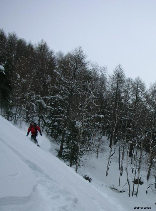
Gita che si svolge prevalentemente nel Gran Bosco, con lungo spostamento.
Avvicinamento
Raggiunto Oulx tramite SS24 del Monginevro oppure A32 Torino-Bardonecchia, si sale a Sauze d'Oulx proseguendo per la frazione Monfol e proseguire per 700 metri fino al parcheggio dell'area picnic Serre Blanche dove si lascia l'auto (se percorribile), in alternativa lasciare l'auto a Gran Villar oltre Sauze d'Oulx.
Attenzione a non lasciare l'auto nella borgata Monfol in quanto è vietato (multe)
Descrizione
Attenzione a non lasciare l'auto nella borgata Monfol in quanto è vietato (multe)
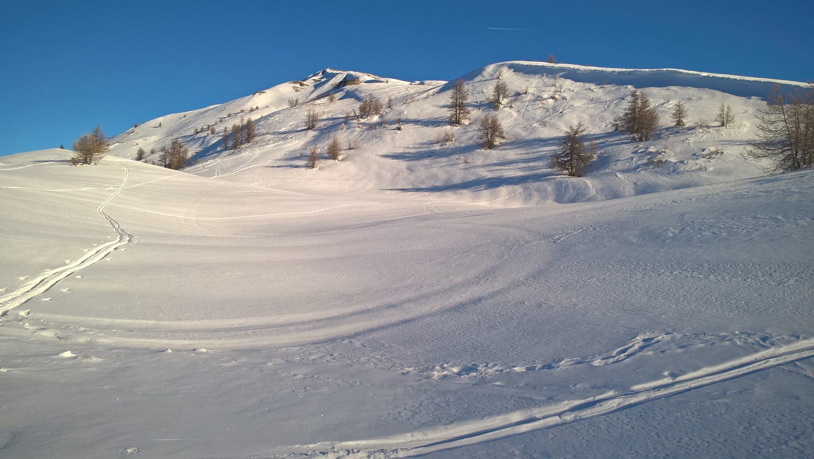
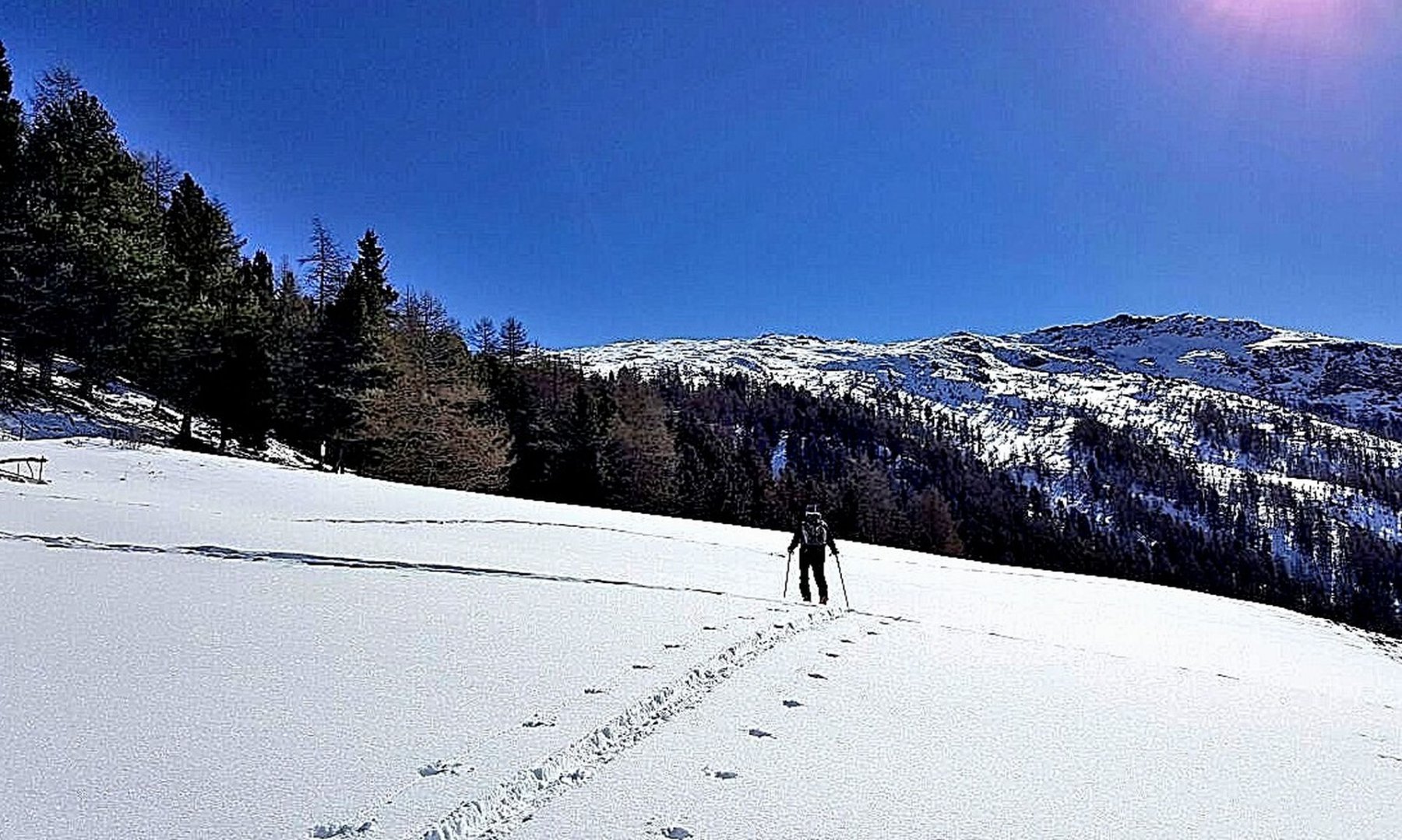
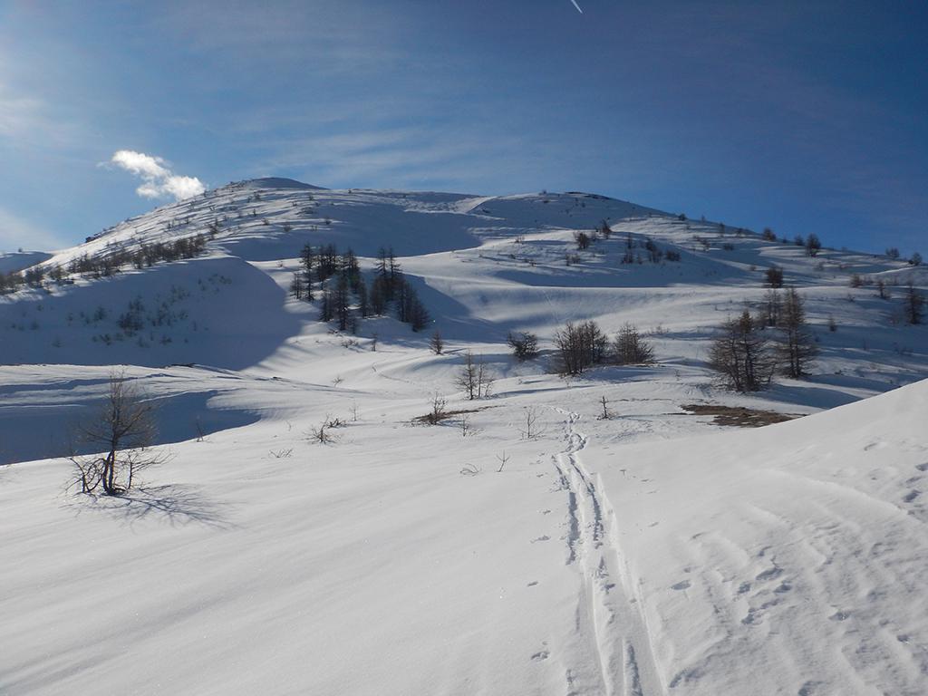
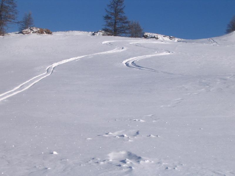
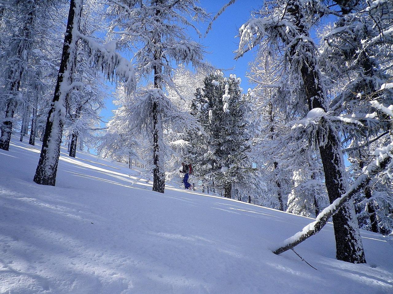
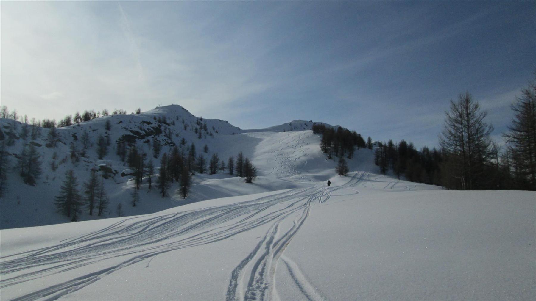
Da Monfol per strada tagliando quando possibile nel bel bosco fino ad uscirne. Si raggiunge la stradina che porta al Col Blegier (Cartelli). Poi si piega a sinistra e per ampi spazi aperti alla vetta.
Nelle vicinanze Mappa
Itinerari
16/01/2010 TO, Oulx D+ 1529 m MS Nord-Ovest
Genevris (Monte) da Monfol, traversata a Salbertrand per il Col Blegier
 50m
50m
02/02/2025 TO, Oulx D+ 870 m MS Nord
Genevris (Monte) da Monfol
 50m
50m
19/02/2016 TO, Oulx D+ 1050 m MS Nord
Gran Costa (Monte) da Monfol
 50m
50m
13/02/2026 TO, Sauze d'Oulx D+ 1027 m BS Nord-Ovest
Genevris (Monte) da Gran Villard
 2.3Km
2.3Km
04/01/2026 TO, Sauze d'Oulx D+ 857 m MS Nord-Ovest
Moncrons (Punta di) da Sauze d’Oulx
 3Km
3Km
22/11/2019 TO, Sauze d'Oulx D+ 680 m MS Ovest
Costa Piana (Colle di) da Sauze d’Oulx
 3Km
3Km
09/02/2026 TO, Sauze d'Oulx D+ 995 m MS Ovest
Genevris (Monte) da Sauze d’Oulx
 3Km
3Km
24/01/2026 TO, Oulx D+ 804 m MS Nord-Ovest
Nera (Rocca) anticima NE 2404 m da Sauze d’Oulx per Pian della Rocca e Capanna Mollino
 3Km
3Km
27/02/2010 TO, Salbertrand D+ 1608 m BS Nord-Ovest
Gran Costa (Monte) da Salbertrand
 3.1Km
3.1Km
07/03/2021 TO, Sauze d'Oulx D+ 941 m MS Est
Nera (Rocca) da Sauze d’Oulx
 3.7Km
3.7Km
Servizi
2.8Km
3.2Km
orto del frate Ristorante
Sauze d'Oulx
3.2Km
paddy mc ginty Ristorante
Sauze d'Oulx
3.5Km
L’Cantun B&B
Sauze D'oulx
3.5Km
Arlaud Rifugio
Salbertrand
6.4Km
La Moretta Ristorante
Oulx
7.1Km
Casa Assietta Rifugio
Pragelato
7.6Km
Levi Molinari Rifugio
Exilles
7.8Km
L’ultima stisa Ristorante
Exilles
7.8Km

