450m
450m
Note
 50m
1.1Km
1.1Km
1.1Km
1.1Km
1.5Km
2.4Km
3.7Km
3.7Km
50m
1.1Km
1.1Km
1.1Km
1.1Km
1.5Km
2.4Km
3.7Km
3.7Km
450m
550m
550m
3.2Km
5Km
6.3Km
6.8Km
7.5Km
7.5Km
9.2Km
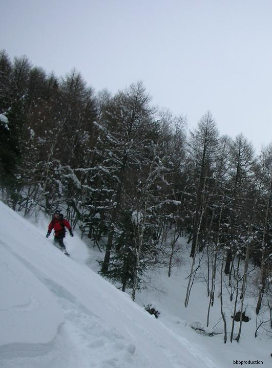
alternativa in mancanza di neve perchè si può scendere sulle piste innevate artificialmente
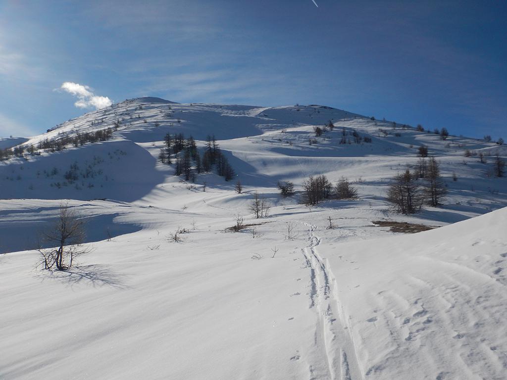
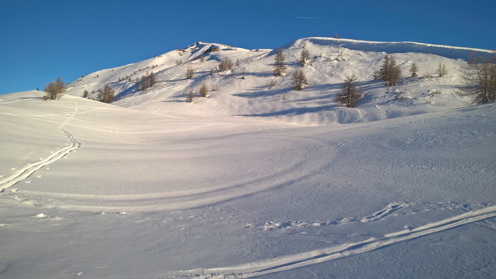
Avvicinamento
-
Descrizione
Da Sauze d’Oulx in località Prariond lasciare la macchina e dirigersi verso la località Tachier e poi verso Malafosse Alta.
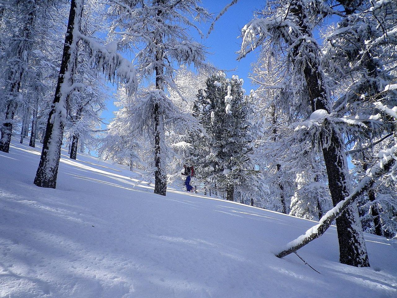
Prima di Malafosse abbandonare la strada piegando verso sinistra nei pressi del ponticello sul torrente. Seguire la conca del torrente stando alla sua sinistra.
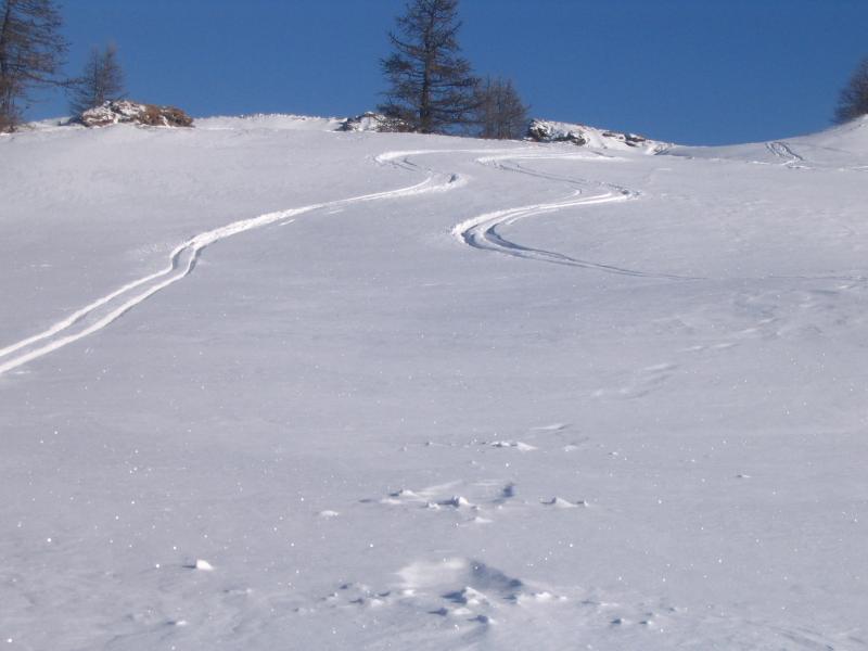
Raggiunta la chiesa della Broussailles continuare in cresta verso l’arrivo della seggiovia di Rocce Nere.
- Cartografia:
- valli di susa chisone e germanasca
Nelle vicinanze Mappa
Itinerari
13/12/2025 TO, Sauze d'Oulx D+ 880 m MS Ovest
Triplex (Monte) da Sauze d’Oulx
 50m
50m
04/01/2026 TO, Sauze d'Oulx D+ 857 m MS Nord-Ovest
Moncrons (Punta di) da Sauze d’Oulx
 1.1Km
1.1Km
24/01/2026 TO, Oulx D+ 804 m MS Nord-Ovest
Nera (Rocca) anticima NE 2404 m da Sauze d’Oulx per Pian della Rocca e Capanna Mollino
 1.1Km
1.1Km
09/02/2026 TO, Sauze d'Oulx D+ 995 m MS Ovest
Genevris (Monte) da Sauze d’Oulx
 1.1Km
1.1Km
22/11/2019 TO, Sauze d'Oulx D+ 680 m MS Ovest
Costa Piana (Colle di) da Sauze d’Oulx
 1.1Km
1.1Km
12/12/2019 TO, Sauze d'Oulx D+ 1119 m BS Nord
Triplex (Monte) da Jouvenceaux per il Vallone di Malafosse
1.2Km
13/02/2026 TO, Sauze d'Oulx D+ 1027 m BS Nord-Ovest
Genevris (Monte) da Gran Villard
 1.5Km
1.5Km
10/01/2016 TO, Oulx D+ 1115 m MS Nord-Ovest
Notre Dame de Broussailles (Cappella) da San Marco
 2.4Km
2.4Km
16/01/2010 TO, Oulx D+ 1529 m MS Nord-Ovest
Genevris (Monte) da Monfol, traversata a Salbertrand per il Col Blegier
 3.7Km
3.7Km
02/02/2025 TO, Oulx D+ 870 m MS Nord
Genevris (Monte) da Monfol
 3.7Km
3.7Km
Servizi
450m
550m
orto del frate Ristorante
Sauze d'Oulx
550m
paddy mc ginty Ristorante
Sauze d'Oulx
3.2Km
La Moretta Ristorante
Oulx
5Km
La Chardouse Rifugio
Oulx
6.3Km
Il Covo di nord ovest Ristorante
Salbertrand
6.8Km
Arlaud Rifugio
Salbertrand
7.5Km
La capanna del sole Ristorante
Pragelato
7.5Km
Al Mulino Ristorante
Pragelato
9.2Km