4.9Km
4.9Km
Avvicinamento
Storico
 1.8Km
2.1Km
2.5Km
4.1Km
4.1Km
4.1Km
4.1Km
4.1Km
4.1Km
4.1Km
1.8Km
2.1Km
2.5Km
4.1Km
4.1Km
4.1Km
4.1Km
4.1Km
4.1Km
4.1Km
Si può raggiungere il punto di partenza (il ponte sul Vallon des Houerts, posto a 2.5 km circa da La Barge sia da Cuneo che dal Monginevro. Da Cuneo si risale tutta la Valle Stura di Demonte con la statale SS21 per il Colle della Maddalena, passato il confine si scende a Larche e prosegue fino a Les Gleizolles seguendo la strada D900, qui si svolta a destra, seguendo le indicazioni per il Col de Vars e S. Paul sur Ubaye lungo la D902, raggiungendo S. Paul. Qui si prende la diramazione di destra D25 che porta verso Maljasset. Si superano i piccoli centri abitati della Petite e Grande Serenne, poi si trascura la deviazione di destra che sale a Fouillouse e si prosegue a sinistra, toccando ancora la piccola borgata di S. Antoine, si valica un primo ponte, e poi il secondo, dove si trova poco oltre un ampio spiazzo per parcheggiare le auto.
Lo stesso punto è raggiungibile anche dal Monginevro, passando per Briancon – Guillestre – Col de Vars e scendendo fino a S. Paul, dove si segue il tratto in comune fino al parcheggio sul ponte posto all’inizio del Vallon des Houerts.
Descrizione
Lo stesso punto è raggiungibile anche dal Monginevro, passando per Briancon – Guillestre – Col de Vars e scendendo fino a S. Paul, dove si segue il tratto in comune fino al parcheggio sul ponte posto all’inizio del Vallon des Houerts.
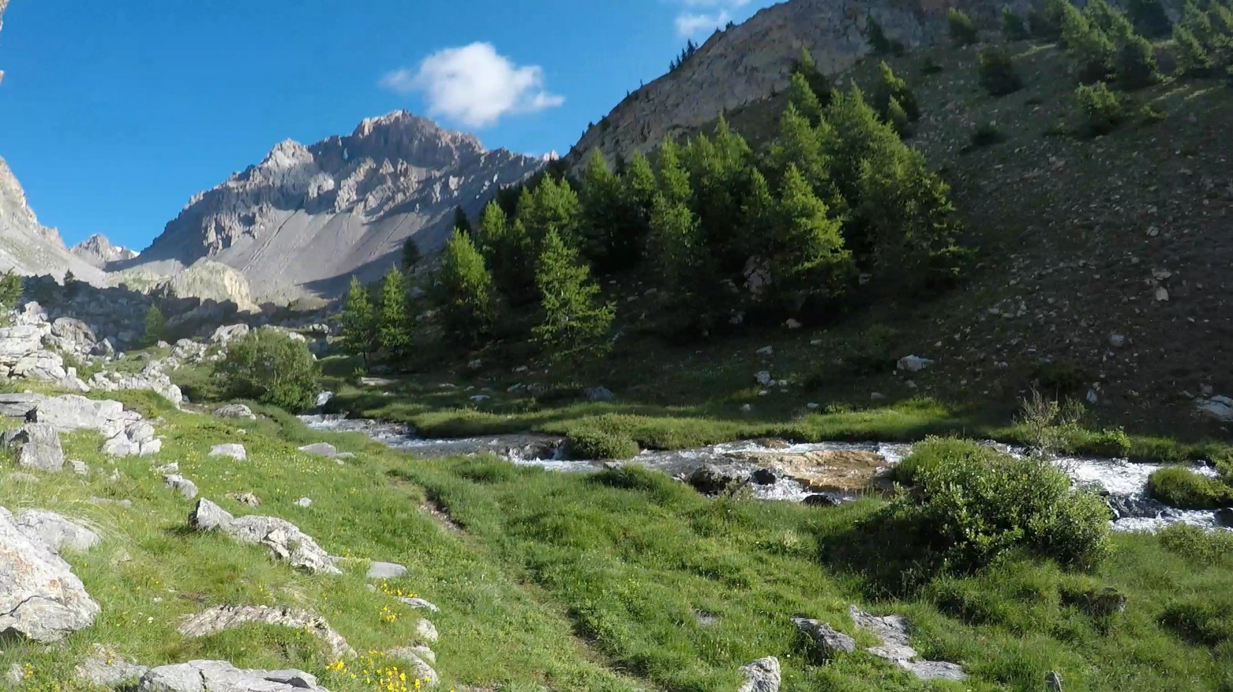
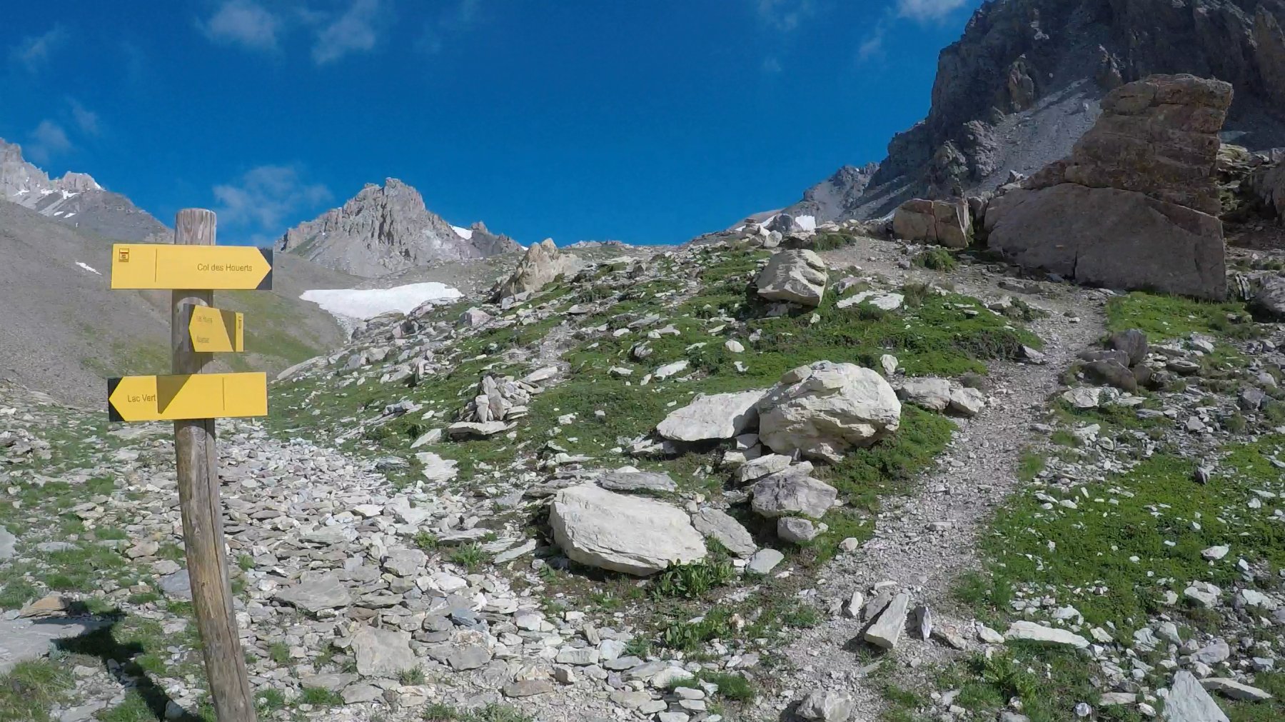
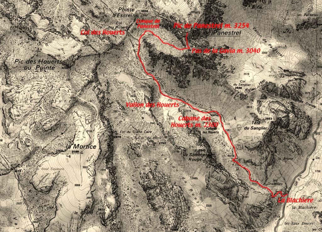
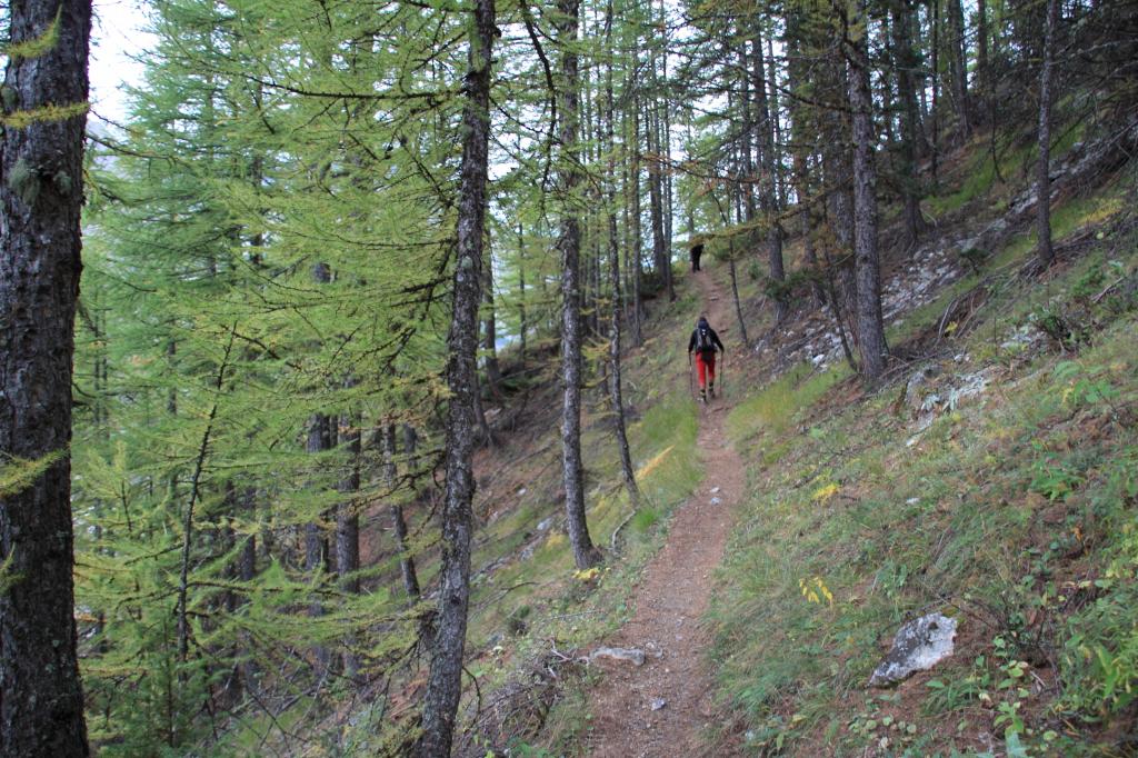
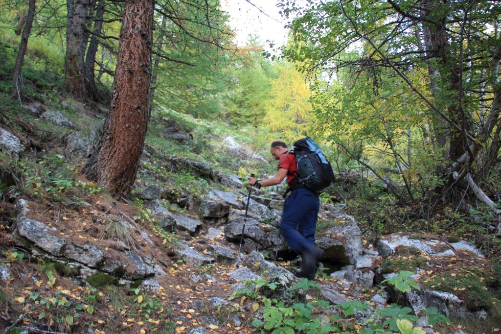
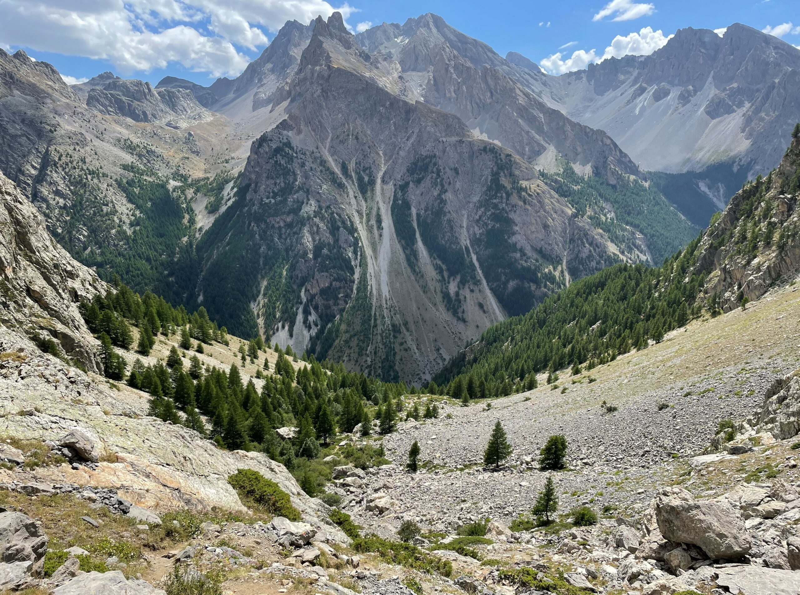
Dal parcheggio si ritorna brevemente indietro (verso S. Paul) fino al cartello indicatore in legno (indicazioni per il Col des Houerts). Il sentiero sale subito con una fitta serie di serpentine su terreno abbastanza ripido ma non malagevole, nel fitto bosco di larici.
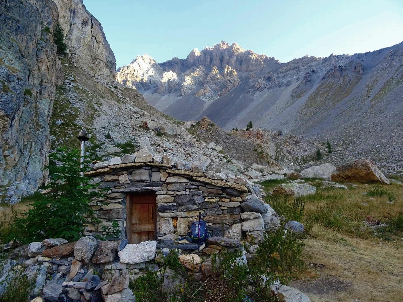
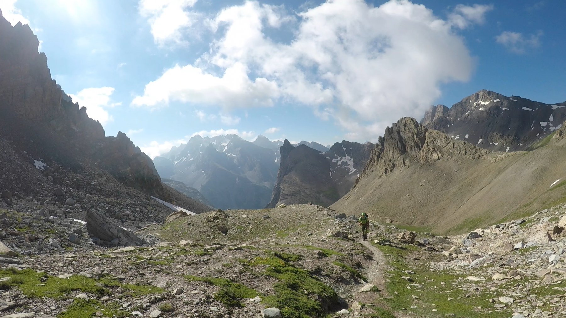
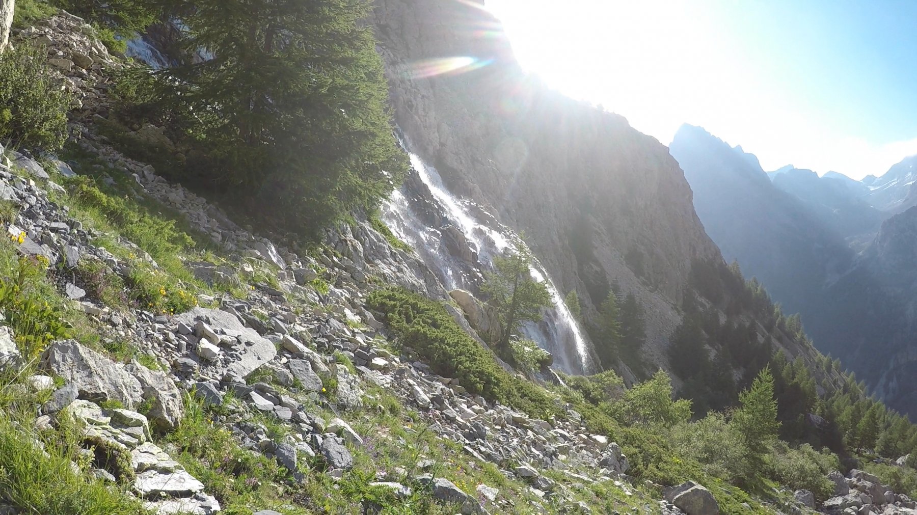
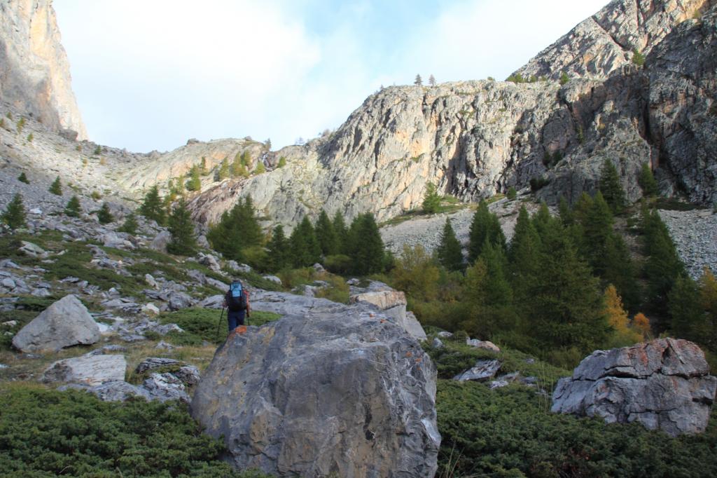
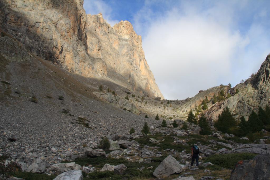
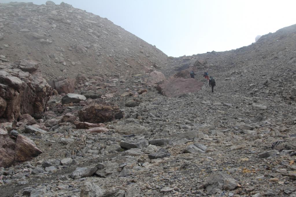
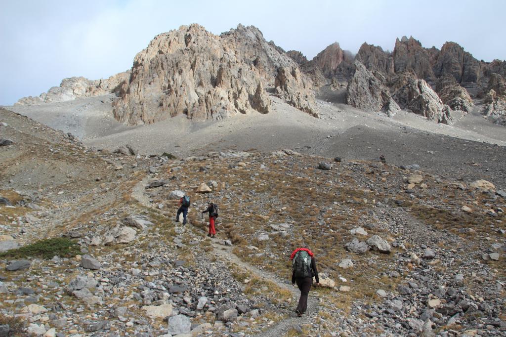
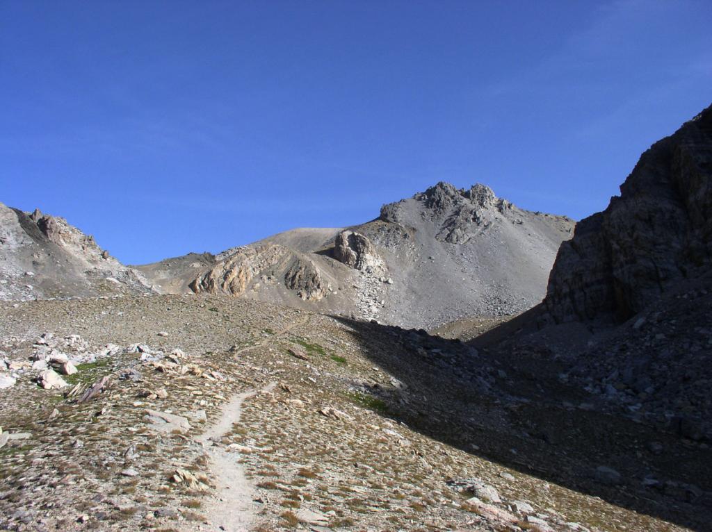
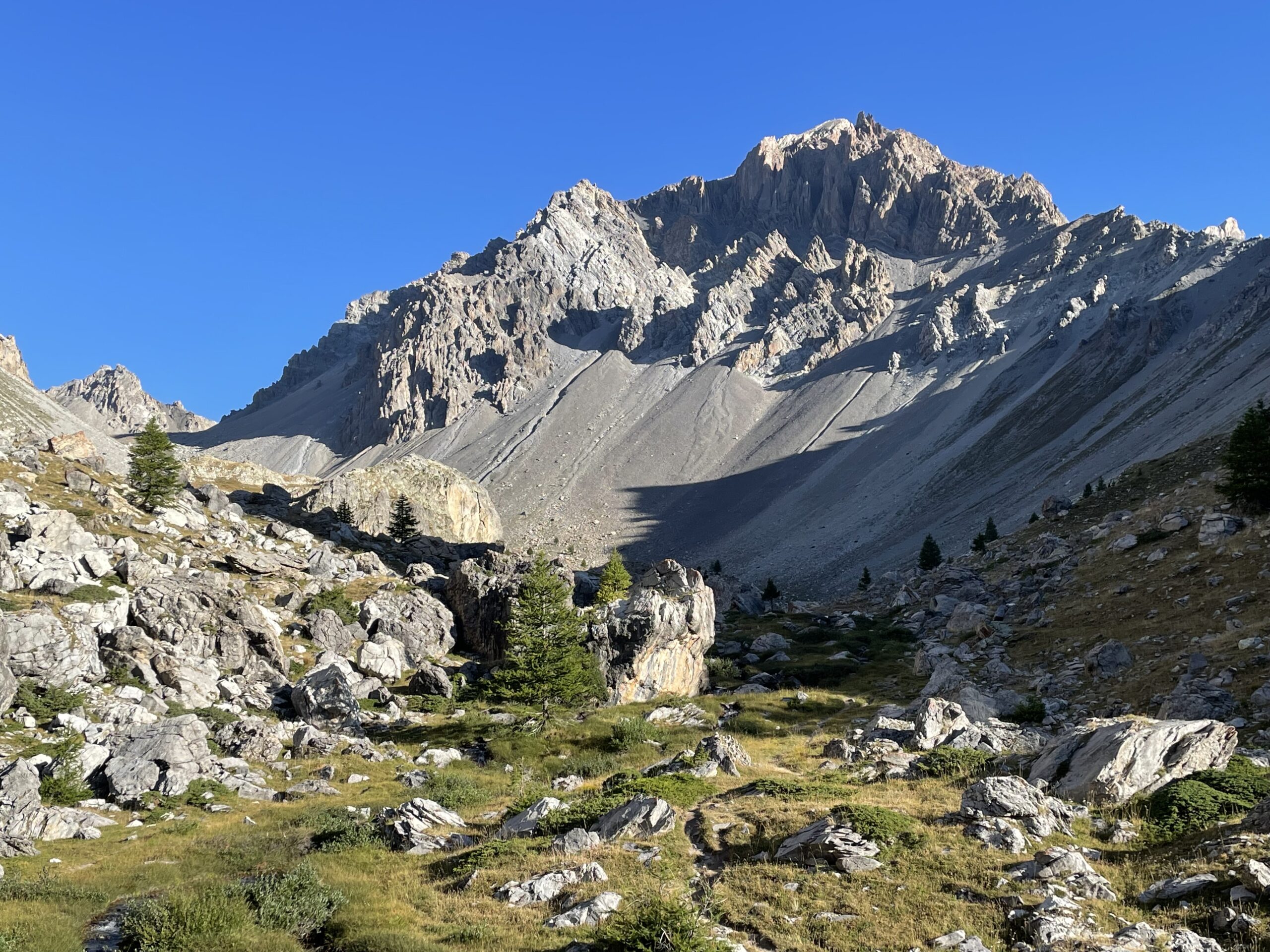
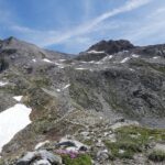
Il sentiero prende quota abbastanza rapidamente, salendo verso destra si esce dal bosco e si prosegue in un tratto cosparso da grossi pietroni e blocchi rocciosi, entrando in una conca a quota 2275 m. quasi pianeggiante posta tra le cime del Sommet Rouge (a sinistra) e la Tete du Sanglier (a destra). Il Vallon des Houerts ora diventa decisamente più ampio, Il sentiero prosegue verso destra, superando un breve pianoro erboso, qui si trova la breve deviazione che sulla sinistra conduce al piccolo ricovero, nota come Cabane de Houerts m. 2300. Superato il pianoro erboso si entra nella parte di vallone che è veramente “lunare”, grandi chine detritiche, dove però sale sempre il sentiero che rimane agevole (sempre segnalato da segnavia biancorossi e ometti).
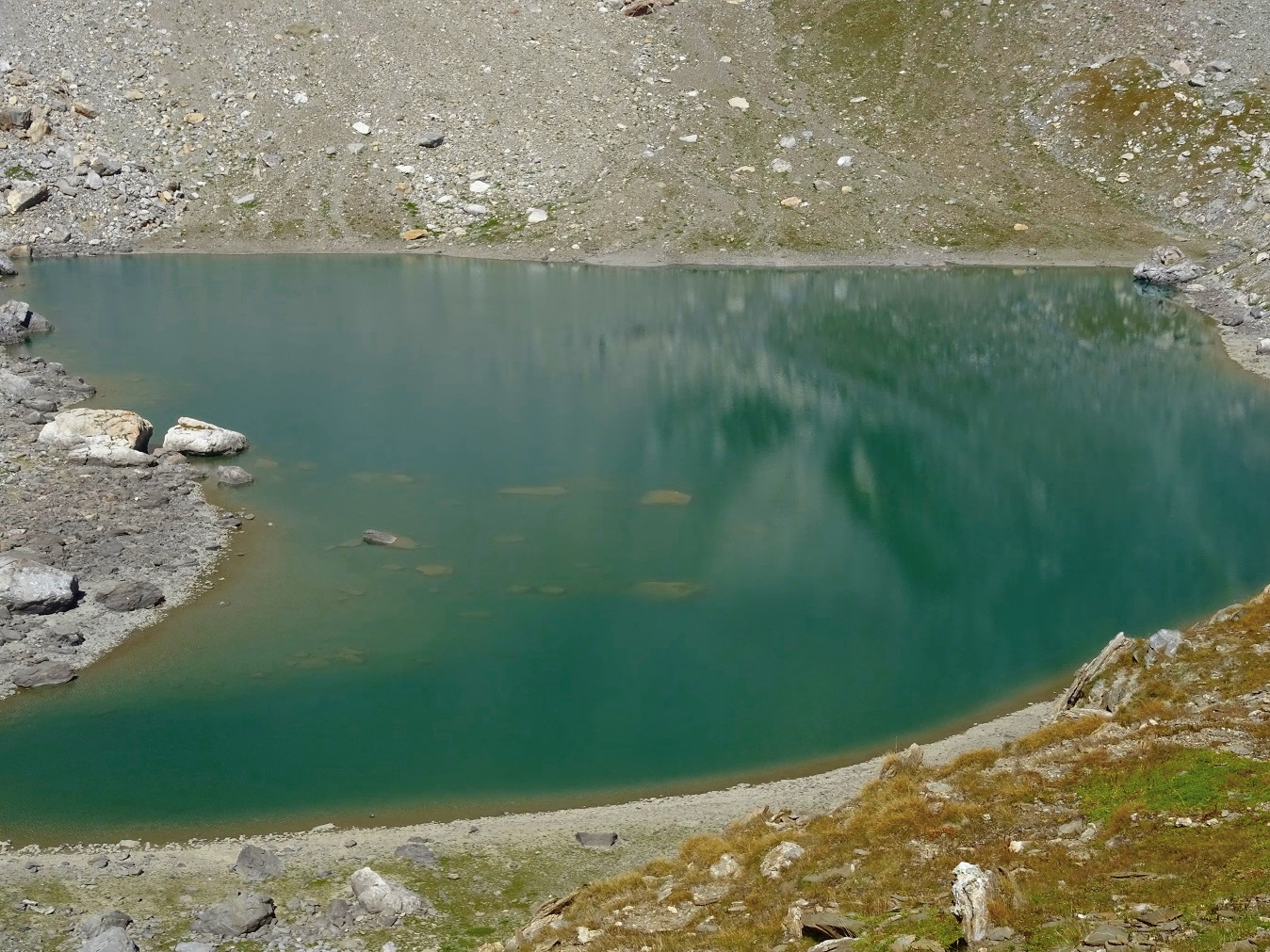
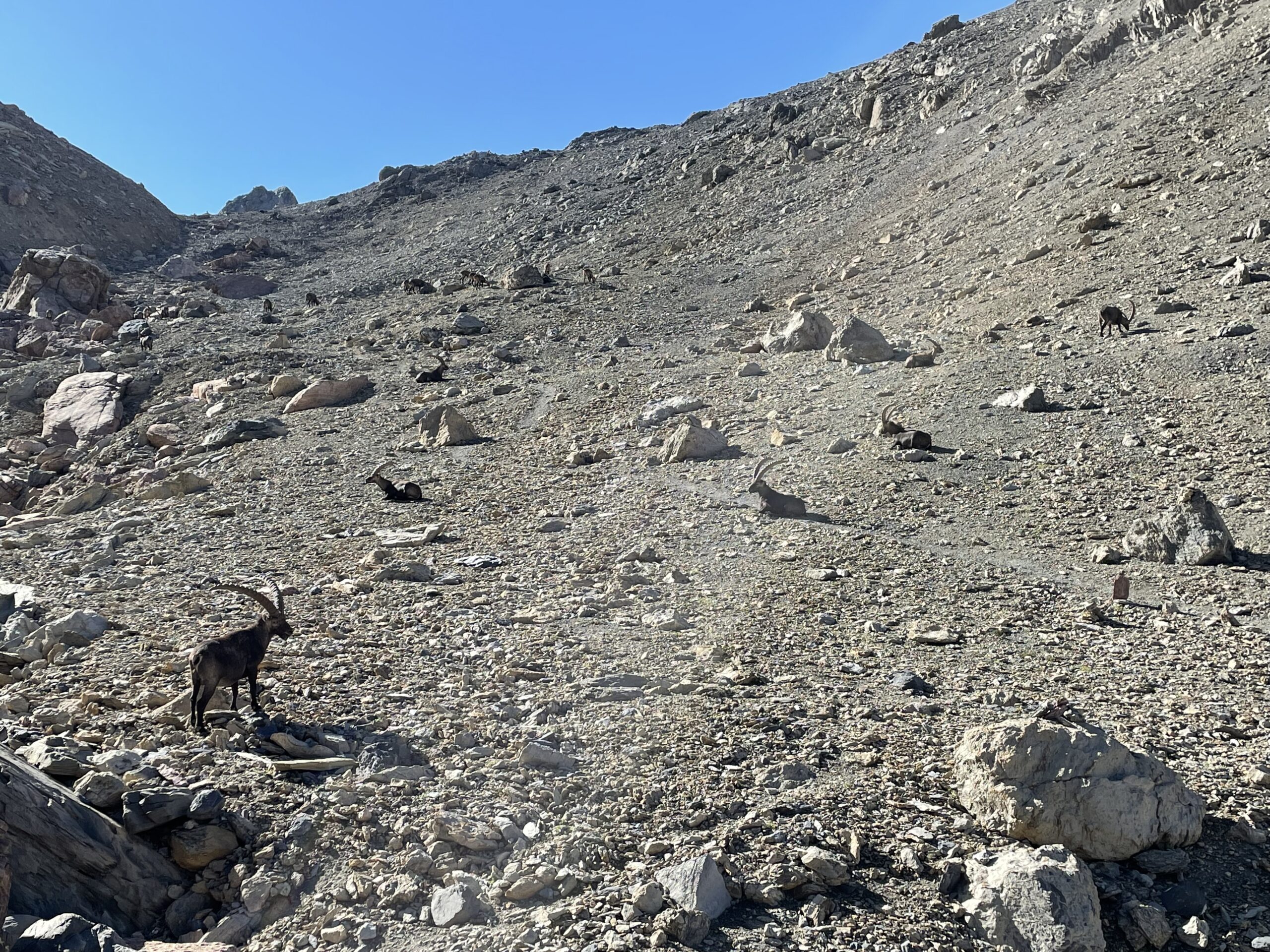
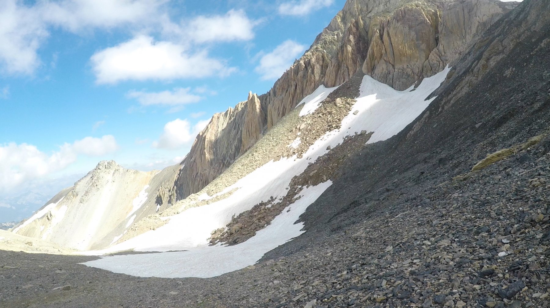
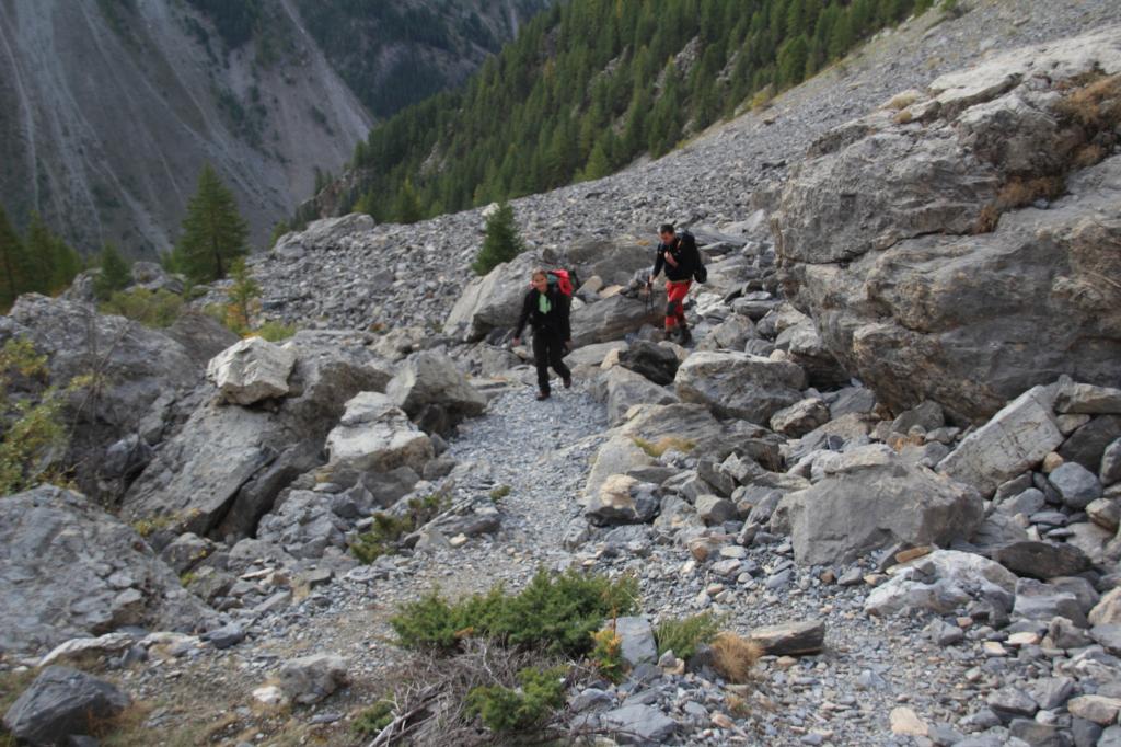
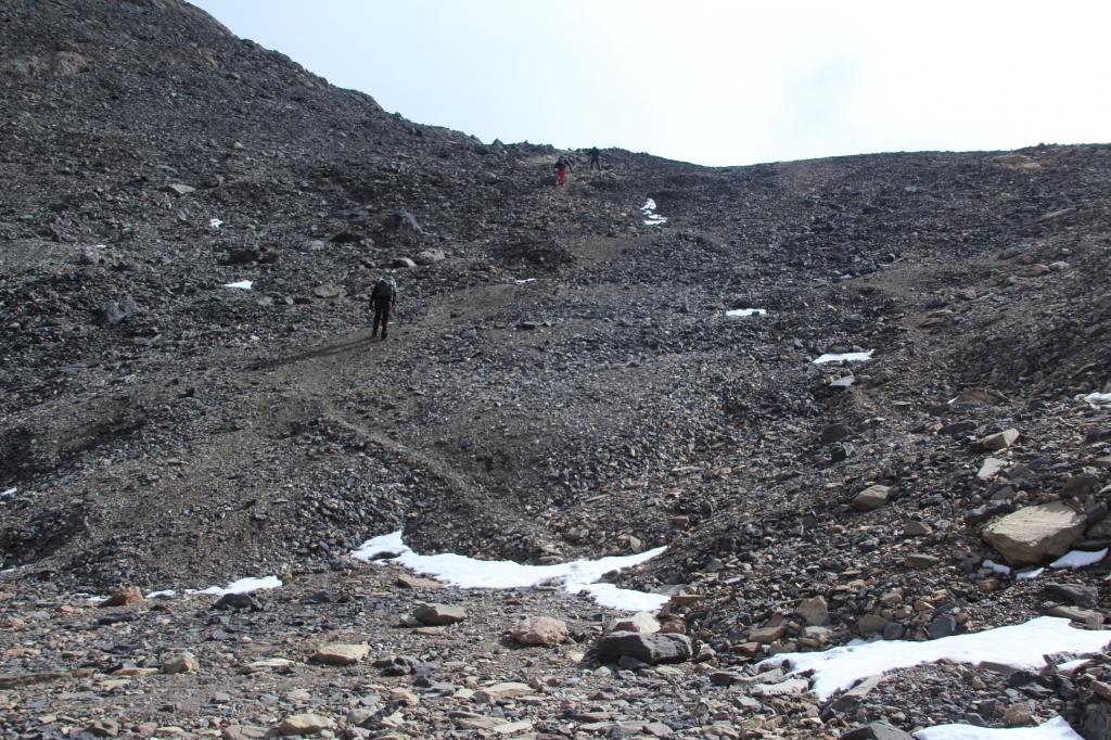
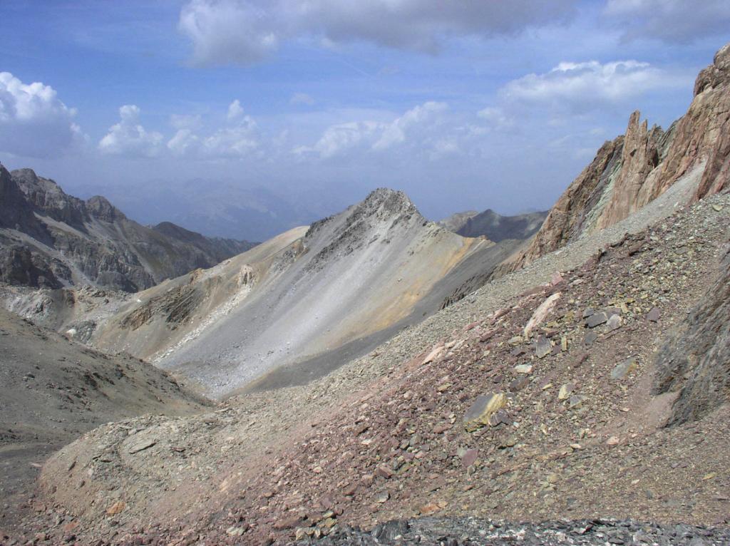
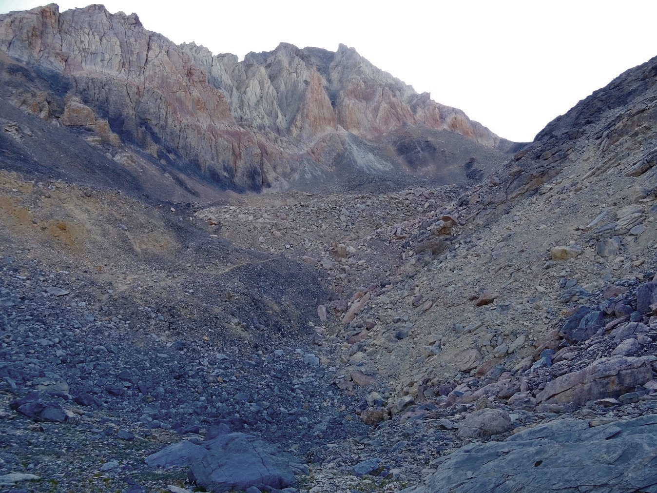
Segue una ripida rampa detritica che consente di prendere gradualmente quota, salendo sul lato destro del vallone, a quota 2650 m. si trascura un sentiero che si stacca sulla sinistra e porta ai Laghi Vert e Bleu e si risale la china detritica di destra puntando all’ampia conca sottostante il circo terminale che conduce al Col des Houerts. Raggiunto l’ampia conca, si tralascia il sentiero di sinistra che conduce al colle e si piega a destra su una traccia di sentiero (freccia di vernice rossa e ometto) che contorna uno sperone roccioso entrando nel vallone sospeso e nascosto, la Conque de Panestrel.
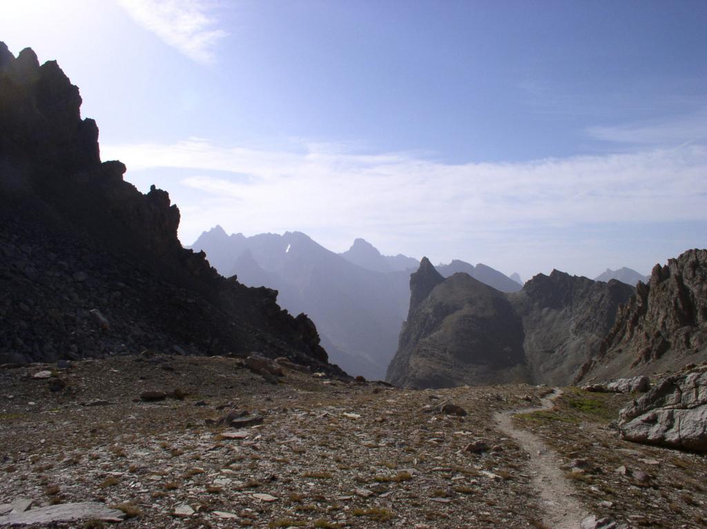
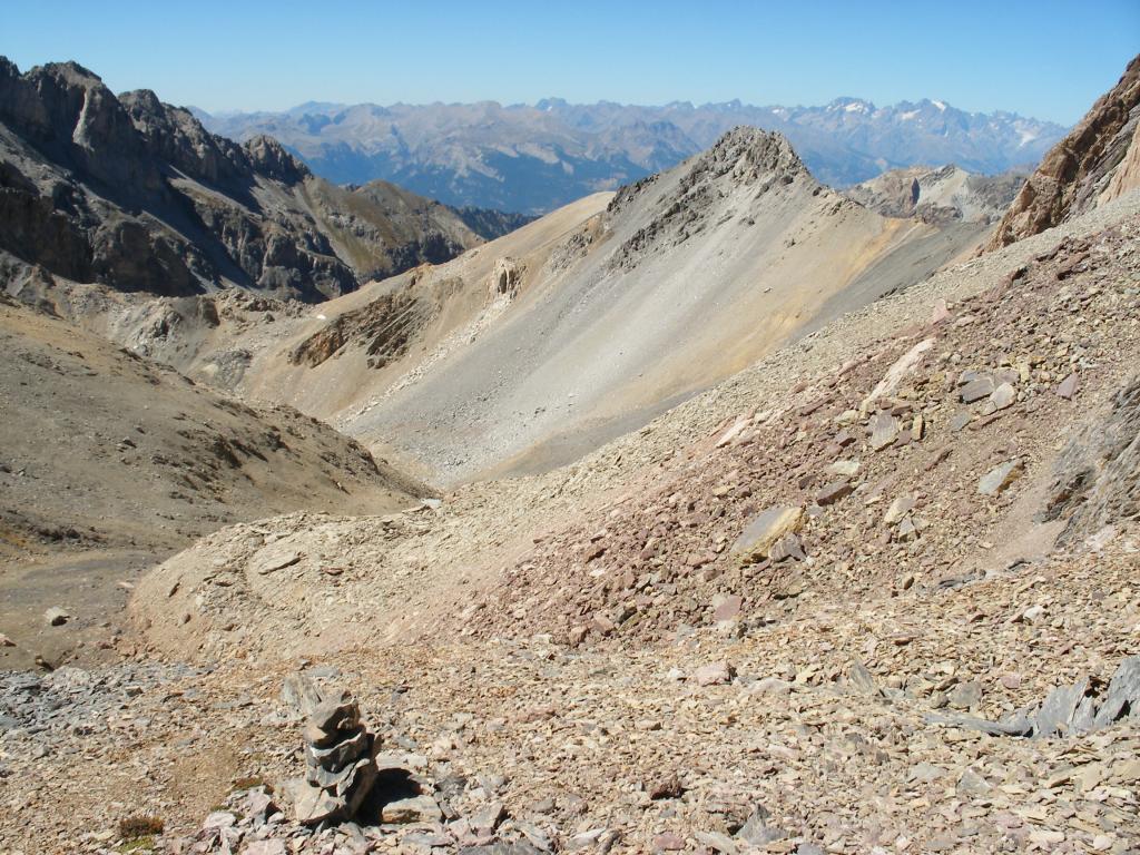
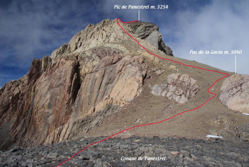
Si prosegue salendo lungo la traccia sempre ben individuabile, aiutati dai numerosi ometti si sale prima al centro del valloncello e poi verso destra puntando alla ben visibile e ampia sella di quota 3040 m. il Pas de la Gavia.
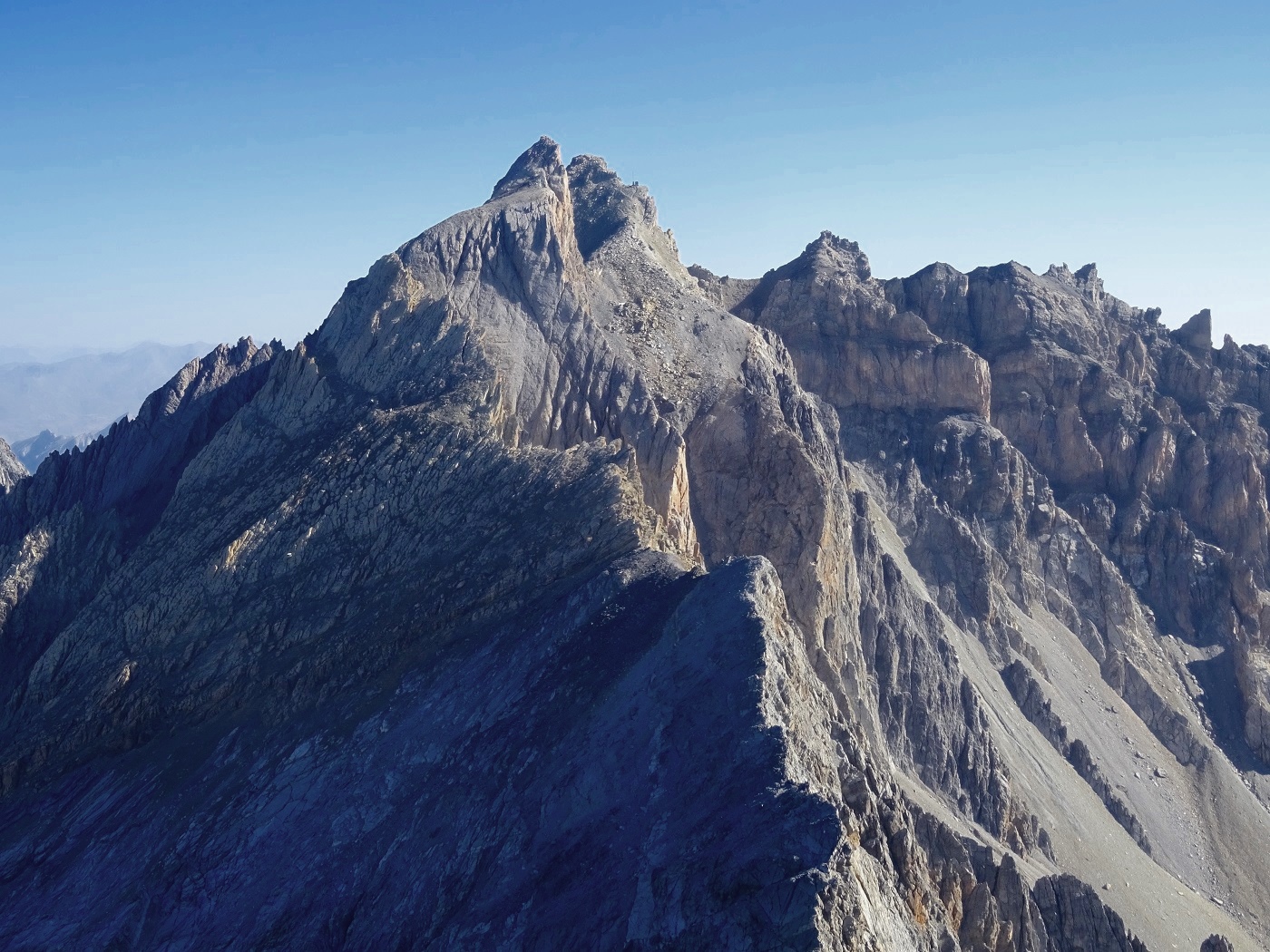
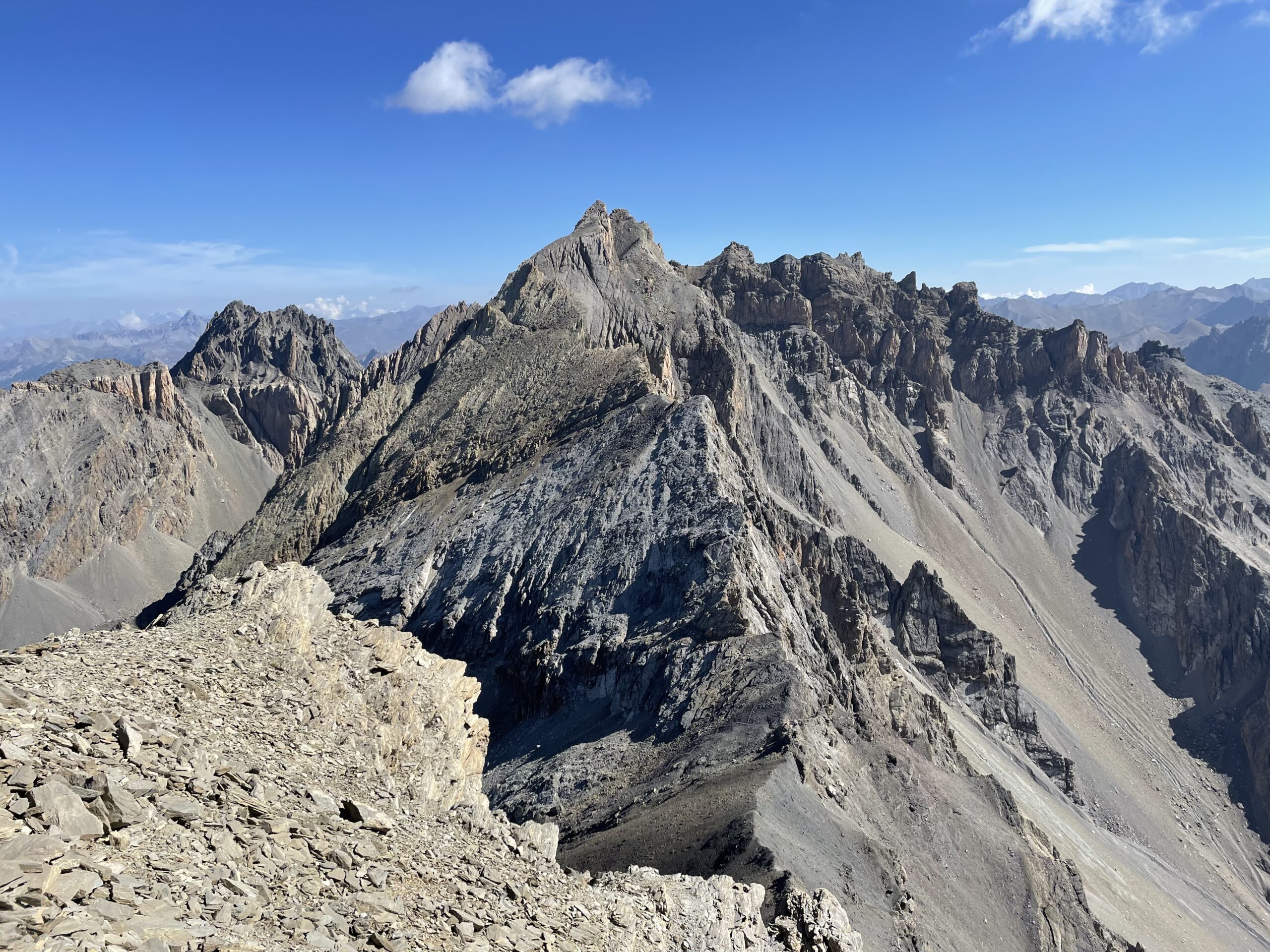
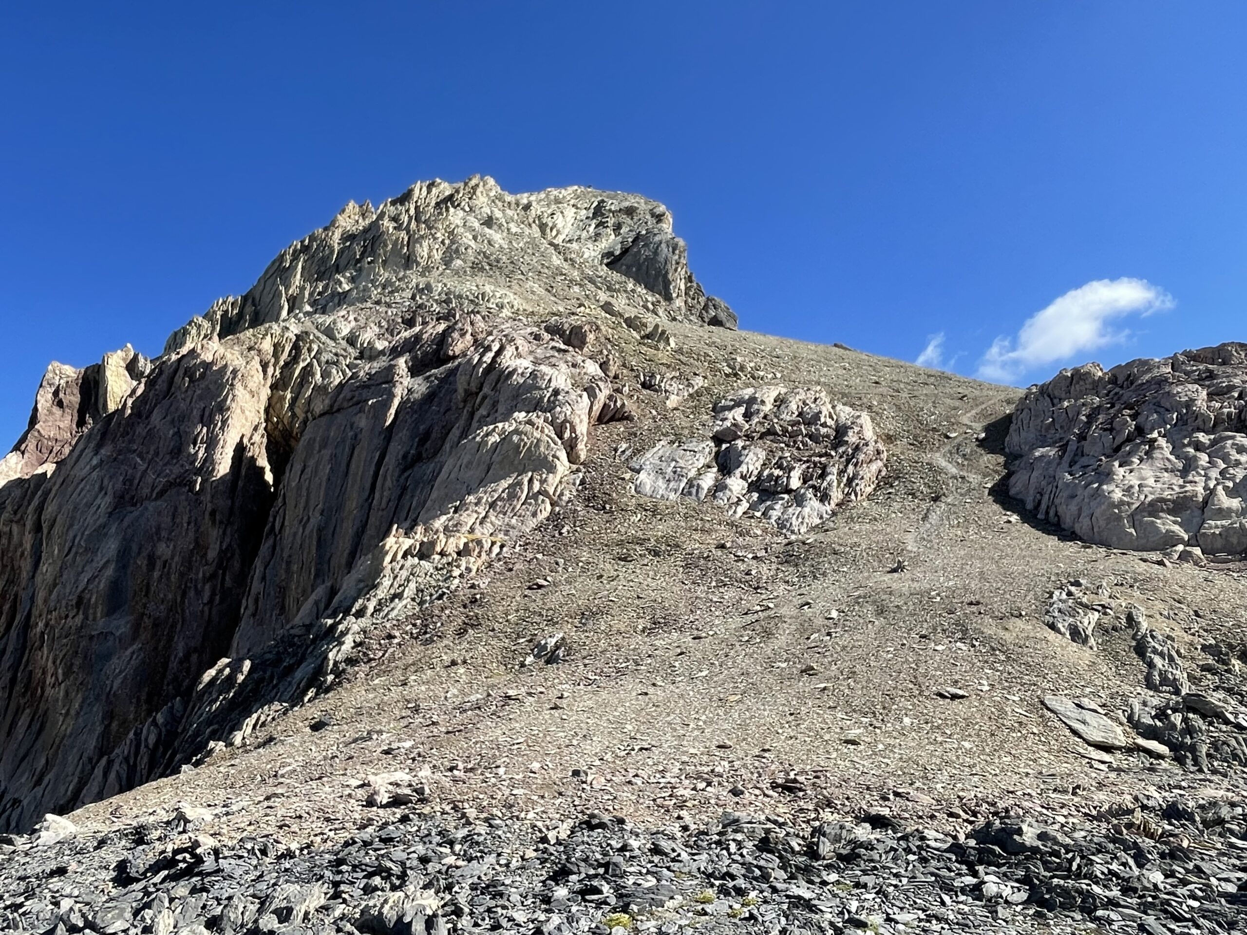
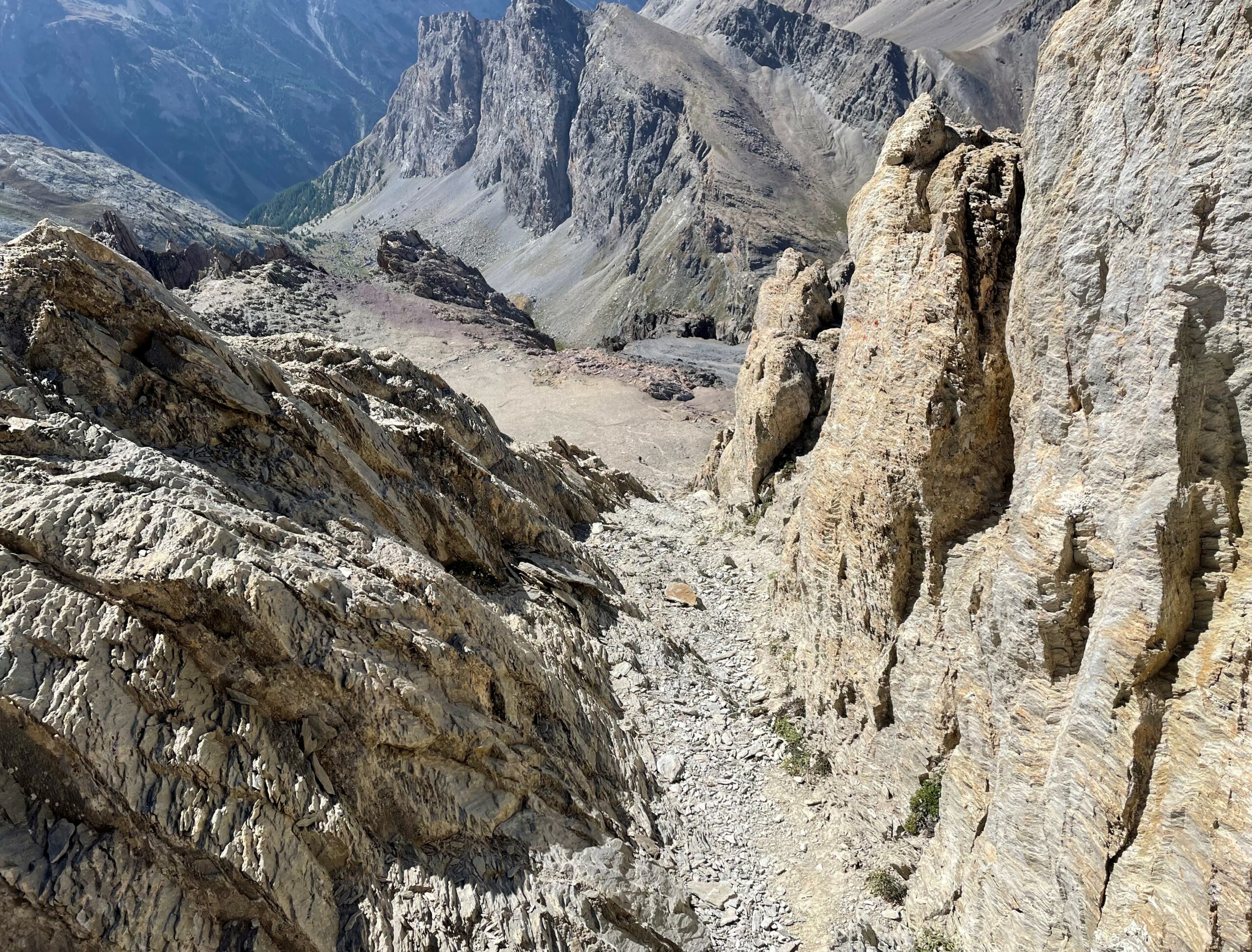
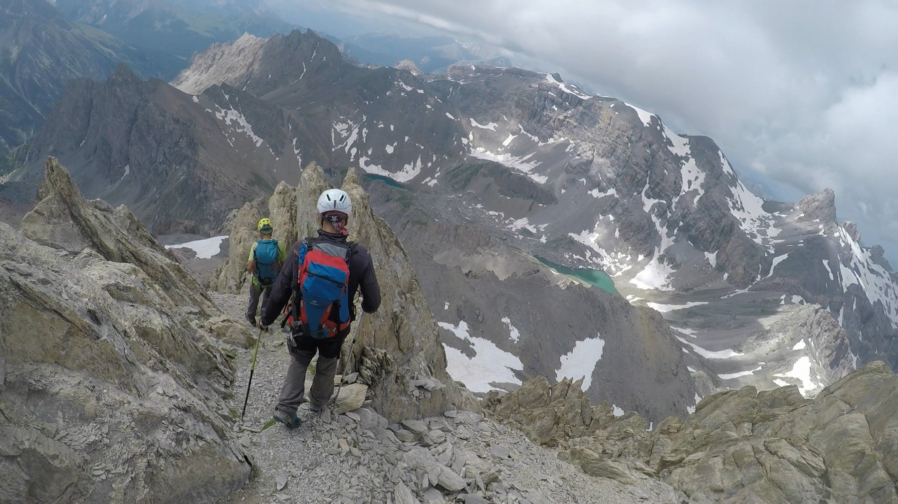
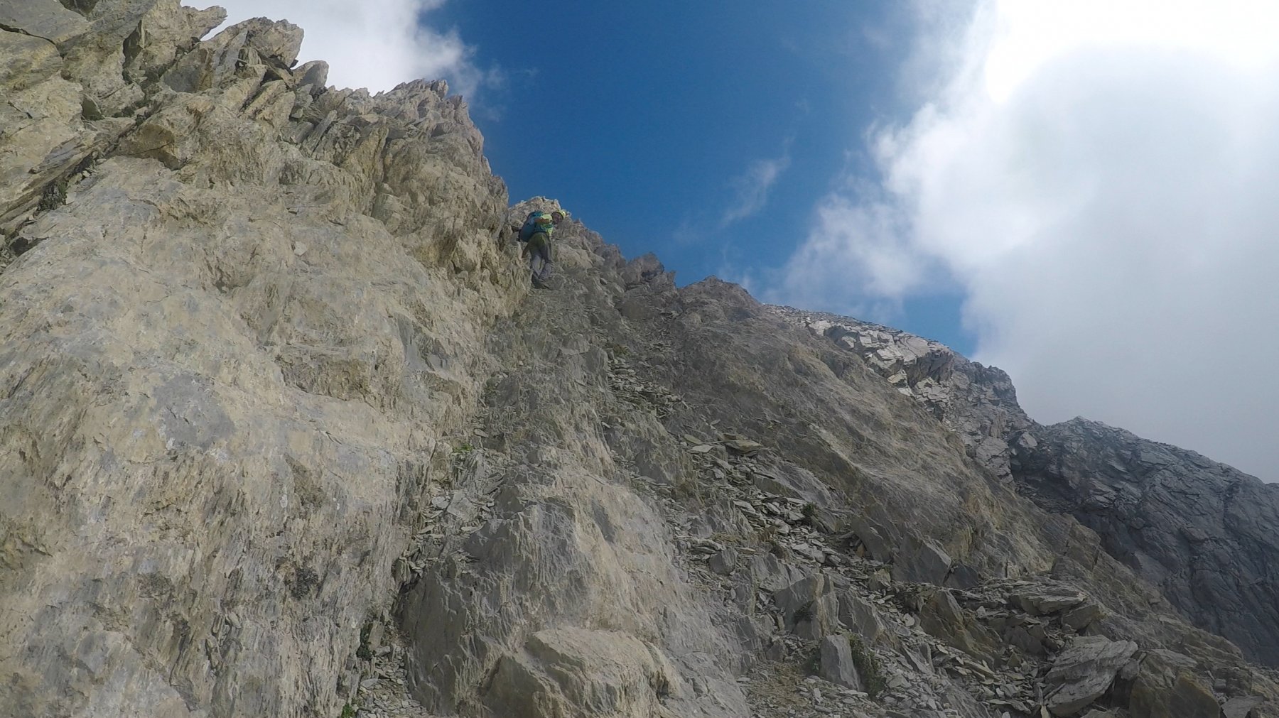
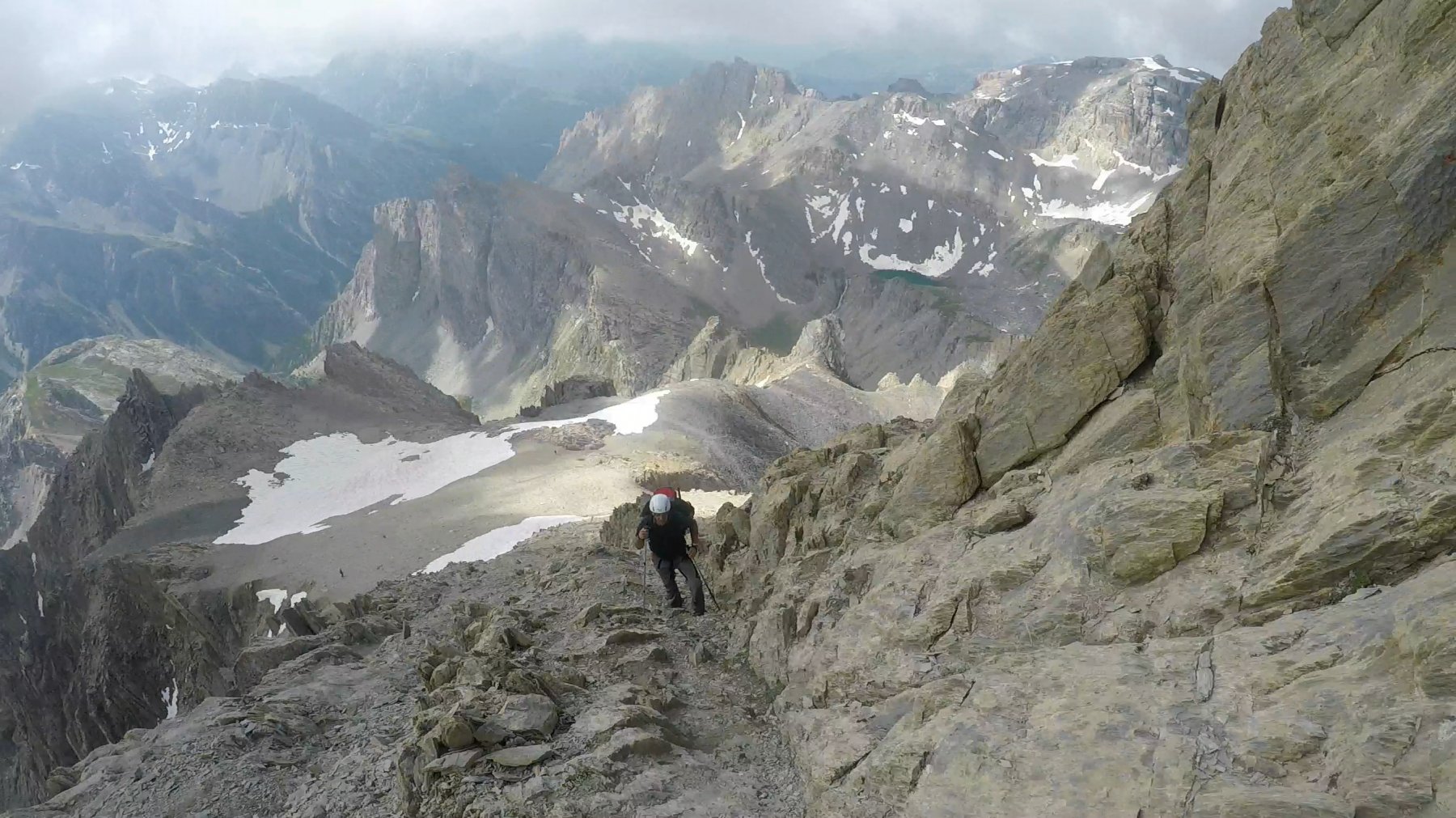
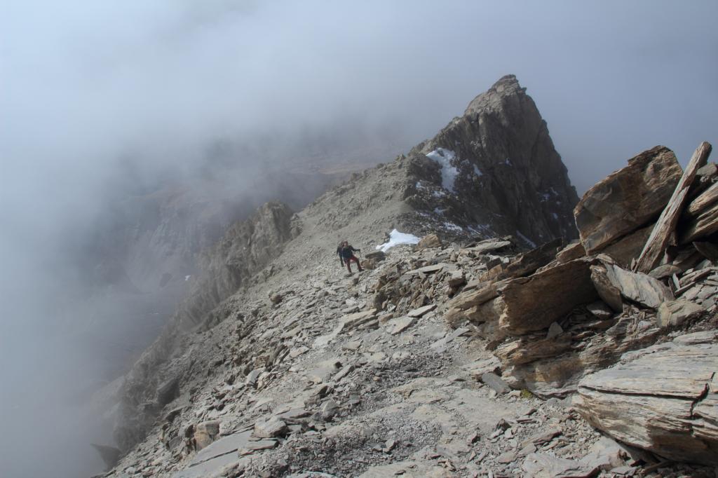
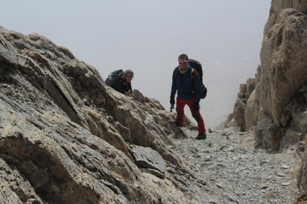
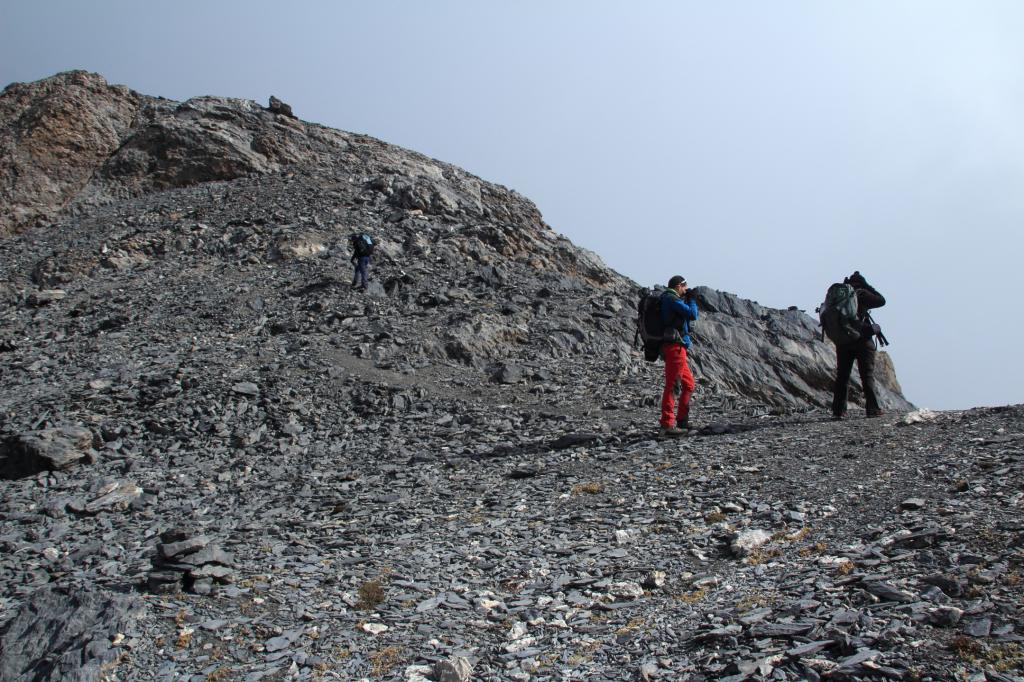
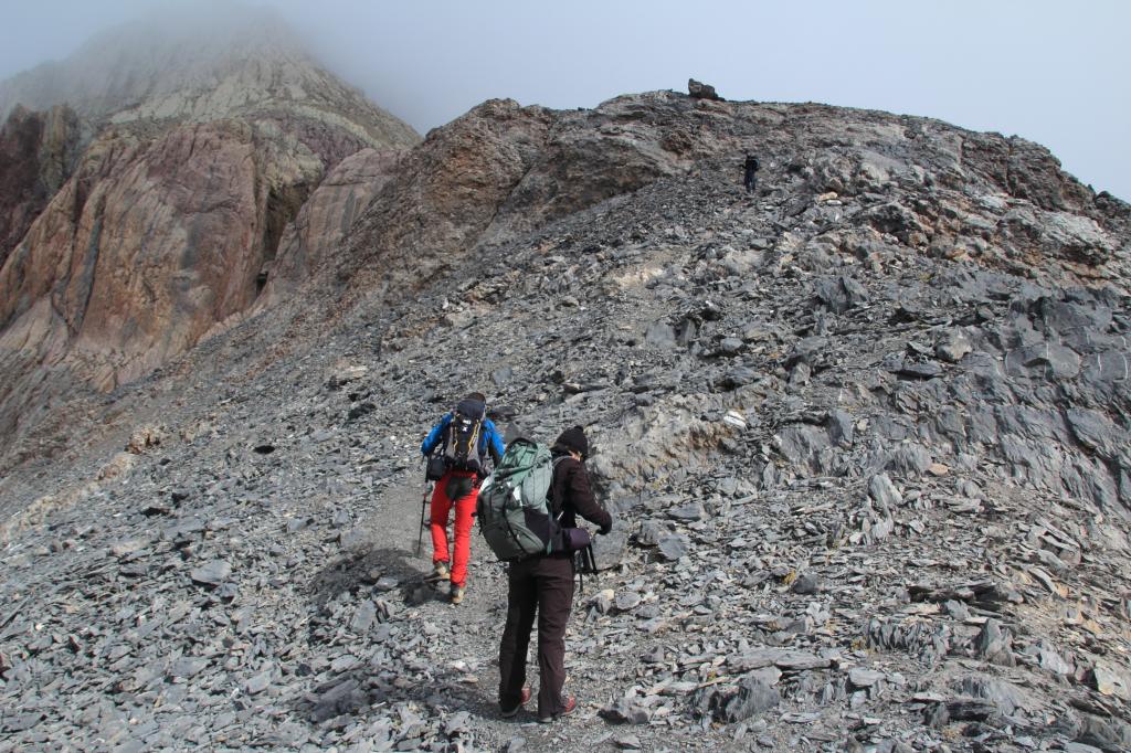
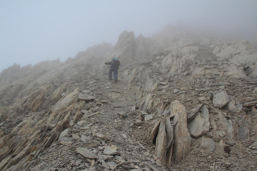
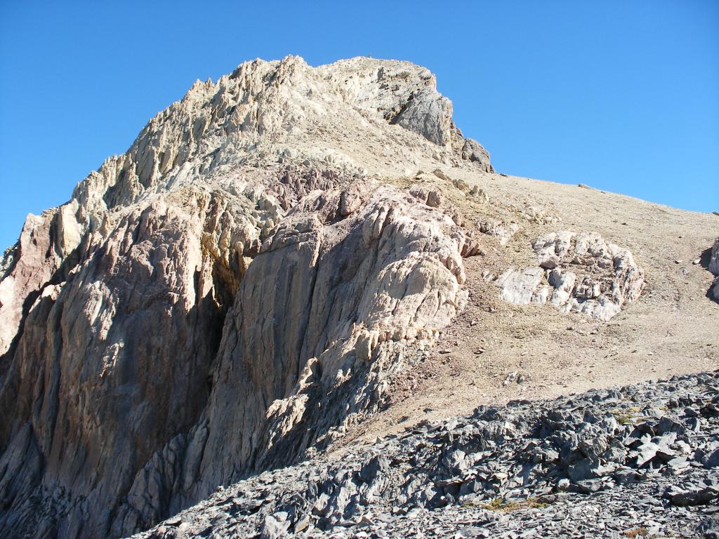
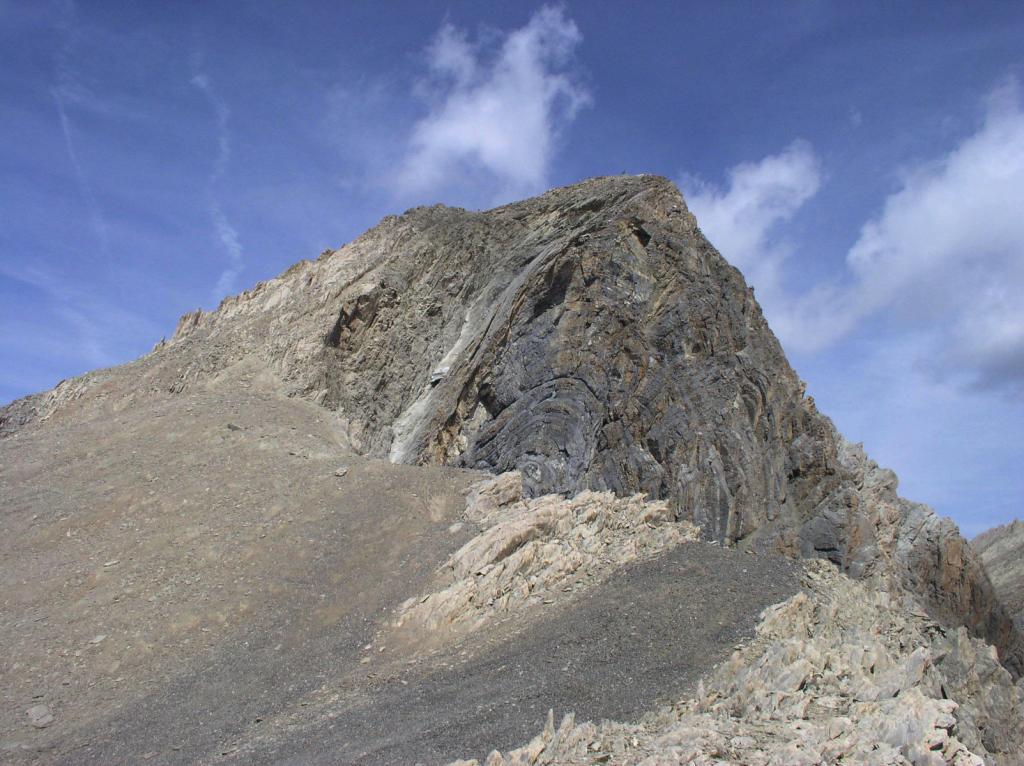
Dal passo si volge decisamente a sinistra salendo l’ampia cresta Sud, inizialmente agevole, si supera una prima breve fascia rocciosa e poi il terreno inizia a farsi più ripido arrivando sotto il tratto terminale della cresta. Qui si trovano due canalini posti tra nervature e costoni rocciosi, si sale preferibilmente per il canalino di sinistra, ripido e abbastanza stretto, ma con buone prese per le mani (quello di destra è molto più sfasciato, faticoso ed esposto verso la parete che scende sul versante rivolto verso Maljasset).
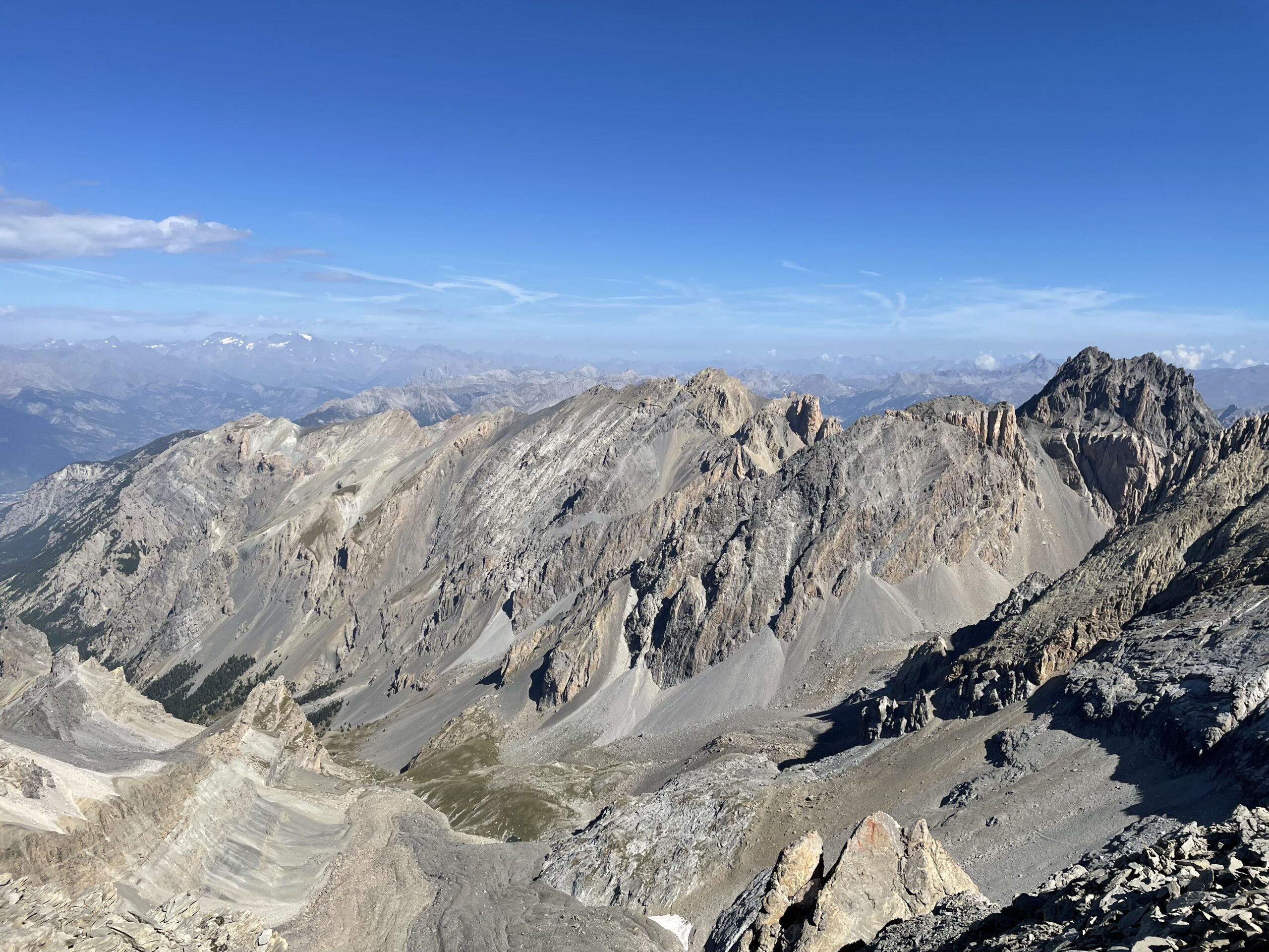
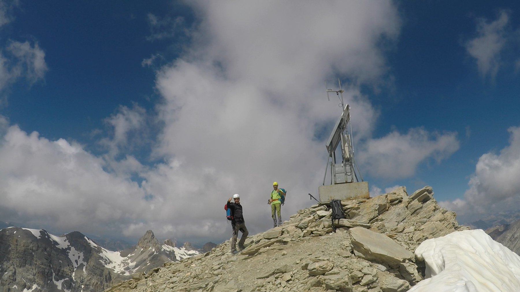
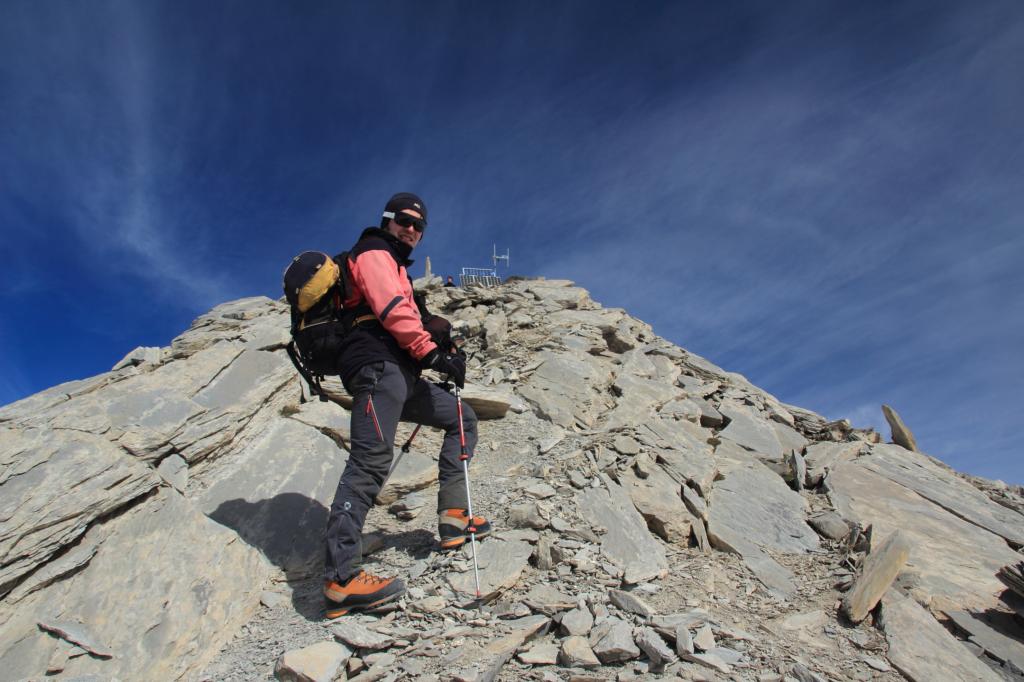
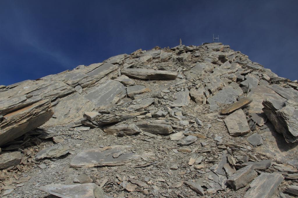
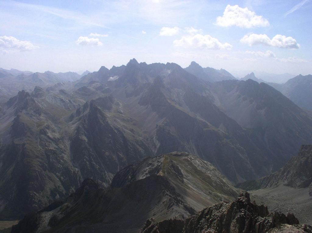
Superati alcuni facili passaggi su roccette, si sbuca ad un piccolo colletto sotto la cima, ben visibile da questo punto. Seguendo una traccia di sentiero che sale la cresta di facili rocce rotte si raggiunge l’orribile ripetitore del soccorso alpino posto sulla cima.
In discesa non rimane che seguire a ritroso lo stesso itinerario percorso in salita.
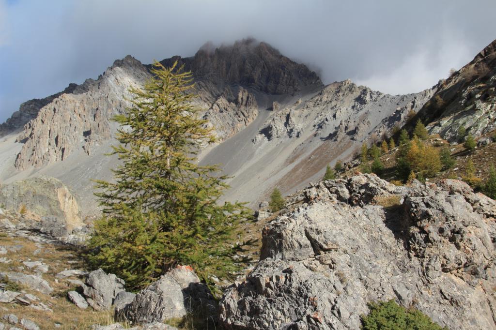
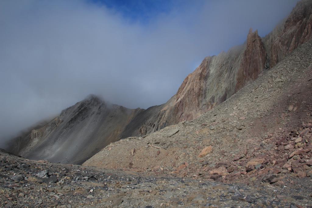
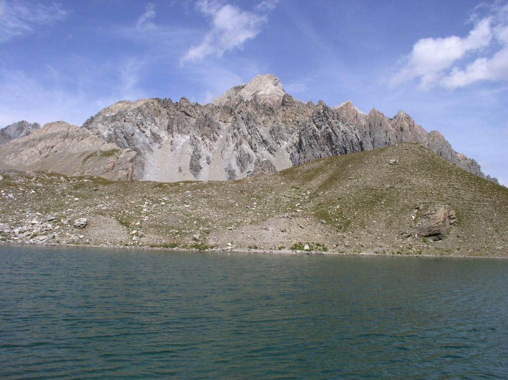
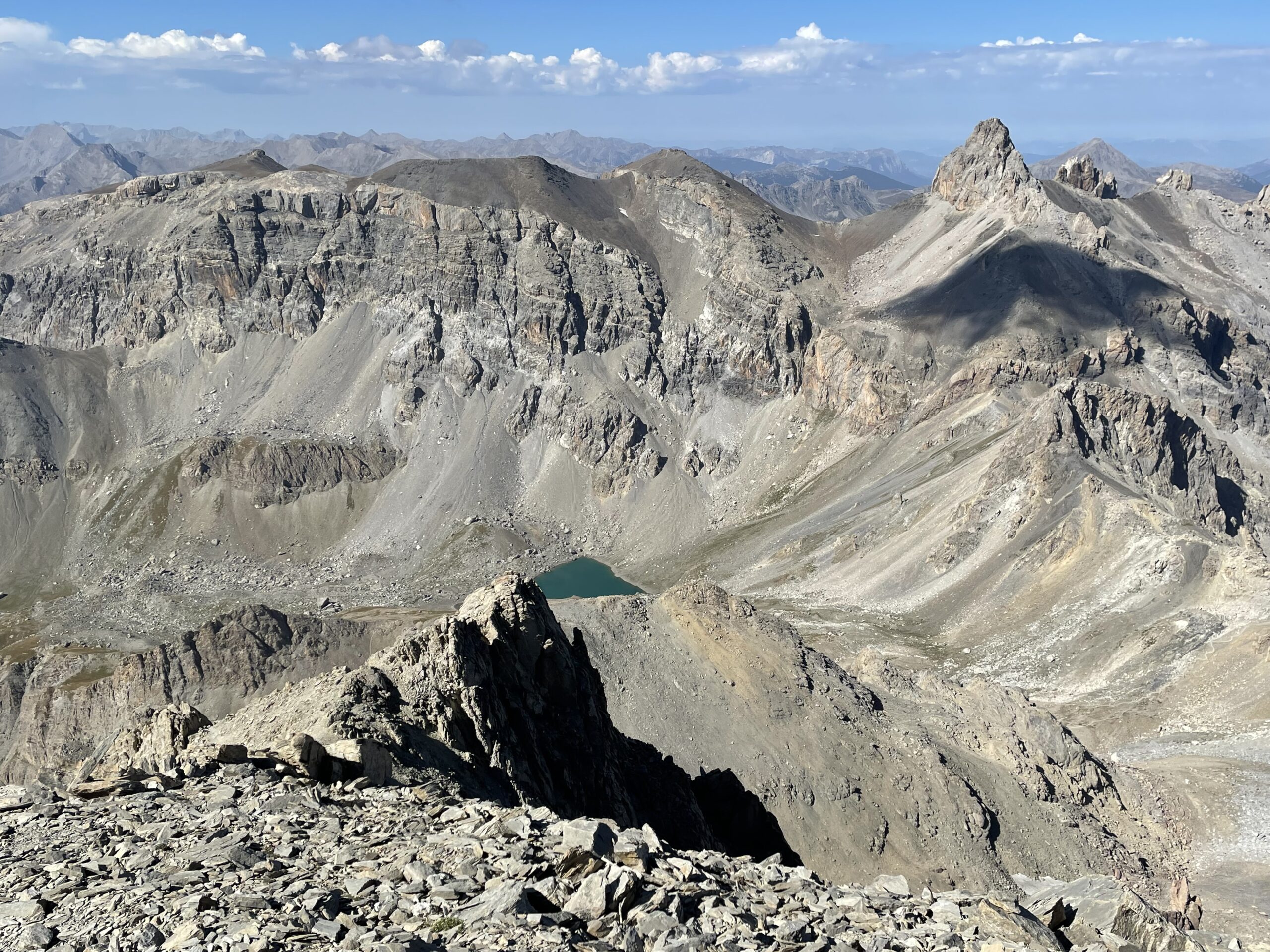
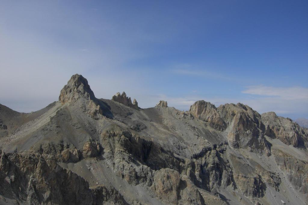
suggestivo ed incantevole contesto ambientale dove si svolge la salita, soprattutto la parte finale, la Conque de Panestrel (il vallone nascosto) con rocce multicolori, torrioni, guglie, pinnacoli con colori e forme spettacolari !
Una montagna nota già nella fine dell’Ottocento, ha un primo salitore decisamente noto, il “solito” reverendo W.A.B Coolidge che Sali questa cima nel 1898, per la compilazione di una monografia alpinistica dedicata proprio alla Valle Ubaye, fu lui ad assegnarle il nome “Le Grand Pic rocheux de Panestrel” diventato poi in forma accorciata “Pic de Panestrel” nella cartografia e letteratura alpinistica locale.
Una montagna nota già nella fine dell’Ottocento, ha un primo salitore decisamente noto, il “solito” reverendo W.A.B Coolidge che Sali questa cima nel 1898, per la compilazione di una monografia alpinistica dedicata proprio alla Valle Ubaye, fu lui ad assegnarle il nome “Le Grand Pic rocheux de Panestrel” diventato poi in forma accorciata “Pic de Panestrel” nella cartografia e letteratura alpinistica locale.
- Cartografia:
- IGN 3537 ET - Guillestre, Vars, Risoul - scala 1:25000
Nelle vicinanze Mappa
Itinerari
29/08/2007 Alpes-de-Haute-Provence, Saint-Paul-sur-Ubaye D+ 1668 m EE/F Varie
Aval (Pointe d’) o Pointe de Chauvet da le Pont Vouté
 1.8Km
1.8Km
28/08/2012 Alpes-de-Haute-Provence, Saint-Paul-sur-Ubaye D+ 1308 m E Varie
Escreins (Pointe d’) da la Bianchiere
 2.1Km
2.1Km
29/08/2012 Alpes-de-Haute-Provence, Saint-Paul-sur-Ubaye D+ 1200 m EE Tutte
Miejour (Téte de) e Aiguille Large da la Barge, anello
 2.5Km
2.5Km
20/08/2024 Alpes-de-Haute-Provence, Saint-Paul-sur-Ubaye D+ 1437 m EE Sud-Ovest
Mongioia (Monte) o Bric de Rubren da Maljasset
 4.1Km
4.1Km
27/08/2012 Alpes-de-Haute-Provence, Saint-Paul-sur-Ubaye D+ 1252 m EE Varie
Pelvo di Ciabrera da Maljasset
 4.1Km
4.1Km
12/08/2024 Alpes-de-Haute-Provence, Saint-Paul-sur-Ubaye D+ 1216 m EE Nord-Ovest
Basse de Mary (Pointe) da Maljasset
 4.1Km
4.1Km
24/09/2023 Alpes-de-Haute-Provence, Saint-Paul-sur-Ubaye D+ 1250 m EE Ovest
Cornascle (Pointe de) da Maljasset
 4.1Km
4.1Km
19/06/2011 Alpes-de-Haute-Provence, Saint-Paul-sur-Ubaye D+ 1000 m EE Nord-Ovest
Marinet (Col de) da Maljasset, anello dei laghi del Marinet e du Roure
 4.1Km
4.1Km
10/07/2022 Alpes-de-Haute-Provence, Saint-Paul-sur-Ubaye D+ 973 m EE Varie
Gavie (Tete de la) da Maljasset
 4.1Km
4.1Km
07/06/2026 Alpes-de-Haute-Provence, Saint-Paul-sur-Ubaye D+ 1100 m E Varie
Eissassa (Rocher de l’), cima sud da Maljasset
 4.1Km
4.1Km