3.3Km
3.3Km

Note
 50m
50m
50m
550m
1.8Km
1.8Km
1.8Km
1.8Km
2.3Km
50m
50m
50m
550m
1.8Km
1.8Km
1.8Km
1.8Km
2.3Km
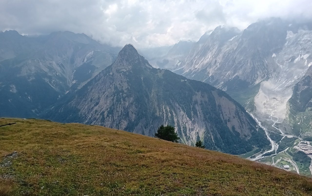
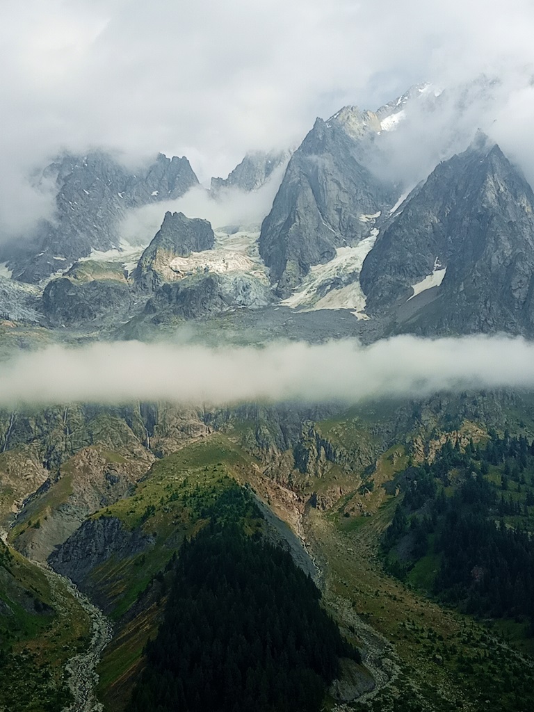
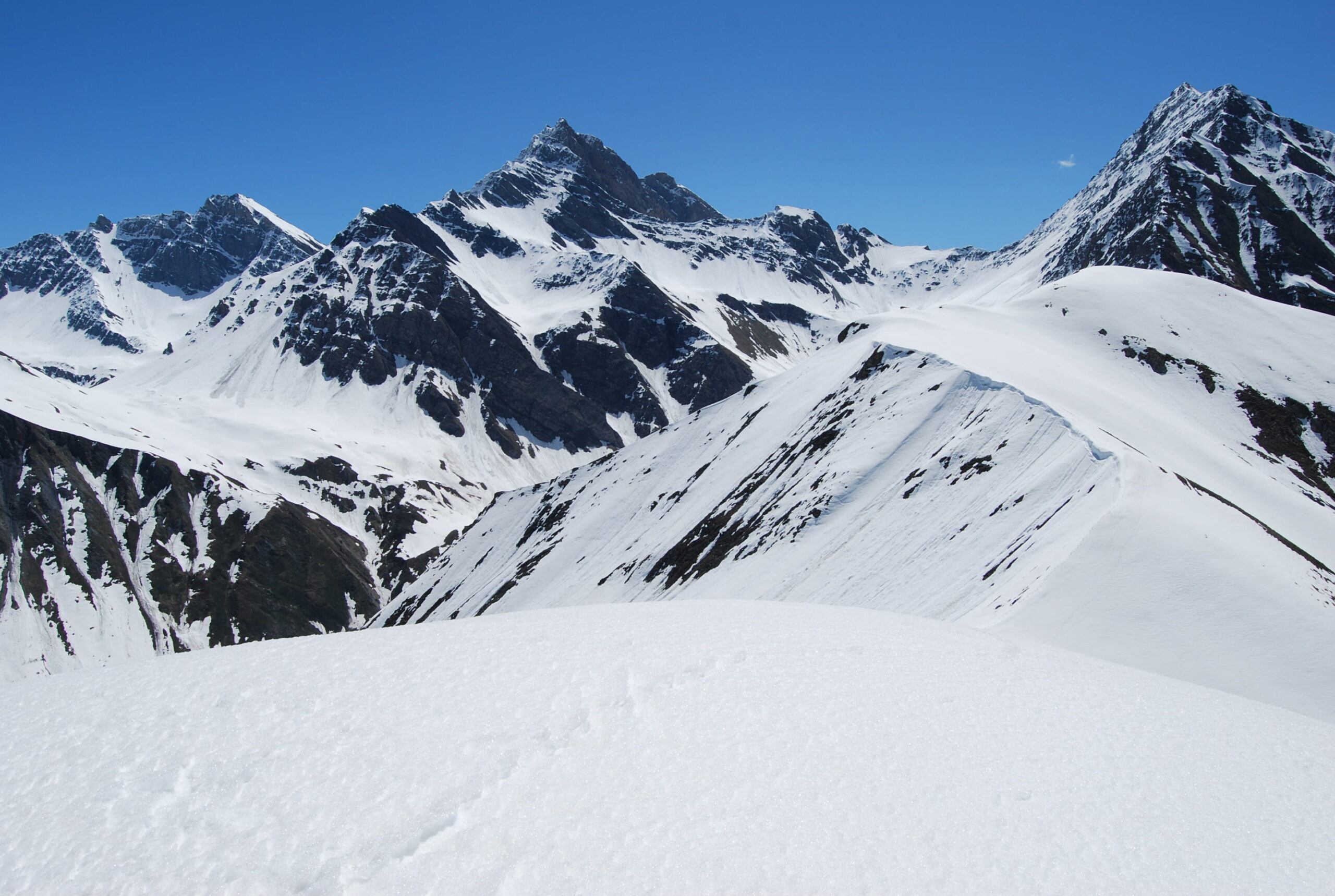
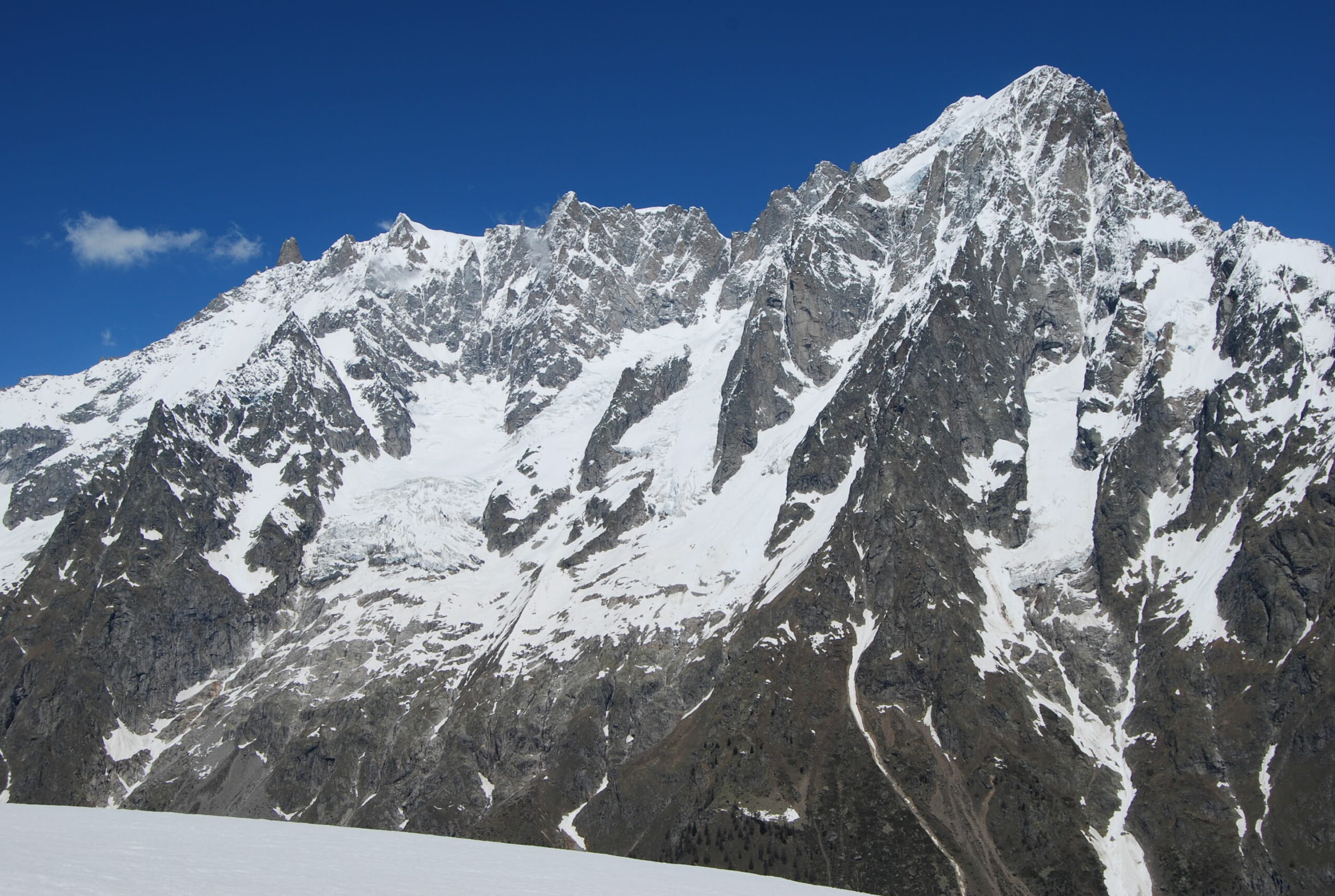
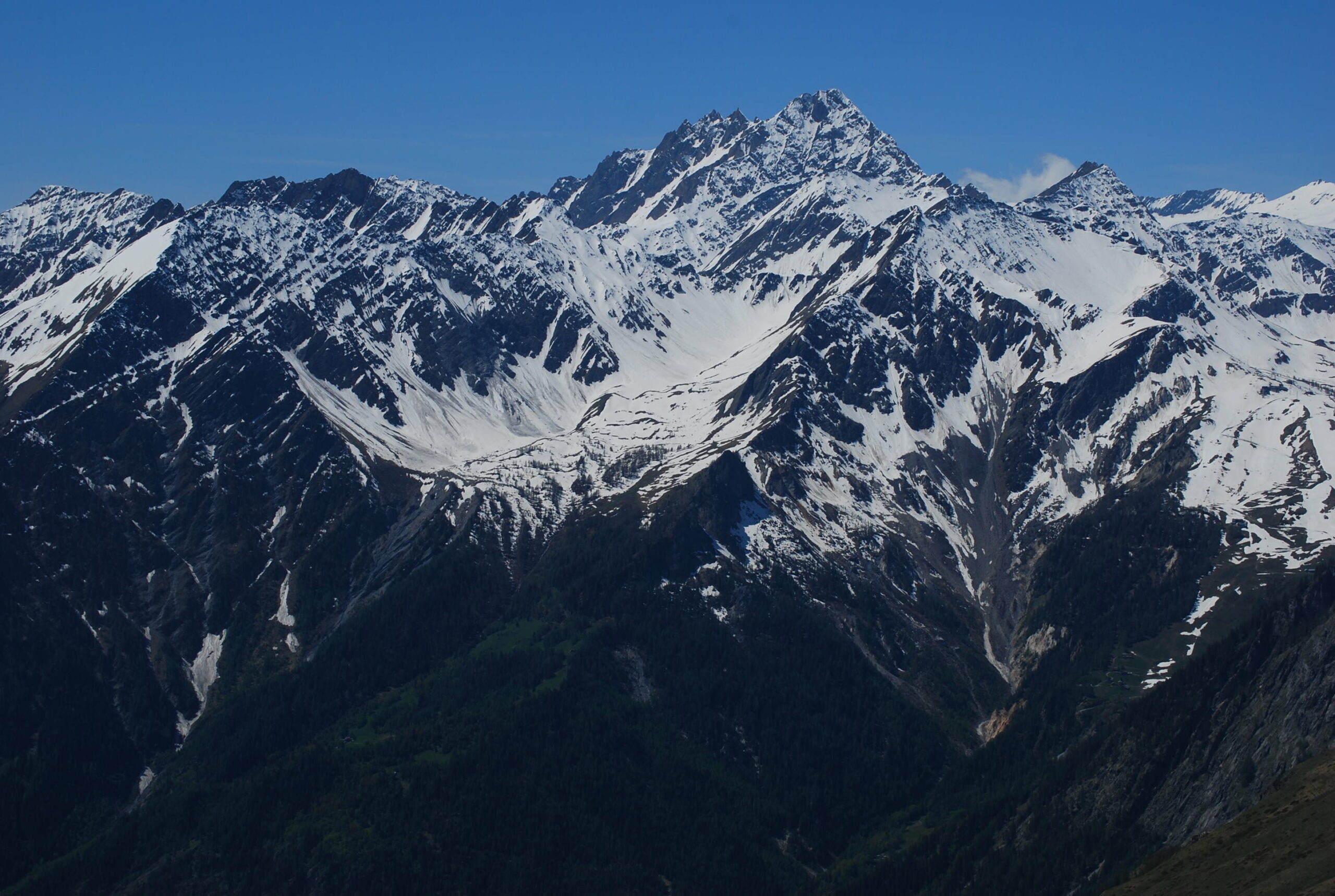
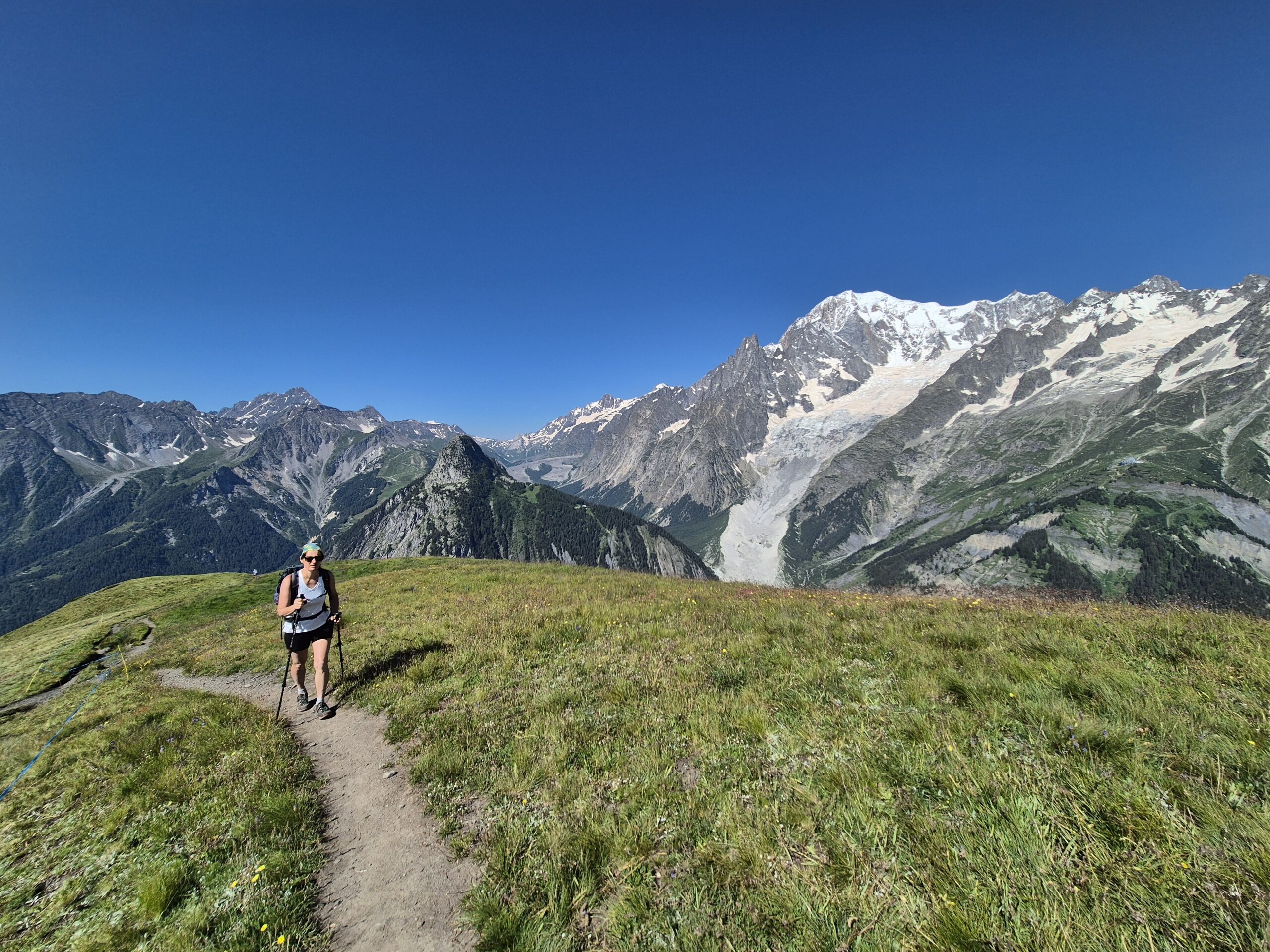
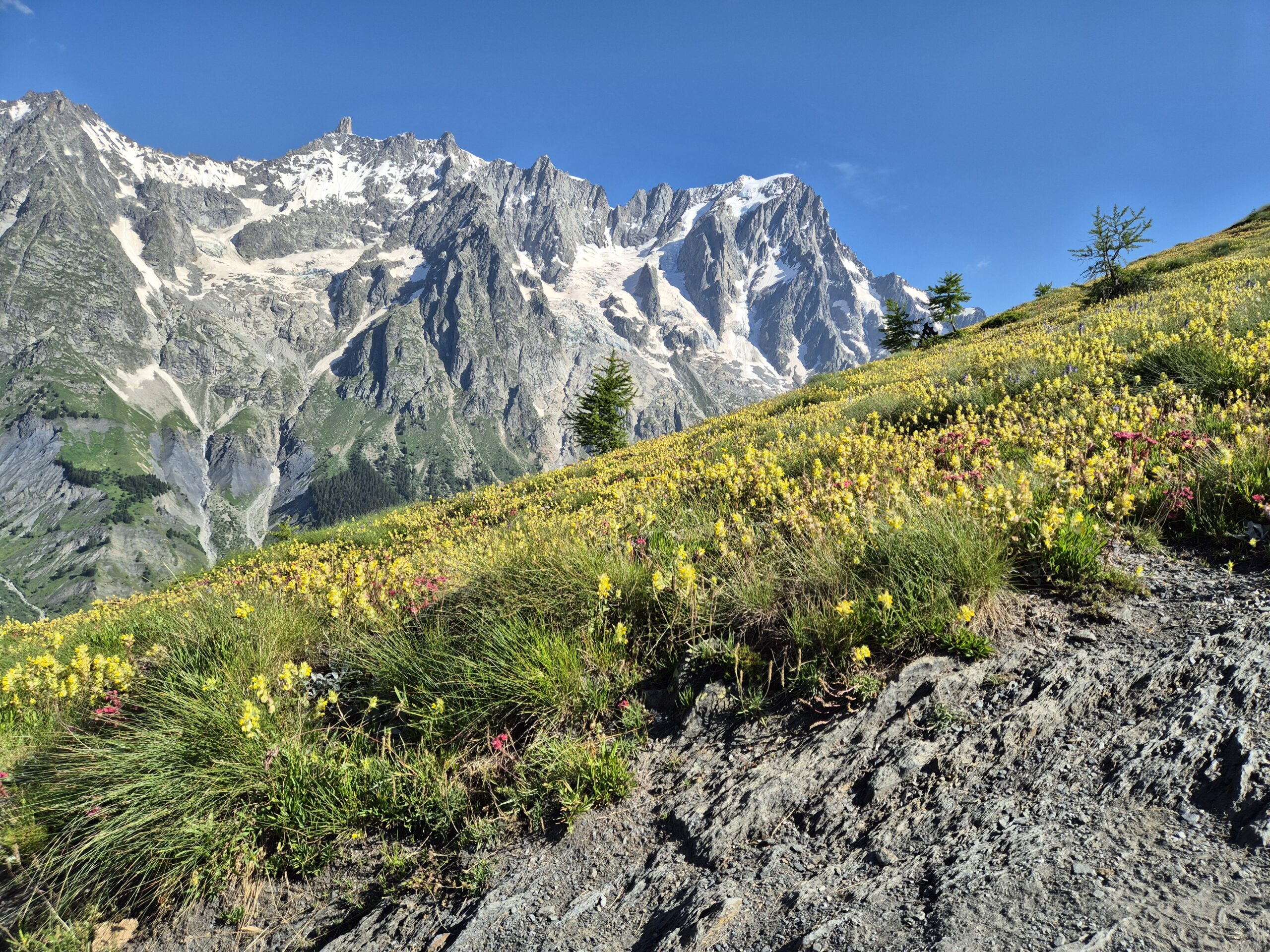
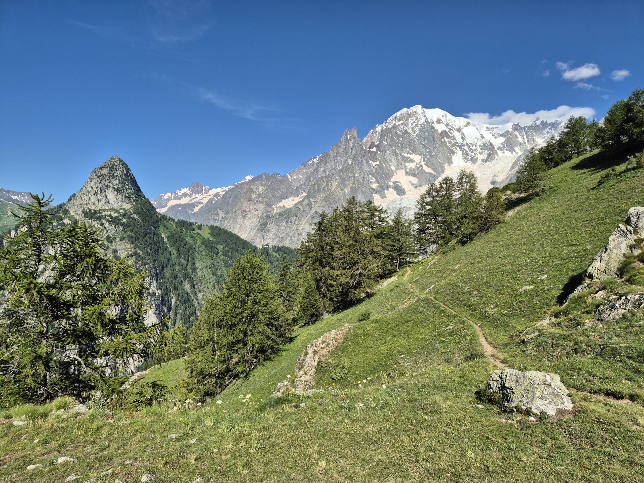
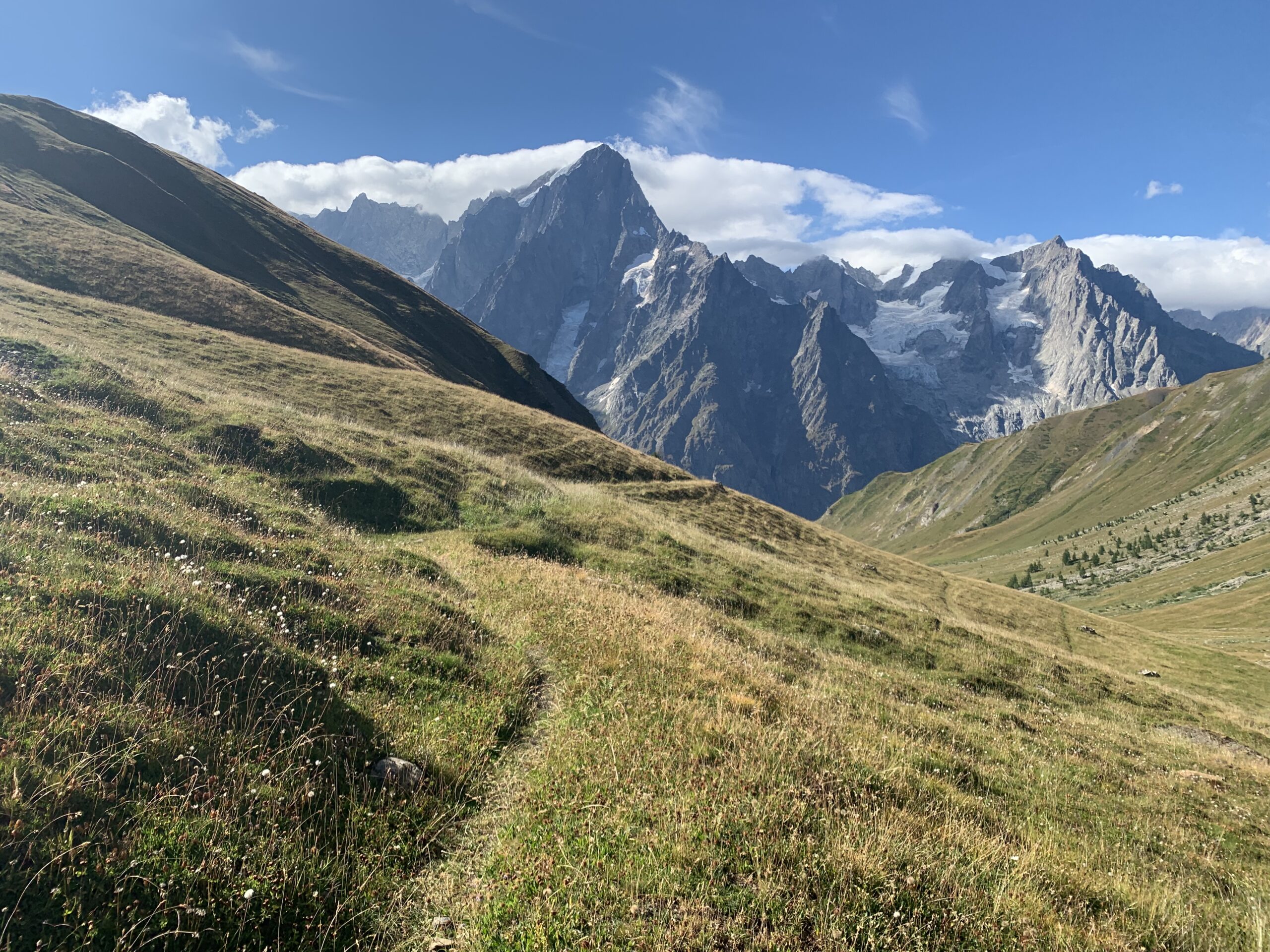
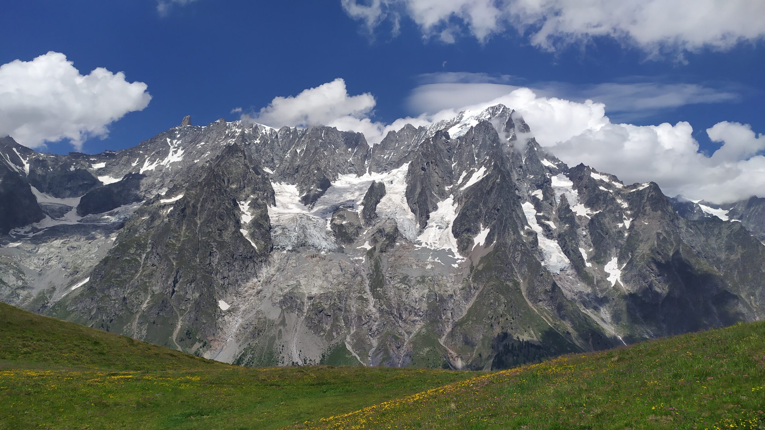
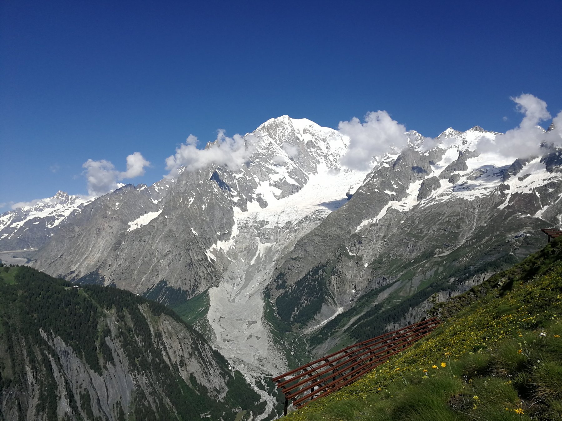
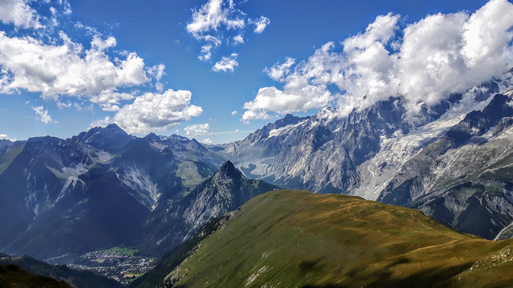
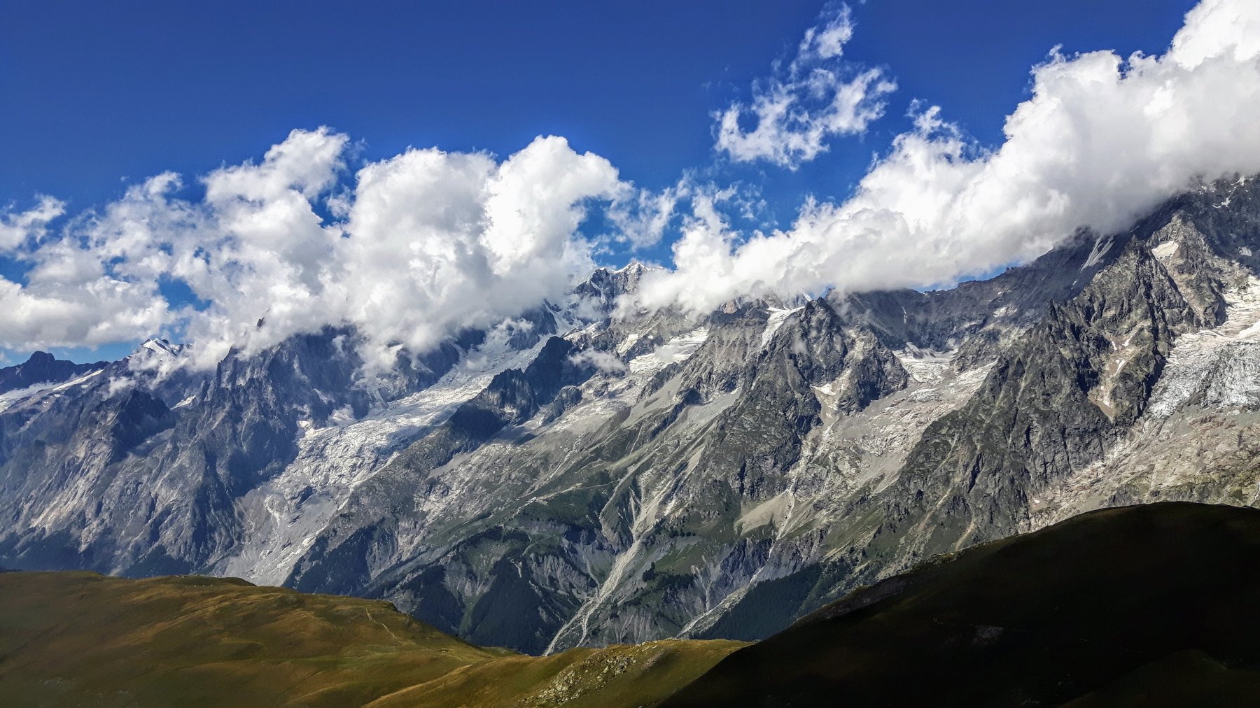
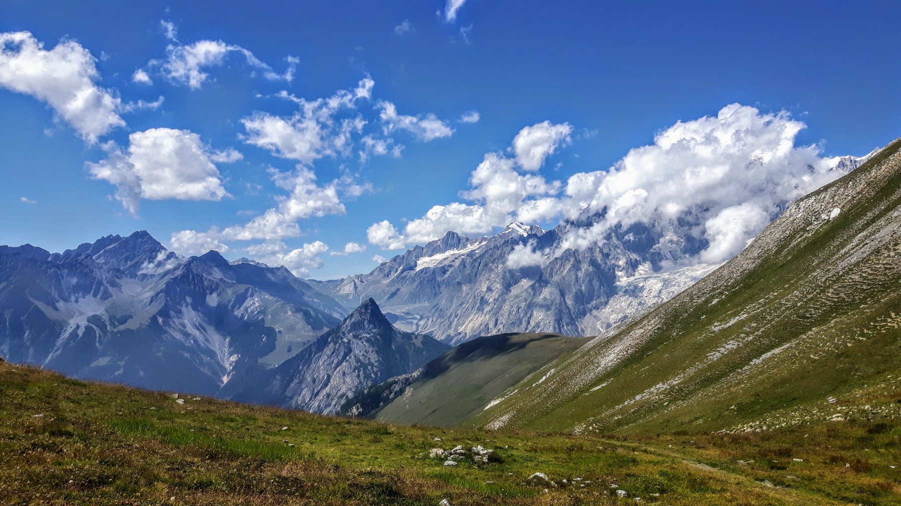
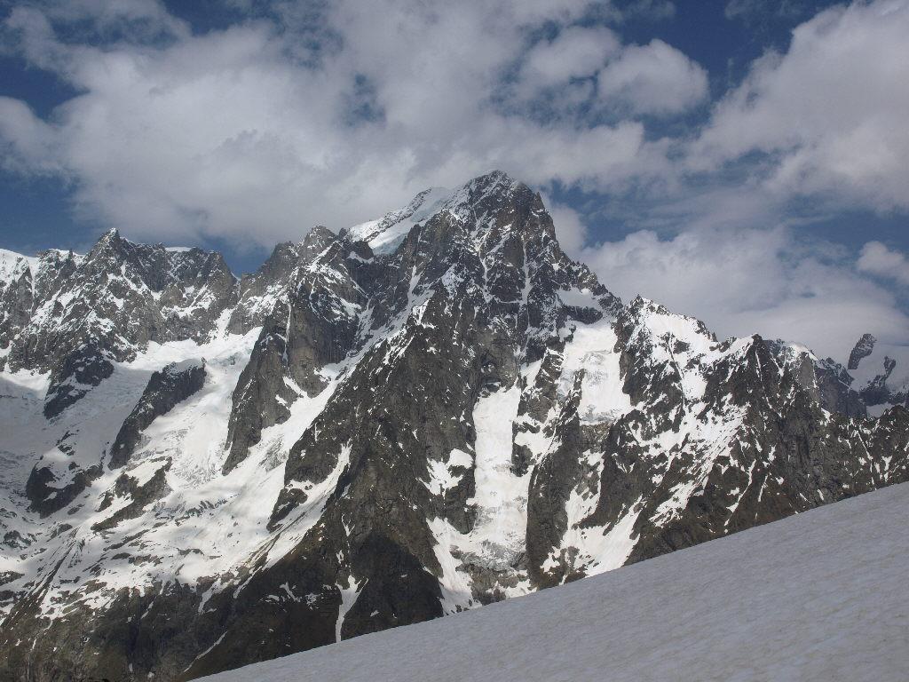
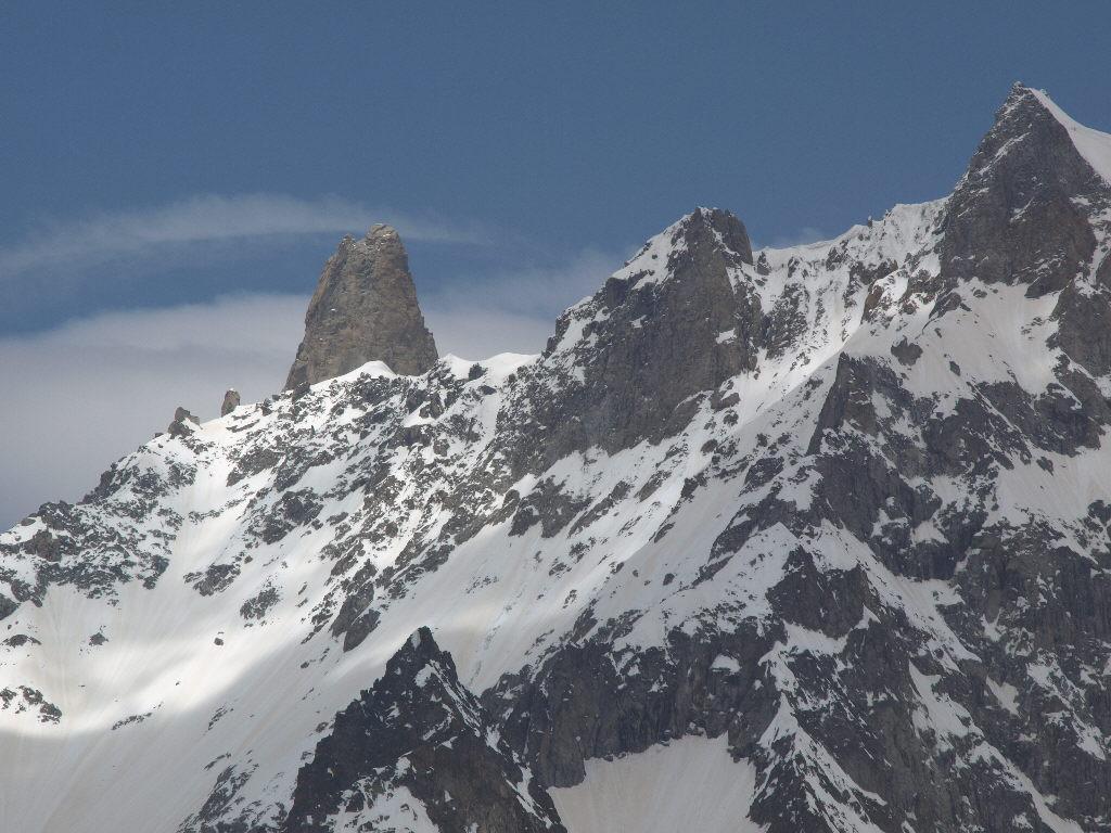
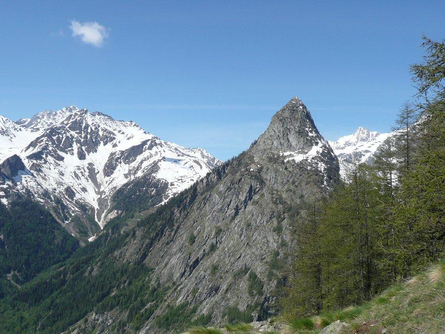
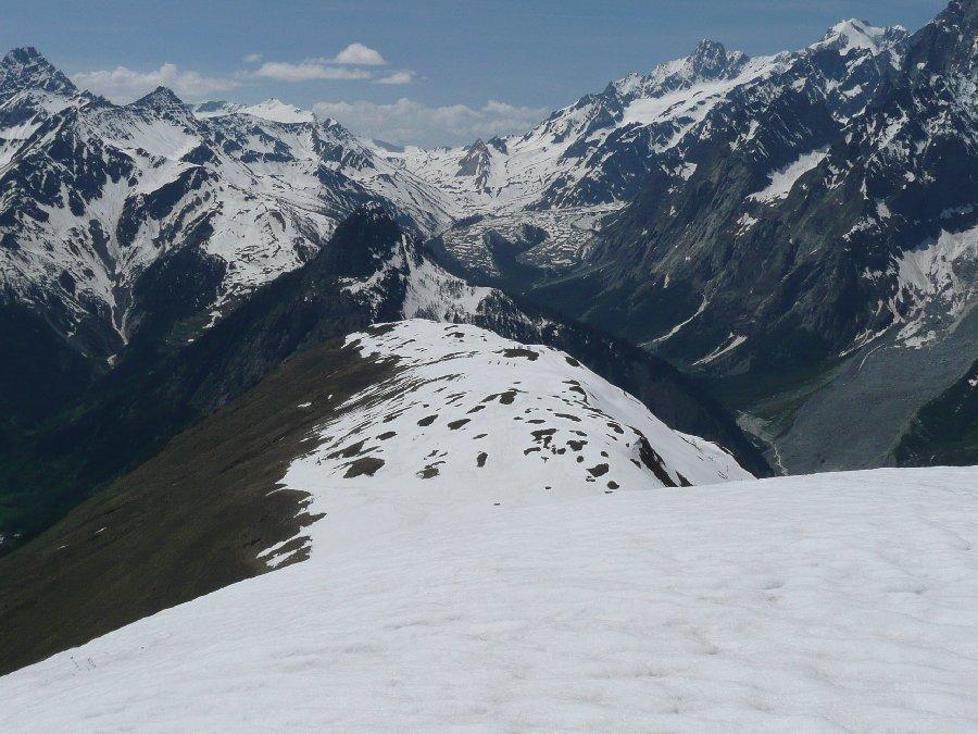
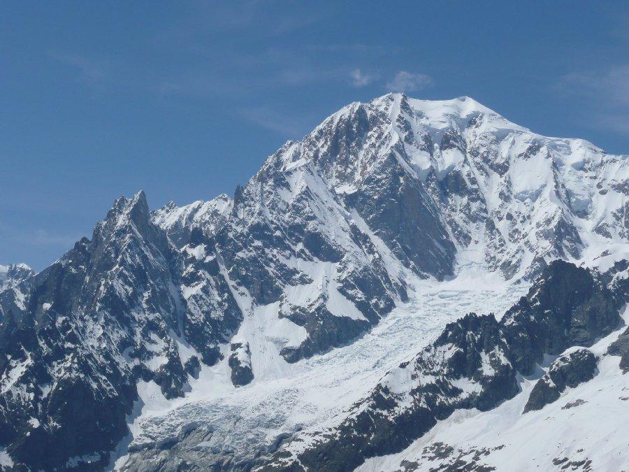
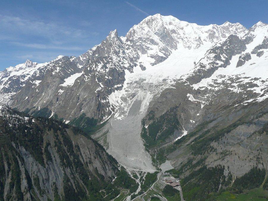
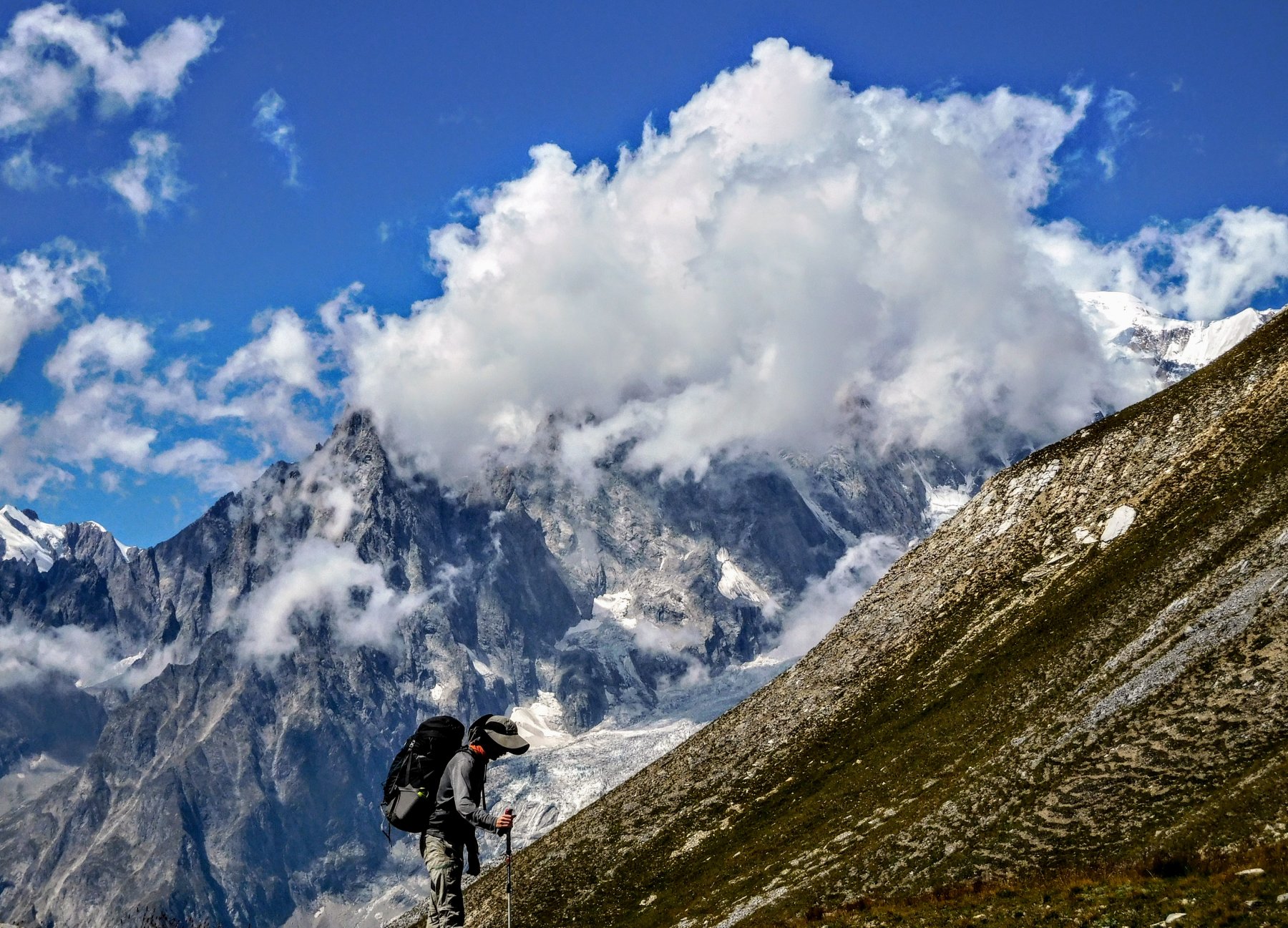
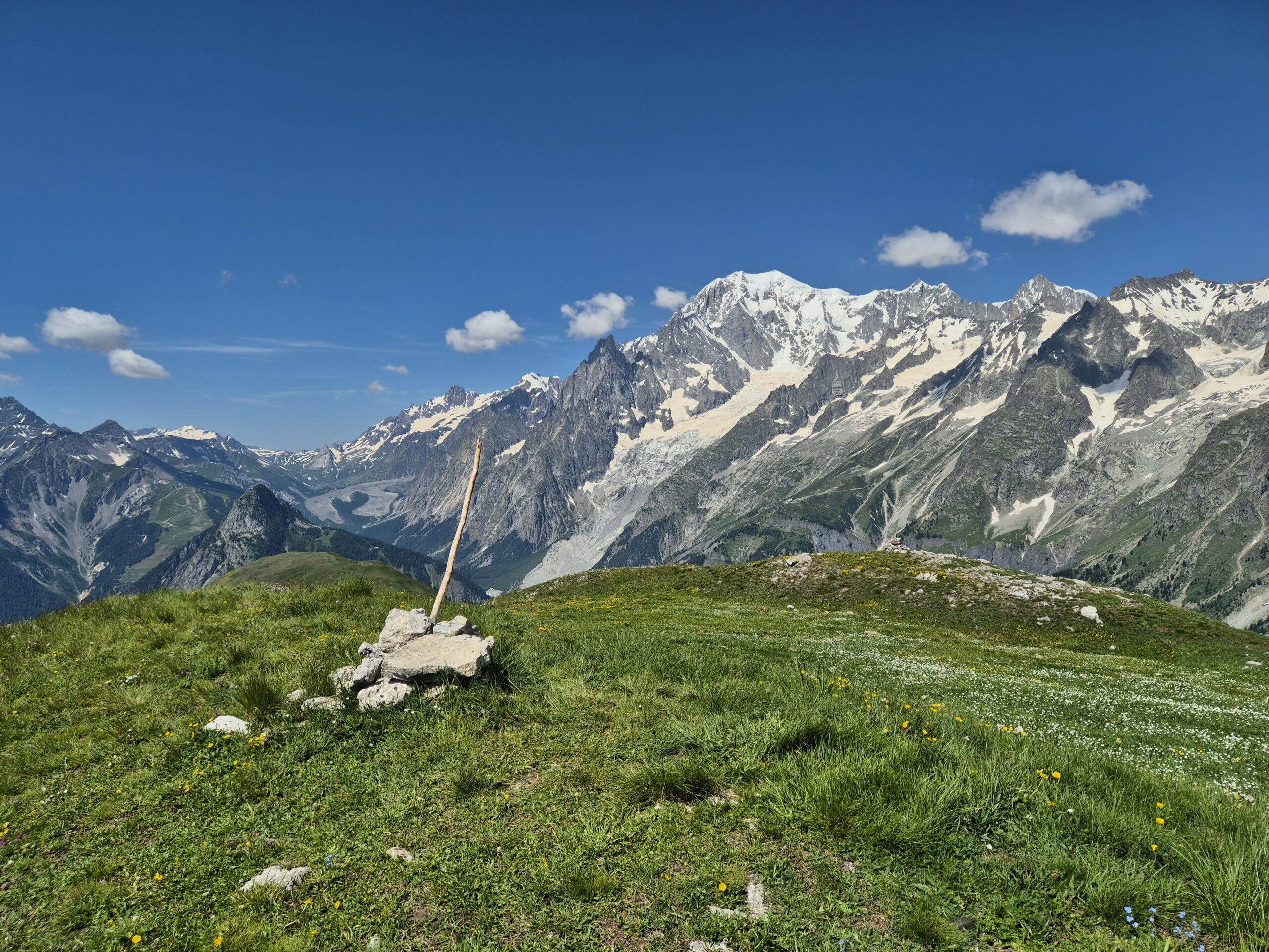
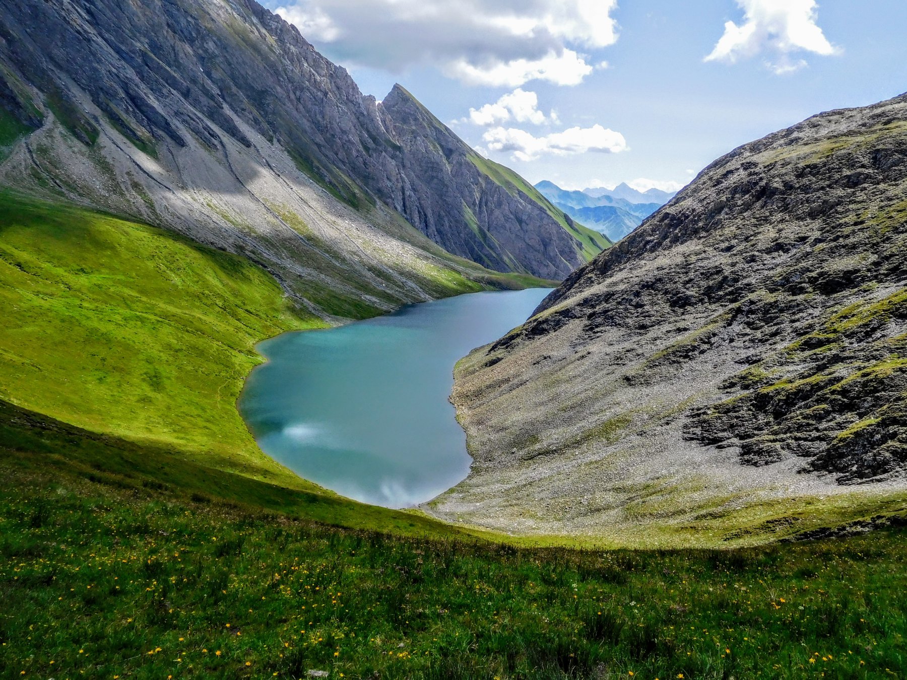
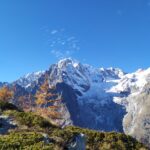
Escursione molto bella e non particolarmente faticosa, una vera e propria balconata sul gruppo del Monte Bianco. L'anello può essere condotto in entrambi i sensi, tenendo conto che la parte più faticosa del percorso è la salita al Col Sapin, su buon sentiero ma a tratti ripido. Lunghezza percorso 14 km totali
Avvicinamento
Si raggiunge Courmayeur percorrendo o l'autostrada A5 Torino Aosta uscita Courmayeur, oppure la SS26 della Valle d'Aosta sempre fino a Coumayeur. Qui si seguono le indicazioni a destra per alcune frazioni tra cui Villair. Raggiunta Villair, dove non ci sono posteggi per i non residenti, si prosegue ancora per 1 km su strada stretta e a tratti sterrata fino al posteggio della Val Sapin (15-20 posti, in estate si riempie in fretta) oltre il quale vige divieto di transito.
Descrizione
Dal posteggio si attraversa il ponte sul torrente seguendo la strada sterrata, che dopo un paio di tornanti (sono anche presenti scorciatoie) incontra a sinistra il Bivio per la Testa Bernarda ed il Rifugio Bertone.
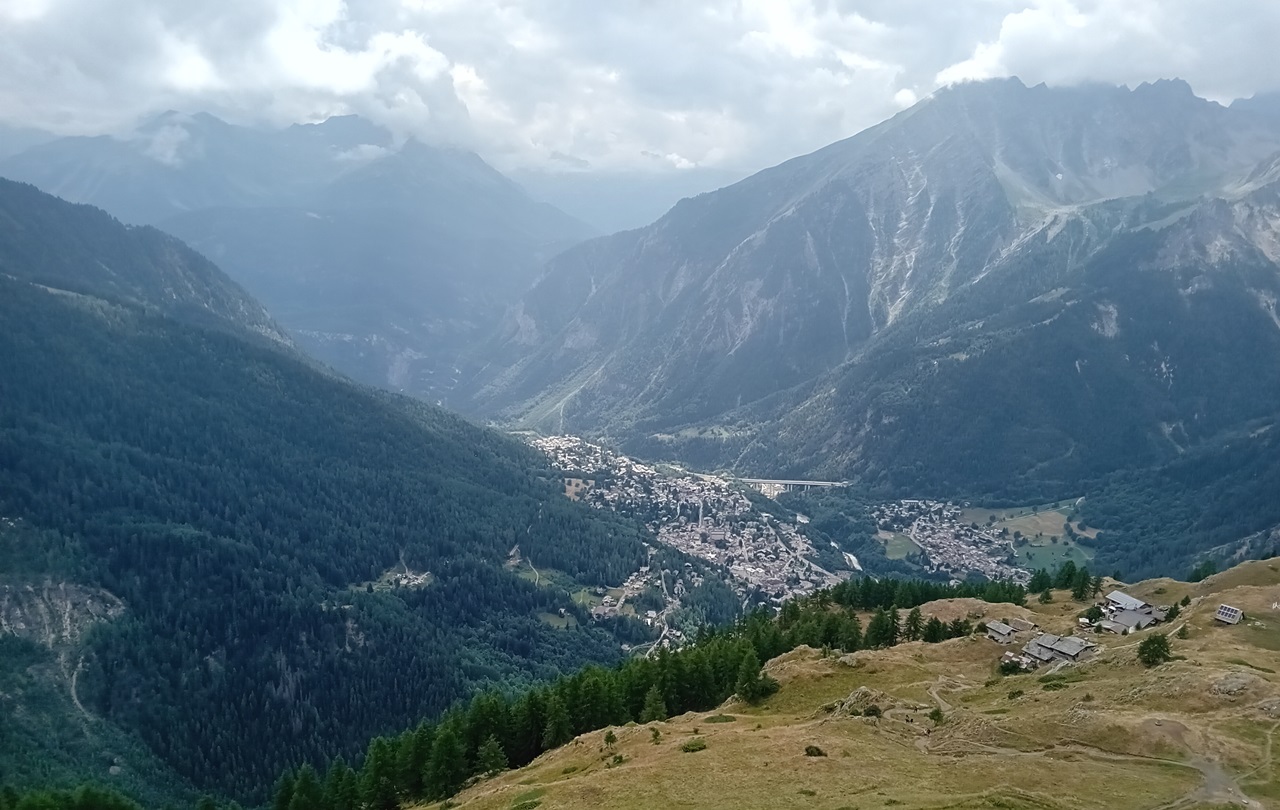
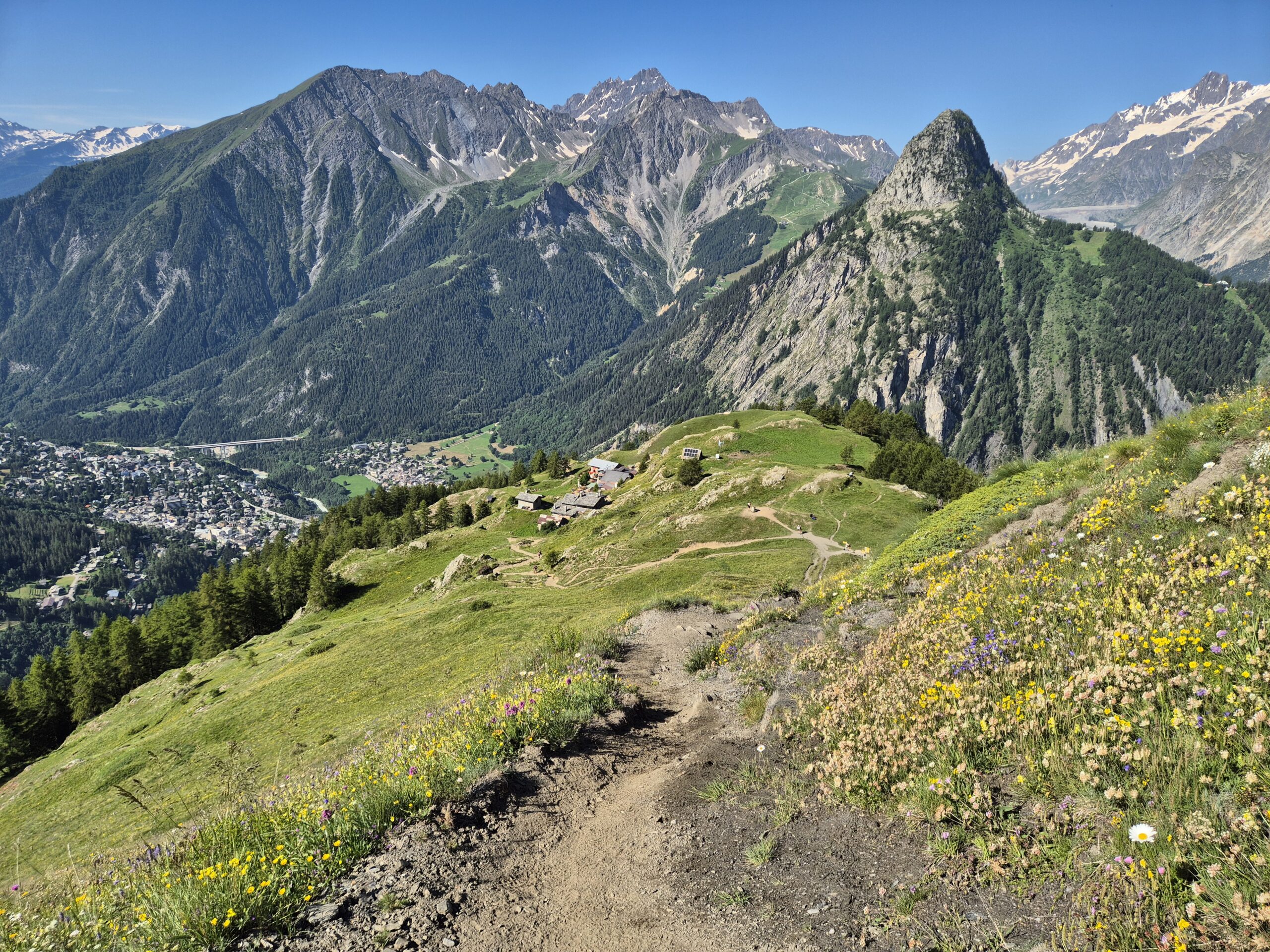
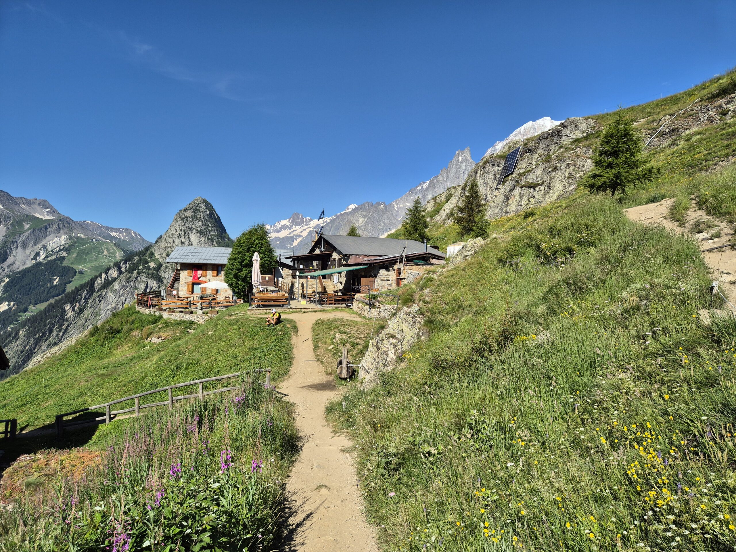
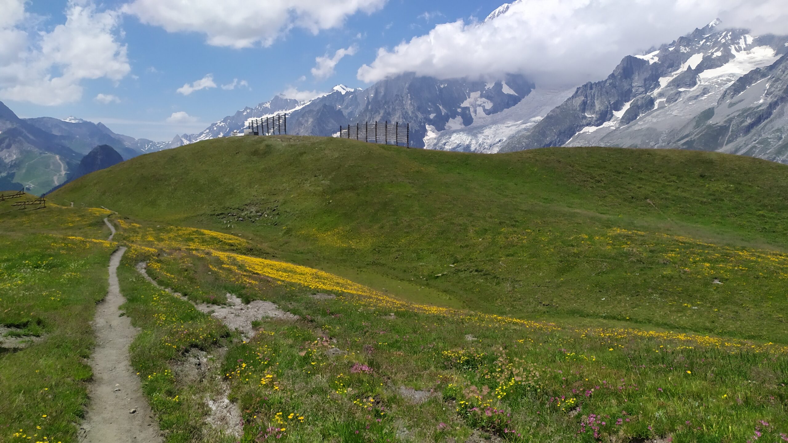
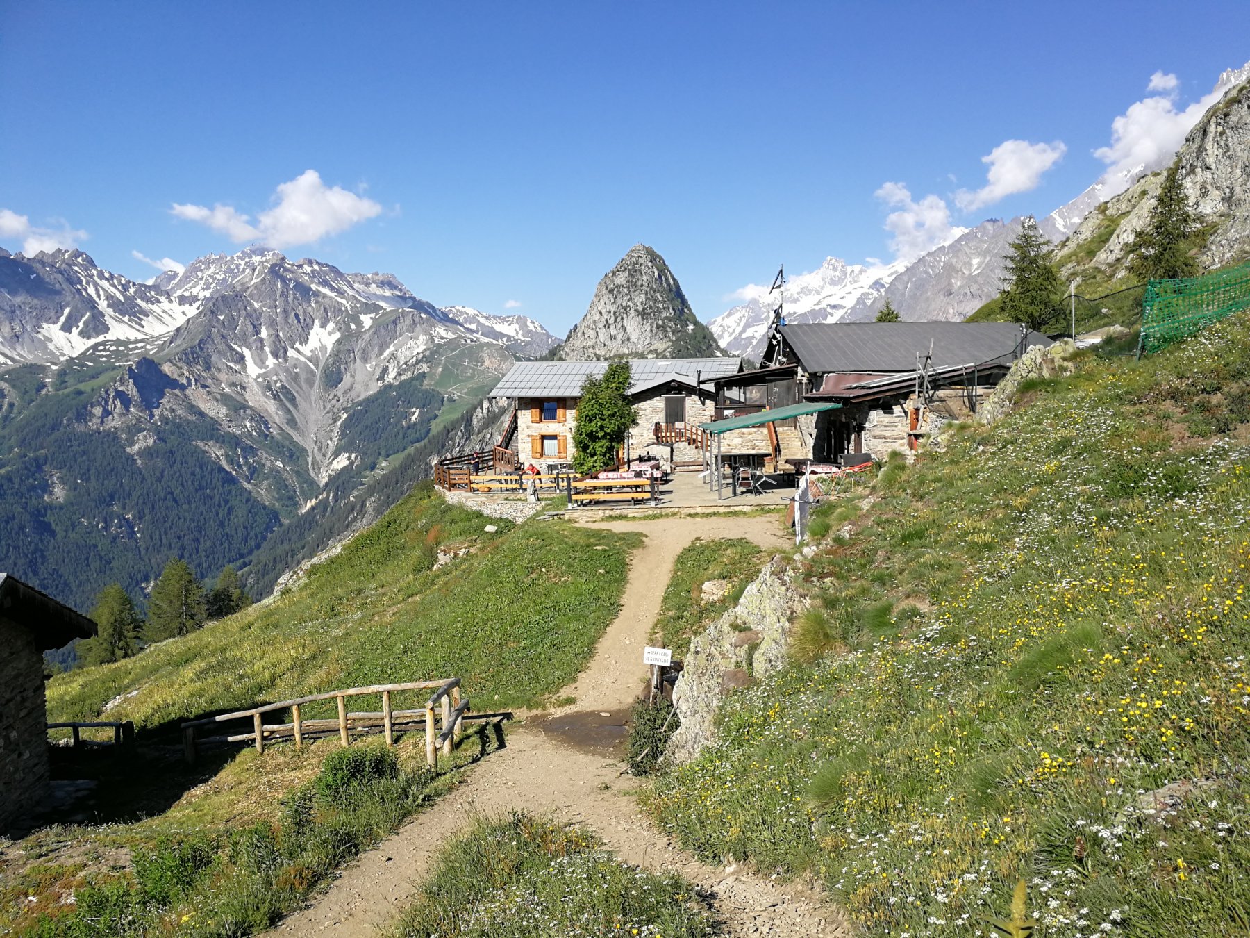
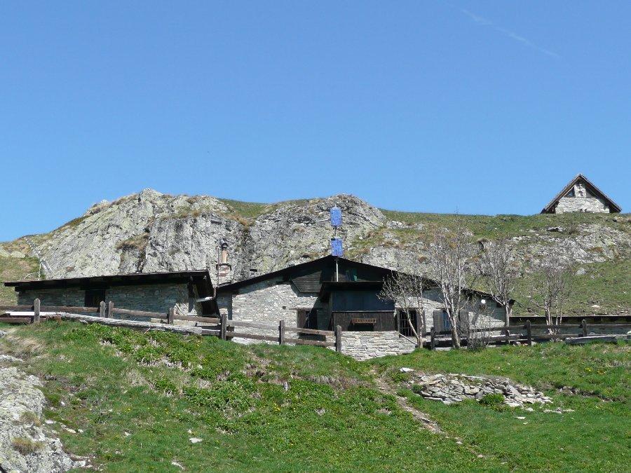
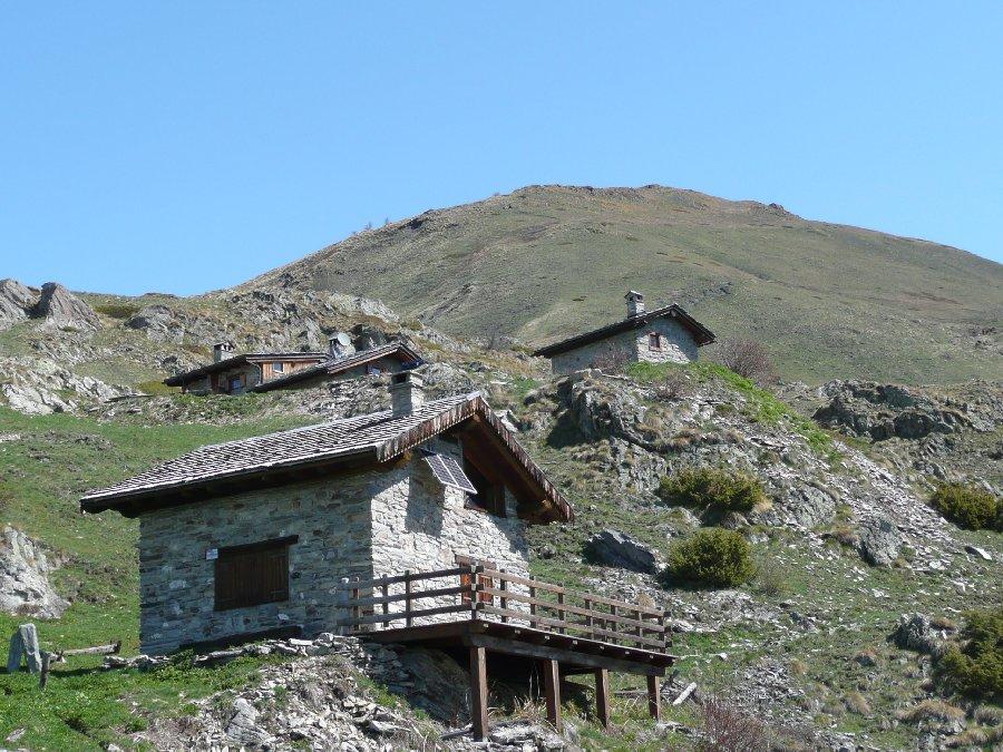
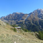
Si segue la bella mulattiera nel bosco, sentiero n.42 (TMB), che si inerpica nel versante est con tratti di selciato, fino a sbucare fuori dal bosco ormai in prossimità delle bellissime baite del Rifugio Bertone 2000 m.
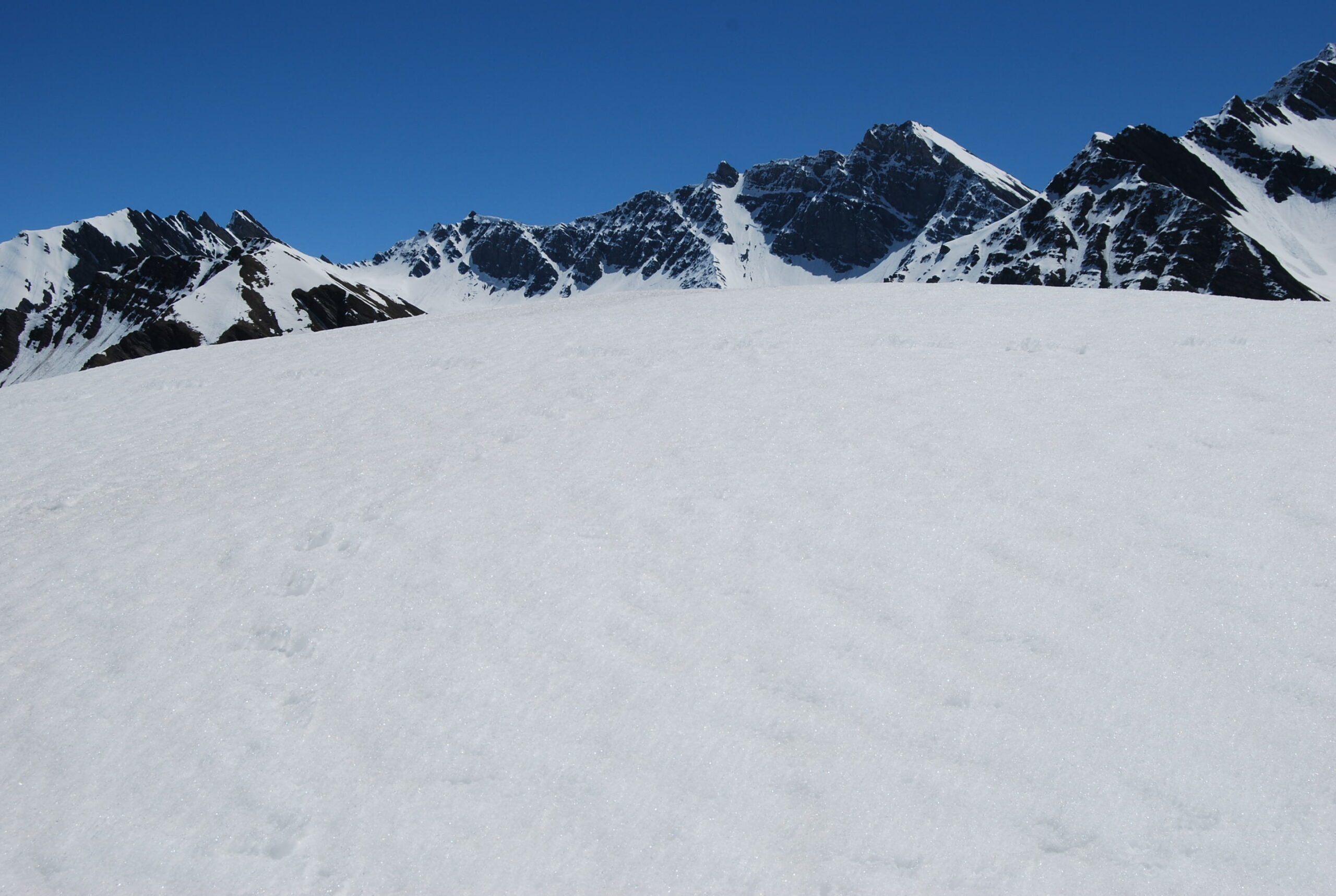
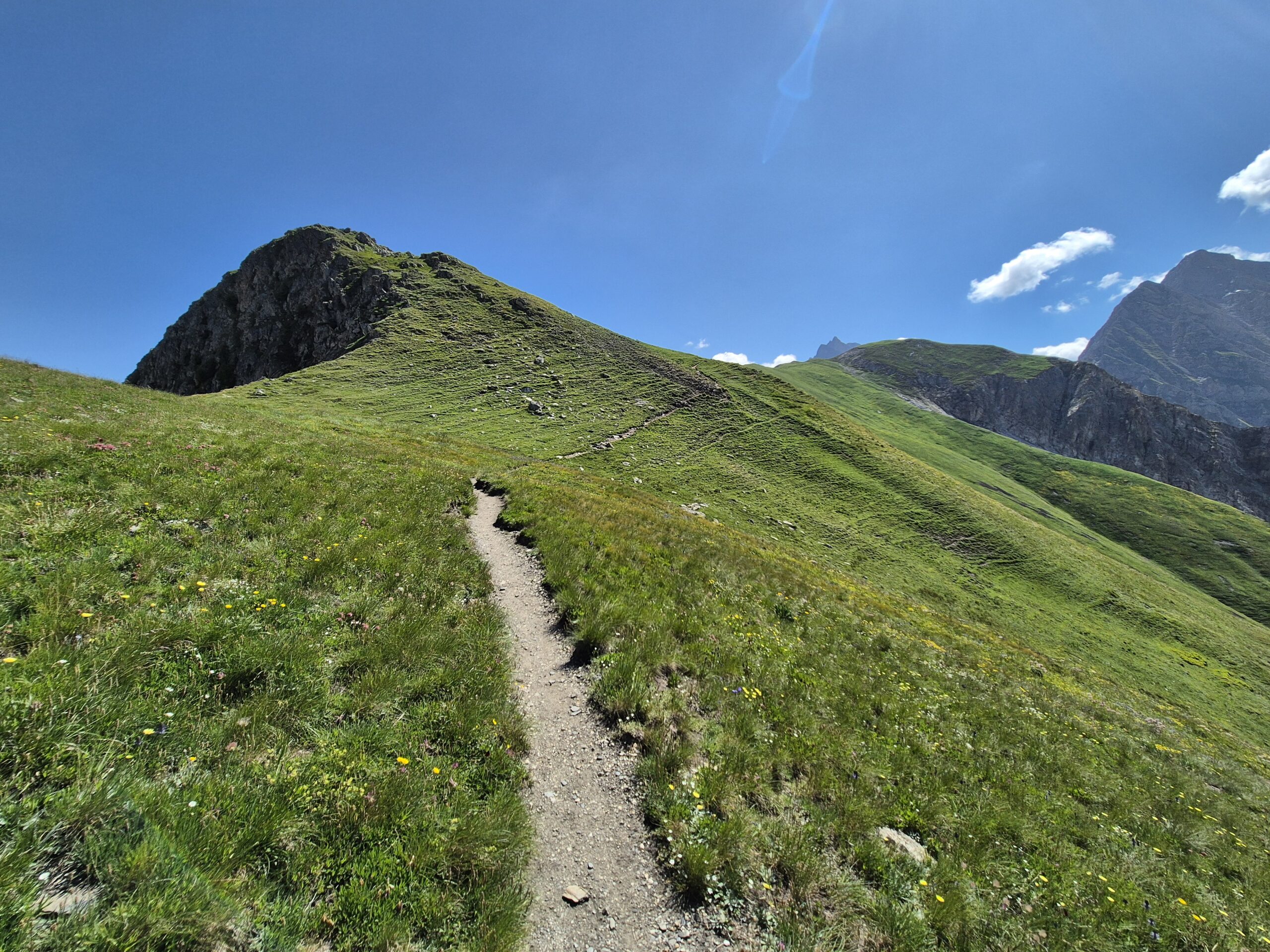
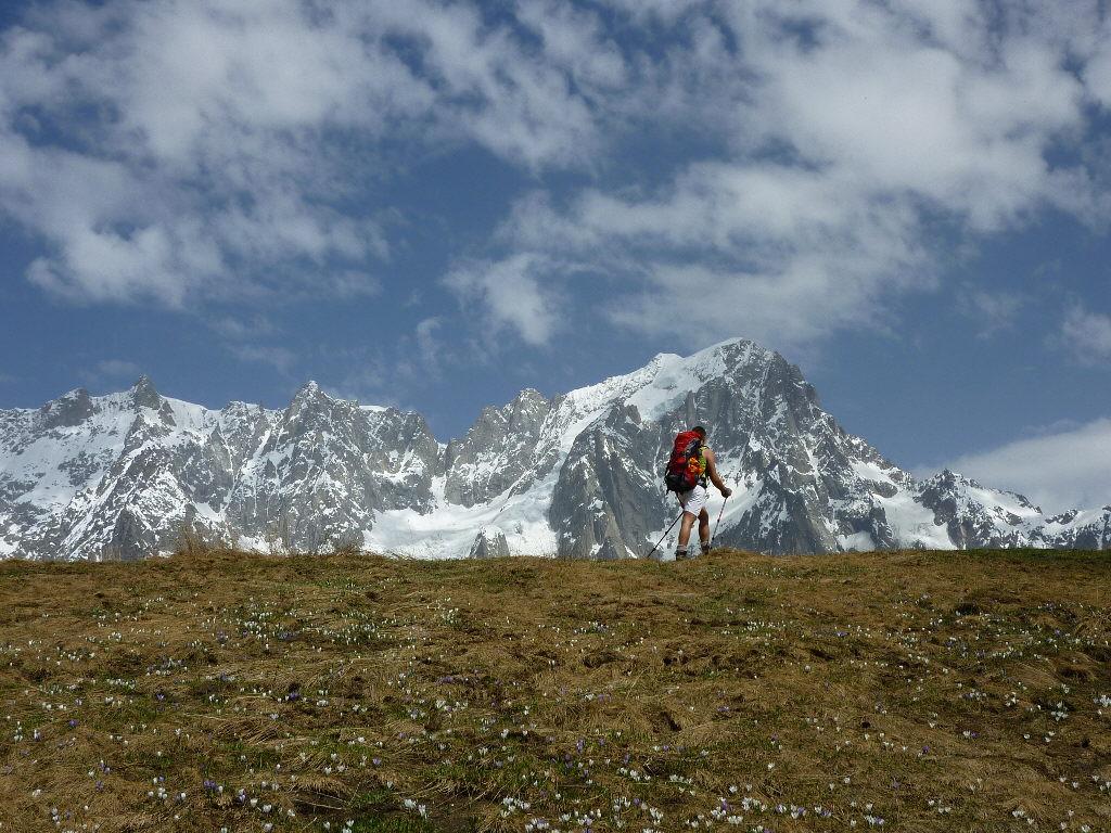
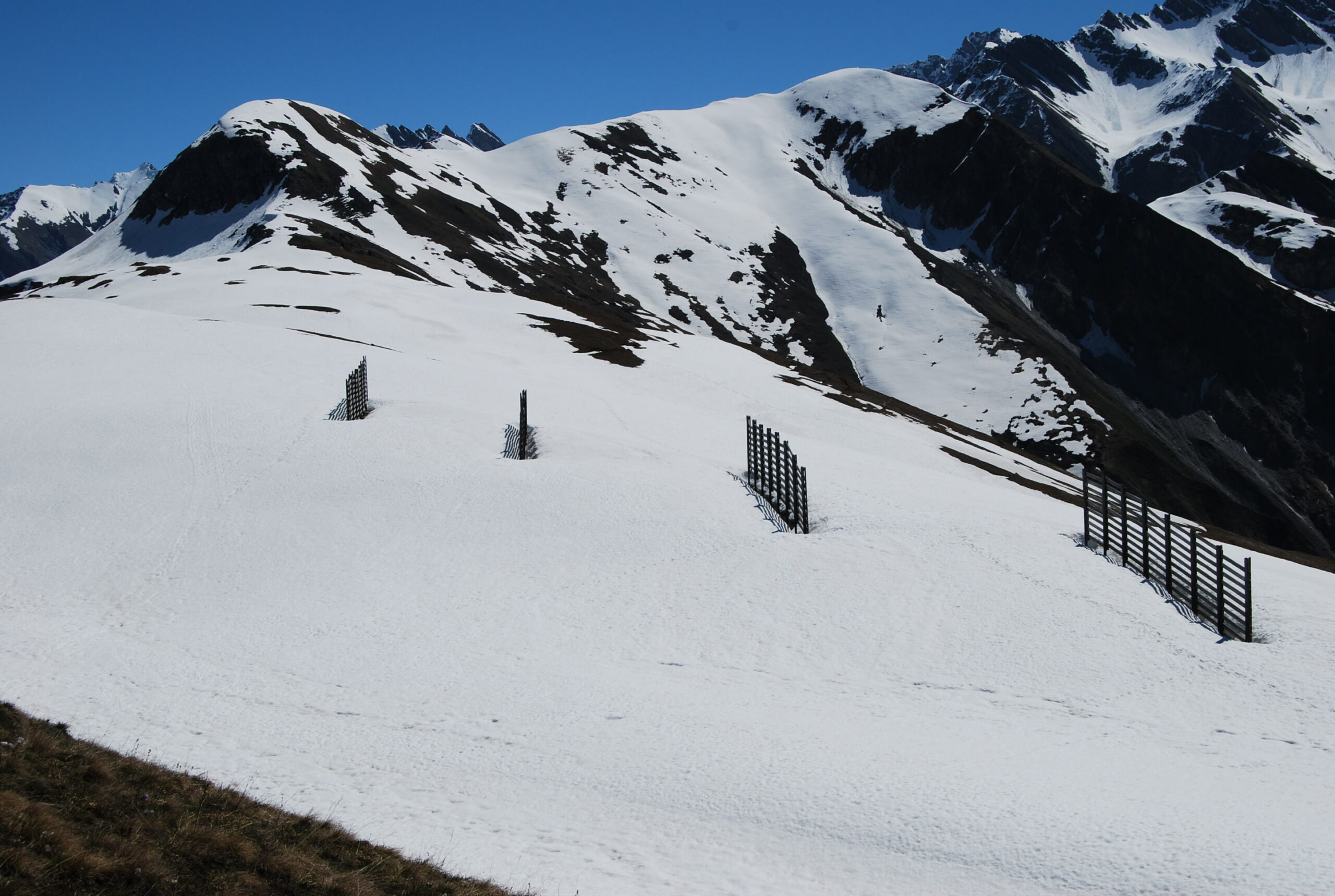
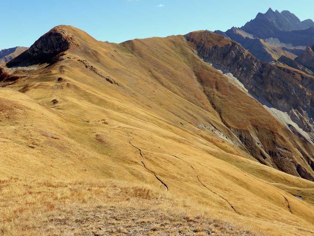
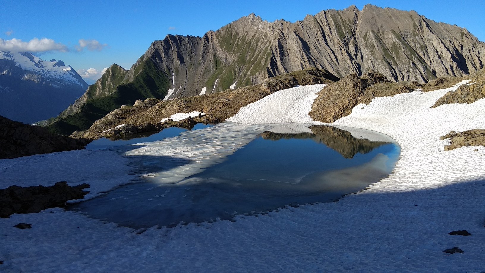
Ora il sentiero sale verso nord un po’ più ripido sul costone erboso, finchè si sbuca sul vasto altopiano dei Monts de la Saxe, piccole elevazioni erbose contraddistinte da barriere paravalanghe. Si percorre la panoramicissima dorsale con alcune ondulazioni che culmina con la quota 2346 m.
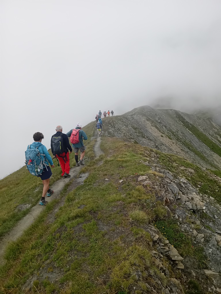
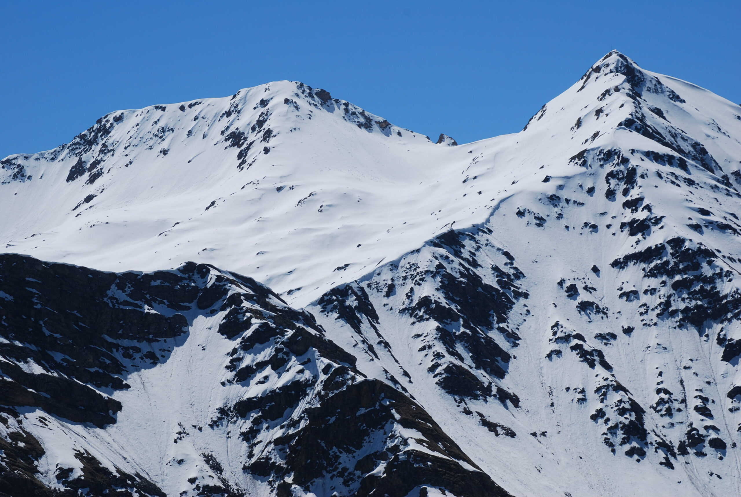
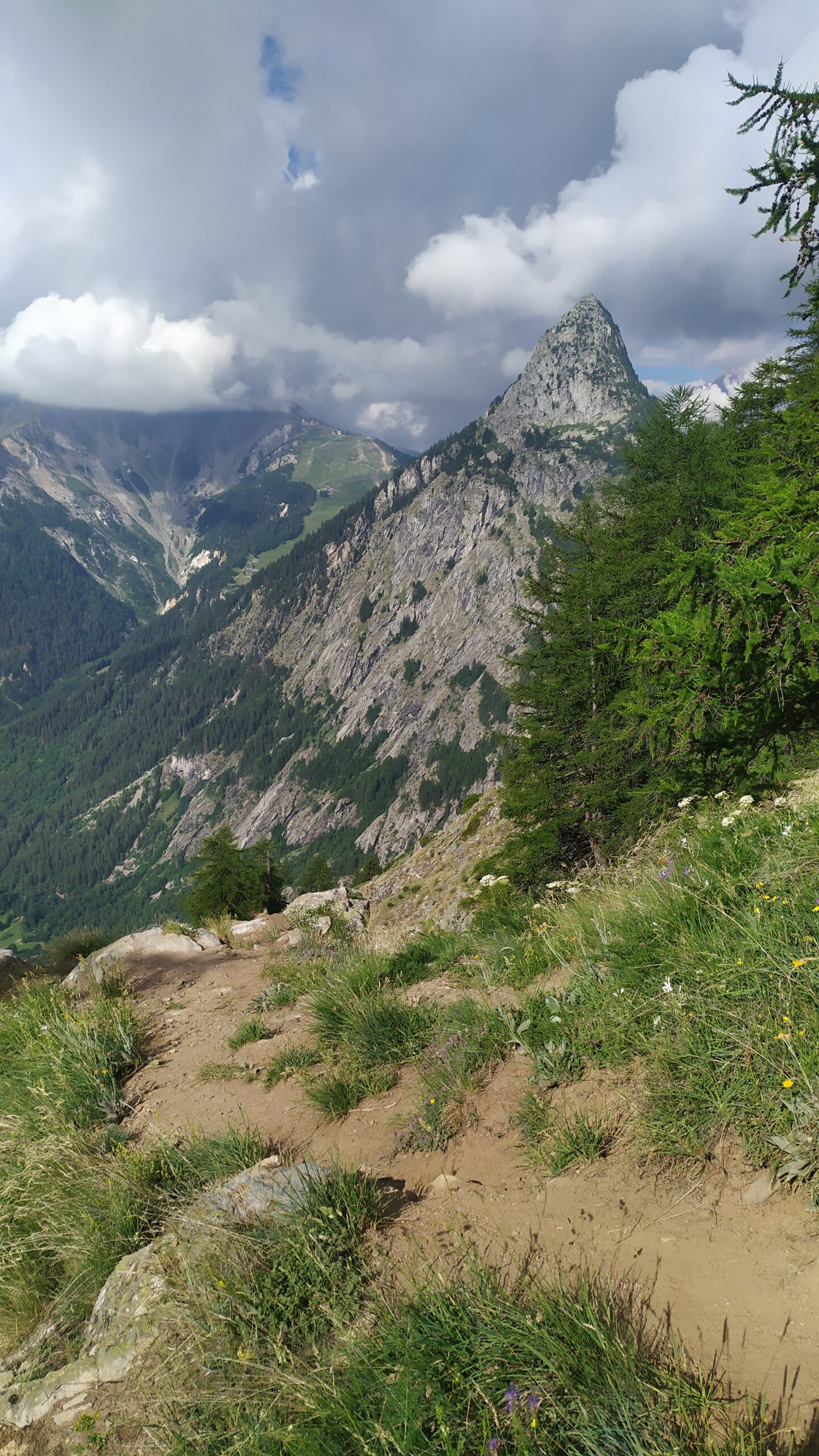
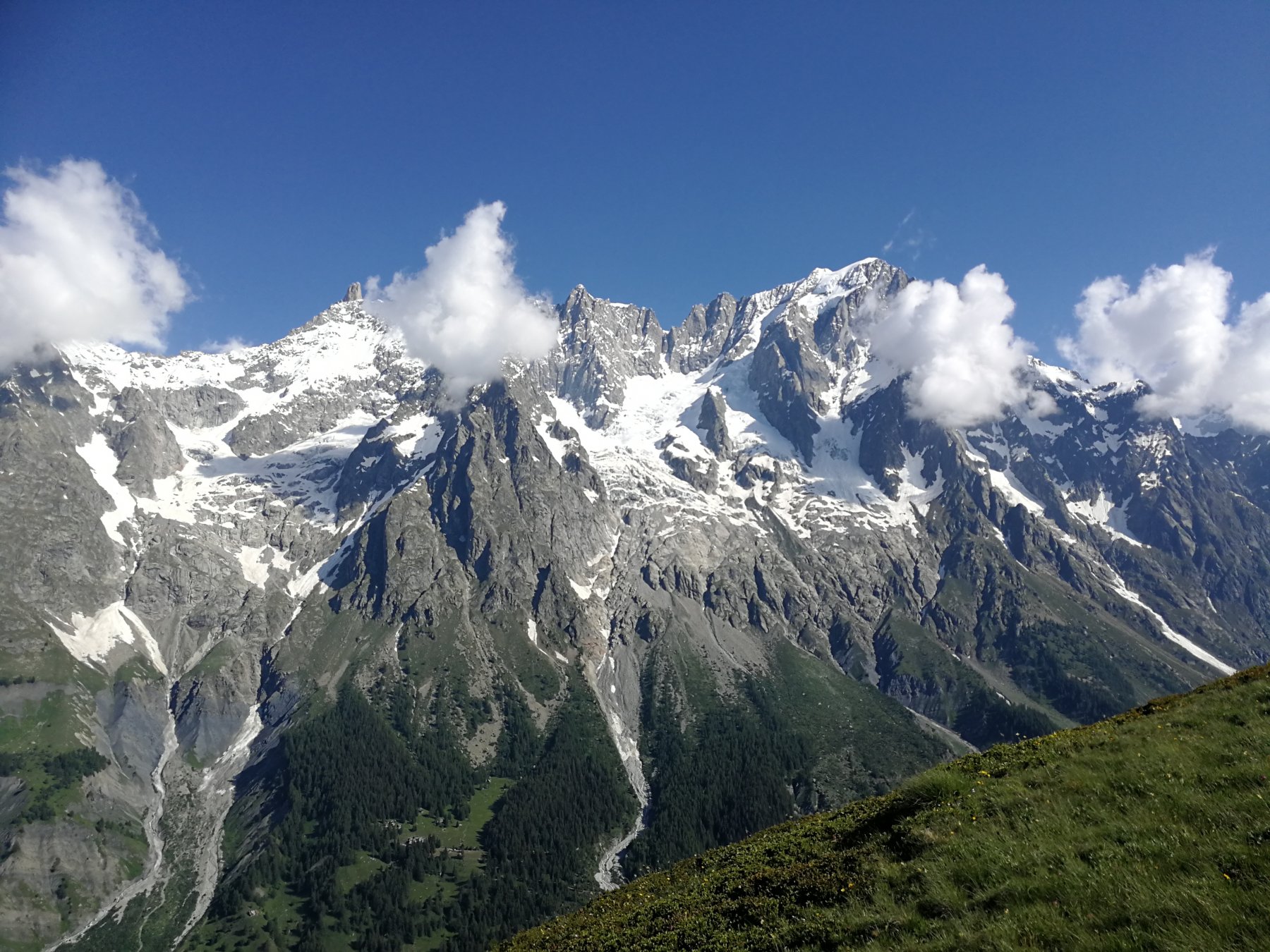
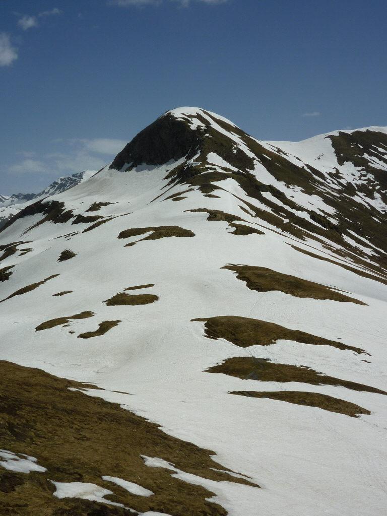
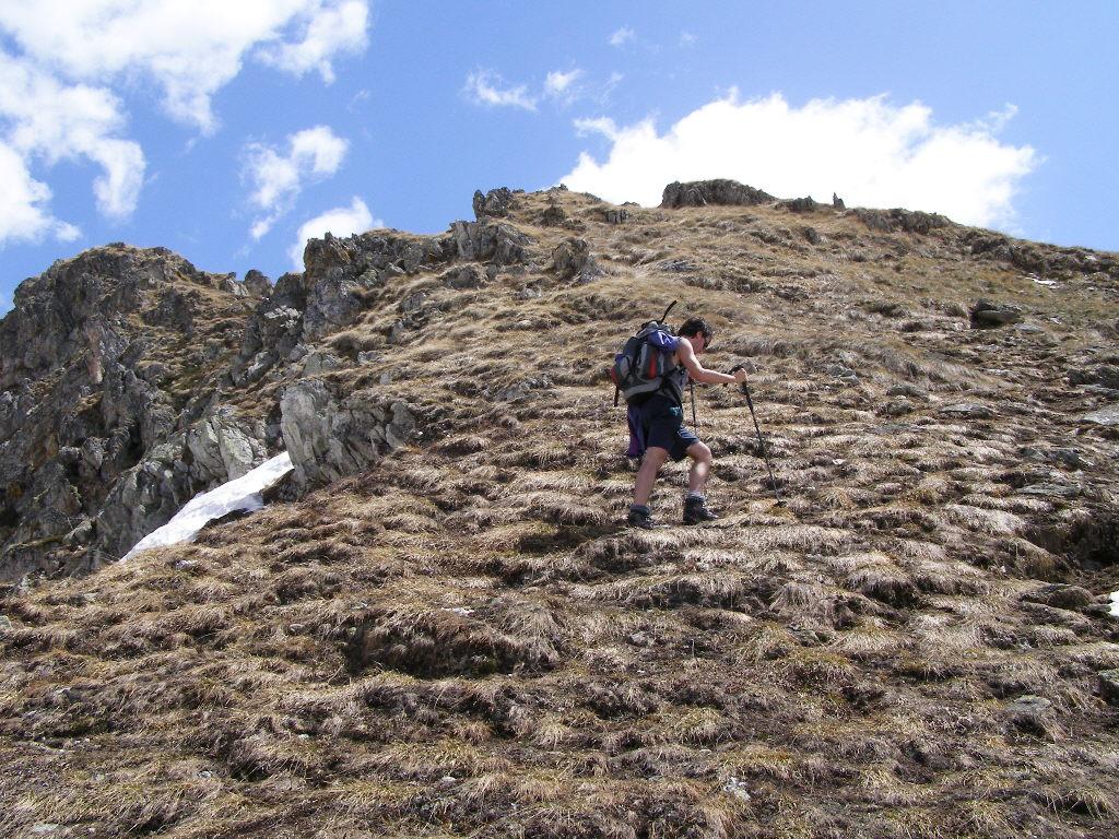
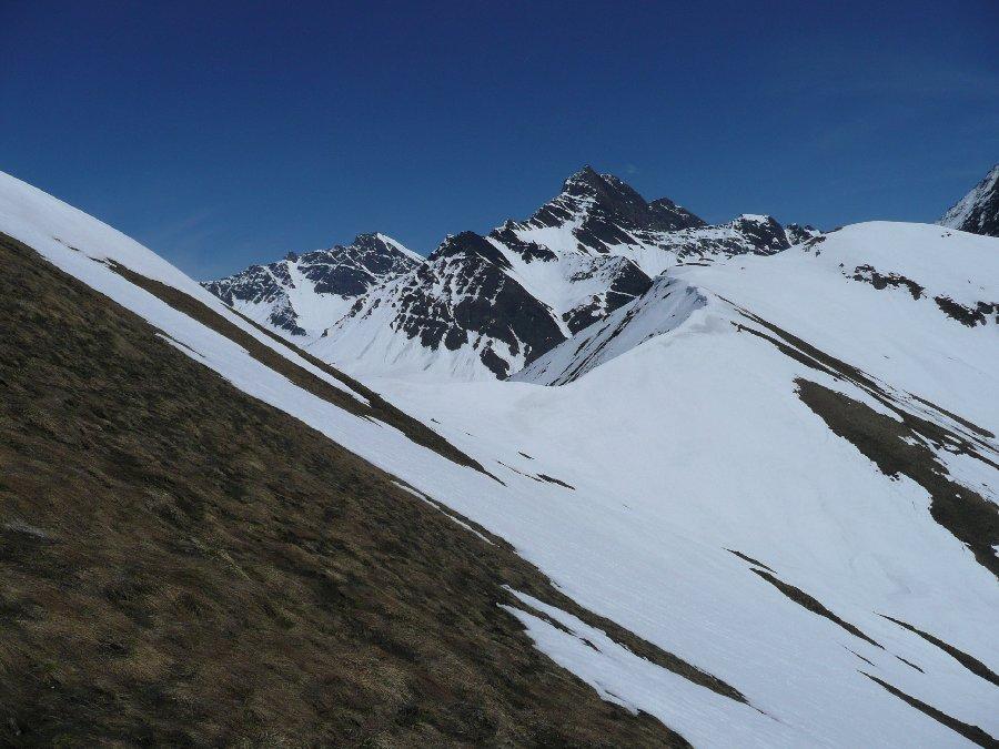
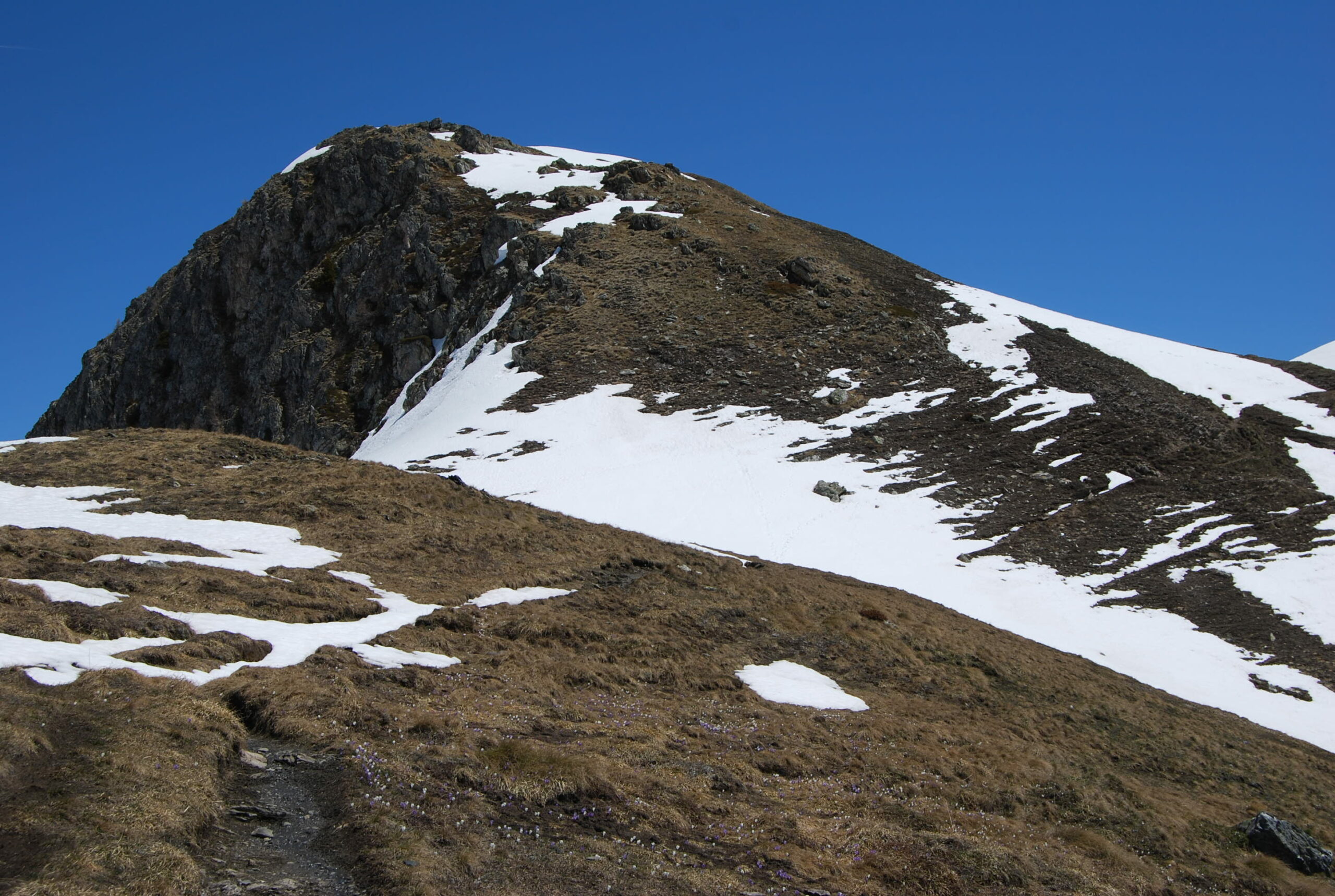
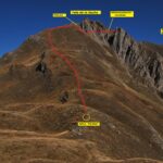
Dopo una sella, il percorso prosegue o sul sentiero principale che taglia le pendici della Testa Bernarda, oppure lungo una traccia secondaria che sale sulla cima (consigliato) 2534 m.
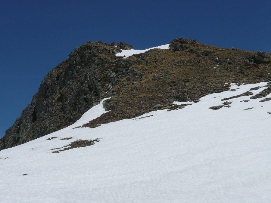
Scendendo brevemente il crinale opposto, si riprende la traccia principale che con un diagonale si porta sotto le pendici della Testa della Tronche, ampio panettone erboso che si tocca senza alcuna difficoltà 2584 m.
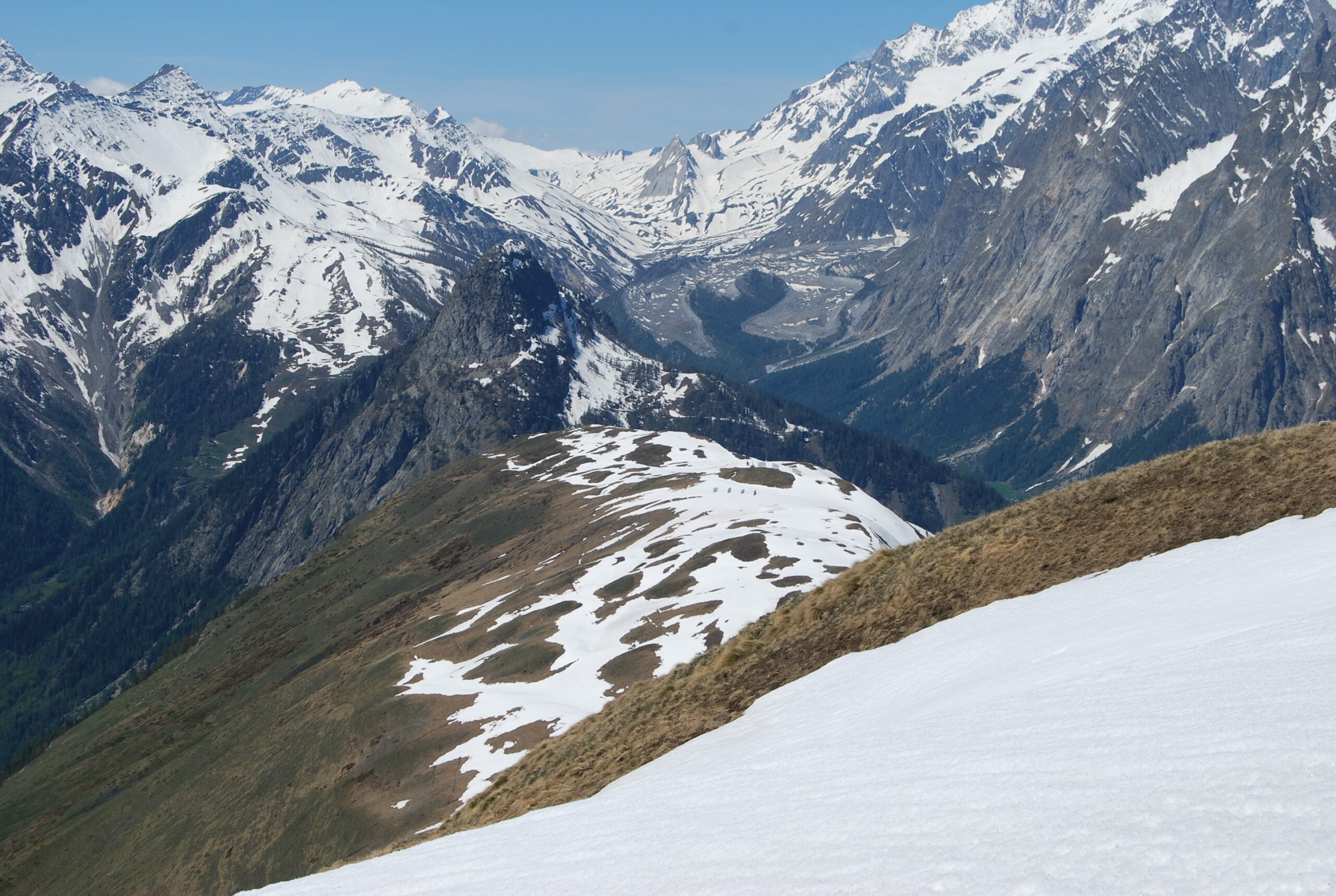
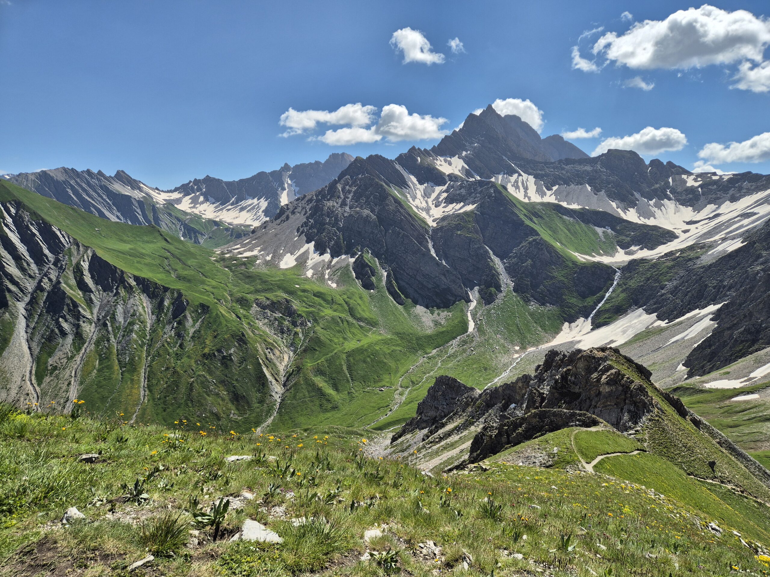
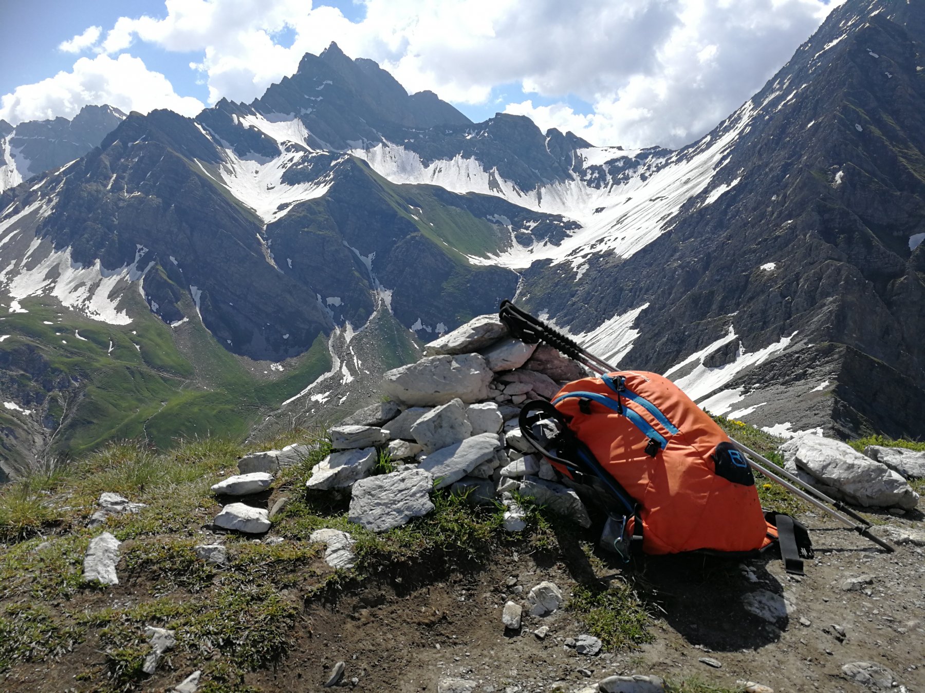
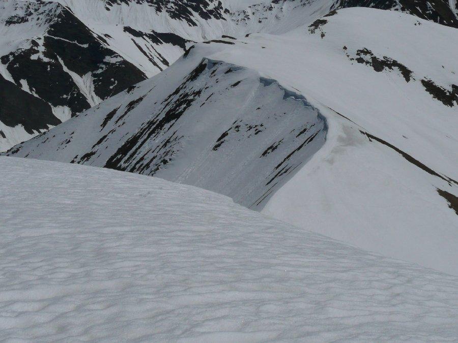
Volendo compiere l’anello, si prosegue verso est scendendo rapidamente al Col Sapin (cippo di pietre) 2436 m.
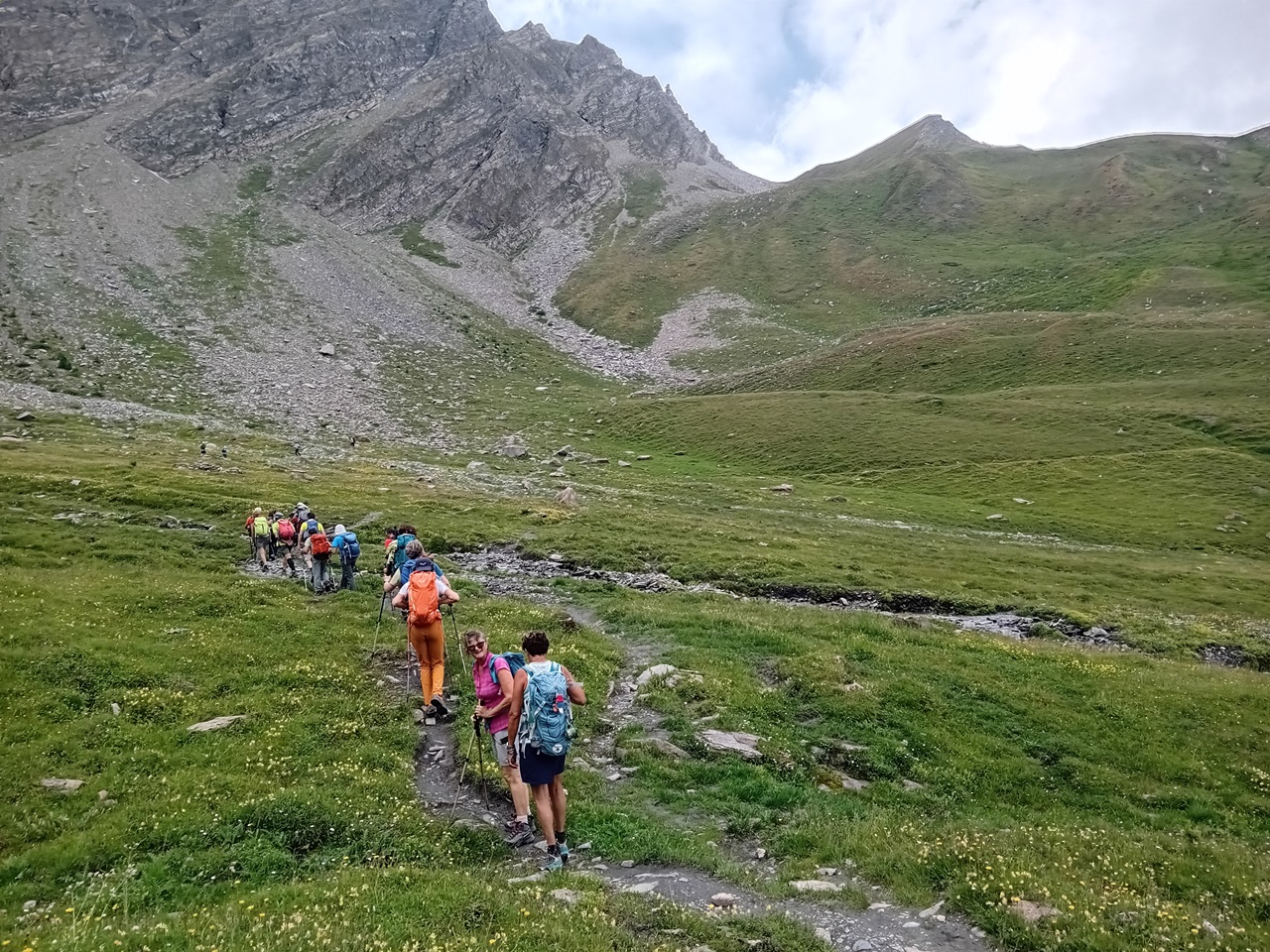
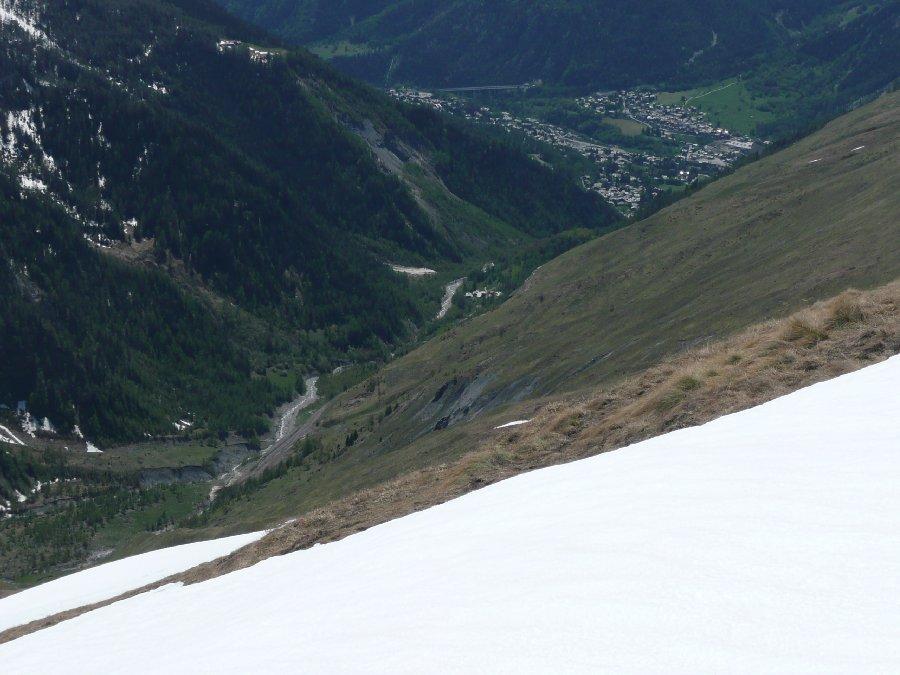
Qui si abbandona il tracciato del TMB, per scendere lungo il sentiero 43 nella sottostante Val Sapin, con percorso piuttosto diretto lungo il pendio erboso. Giunti sul fondo del vallone, solcato da un ruscello, si prosegue a mezzacosta sulla sinistra attraversando una serie di canaloni detritici, prima di effettuare una breve risalita per giungere nei pressi delle baite diroccate di Corrù 2005 m.
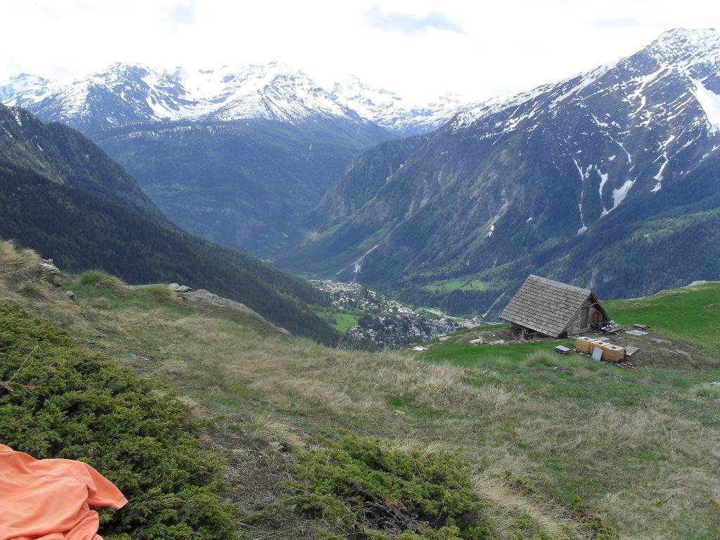
Riprende poi la discesa, dolce, incontrando a sinistra il bivio per il Colle di Liconi che si ignora; dopo un poggio panoramico con resti di una teleferica, la discesa torna marcata nel costone di larici abbastanza radi, fino a raggiungere nuovamente il fondovalle all’altezza delle baite di Tsapy 1635 m.
non resta ora che seguire in discesa la strada sterrata che dopo aver superato le baite Trappa 1505 m, riporterà al posteggio della Val Sapin
Una ulteriore possibilità di anello, una volta al Col Sapin si può scendere nel Vallone di Armina verso Lavachey in Val Ferret. Se si scende a Lavachey occorrono due auto o un po’ di pazienza per il rientro a piedi, altrimenti senza scendere a Lavachey, si percorre il sentiero a mezzacosta lungo le pendici ovest dei Monts de la Saxe passando per Lechè, Lechey superiore ed infine al Rifugio Bertone.
Nelle vicinanze Mappa
Itinerari
29/10/2023 AO, Courmayeur D+ 1300 m E Tutte
Tronche (Testa della) da Villair, anello della Val Sapin
 50m
50m
08/11/2024 AO, Courmayeur D+ 1530 m EE Ovest
Liconi (Testa di) da Villair per la Val Sapin
 50m
50m
06/10/2025 AO, Courmayeur D+ 671 m E Sud
Bertone Giorgio (Rifugio) da Villair
 50m
50m
27/09/2015 AO, Courmayeur D+ 500 m E Ovest
Tirecorne (Baite) da Courmayeur, anello per la Suche
 550m
550m
29/06/2025 AO, Courmayeur D+ 2382 m E Varie
Giro del Monte Bianco da Courmayeur a La Fouly
 1.8Km
1.8Km
10/07/2019 AO, Courmayeur D+ 1652 m E Nord-Ovest
Liconi (Testa di) da Courmayeur per la Val Sapin
 1.8Km
1.8Km
12/07/2025 AO, Courmayeur D+ 9300 m E Tutte
Monte Bianco (Giro del) da Courmayeur, giro antiorario (4 gg)
 1.8Km
1.8Km
13/08/2023 AO, Courmayeur D+ 1515 m EE/F Varie
Cormet (Mont) da Courmayeur, traversata a Morgex
 1.8Km
1.8Km
01/07/2026 AO, Courmayeur D+ 3750 m EE Varie
Tor des Geants/Giro dei Giganti Tappa 1: Courmayeur – Valgrisenche
1.8Km
12/08/2025 AO, Courmayeur D+ 1200 m EEA Sud-Est
Chetif (Mont) da Courmayeur per il sentiero attrezzato del Bicentenario CHIUSO PER MANUTENZIONE agosto 2025
 2.3Km
2.3Km