3Km
3Km
Note
 0m
0m
0m
750m
750m
750m
750m
750m
850m
0m
0m
0m
750m
750m
750m
750m
750m
850m
La salita può essere accorciata di 170 m partendo dalla frazione Ermitage di Courmayeur. Nella parte che precede il Col Liconi il sentiero è molto bello ma molto ripido.
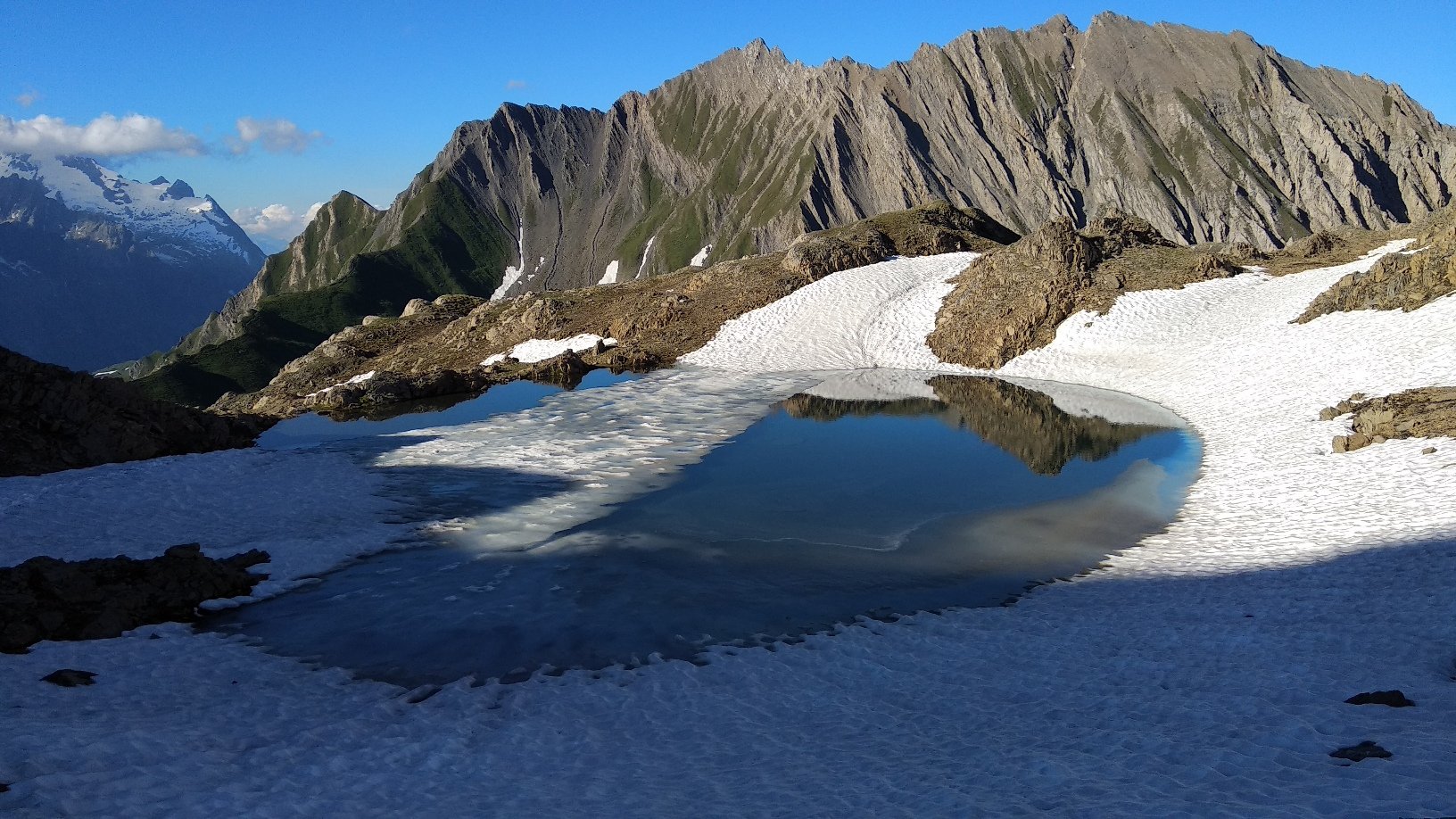
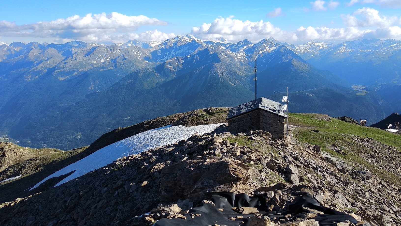
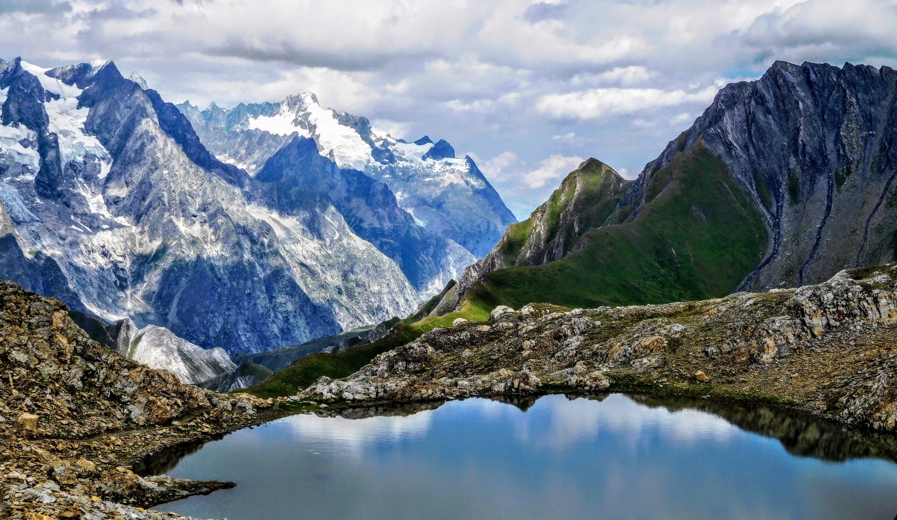
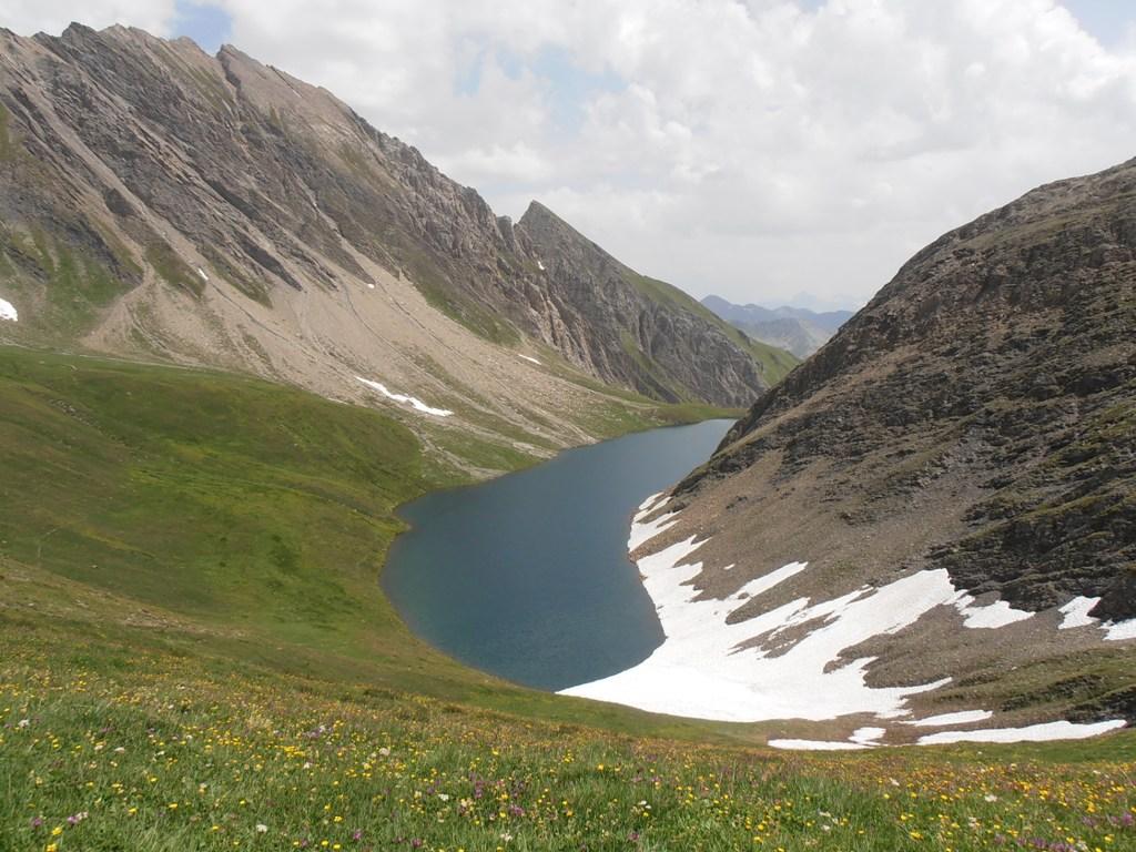
Per chi intende pernottare in cima al Bivacco Pascal, posto pochi metri sotto la cima: dotato di 12 posti letto, è presente un fornello per cucinare con bombola a gas e relative stoviglie. Non c'è acqua se non una cisterna per l'acqua piovana, il rifornimento può essere effettuato o al lago o meglio in un ruscello immissario nei pressi dell'Arp Damon, a 5 minuti dal colle scendendo verso il lago. Luce funzionante grazie a dei pannelli solari. Numerose coperte in buono stato.
Avvicinamento
Per chi intende pernottare in cima al Bivacco Pascal, posto pochi metri sotto la cima: dotato di 12 posti letto, è presente un fornello per cucinare con bombola a gas e relative stoviglie. Non c'è acqua se non una cisterna per l'acqua piovana, il rifornimento può essere effettuato o al lago o meglio in un ruscello immissario nei pressi dell'Arp Damon, a 5 minuti dal colle scendendo verso il lago. Luce funzionante grazie a dei pannelli solari. Numerose coperte in buono stato.
.
Descrizione
Dalla frazione Pussey 1277 m si imbocca una strada sterrata che sale in mezzo al bosco, dopo un centinaio di metri di dislivello si interseca la strada asfaltata che va in direzione dell’Ermitage, la si segue brevemente fino a che in corrispondenza di una curva si prende nuovamente uno sterrato dal quale si devia poco dopo sulla sx in corrispondenza di un cartello di legno (La Suche) su sentiero segnalato (39). Si prosegue fino ad incontrare il sentiero 40 proveniente dall’Ermitage 1550 m.
Si prosegue lungo il sentiero e, tralasciando una deviazione per Tirecorne desot, si giunge a La Suche dove si trova un posto tappa 1810 m.
Si seguono le indicazioni e si inizia a salire (sentiero 40), si tralascia un primo bivio nuovamente per Tirecorne 1938 m e se ne raggiunge un altro 2060 m, (indovinate verso dove? Tirecorne, ovviamente!), dove si gira decisamente verso nord sul sentiero 44.
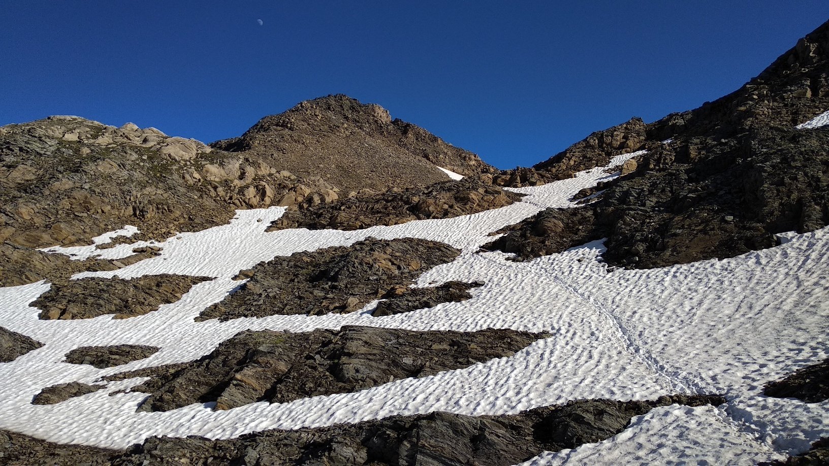
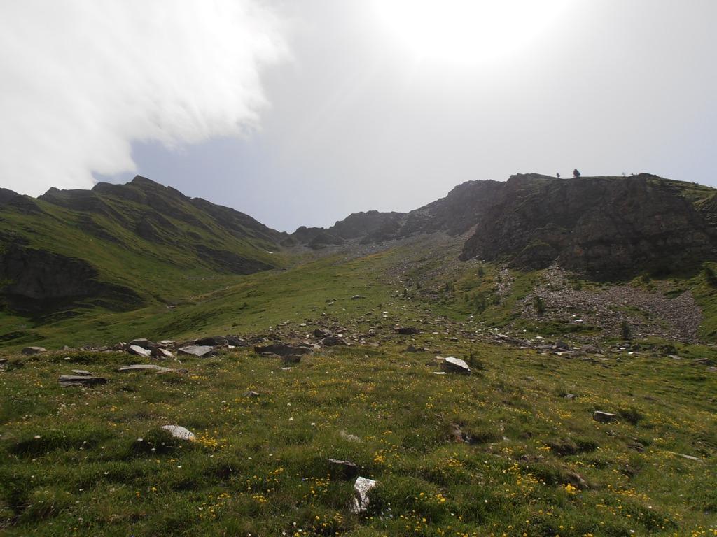
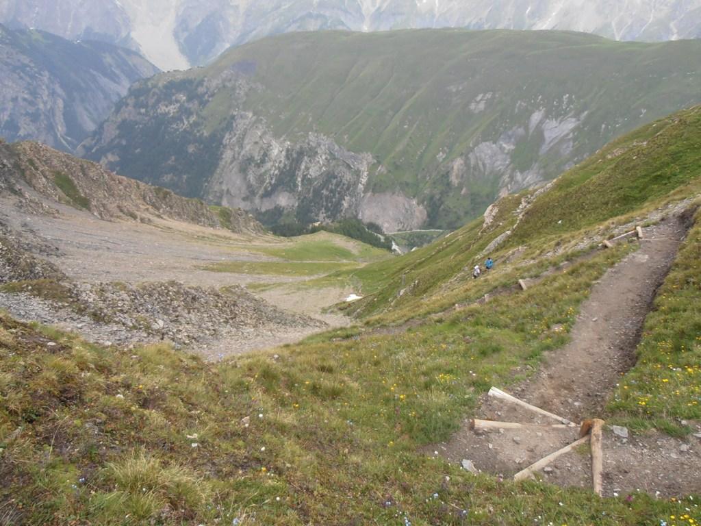
Con un lunghissimo traverso ascendente si interseca il sentiero che unisce Tsapy (fondovalle dela Val Sapin) con il Col Liconi 2449 m che si raggiunge con un bellissimo sentiero molto ripido. Dal colle 2682 m per bellissima traccia fino in vetta 2929 m.
- Cartografia:
- Monte Bianco - L'escursionista Editore - N. 1
Nelle vicinanze Mappa
Itinerari
12/07/2025 AO, Courmayeur D+ 9300 m E Tutte
Monte Bianco (Giro del) da Courmayeur, giro antiorario (4 gg)
 0m
0m
13/08/2023 AO, Courmayeur D+ 1515 m EE/F Varie
Cormet (Mont) da Courmayeur, traversata a Morgex
 0m
0m
01/07/2026 AO, Courmayeur D+ 3750 m EE Varie
Tor des Geants/Giro dei Giganti Tappa 1: Courmayeur – Valgrisenche
0m
29/06/2025 AO, Courmayeur D+ 2382 m E Varie
Giro del Monte Bianco da Courmayeur a La Fouly
 0m
0m
26/07/2024 AO, Courmayeur D+ 1616 m E Varie
Berrio Blanc (Colle del) da Dolonne, anello per Col de la Seigne, Col des Charmonts e Mont Fortin
 750m
750m
26/04/2012 AO, Courmayeur D+ 868 m E Sud
Courba Dzeleuna da Dolonne
 750m
750m
12/09/2018 AO, Courmayeur D+ 1440 m E Tutte
Arp (Col d’) da Dolonne, anello per Colle di Youla e discesa per la Val Veny
 750m
750m
23/06/2009 AO, Courmayeur D+ 1450 m E Nord-Est
Youla (Col di) da Dolonne
 750m
750m
10/08/2013 AO, Courmayeur D+ 1536 m E Varie
Arp (Testa d’) da Dolonne
 750m
750m
12/08/2025 AO, Courmayeur D+ 1200 m EEA Sud-Est
Chetif (Mont) da Courmayeur per il sentiero attrezzato del Bicentenario CHIUSO PER MANUTENZIONE agosto 2025
 850m
850m