3.4Km
3.4Km


Note
 550m
550m
550m
550m
1.5Km
1.5Km
1.5Km
1.5Km
1.8Km
550m
550m
550m
550m
1.5Km
1.5Km
1.5Km
1.5Km
1.8Km
Tranquillo anello su sentieri molto ben segnati e panoramici. Adatto alle famiglie, anche se il tratto dal bivio a Tirecorne è abbastanza ripido e faticoso.
Avvicinamento
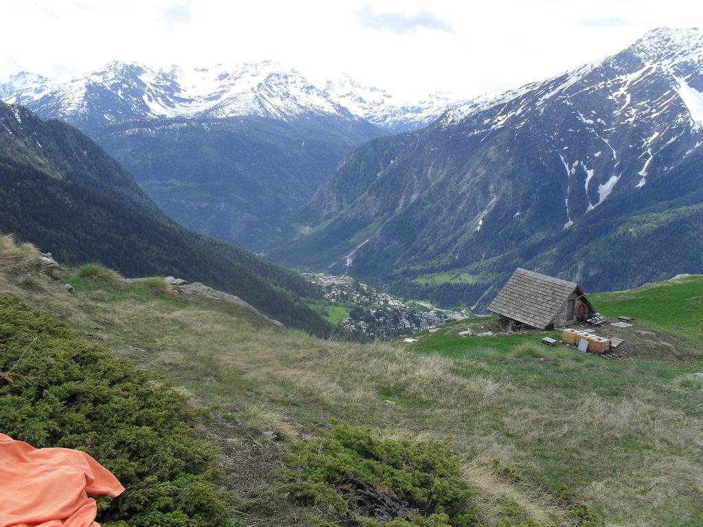
Si arriva a Courmayeur e si prende la strada per Villair. Si svolta a sx per Ermitage e si parcheggia nei piazzali dove termina la strada asfaltata.
Descrizione
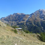
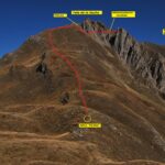
Dal parcheggio (segnali) si prende il sentiero 39/40 che sale nel bosco fino ad un bivio dove si svolta sul sentiero 39 per Tirecorne. Il sentiero sempre evidente diventa ora un po’ più ripido e faticoso fino al bellissimo villaggio di Tirecorne (baite ristrutturate e incantevole vista sulla catena del Bianco). Dal villaggio si prende ora il sentiero 40 che in leggera discesa porta a La Suche dove è situato il posto tappa Alessio Allegri (chiuso). Si prosegue sul sentiero fino alla partenza completando l’anello.
Nelle vicinanze Mappa
Itinerari
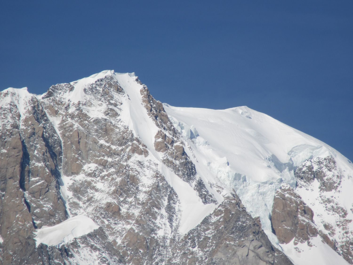
08/11/2024 AO, Courmayeur D+ 1530 m EE Ovest
Liconi (Testa di) da Villair per la Val Sapin
 550m
550m
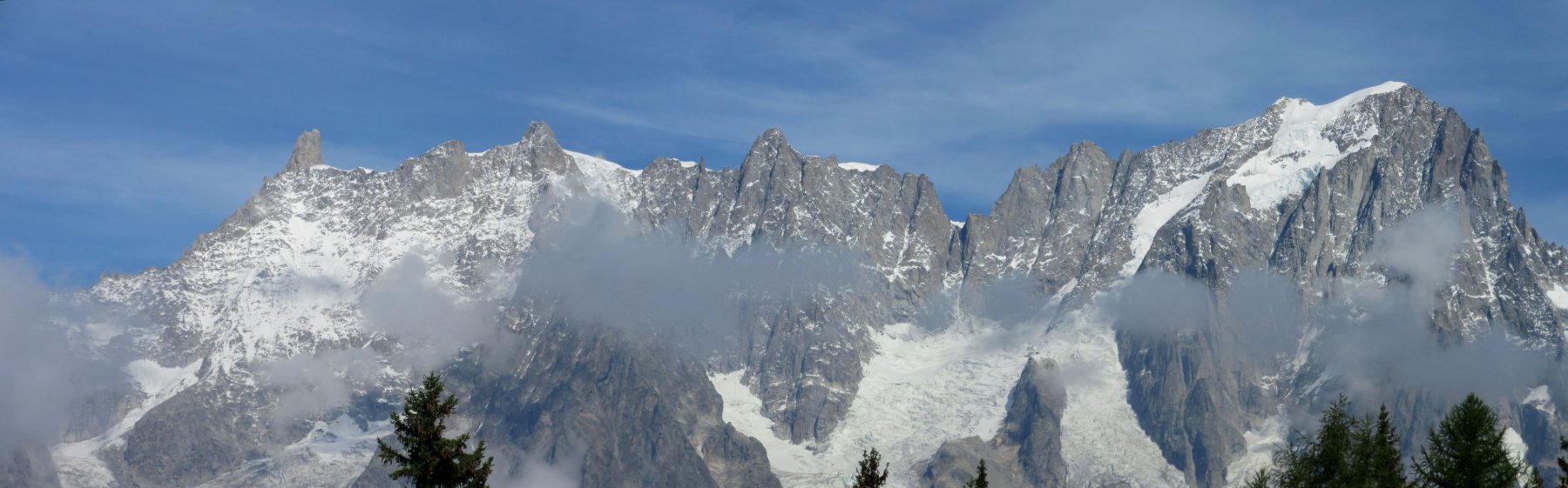
20/07/2025 AO, Courmayeur D+ 1355 m E Sud
Tronche (Testa della) e Testa Bernarda da Villair, anello per i Monts de la Saxe e Col Sapin
 550m
550m
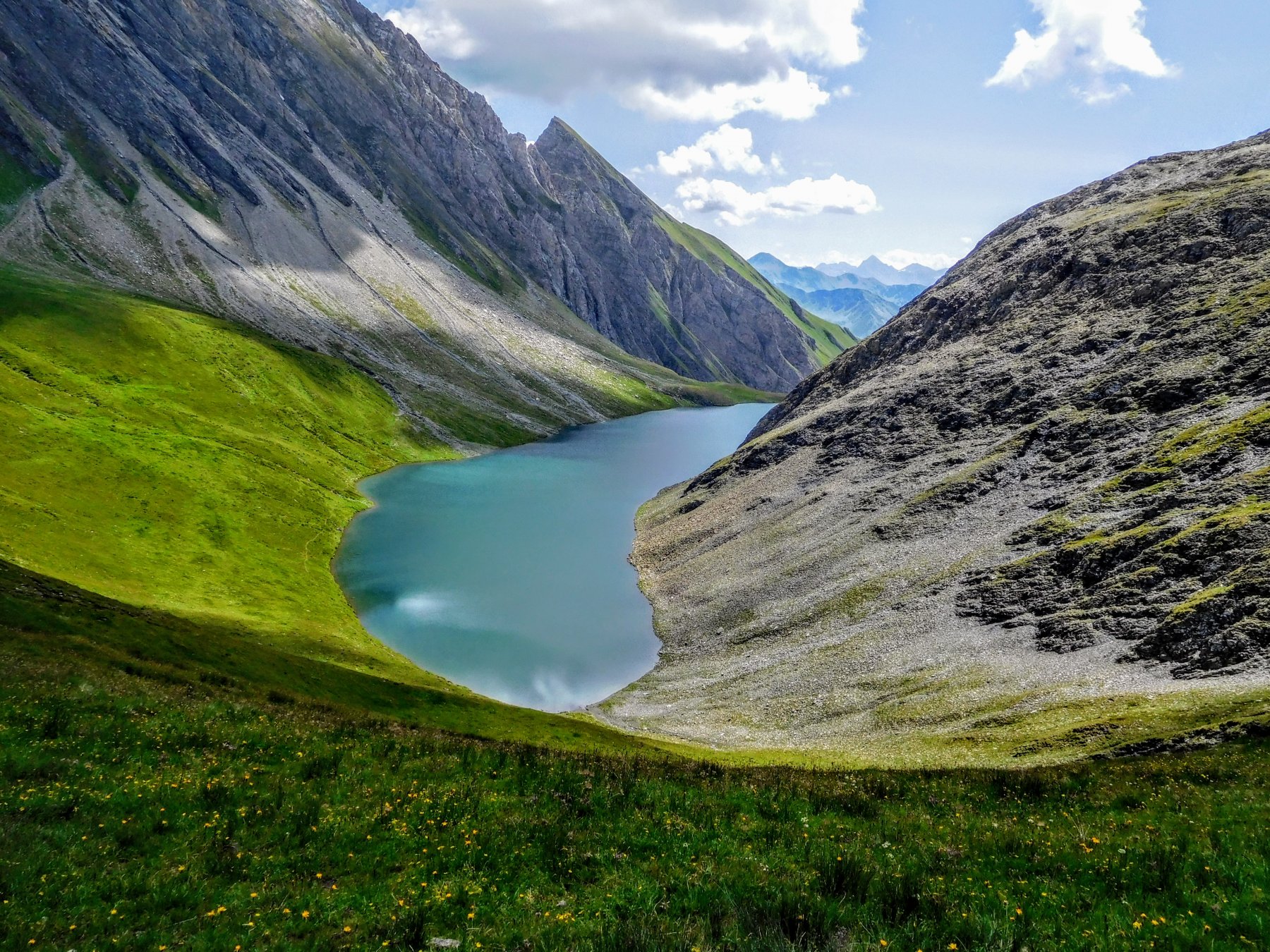
29/10/2023 AO, Courmayeur D+ 1300 m E Tutte
Tronche (Testa della) da Villair, anello della Val Sapin
 550m
550m
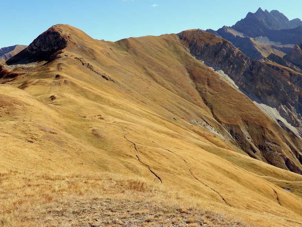
06/10/2025 AO, Courmayeur D+ 671 m E Sud
Bertone Giorgio (Rifugio) da Villair
 550m
550m
01/07/2026 AO, Courmayeur D+ 3750 m EE Varie
Tor des Geants/Giro dei Giganti Tappa 1: Courmayeur – Valgrisenche
1.5Km
10/07/2019 AO, Courmayeur D+ 1652 m E Nord-Ovest
Liconi (Testa di) da Courmayeur per la Val Sapin
 1.5Km
1.5Km
29/06/2025 AO, Courmayeur D+ 2382 m E Varie
Giro del Monte Bianco da Courmayeur a La Fouly
 1.5Km
1.5Km
12/07/2025 AO, Courmayeur D+ 9300 m E Tutte
Monte Bianco (Giro del) da Courmayeur, giro antiorario (4 gg)
 1.5Km
1.5Km
13/08/2023 AO, Courmayeur D+ 1515 m EE/F Varie
Cormet (Mont) da Courmayeur, traversata a Morgex
 1.5Km
1.5Km
30/08/2025 AO, Courmayeur D+ 1250 m EE Sud
Cormet (Mont) da Verrand
 1.8Km
1.8Km