250m
250m


Note
 50m
50m
3.7Km
3.7Km
3.7Km
3.7Km
3.7Km
3.7Km
3.7Km
4.8Km
50m
50m
3.7Km
3.7Km
3.7Km
3.7Km
3.7Km
3.7Km
3.7Km
4.8Km
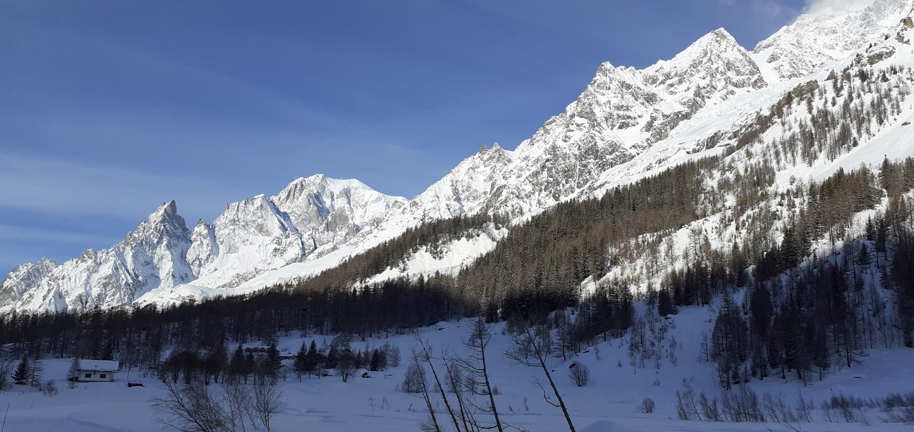
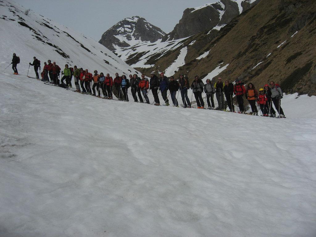
Si parte da Planpencieux (1550m) quando la strada non e' ancora aperta,in questo caso si segue la pista da fondo fino al villaggio di Lavachey calcolando dai 20 ai 40 minuti di percorrenza.
Avvicinamento
-
Descrizione
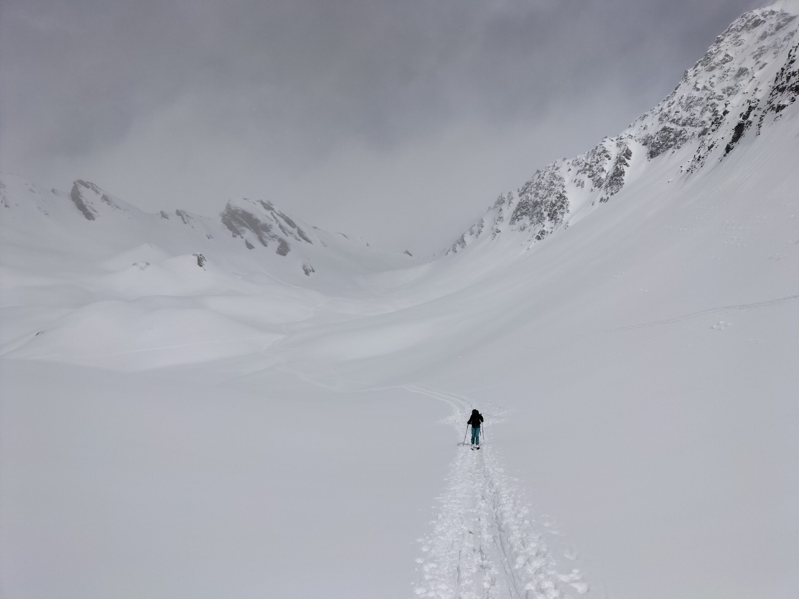
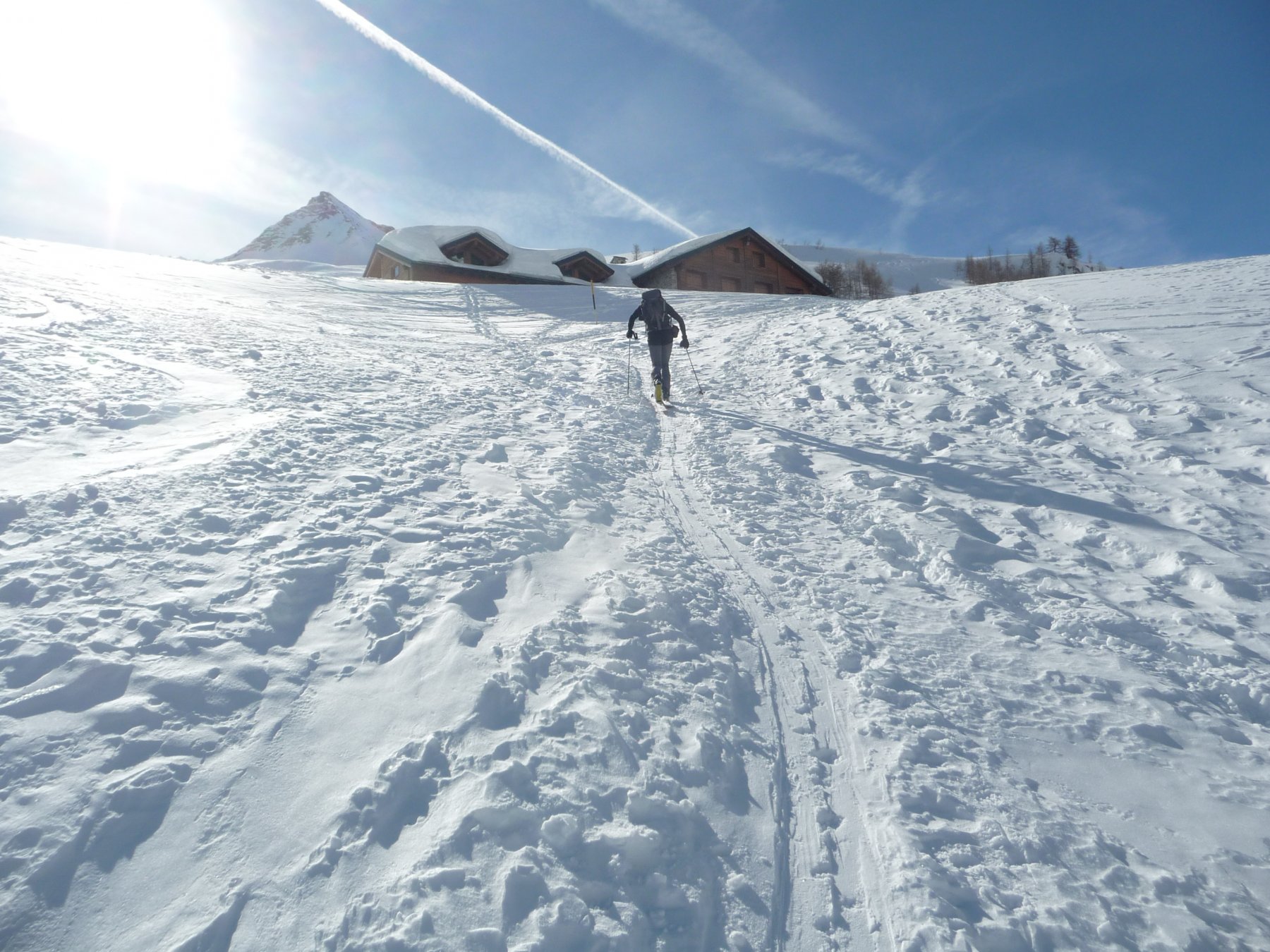
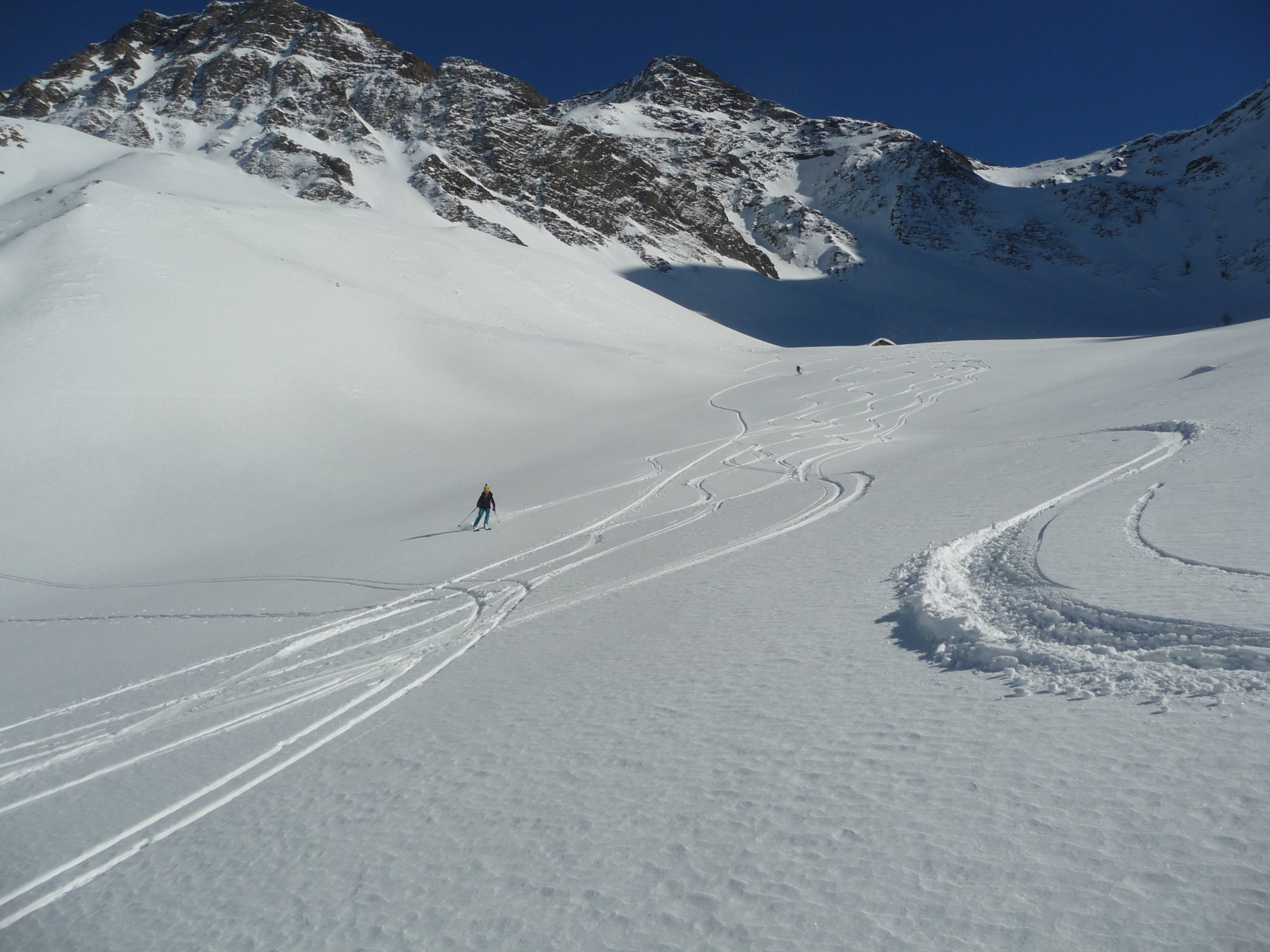
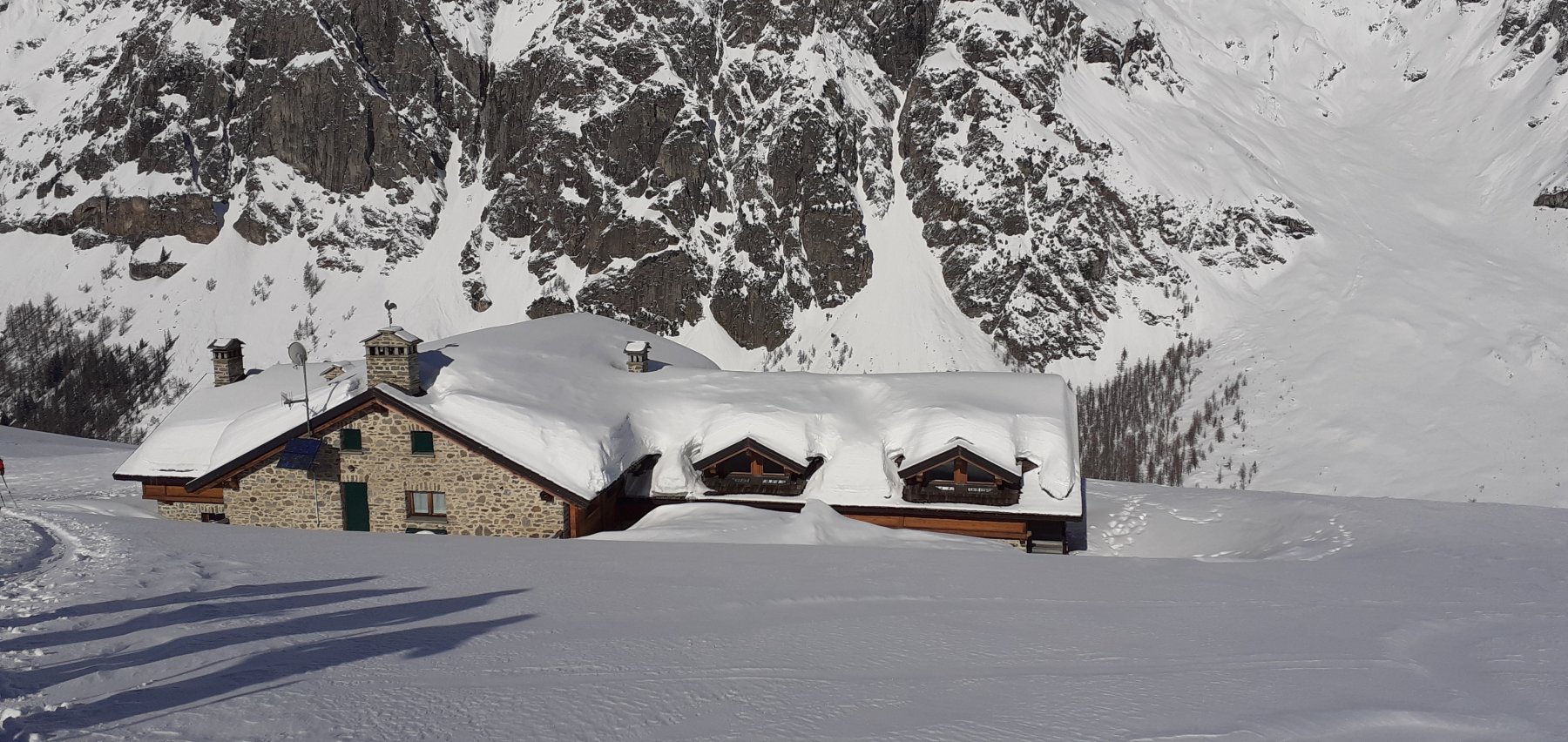
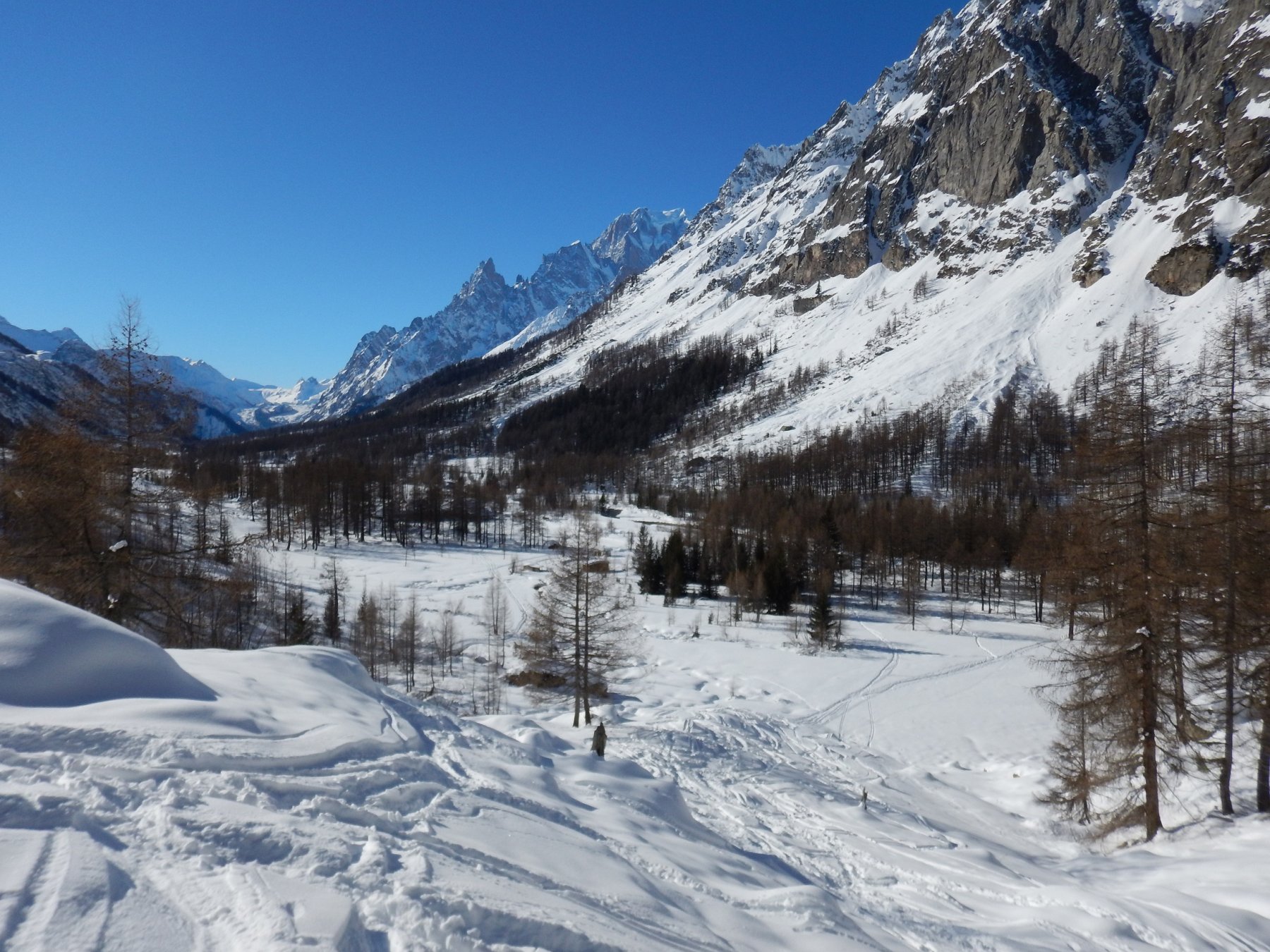
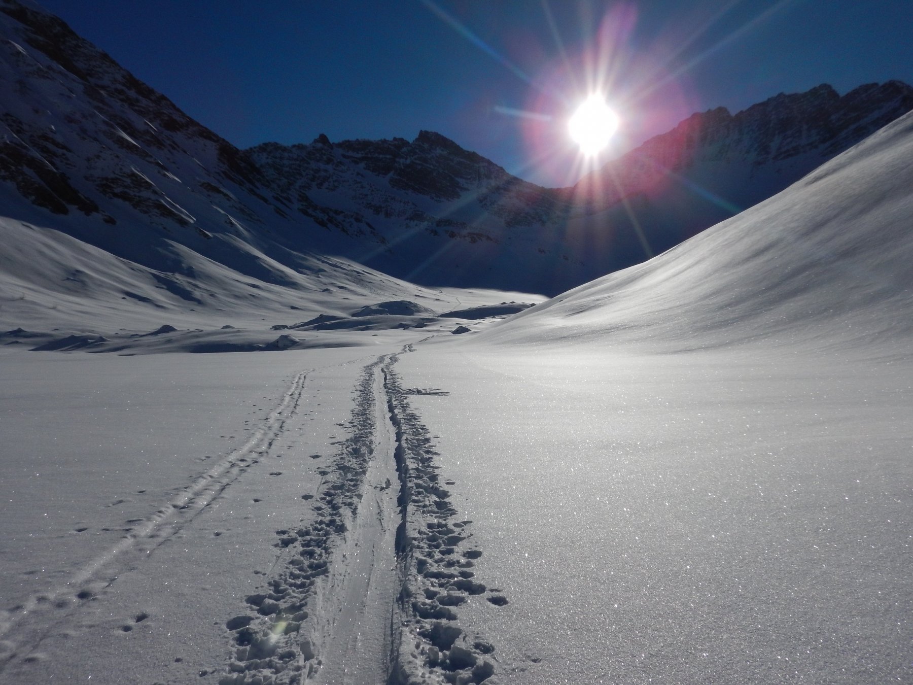
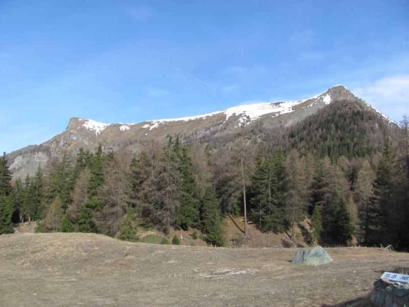
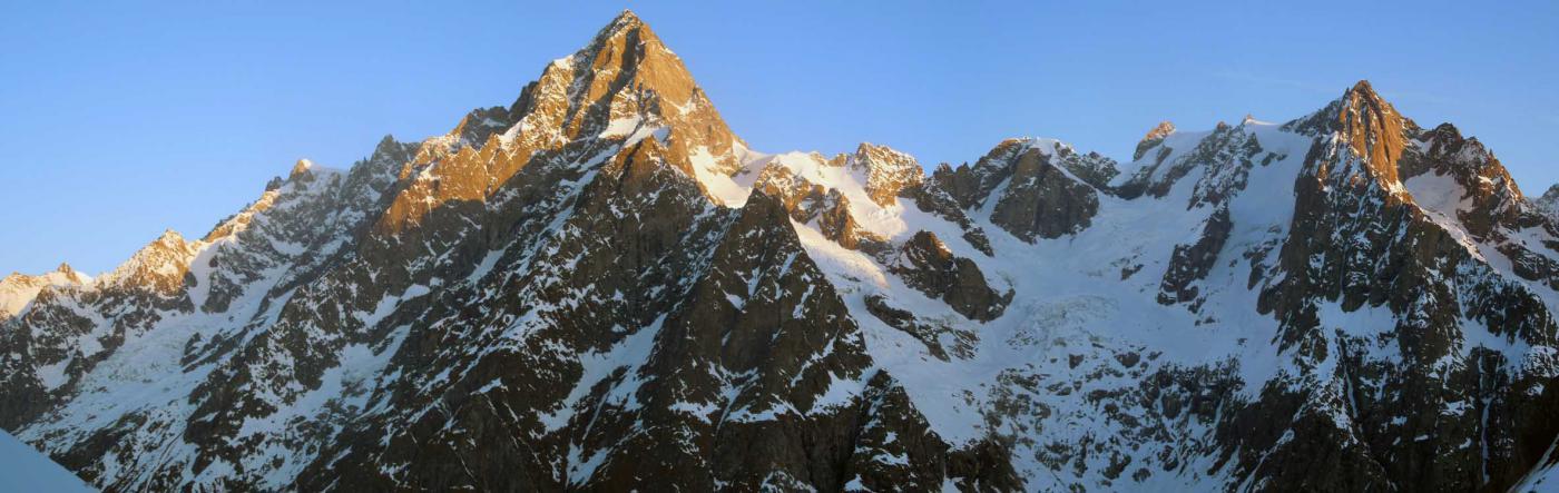
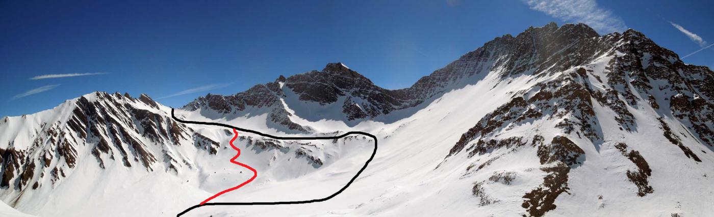
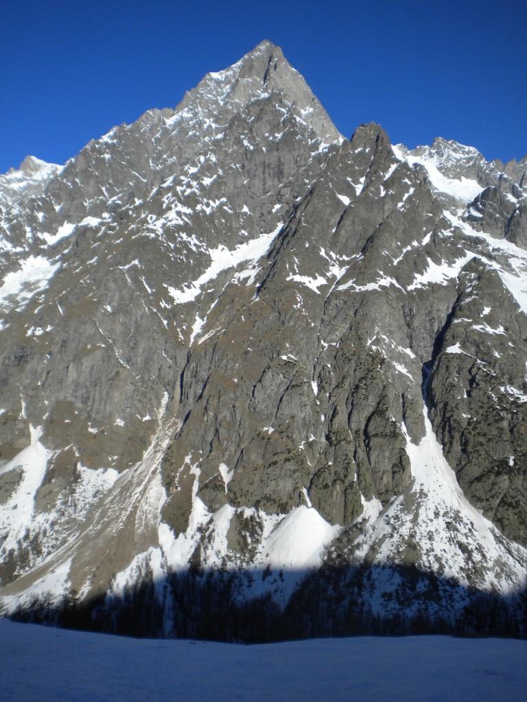
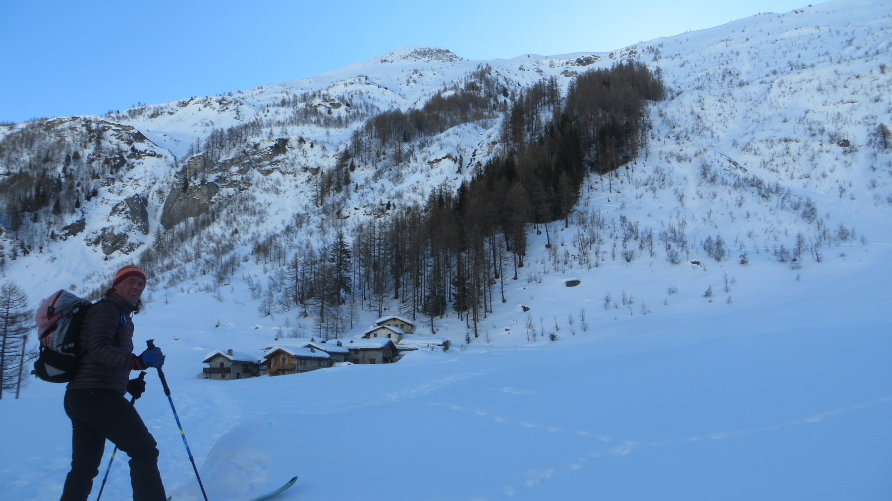
Dal villaggio di Lavachey (1642m) seguire il sentiero estivo e salire in direzione est passando nel bosco di larici fino a raggiungere il rifugio Bonatti (2025m).
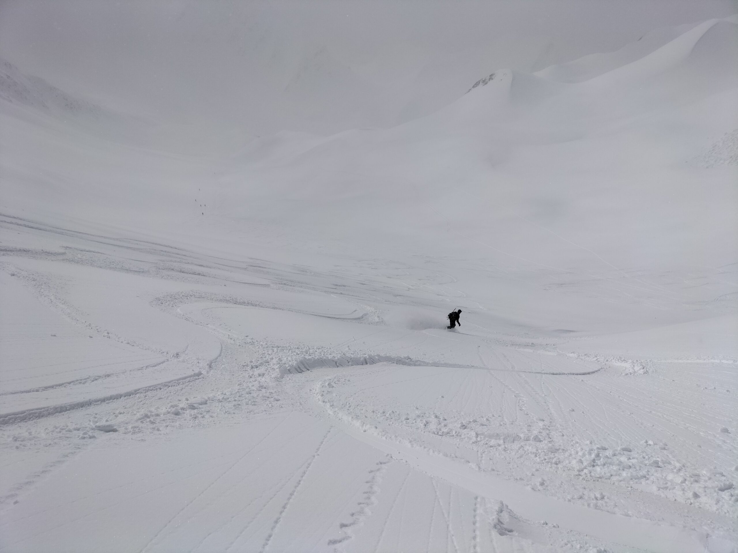
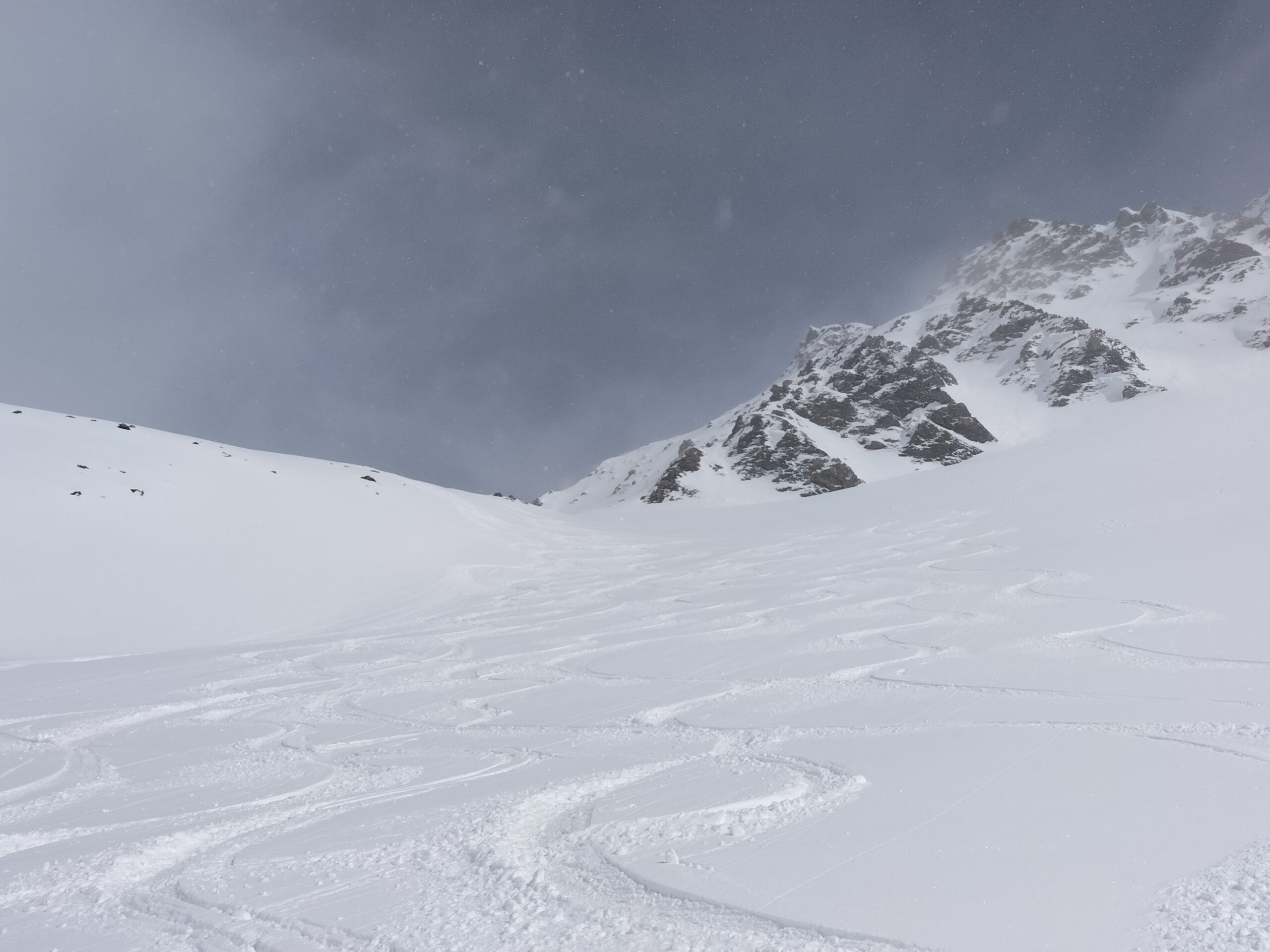
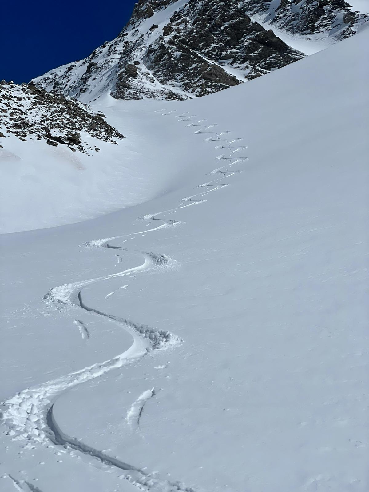
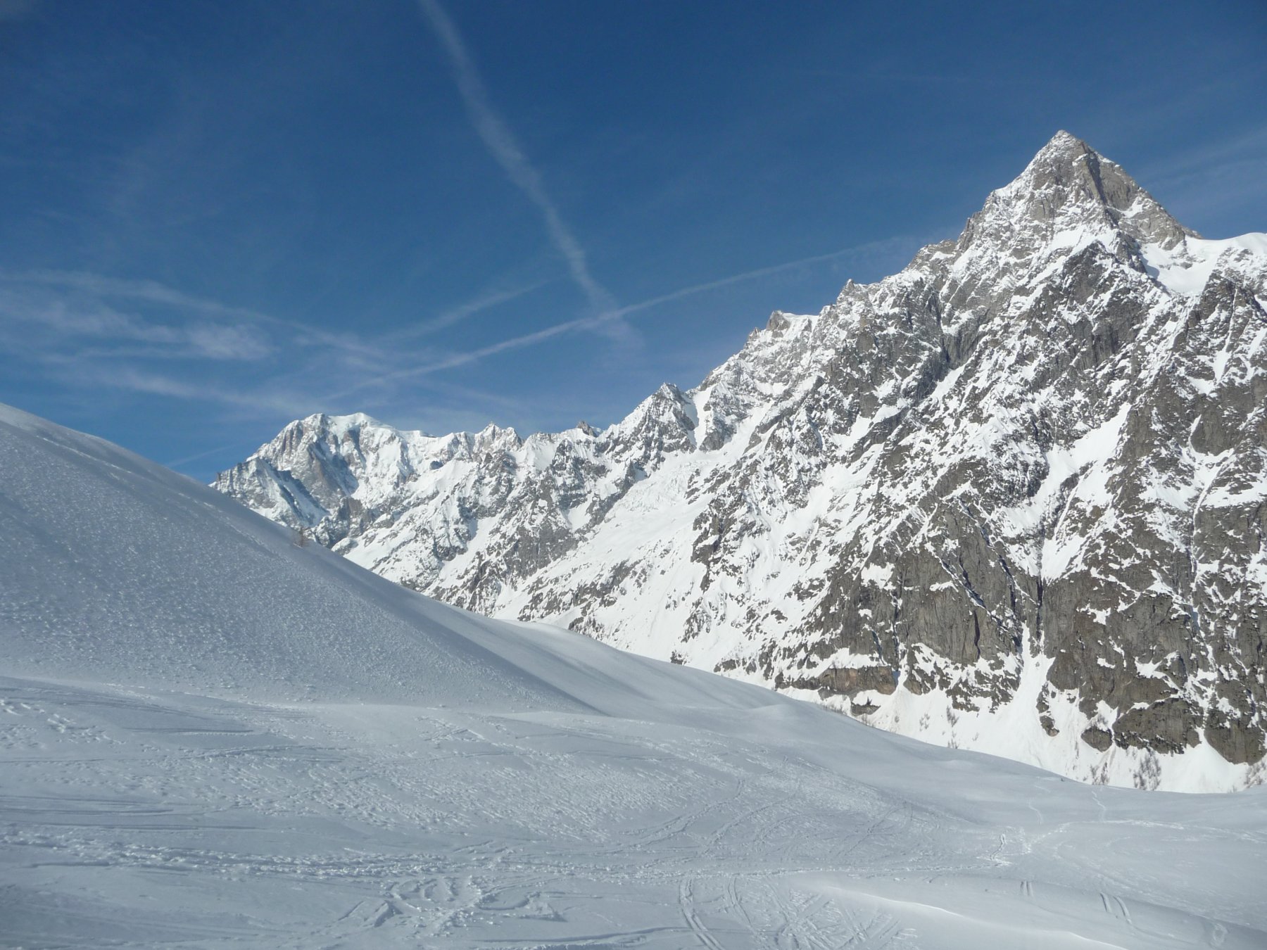
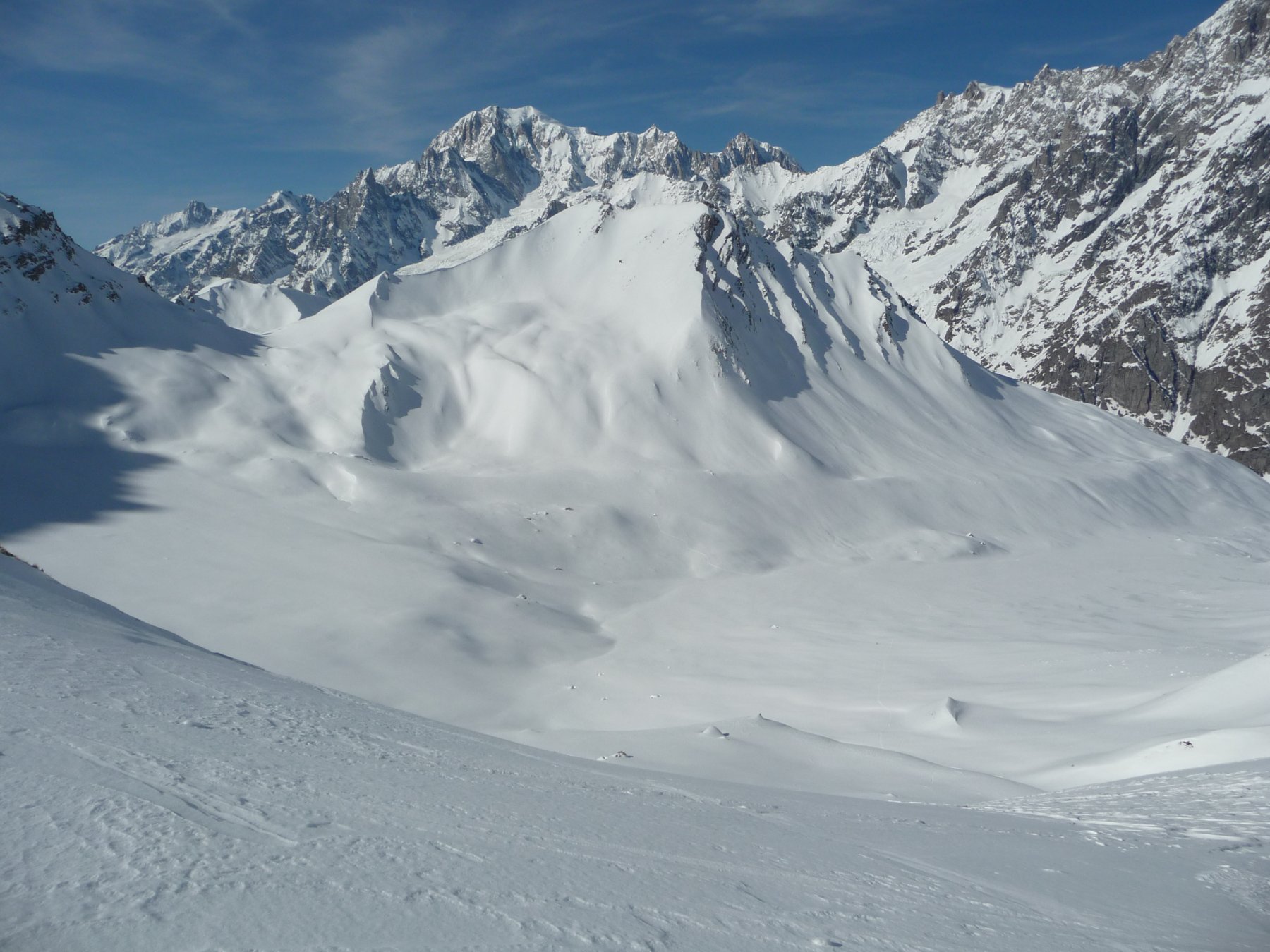
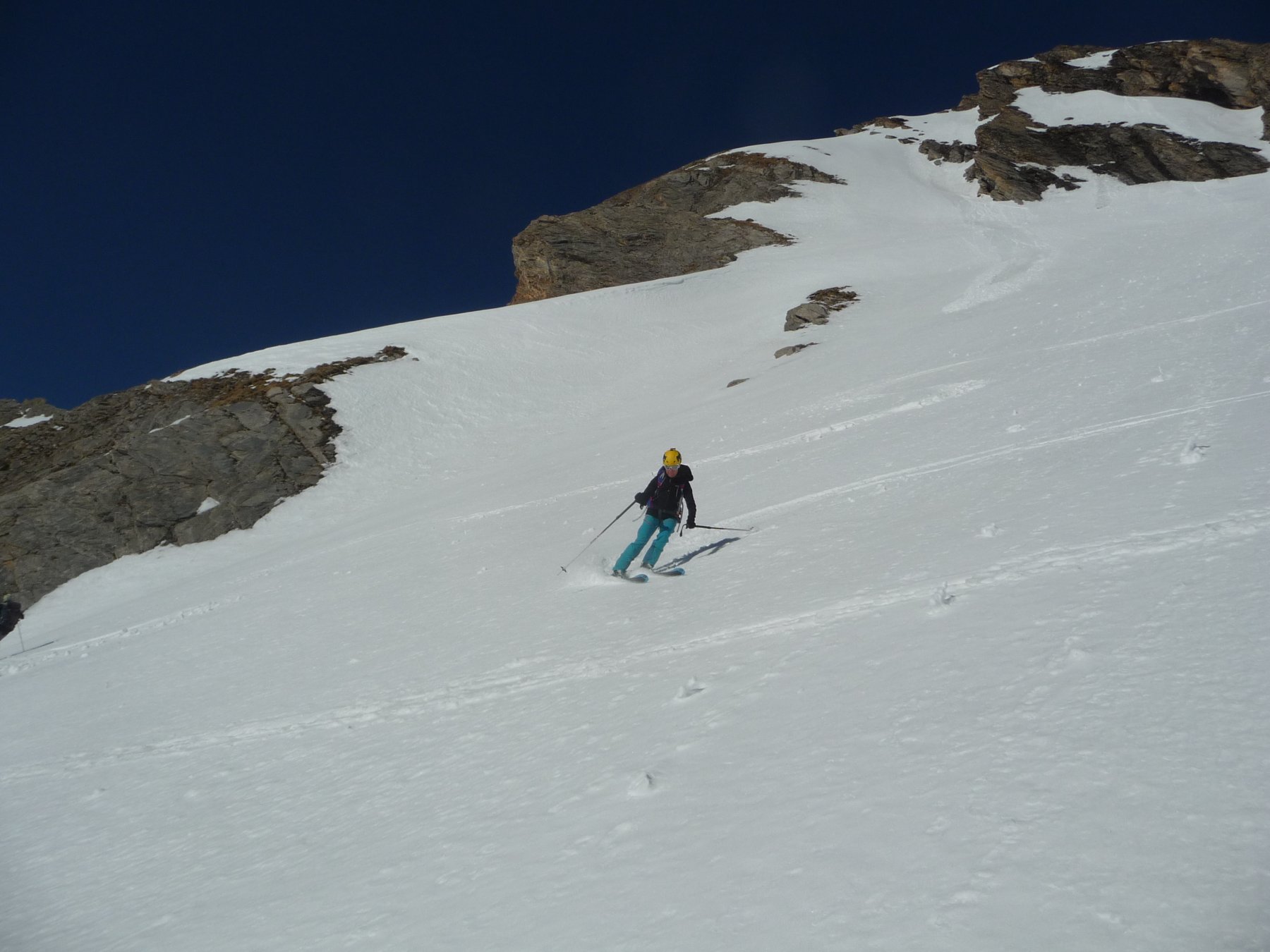
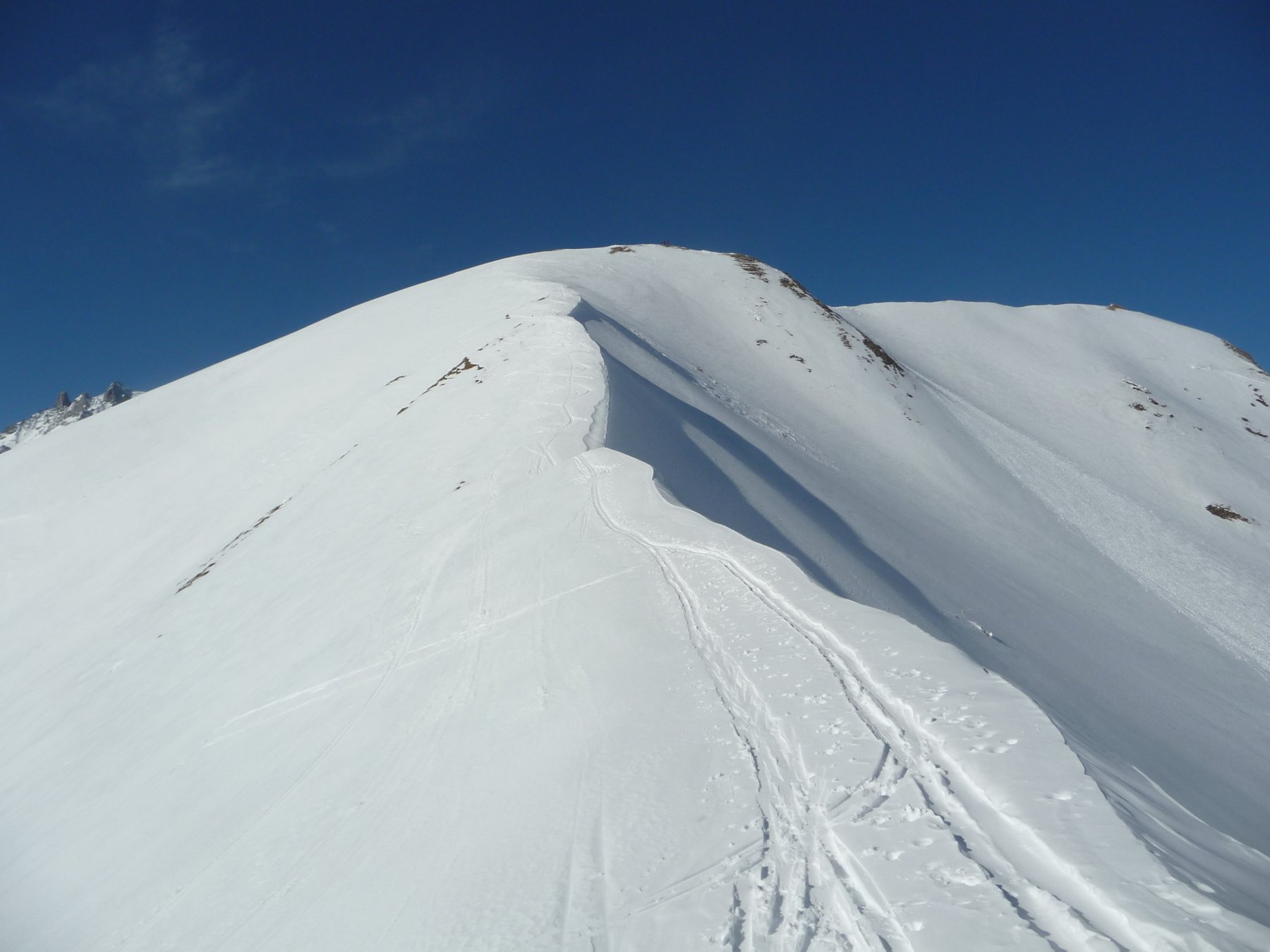
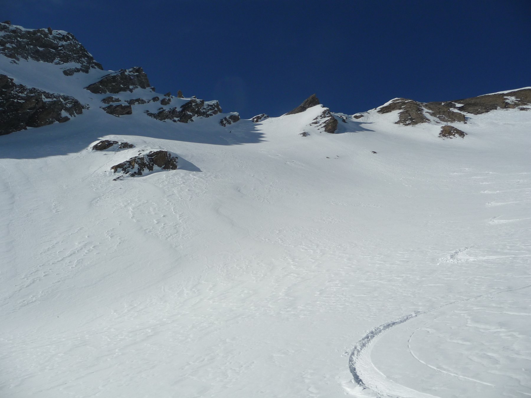
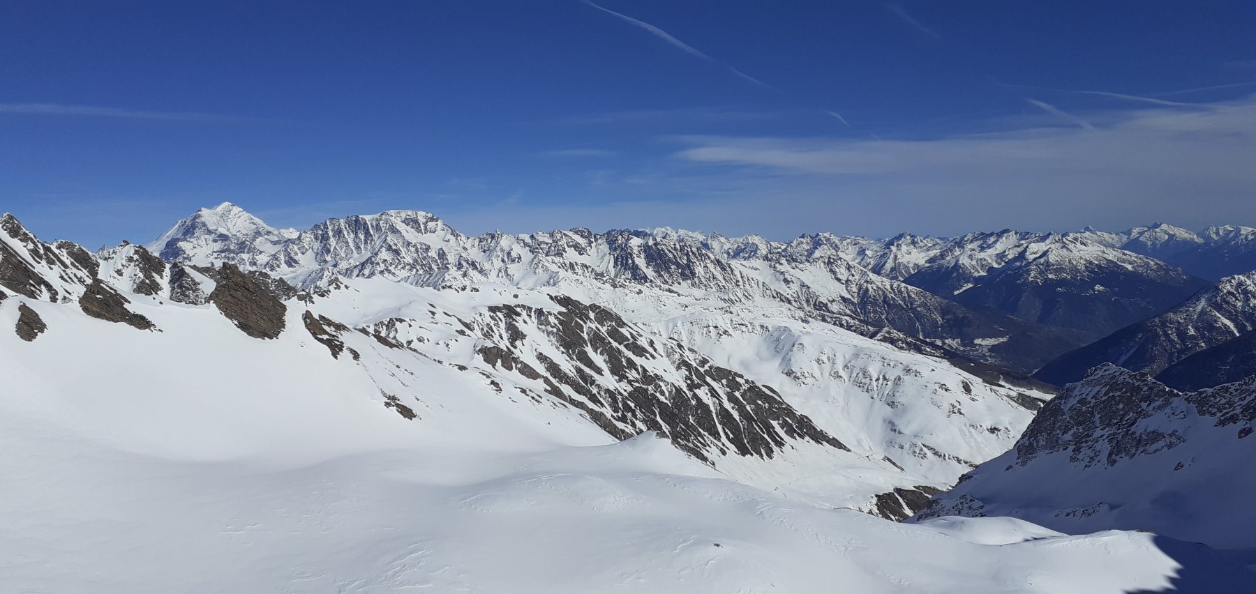
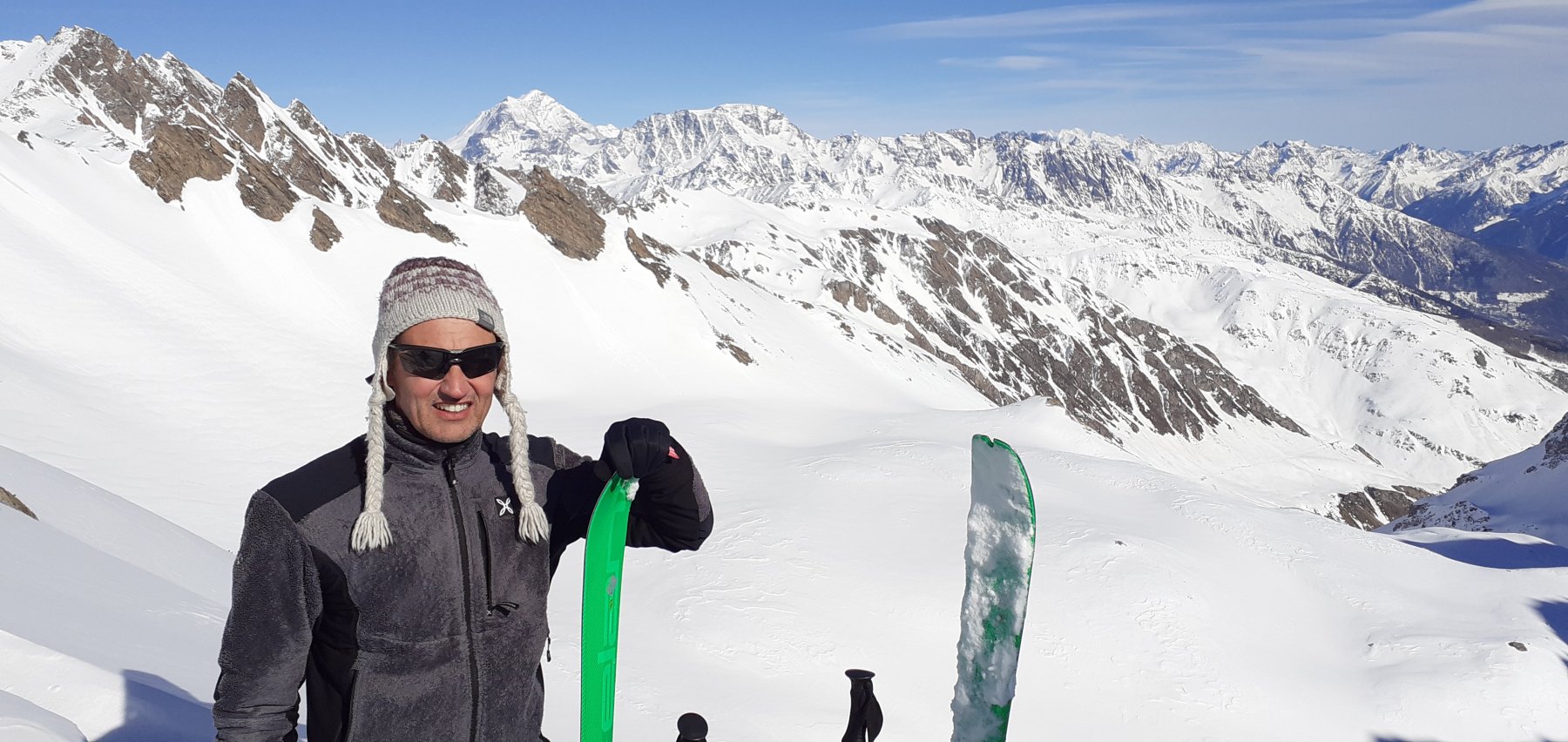
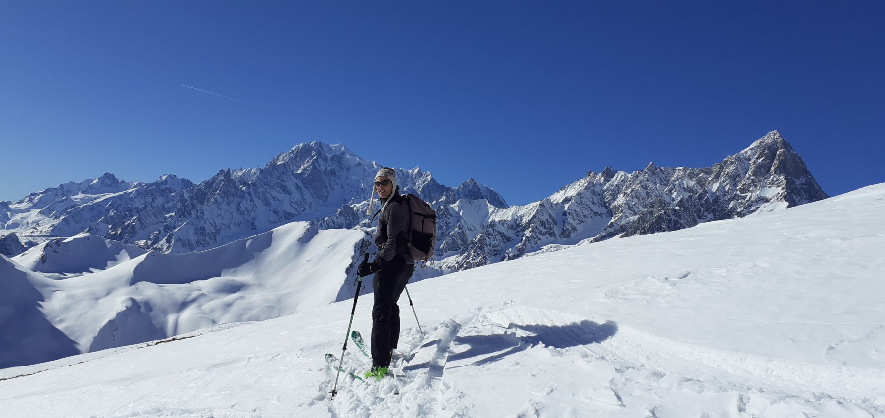
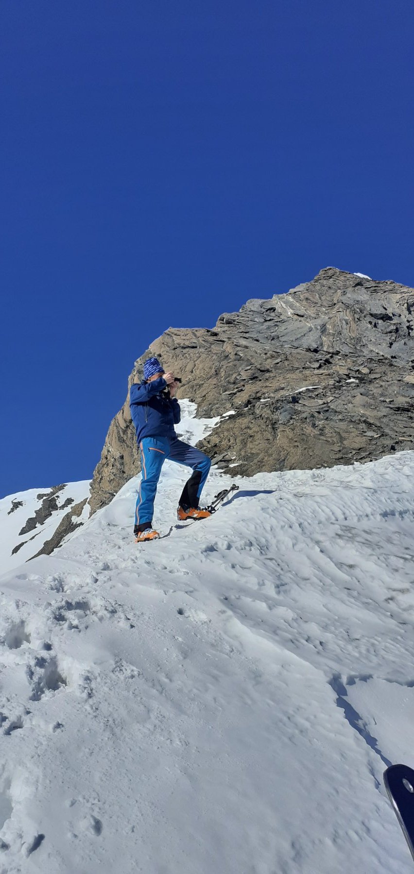
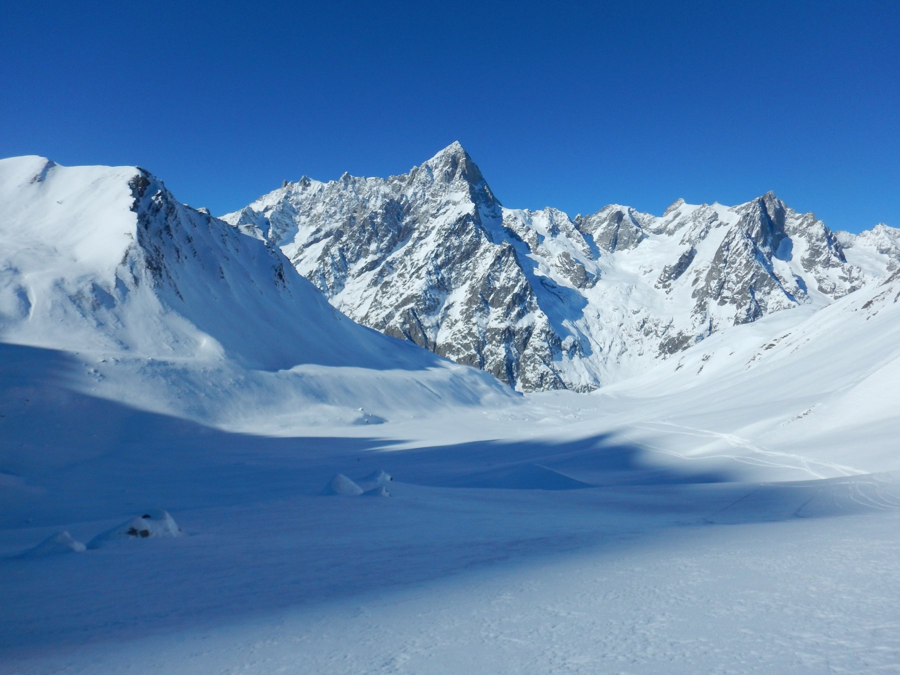
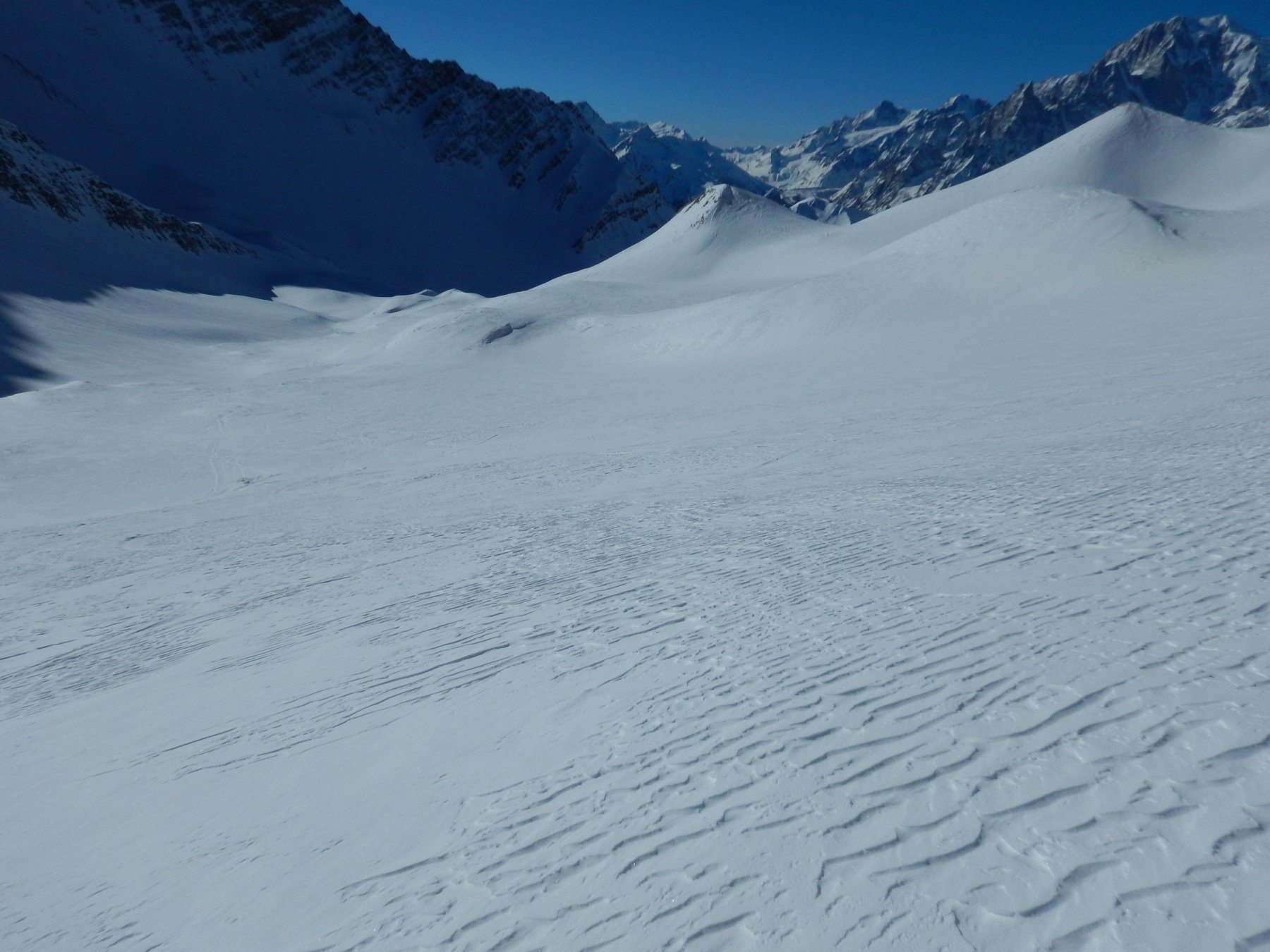
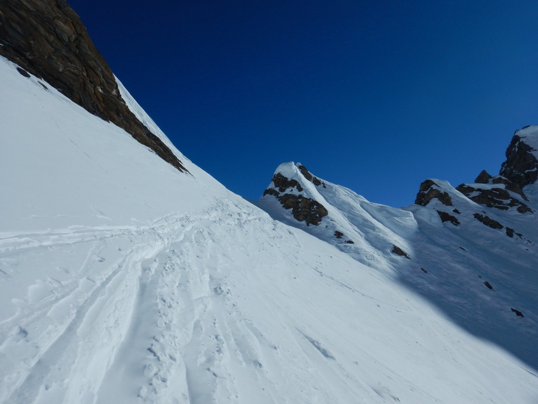
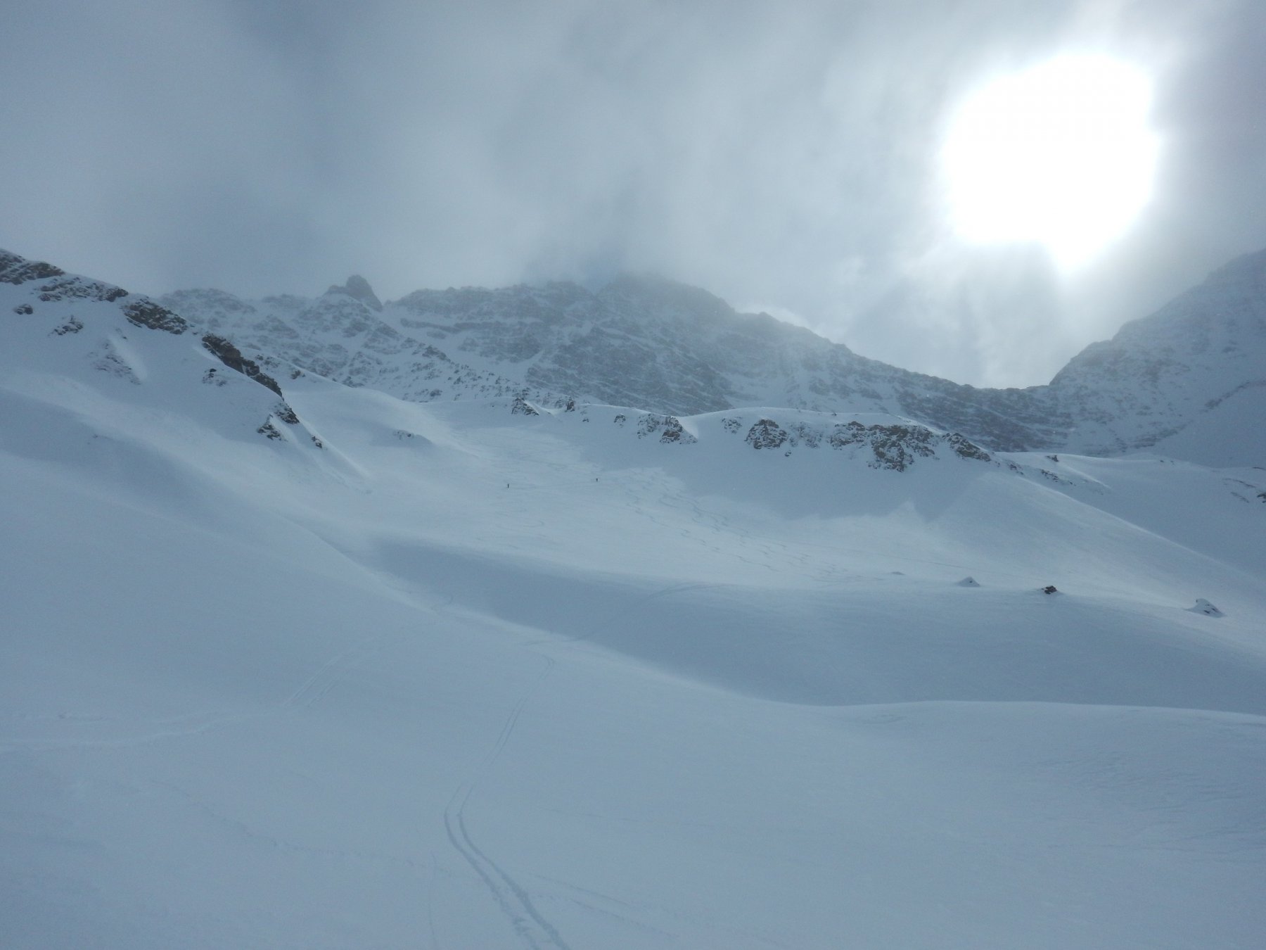
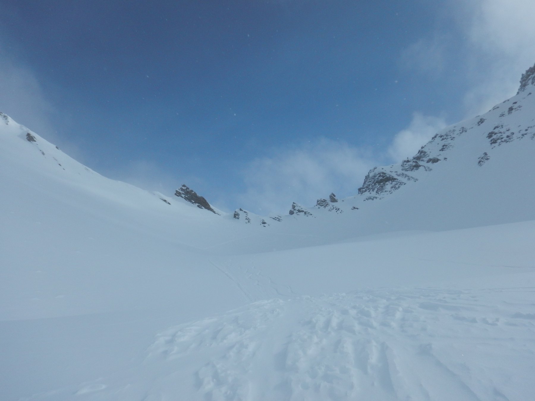
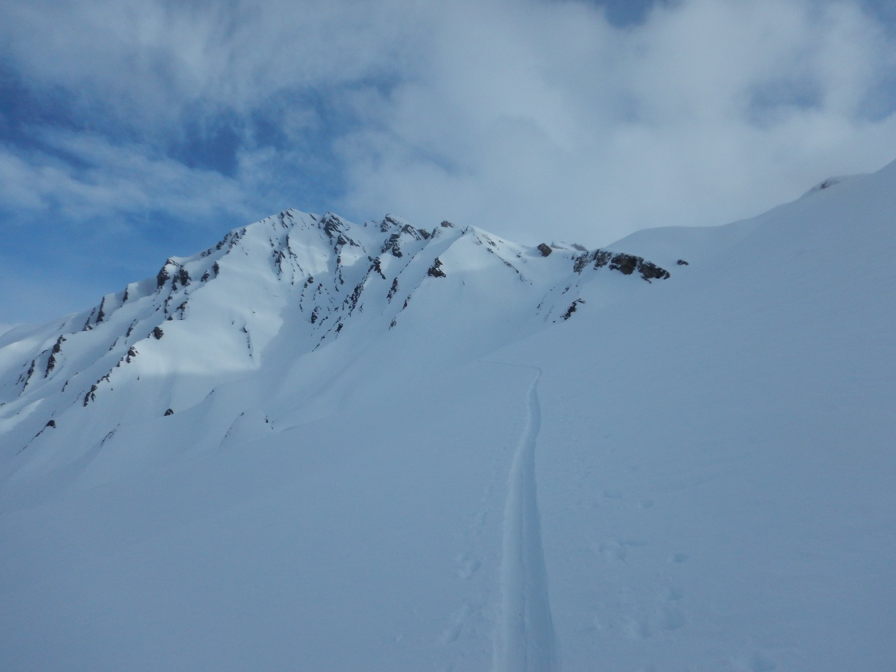
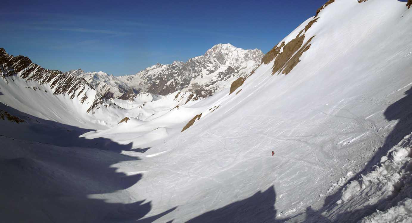
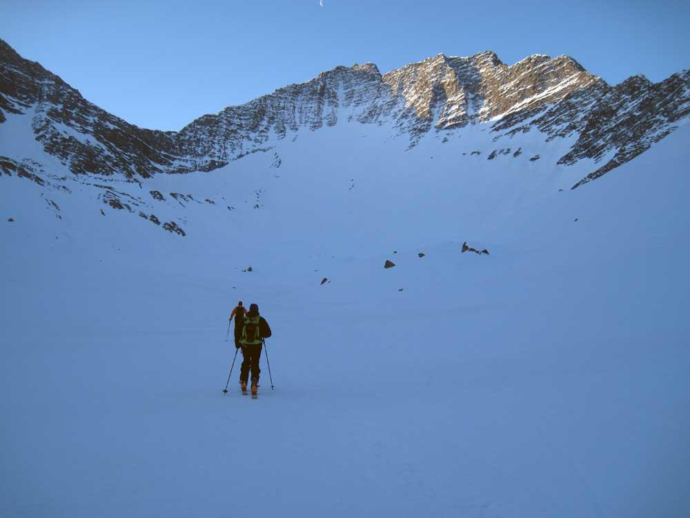
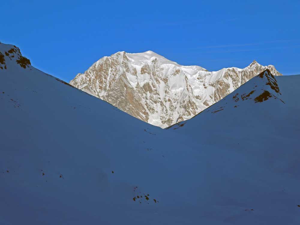
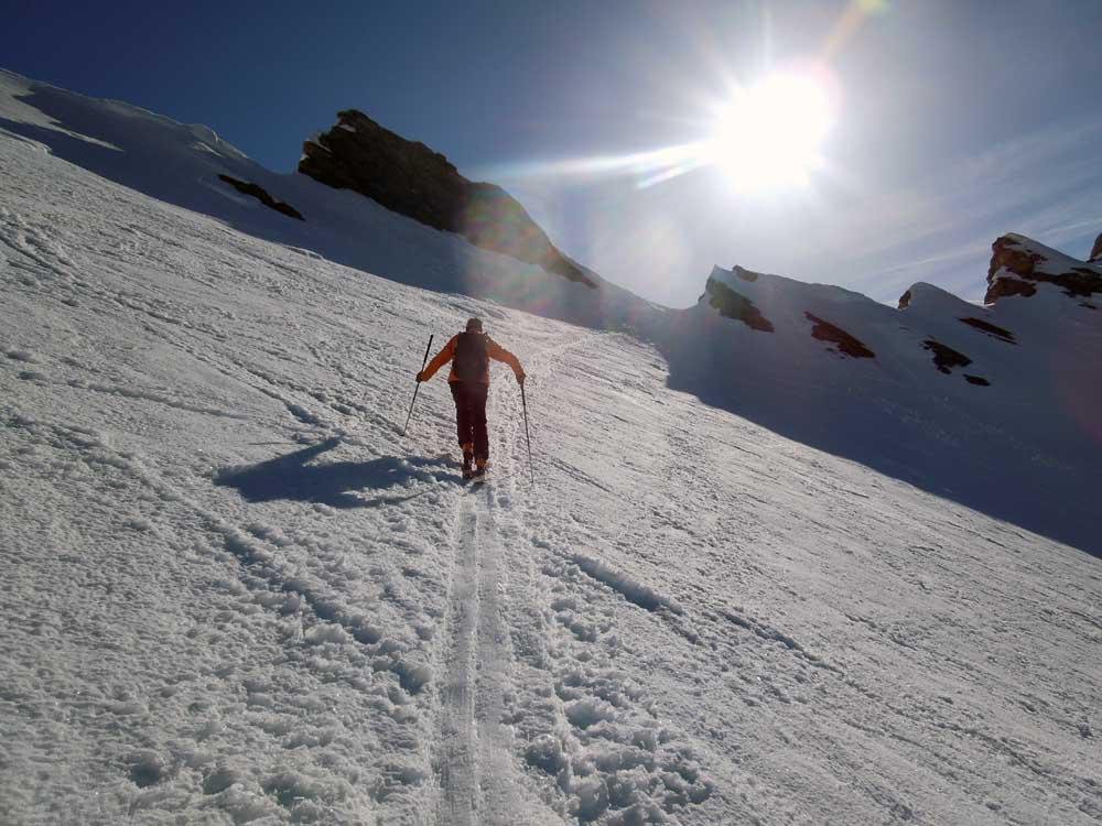
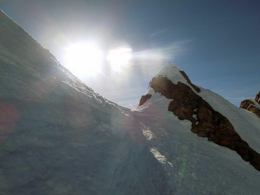
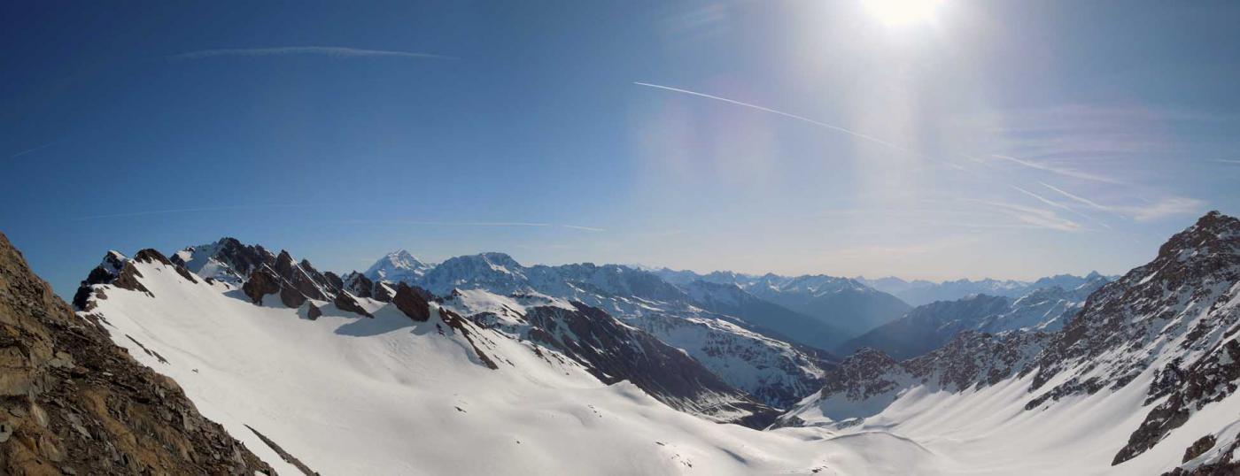
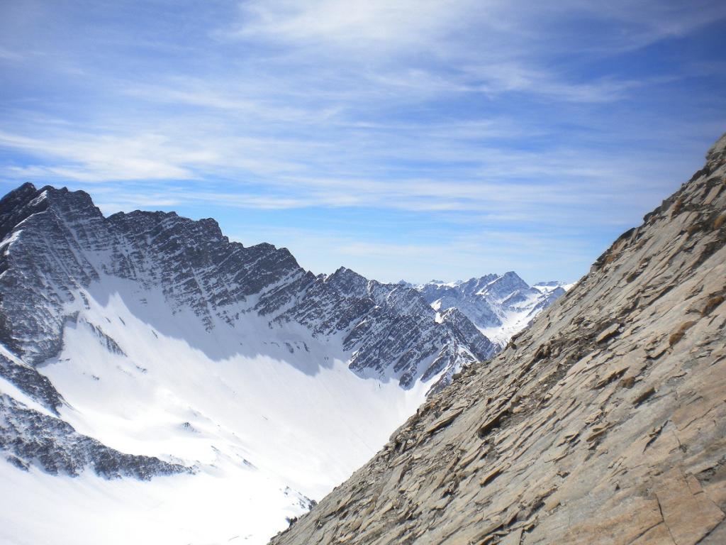
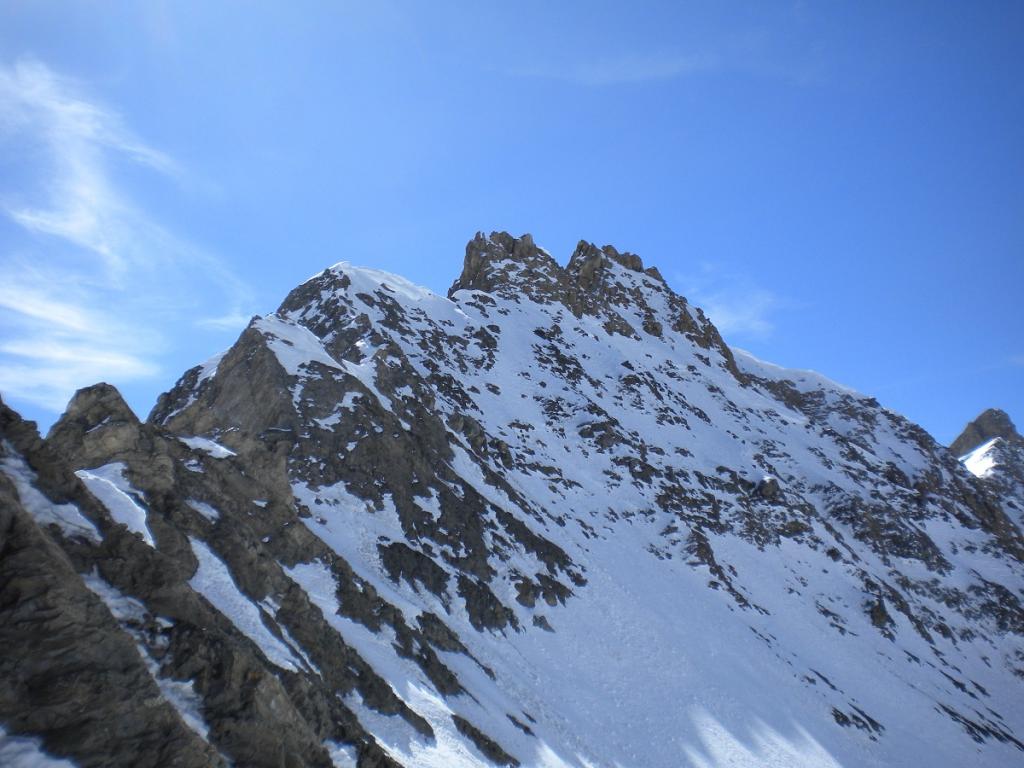
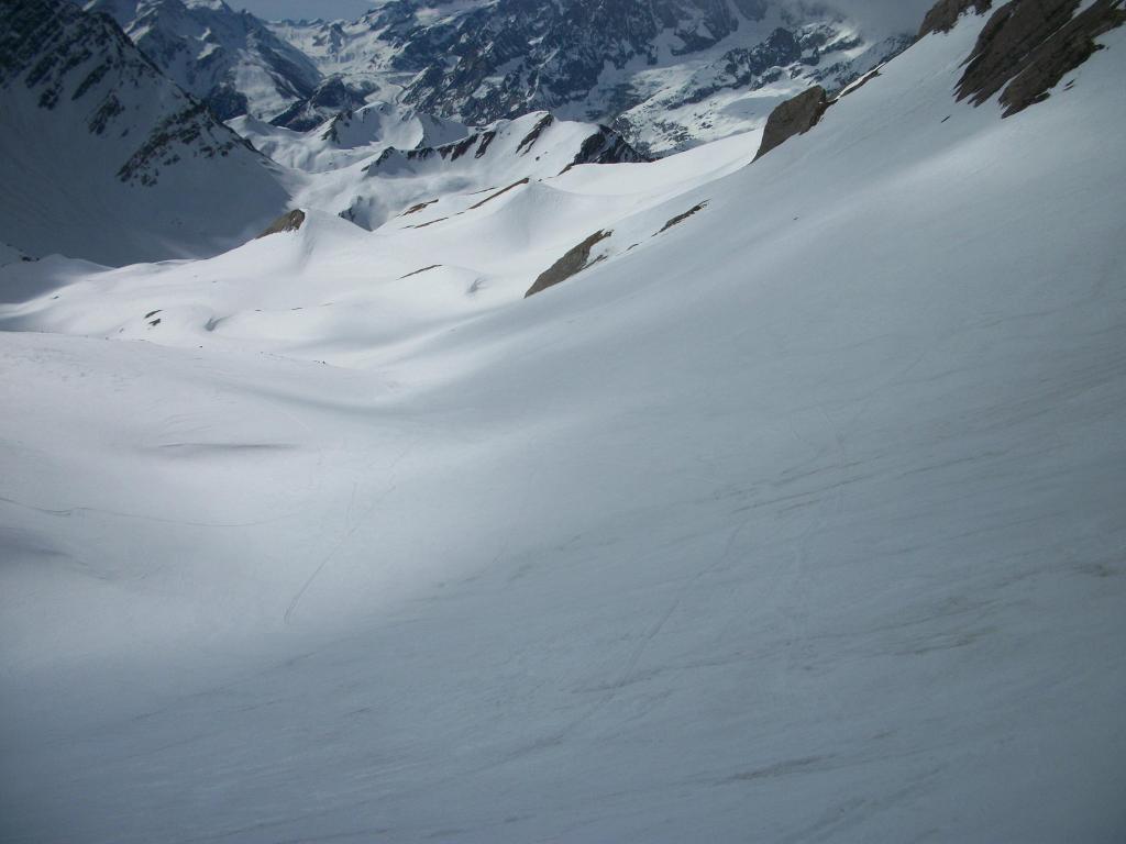
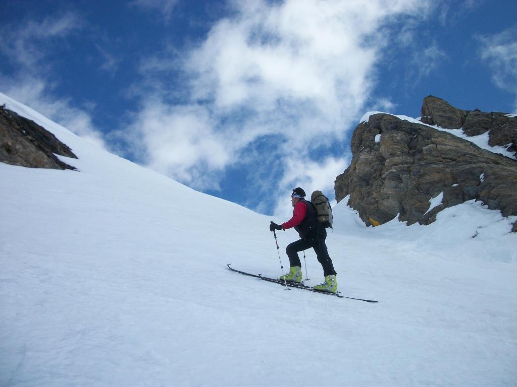
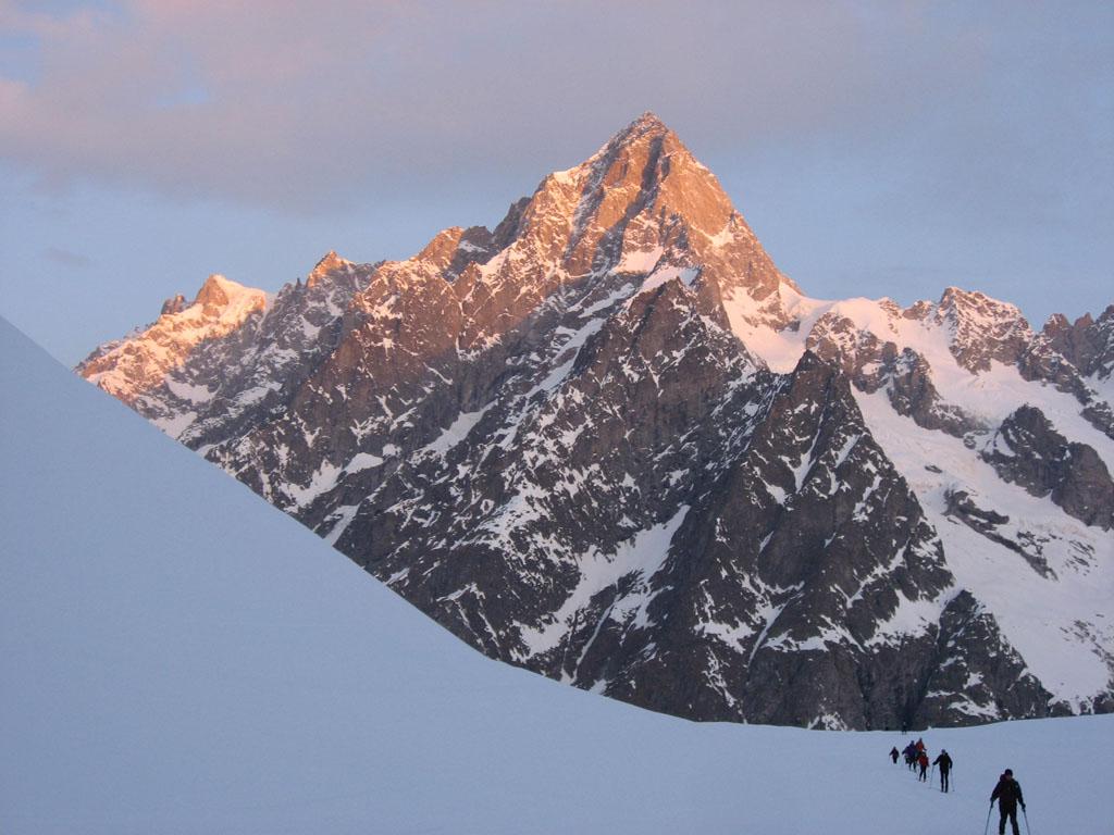
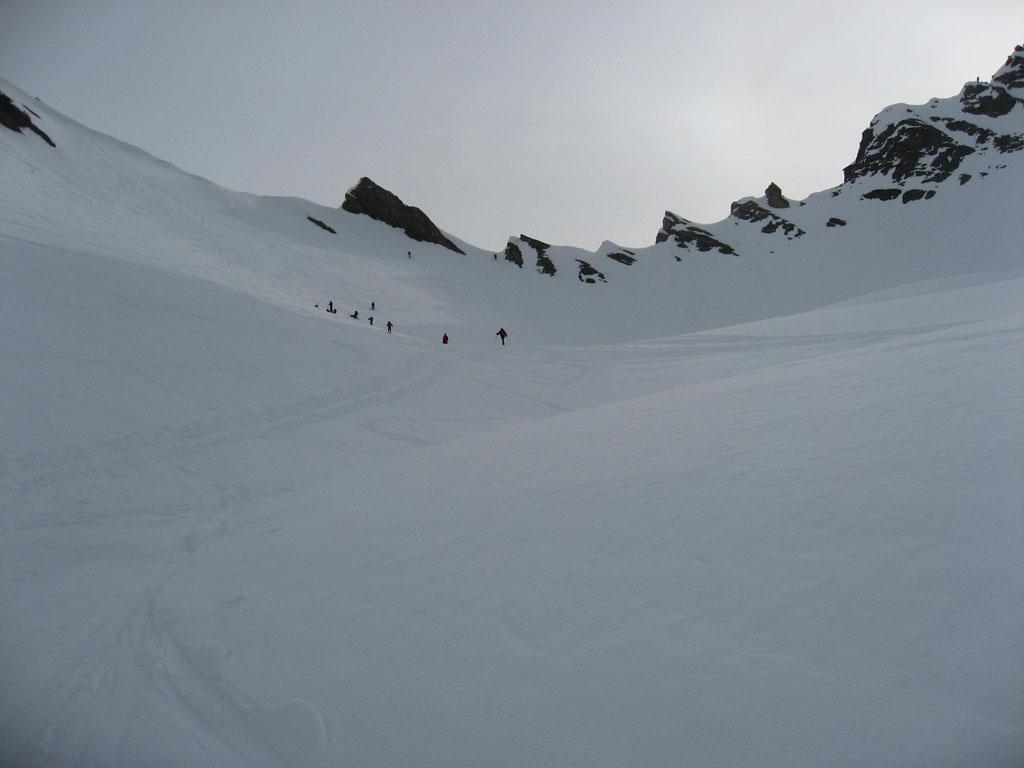
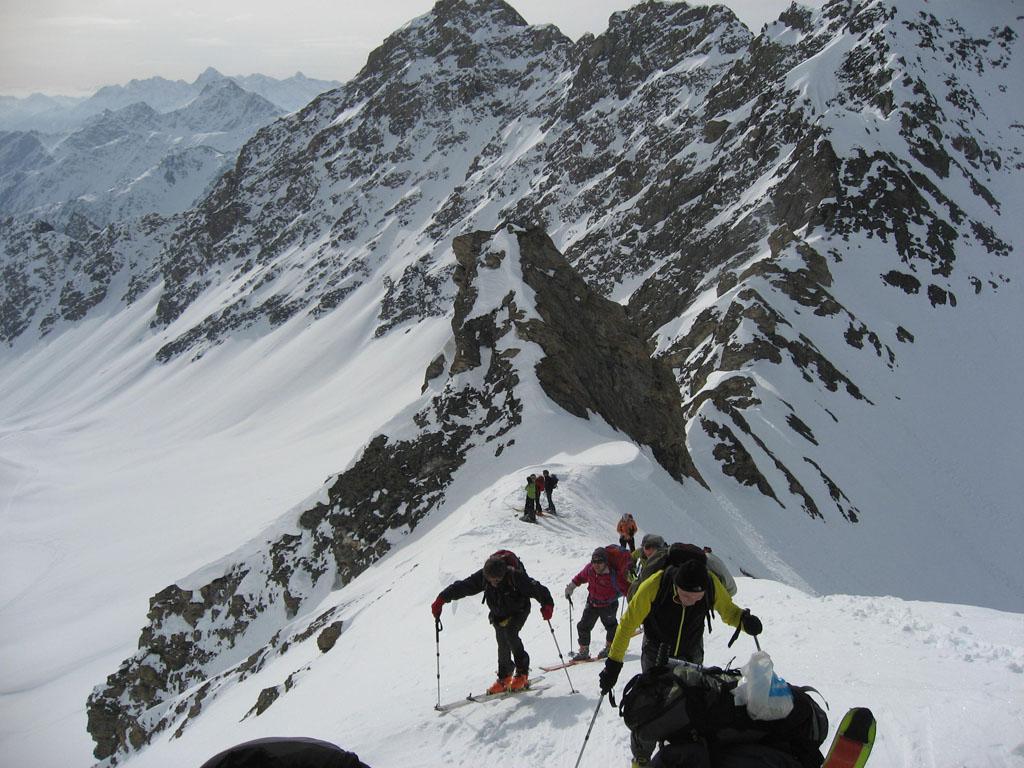
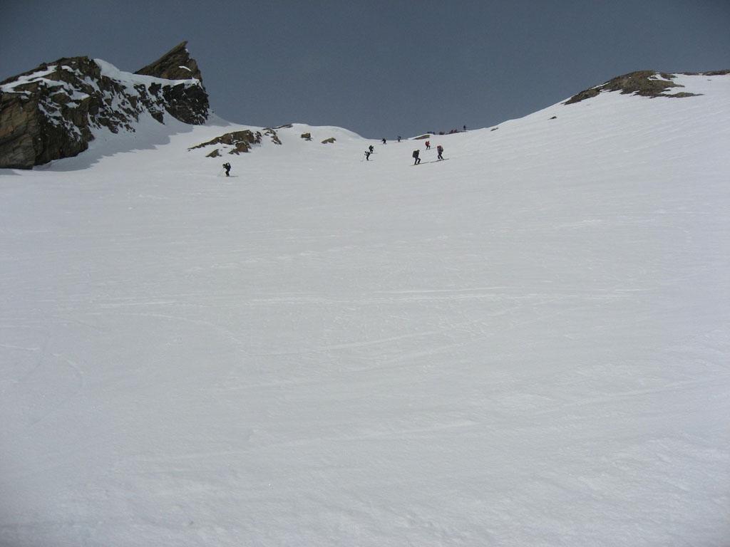
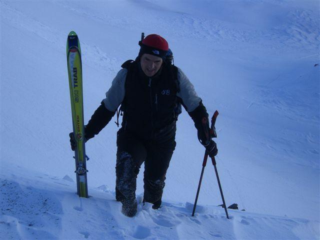
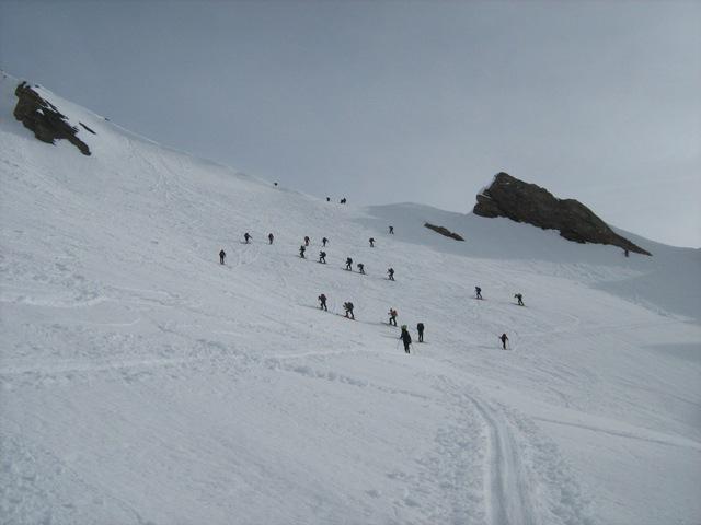
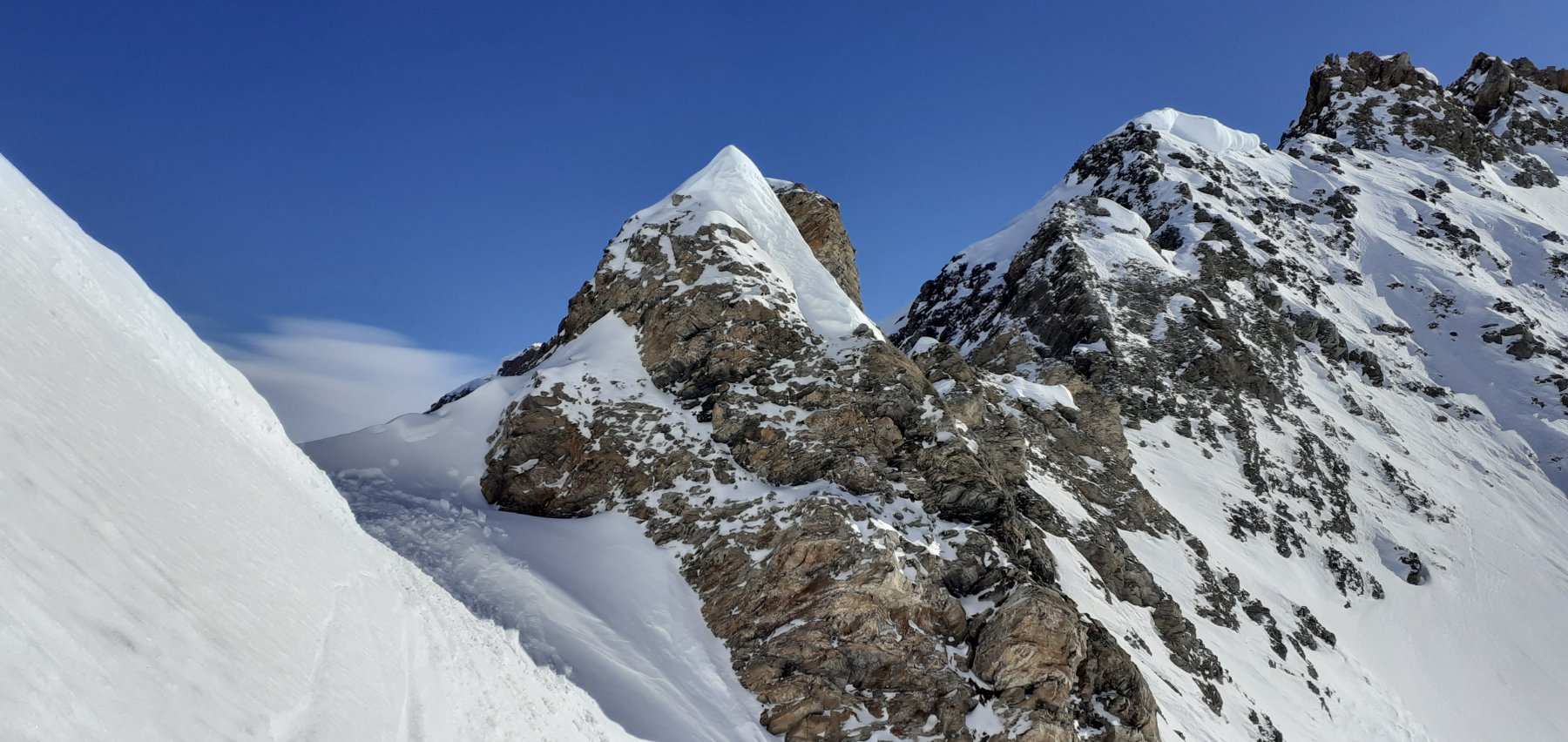
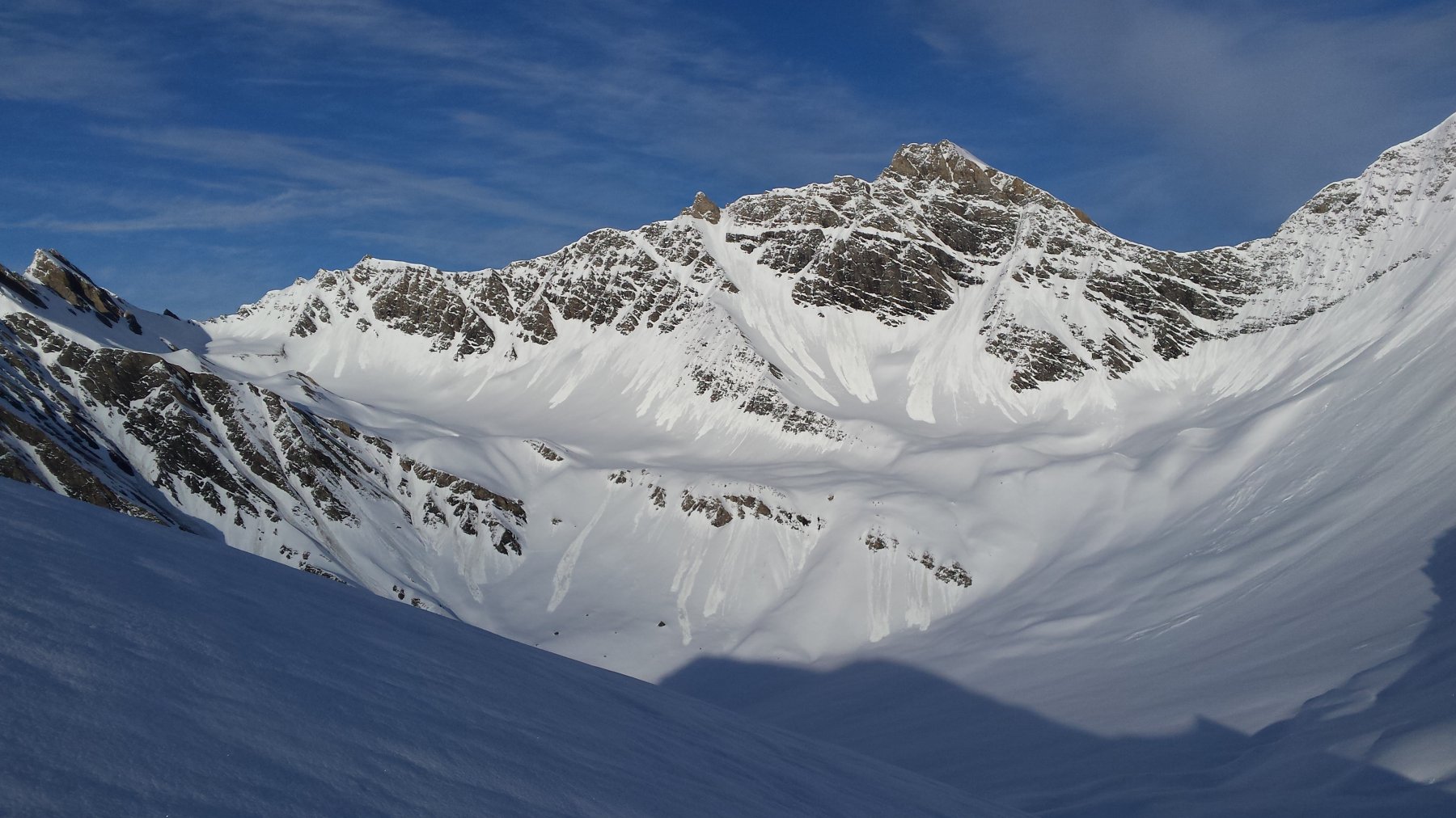
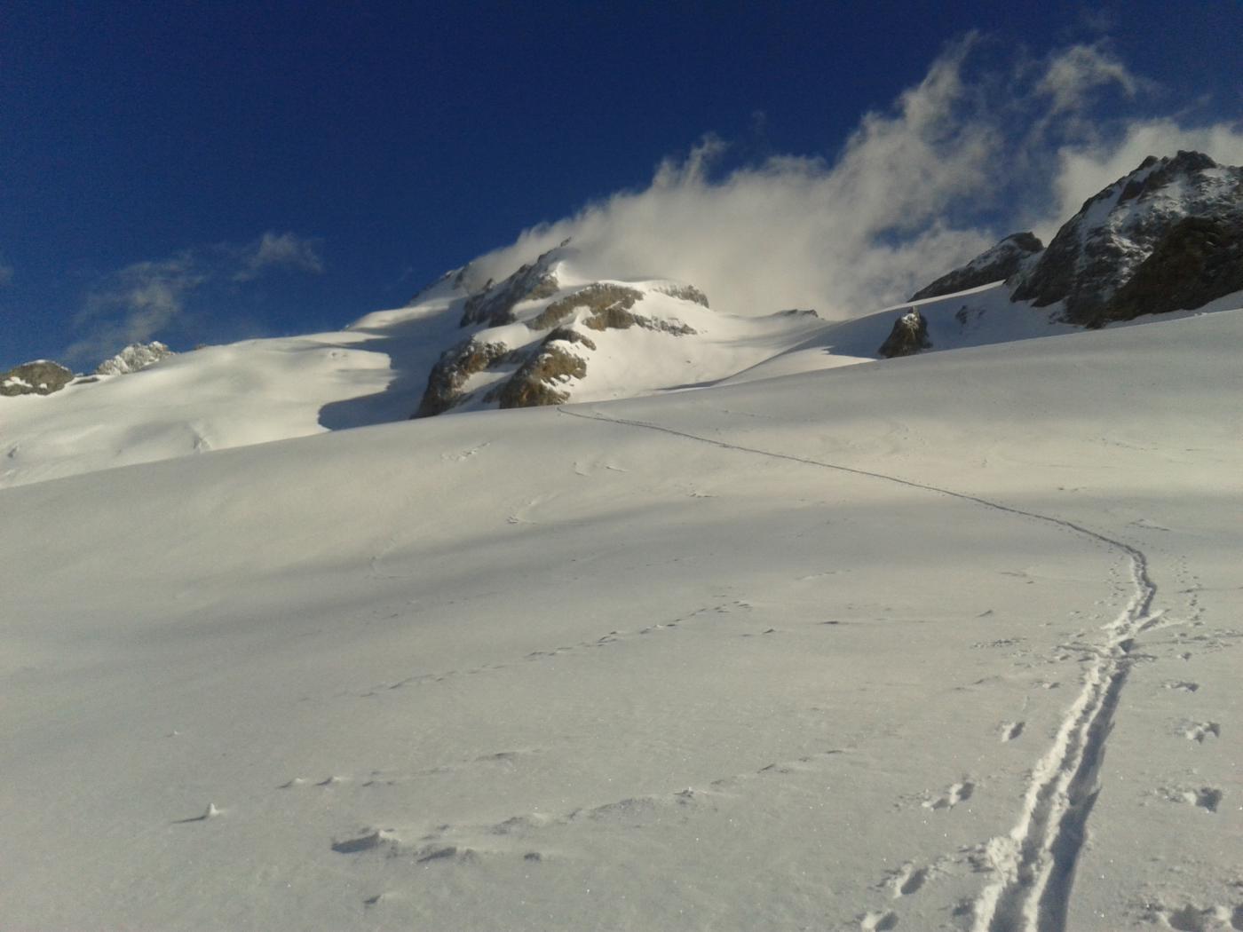
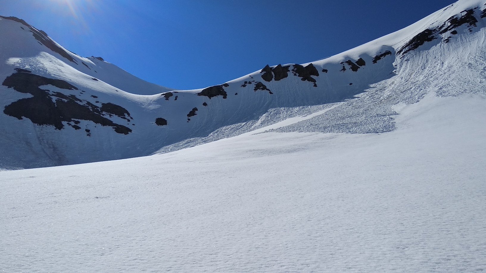
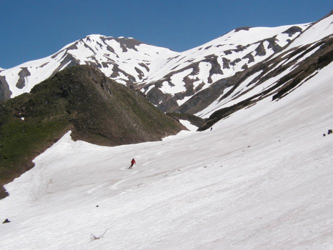
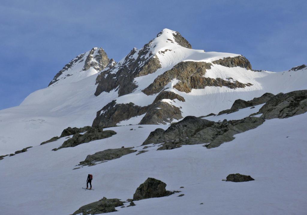
Continuare nell’ampio vallone e dopo aver superato gli alpeggi(2213) spostandosi mano mano sulla sinistra fino a raggiungere un pendio piu’ ripido,che in caso di neve dura e’ consigliabile affrontare con i coltelli.Continuare nel pianoro soprastante tenendosi nel centro fino a raggiungere il colle che si trova leggermente sulla destra(2928m).
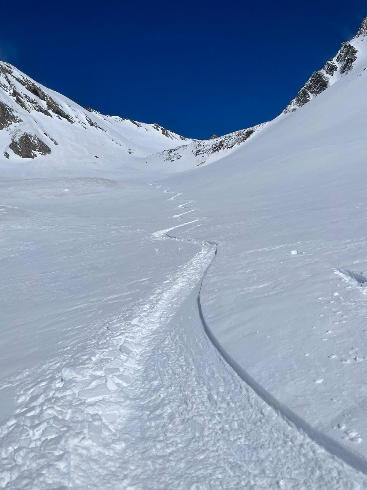
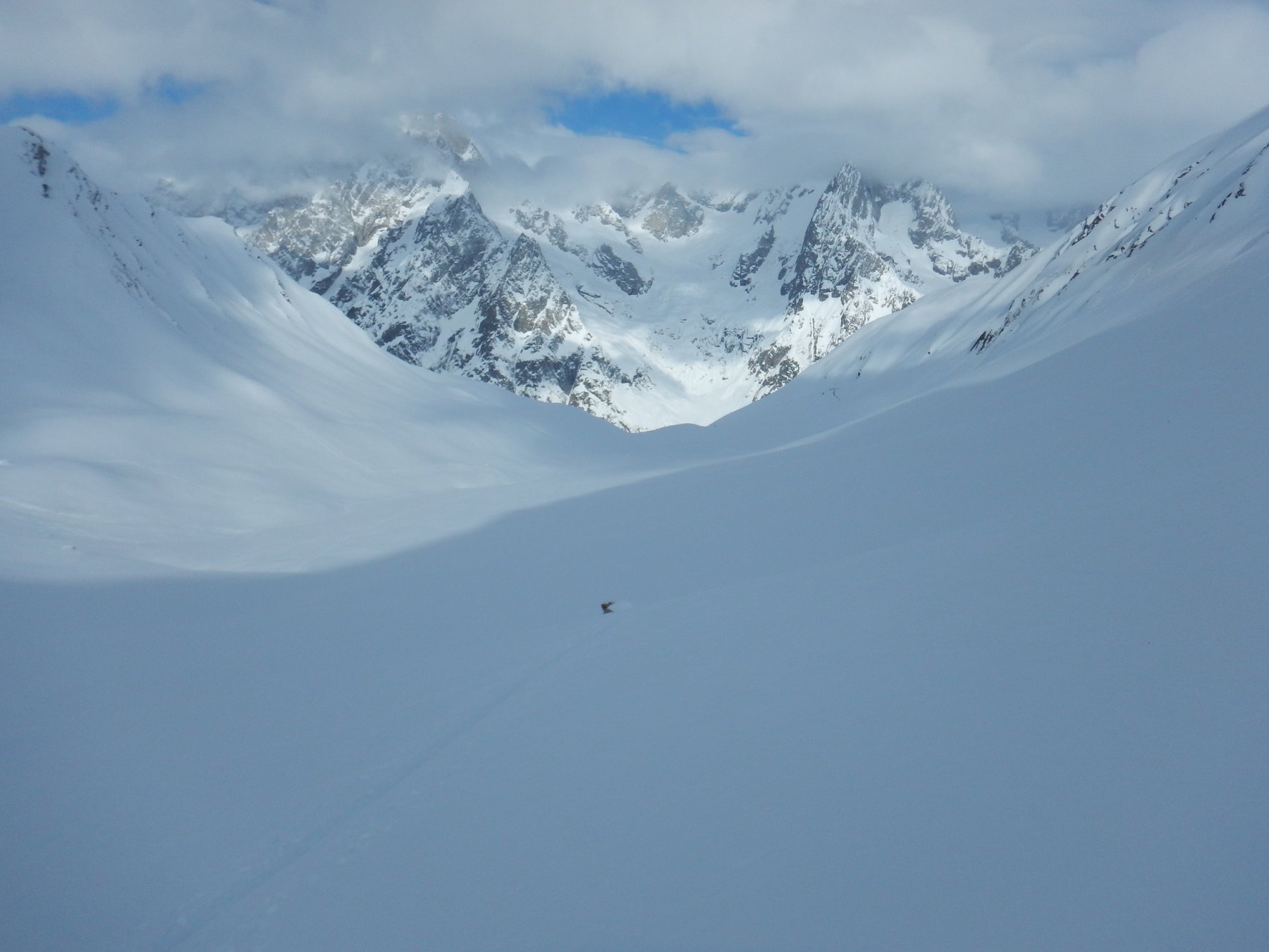
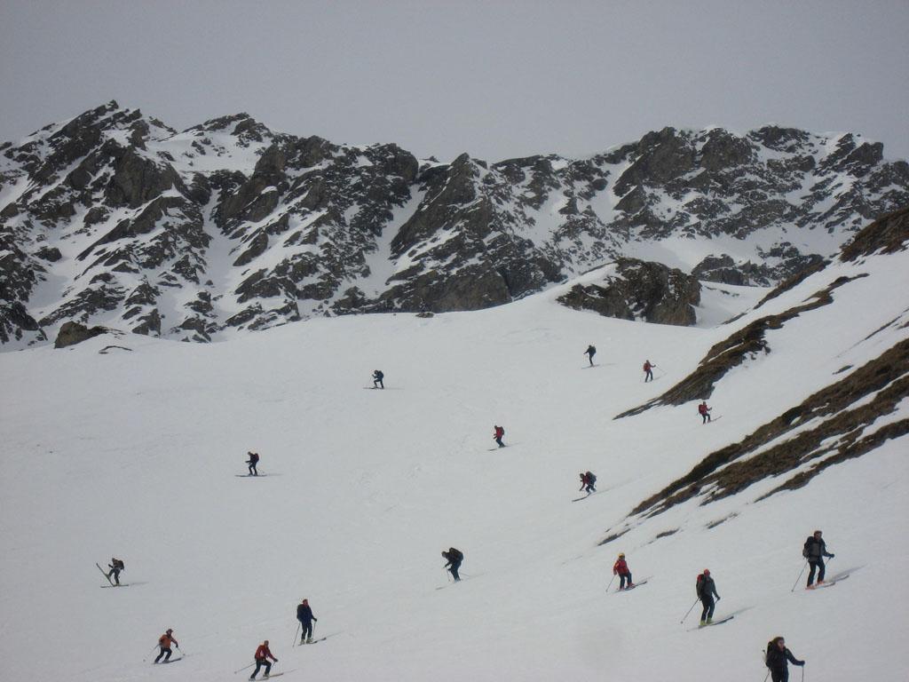
La discesa si effettua dallo stesso itinerario.
Nelle vicinanze Mappa
Itinerari
04/03/2026 AO, Courmayeur D+ 1563 m BSA, F+ Sud-Ovest
Malatrà (Aiguille de) da Lavachey
 50m
50m
30/03/2025 AO, Courmayeur D+ 942 m MS Nord-Ovest
Entre Deux Sauts (Tète) da Lavachey
 50m
50m
03/06/2017 AO, Courmayeur D+ 1570 m BSA Ovest
Volluz (Pointe) da Arnouva
 3.7Km
3.7Km
16/06/2018 AO, Courmayeur D+ 1253 m BS Nord-Ovest
Angroniettes (Aiguille des) da Lavachey
 3.7Km
3.7Km
07/06/2019 AO, Courmayeur D+ 951 m BS Ovest
Bellecombe (Mont) o Bella Comba da Arnouva
 3.7Km
3.7Km
13/06/2019 AO, Courmayeur D+ 1807 m BSA Sud
Grapillon (Monte) da Arnouva
 3.7Km
3.7Km
30/12/2023 AO, Courmayeur D+ 2600 m BS Varie
Bandarray, Fourchon, Saint Rhemy, Malatrà (Colli) dalla Val Ferret, anello
 3.7Km
3.7Km
29/05/2004 AO, Courmayeur D+ 964 m BS Sud-Ovest
Ferret (Tete de) da Arnouva
 3.7Km
3.7Km
26/04/2026 AO, Courmayeur D+ 2050 m OS, PD Sud
Dolent (Mont) da Arnouva
 3.7Km
3.7Km
18/02/2020 AO, Courmayeur D+ 770 m MS Nord-Ovest
Saxe (Mont de la) da Planpincieux
 4.8Km
4.8Km