250m
250m
Note
 50m
50m
3.7Km
3.7Km
3.7Km
3.7Km
3.7Km
3.7Km
3.7Km
4.8Km
50m
50m
3.7Km
3.7Km
3.7Km
3.7Km
3.7Km
3.7Km
3.7Km
4.8Km
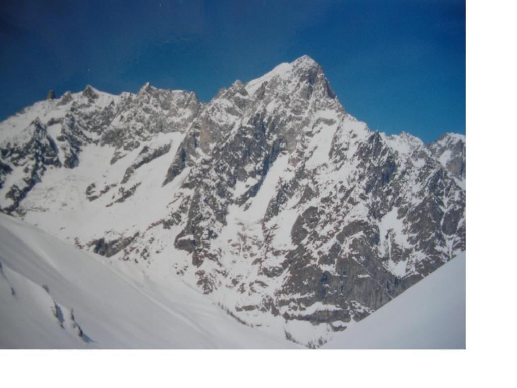
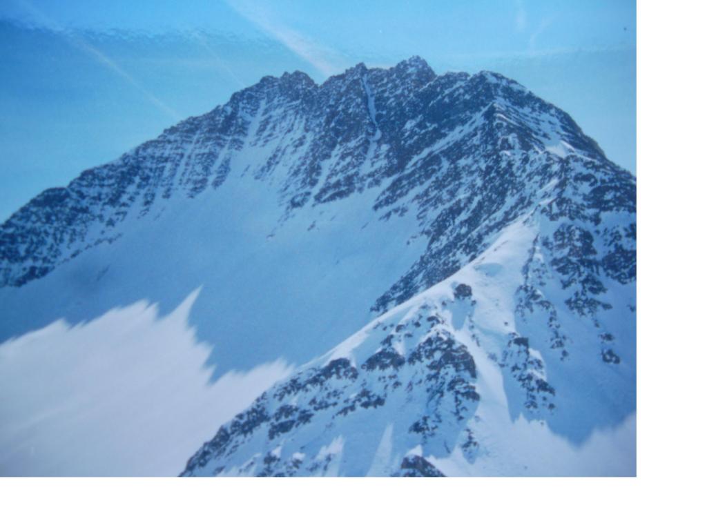
Salita corta da fare quando la strda della val Ferret sia aperta (normalmente metà maggio)
Avvicinamento
.
Descrizione
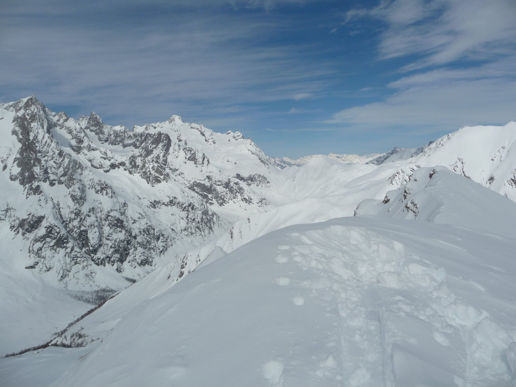
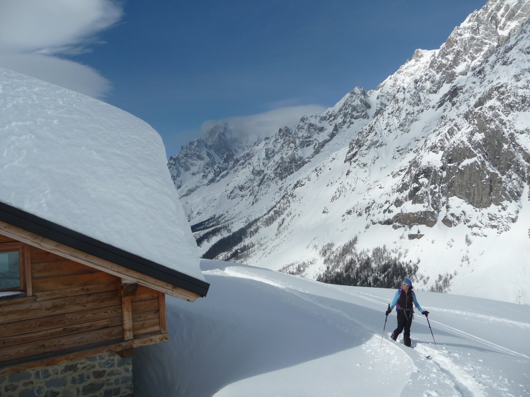
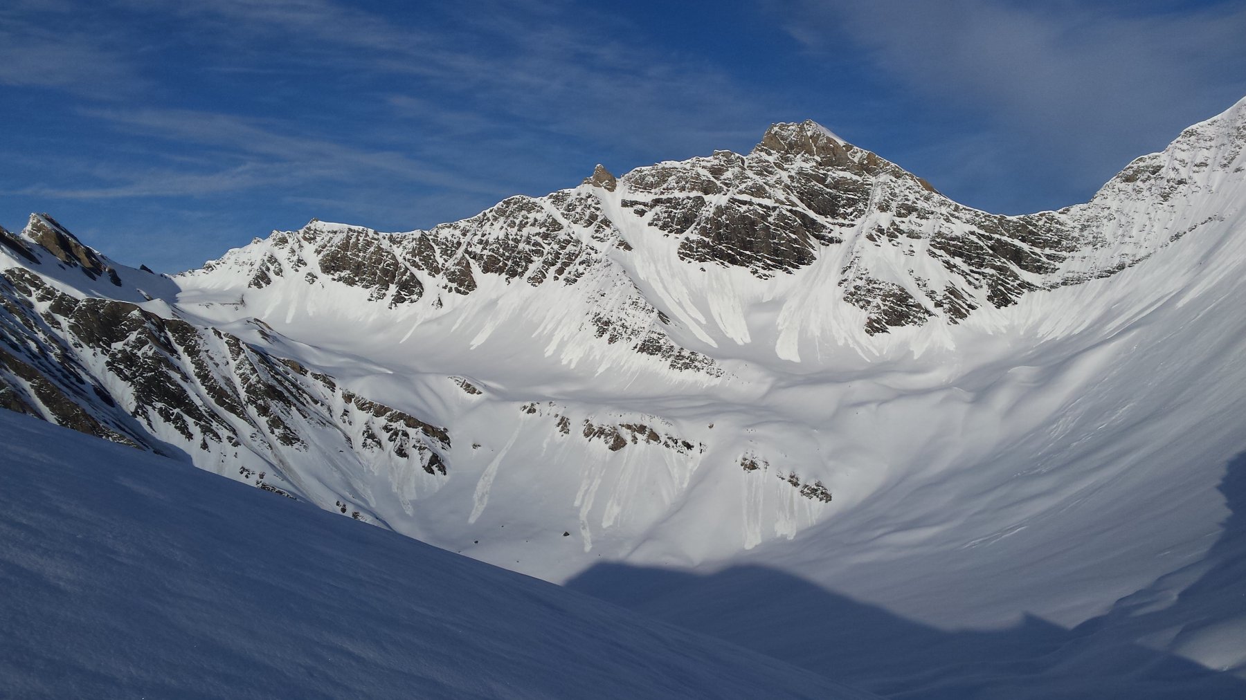
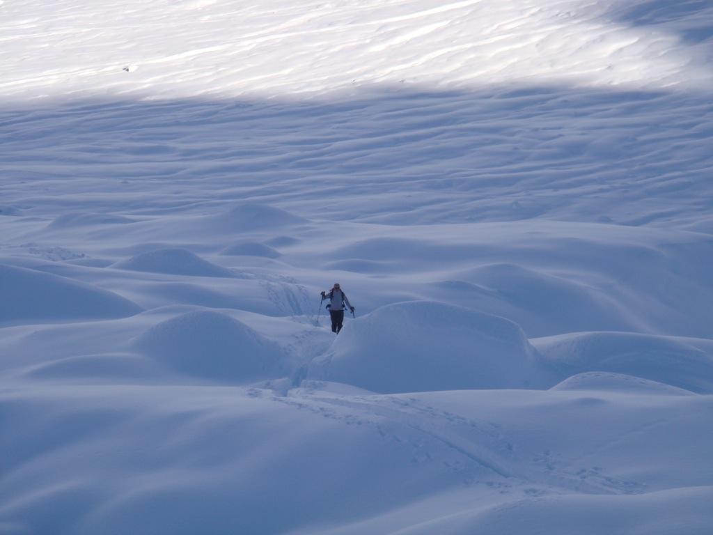
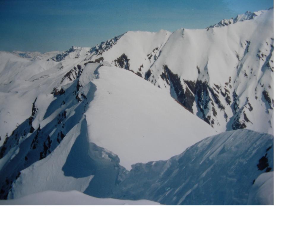
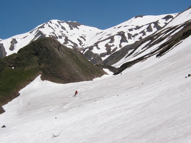
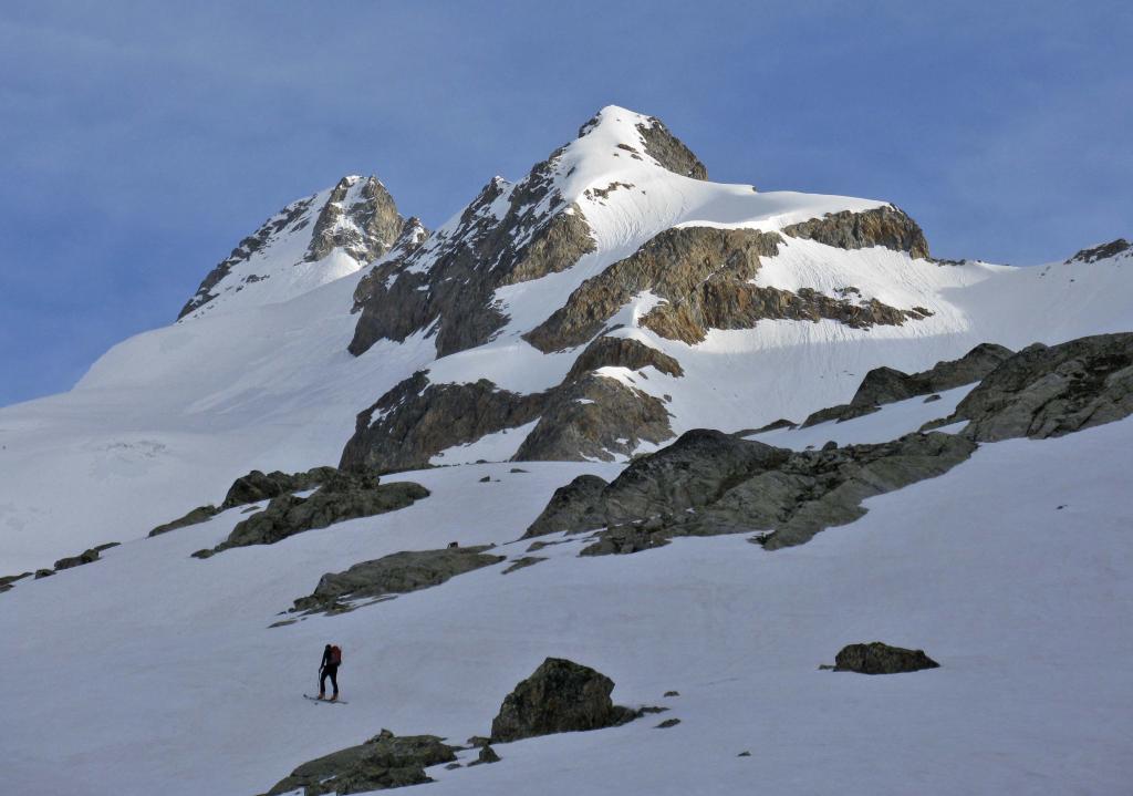
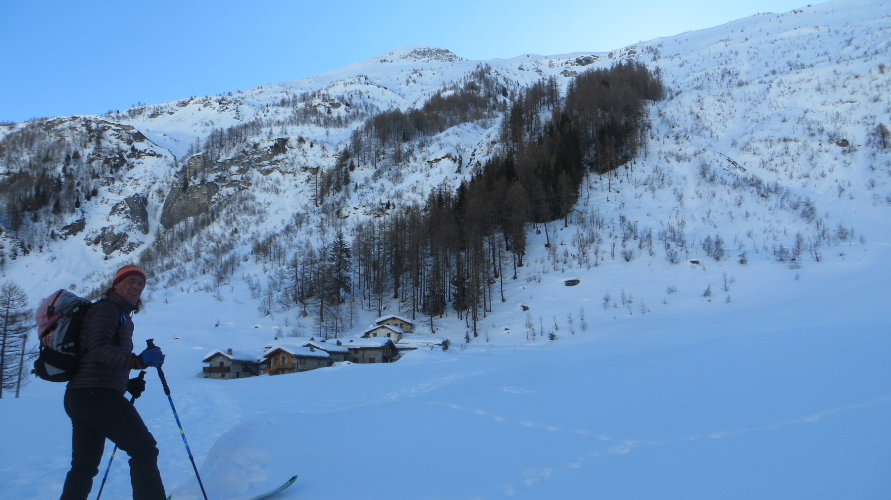
Passati i due tornanti opra Lavachey, prendere il sentiero sino al rifugio Bonatti. Continuare superando le baite. Lasciare a sinistra l’itinerario del Malatra e salire attraversando verso destra. Si superano dei bei dossi sino ad arrivare sotto al versante della Tete entre deux sauts.
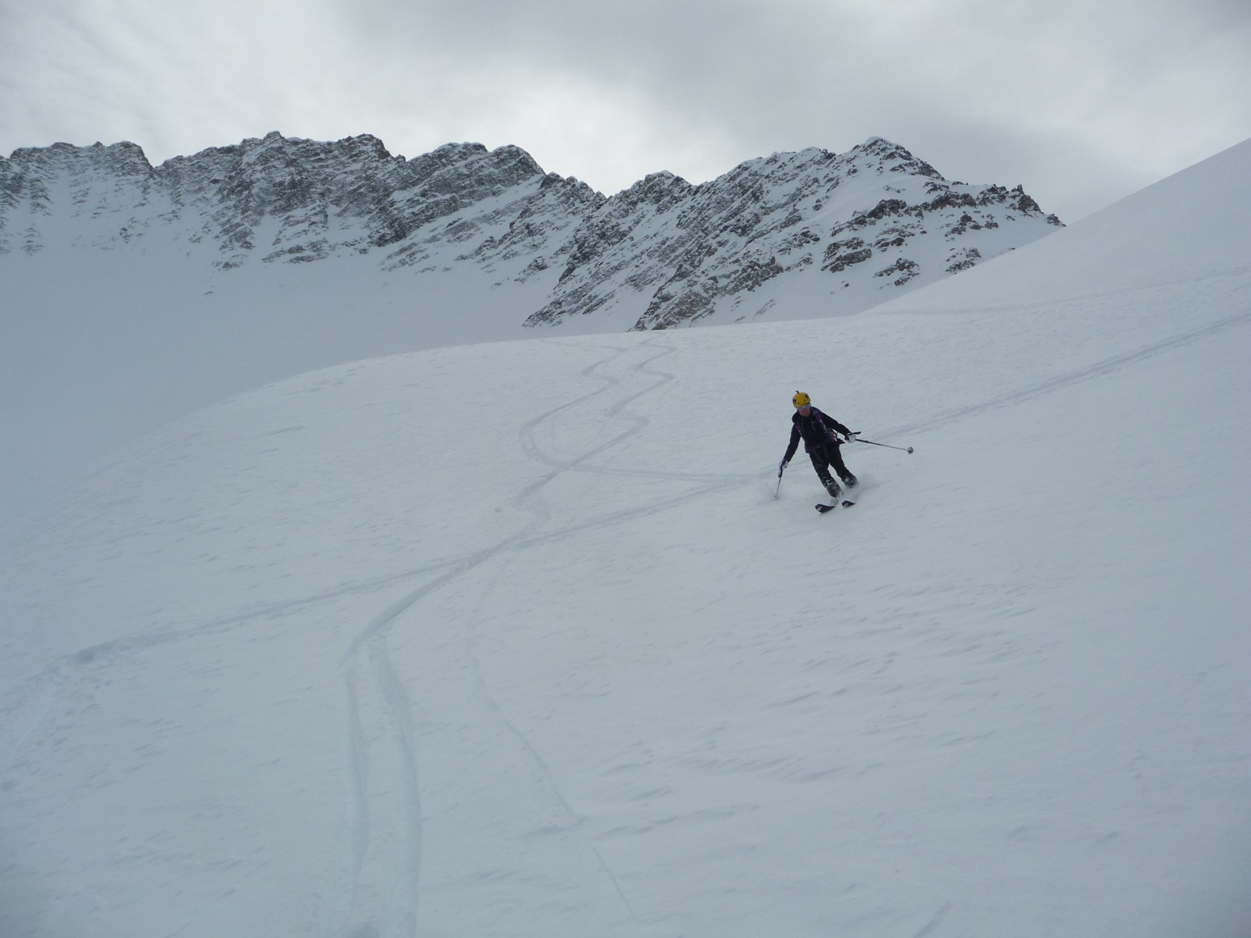
Deviare a sinistra e risalire un ripido pendio sin dove possibile. Lasciati gli sci si prosegue sulla ripida costola erbosa sino alla spalla.
Nelle vicinanze Mappa
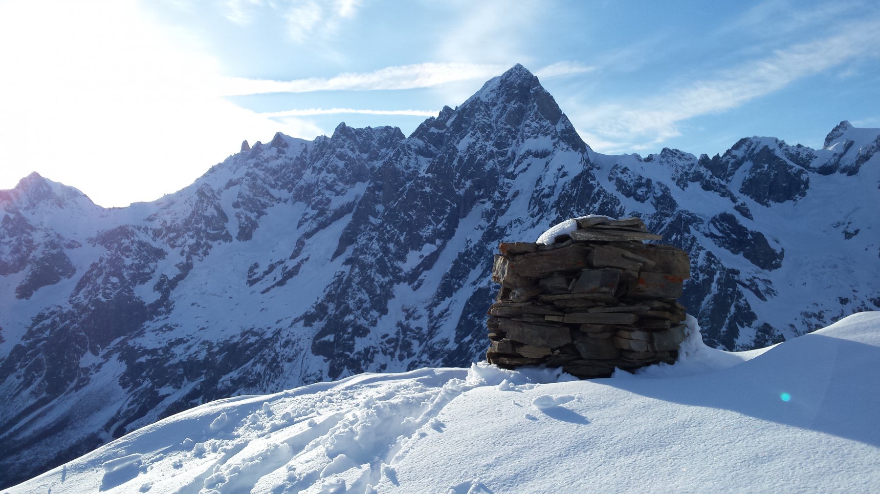
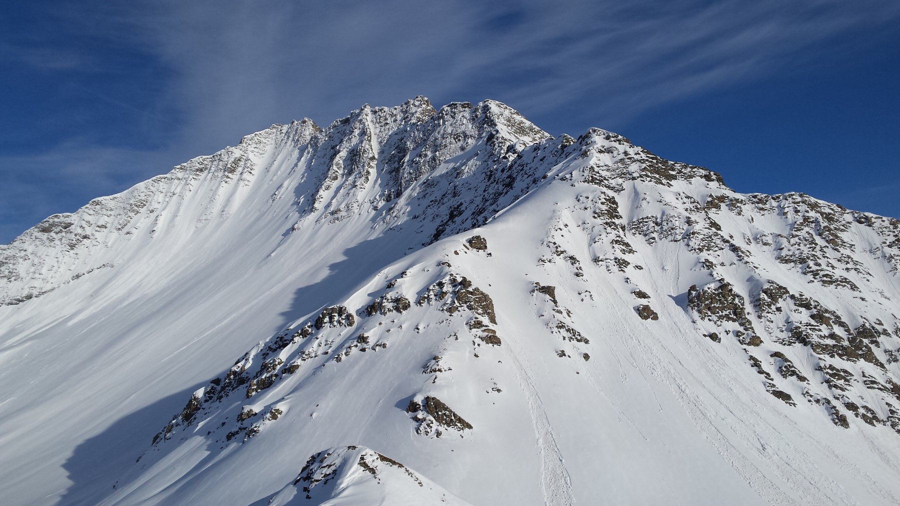
Itinerari
24/03/2024 AO, Courmayeur D+ 1268 m BS Ovest
Malatrà (Col de) da Lavachey
 50m
50m
04/03/2026 AO, Courmayeur D+ 1563 m BSA, F+ Sud-Ovest
Malatrà (Aiguille de) da Lavachey
 50m
50m
03/06/2017 AO, Courmayeur D+ 1570 m BSA Ovest
Volluz (Pointe) da Arnouva
 3.7Km
3.7Km
16/06/2018 AO, Courmayeur D+ 1253 m BS Nord-Ovest
Angroniettes (Aiguille des) da Lavachey
 3.7Km
3.7Km
07/06/2019 AO, Courmayeur D+ 951 m BS Ovest
Bellecombe (Mont) o Bella Comba da Arnouva
 3.7Km
3.7Km
13/06/2019 AO, Courmayeur D+ 1807 m BSA Sud
Grapillon (Monte) da Arnouva
 3.7Km
3.7Km
30/12/2023 AO, Courmayeur D+ 2600 m BS Varie
Bandarray, Fourchon, Saint Rhemy, Malatrà (Colli) dalla Val Ferret, anello
 3.7Km
3.7Km
29/05/2004 AO, Courmayeur D+ 964 m BS Sud-Ovest
Ferret (Tete de) da Arnouva
 3.7Km
3.7Km
26/04/2026 AO, Courmayeur D+ 2050 m OS, PD Sud
Dolent (Mont) da Arnouva
 3.7Km
3.7Km
18/02/2020 AO, Courmayeur D+ 770 m MS Nord-Ovest
Saxe (Mont de la) da Planpincieux
 4.8Km
4.8Km