150m
150m
Avvicinamento
 50m
50m
50m
750m
750m
1.3Km
1.3Km
1.3Km
1.3Km
1.3Km
50m
50m
50m
750m
750m
1.3Km
1.3Km
1.3Km
1.3Km
1.3Km
150m
150m
150m
600m
600m
 650m
650m
4.3Km
4.3Km
4.3Km
4.6Km
500
Descrizione
Tappa n. 1 della Via Francigena della Valle d’Aosta che parte dal Gran San Bernardo e scende fino a Etroubles, passanda da Saint Rhemy en Bosses, Saint Leonard, Saint Oyen e Etroubles. Percorso molto ben segnalato: seguire sentiero 103
Nelle vicinanze Mappa
Itinerari
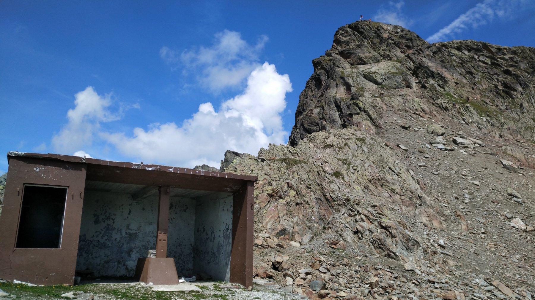
31/08/2023 AO, Saint-Rhemy-En-Bosses D+ 300 m EEA Sud-Est
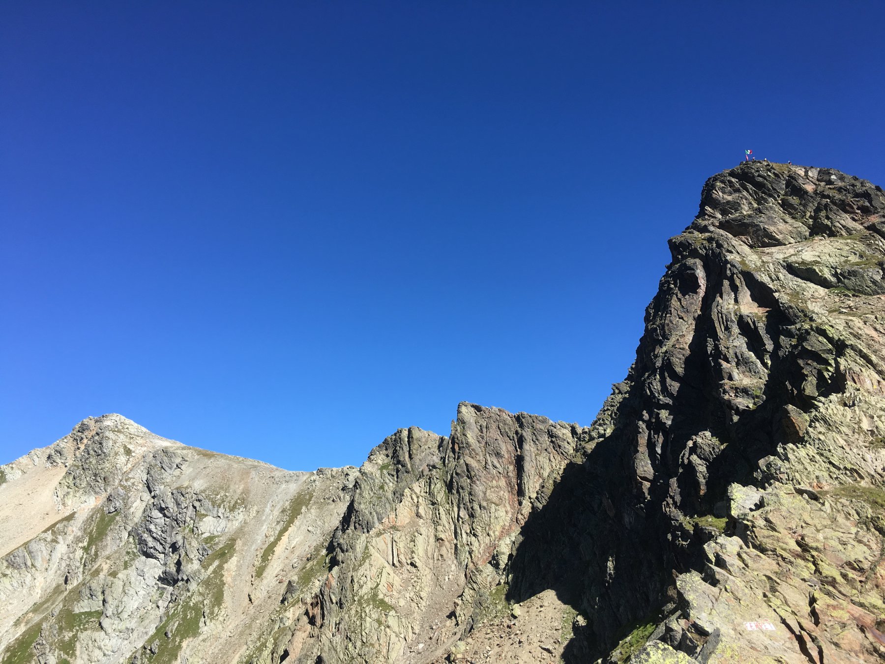
Grande Chenalette dal Colle del Gran San Bernardo
 50m
50m
05/07/2026 AO, Saint-Rhemy-En-Bosses D+ 530 m EEA Sud-Est
Drone (Pointe de) e Grande Chenalette dal Colle del Gran San Bernardo
 50m
50m
09/10/2023 AO, Saint-Rhemy-En-Bosses D+ 1100 m EEA Tutte
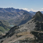
Drone (Pointe de), Grande Chenalette, Mont Fourchon, Pain de Sucre dal Colle del Gran San Bernardo, anello di cresta
 50m
50m
24/08/2018 Entremont, Bourg-Saint-Pierre D+ 351 m EE Nord
Mort (Petit Mont) dal Colle del Gran San Bernardo
 750m
750m
04/07/2026 Entremont, Bourg-Saint-Pierre D+ 334 m E Varie
Lacerandes (Pointe des) dal Colle del Gran San Bernardo per il Pas des Chevaux
 750m
750m
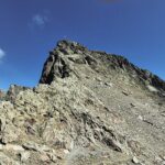
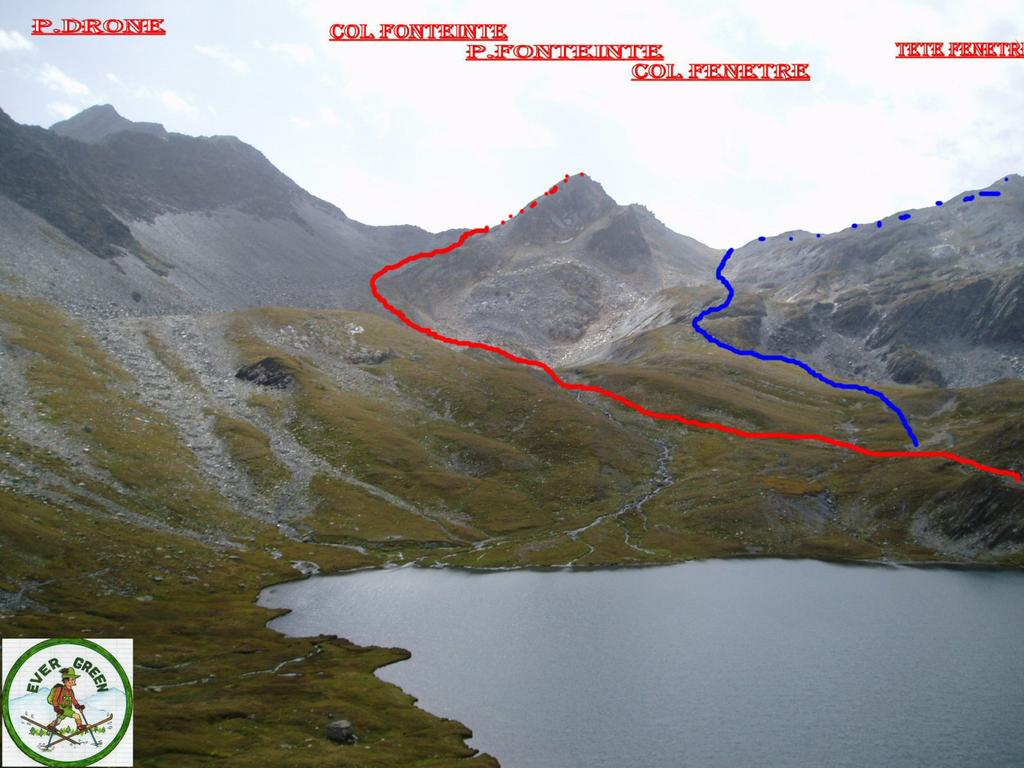
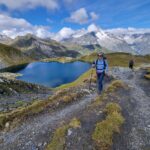
08/09/2023 AO, Saint-Rhemy-En-Bosses D+ 700 m E Tutte
Fenetre (Tete de) da Montagna Baus, anello per i Lacs de Fenetre
 1.3Km
1.3Km
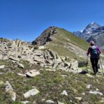
02/09/2023 AO, Saint-Rhemy-En-Bosses D+ 797 m E Sud-Est
Arpalle (Col d’) da Montagna Baus
 1.3Km
1.3Km
27/08/2016 AO, Saint-Rhemy-En-Bosses D+ 594 m EE/F Sud
Drone (Pointe de) da Montagna Baus per la cresta ovest
 1.3Km
1.3Km
12/09/2025 AO, Saint-Rhemy-En-Bosses D+ 563 m EE Nord-Ovest
Pain de Sucre da Montagna Baus per il versante NO
 1.3Km
1.3Km
29/08/2025 AO, Saint-Rhemy-En-Bosses D+ 546 m EE Est
Fourchon (Mont) da Montagna Baus
 1.3Km
1.3Km
Servizi
150m
 150m
150m
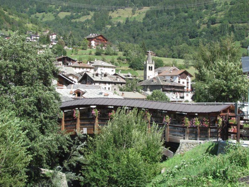
Albergo Italia Albergo
Saint-rhemy-en-bosses 150m
150m
Du Lac Ristorante
Saint-rhemy-en-bosses 600m
600m
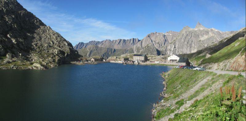
Hospice du Grand-St-Bernard Albergo
Bourg-St-Pierre 600m
600m
Auberge de l’Hospice Ristorante
Bourg-Saint-Pierre
650m
De l’Hospice Rifugio
Bourg-Saint-Pierre 4.3Km
4.3Km
Ettore Personnettaz Professionisti
Saint Rhemy 4.3Km
4.3Km
Hotel Suisse Albergo
Saint-rhemy-en-bosses 4.3Km
4.3Km
Ristorante Suisse Ristorante
Saint Rhemy 4.6Km
4.6Km