2.9Km
2.9Km


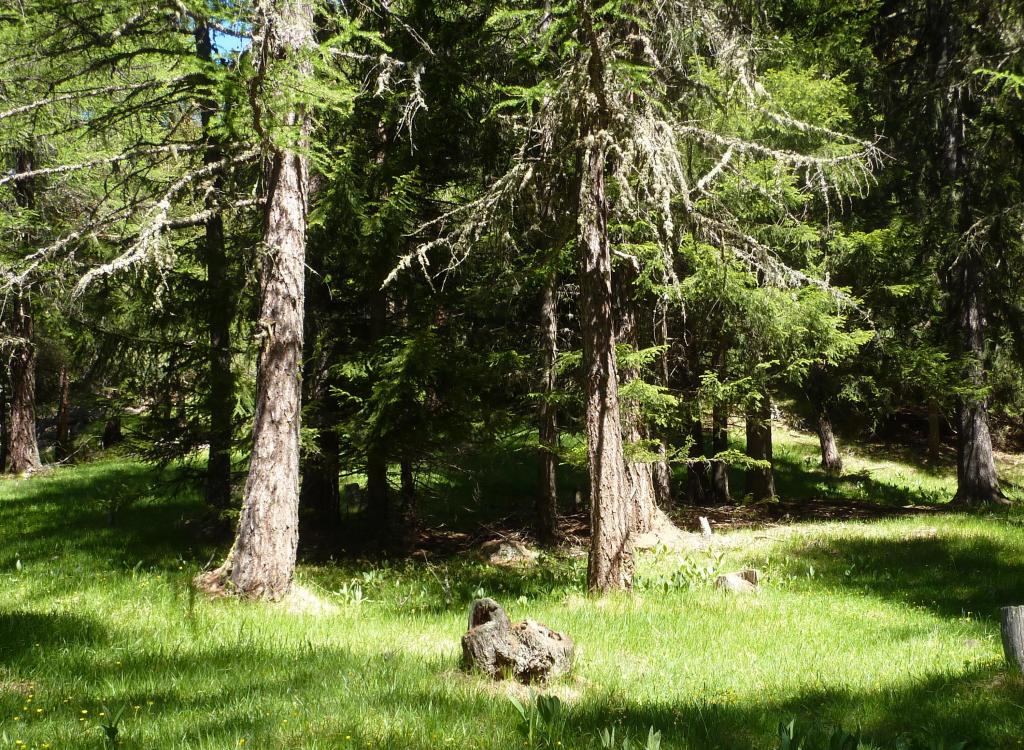
Avvicinamento
 50m
50m
50m
50m
50m
2Km
50m
50m
50m
50m
50m
2Km
2.9Km
2.9Km
3Km
 3.8Km
3.8Km
3.8Km
4.3Km
4.7Km
4.8Km
4.9Km
5Km
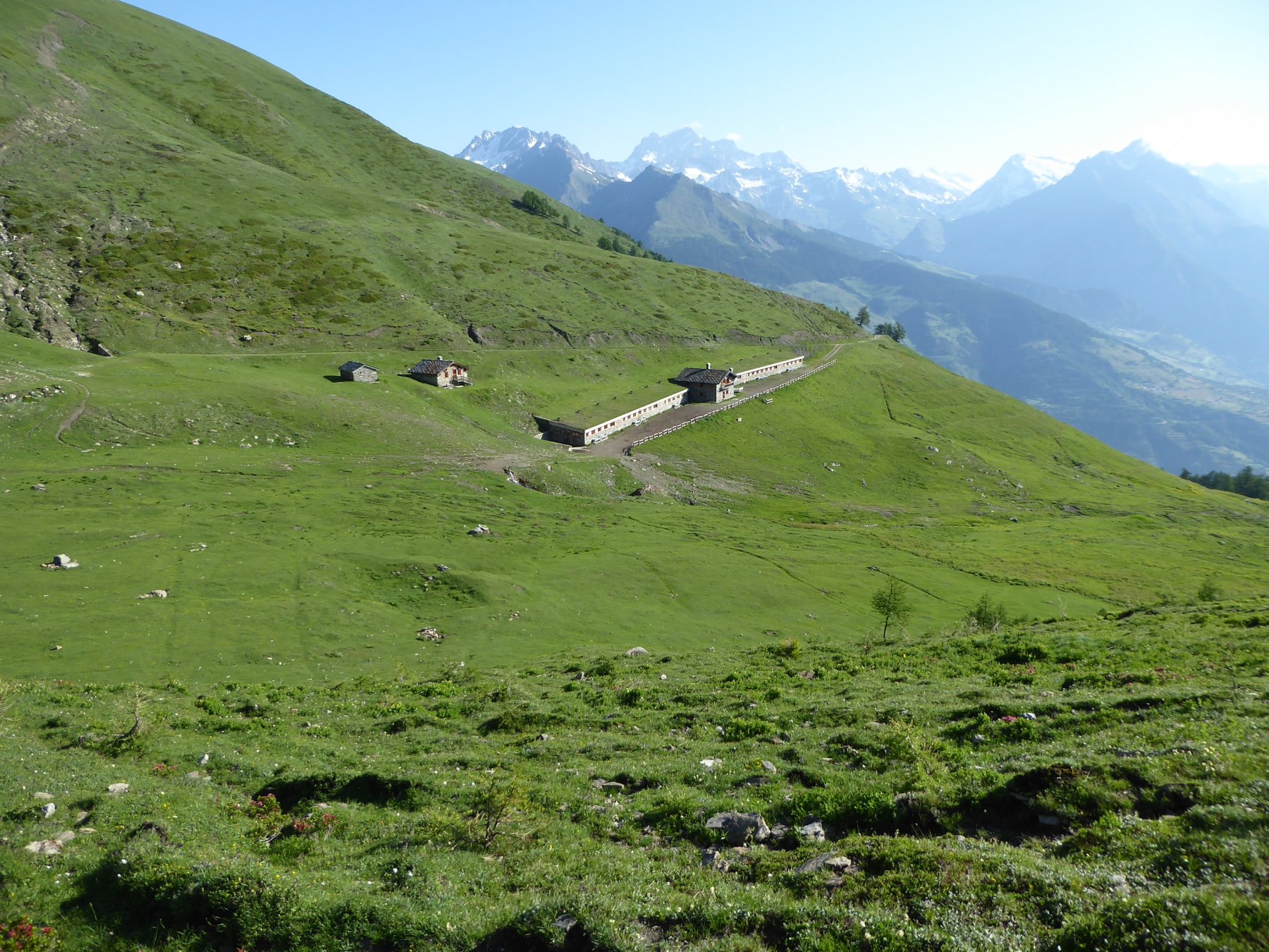
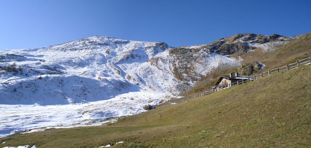
Da Aosta risalire la valle del Gran san Bernardo sino a Gignod, poi seguire per Buthier sino a dove inizia la strada poderale con divieto, piccolo piazzale per auto
Descrizione
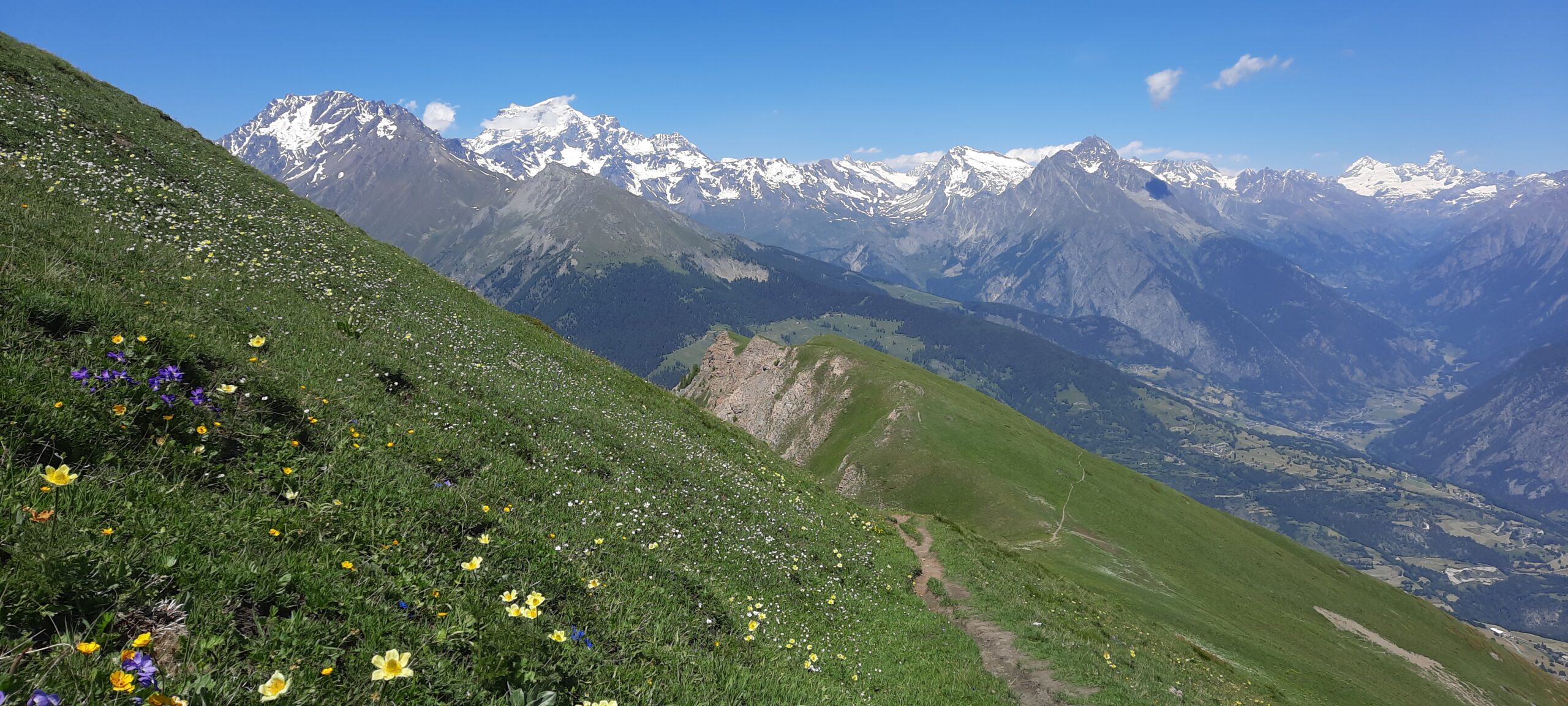
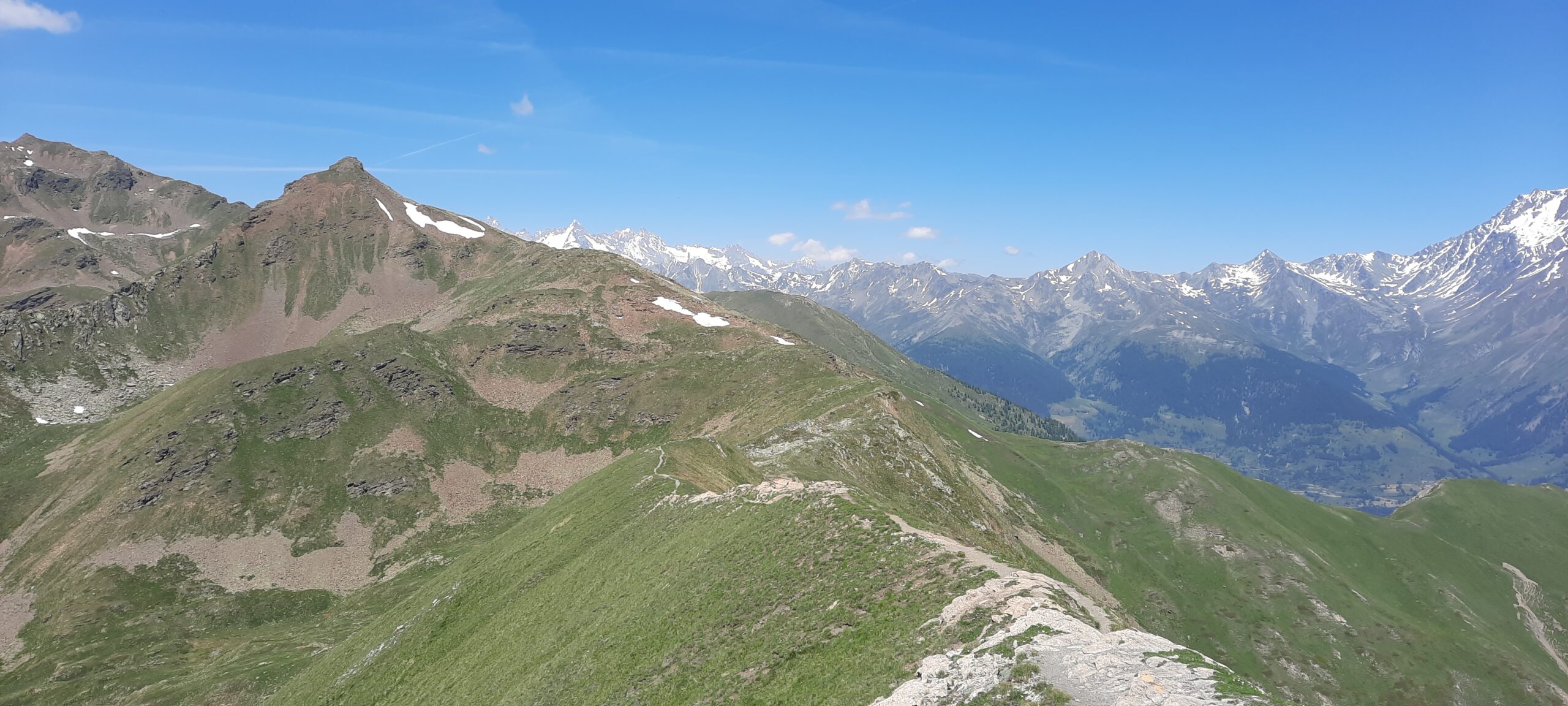
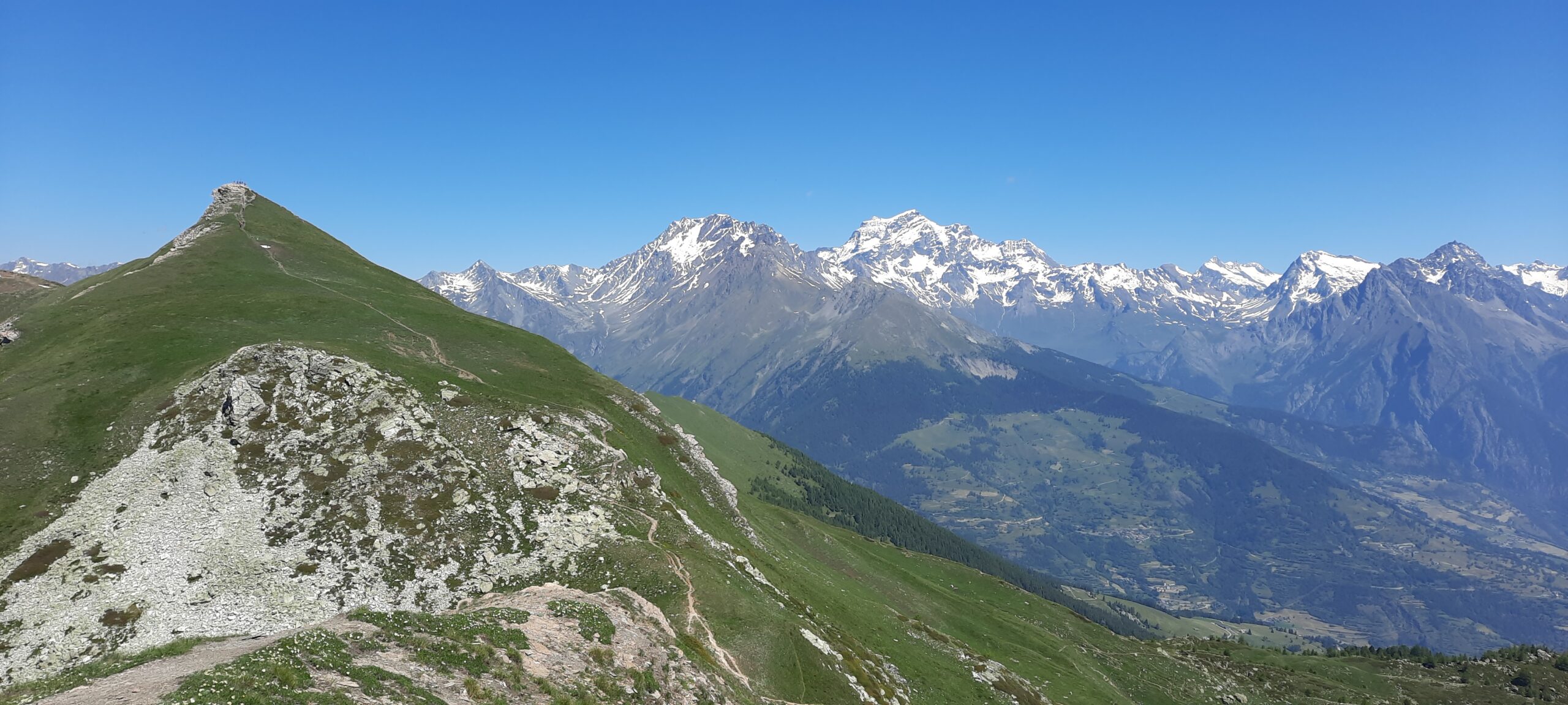
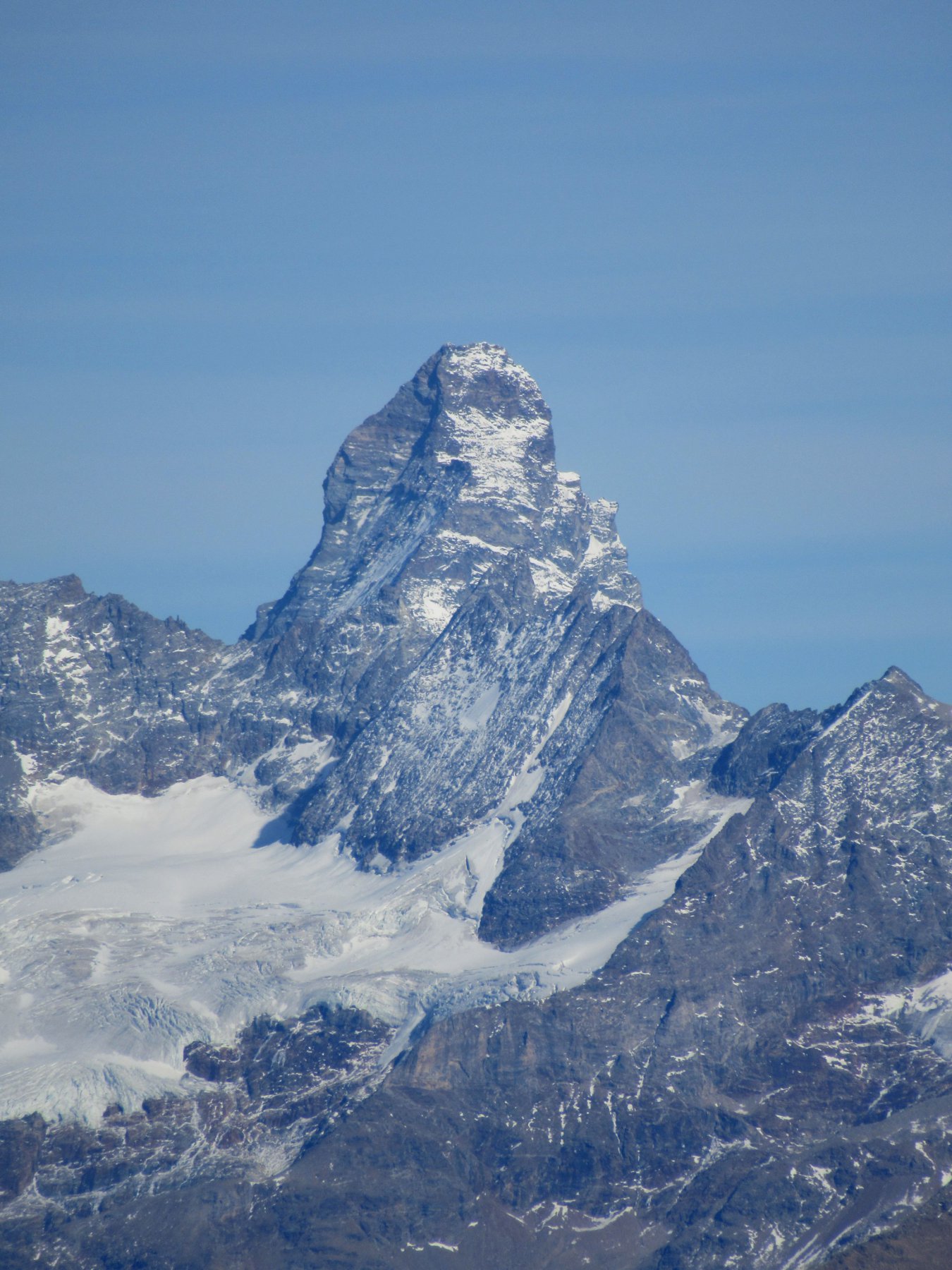
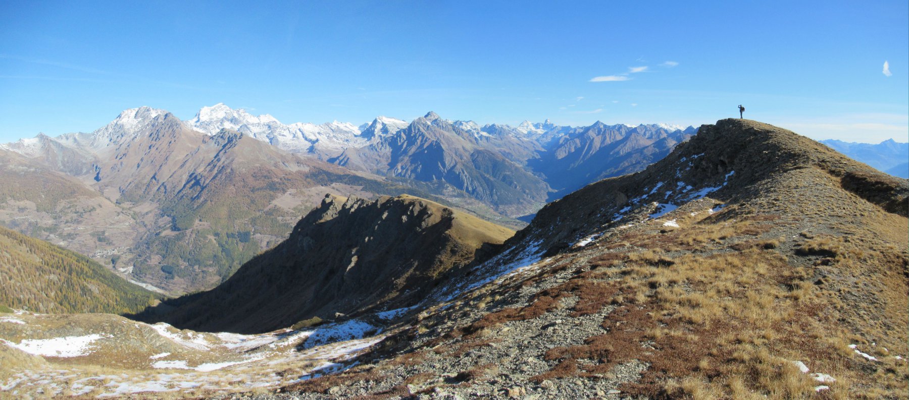
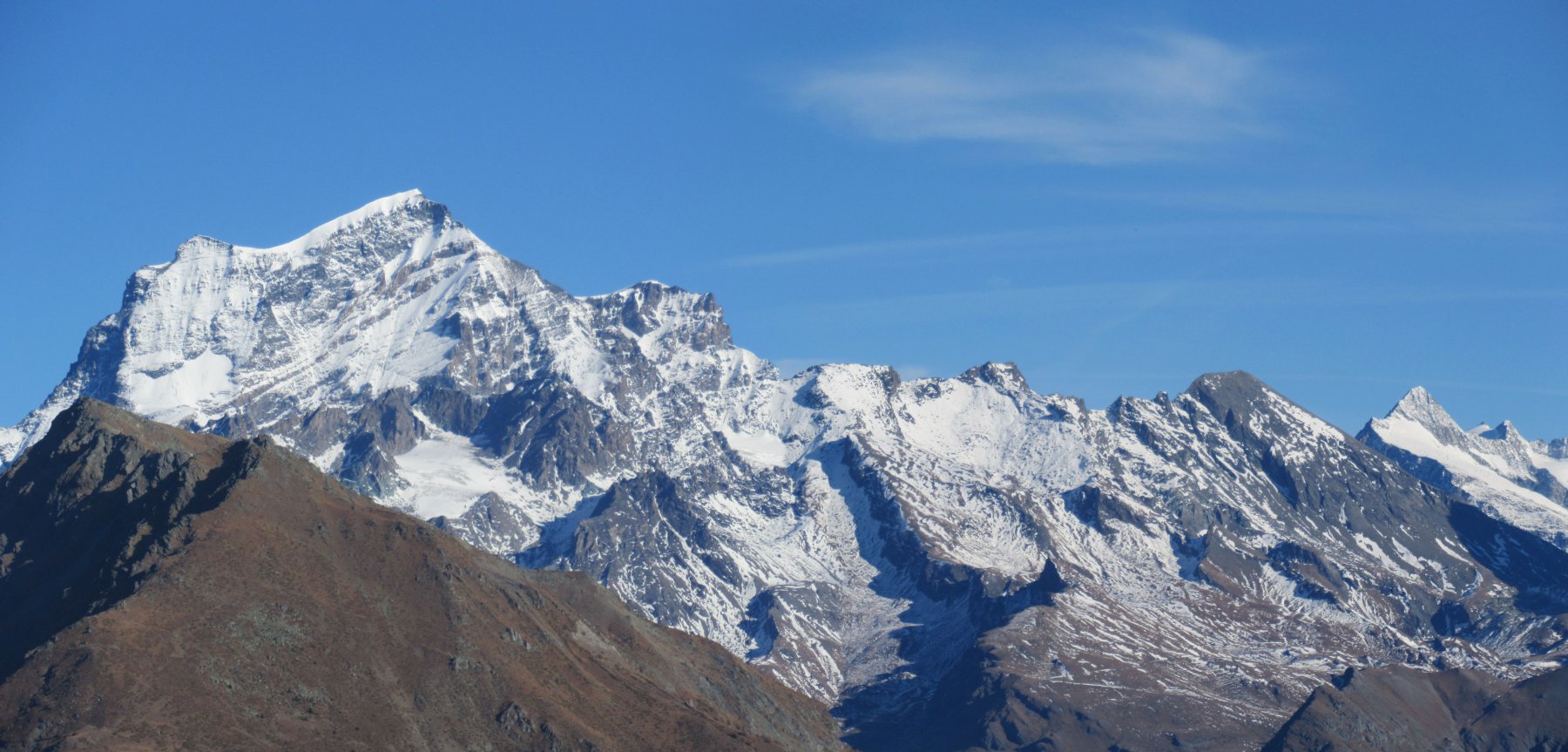
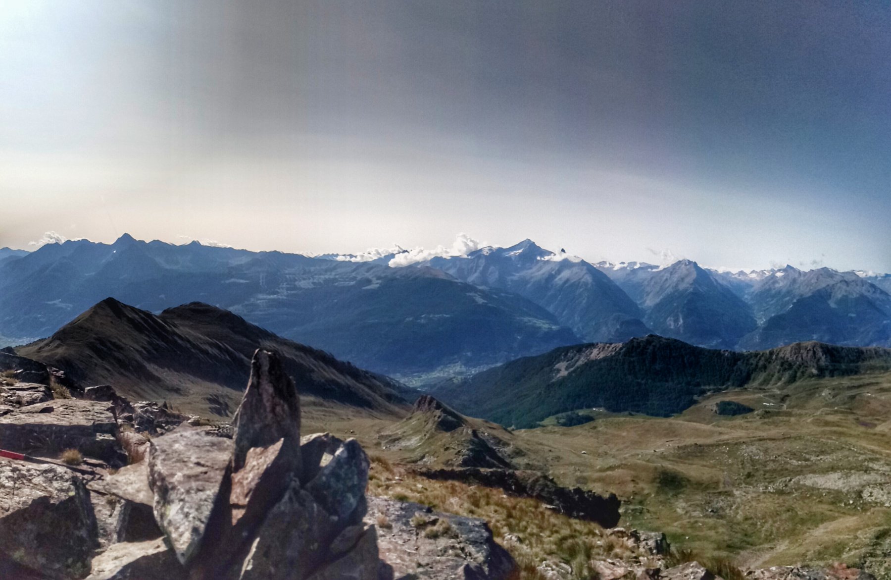
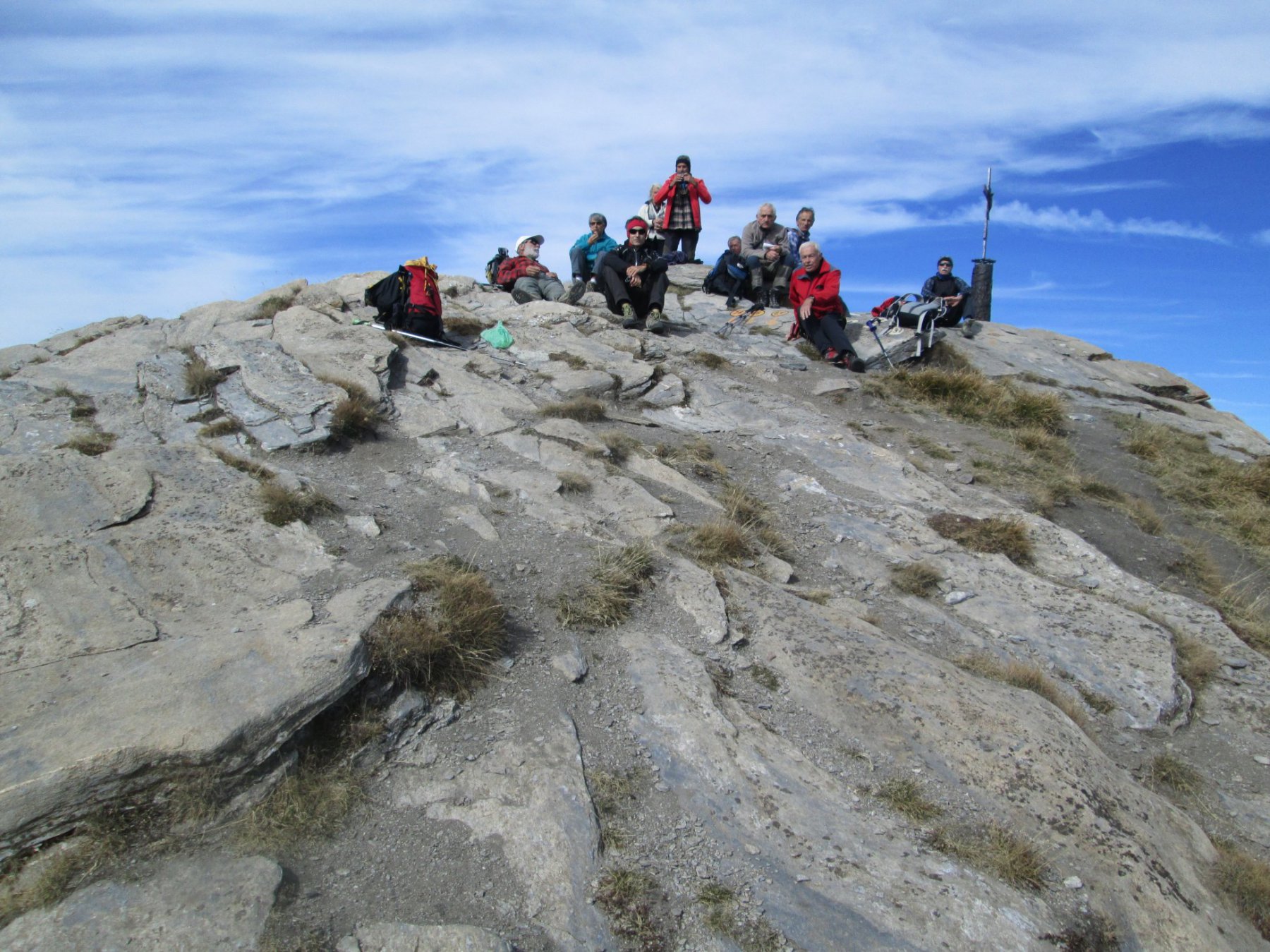
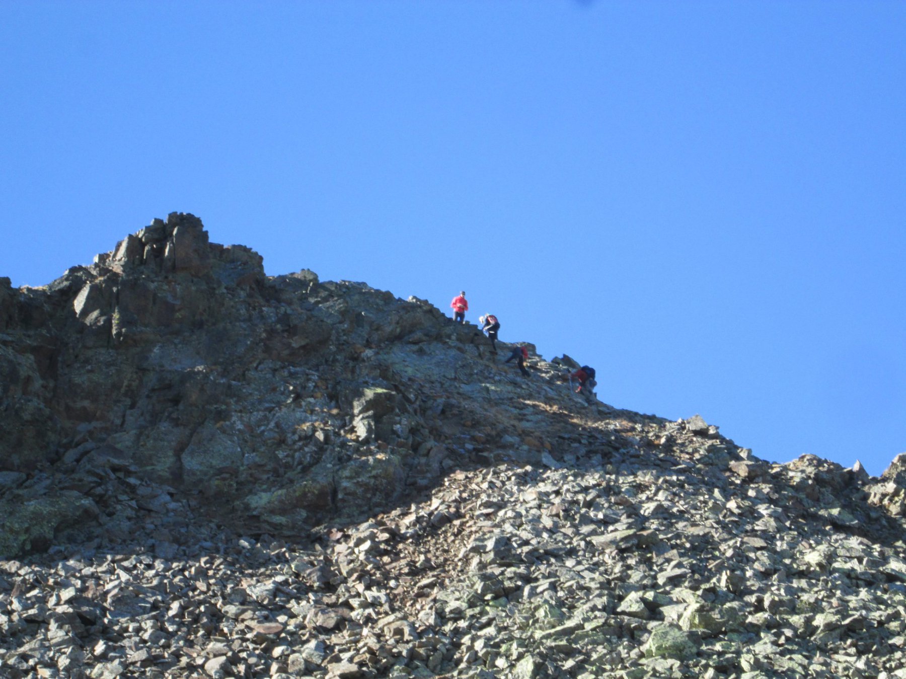
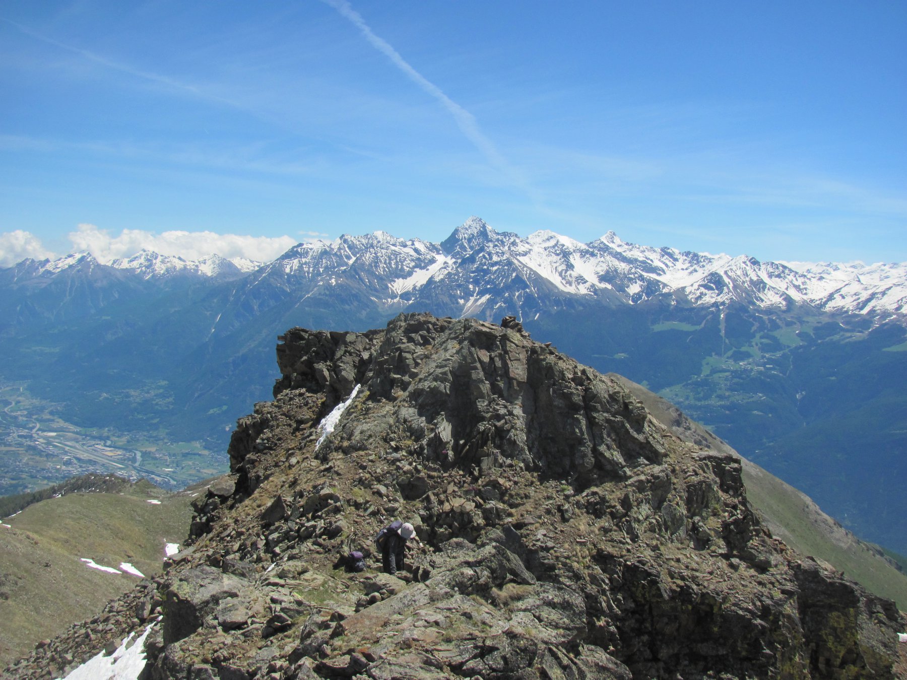
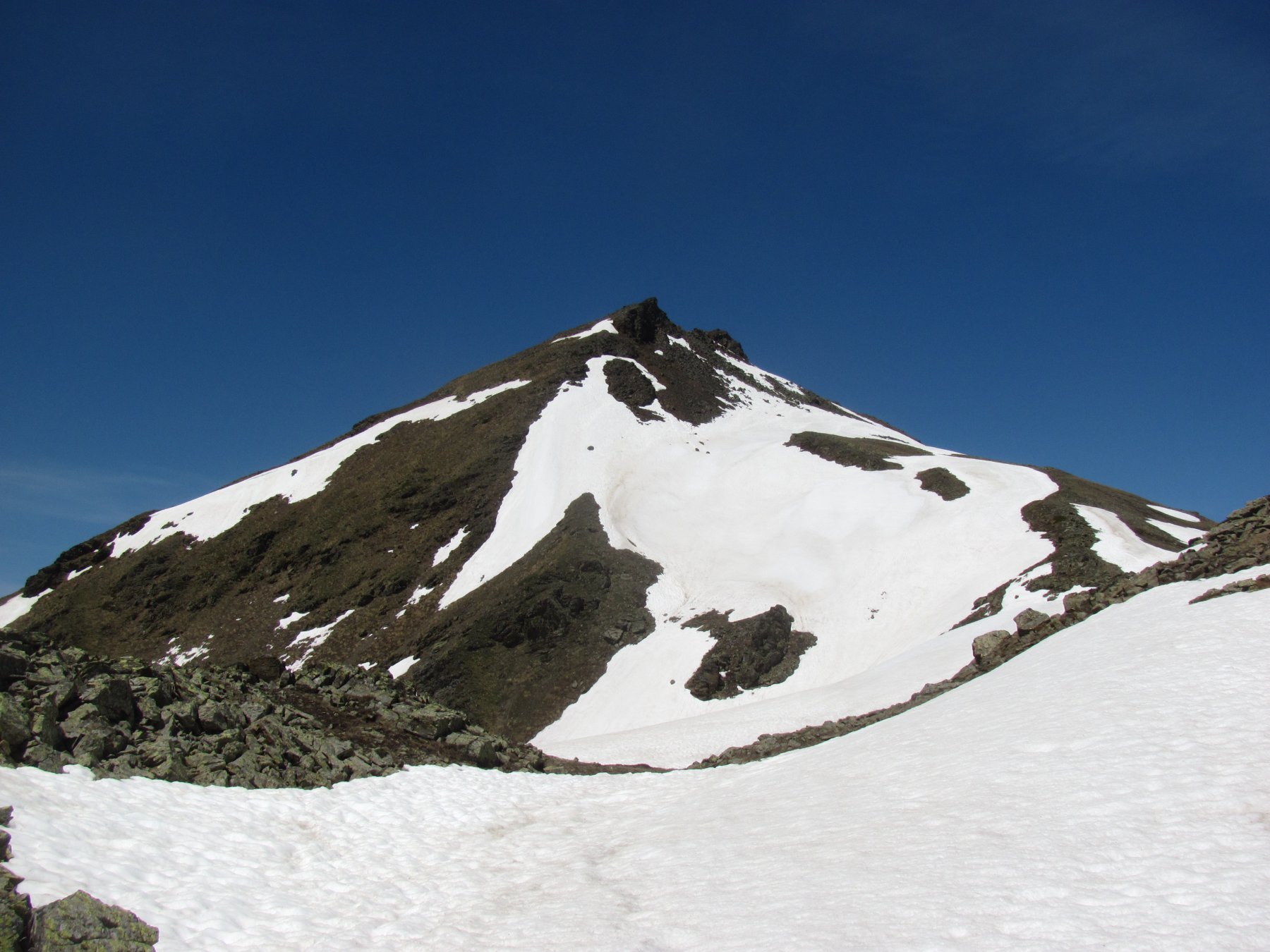
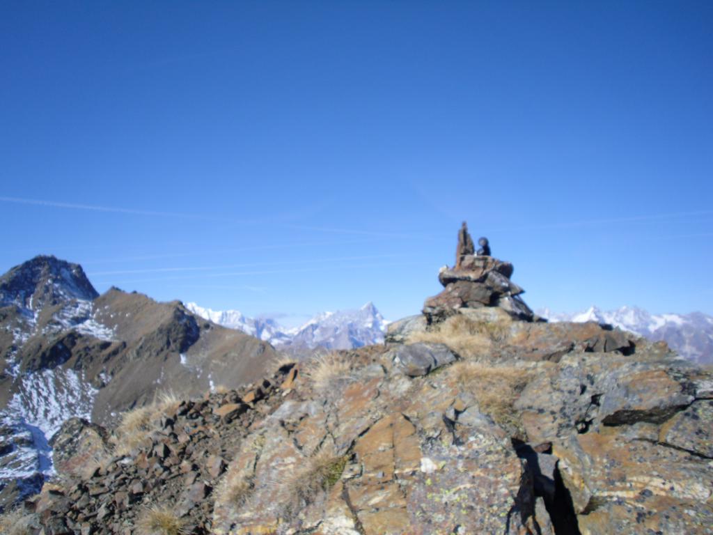
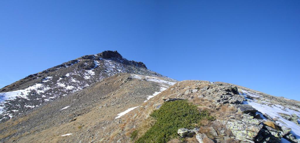
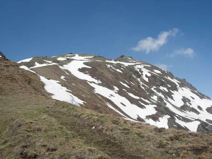
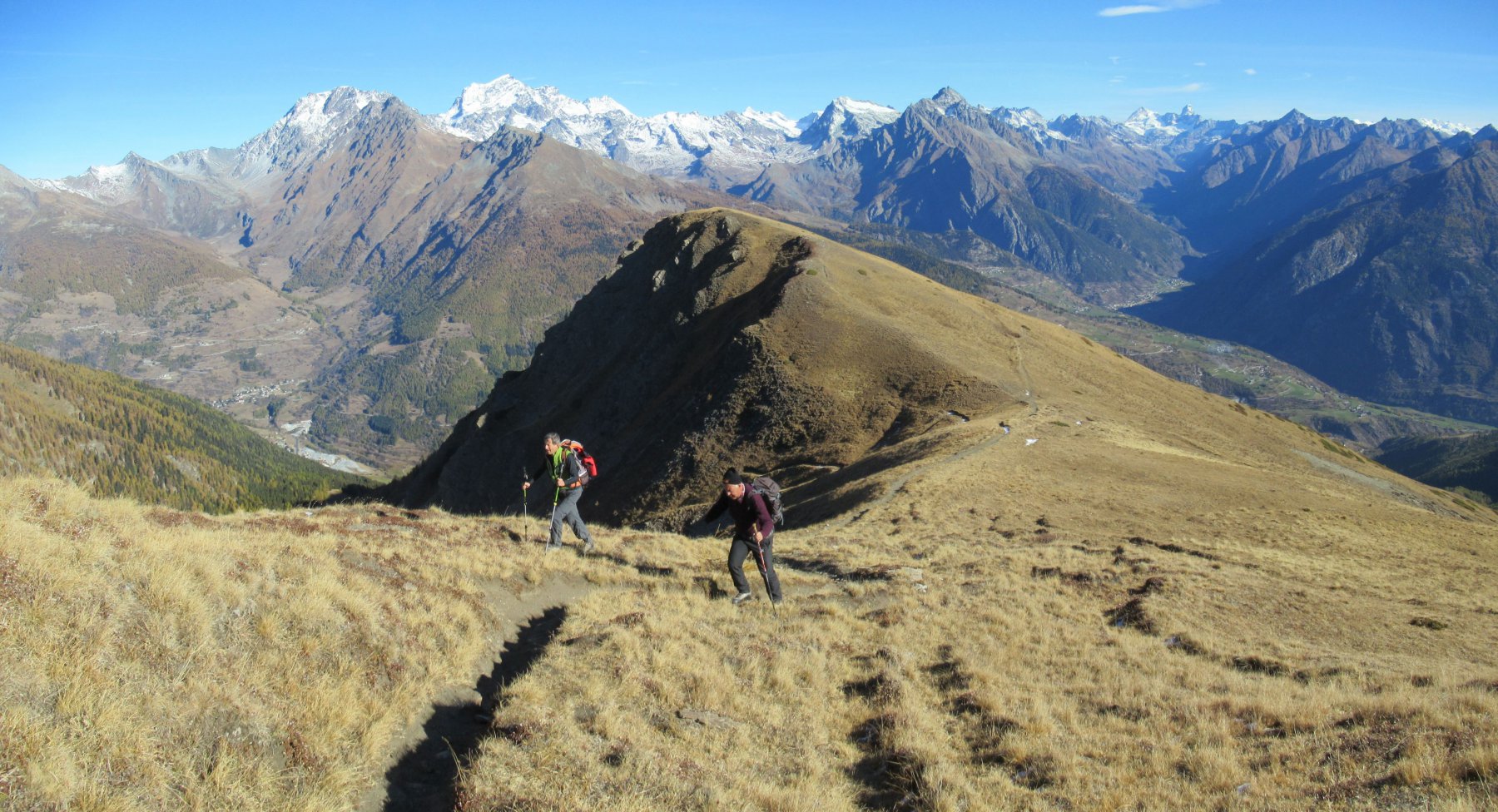
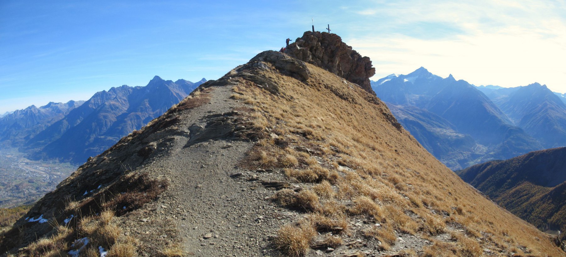
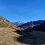
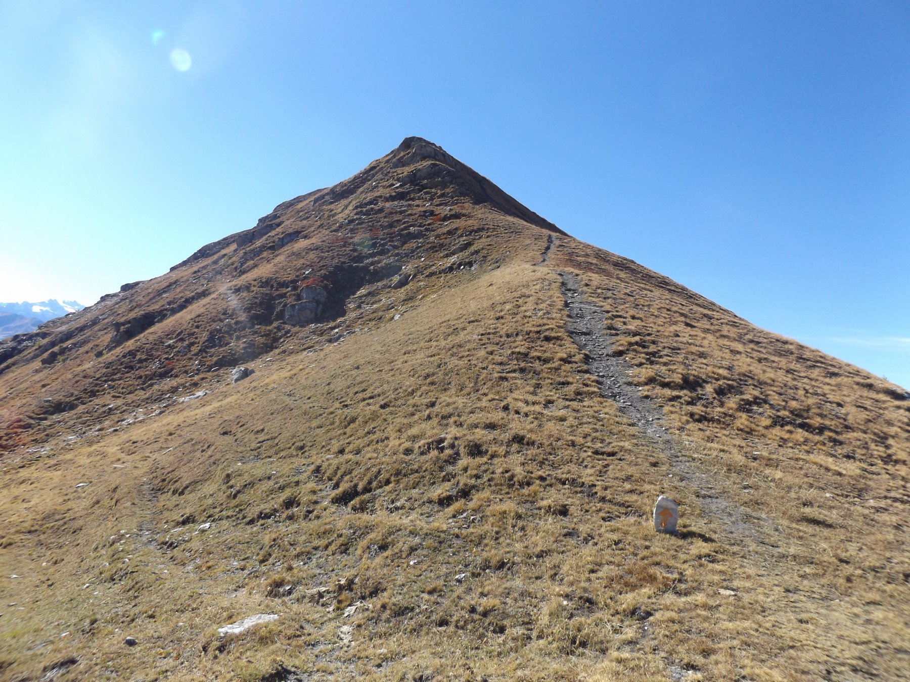
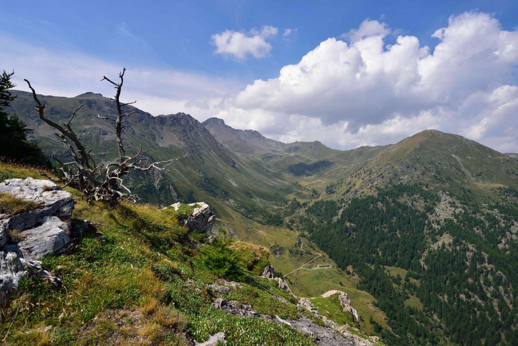
Seguire la interpoderale fino ad incontrare una deviazione, segnalata, sulla sinistra. Seguire il sentiero (3A) che ad un certo punto incrocia la poderale poco prima dell’Alpe Chaligne, m. 1934. Il sentiero (ora segnavia 2)si innalza nel bosco dietro l’alpeggio e raggiunge in breve il vasto pianoro erboso dell’Alpe Chaz de Chaligne, m. 2225. Risalire il pendio erboso in direzione Nord Nord Ovest e raggiungere il Passo Tardiva, m. 2410. Seguire ora la larga e facile dorsale erboso detritica in direzione Ovest. In ultimo salire su facile ripido terreno detritico alternato a blocchi, raggiungendo un intaglio tra le due sommità. La più alta è quella di sinistra che si raggiunge in pochissimi minuti. Ritornati sui propri passi fino al Passo Tardiva, seguire la cresta facile e quasi pianeggiante in direzione Sud fino alla vetta dell Punta Chaligne, m. 2608 (bellissima croce di vetta). Continuare in direzione Sud e raggiungere il Col de Met, m. 2485. Volendo si può salire in breve anche alla Pointe de Met, m. 2553. Dal Col de Met riprendere il sentiero n. 2 che riporta alla Chaz de Chaligne. Da qui seguire a ritroso il percorso.
- Cartografia:
- I.G.C. 1:50000 n.4 Monte Bianco
- Bibliografia:
- Guida C.A.I. - T.C.I. Alpi Pennine vol. II
Nelle vicinanze Mappa
Itinerari
10/11/2024 AO, Gignod D+ 740 m E Nord-Est
Tsa d’Ars (Alpe) da Buthier
 50m
50m
05/10/2016 AO, Gignod D+ 1080 m E Est
Metz (Pointe de) da Buthier
 50m
50m
05/07/2025 AO, Gignod D+ 1200 m EE Varie
Labiez (Mont) da Mendey, anello per la Grande Tête
50m
07/05/2026 AO, Gignod D+ 400 m E Est
Chaligne (Rifugio) da Mendey
 50m
50m
26/06/2026 AO, Gignod D+ 1088 m E Nord-Est
Chaligne (Pointe de) da Mendey, anello per Col de Tardiva e Rifugio Chaligne
 50m
50m
15/06/2026 AO, Gignod D+ 1100 m EE Nord-Est
Labiez (Mont) da Mendey per il Col d’Ars
 50m
50m
12/08/2025 AO, Allein D+ 1207 m EE Sud
Saron (Mont) da Bruson, anello
 2Km
2Km
21/02/2025 AO, Allein D+ 132 m T Sud-Ovest
Ru de Menouve da Comba all’Alpe Ponteille inferiore
2.9Km
21/02/2025 AO, Allein D+ 750 m E Sud-Est
Champillon – Letey Adolphe (Rifugio) da Comba per il Ru d’Allein
2.9Km
21/12/2025 AO, Gignod D+ 1064 m E Est
Chaligne (Rifugio) da Gignod
4Km
Servizi
2.9Km
 2.9Km
2.9Km
Echevennoz Posto Tappa Rifugio
Etroubles 3Km
3Km
L’Abri B&B
Etroubles
3.8Km
Chez Duclos Ristorante
Gignod
3.8Km
Chez Edi Ristorante
Gignod 4.3Km
4.3Km
Flavio Mario Dalle Professionisti
Etroubles 4.7Km
4.7Km
Maison Julie B&B
Etroubles 4.8Km
4.8Km
Camping Tunnel International Campeggio
Etroubles
4.9Km
Guido Letey – Noleggio con Conducente Servizi
Etrobles 5Km
5Km