2.8Km
2.8Km

Note
 50m
50m
50m
50m
50m
50m
50m
50m
50m
50m
50m
50m
50m
50m
50m
50m
50m
50m
50m
50m
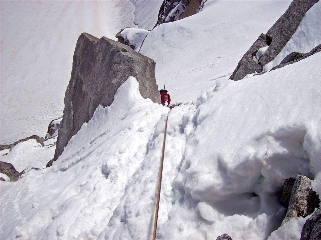
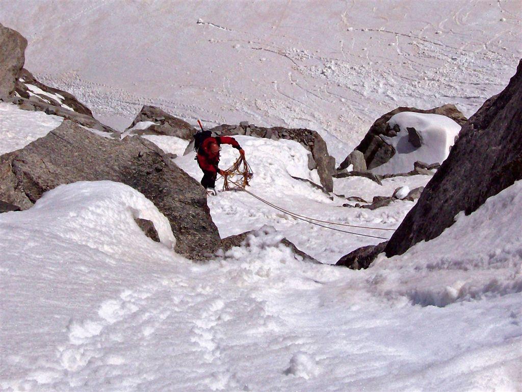
Il pendio che consente l'accesso alla cresta finale è purtroppo tristemente famoso per le sue vittime. All'apparenza innocuo, in realtà è esposto alla caduta di sassi in ogni stagione ed al distacco spontaneo di slavine quando carico di neve.
Si consiglia di rinunciare alla salita nel caso di affollamento della via, in presenza di neve recente e nella stagione di scioglimento.
Il dislivello tiene conto delle risalite, anche al ritorno.
Avvicinamento
Si consiglia di rinunciare alla salita nel caso di affollamento della via, in presenza di neve recente e nella stagione di scioglimento.
Il dislivello tiene conto delle risalite, anche al ritorno.
,
Descrizione
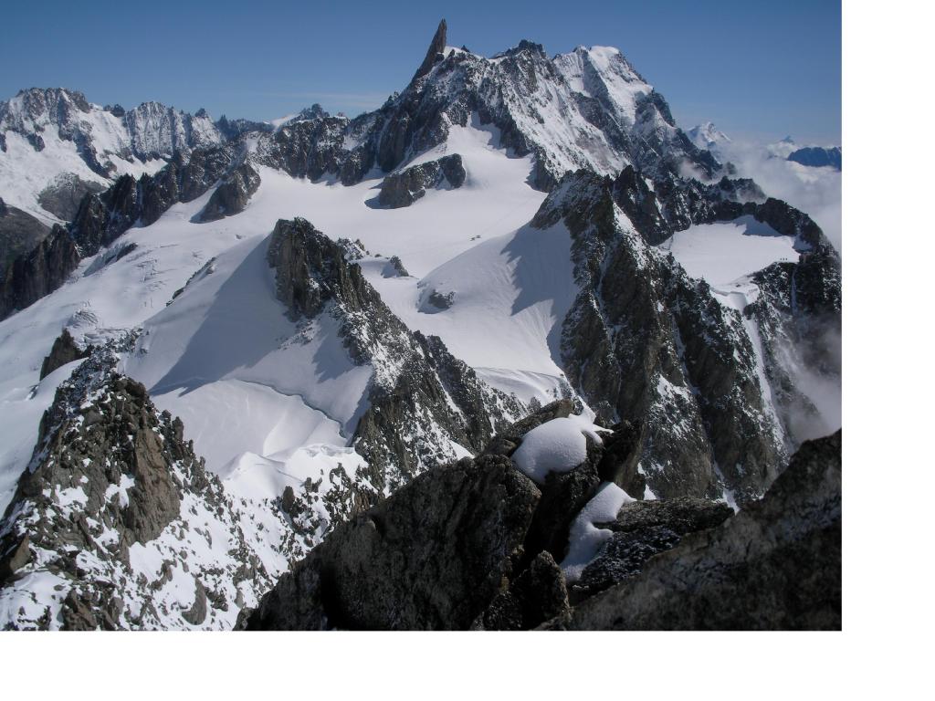
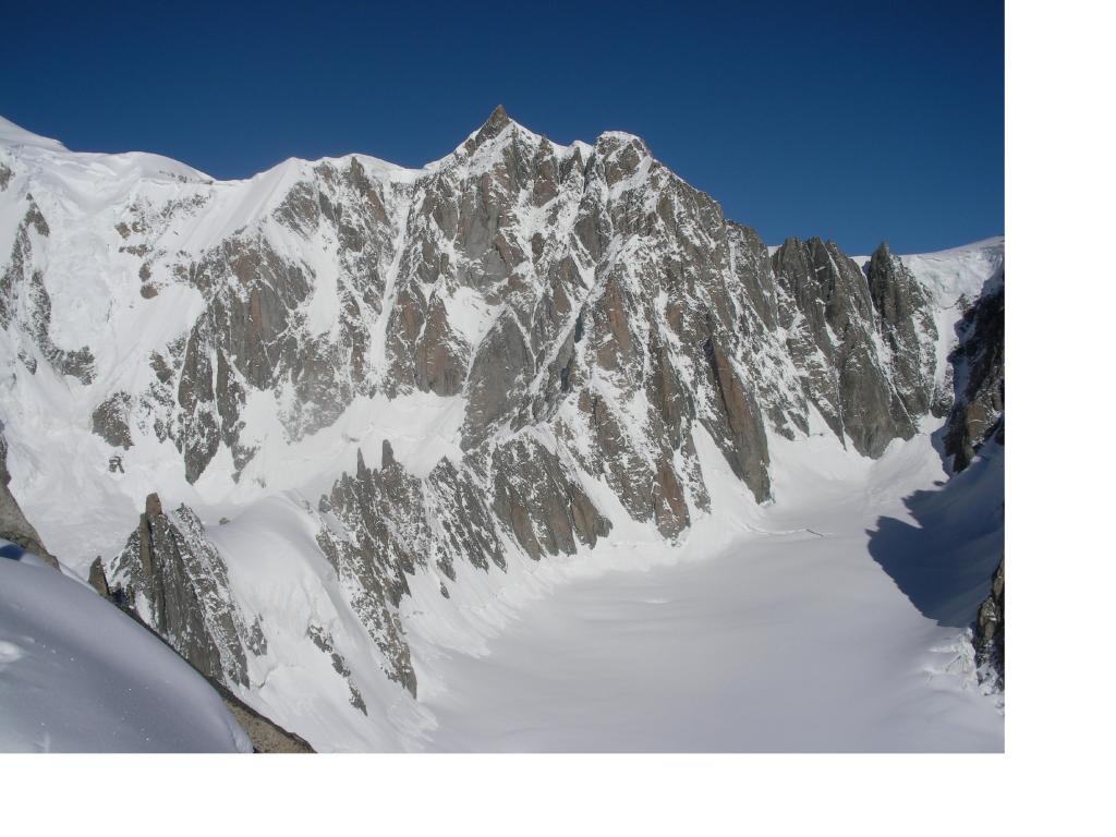
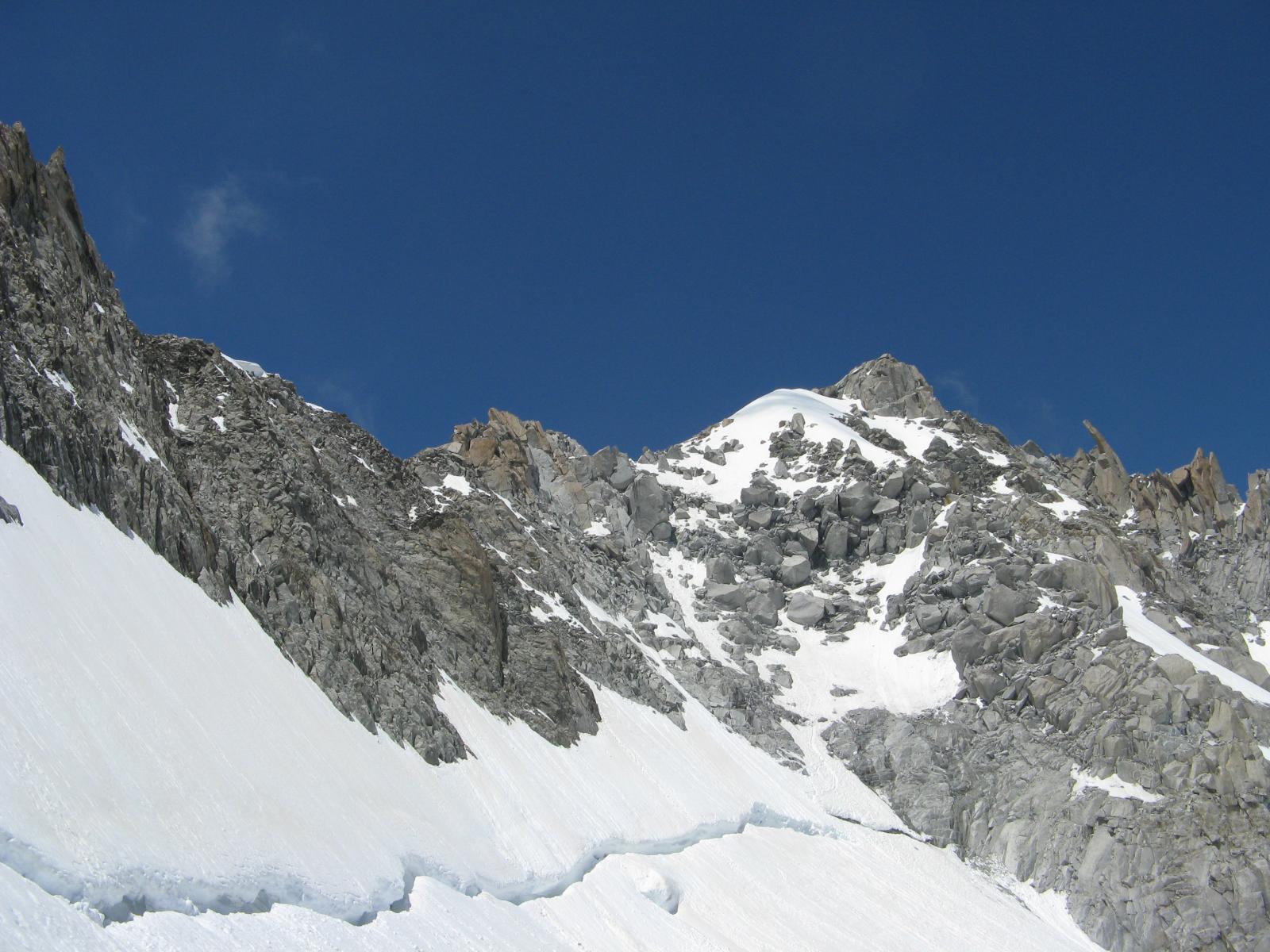
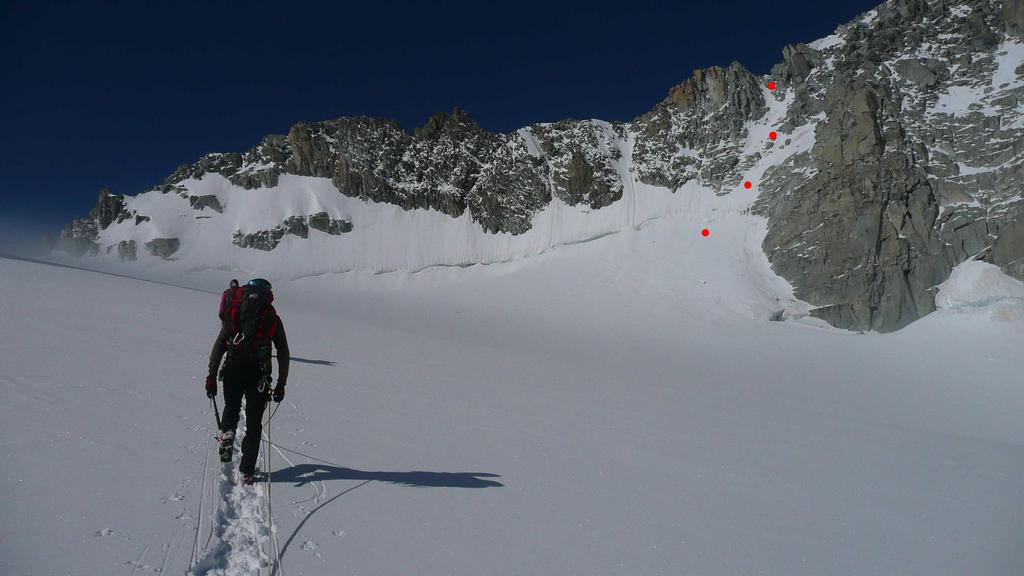
Da Punta Helbronner si raggiunge il Col Des Flambeaux a 3407 m. e si ridiscende poi a sinistra lambendo le pendici della parete nord dell’Aiguille De Toula abbassandosi fino a circa 3280 m.
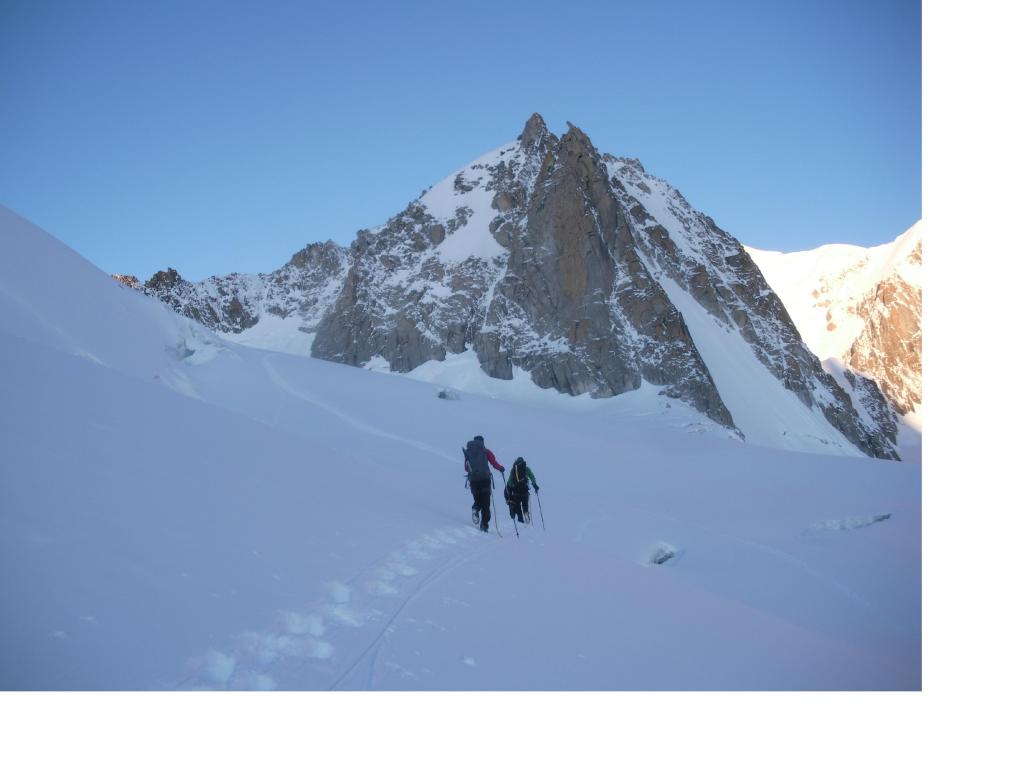
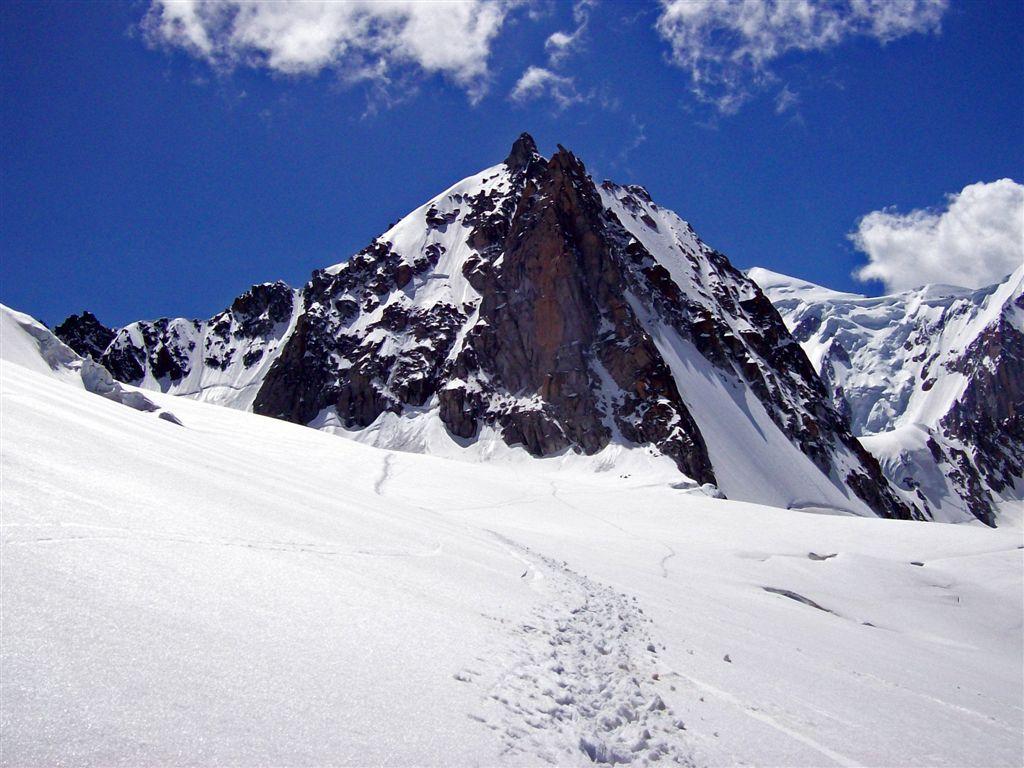
Si risale ora il ghiacciaio in direzione della dorsale che sorregge la cresta est della Tour Ronde dove essa si congiunge al corpo principale della montagna.
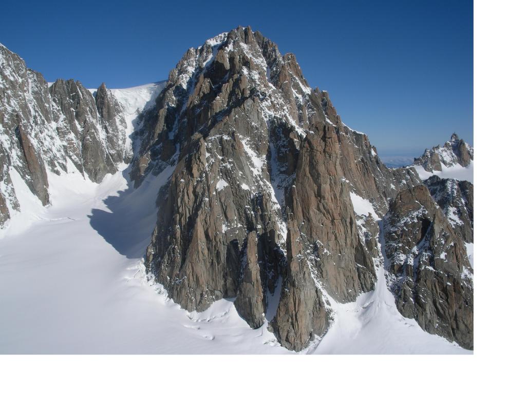
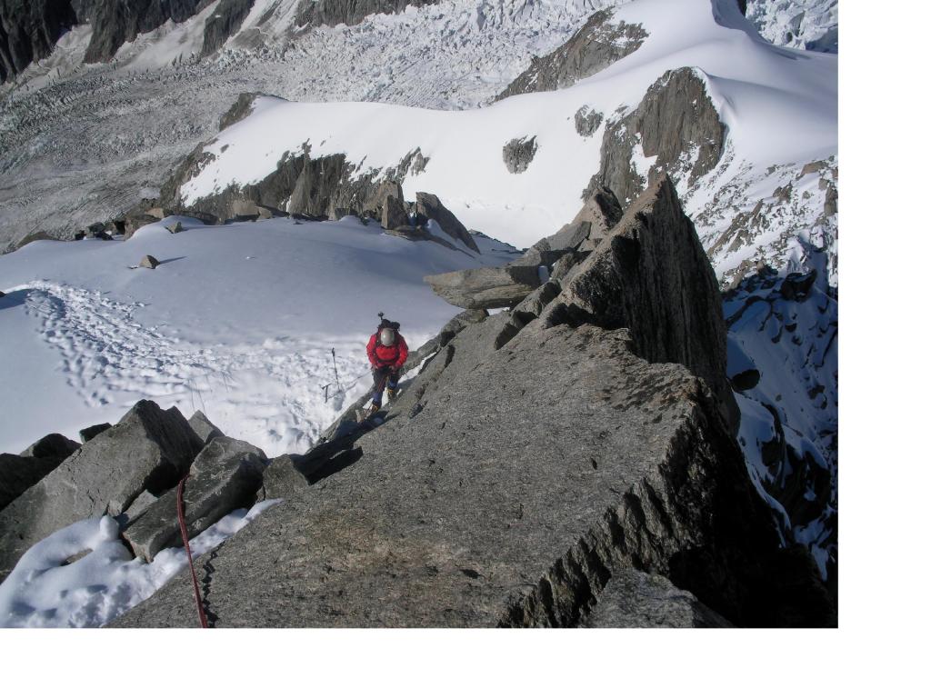
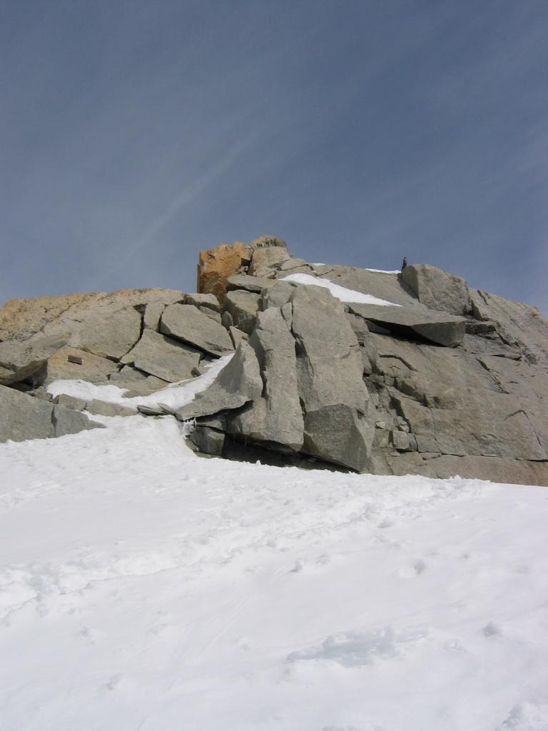
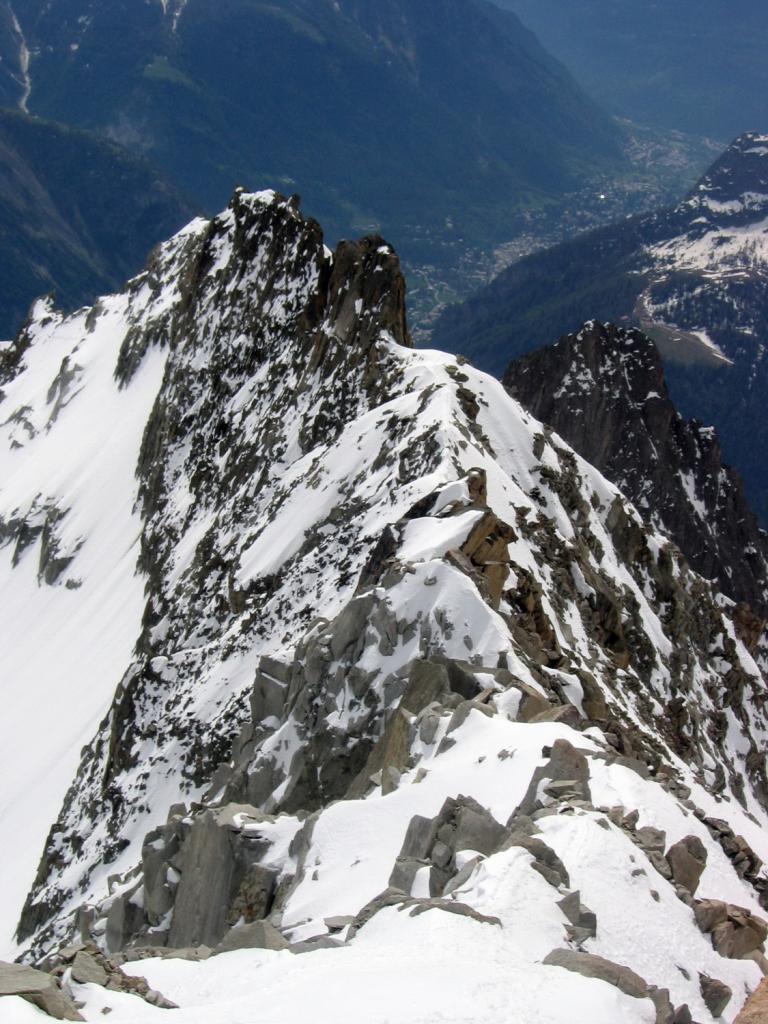
Si risale ora esattamente sotto la verticale del Colle Freshfield che si raggiunge aggirando la crepaccia terminale (talvolta difficile) e le rocce affioranti del pendio inclinato a circa 45°. Dal colle a 3695 m per l’evidente cresta prima di misto, quindi nevosa si raggiungono gli ultimi metri di elementari roccette.
Discesa per la via di salita (doppie possibili per la discesa dal colle alla terminale)
E’ anche possibile salire (e scendere) il pendio/canale a dx del canale adducente al Colle Freshfield, più diretto, ma esposto a NE e quindi più colpito dal sole.
- Bibliografia:
- GMI MOnte Bianco it. 152b
Nelle vicinanze Mappa
Itinerari
10/04/2025 AO, Courmayeur D+ 200 m TD+ Nord
Grand Flambeau, settore Cuori di Ghiaccio – Koala Pirla
 50m
50m
17/06/2026 AO, Courmayeur D+ 800 m D+ Sud
Tacul (Mont Blanc du) – Aiguille du Diable Traversata dal Rifugio Torino
 50m
50m
21/02/2023 AO, Courmayeur D+ 212 m F Sud-Est
Toules (Aiguille des) Via Normale
 50m
50m
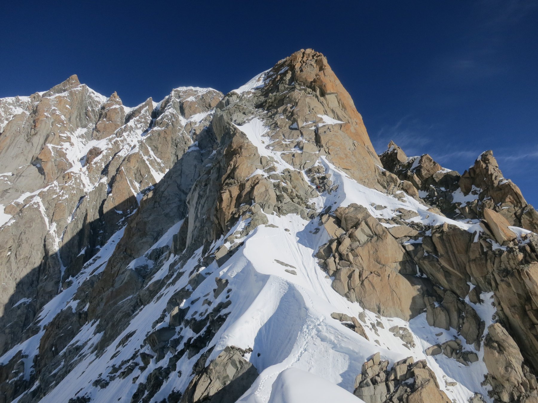
18/06/2026 AO, Courmayeur D+ 1300 m D Sud-Est
Maudit (Mont) Cresta Kuffner
 50m
50m
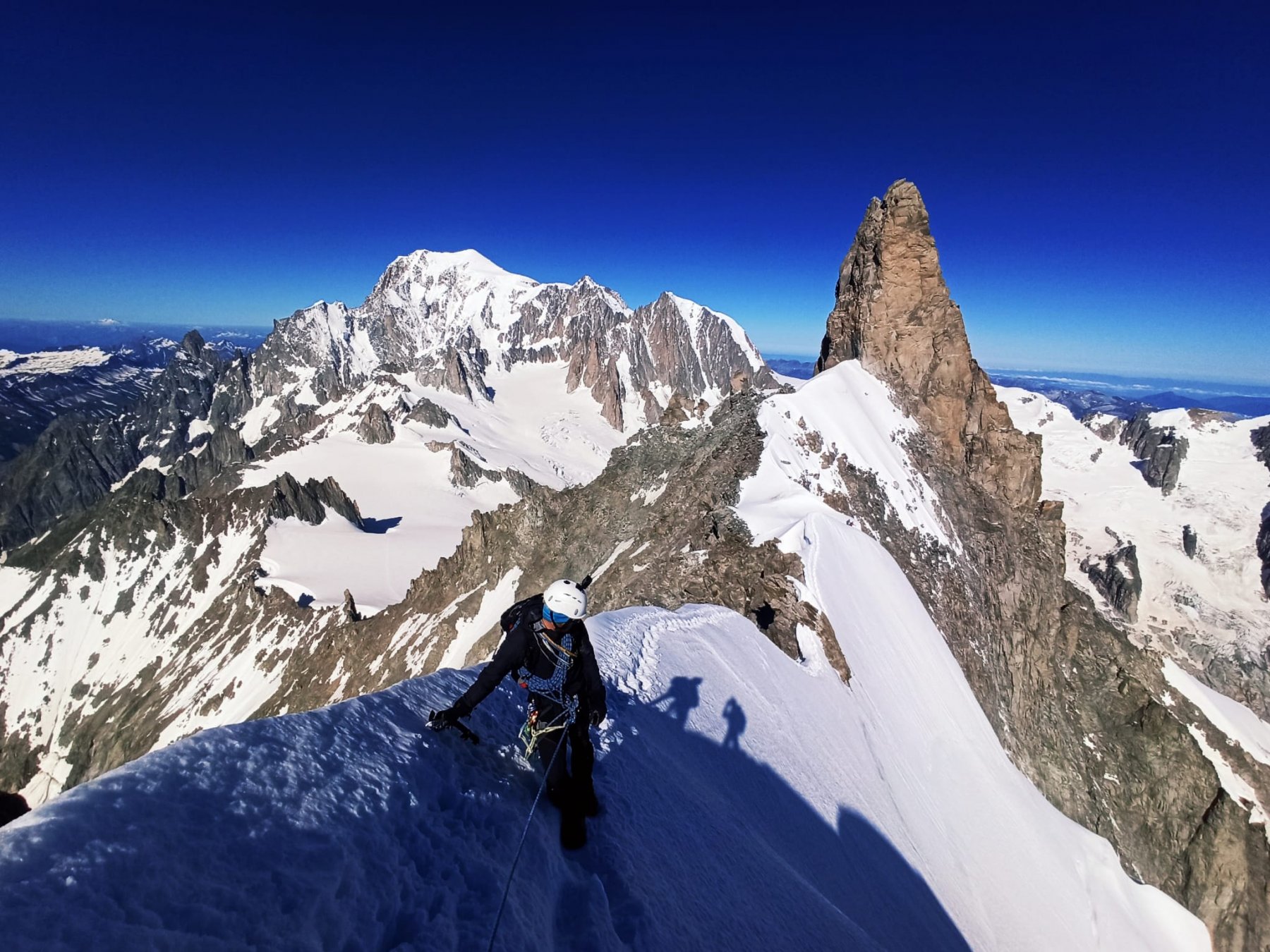
11/07/2025 AO, Courmayeur D+ 900 m AD Varie
Rochefort (Aiguille e Dome de) Cresta di Rochefort
 50m
50m
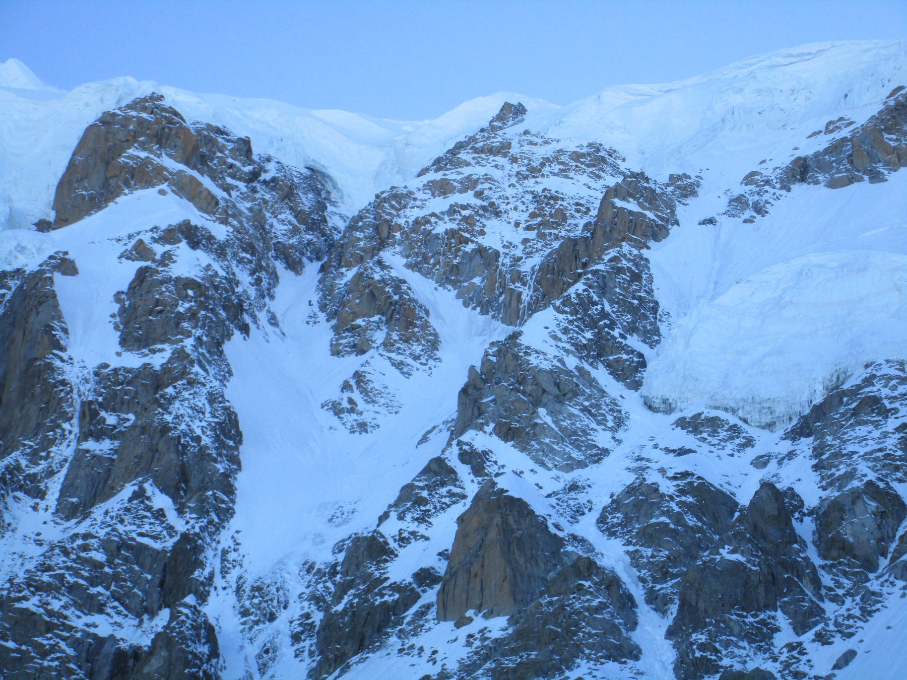
05/07/2020 AO, Courmayeur D+ 1600 m D Est
Bianco (Monte) – Sentinella Rossa
 50m
50m
11/06/2026 AO, Courmayeur D+ 350 m AD Varie
Entreves (Aiguille d’) Cresta SO
 50m
50m
17/07/2024 AO, Courmayeur D+ 800 m F Varie
Vallèe Blanche traversata Punta Helbronner-Aiguille du Midi
 50m
50m
11/07/2016 AO, Courmayeur D+ 900 m PD+ Sud-Ovest
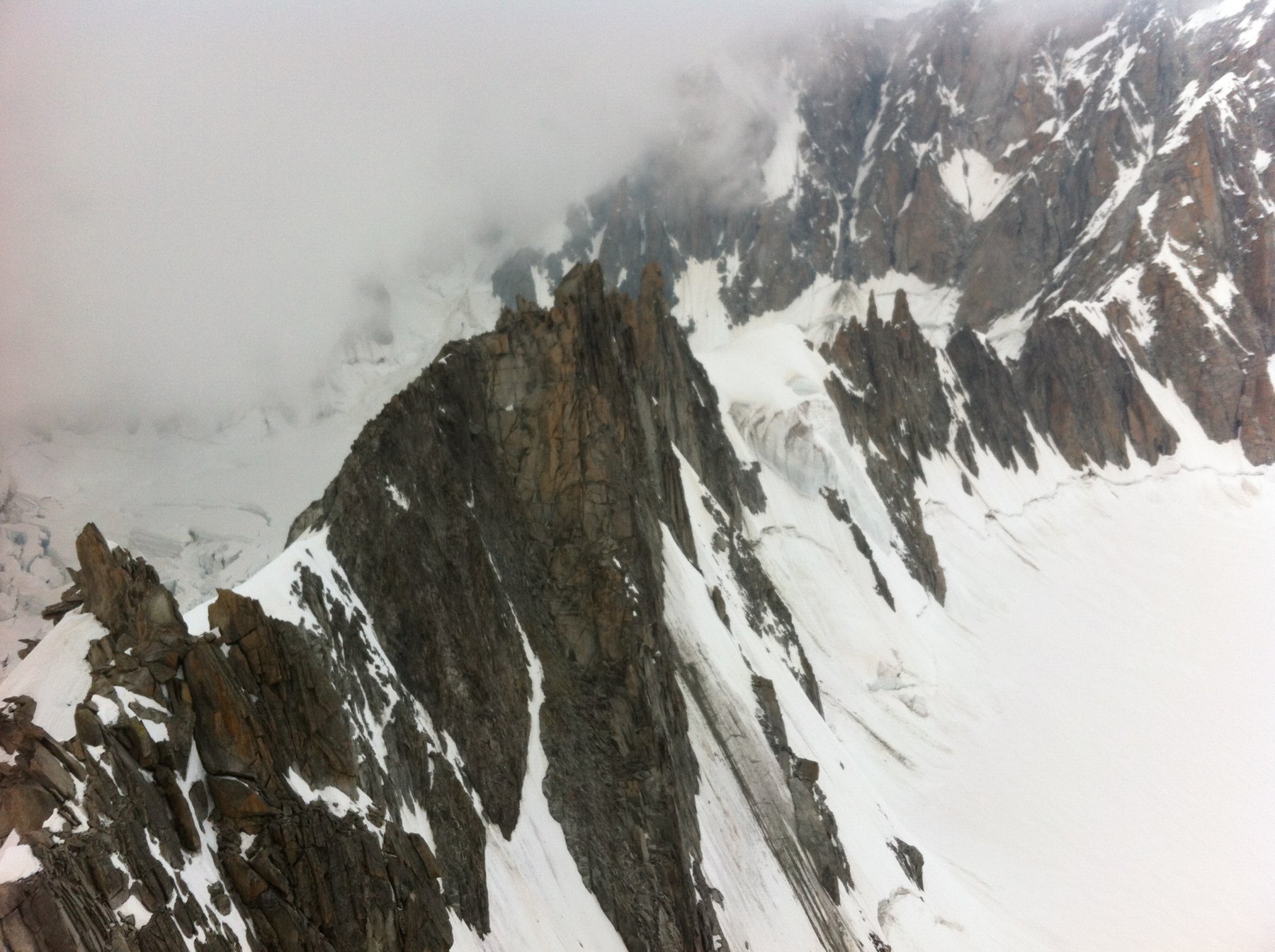
Tour Ronde Cresta SO dal Col du Trident
 50m
50m
14/07/2024 AO, Courmayeur D+ 850 m F Varie
Lachenal (Pointe) Via Normale da Punta Helbronner
 50m
50m