 2.8Km
2.8Km
Note
 0m
0m
50m
50m
50m
50m
50m
50m
50m
50m
0m
0m
50m
50m
50m
50m
50m
50m
50m
50m
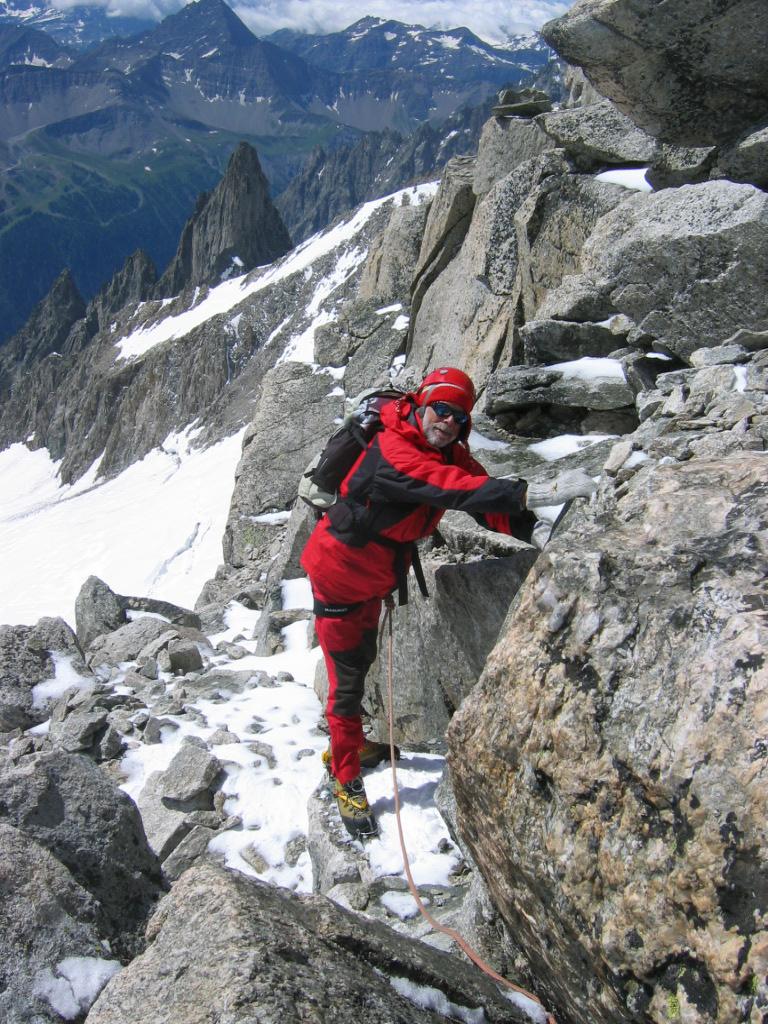
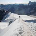
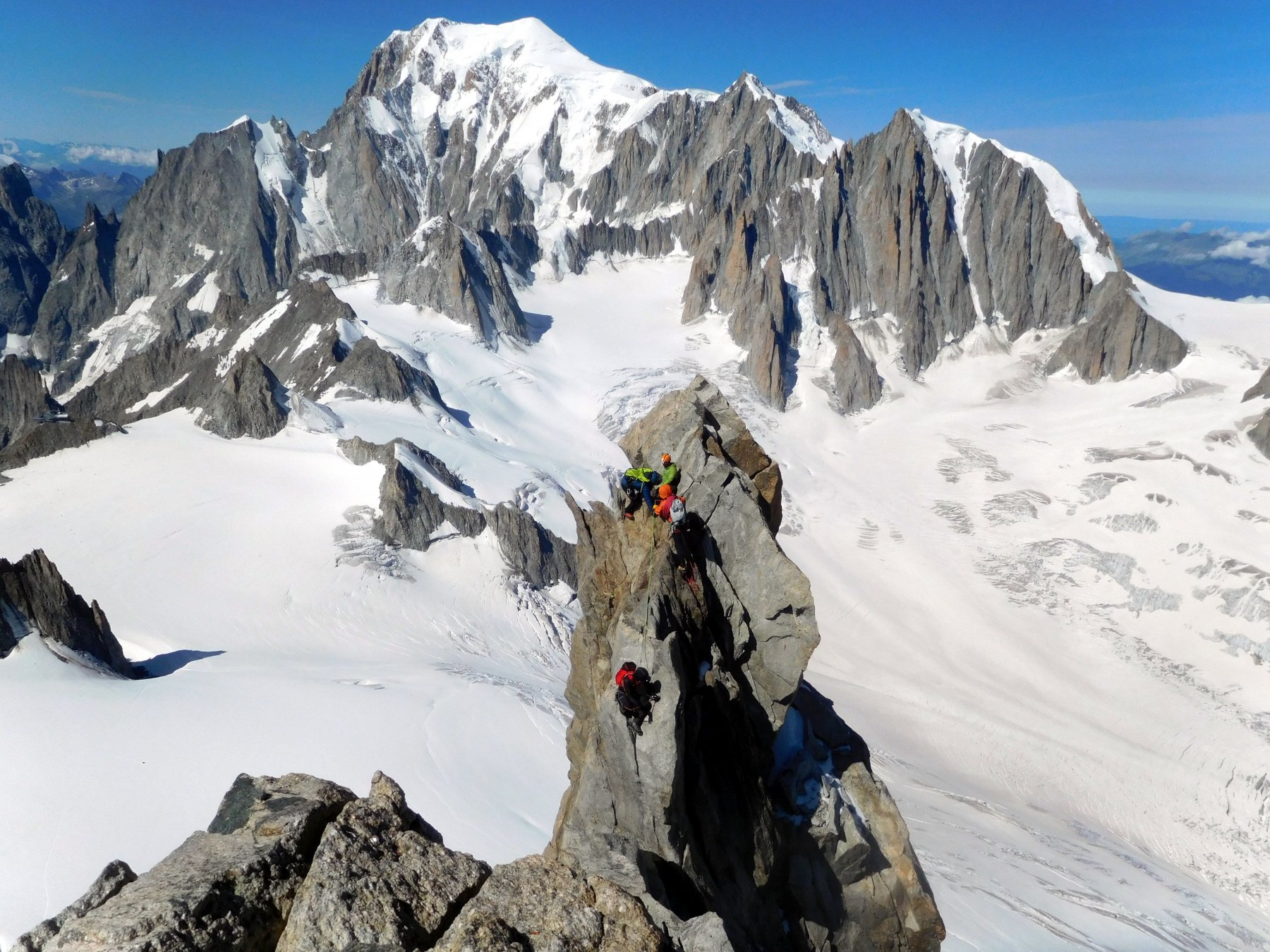
Bella salita in misto per pendio nevoso e qualche passaggio di I e II grado.
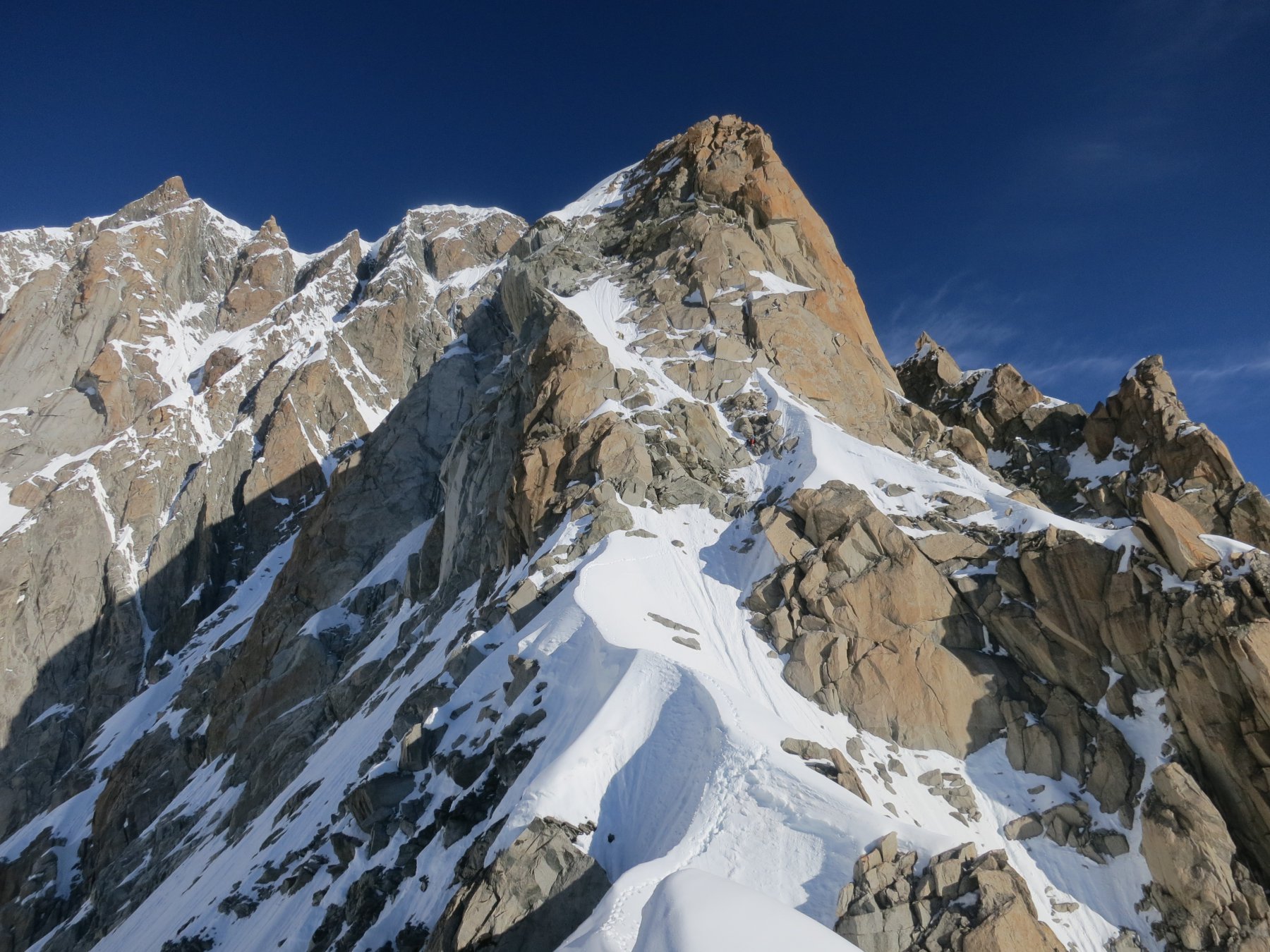
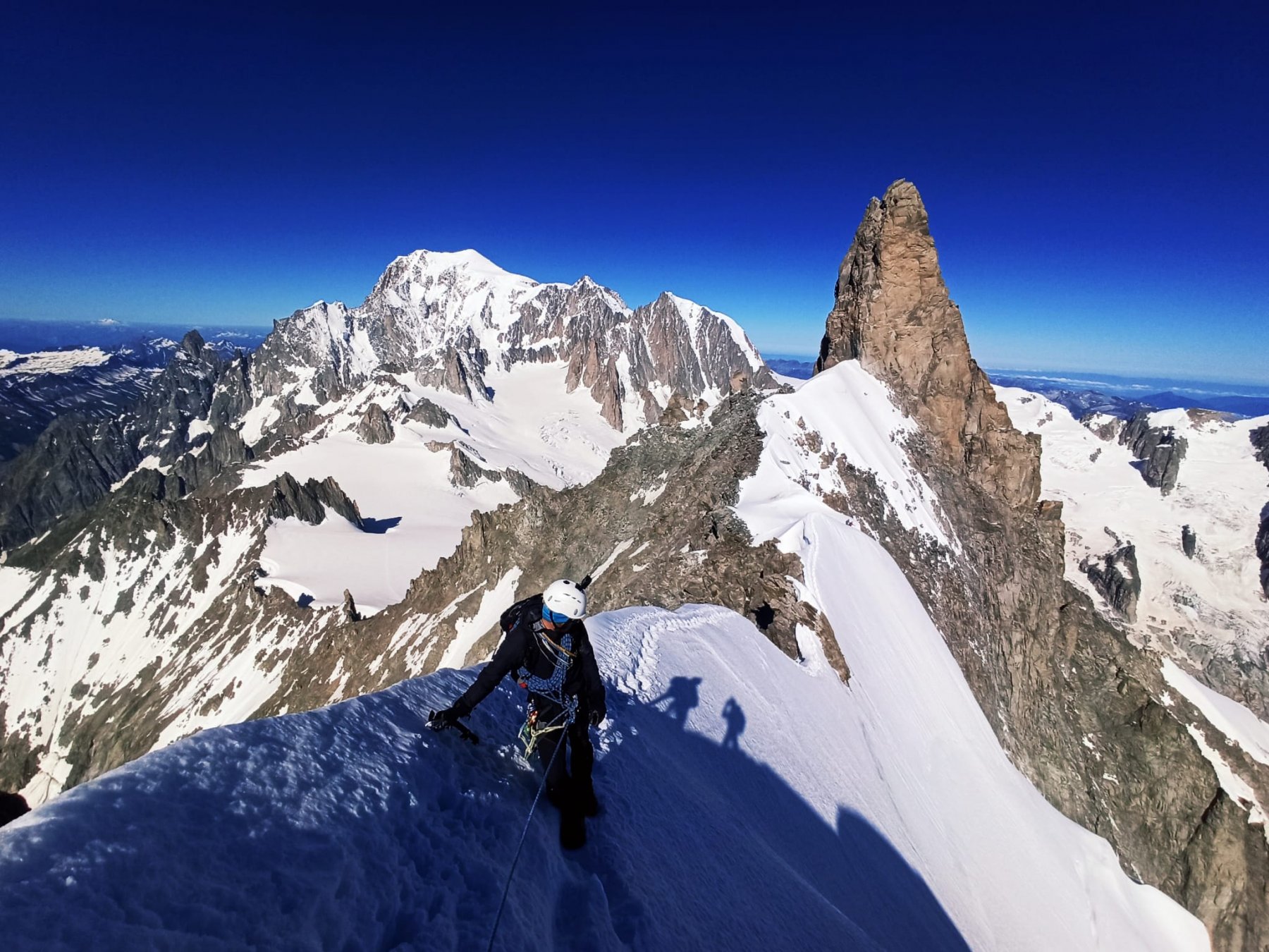
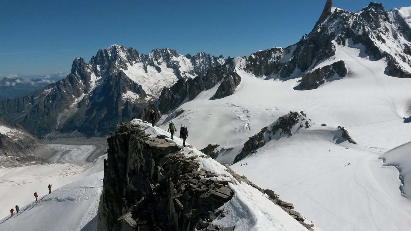
Bella vista sul Bianco e Tour Ronde.
Avvicinamento
Bella vista sul Bianco e Tour Ronde.
.
Descrizione
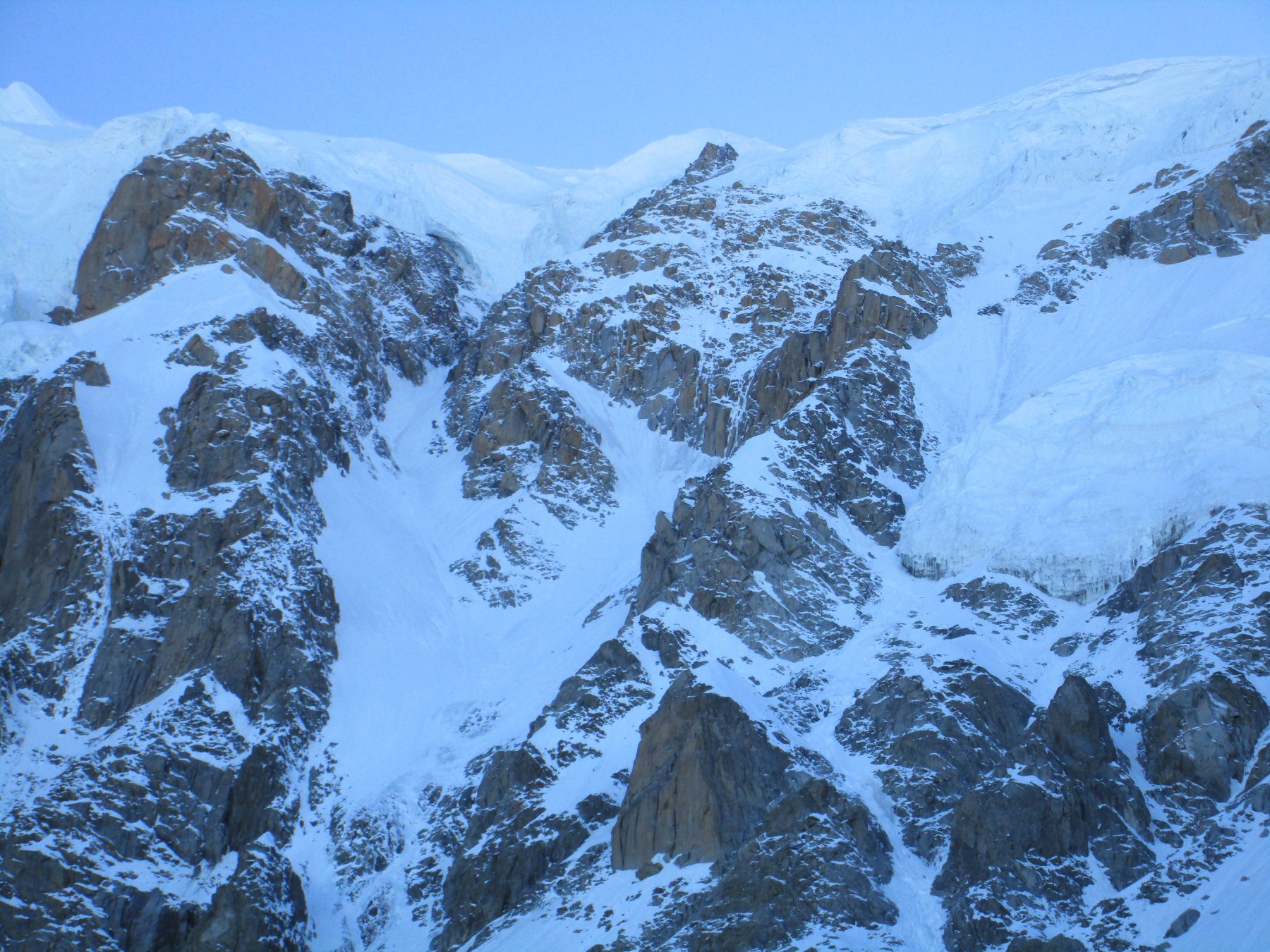
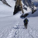
Dal Rifugio Torino si prosegue fino al col des Flambeaux 3407. Si attraversa in diagonale verso sinistra sotto il Grand Flambeau, fino a raggiungere il Colle Orientale del Toula, situato tra l’Aiguille de Toula e il Grand Flambeau.
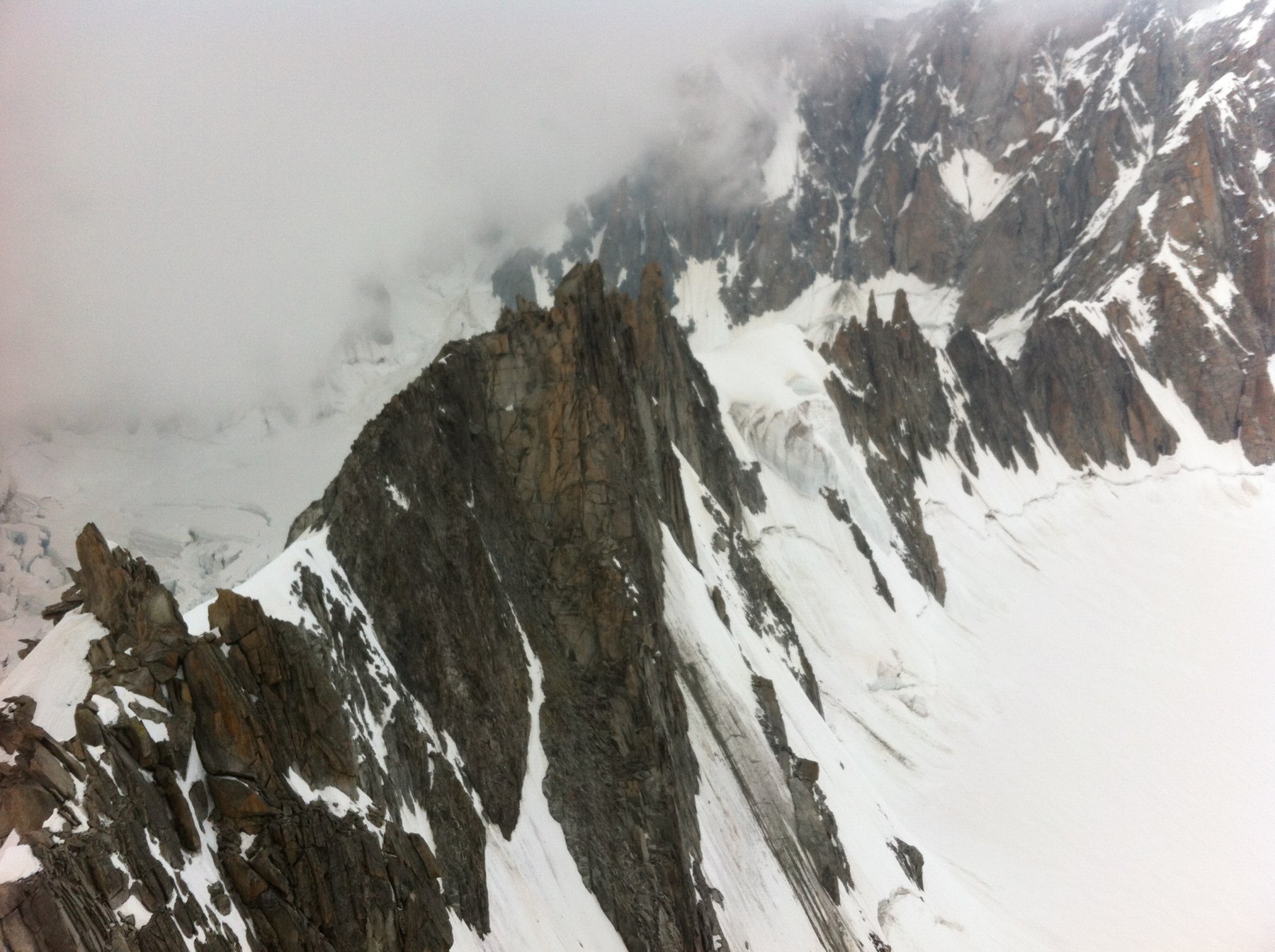
Dopo breve pendio sui 40° si attacca la salita che deve essere effettuata con attenzione a causa della stabilità non sempre impeccabile della roccia.
In trenta minuti circa di salita si perviene alla cima con ometto.
- Cartografia:
- Carta 1:30000-Meridiani Montagne
Nelle vicinanze Mappa
Itinerari
18/06/2026 AO, Courmayeur D+ 1300 m D Sud-Est
Maudit (Mont) Cresta Kuffner
 0m
0m
11/07/2025 AO, Courmayeur D+ 900 m AD Varie
Rochefort (Aiguille e Dome de) Cresta di Rochefort
 0m
0m
05/07/2020 AO, Courmayeur D+ 1600 m D Est
Bianco (Monte) – Sentinella Rossa
 50m
50m
11/06/2026 AO, Courmayeur D+ 350 m AD Varie
Entreves (Aiguille d’) Cresta SO
 50m
50m
17/07/2024 AO, Courmayeur D+ 800 m F Varie
Vallèe Blanche traversata Punta Helbronner-Aiguille du Midi
 50m
50m
11/07/2016 AO, Courmayeur D+ 900 m PD+ Sud-Ovest
Tour Ronde Cresta SO dal Col du Trident
 50m
50m
14/07/2024 AO, Courmayeur D+ 850 m F Varie
Lachenal (Pointe) Via Normale da Punta Helbronner
 50m
50m
08/06/2025 AO, Courmayeur D+ 400 m PD- Ovest
Toules (Aiguilles des) Versante NO e cresta NO
 50m
50m
02/06/2023 AO, Courmayeur D+ 250 m PD+ Varie
Vierge (la) da Punta Helbronner
 50m
50m
23/06/2026 AO, Courmayeur D+ 638 m AD Sud-Ovest
Dente del Gigante Via Normale
 50m
50m


