2.8Km
2.8Km
Note
 0m
0m
0m
50m
50m
50m
50m
50m
50m
50m
0m
0m
0m
50m
50m
50m
50m
50m
50m
50m
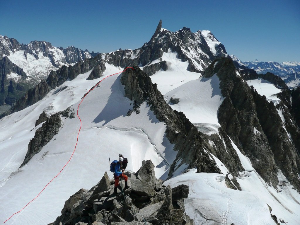
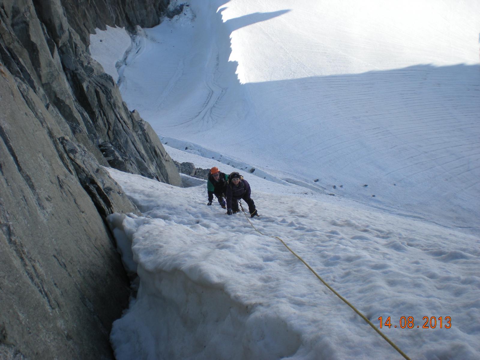
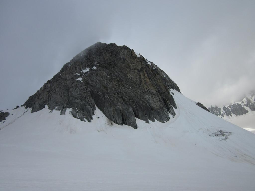
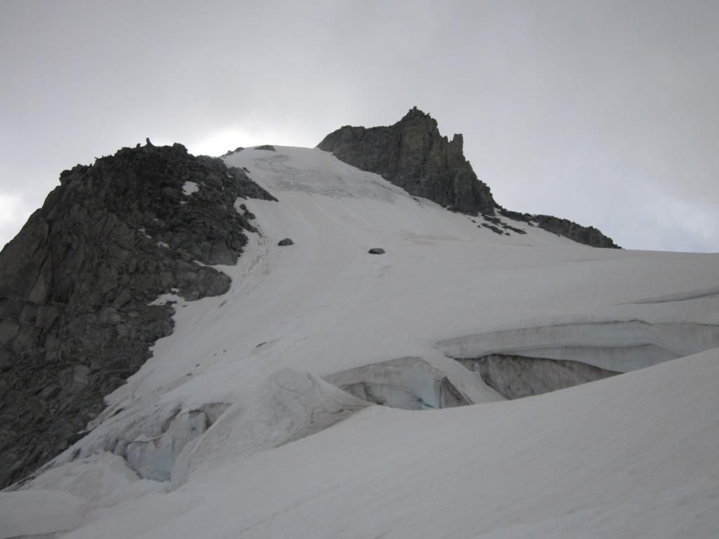
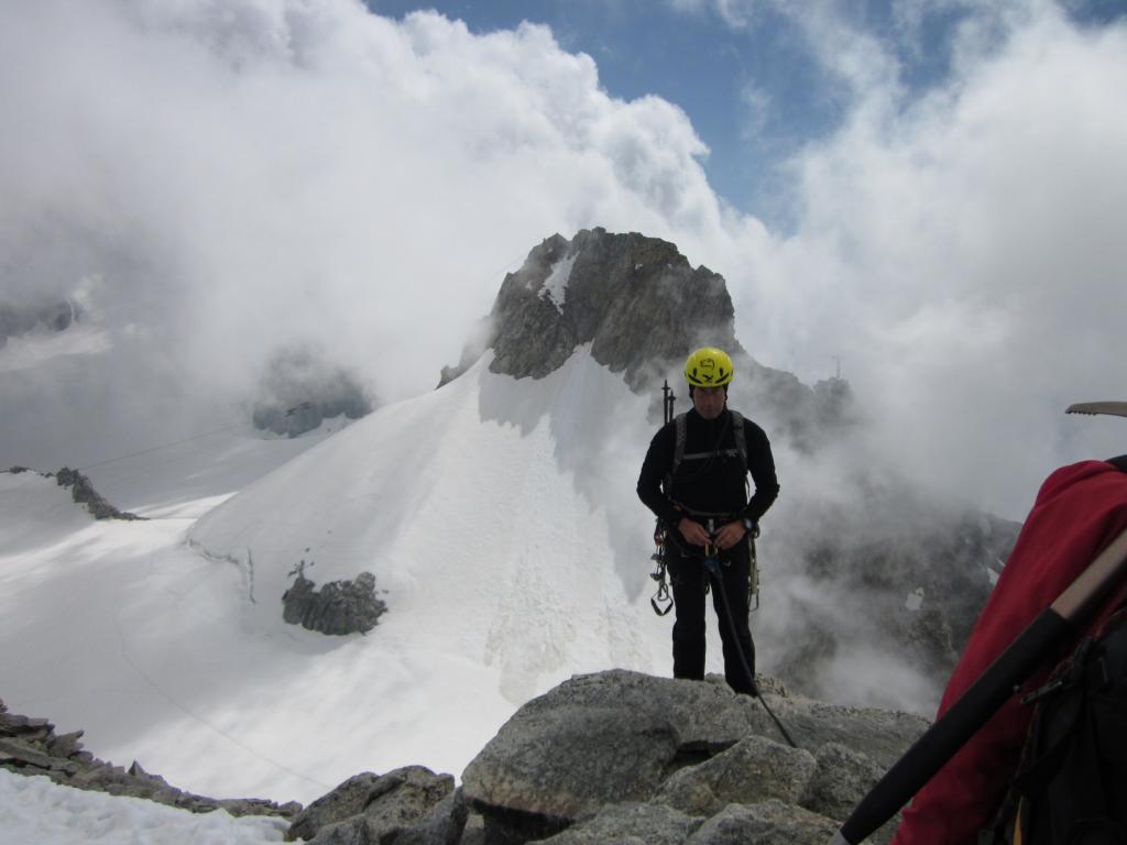
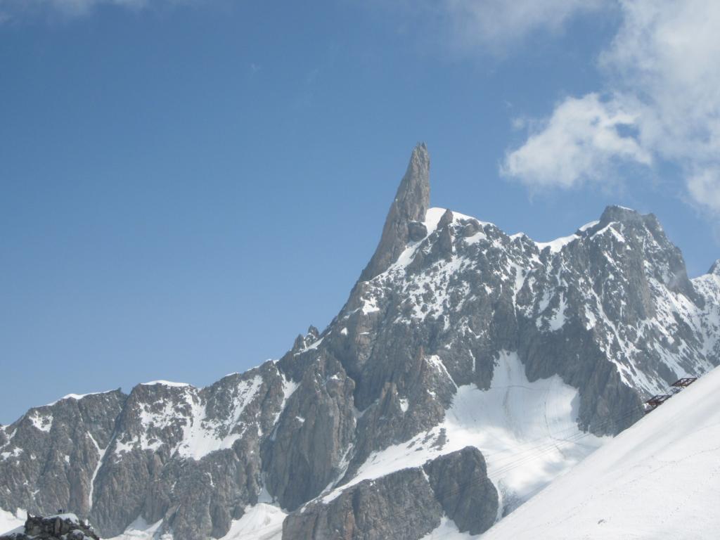
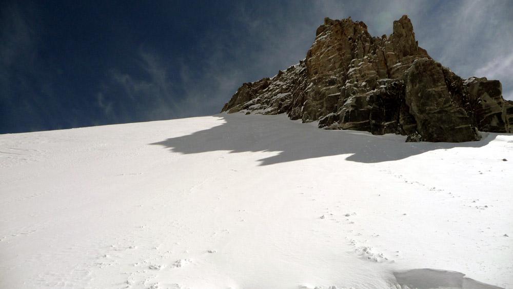
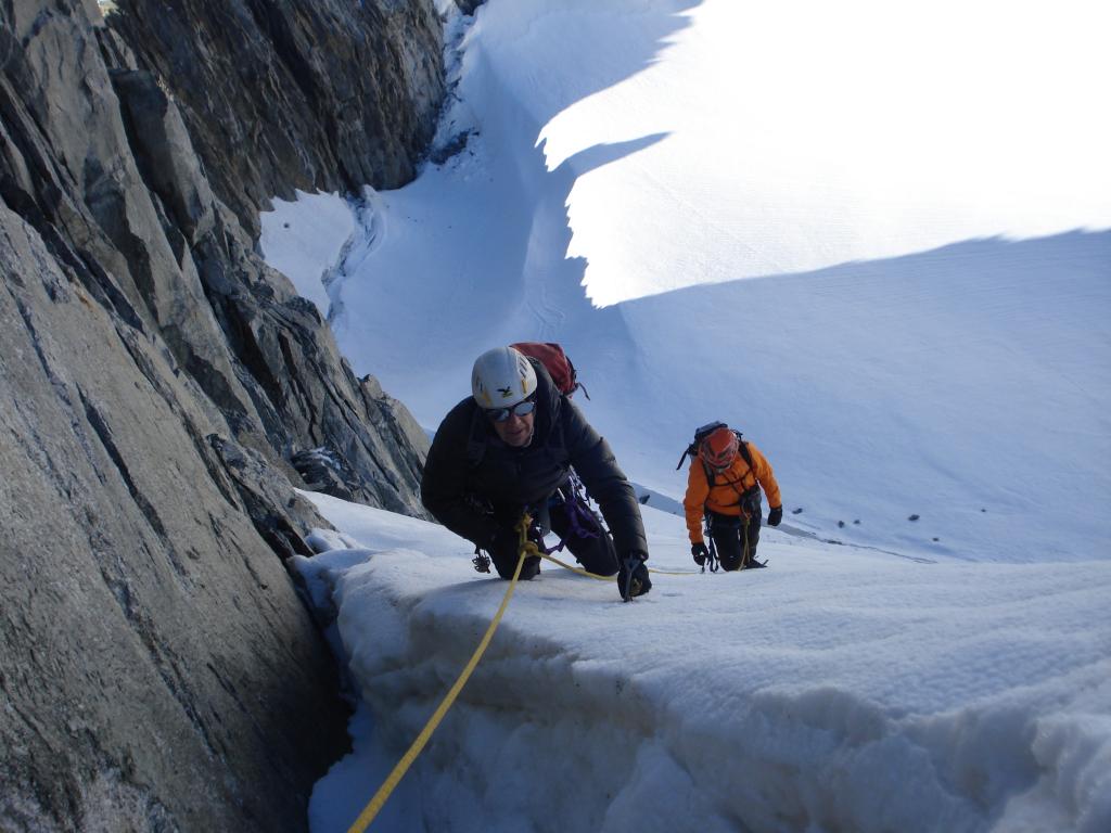
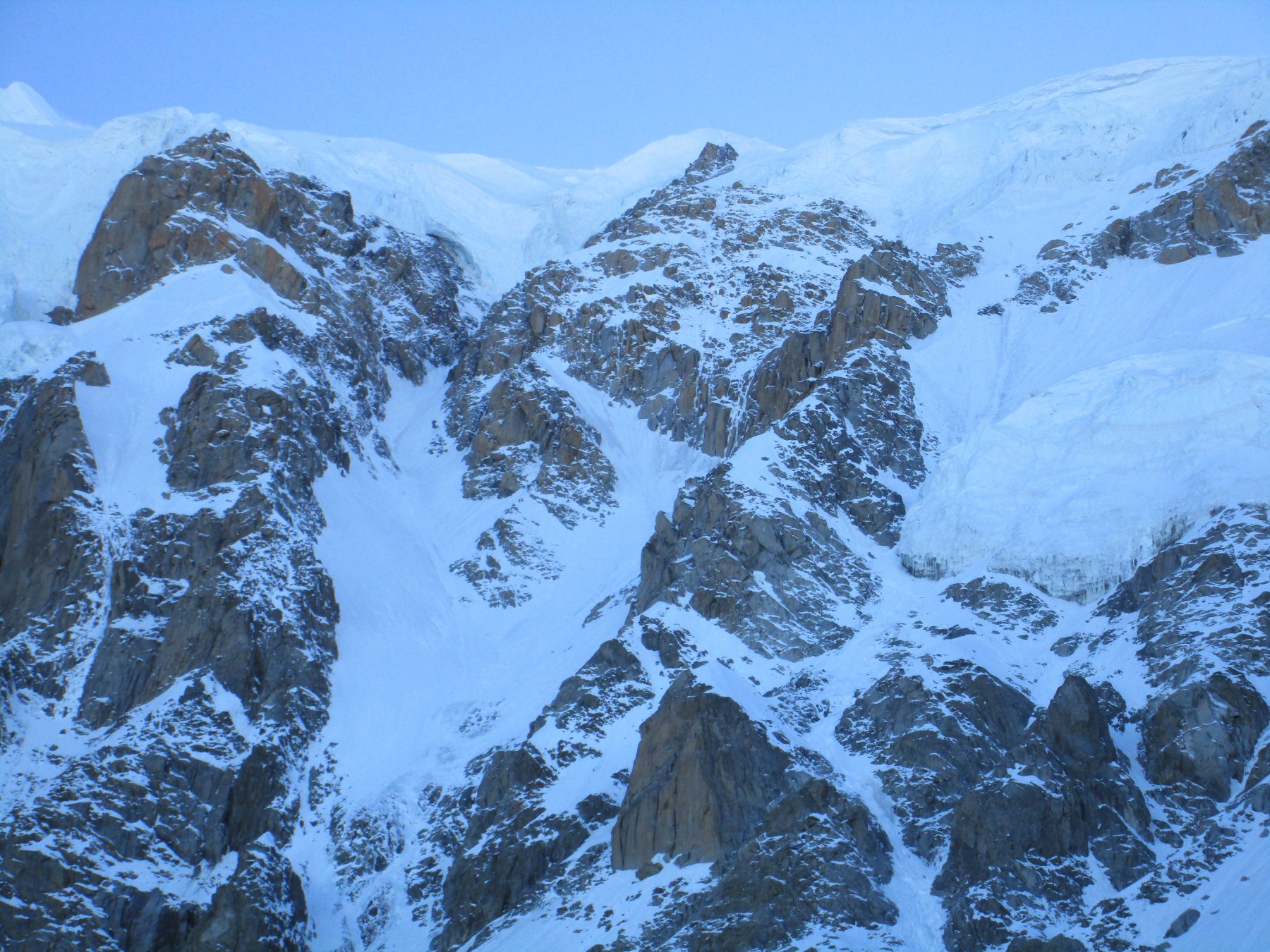
Scivolo nevoso a sx della cresta W pendenza max 45° attacco dal Col des Toules occidentale.
Avvicinamento
.
Descrizione
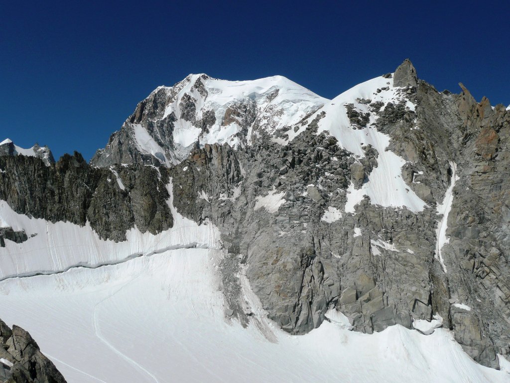
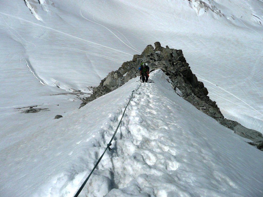
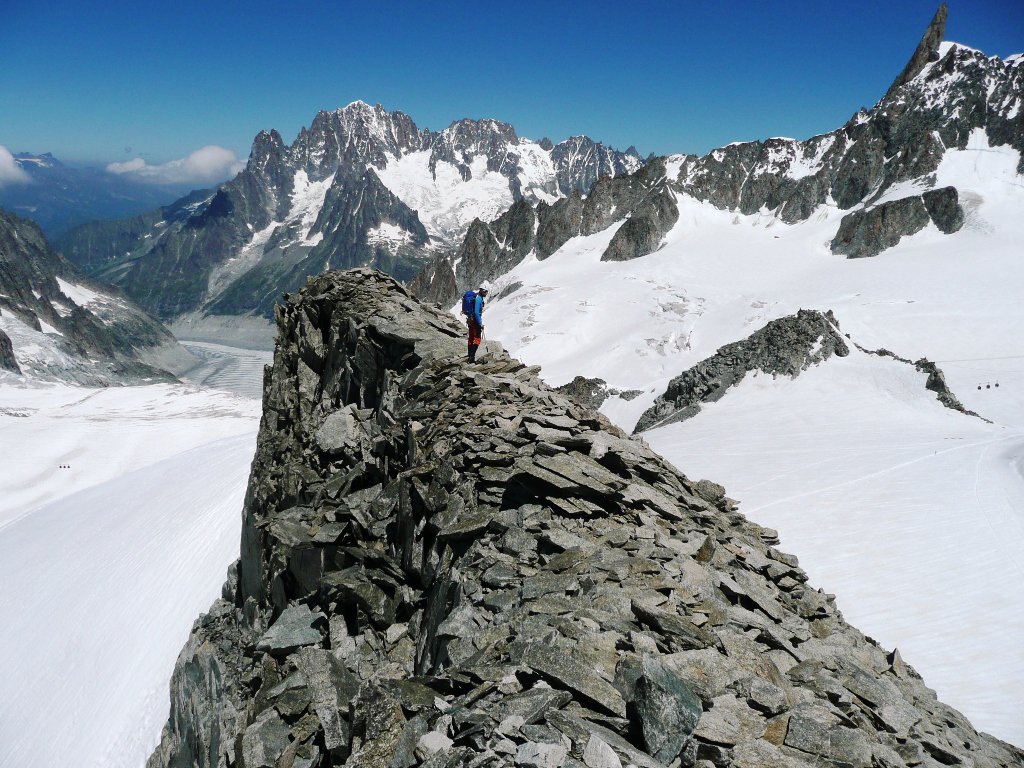
Da La Palud in funivia al Rifugio Torino. Da qui si va a scavalcare il Col des Flambeaux m.3407 e si scende sulla sx fino a passare sotto il ripido scivolo a nord dell’Aiguille des Toules, a ca. m.3300. Si svolta a sx verso il Col des Toules occidentale e si rimonta il pendio a sx della cresta ovest
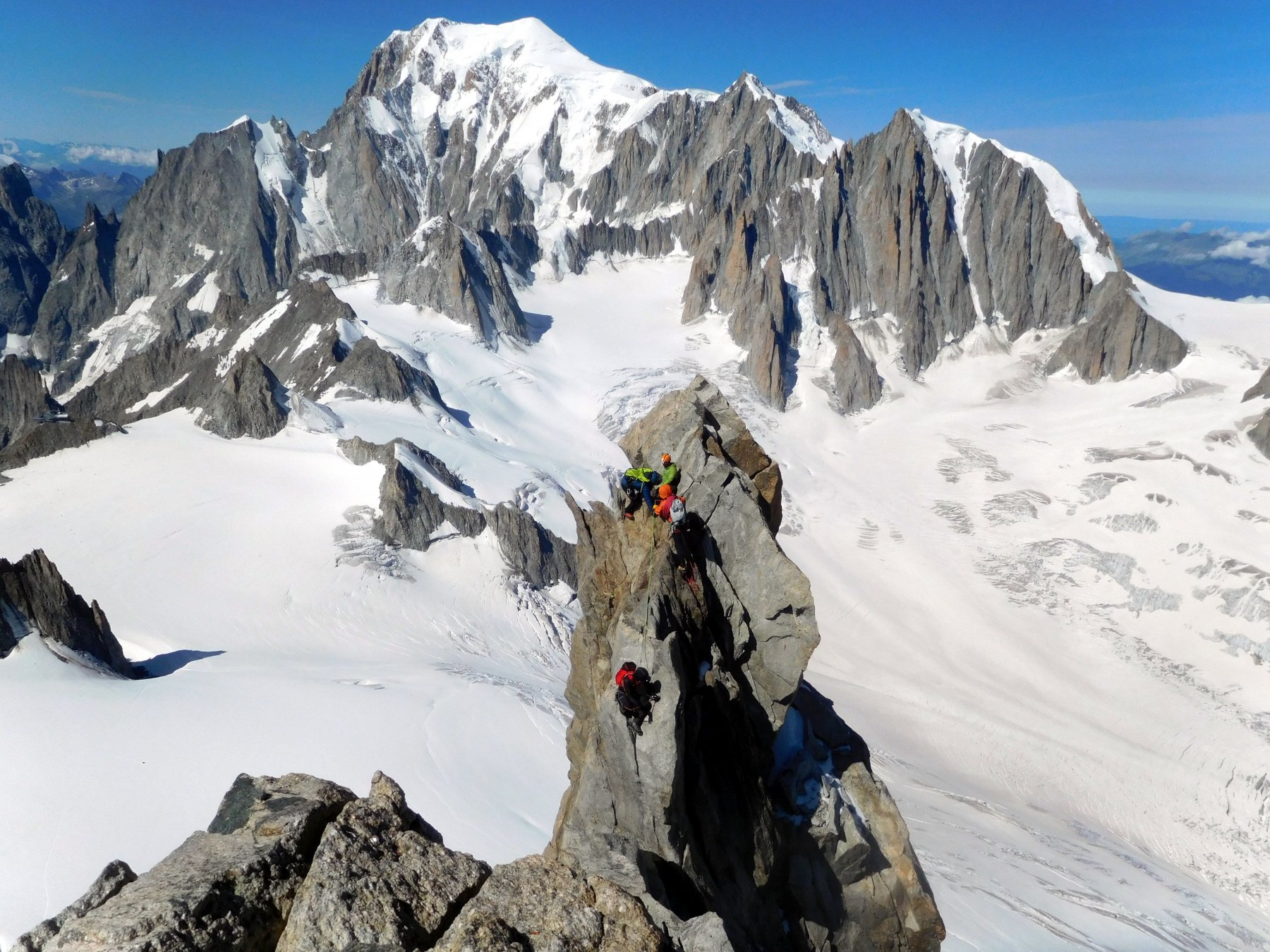
Nelle vicinanze Mappa
Itinerari
02/06/2023 AO, Courmayeur D+ 250 m PD+ Varie
Vierge (la) da Punta Helbronner
 0m
0m
14/07/2024 AO, Courmayeur D+ 850 m F Varie
Lachenal (Pointe) Via Normale da Punta Helbronner
 0m
0m
23/06/2026 AO, Courmayeur D+ 638 m AD Sud-Ovest
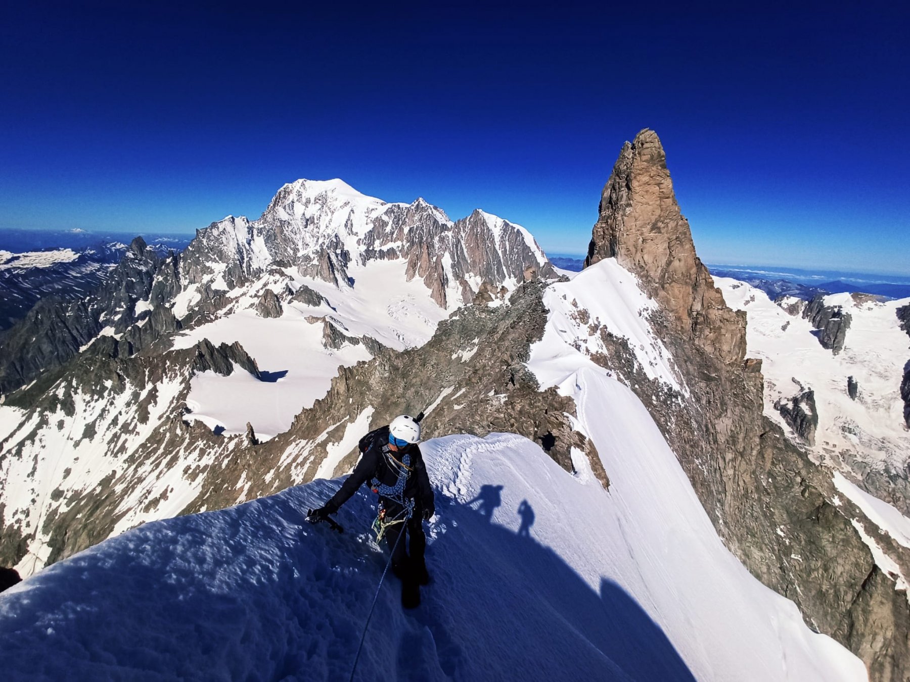
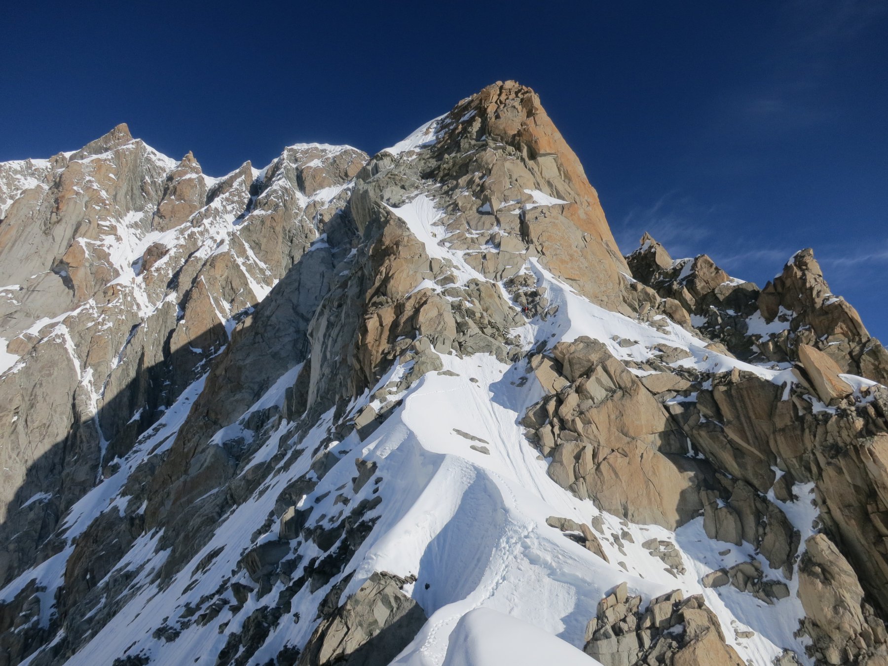
Dente del Gigante Via Normale
 0m
0m
11/07/2016 AO, Courmayeur D+ 900 m PD+ Sud-Ovest
Tour Ronde Cresta SO dal Col du Trident
 50m
50m
17/07/2024 AO, Courmayeur D+ 800 m F Varie
Vallèe Blanche traversata Punta Helbronner-Aiguille du Midi
 50m
50m
12/07/2026 AO, Courmayeur D+ 322 m PD+ Nord-Est
Marbrées (Aiguilles, Punta Nord) Cresta NE
 50m
50m
11/06/2026 AO, Courmayeur D+ 350 m AD Varie
Entreves (Aiguille d’) Cresta SO
 50m
50m
05/07/2020 AO, Courmayeur D+ 1600 m D Est
Bianco (Monte) – Sentinella Rossa
 50m
50m
11/07/2025 AO, Courmayeur D+ 900 m AD Varie
Rochefort (Aiguille e Dome de) Cresta di Rochefort
 50m
50m
18/06/2026 AO, Courmayeur D+ 1300 m D Sud-Est
Maudit (Mont) Cresta Kuffner
 50m
50m