3.7Km
3.7Km

Note
 950m
2.3Km
2.3Km
4.2Km
4.2Km
4.8Km
5.3Km
5.3Km
5.3Km
7.7Km
950m
2.3Km
2.3Km
4.2Km
4.2Km
4.8Km
5.3Km
5.3Km
5.3Km
7.7Km
3.7Km
3.7Km
4.7Km
5.1Km
5.5Km
7.6Km
7.7Km
7.7Km
7.8Km
7.8Km
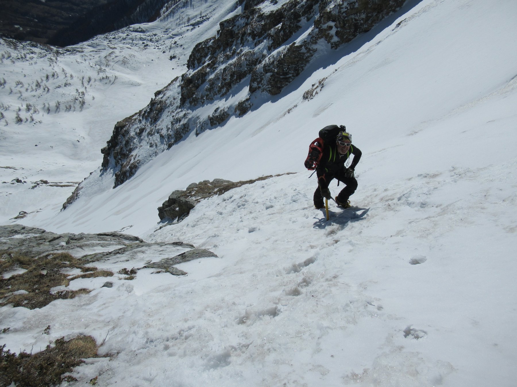
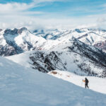
Percorso molto assolato, adatto alle giornate invernali più fredde. Percorso piuttosto facile, non richiede piccozza e ramponi se in buone condizioni.
Avvicinamento
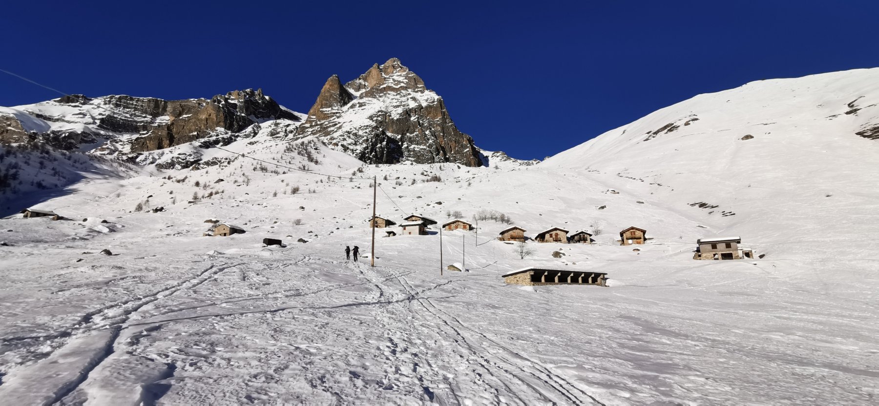
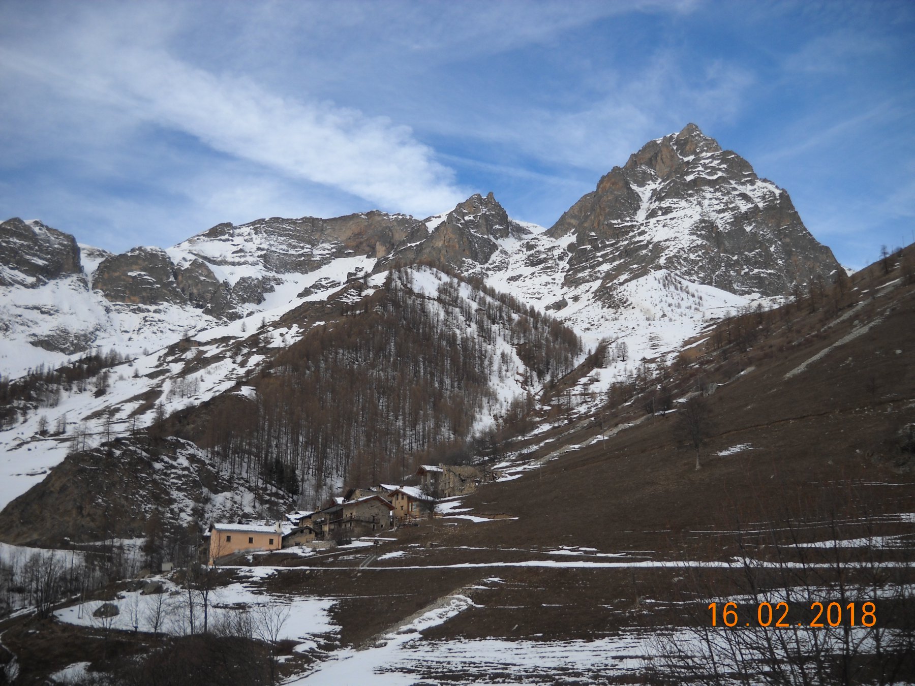
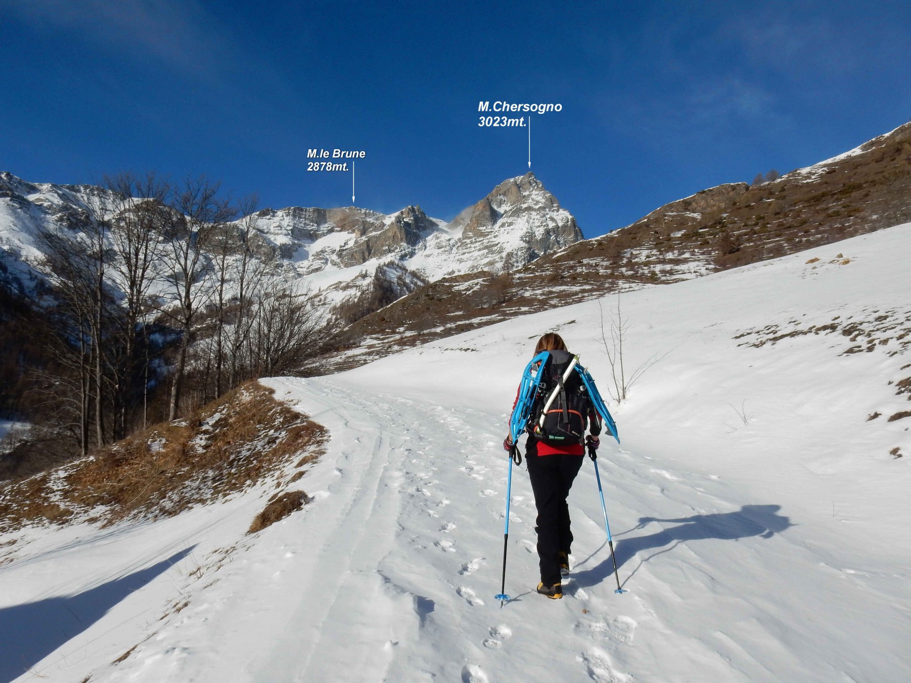
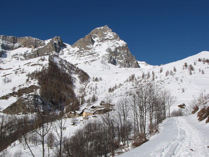
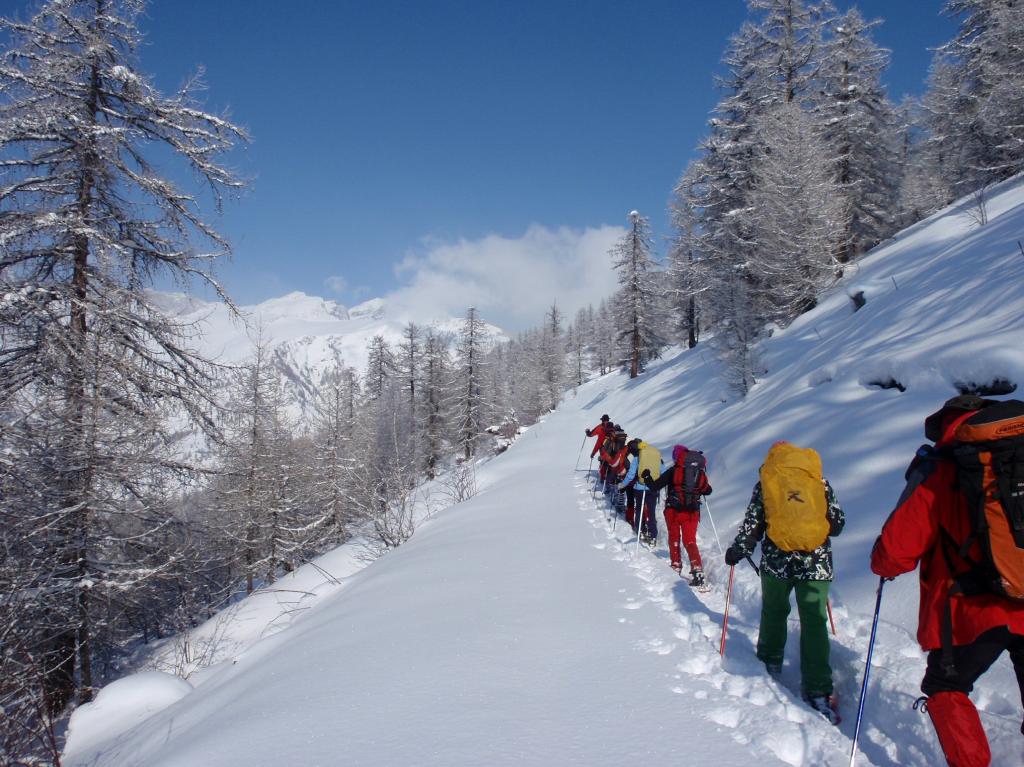
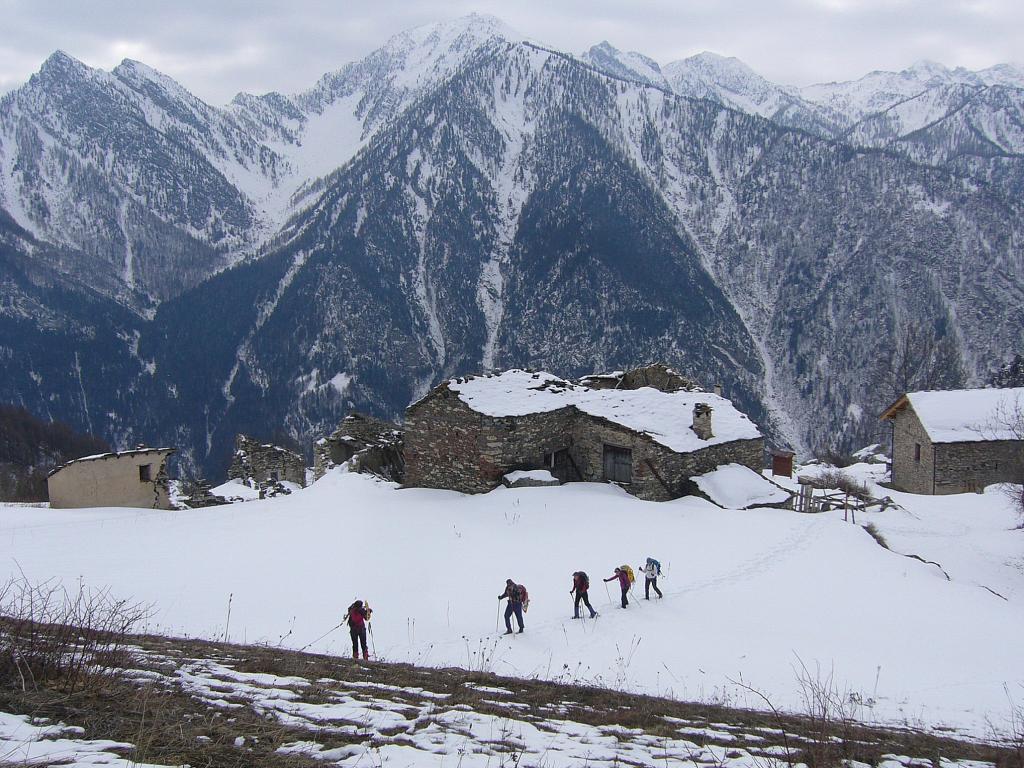
Da Dronero, si imbocca la lunga e tortuosa Val Maira, sino a raggiungere Prazzo Inferore, dove oltre il paese sulla destra si stacca la strada per San Michele e tutte le altre frazioni. Percorrendo sempre la strada principale, si giunge in località Pellegrino dove generalmente la strada viene tenuta pulita. Posteggi nella curva a monte delle case, 4-5 posti auto, oppure lungo la strada più sotto. In assenza di neve è possibile giungere a Campiglione 1714 m.
Descrizione
Dalla borgata Pellegrino si prosegue lungo la stradina diretta verso ovest alla frazione Campiglione 1717 m; dove si ha subito una scelta:
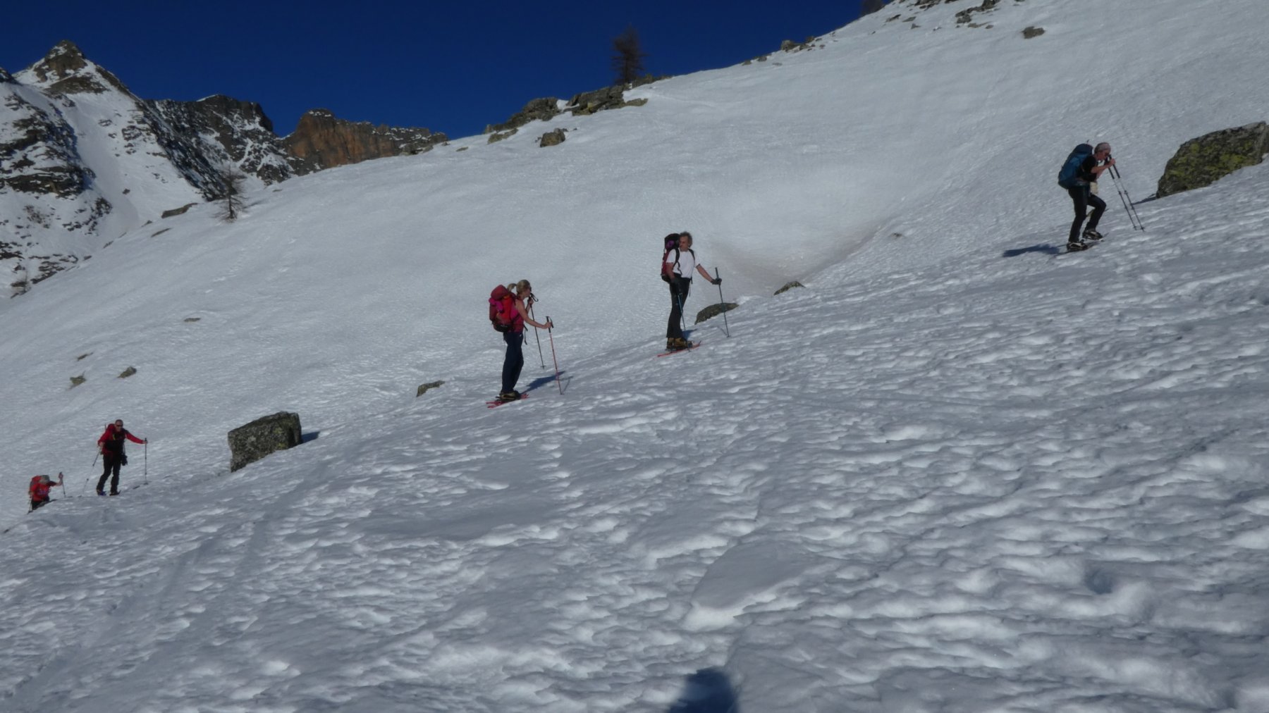
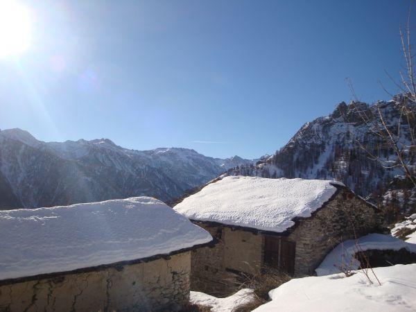
1. Salita diretta a Grange Chiotti: salendo per i prati moderatamente ripidi a monte delle case, seguendo grossomodo i pali della linea elettrica, si supera il dosso con una fascia boscosa che precede la bella conca con le Grange Ghiotti 1994 m.
2. Salita lungo la strada, più lunga: anzichè arrivare a Campiglione, si prosegue a destra lungo la strada che sale con alcuni tornanti (possibilità di scorciatoie) il pendio prativo; a quota 1617 m, si incontra un bivio, si continua a sinistra con lungo semicerchio, fino a raggiungere le Grange Chiotti 1994 m.
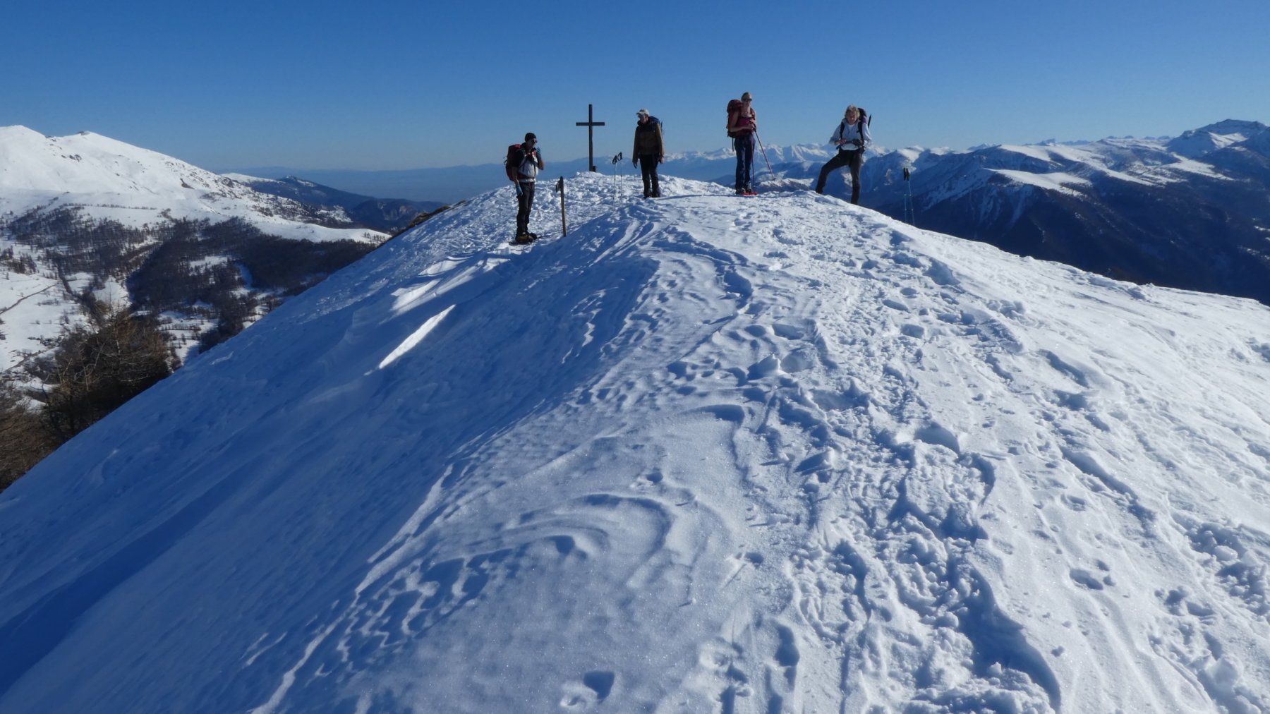
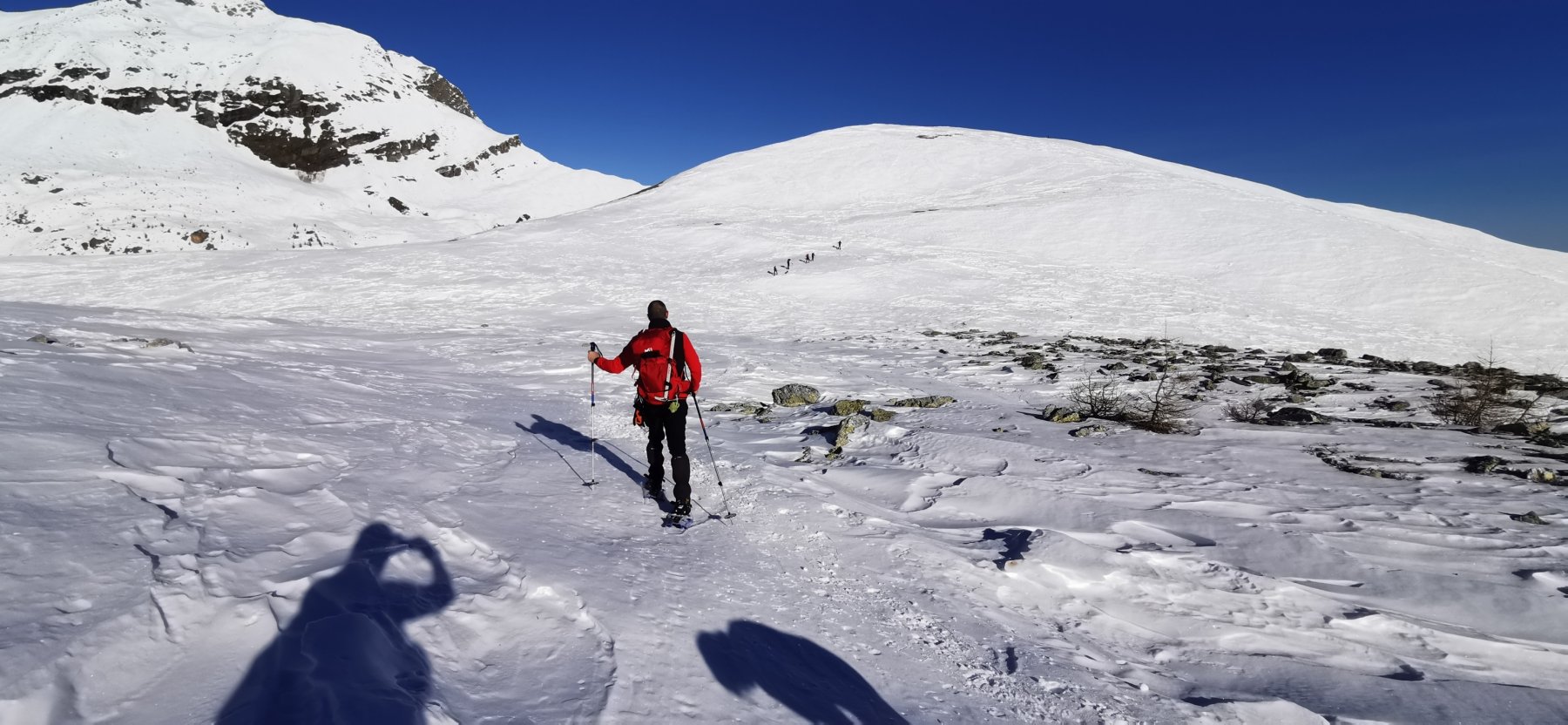
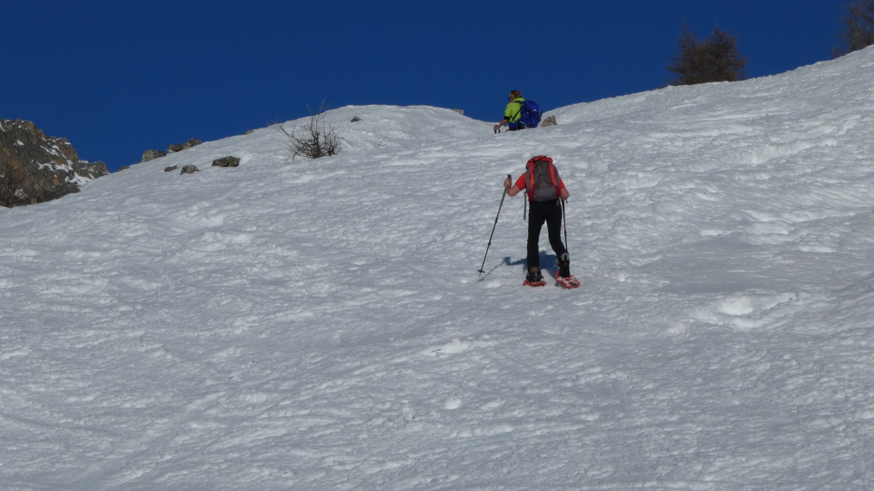
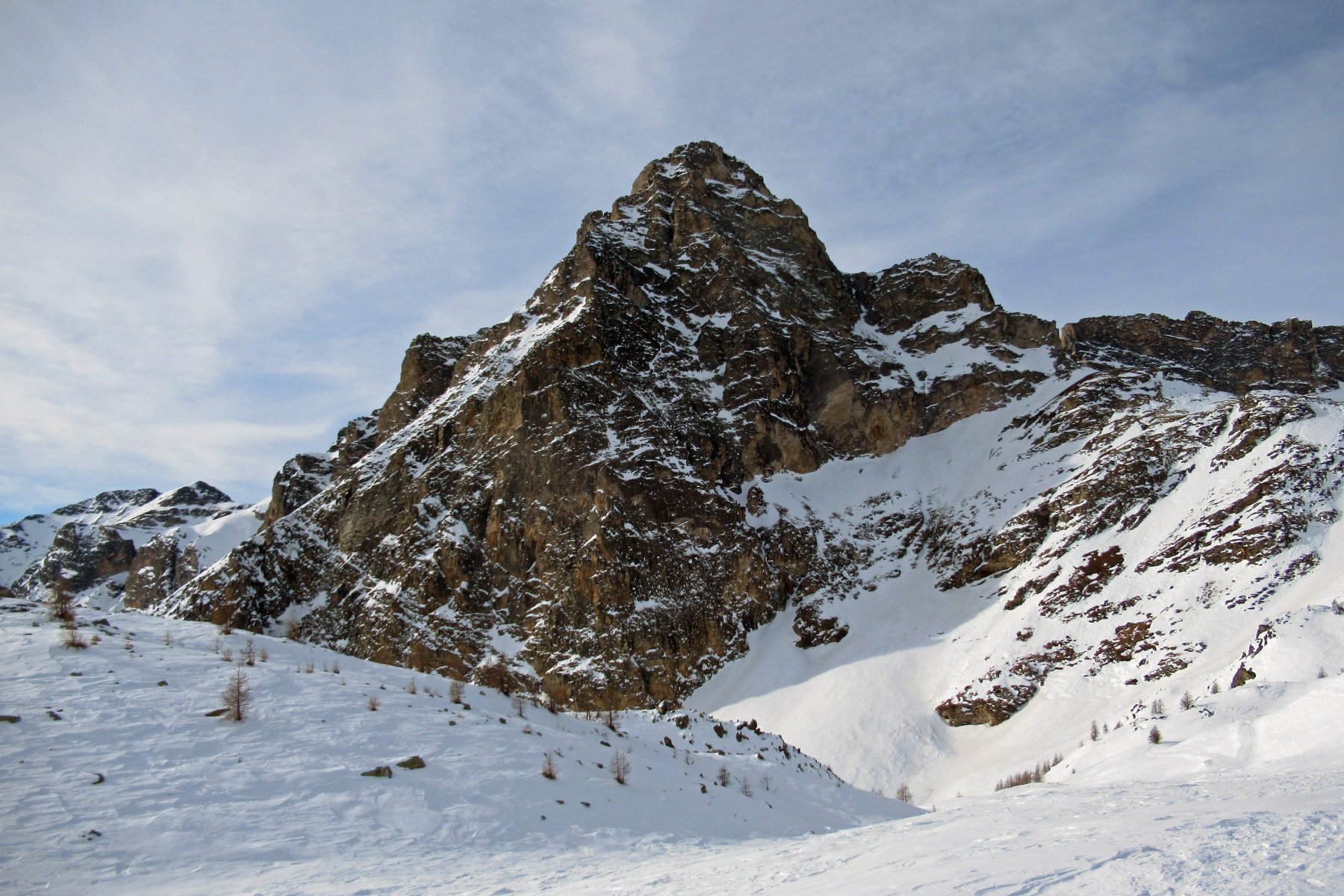
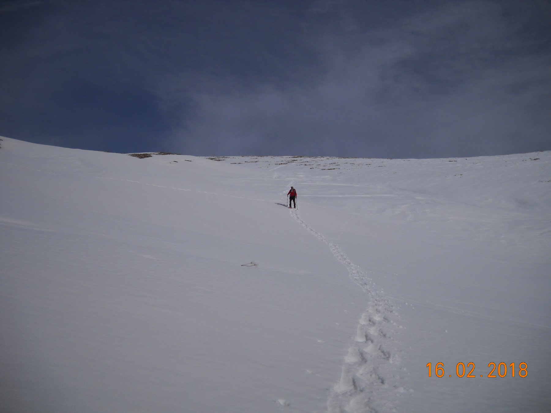
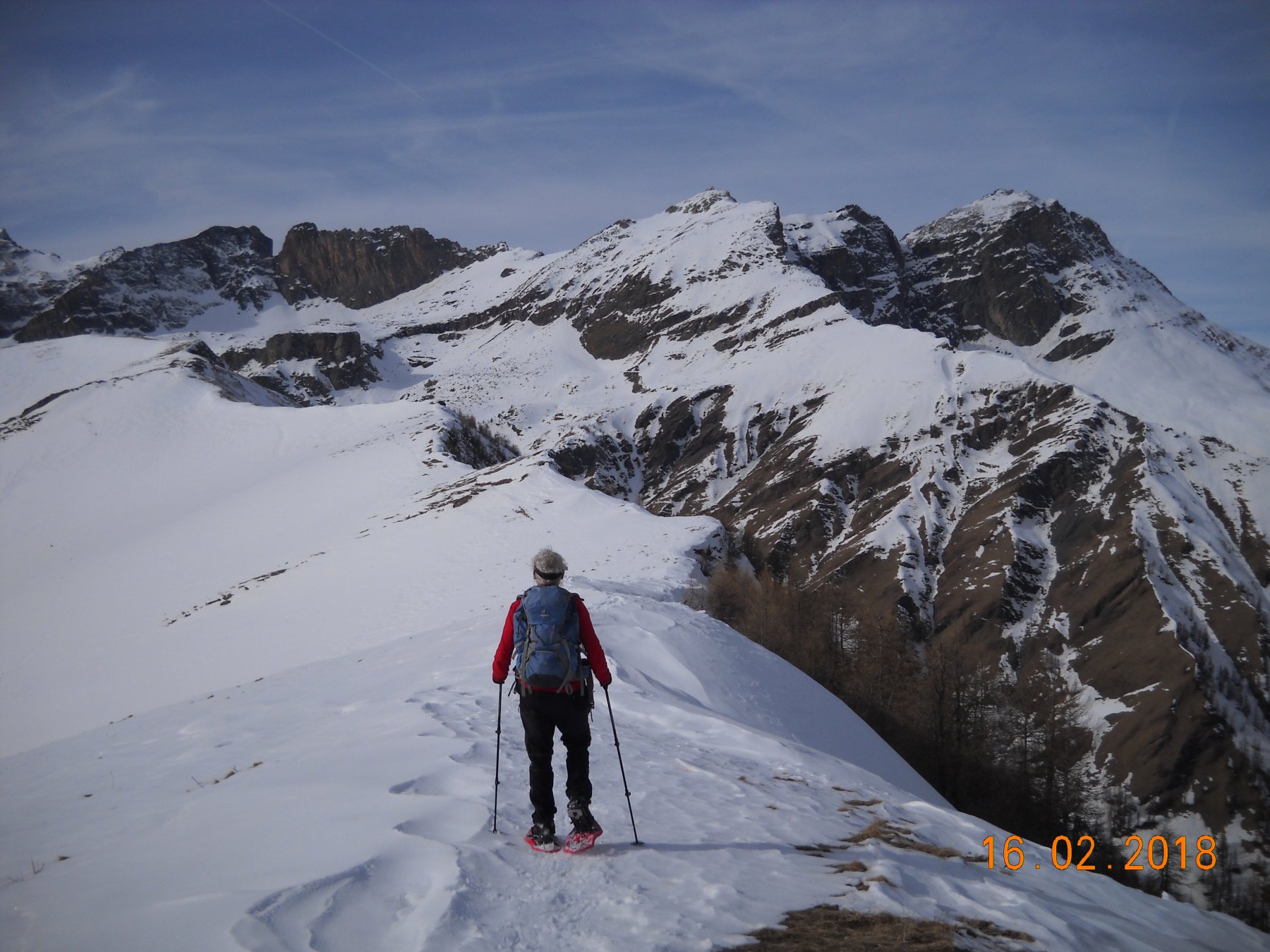
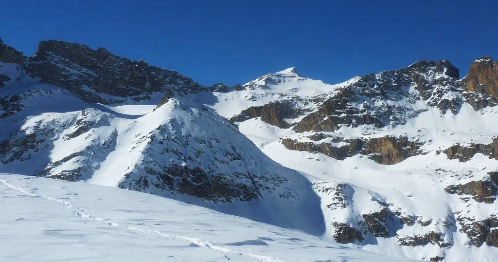
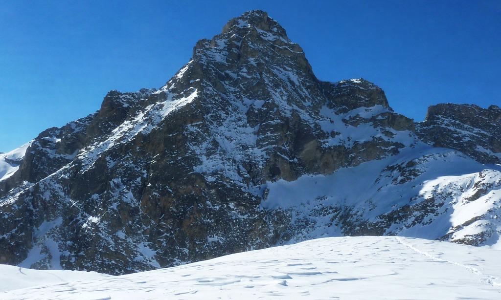
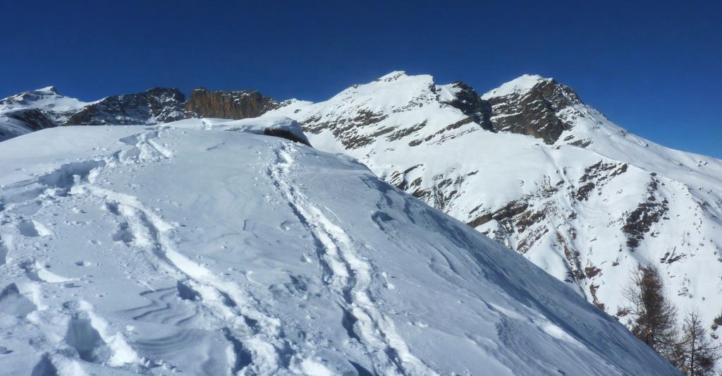
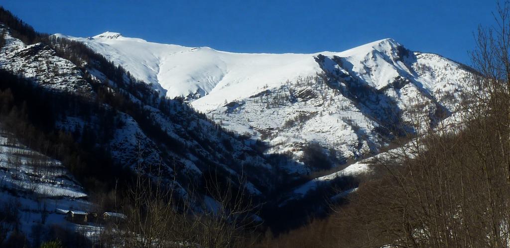
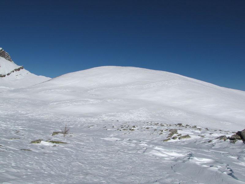
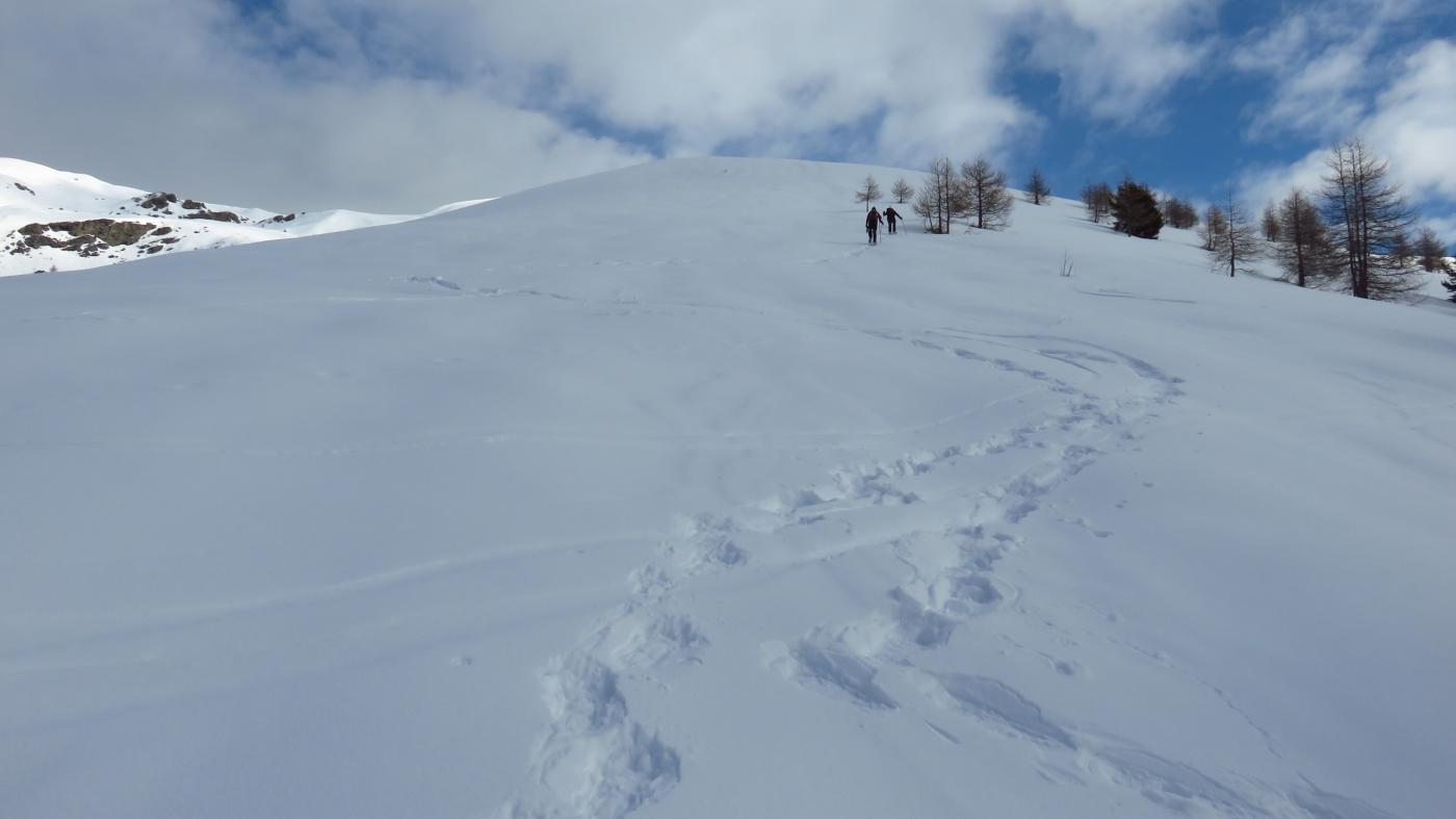
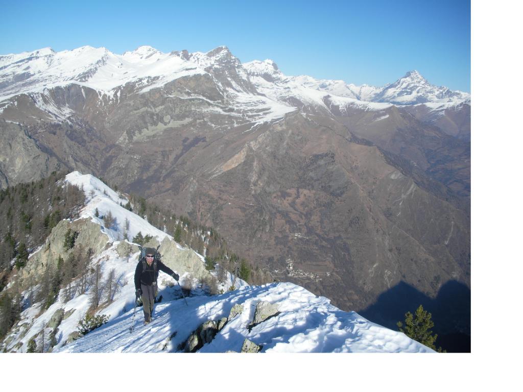
Dalle grange anche qui si hanno due opzioni, quella classica è la salita nell’avvallamento sotto il Monte Chersogno, direzione Colle di Chiosso (si tocca un’ultima baita a 2121 m, dove si nota la strada di recente costruzione che prosegue. Via via salendo ci si sposta verso destra, senza raggiungere il colle, salendo per ampi pendii di pietrame affiorante, sino a giungere sulla dorsale a ovest della cima; da qui in pochi minuti senza problemi si giunge alla piatta cima 2459 m (piccolo ometto di pietre). La salita alternativa, o eventuale discesa diretta (senza raggiungere il Monte Ciarmetta) è di spostarsi verso destra rispetto alle grange, per poi salire il pendio sud (attenzione in caso di forte innevamento) mantenendosi sul margine sinistro rispetto al solco del vallone; salendo su bei pendii, senza raggiungere la baita che si vede in alto, si piega leggermente verso sinistra fino a giungere in cima.
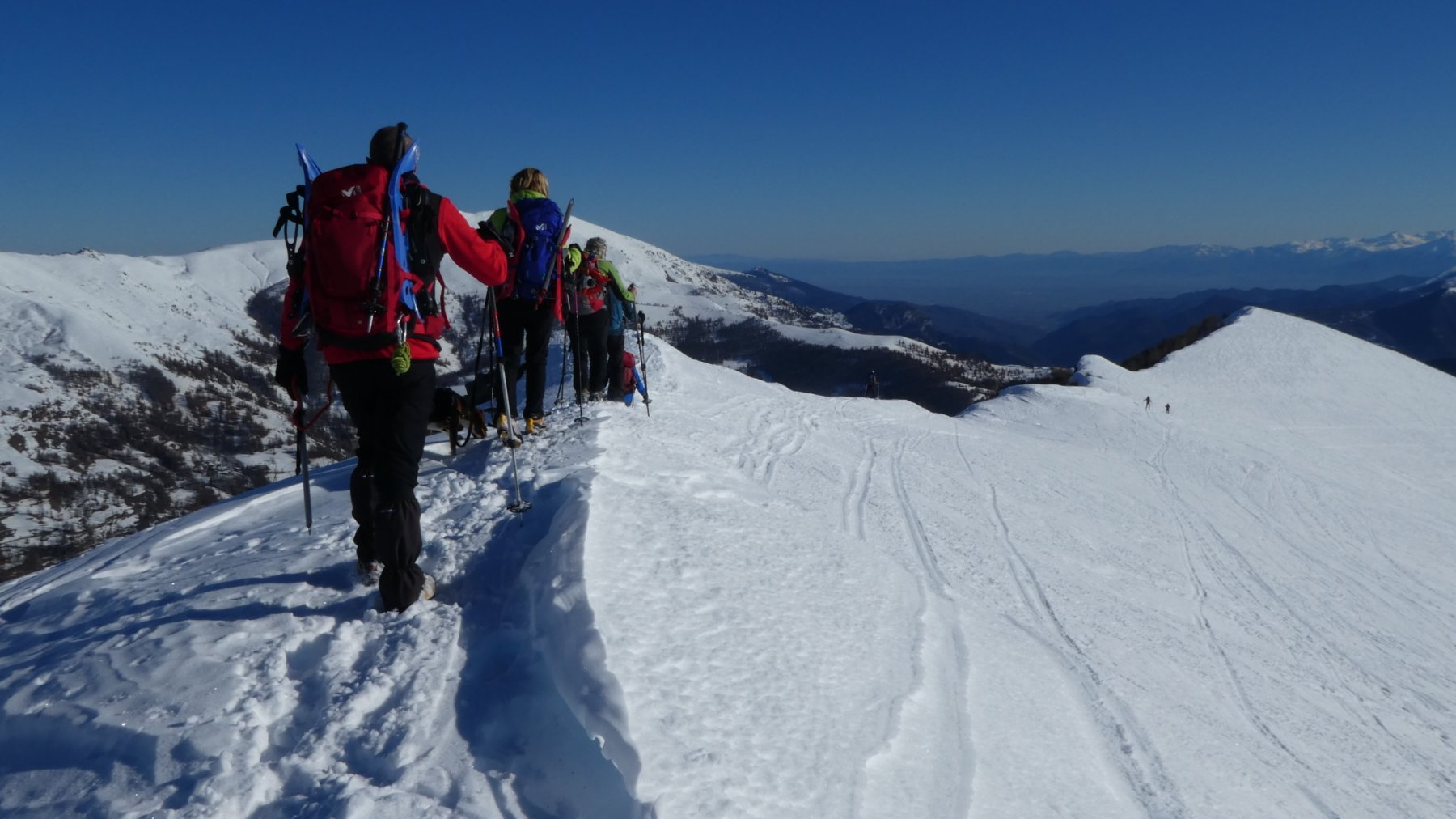
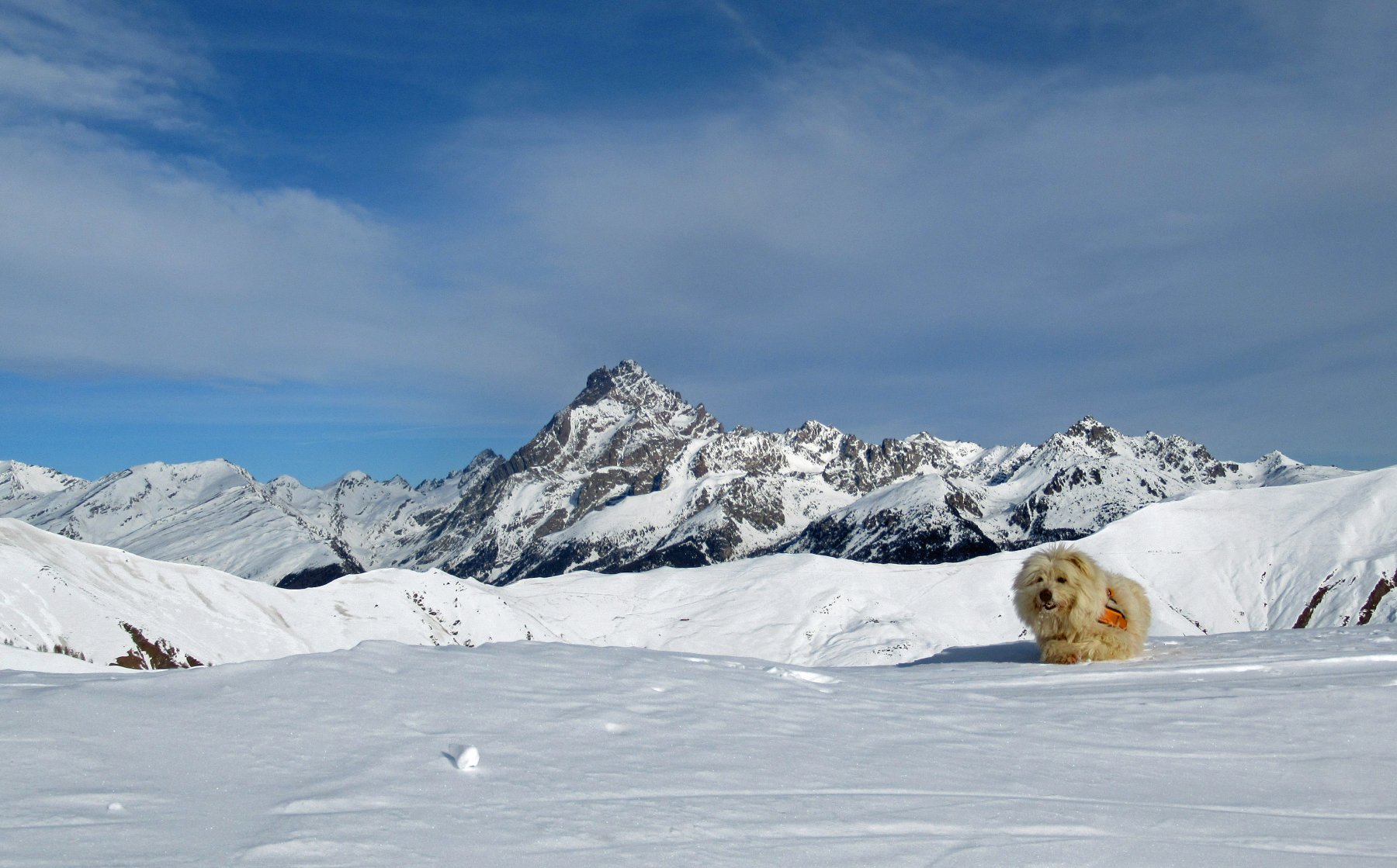
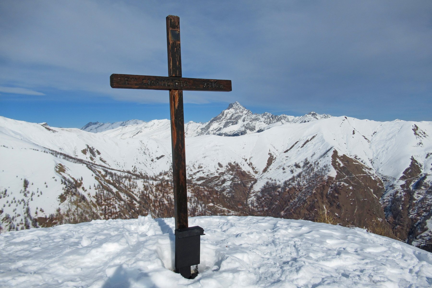
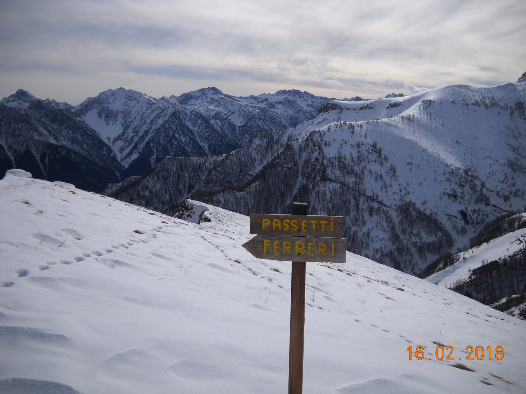
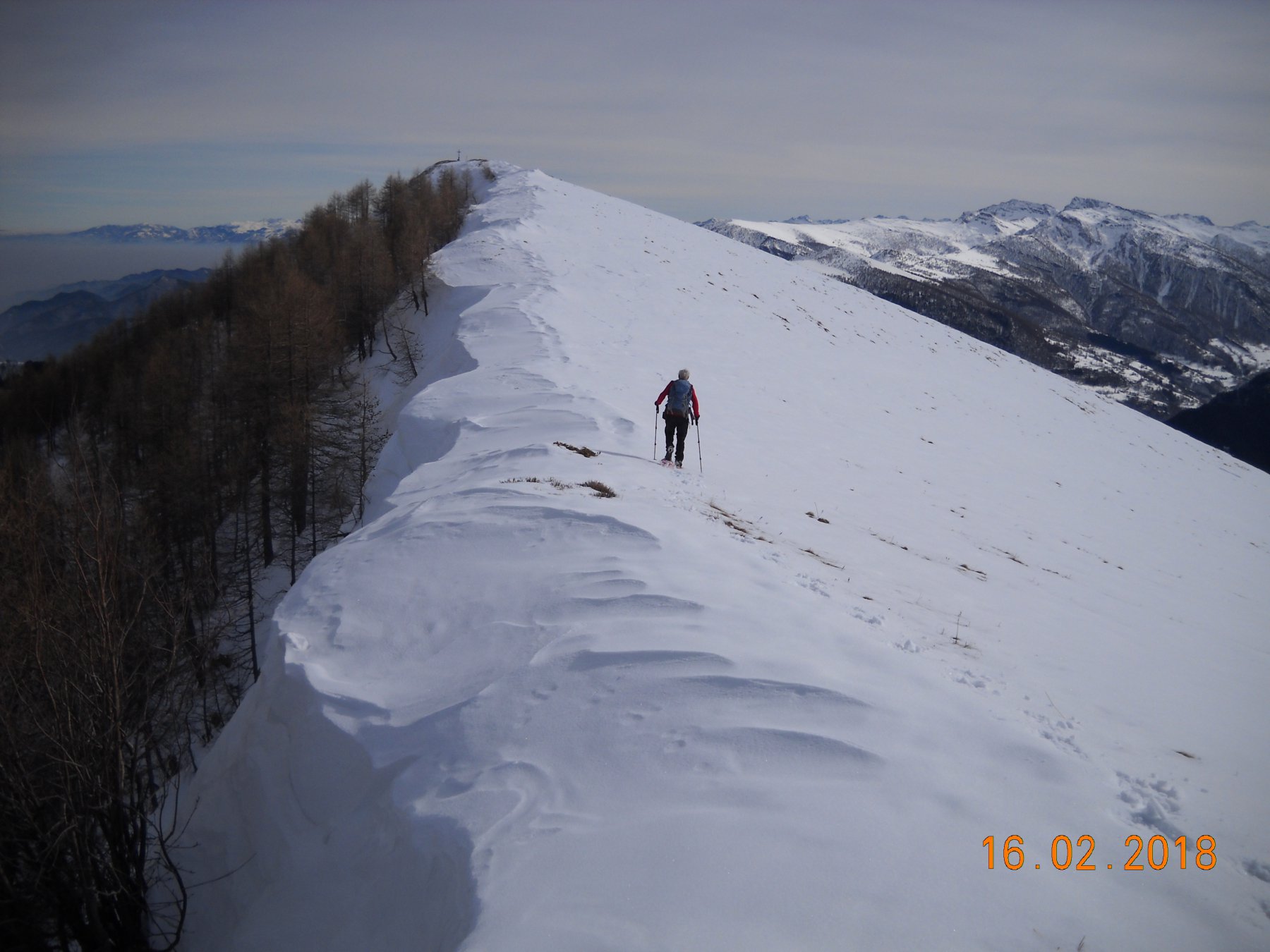
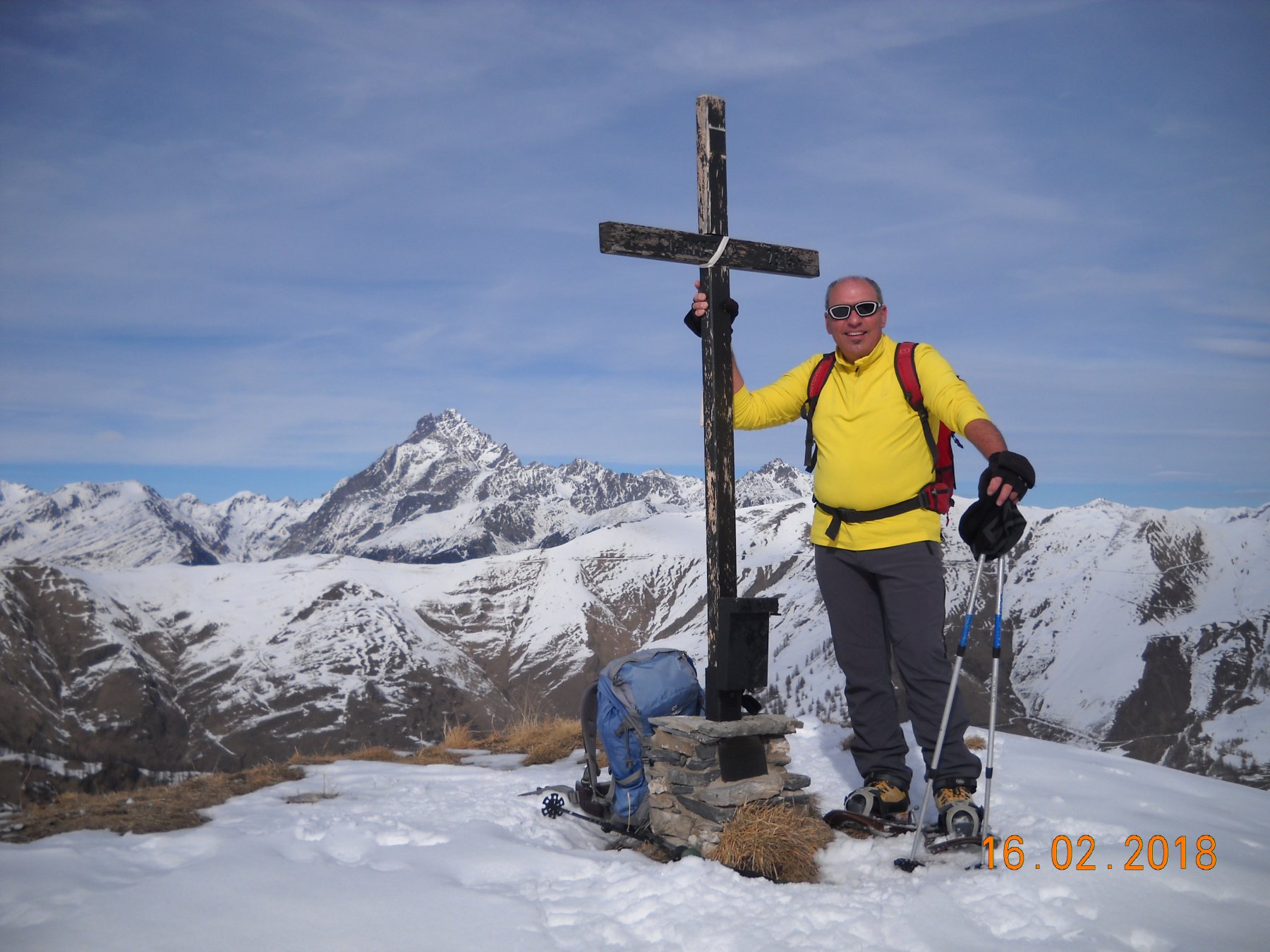
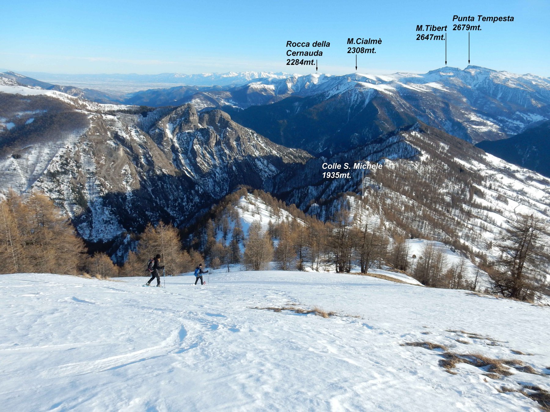
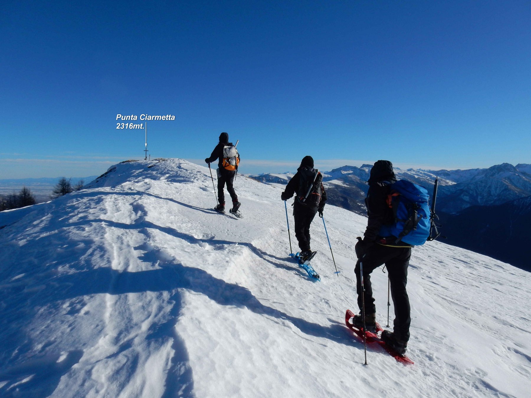
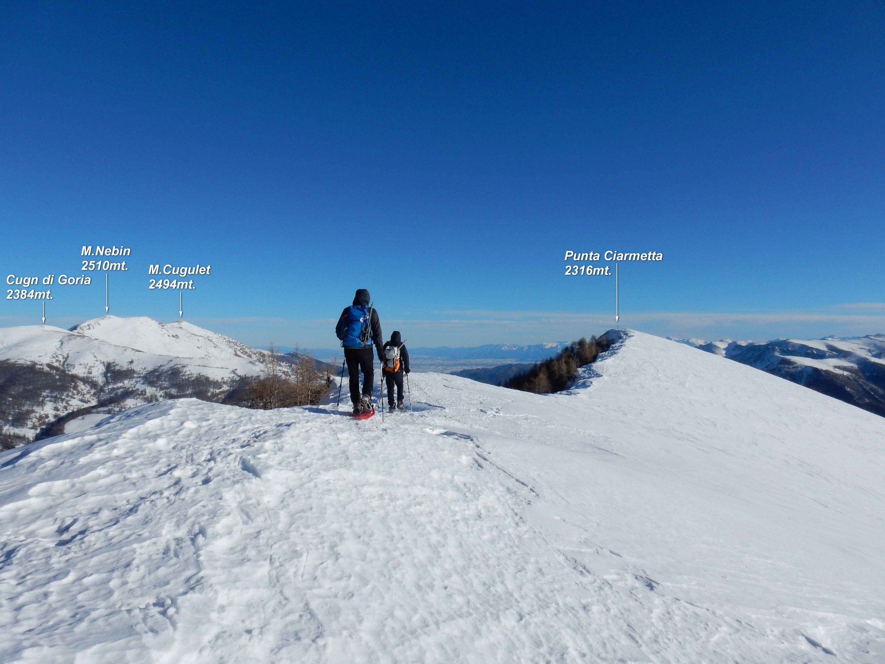
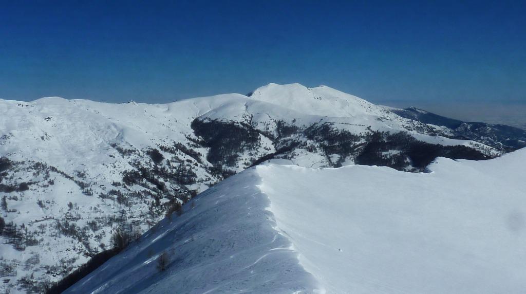
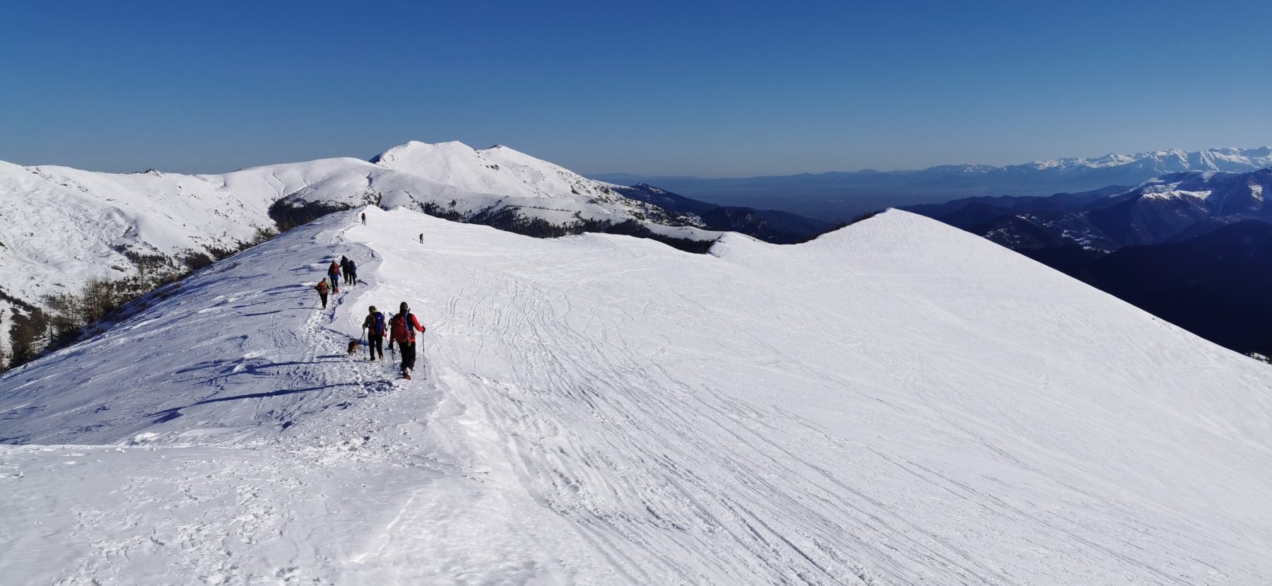
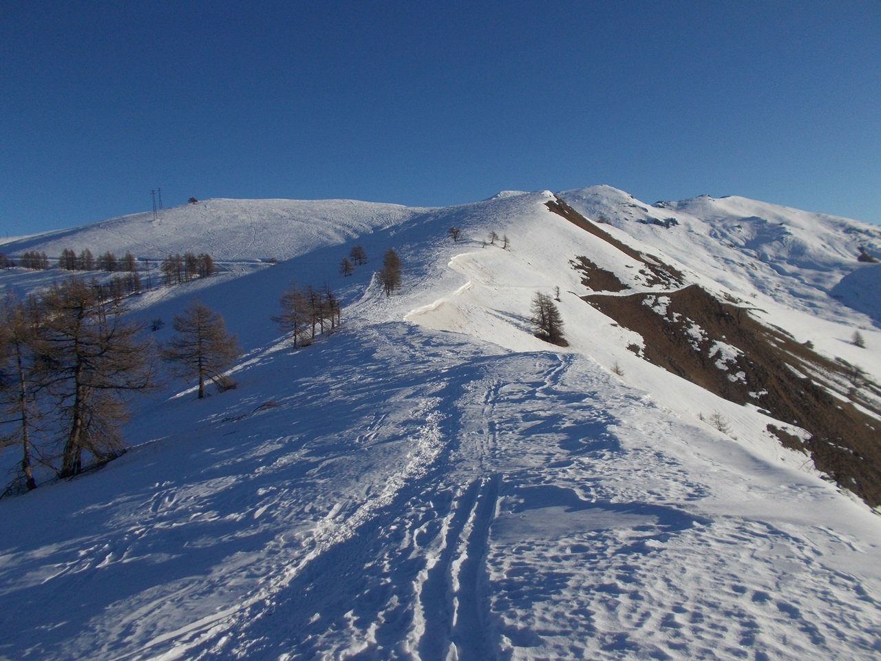
Dalla cima è però consigliabile compiere l’anello passando al Monte Ciarmetta, che si raggiunge seguendo la facile dorsale est, in leggera discesa prima e poi pressochè in piano, sino alla croce della seconda cima di giornata, 2312 m. Da questa si scende lungo il dorsalone sud, raggiungendo rapidamente il Colle Passetti 2089 m: qui, se in buone condizioni, si può scendere a sinistra seguendo il sentiero estivo puntando al Colle San Michele 1932 m, dal quale si scende alla borgata de Costanzi 1713 m, poi Ferreri 1681 m, Cesani 1593 m sempre su strada per poi seguire il sentiero del percorso occitano che porta alla borgata Castiglione 1744 m, poco sotto a Pellegrino (breve risalita su strada).
Altrimenti dal colle Passetti si continua sulla dorsale, Costa Gerarda, che nel tratto conclusivo si presenta un po’ più ripida; poi per ampi prati si ritrova la stradina, raggiungendo un bivio: a destra si scende verso Campiglione e per il percorso di salita, a sinistra invece si entra nel vallone parallelo, raggiungendo anche qui la borgata De Costanzi, e da qui a Castiglione come sopra. Se si ha in mente questa opzione di ritorno, conviene partire direttamente da Castiglione per evitare la risalita, seppur breve.
Raggiunta in auto o per neve Campiglione si sale diretti verso le sovrastanti Gr. Chiotti seguendo la linea dei tralicci ENEL (sconsigliato seguire la pista perchè lunghissima).
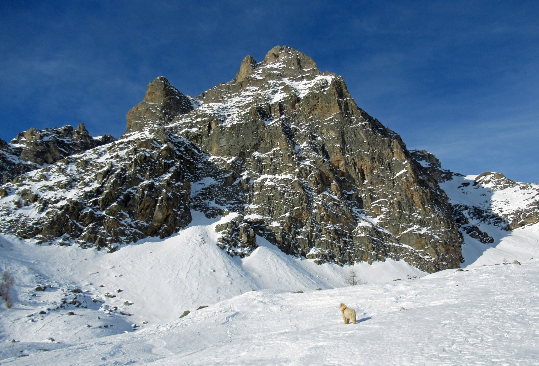
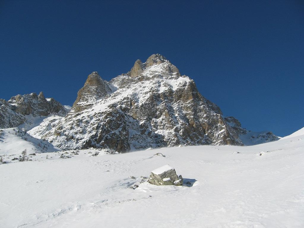
Da Chiotti si prosegue verso NO costeggiando la parete NE del Chersogno in direzione del Colle di Chiosso. Giunti sotto il colle si piega a dx e sotto cresta, seguendo un dosso inclinato, si raggiunge l’arrotondata cima.
Per la discesa, volendo compiere un anello, si prosegue per facile dorsale in direzione est, passando a monte di una baita fino alla Punta Ciarmetta.
Da qui, si scende per la Costa Passetti, seguendo costantemente tutta la cresta che porta poi facilmente verso la strada Campiglione/Pellegrino e quindi al punto di partenza.
- Cartografia:
- Fraternali Editore 1:25000 n.11 Alta Val Varaita, Alta Val Maira
- Bibliografia:
- J. Charles Campana. Blu. Dal colle della Maddalena al Moniviso. N°39
Nelle vicinanze Mappa
Itinerari
14/02/2020 CN, Prazzo D+ 1312 m BRA, F Tutte
Chersogno (Monte) da Campiglione per il Colle di Chiosso
 950m
950m
31/12/2017 CN, Prazzo D+ 954 m MR Sud-Est
Ciarmetta (Punta) da San Michele di Prazzo
 2.3Km
2.3Km
12/02/2012 CN, Prazzo D+ 460 m MR Sud-Ovest
Conciuffre (Colle) da San Michele di Prazzo
 2.3Km
2.3Km
16/01/2020 CN, Prazzo D+ 978 m MR Sud
Chirlè (Monte) da Ussolo
 4.2Km
4.2Km
11/03/2017 CN, Prazzo D+ 731 m MR Sud-Est
Culour (Punta) da Ussolo
 4.2Km
4.2Km
28/02/2015 CN, Elva D+ 756 m MR Sud-Ovest
Cialmassa (Monte) e Cima delle Serre da Elva per la Costa Serre
 4.8Km
4.8Km
18/12/2021 CN, Elva D+ 620 m MR Sud-Ovest
Cugn di Goria da Goria per il Colle della Cavallina
 5.3Km
5.3Km
04/02/2023 CN, Elva D+ 683 m MR Sud-Ovest
Nebin (Monte) da Goria Superiore
 5.3Km
5.3Km
17/02/2018 CN, Elva D+ 400 m T Sud
Frace (Roccia) dal Colle della Cavallina
 5.3Km
5.3Km
14/01/2012 CN, Acceglio D+ 1400 m BRA, F+ Varie
Cairi (Rocca di) da Frere, traversata per Vallone Chiaramasco, cresta N/NO, Cumbal Cialmè
 7.7Km
7.7Km
Servizi
3.7Km
3.7Km
Antica Osteria Albergo
Prazzo
4.7Km
San Pancrazio – Hans Clemer Albergo
Elva
5.1Km
Gentil Locanda Ristorante
Marmora
5.5Km
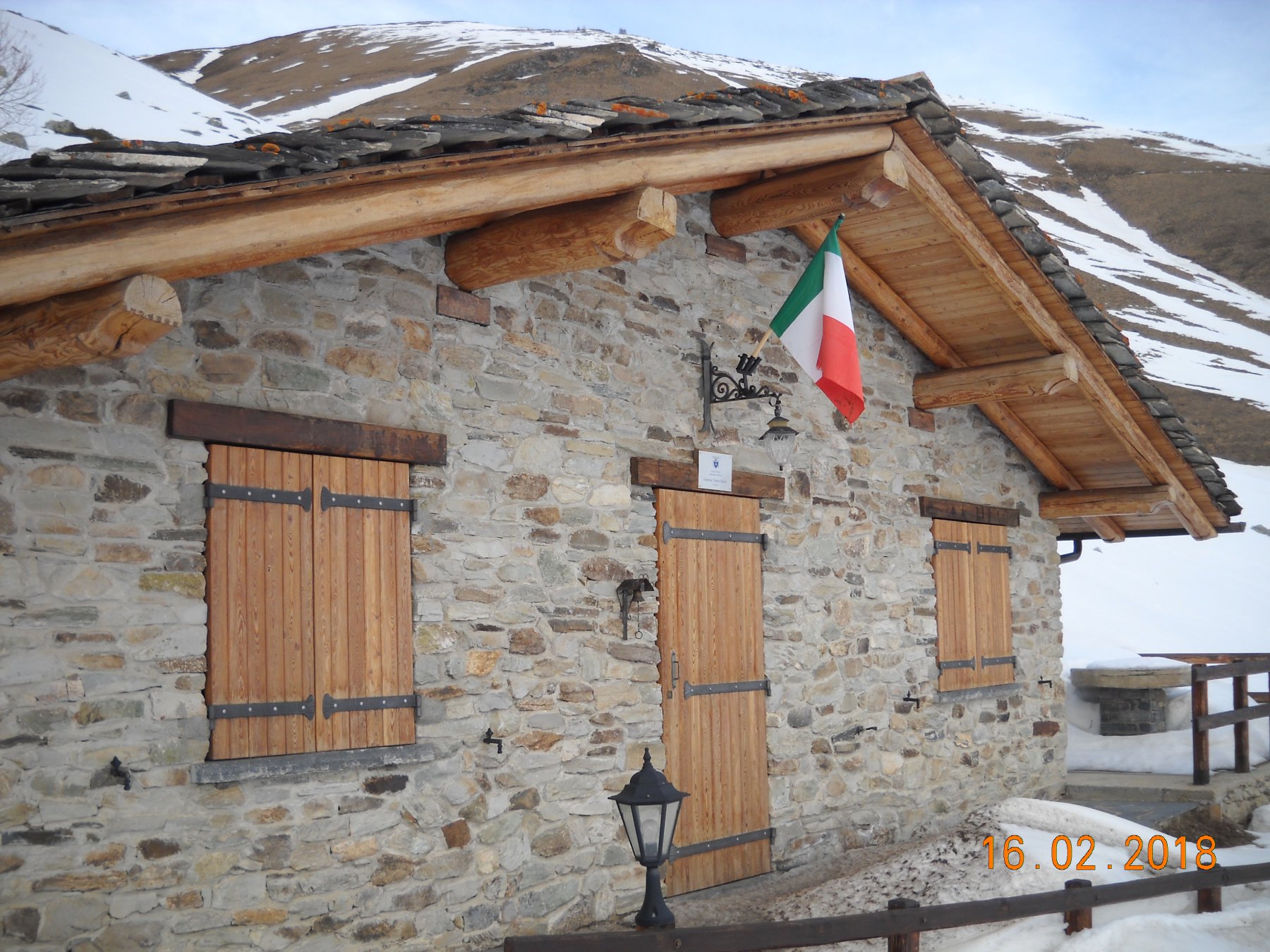
La sousto du col Rifugio
Elva
7.6Km
Lou Pitavin Ristorante
Marmora
7.7Km
Croce bianca Ristorante
Marmora
7.7Km
Le Marmotte Ristorante
Acceglio
7.8Km
Ceaglio Rifugio
Marmora
7.8Km