2.4Km
2.4Km


Note
 0m
2.3Km
3.1Km
3.7Km
3.7Km
4.9Km
5.3Km
5.4Km
5.4Km
6.3Km
0m
2.3Km
3.1Km
3.7Km
3.7Km
4.9Km
5.3Km
5.4Km
5.4Km
6.3Km
2.4Km
2.4Km
3.1Km
5.1Km
5.2Km
5.4Km
5.4Km
5.5Km
5.5Km
6.1Km
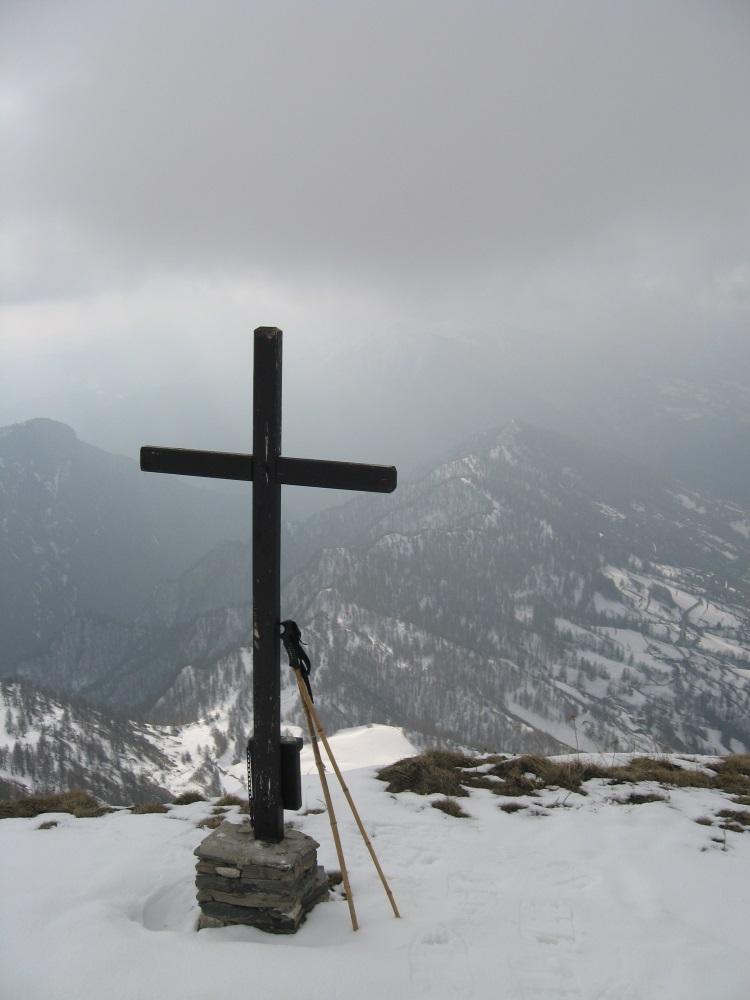
La gita si svolge su strada nella prima parte, per poi risalire la dorsale fino all'arrivo sulla cima: da fare con neve sicura gli ultimi 100 mt in quanto abbastanza ripidi.
Avvicinamento
Arrivati a Prazzo si svolta a destra e con molti tornanti si entra nel vallone fino all'abitato di San Michele ( circa 5 km).
Descrizione
Dall’abitato di S.Michele si sale alla borgata Allemandi su sentiero oppure seguendo la strada asfaltata; da Allemandi parte un sentiero (che più in alto diventa sterrata) passando sotto il colle Conciuffre e arrivando al colle di San Michele ( 1935 mt).
Dal colle si segue completamente la dorsale per arrivare al più ripido tratto finale che porta alla croce posta sulla cima.
- Cartografia:
- IGC Valle Maira
Nelle vicinanze Mappa
Itinerari
12/02/2012 CN, Prazzo D+ 460 m MR Sud-Ovest
Conciuffre (Colle) da San Michele di Prazzo
 0m
0m
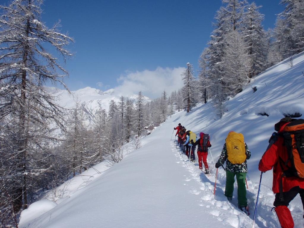
12/01/2020 CN, Prazzo D+ 900 m MR Sud-Est
Sarsassi (Punta) e Monte Ciarmetta da Pellegrino
 2.3Km
2.3Km
14/02/2020 CN, Prazzo D+ 1312 m BRA, F Tutte
Chersogno (Monte) da Campiglione per il Colle di Chiosso
 3.1Km
3.1Km
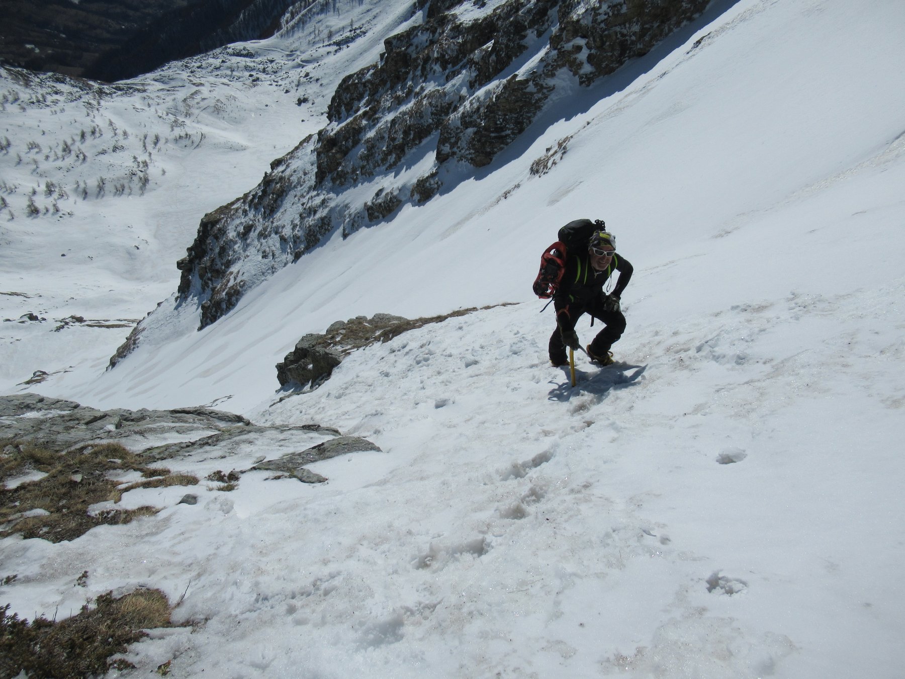
16/01/2020 CN, Prazzo D+ 978 m MR Sud
Chirlè (Monte) da Ussolo
 3.7Km
3.7Km
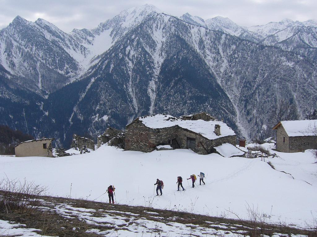
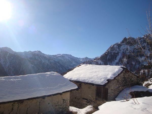
11/03/2017 CN, Prazzo D+ 731 m MR Sud-Est
Culour (Punta) da Ussolo
 3.7Km
3.7Km
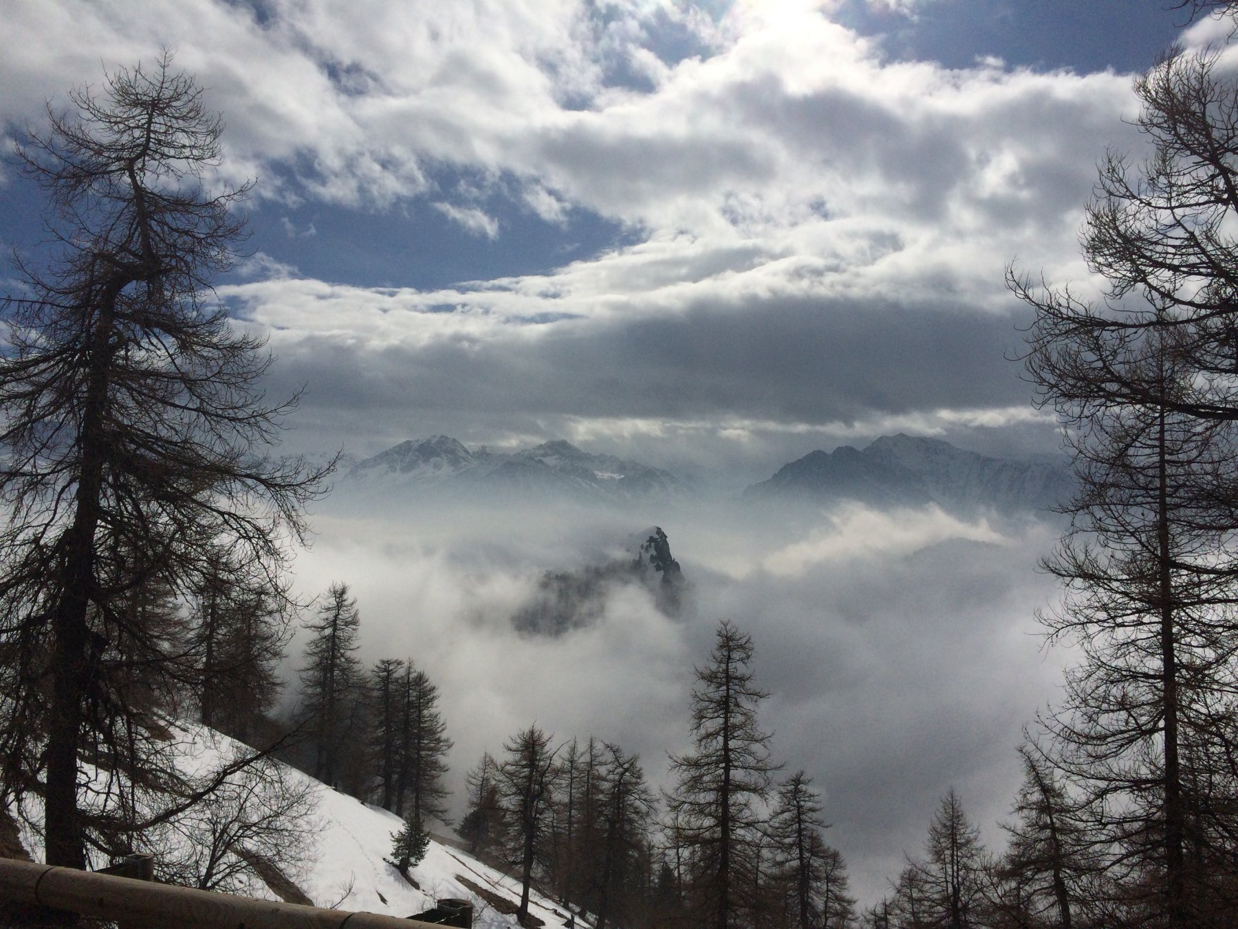
17/02/2018 CN, Elva D+ 400 m T Sud
Frace (Roccia) dal Colle della Cavallina
 4.9Km
4.9Km
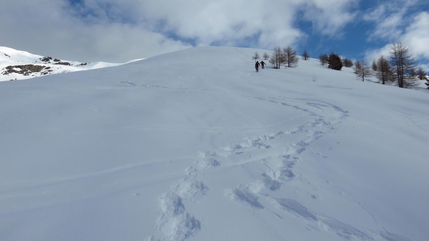
28/02/2015 CN, Elva D+ 756 m MR Sud-Ovest
Cialmassa (Monte) e Cima delle Serre da Elva per la Costa Serre
 5.3Km
5.3Km
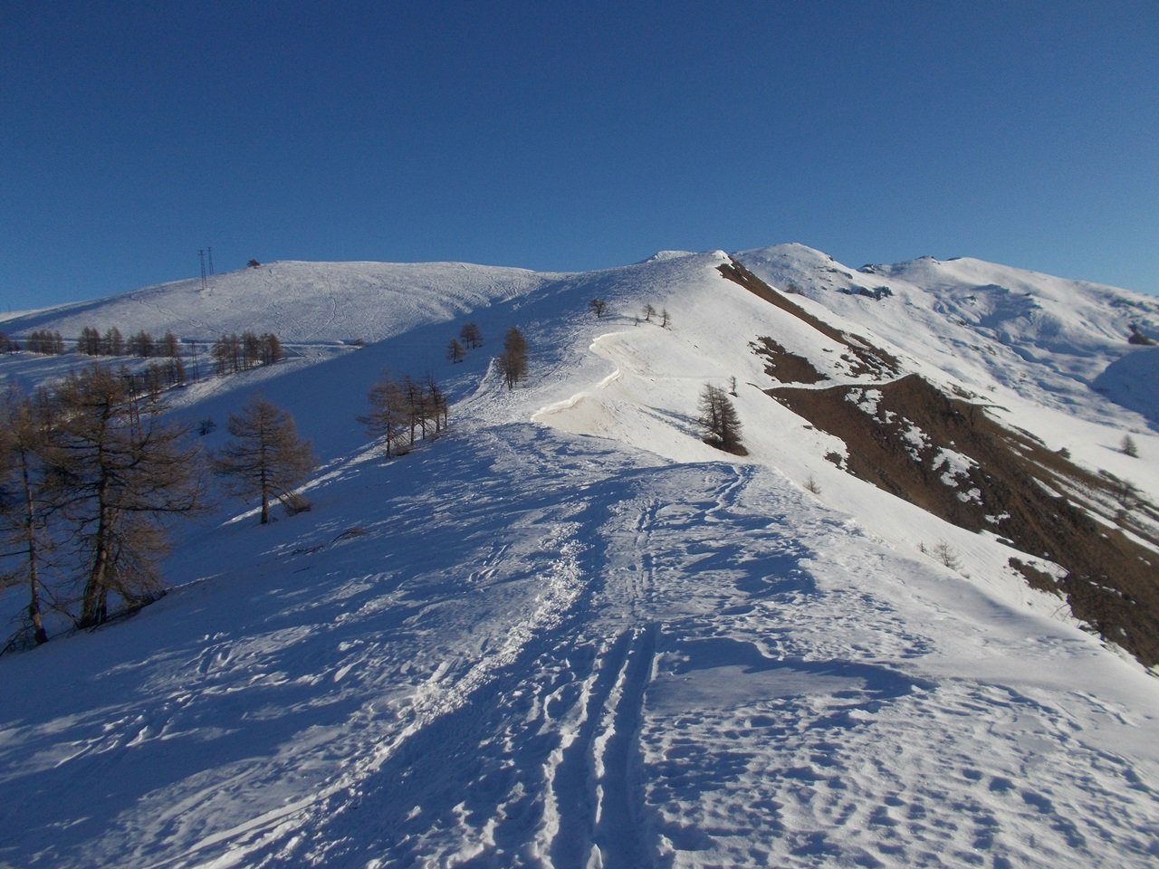
18/12/2021 CN, Elva D+ 620 m MR Sud-Ovest
Cugn di Goria da Goria per il Colle della Cavallina
 5.4Km
5.4Km
04/02/2023 CN, Elva D+ 683 m MR Sud-Ovest
Nebin (Monte) da Goria Superiore
 5.4Km
5.4Km
18/02/2026 CN, Marmora D+ 800 m MR Varie
Festa (Monte) e Costa Chiggia da Parrocchia di Marmora, anello per il Monte Buch
 6.3Km
6.3Km
Servizi
2.4Km
2.4Km
Furnel e pirol Ristorante
Prazzo Superiore
3.1Km
Gentil Locanda Ristorante
Marmora
5.1Km
La sousto du col Rifugio
Elva
5.2Km
San Pancrazio – Hans Clemer Albergo
Elva
5.4Km
Lou Pitavin Ristorante
Marmora
5.4Km
Croce bianca Ristorante
Marmora
5.5Km
Posto tappa gta Ceaglio Rifugio
Marmora
5.5Km
Ceaglio Rifugio
Marmora
6.1Km