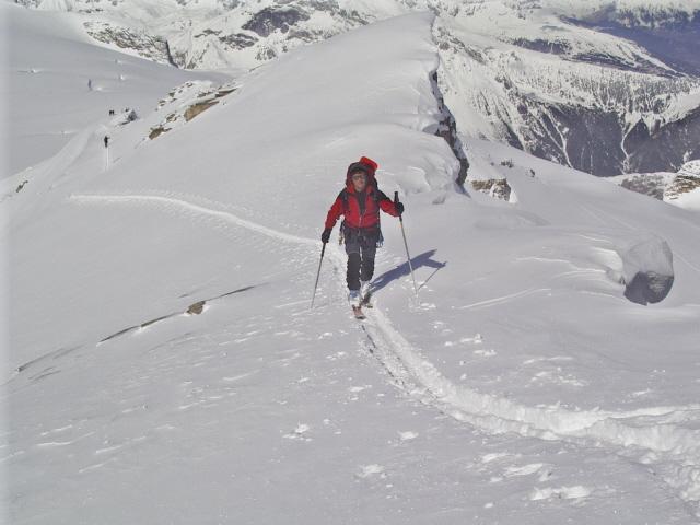
Da Pralognan salire al rifugio del Col de la Vanoise passando dalle Barmettes (possibile salire con gli impianti) oppure sulla destra salendo dal vallone del cirque de l’Arcelin.
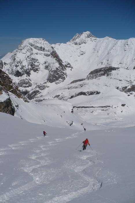
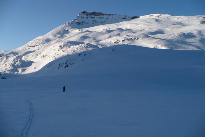
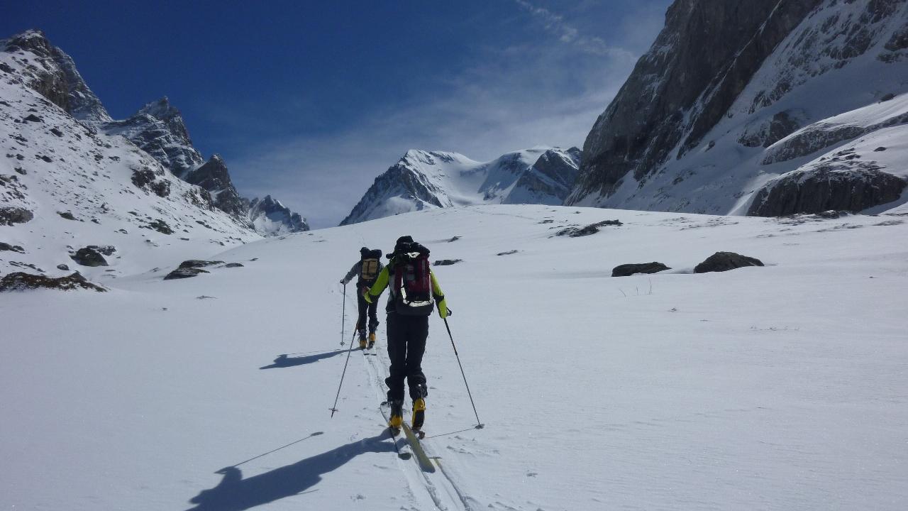
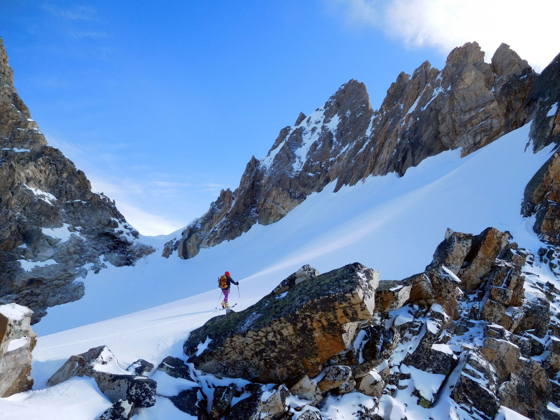
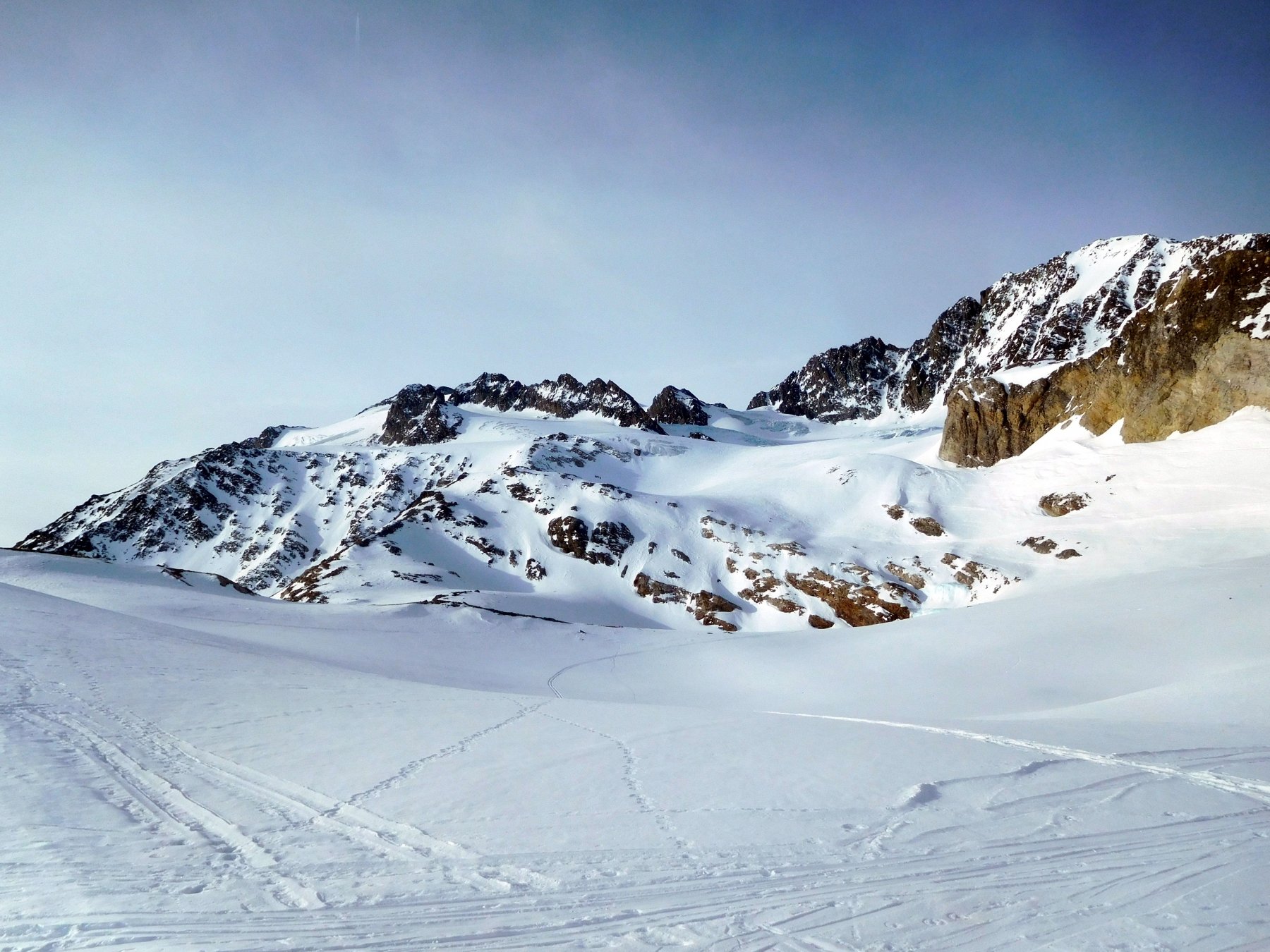
Dal rifugio, risalire verso sud gli ampi valloni ondulati verso il Glacier de la Réchasse. Evitare la costiera rocciosa della Pointe de la Réchasse, tenendosi a destra e passando sotto la spalla rocciosa a circa 3000 m di quota sul Glacier de la Roche Ferrari. Proseguire in direzione sud-est fino alla cresta della Réchasse fino a 3050 m circa, poi risalire la parte alta del versante sud fino alla cima.
Discesa sullo stesso versante. In condizioni di innevamento ottimali è possibile scendere alcuni canali a sud-ovest (intorno ai 40°), che danno direttamente sul Glacier Ferrari. Dal Glacier de la Réchasse si può evitare di pasare dal colle de la Vanoise e dal Rifugio, per ampi valloni a tratti anche ripidi (intorno a 35°) esposti a nord che danno sul vallone del Cirque d’Arcellin
- Cartografia:
- IGN 1/25.000 3534ET - 3633ET
Nelle vicinanze Mappa
Itinerari
Grande Casse Grands Couloirs
 0m
0m
Grande Casse (Col de la) da Felix Fauvre
Chasseforet (Dome de) da Pralognan
Glière (Col de la) da Pralognan la Vanoise
 400m
400m
Polset (Dome de) da Pralognan la Vanoise per la Val Chavière
 600m
600m
Eaux Noire (Roc des) da Pralognan la Vanoise, traversata Col des Fond – Col Rouge
 850m
850m
Arpont (Dome de l’) e Dome de Chasseforet da Pralognan la Vanoise, traversata S-N (3 gg)
 1.3Km
1.3Km