150m
150m

Note
 50m
50m
400m
400m
400m
400m
1.1Km
1.1Km
1.1Km
50m
50m
400m
400m
400m
400m
1.1Km
1.1Km
1.1Km
.
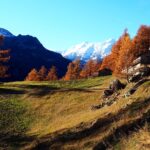
Avvicinamento
Autostrada A5 uscita Aosta Ovest - Saint Pierre, poi statale 26 sino ad Arvier da dove si risale la Valgrisenche fino al Capoluogo, dove conviene parcheggiare nel grosso piazzale poco prima del centro abitato.
L'inizio del sentiero è in corrispondenza dell'area picnic di Plan Moulin, raggiungibile tramite una breve strada asfaltata ma vige un divieto di accesso (anche se pare non venga rispettato). Una decina di posti auto.
Descrizione
L'inizio del sentiero è in corrispondenza dell'area picnic di Plan Moulin, raggiungibile tramite una breve strada asfaltata ma vige un divieto di accesso (anche se pare non venga rispettato). Una decina di posti auto.
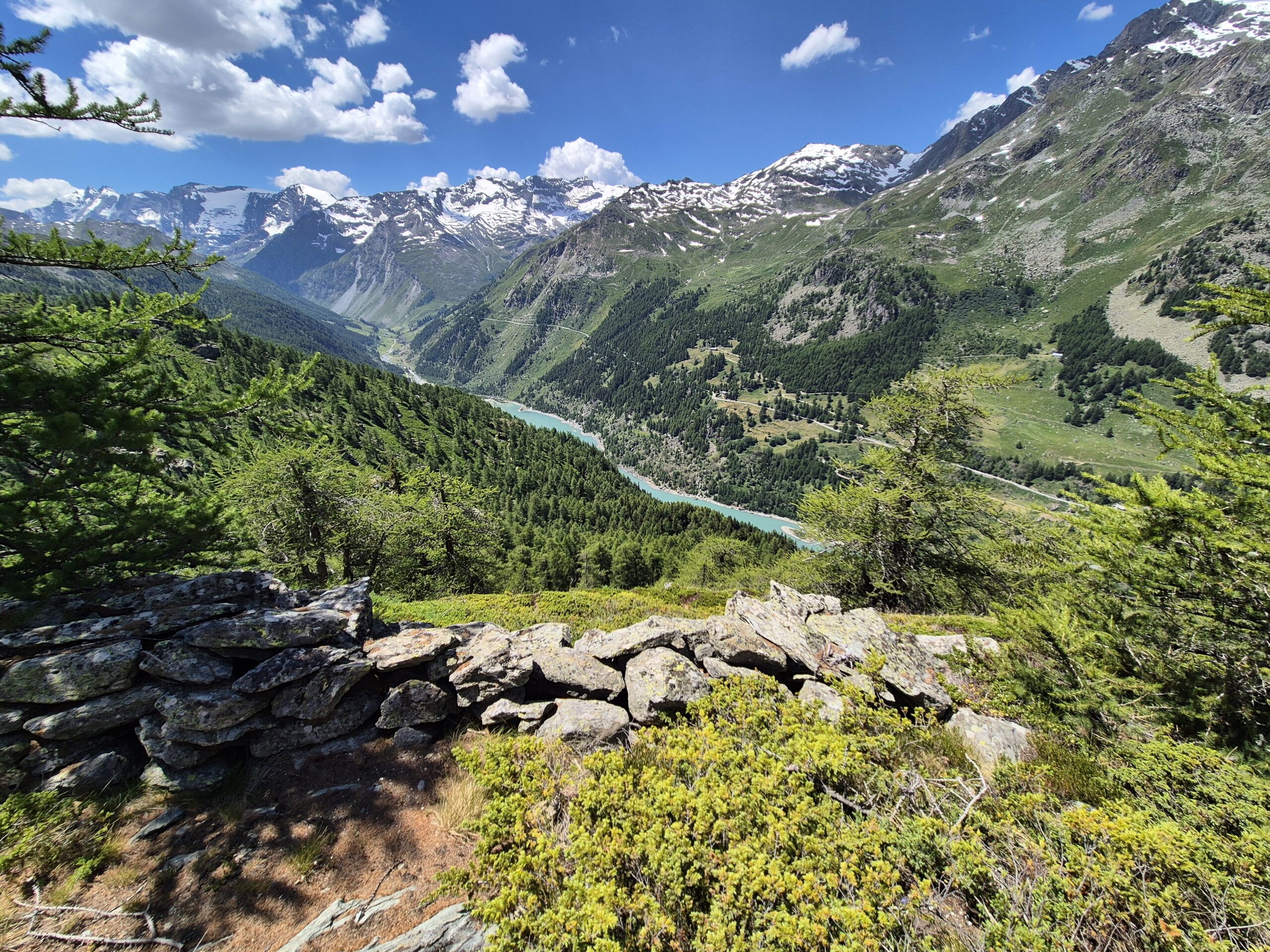
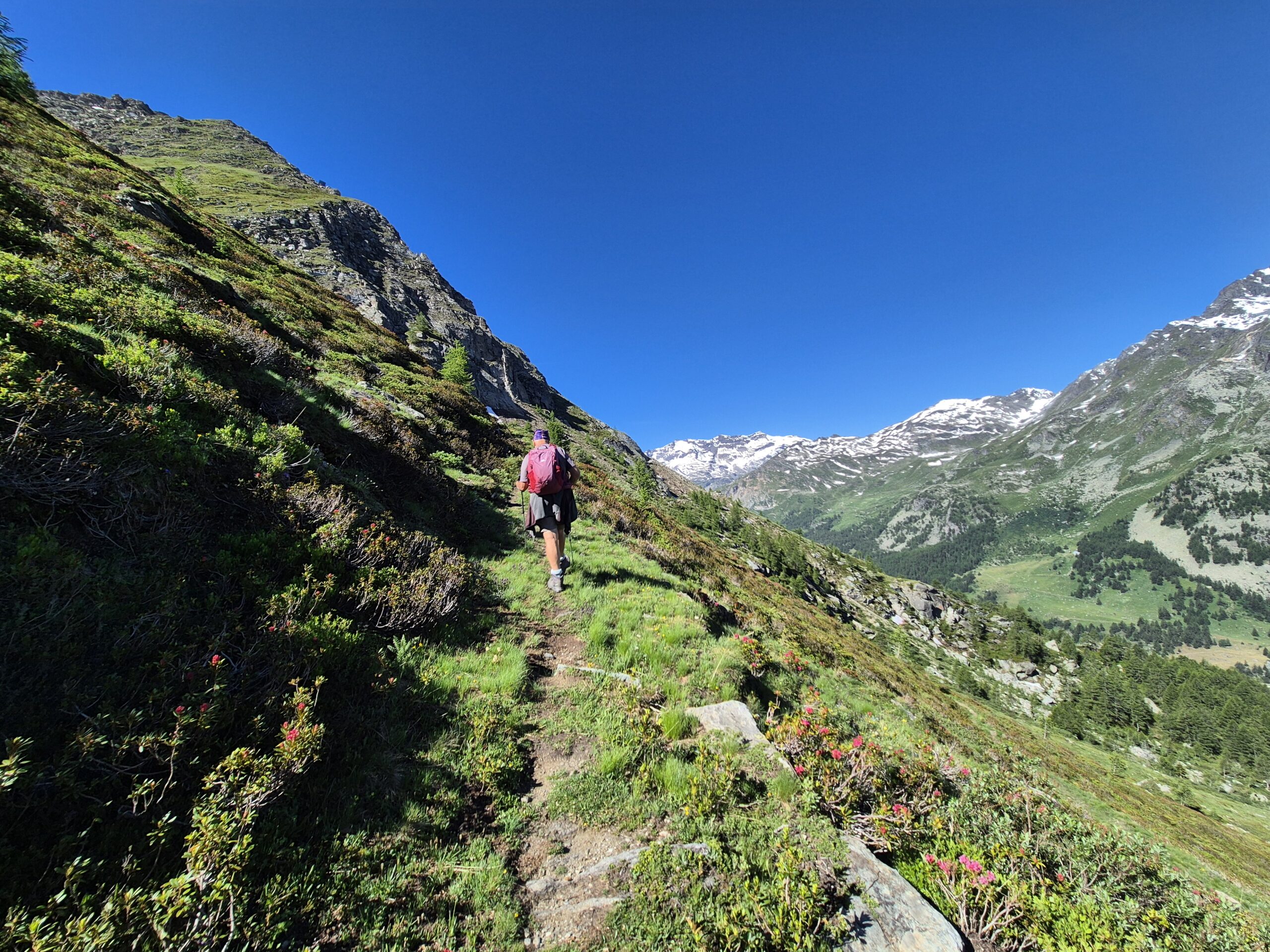
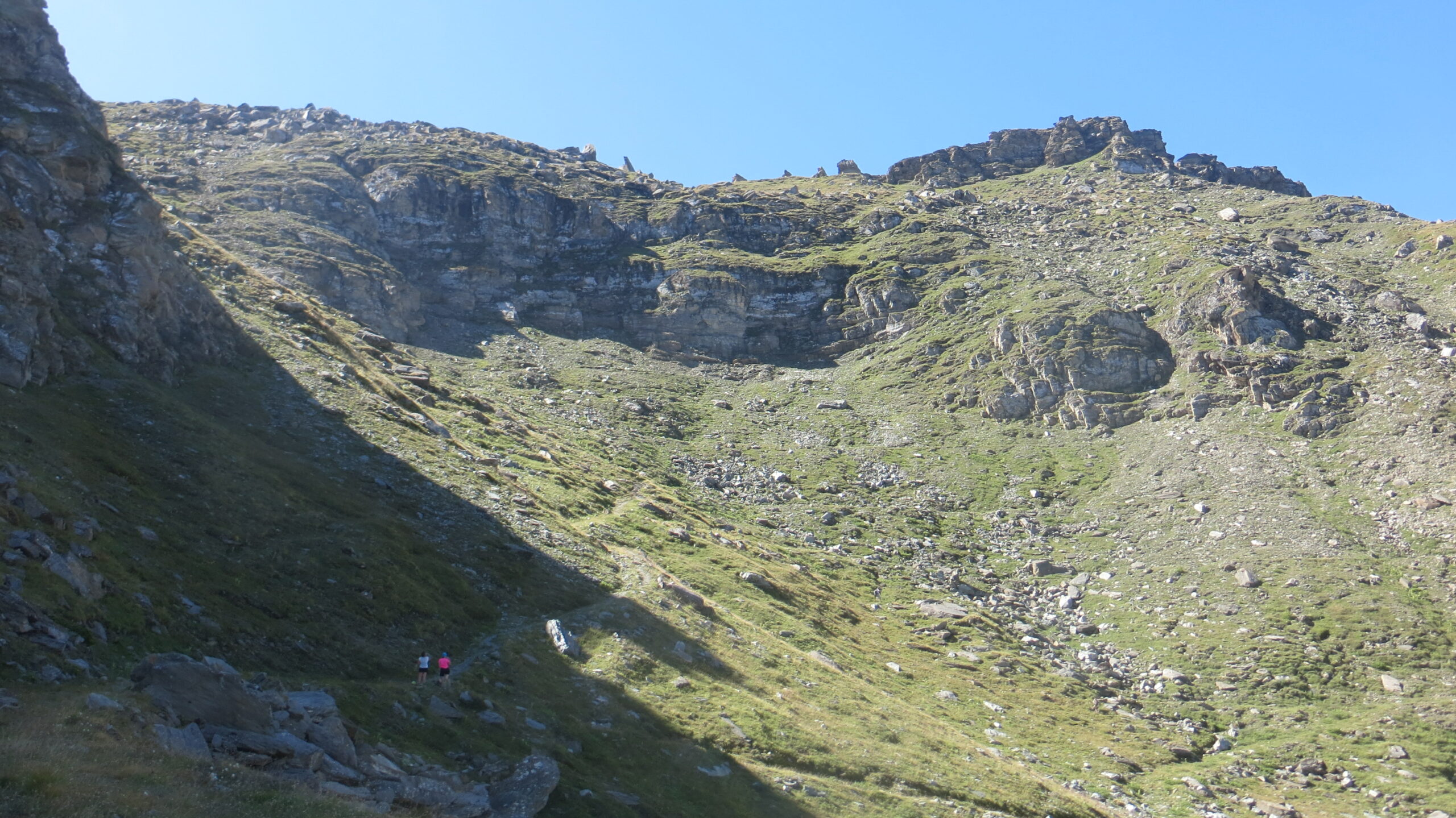
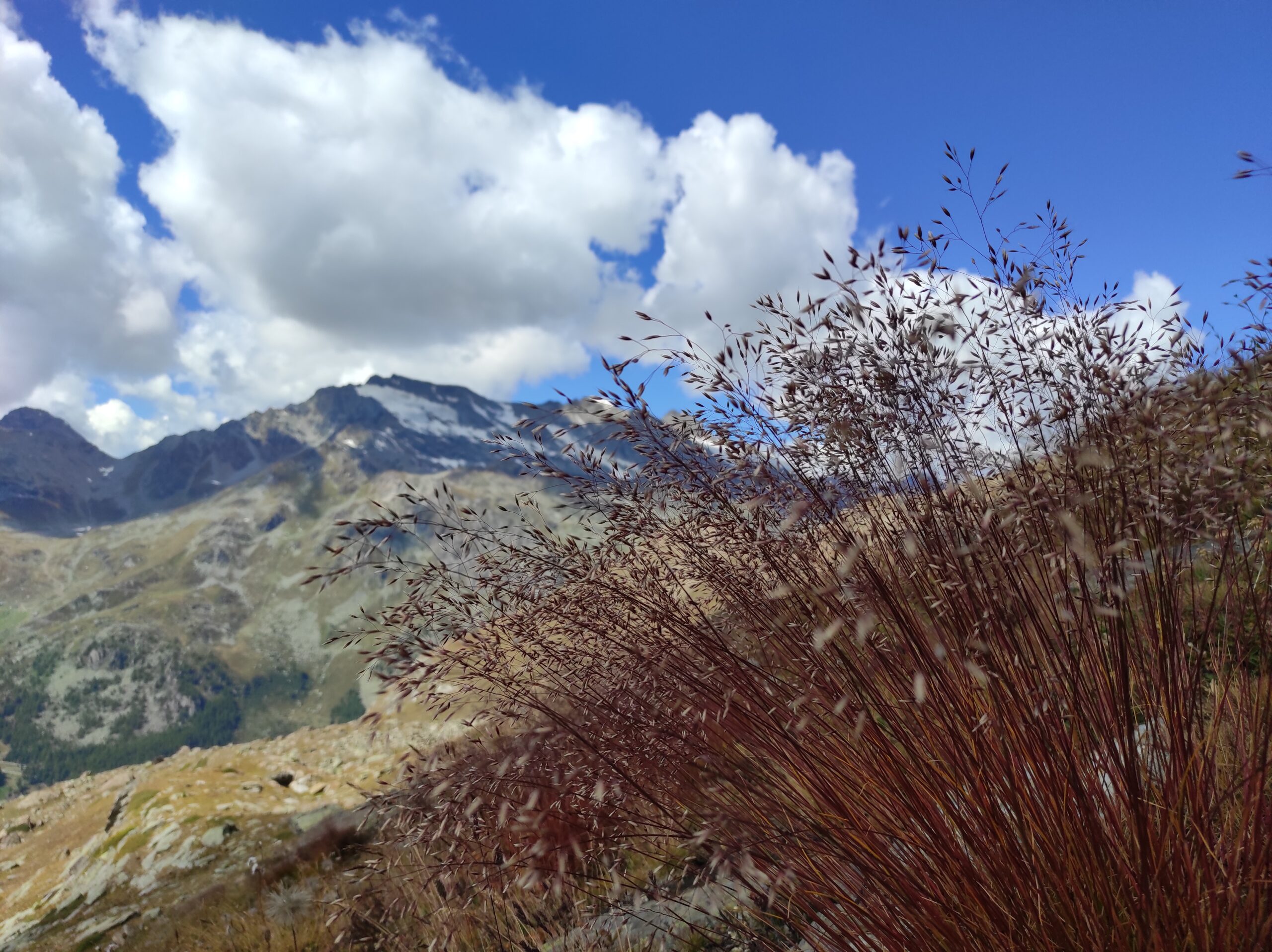
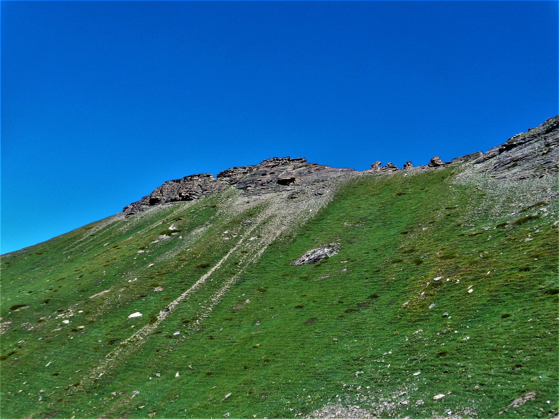
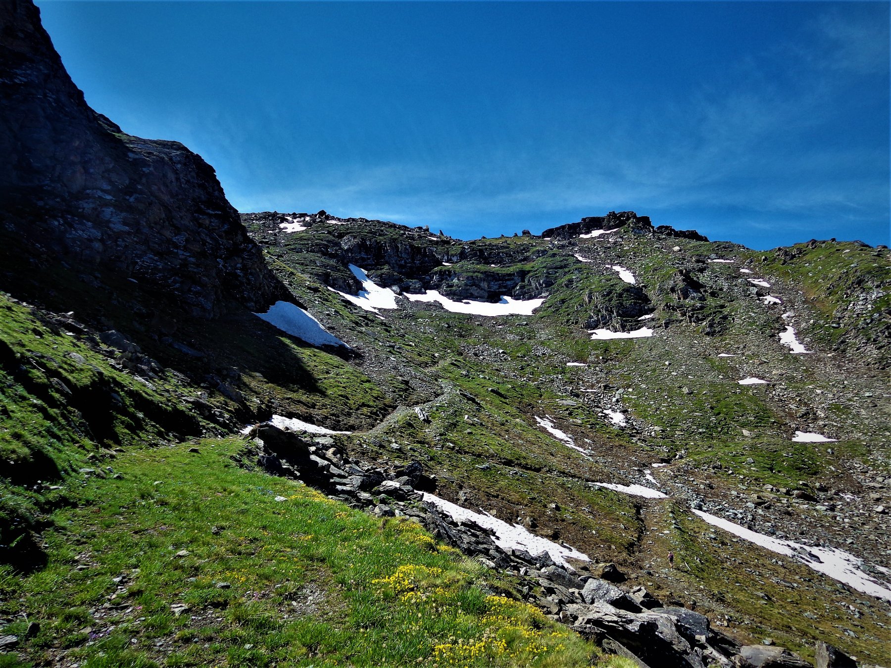
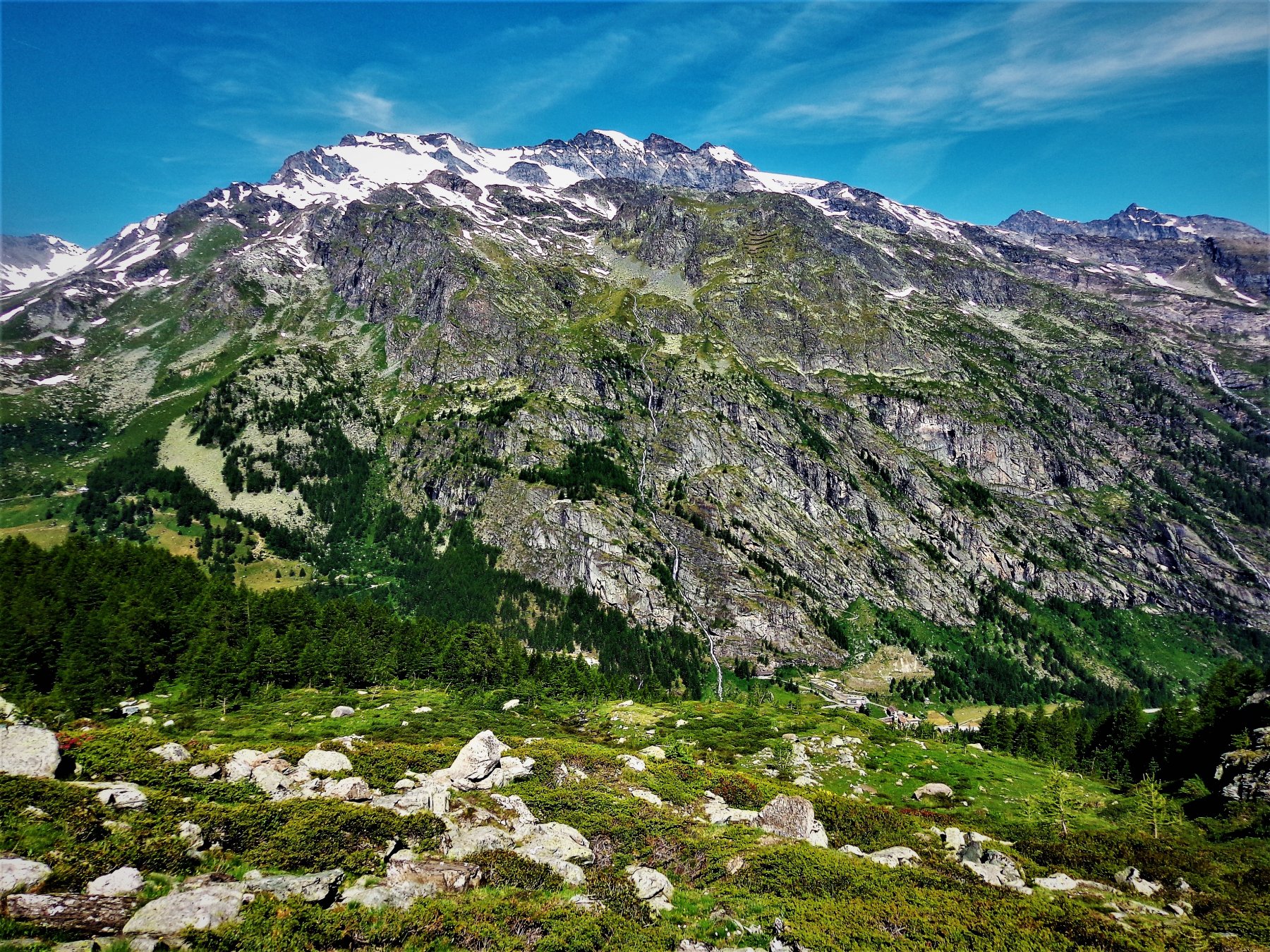
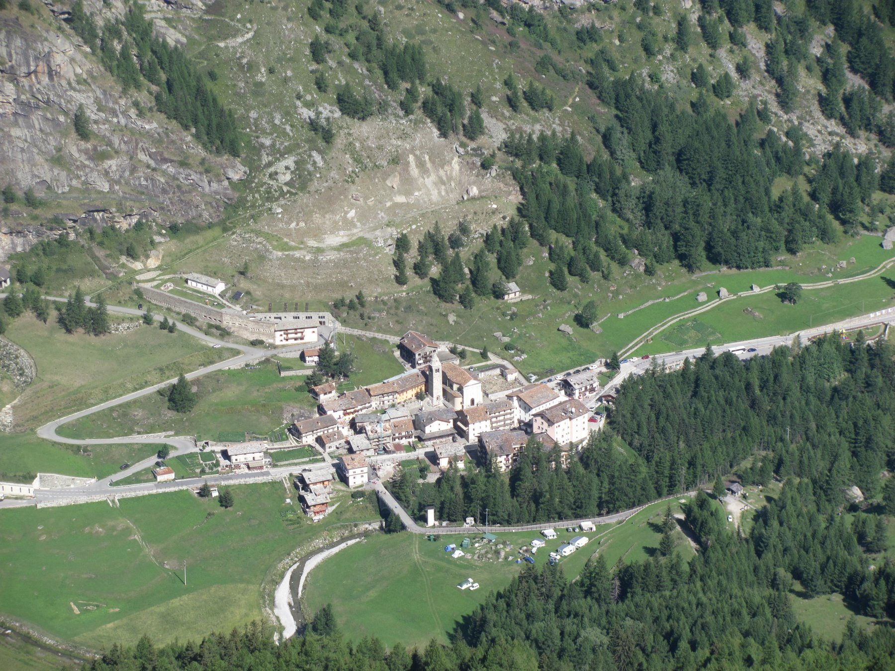
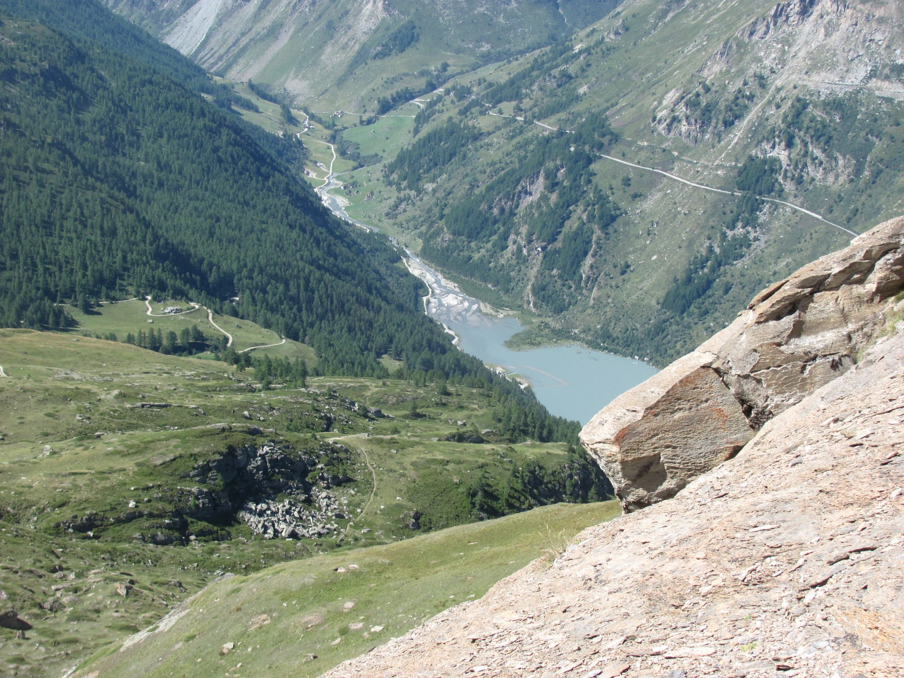
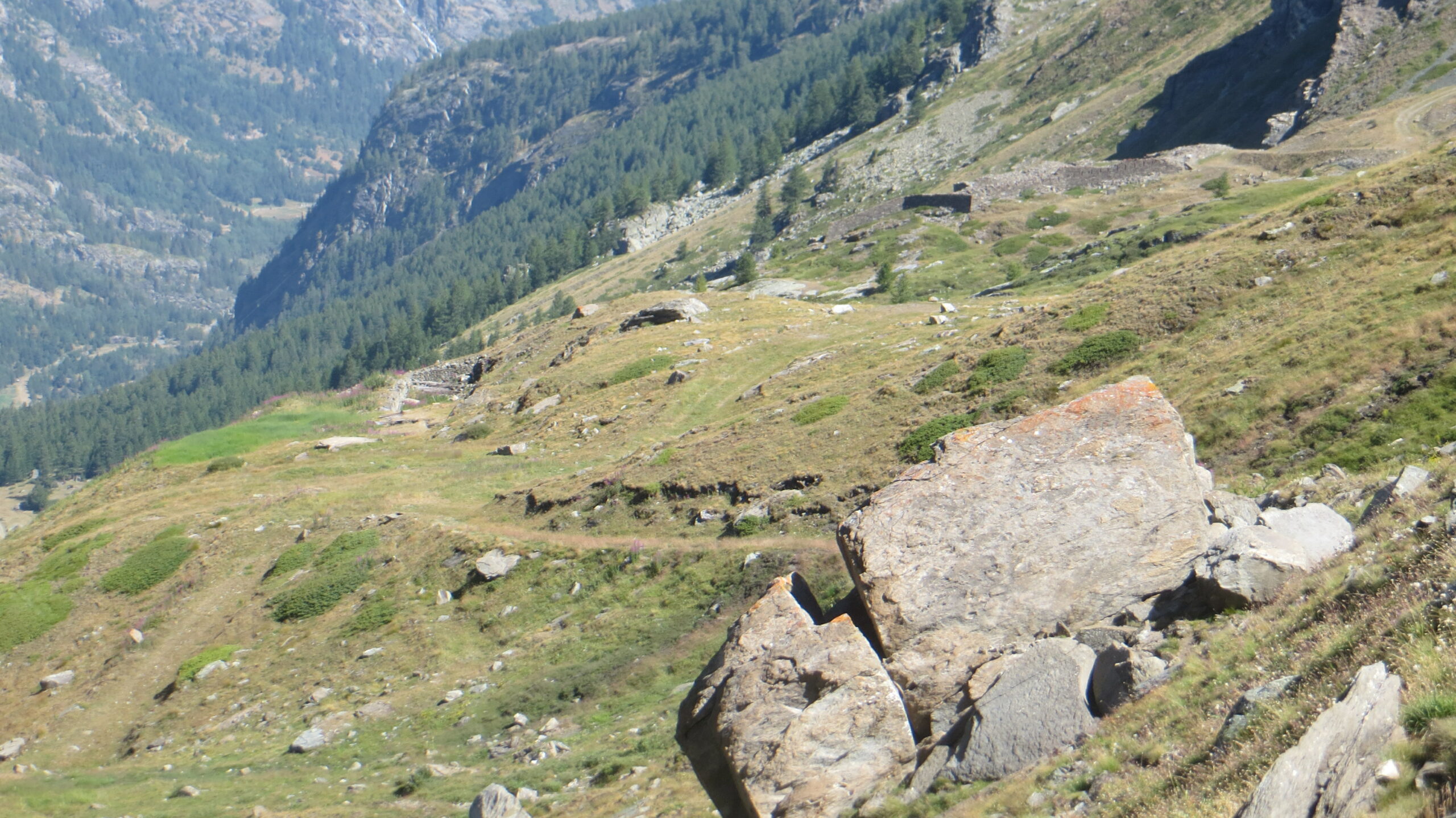
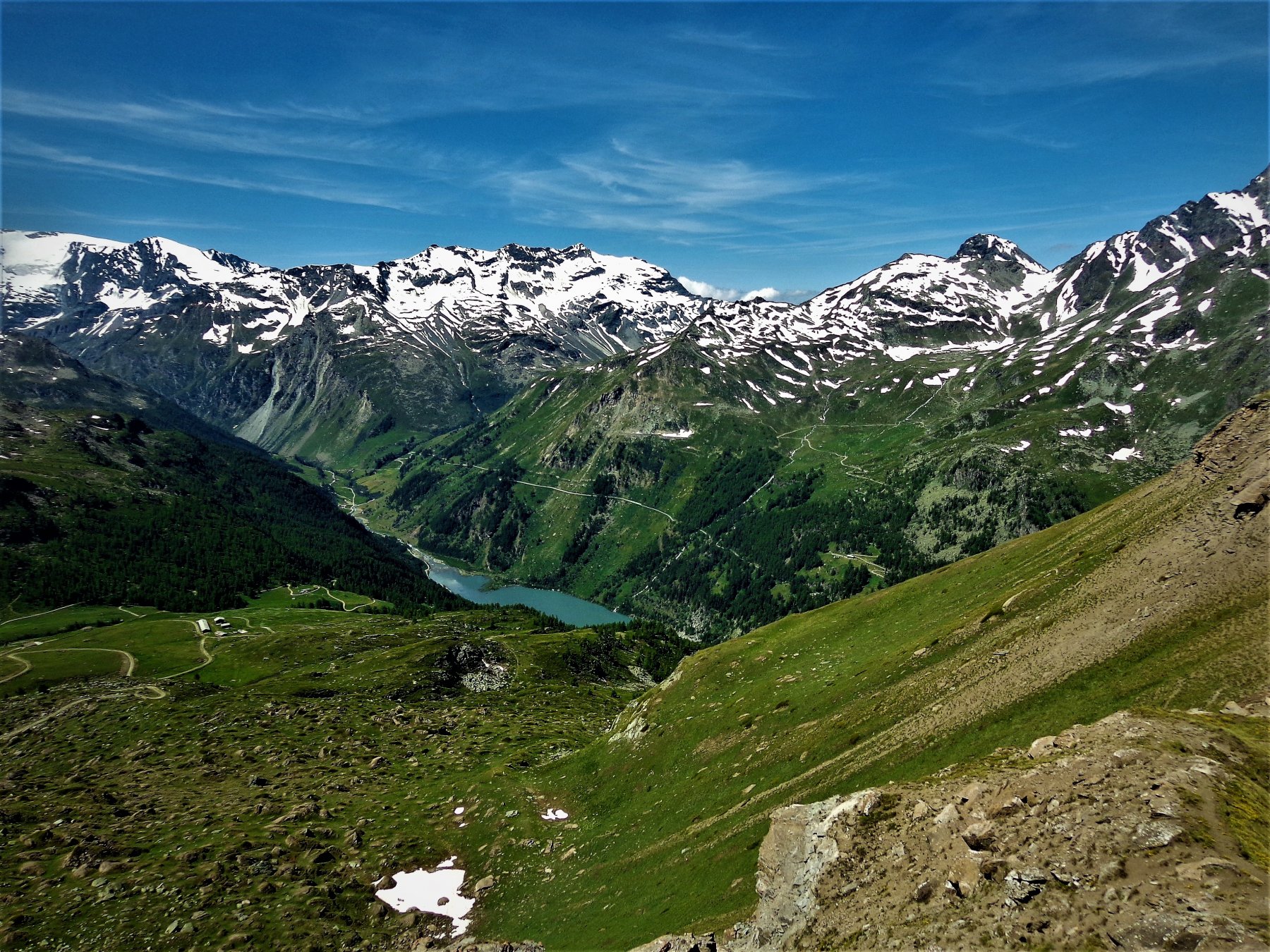
Da Valgrisenche si raggiunge l’area picnic di Plan Moulin, oltre la quale inizia uno sterrato che va seguito fino al termine (è breve) nei pressi di un alpeggio. Poco prima di esso un cartello indica a destra il sentiero n.6 che andrà seguito. Questo sentiero sale nel bosco, in buona pendenza ma mai eccessiva; pur non essendo segnato coi classici segnavia gialli non ci sono possibilità di errore. Si attraversa una zona con dei ruscelletti e due prese dell’acquedotto, quindi si riprende a salire fino ad uscire dal lariceto in un piccolo ripiano, anche qui alcuni ruscelli e un’altra costruzione in cemento.
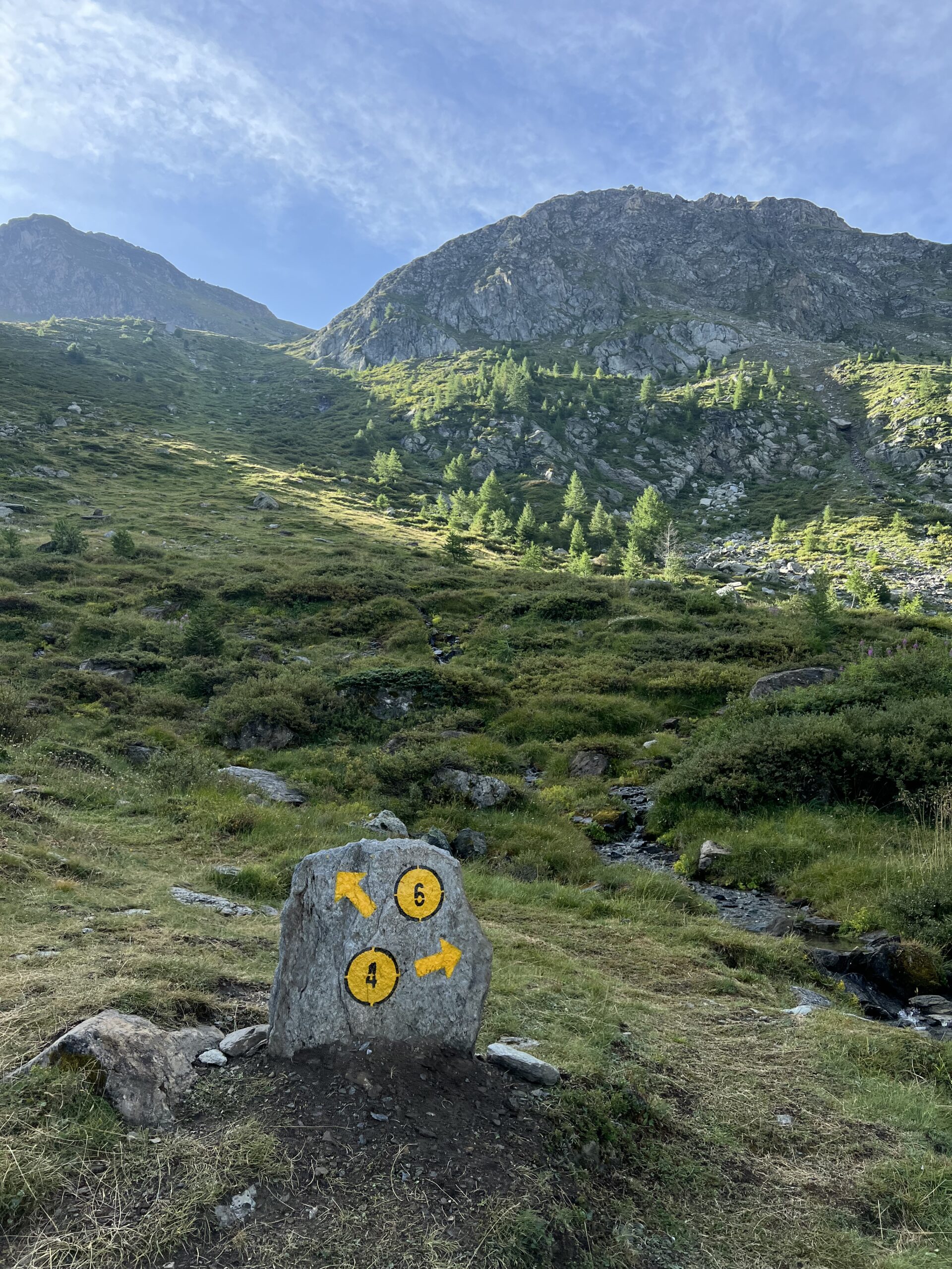
Si incontra un quadrivio, si prosegue sempre sul sentiero n.6 che dopo un breve tratto in piano a sinistra, riprende a salire per il costone di cespugli sovrastante, finchè si incontra una stradina inerbita che andrà seguita verso sinistra, abbandonando il sentiero 6 che prosegue a destra per la Becca dei Quattro Denti.
La stradina in breve confluisce nella poderale principale di Maison Forte 2365 m (che rimane poco più a sinistra in basso).
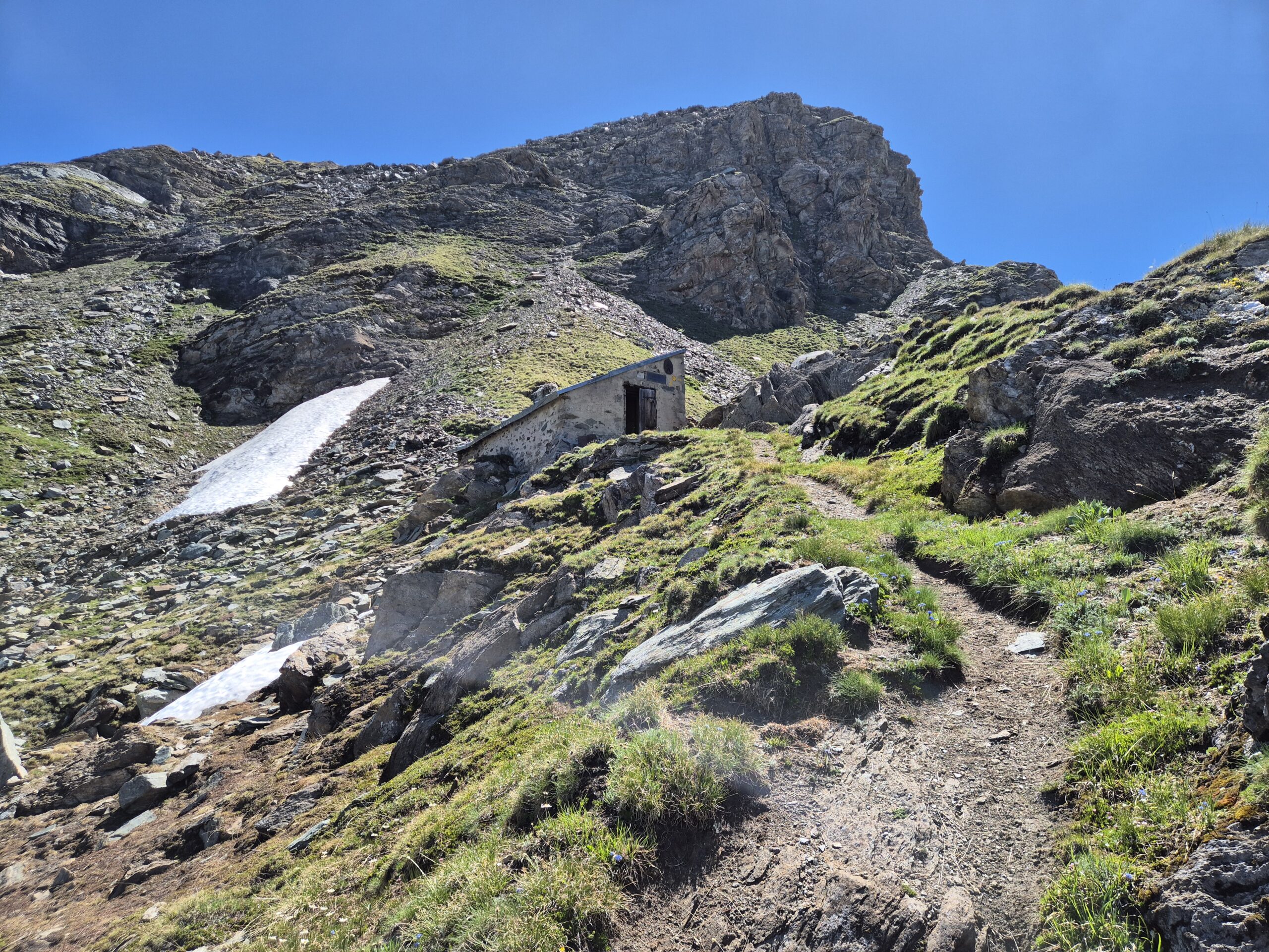
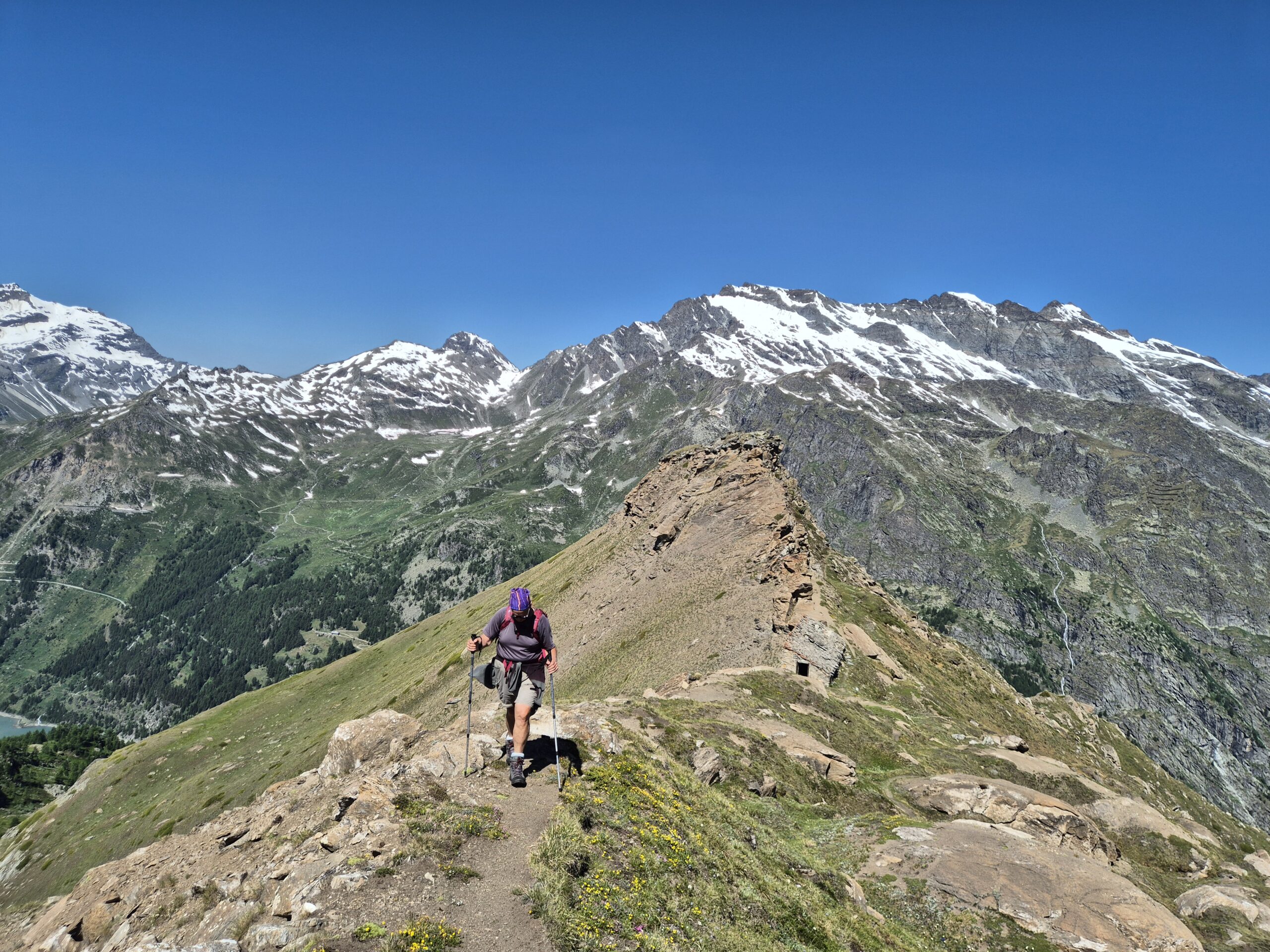
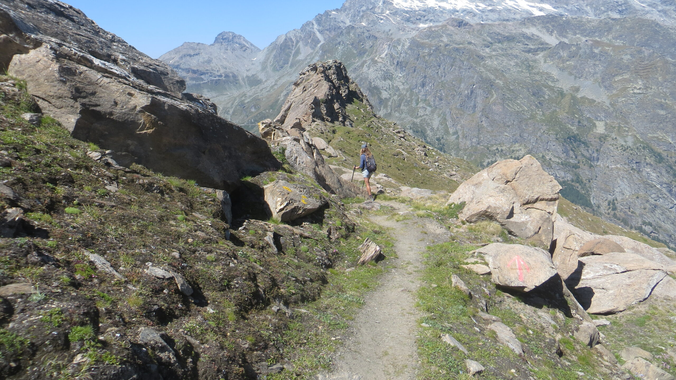
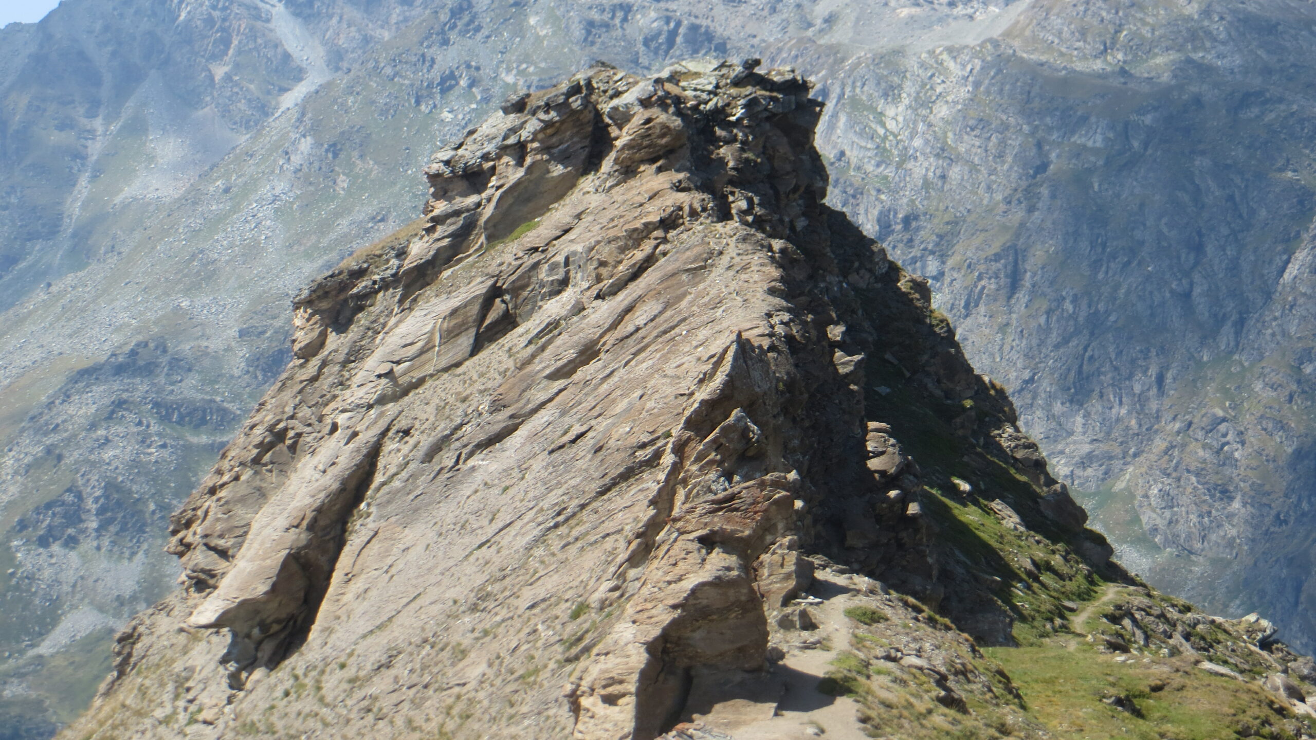
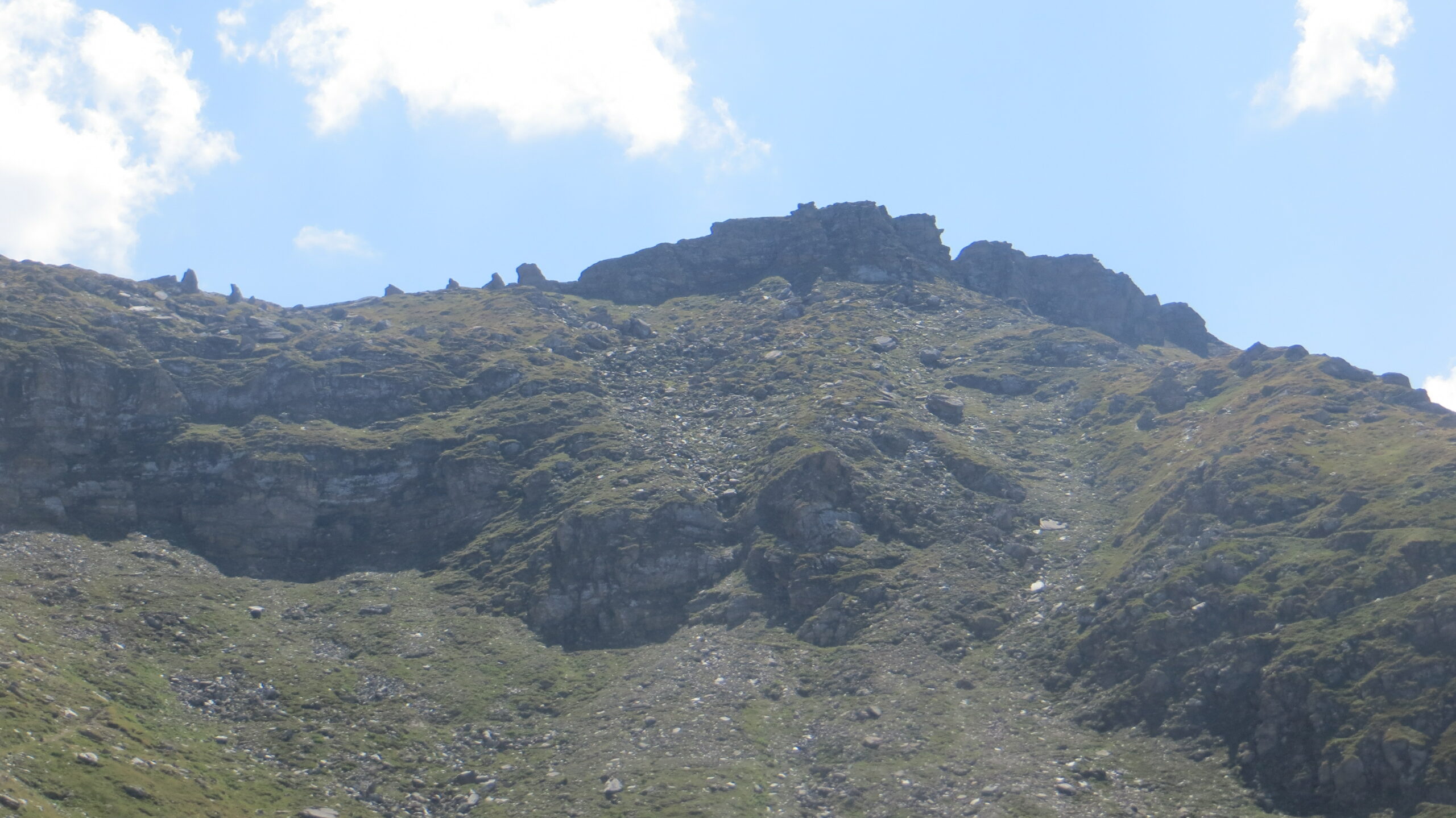
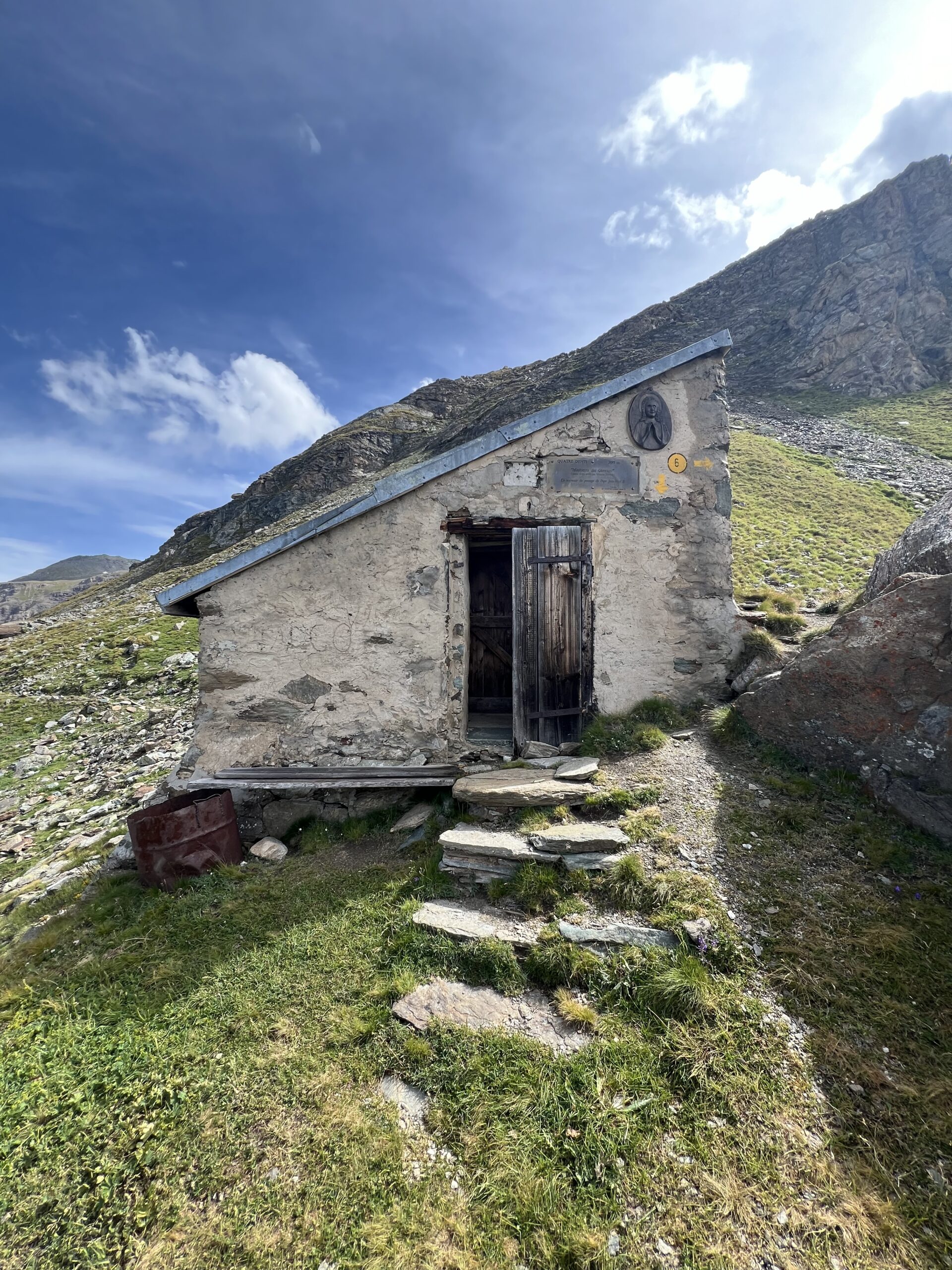
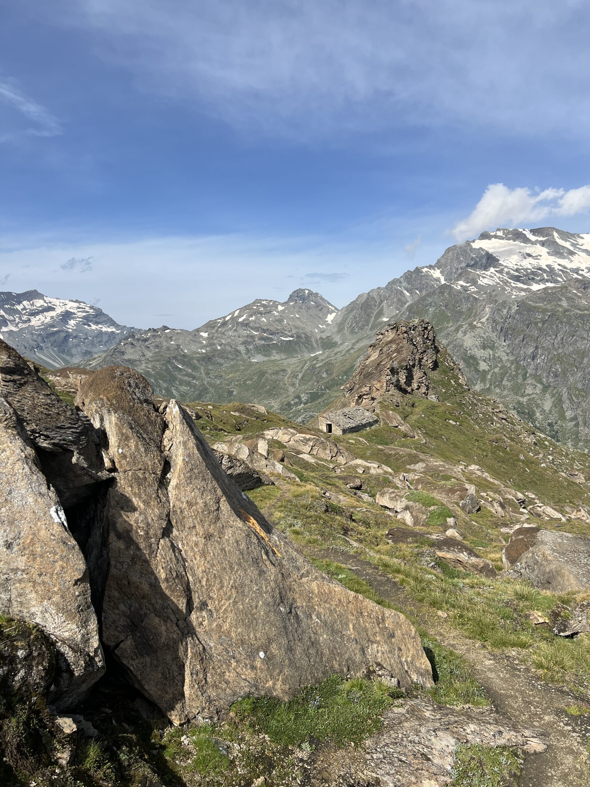
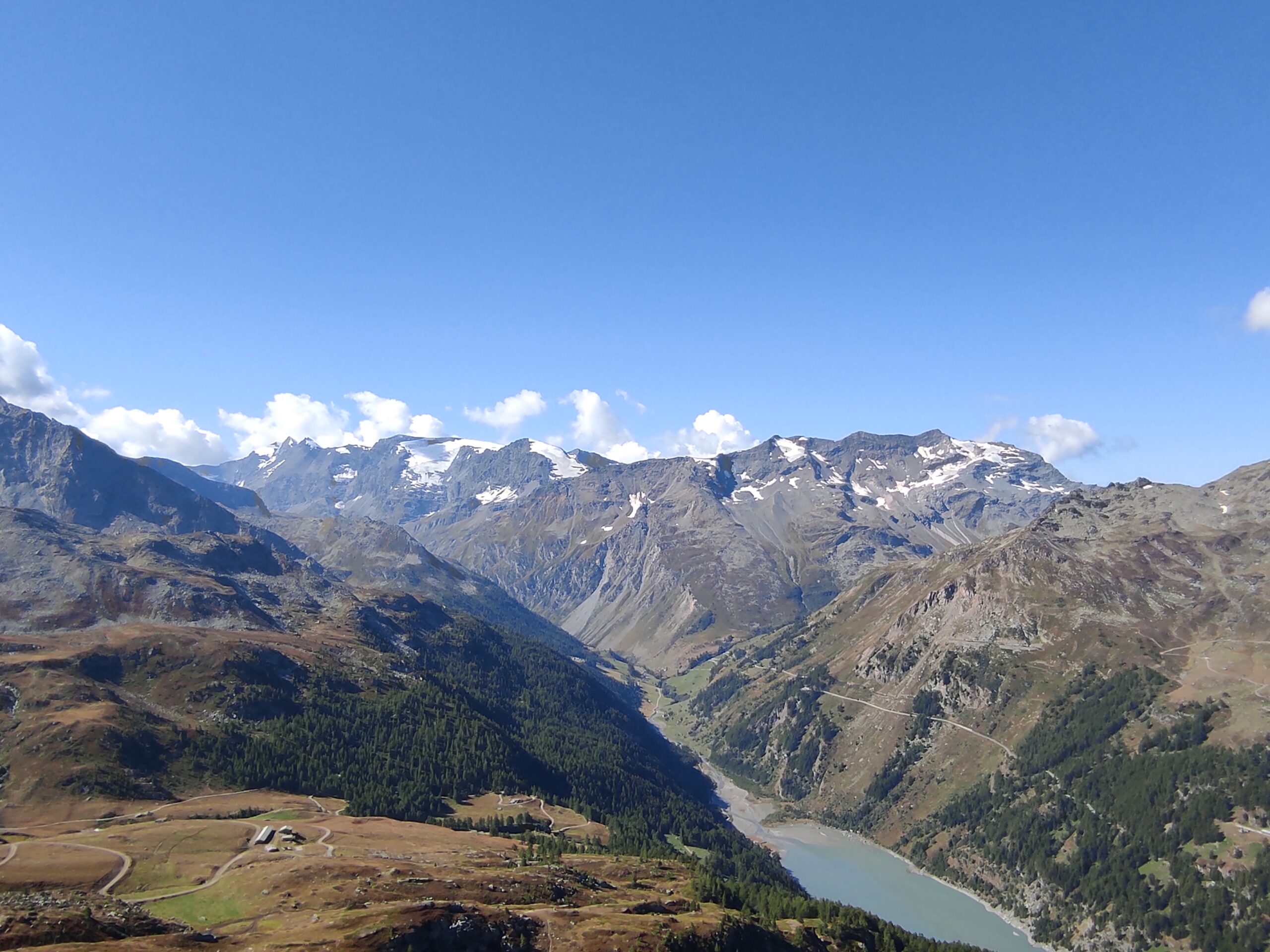
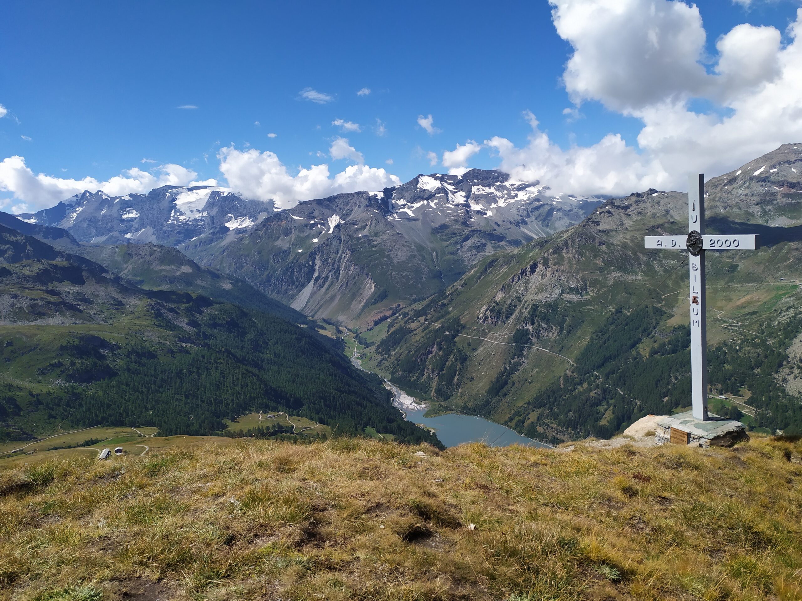
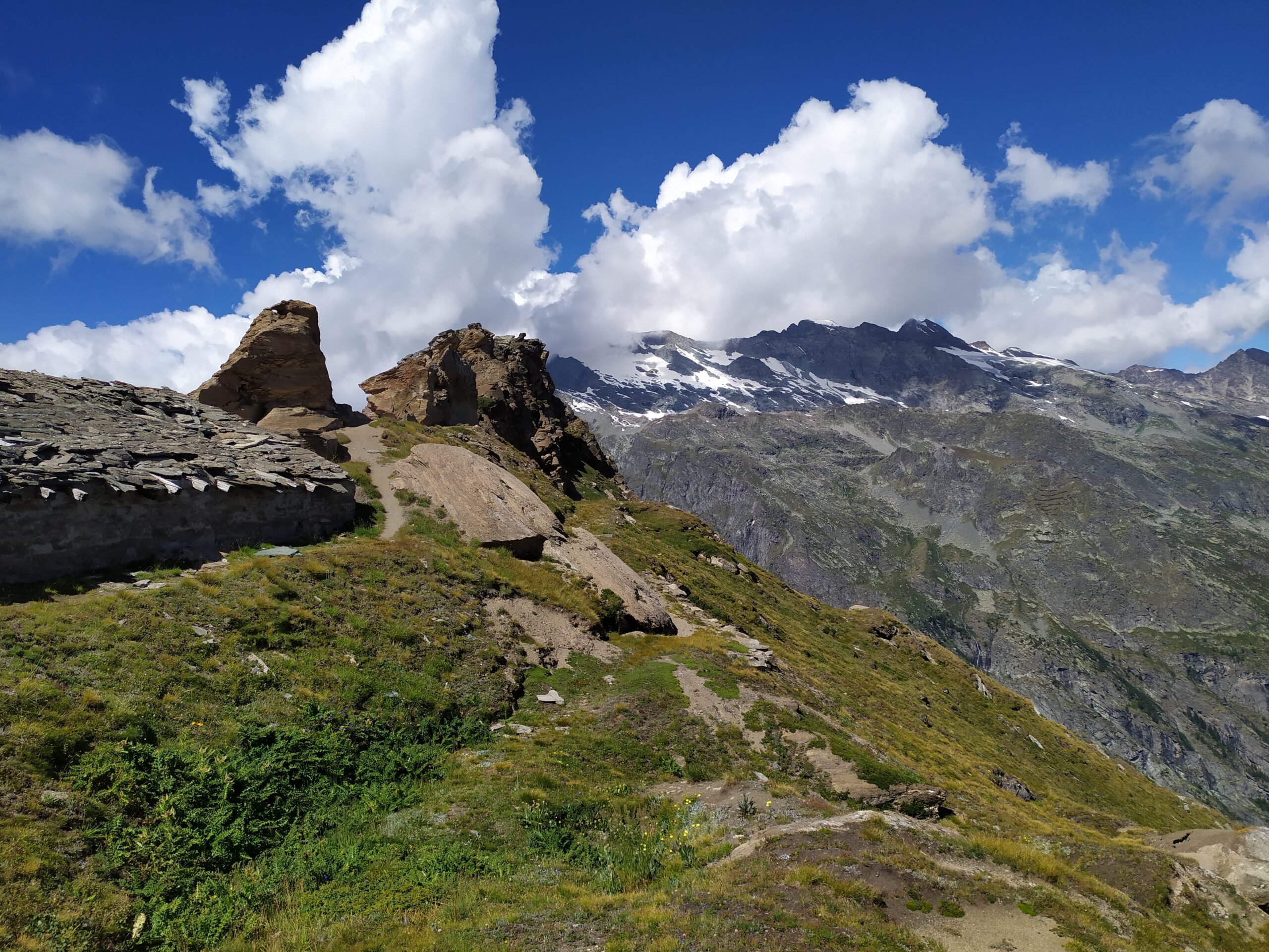
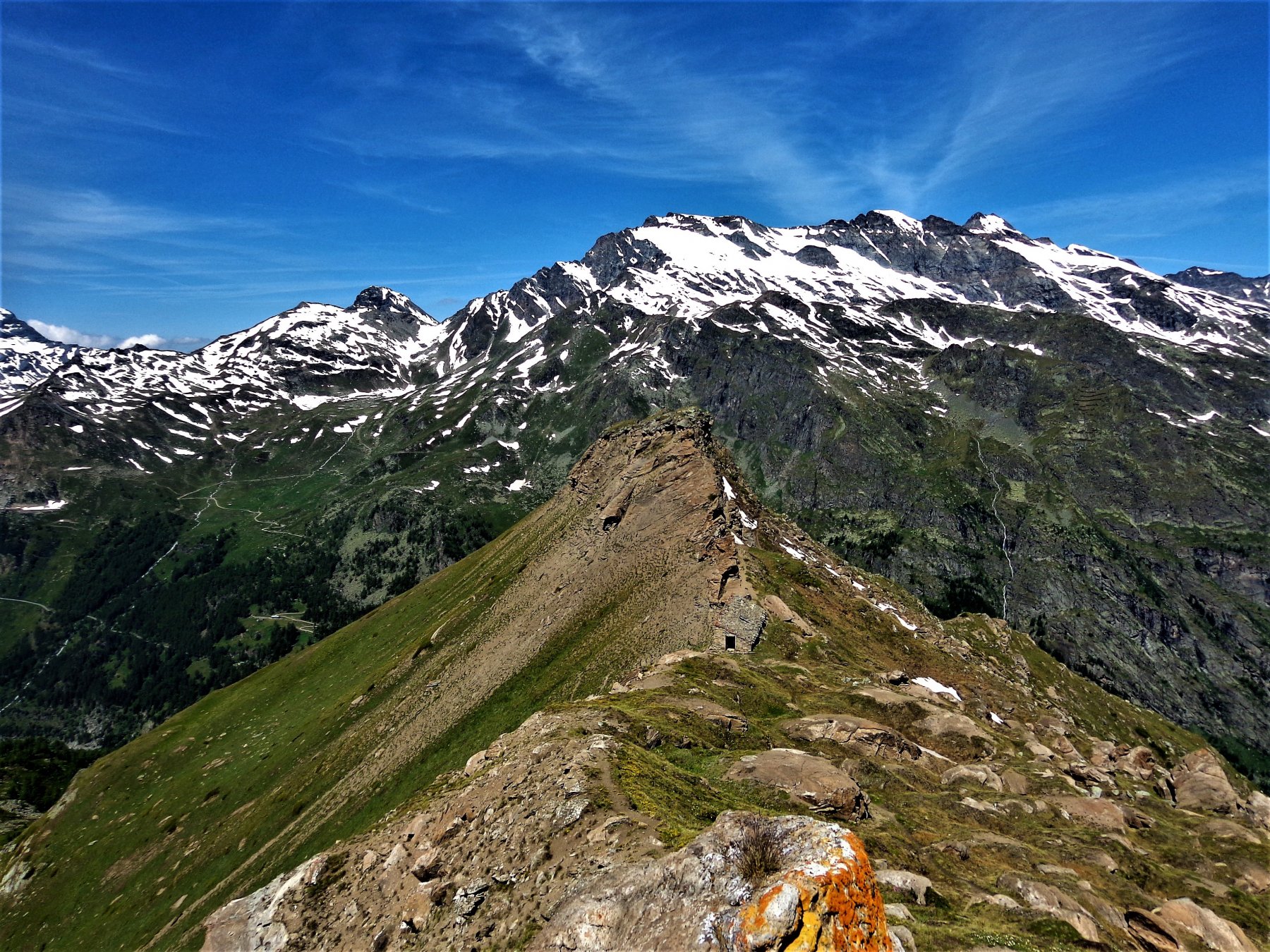
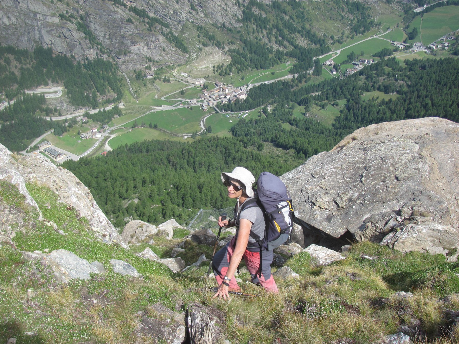
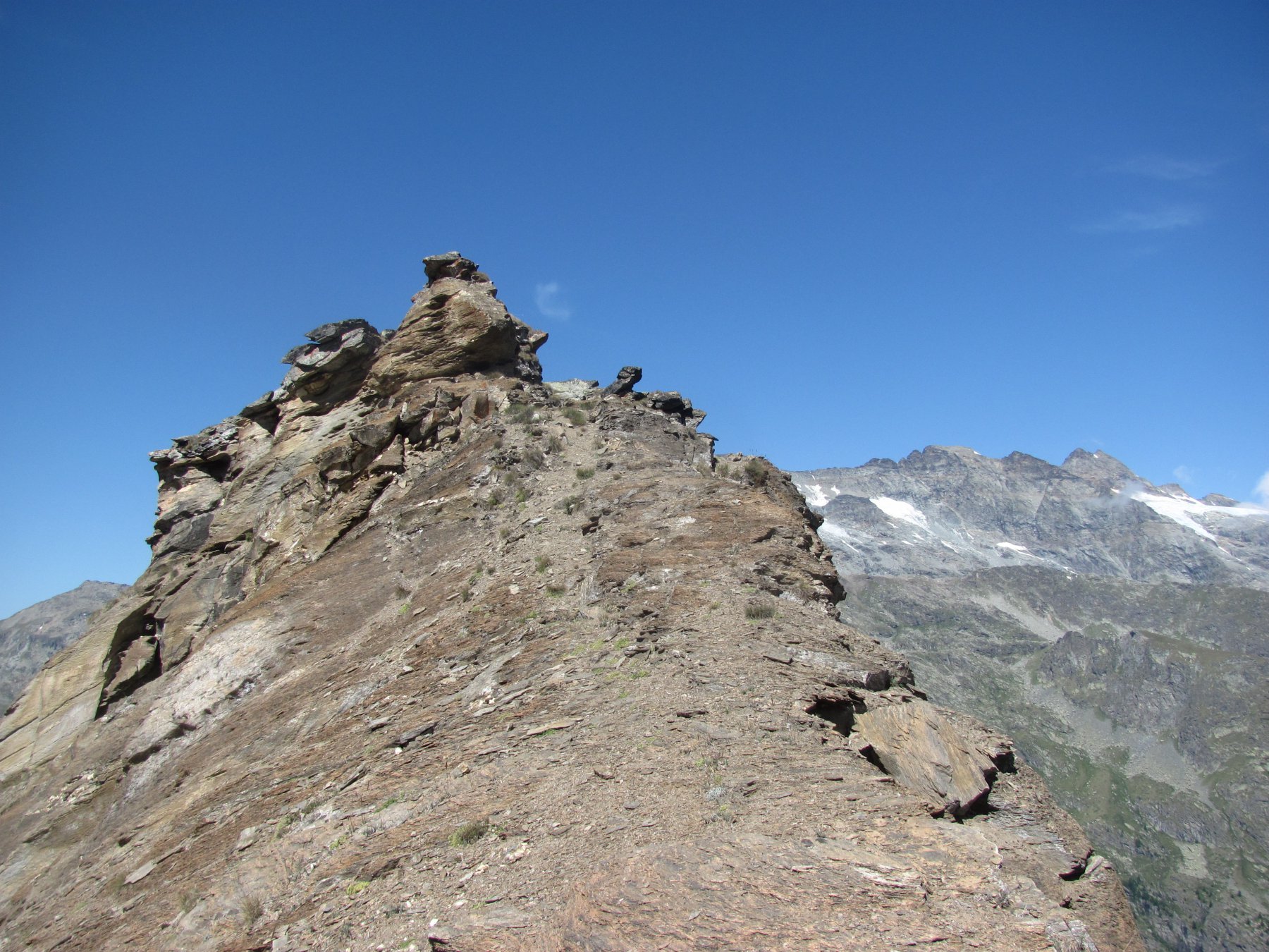
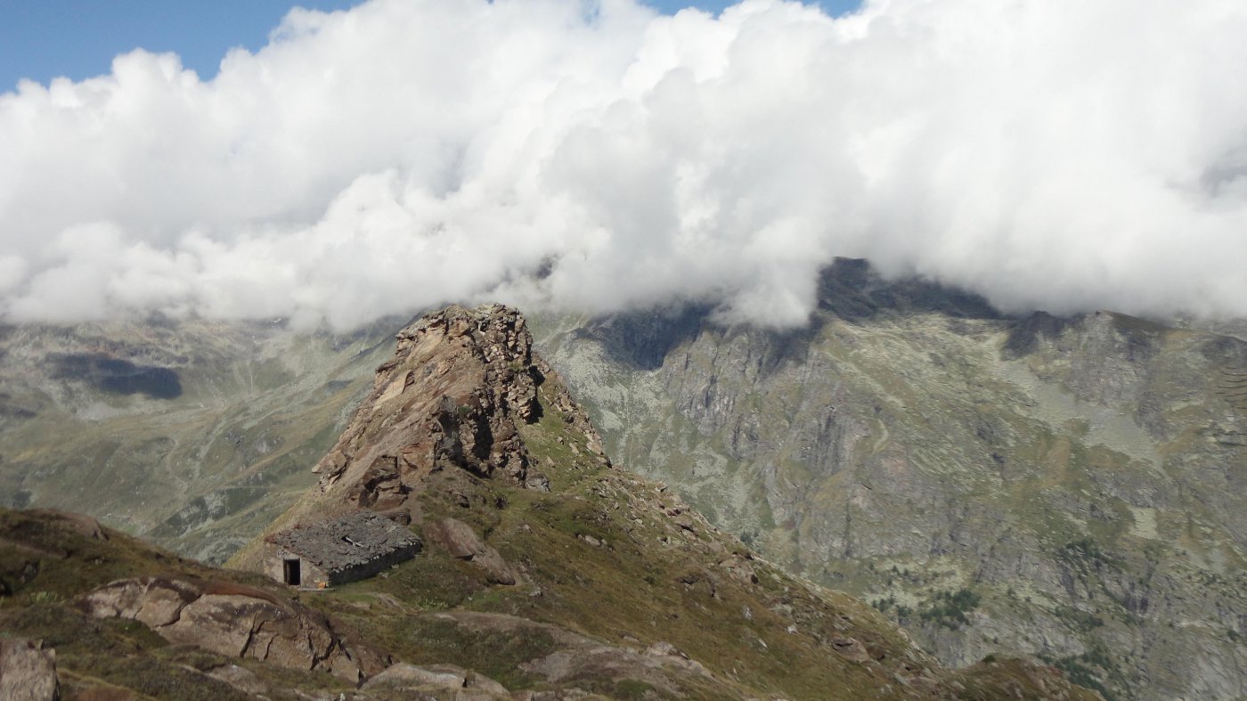
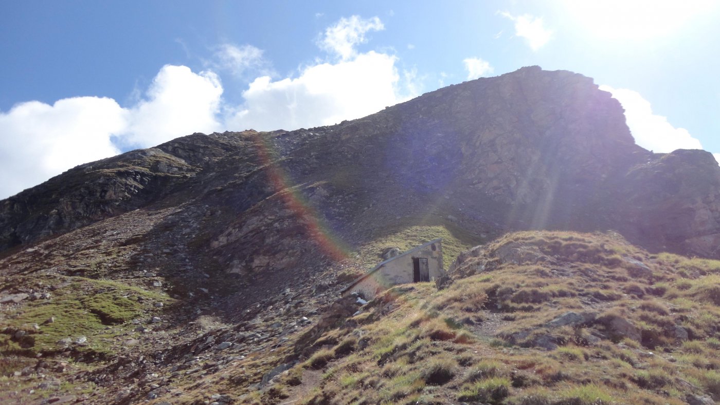
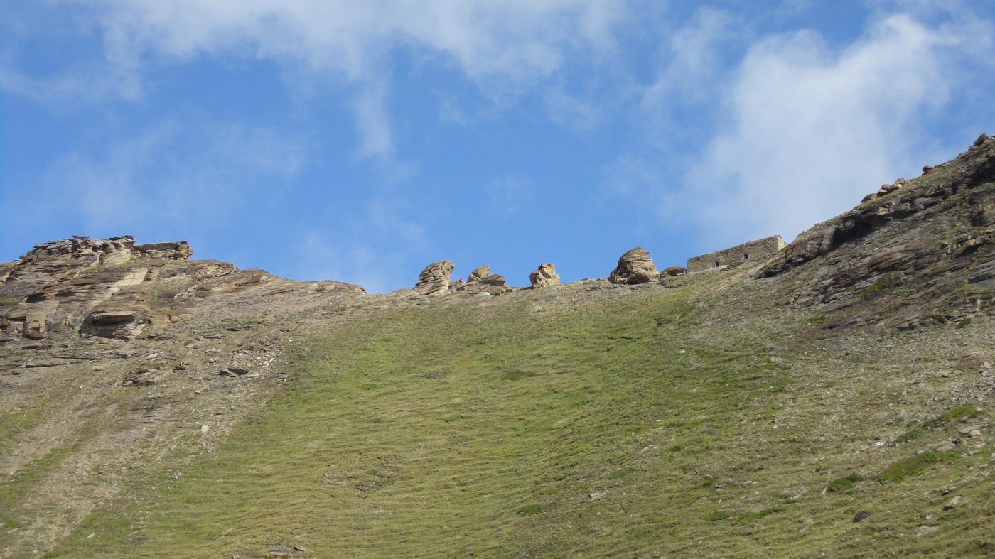
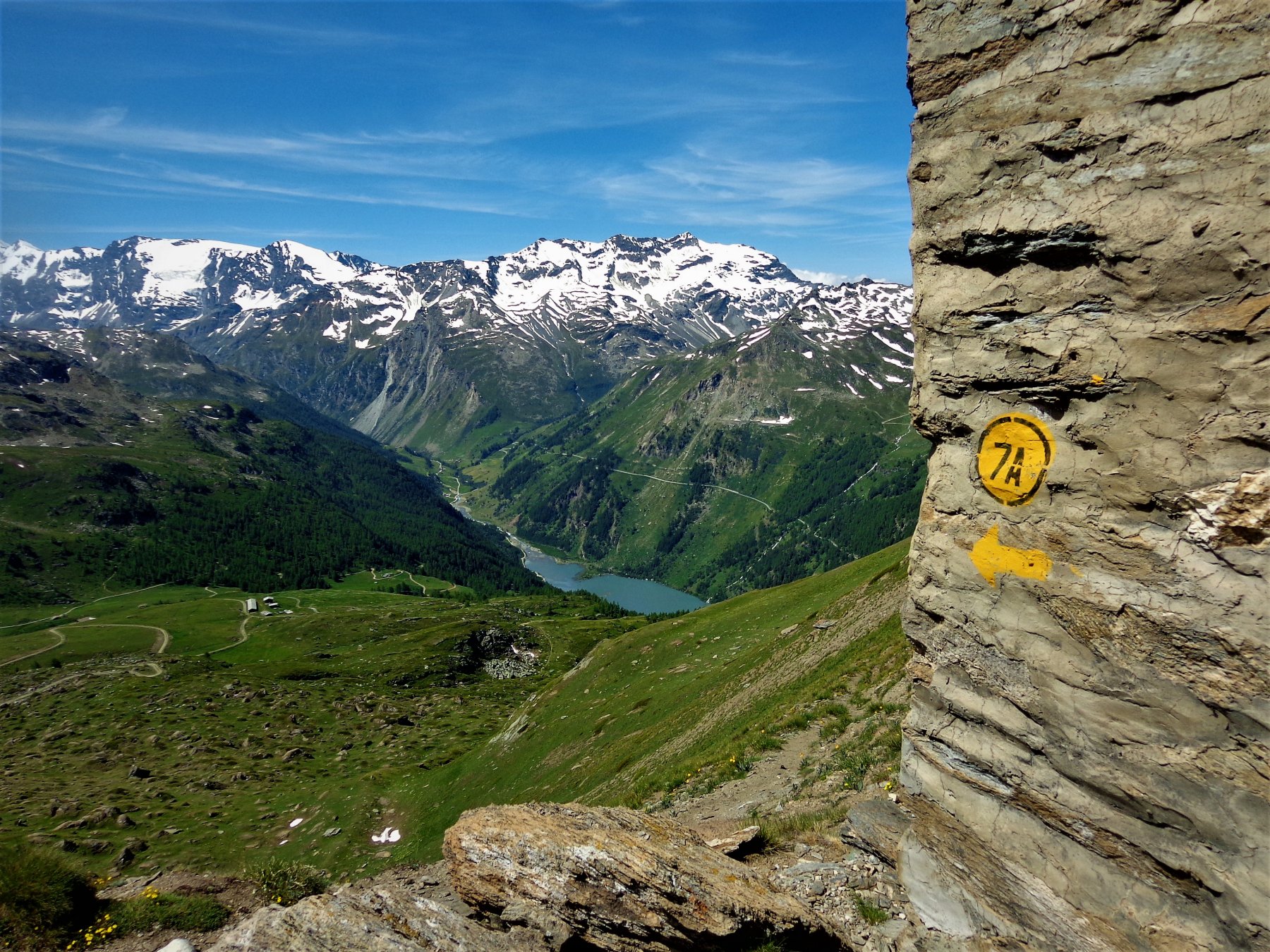
La strada continua sino ai piedi di un ripido pendio che proviene dalla Becca dei Quattro Denti. Un sentiero si stacca a sinistra e, con varie svolte, permette di giungere sulla dorsale della becca nei pressi del ricovero militare Testafochi. Un sentiero in leggera discesa segue la larga cresta della montagna sino ai resti di un altro ricovero militare ubicato alla base delle formazioni rocciose biancastre che formano appunto la Becca dei Quattro Denti 2639 m.
Partenza alternativa da Plantè (percorso più lungo e meno diretto):
si parcheggia l’auto nella piazzetta della chiesa o in un piccolo spiazzo dopo il successivo tornante (1 o 2 posti max). Dalla piazza, ci si inoltra fra le case voltando a dx, si attraversa la strada asfaltata e si prende il sentiero n.5 che porta a Verconey inferiore e superiore, dove si imbocca una larga poderale (n. 4) fino a Maison Forte. Da qui come per il percorso sopra descritto.
- Cartografia:
- IGC n. 102 - 25000 - valgrisanche
- Bibliografia:
- andar per sentieri in valle d'aosta - pietro giglio
Nelle vicinanze Mappa
Itinerari
15/09/2024 AO, Valgrisenche D+ 1563 m EE Nord-Ovest
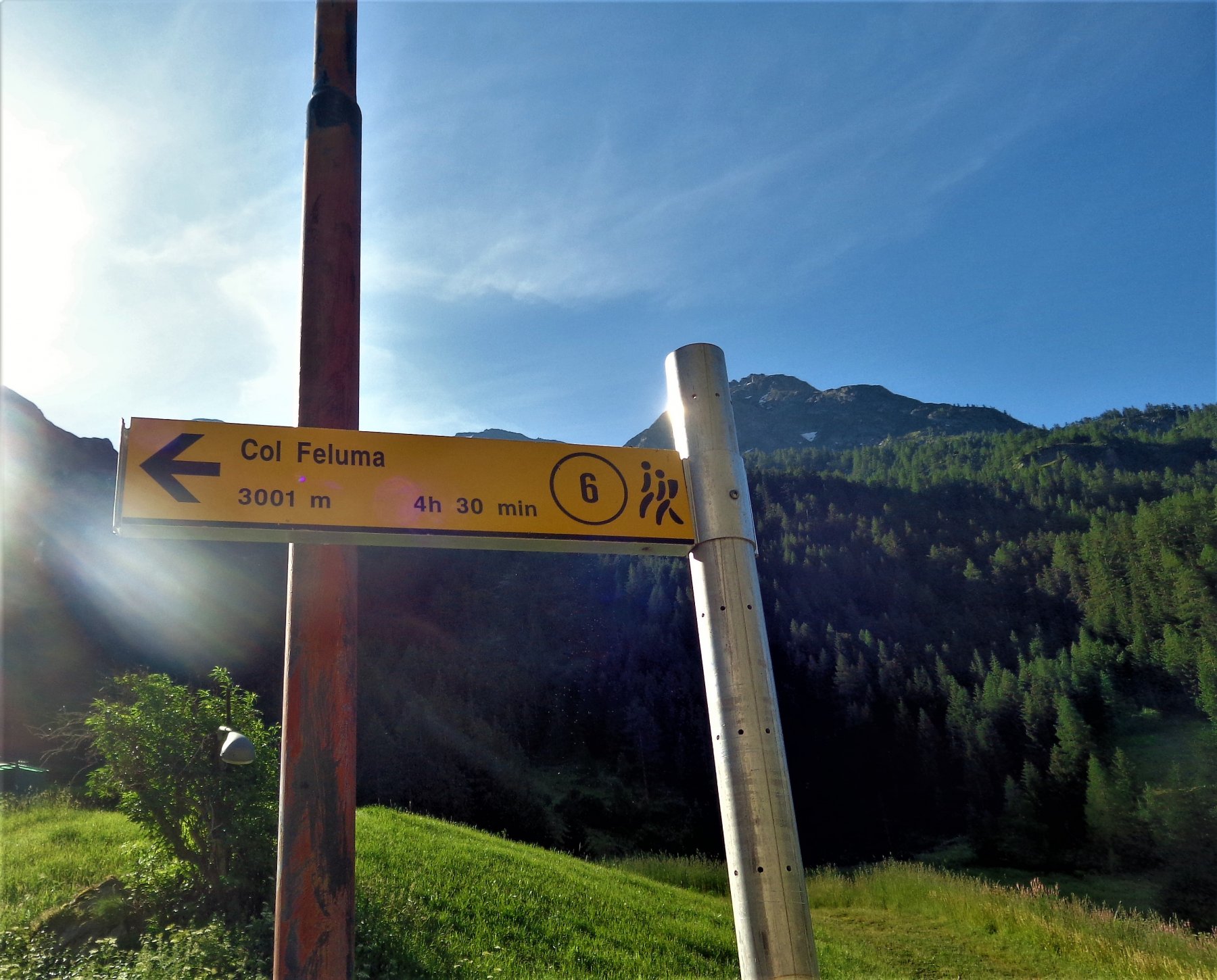
Feluma (Punta) da Valgrisenche
 50m
50m
17/08/2025 AO, Valgrisenche D+ 1300 m E Nord
Angeli (Rifugio degli), ex Scavarda da Valgrisenche
 50m
50m
15/01/2024 AO, Valgrisenche D+ 4137 m EE Varie
Giro dei Giganti Tappa 2: Valgrisenche – Cogne
50m
26/06/2022 AO, Valgrisenche D+ 1466 m EE Varie
Finestra (Colle) da Valgrisenche, traversata a Rhemes Notre Dame per il Vallone di Pra Londzet
 400m
400m
24/07/2015 AO, Valgrisenche D+ 1232 m EE Varie
Cussunaz o Cussuna (Colle di) da Valgrisenche
 400m
400m
04/08/2024 AO, Valgrisenche D+ 1575 m EE Ovest
Pré Damon (Becca di) da Mondanges
 400m
400m
25/08/2022 AO, Valgrisenche D+ 1044 m EE Varie
Seyaz (Truc de la) da Valgrisenche
 400m
400m
03/10/2025 AO, Valgrisenche D+ 800 m EE Sud-Ovest
Pelà (Mont) da Bonne
 1.1Km
1.1Km
09/10/2025 AO, Valgrisenche D+ 1100 m E Est
Angeli (Rifugio degli) ex Scavarda da Bonne
 1.1Km
1.1Km
24/08/2024 AO, Valgrisenche D+ 1400 m E Sud
Brè (Forclaz du) da Bonne, anello per Ricovero Capanna Ricci e Lago di San Grato
 1.1Km
1.1Km