2.8Km
2.8Km

Note
 100m
100m
150m
200m
2.8Km
3Km
10.3Km
10.3Km
10.4Km
100m
100m
150m
200m
2.8Km
3Km
10.3Km
10.3Km
10.4Km
2.8Km
2.8Km
2.8Km
3.6Km
3.7Km
4.6Km
8.4Km
8.4Km
8.4Km
8.5Km
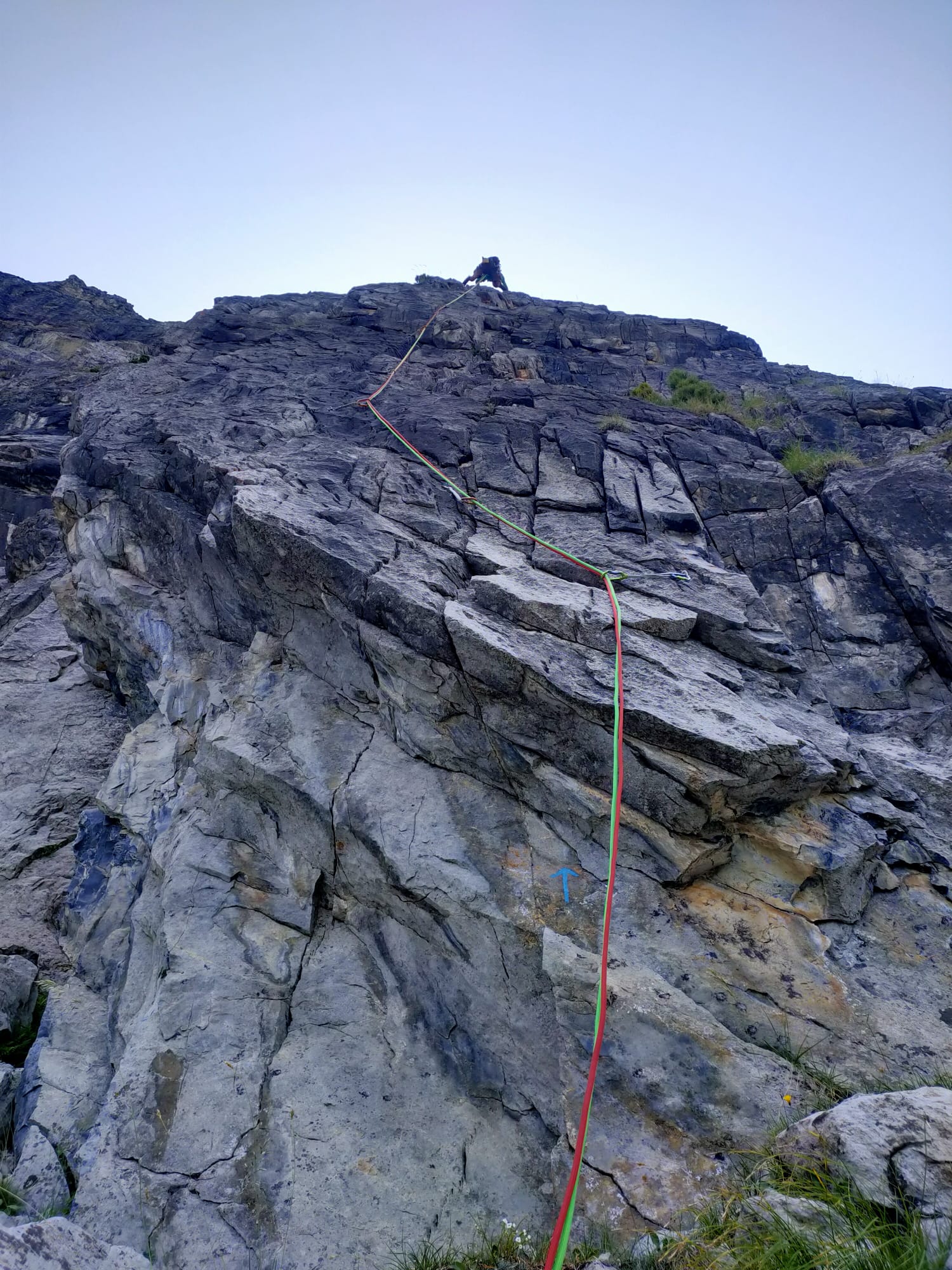
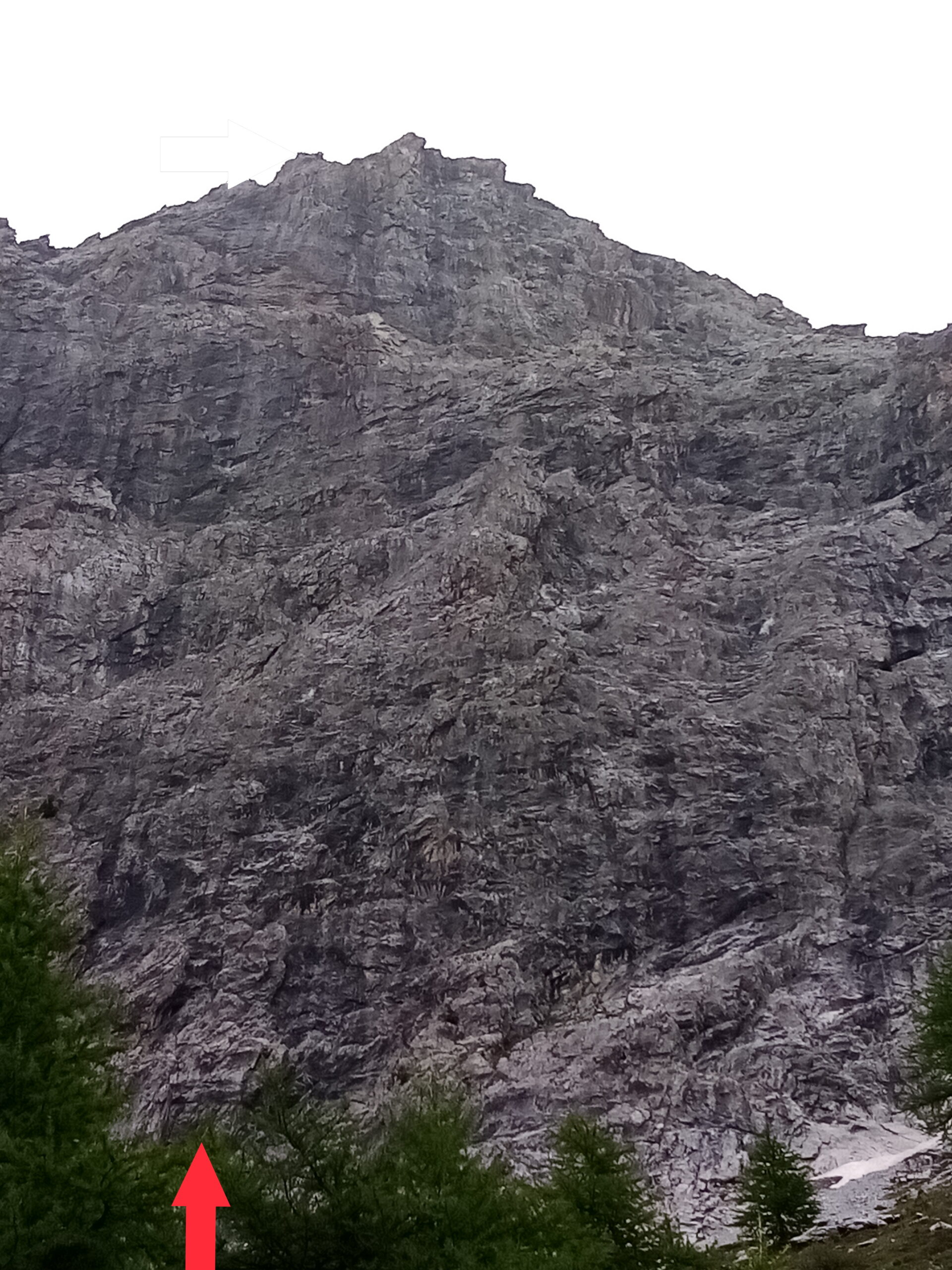
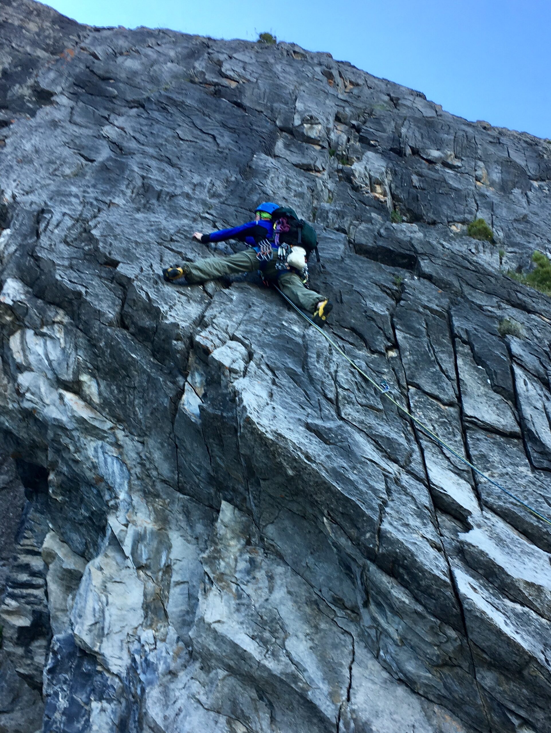
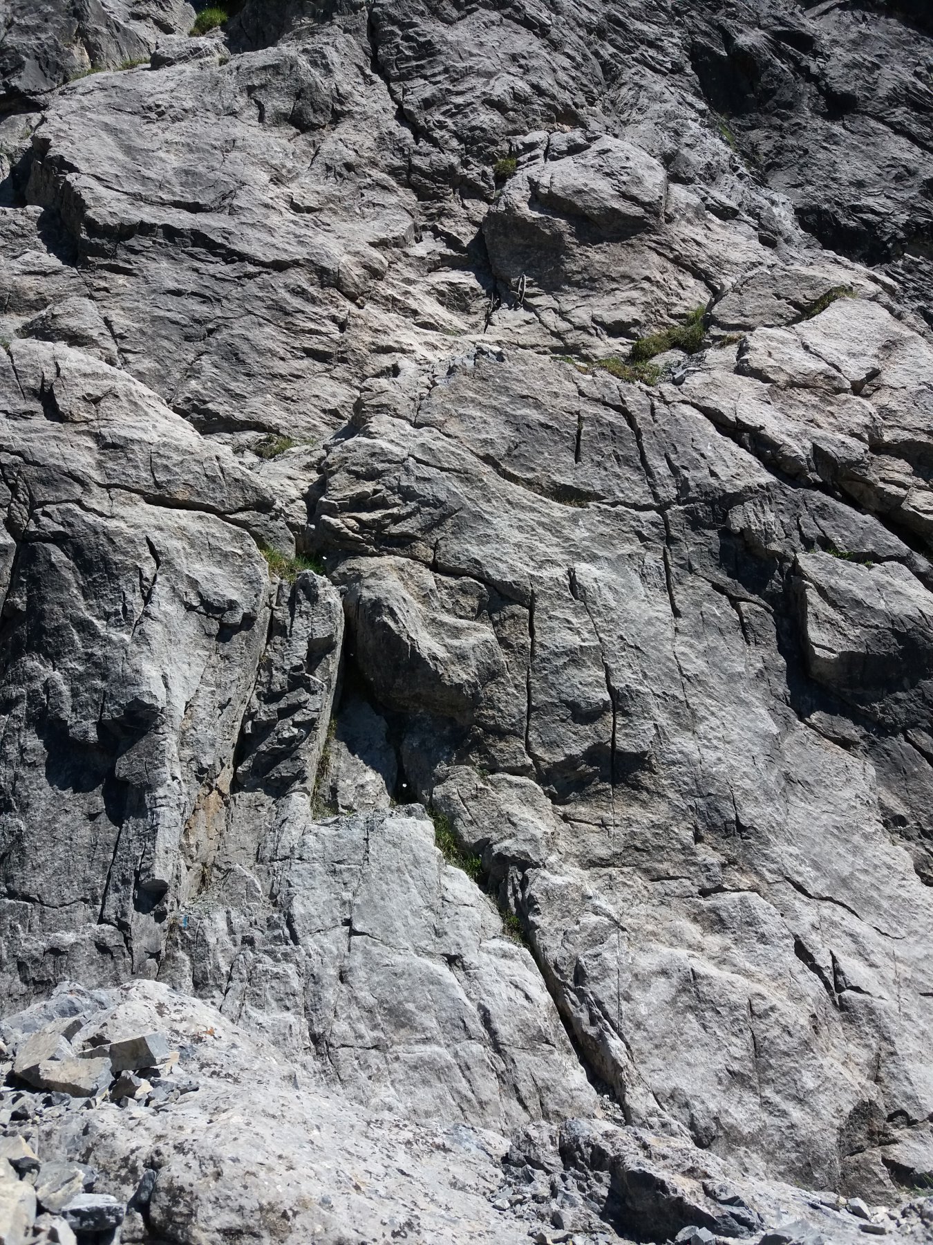
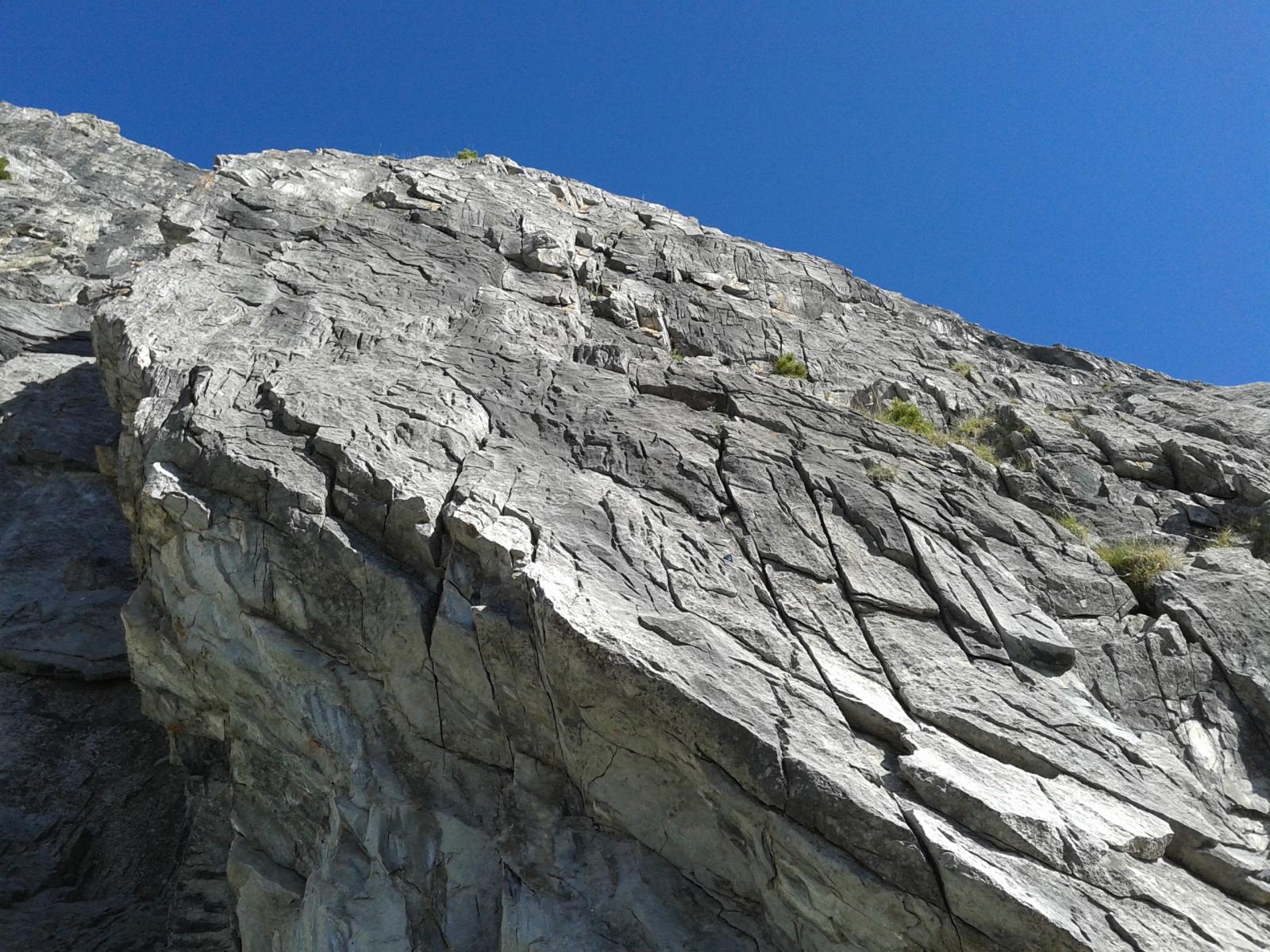
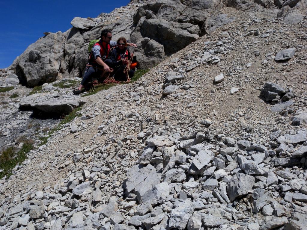
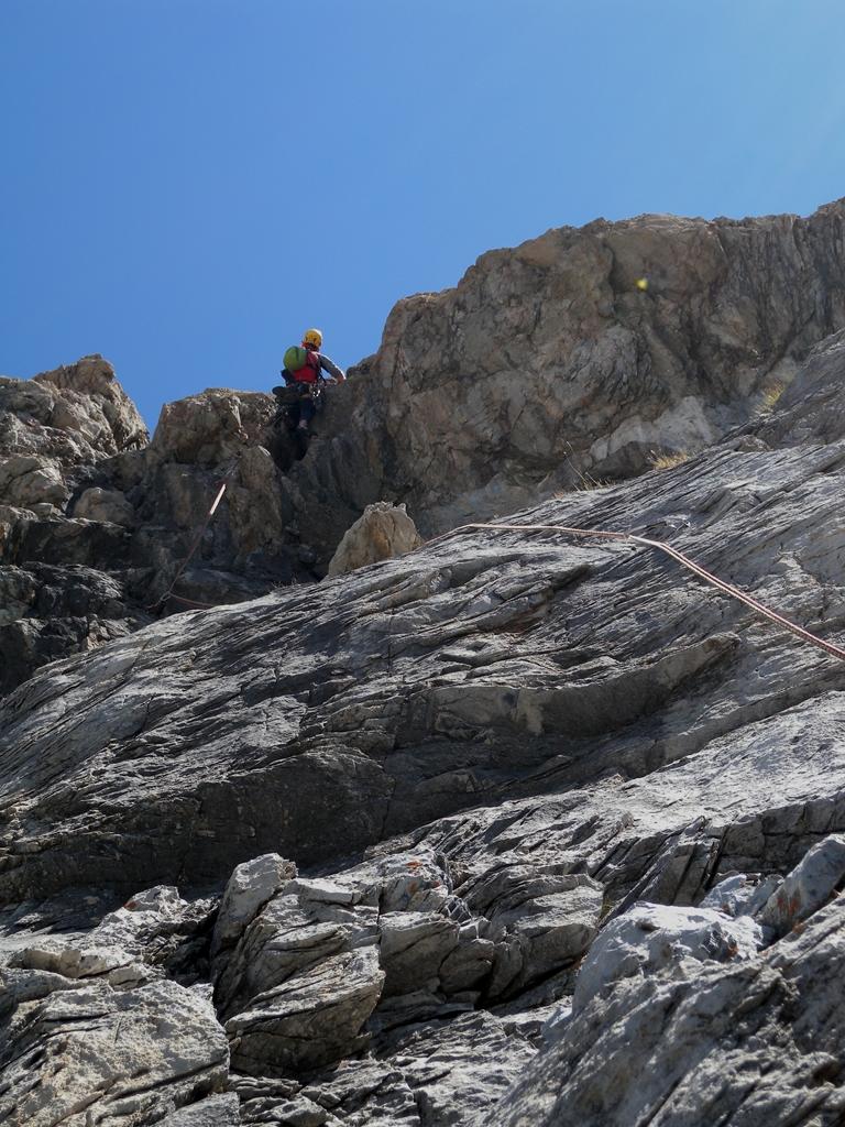
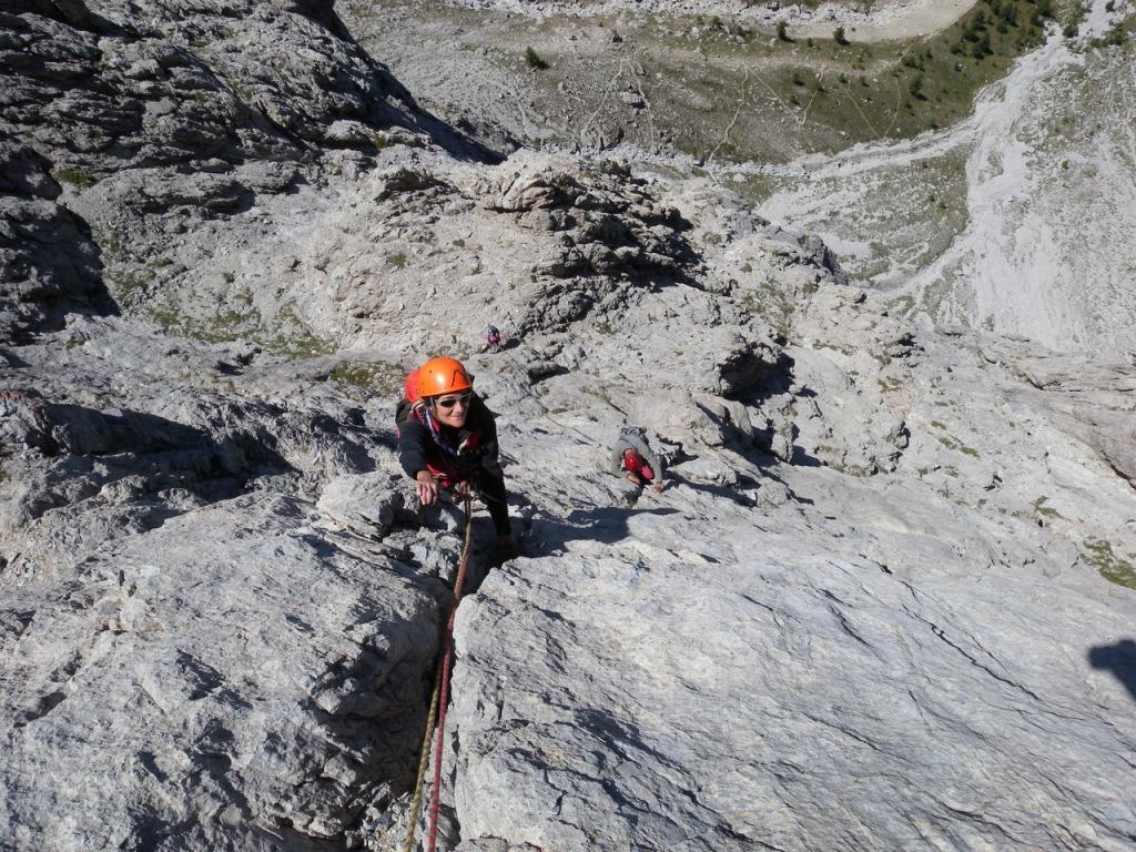
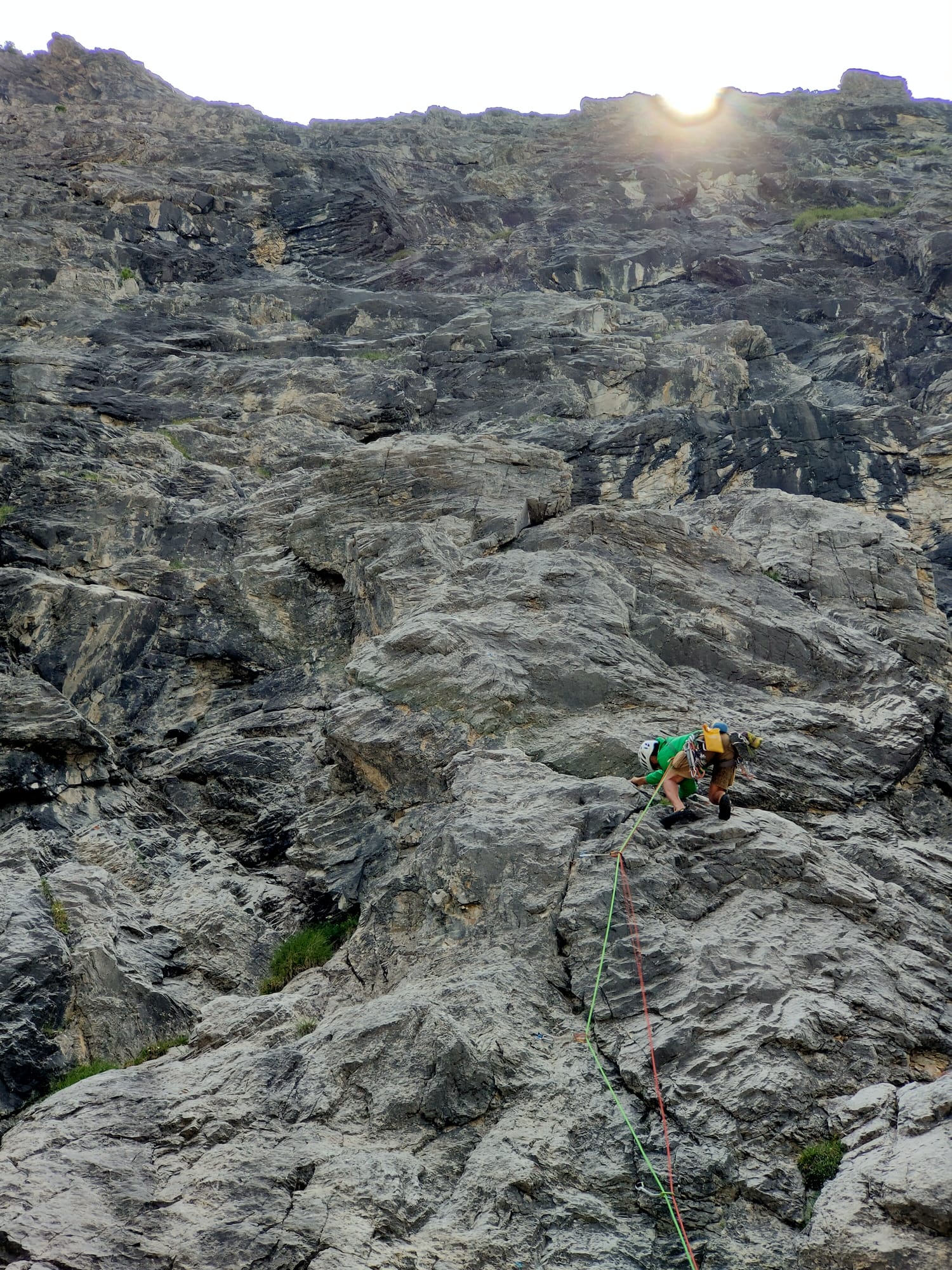
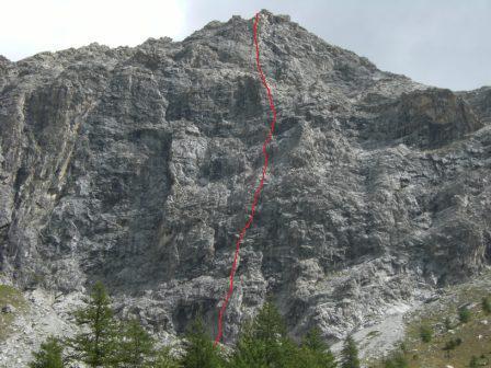
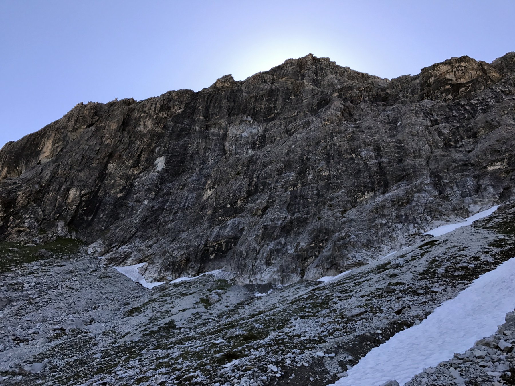
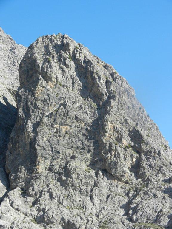
Salita di montagna, anche se attrezzata con spit e chiodi; necessari nuts, friends e cordini; le soste 5 e 6 sono da attrezzare, altre da integrare. L'itinerario inizia in corrispondenza di un evidente pilastro alto 40 m. che si trova in centro parete, nel punto più basso della stessa. Roccia buona nei tratti difficili, mediocre nei tratti più facili.
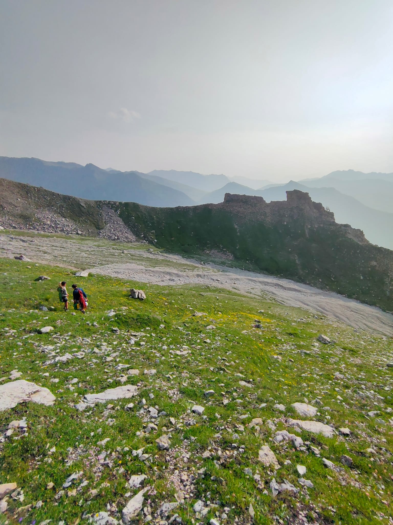
Avvicinamento
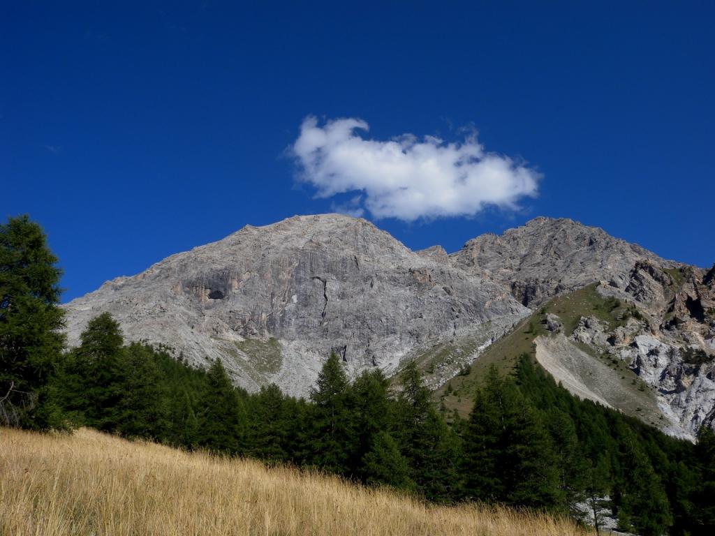
Da Cesana andare oltre Bousson, svoltare a dx e per strada asfaltata raggiungere la frazione di Thures; dal tornante prima di immettersi nelle case prendere una strada in direzione opposta alla frazione che porta al piccolo villaggio di Gorlier ove si può lasciare la macchina.
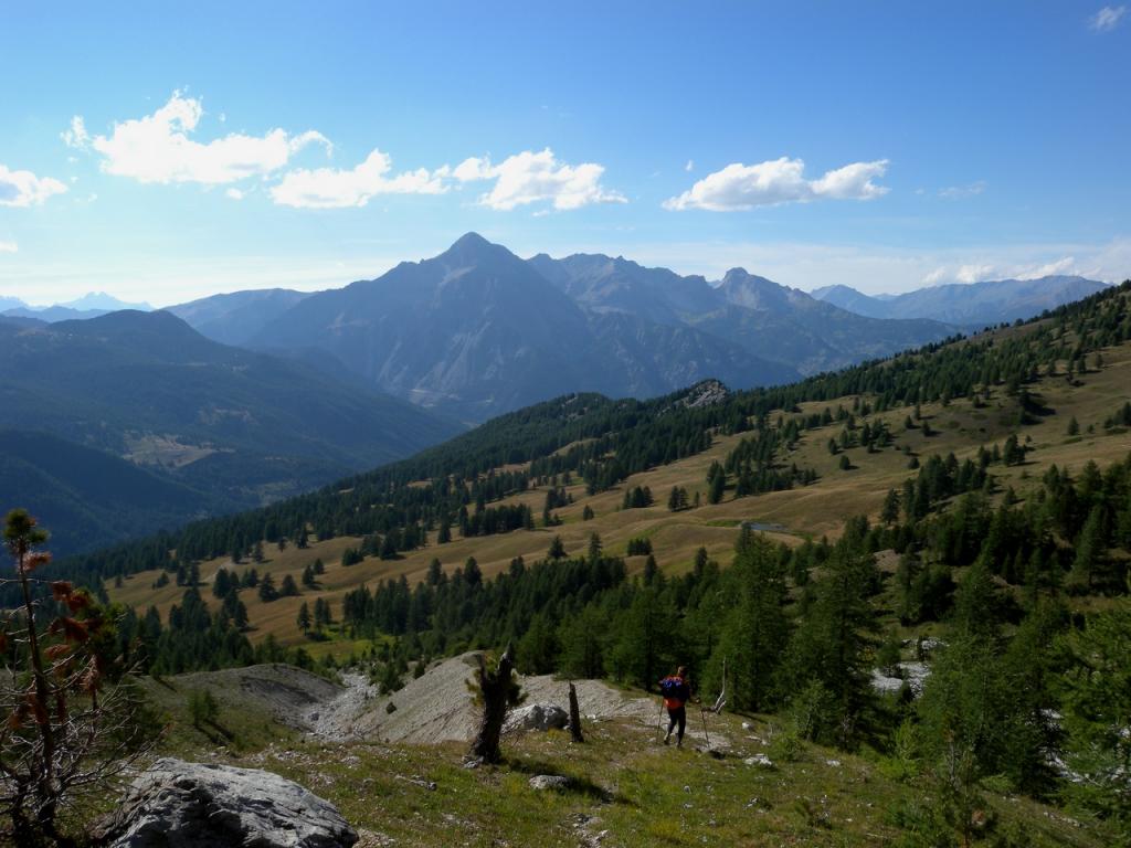
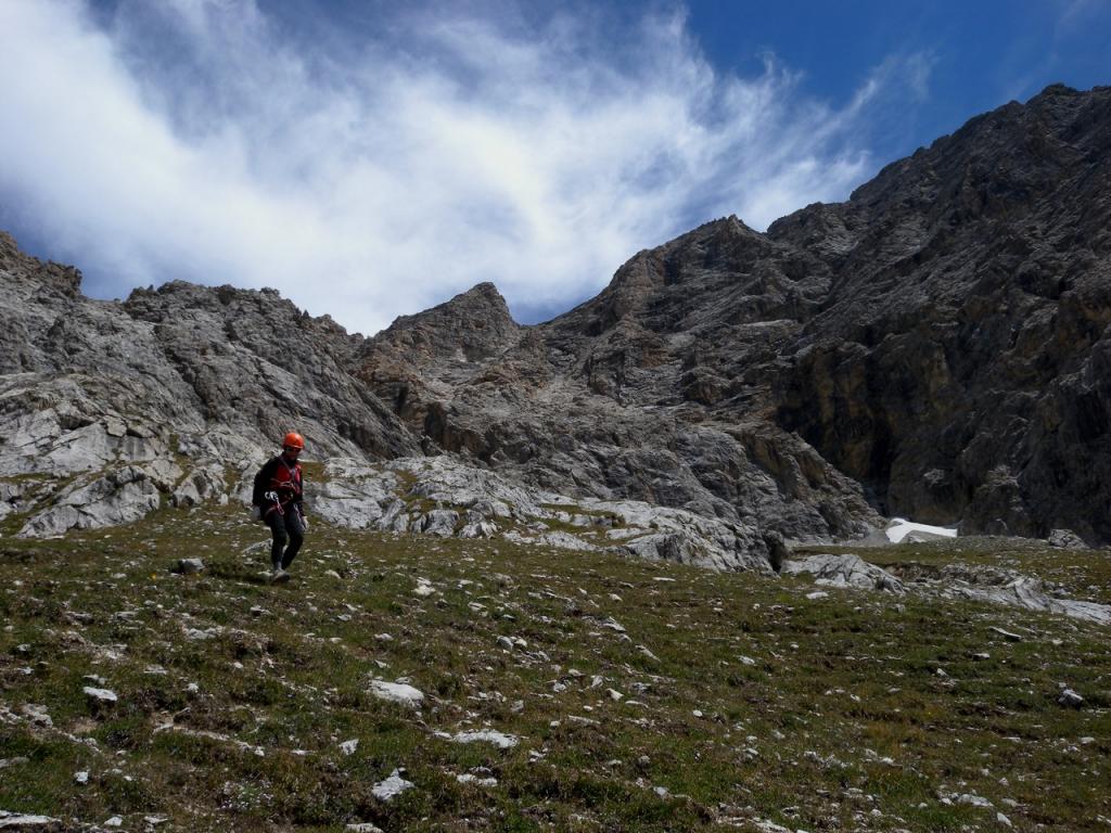
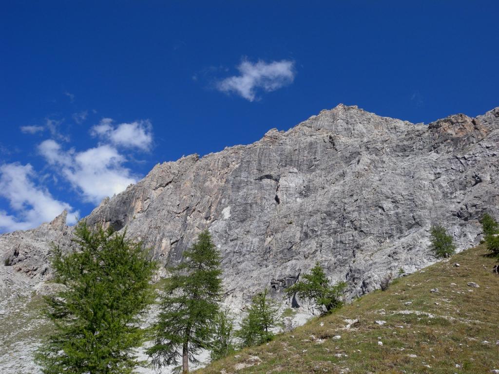
Salire per praterie e radi lariceti sino ad incontrare una carrereccia; seguirla sino ad una diramazione verso dx, verso il canalone che scende dalla parete; risalirlo al meglio per tracce di sentiero e poi ghiaioni sino alla base del pilastro in centro parete ( freccia blu all'attacco)
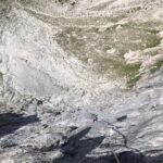
Descrizione
Salire per praterie e radi lariceti sino ad incontrare una carrereccia; seguirla sino ad una diramazione verso dx, verso il canalone che scende dalla parete; risalirlo al meglio per tracce di sentiero e poi ghiaioni sino alla base del pilastro in centro parete ( freccia blu all'attacco)
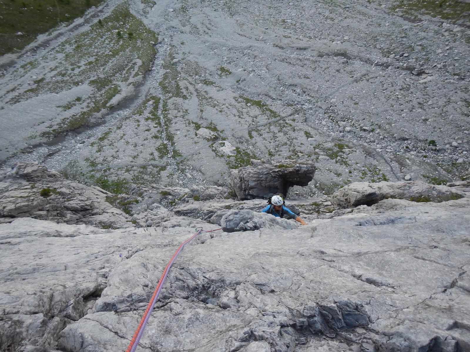
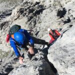
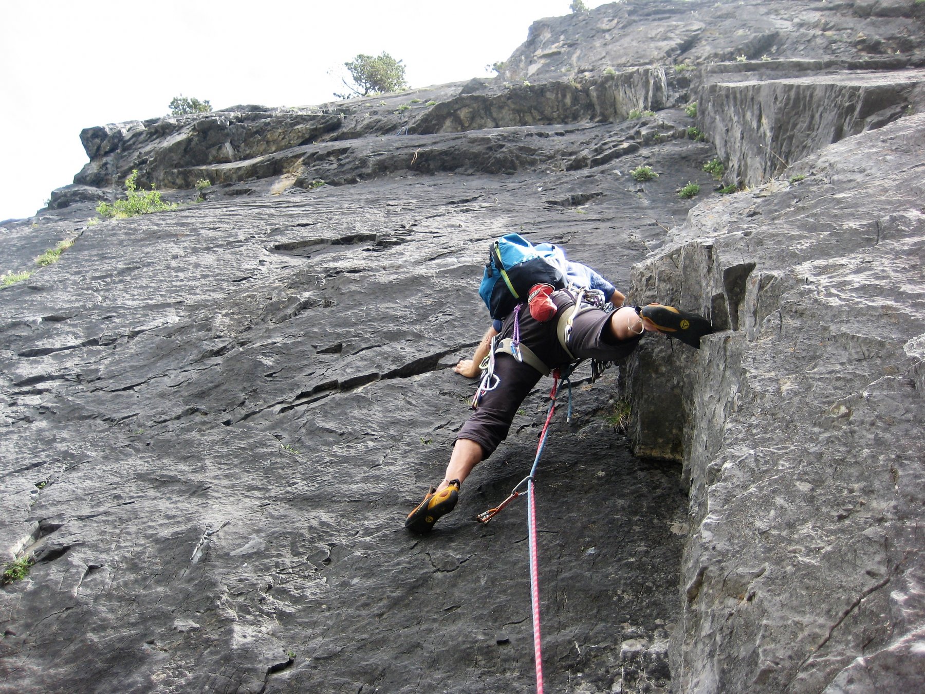
- 1) Serie di belle placche fessurate (40 m. 5+ sostenuto)
- 2) Discesa dell’intaglio e poi risalita di una fessura e di un breve ma difficile risalto (5, 6c/Ao 1p)
- 3) Superare un tratto verticale, poi continuare lungo una fessura fino ad una cengia (5)
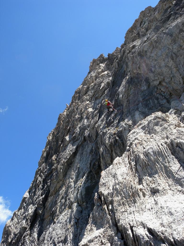
- 4) Salire leggermente a dx, poi direttamente fino ad una cengia (5+)
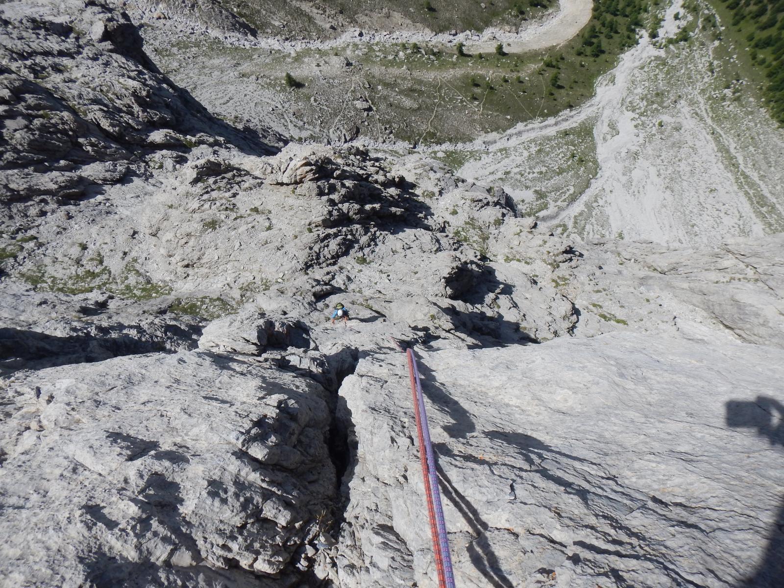
- 5), 6),7) Continuare lungo fessure e placche, poi spostarsi a sin di uno sperone e per una serie di diedri raggiungerne la sommità (4, 4+)
- 8) Superare una bella placca inclinata poi spostarsi a sin sotto un salto verticale e proseguire lungo una fessura/diedro (5+)
- 9) Salire facilmente sino ad una cengia detritica (possibile via di fuga attraversando a dx su cengia friabili verso la via di discesa)
- 10) Superare una lunga fessura che incide un salto triangolare di roccia chiara (5+)
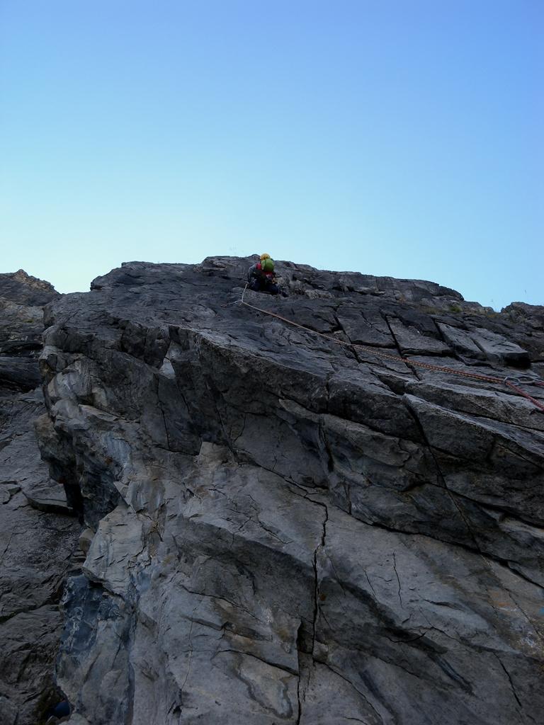
- 11) Attraversare una placca verso sin, risalire un diedro aperto e le placche soprastanti (5, 6a+)
- 12) Proseguire su placche fin sotto il risalto finale che si supera a sin (5+)
Discesa:
Fino alla sosta 4) si può scendere in doppia, oltre può essere problematico; dalla uscita della via prendere a dx (freccia blu) le tracce che portano in un canalino che in breve giunge sul sentiero della via normale ( segni rossi) seguendo il quale in 30 min si ritorna all’attacco della via.
- Bibliografia:
- Roccia d'autore di Fiorenzo Michelin - Altox.it
Nelle vicinanze Mappa
Itinerari
05/09/2022 TO, Cesana Torinese 6c+, 6a+ obbl. Nord-Ovest
Furgon (Monte) – Polvere di Stelle
 100m
100m
14/06/2025 TO, Cesana Torinese 6b+, 6a+ obbl. Nord-Ovest
Furgon (Monte) – Super Furgon
 100m
100m
21/07/2022 TO, Cesana Torinese 6a, 5c obbl. Nord-Ovest
Furgon (Monte) Parete NO – Furgon Plaisir
 150m
150m
24/06/2012 TO, Cesana Torinese 6b+, 6a+ obbl. Nord-Ovest
Furgon (Monte) – Avventura Verticale
 200m
200m
05/07/2026 TO, Cesana Torinese 5b, 5a obbl. Nord
Alberon (Cima) – Voie de l’Amitiè
 2.8Km
2.8Km
18/08/2012 TO, Cesana Torinese 5a, 5a obbl. Est
Rossa di Thuras (Guglia) – Via Normale
 3Km
3Km
28/06/2026 TO, Cesana Torinese 7a, 6a+ obbl. Ovest
Clarì (Punta) – Un Pas Vers le Ciel
 10.3Km
18/07/2026 TO, Cesana Torinese 6a+, 6a obbl. Nord-Ovest
Clarì (Rocca) – Super Calcaire
 10.3Km
20/08/2024 TO, Cesana Torinese 6c+, 6c obbl., a0 Nord-Ovest
Clarì (Rocca), torre est – Calimero nella Grotta dei Ricordi
 10.4Km
20/07/2013 TO, Cesana Torinese 6a+, 5c obbl., a0 Nord-Ovest
Clarì (Rocca) – Placche Nere
10.4Km
Servizi
2.8Km
2.8Km
La Tana degli Orsi B&B
Cesana Torinese
2.8Km
La Crota B&B
Cesana Torinese
3.6Km
Misun La Font Ristorante
Sauze di Cesana
3.7Km
La Fontana del Thures Rifugio
Cesana Torinese
4.6Km
Centro Ristorante
Cesana Torinese
8.4Km
L’Ibarus Rifugio
Cesana Torinese
8.4Km
Piergiorgio Frassati B&B
Cesana Torinese
8.4Km
Casa Cesana Bar
Cesana Torinese
8.5Km