400m
400m



Note
Storico
 650m
700m
700m
750m
900m
1Km
1.2Km
1.4Km
1.5Km
650m
700m
700m
750m
900m
1Km
1.2Km
1.4Km
1.5Km
11 linghezze di corda
Salita di stampo e stile " monte bianco"
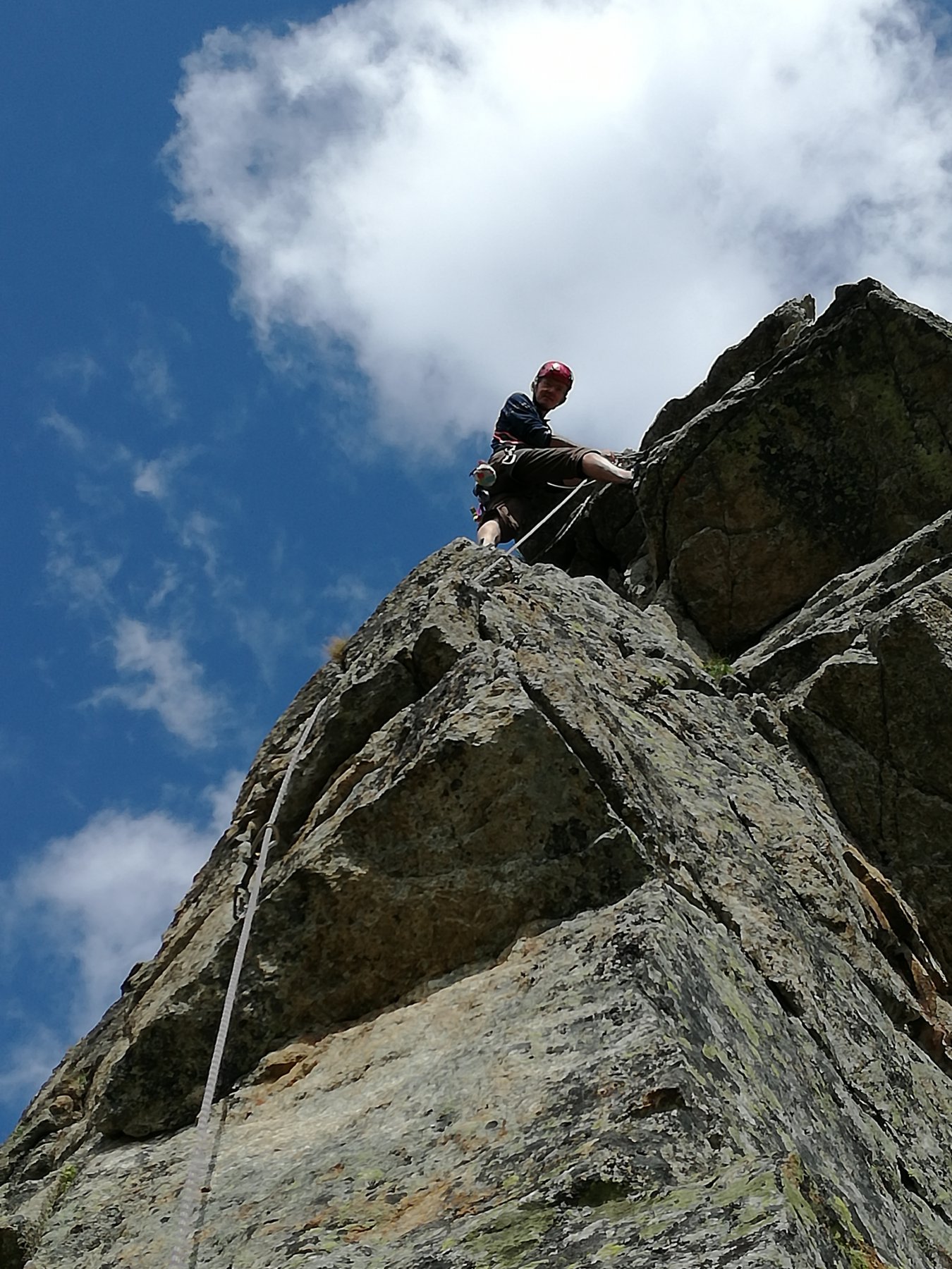
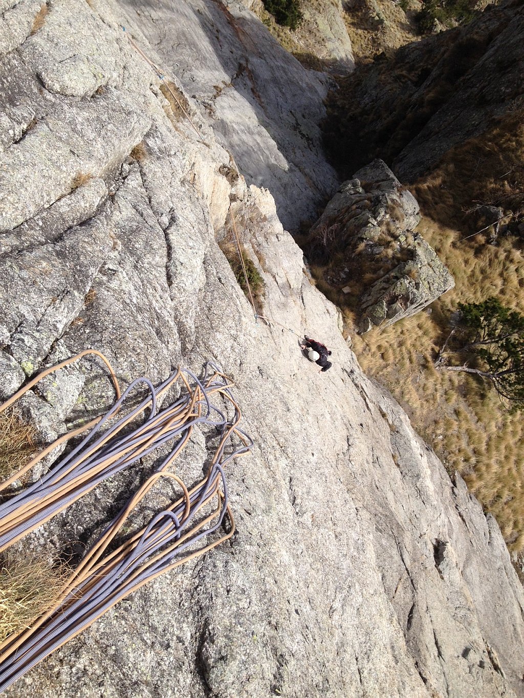
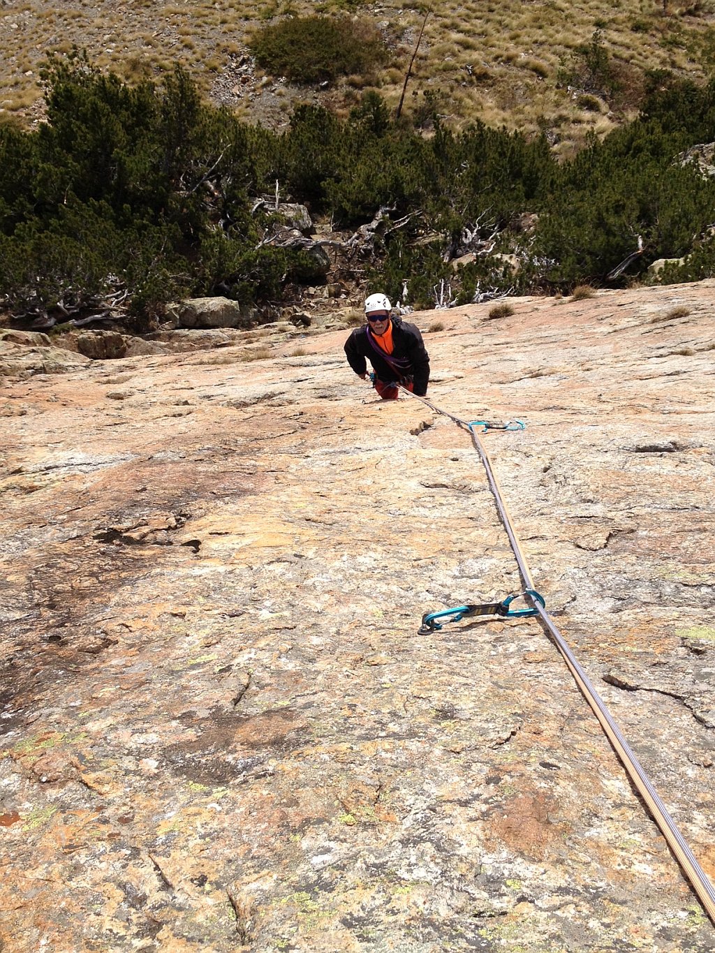
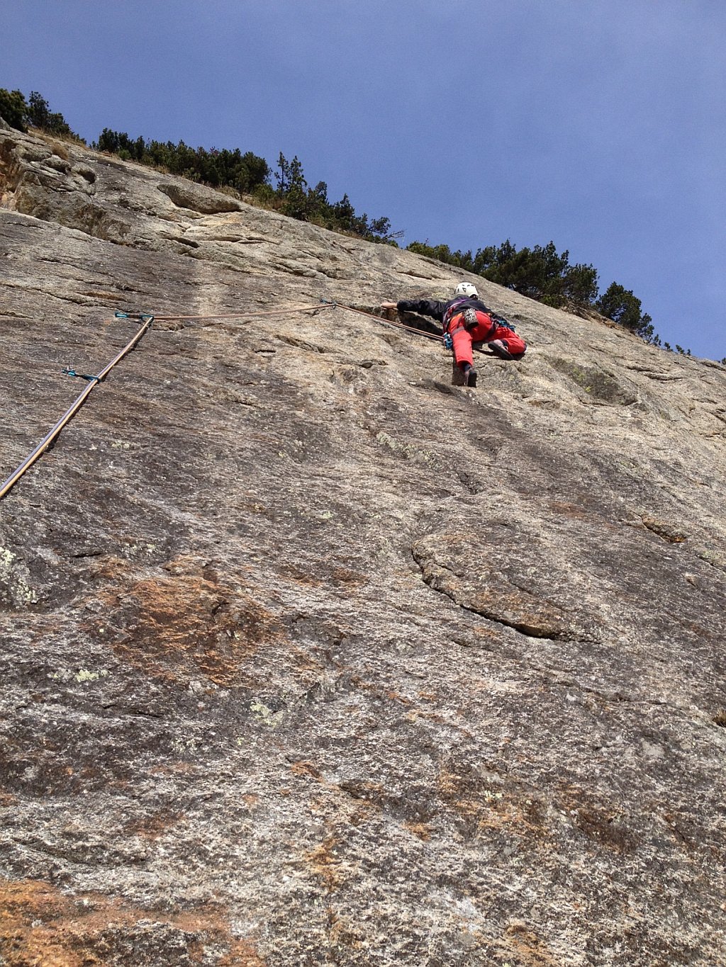
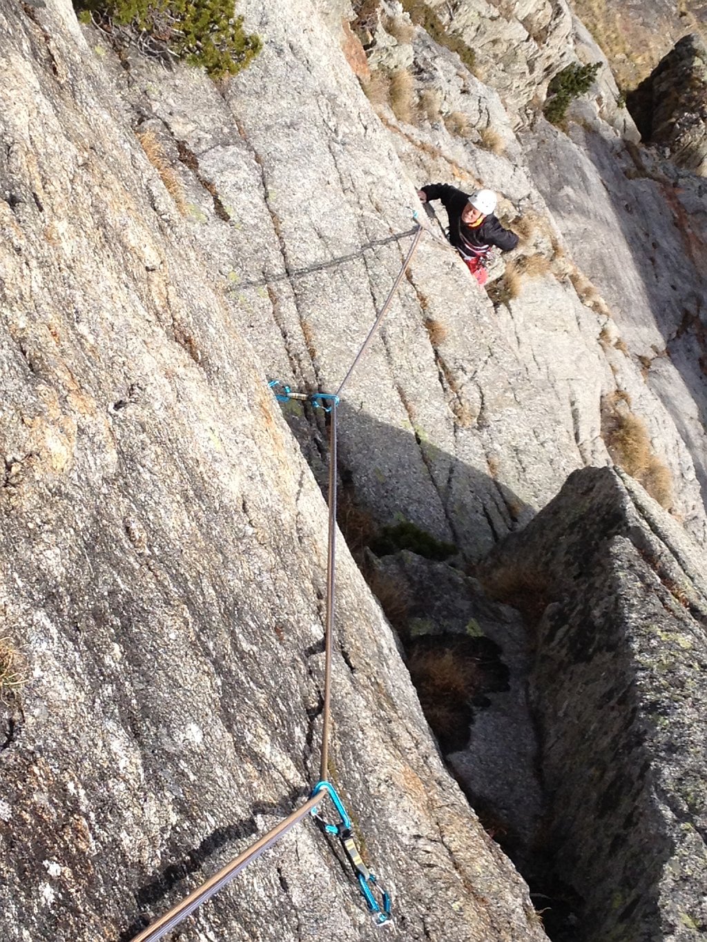
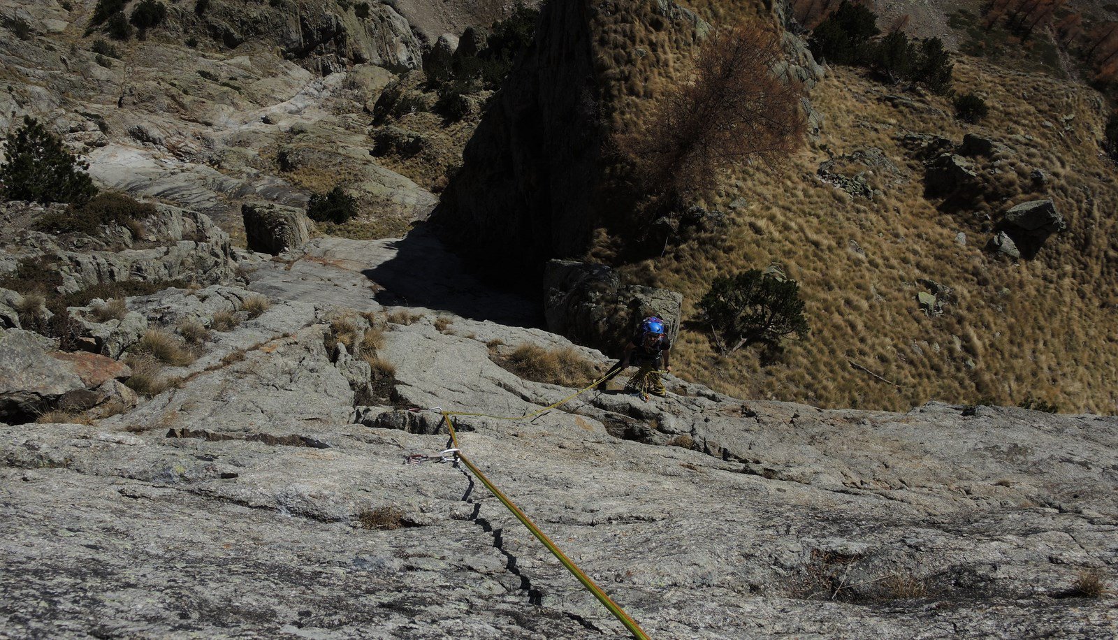
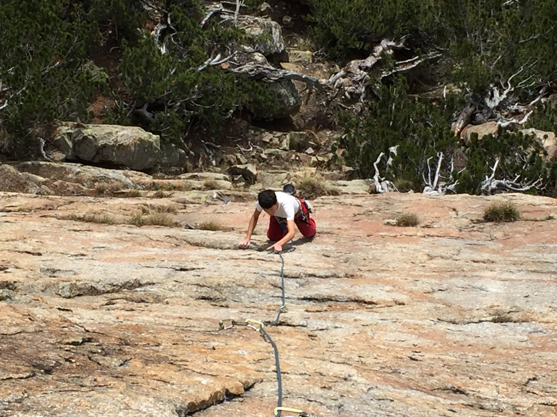
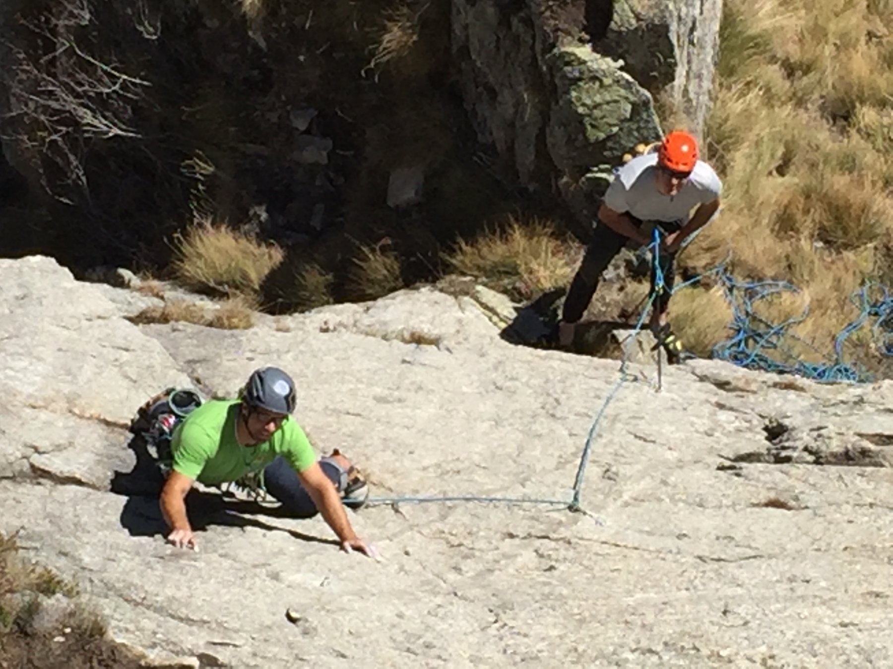
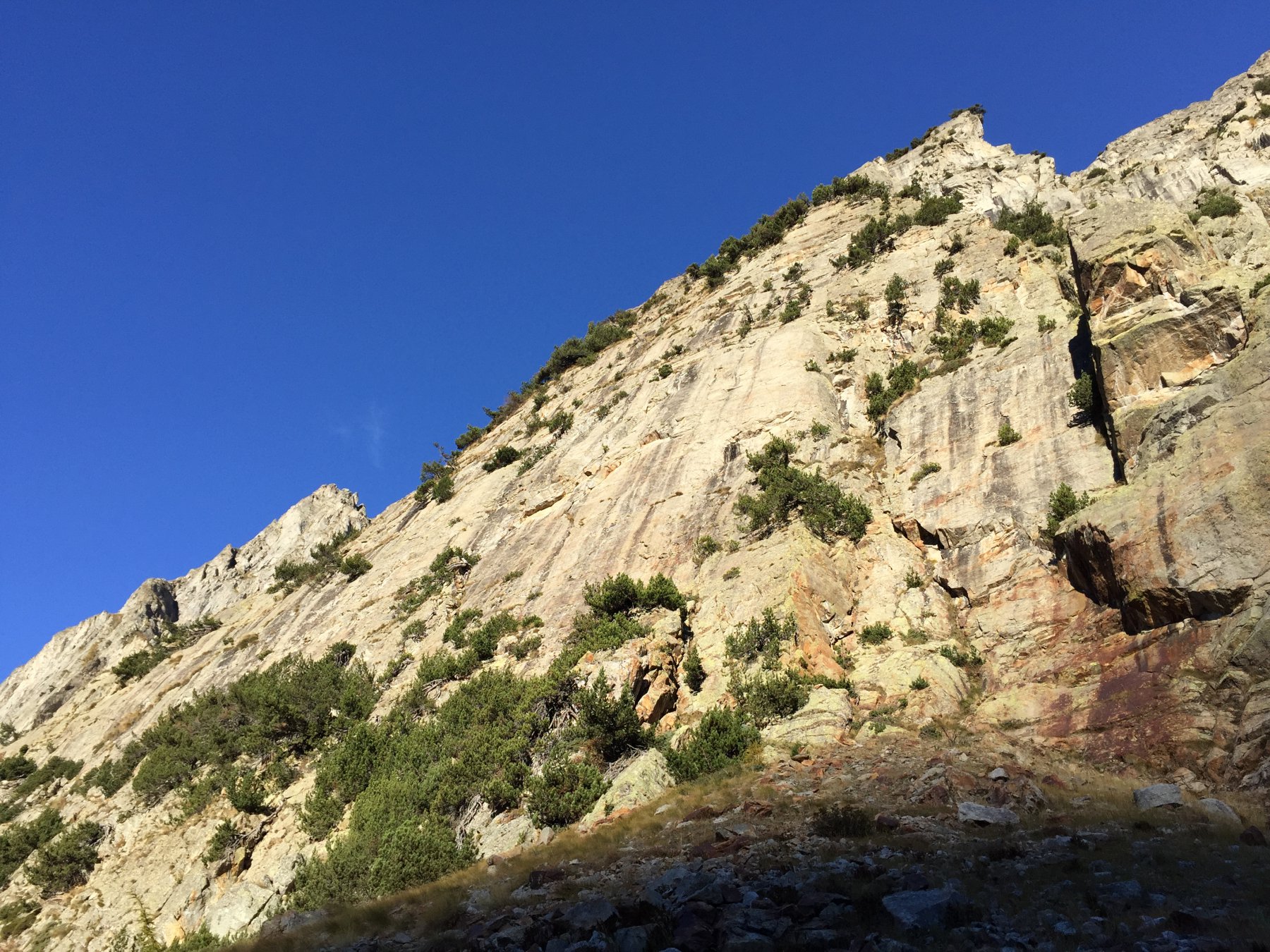
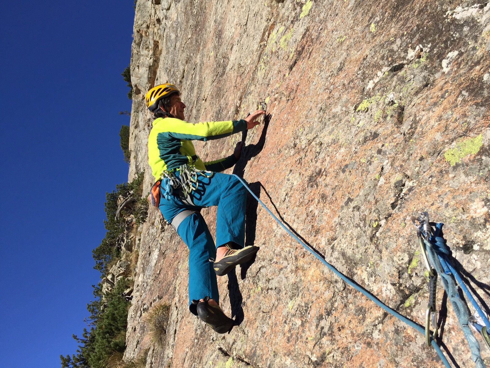
Placche di roccia super con passaggi sempre da ricercare e con chiodatuta non troppo ravvicinata anche dopo la richiodatura e l'aggiunta di oltre 30 punti rispetto all'originale.
Avvicinamento
Salita di stampo e stile " monte bianco"
Placche di roccia super con passaggi sempre da ricercare e con chiodatuta non troppo ravvicinata anche dopo la richiodatura e l'aggiunta di oltre 30 punti rispetto all'originale.
Da Courmayeur percorrere la Val Ferret fino al parcheggio sulla sx prima del ponte che attraversa il torrente a Lavachey .
Lasciata l'auto continuare lungo la strada sterrata per 300m fino a raggiungere una deviazione a sx verso una presa in cemento dell'acquedotto.
Salirvi sopra e a 50 m un ometto sopra un grosso masso indica la direzione.
Seguire gli ometti e la traccia che porta alle placche del frebouze fino a circa metà pendio , attraversare il letto del torrente in secca ( ometti) fino all'attacco(20 min)
Descrizione
Lasciata l'auto continuare lungo la strada sterrata per 300m fino a raggiungere una deviazione a sx verso una presa in cemento dell'acquedotto.
Salirvi sopra e a 50 m un ometto sopra un grosso masso indica la direzione.
Seguire gli ometti e la traccia che porta alle placche del frebouze fino a circa metà pendio , attraversare il letto del torrente in secca ( ometti) fino all'attacco(20 min)
- L1- 4 diedro (fino ad una sosta e traversare a sx per 7 m ) 25m
- L2- 5c placca stupenda a tacche 25m
- L3- 6a+ placca strepitosa verso dx 35m
- L4- 5b 20m
- L5- 6a/6a+ strapiombetto non facile e placca
- L6- 5b trasferimento e piccolo strabiombo aggirabile a sx.
- L7- 5c filo dello spigolo
- L8- 5b
Dalla sosta continuare verso i due alberi fino alla base dell’ultimo muro
- L9- 6a+ Bella placca e uscita aerea
- L10- 6a splendida placca a tacche e diedro
- L11- 5c placca con un pó di licheni per finire
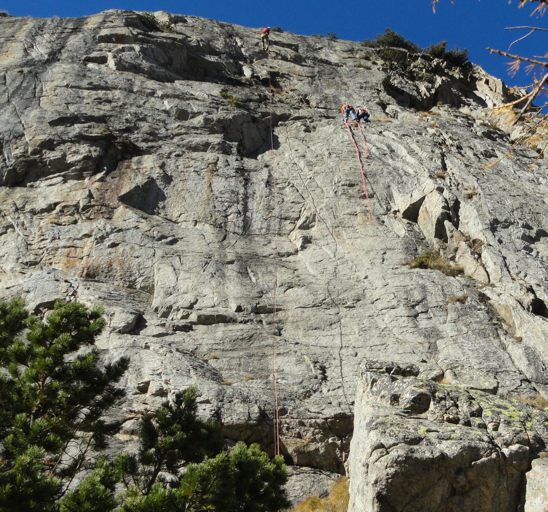
Discesa: in corda doppia sufficiente una corda da 70. Le ultime due ( quelle del 2 e 3 tiro) sono spostate piu a dx della linea di salita
Ezio Marlier -Patrick Gabarrou per i primi 6 tiri 1998 richiodati e ripuliti con Andrea Carpo.
Beppe Villa - Ezio Marlier il 20/10/2015
Qualche metro a sx ci sono soste molto vecchie a spit e risalgono alla prima via tracciata su questa placca ad opera di Arnaud Clavel
Beppe Villa - Ezio Marlier il 20/10/2015
Qualche metro a sx ci sono soste molto vecchie a spit e risalgono alla prima via tracciata su questa placca ad opera di Arnaud Clavel
Nelle vicinanze Mappa
Itinerari
31/08/2025 AO, Courmayeur 6b+, 6a obbl. Sud-Est
Eveque (Aiguille de l’), Contrafforti – Le Français Inconnue
 650m
650m
21/08/2024 AO, Courmayeur 6a+, 5c obbl. Sud
Eveque (Aiguille de l’), Contrafforti – Kyra
 700m
700m
08/10/2023 AO, Courmayeur 6a+, 5c obbl. Sud
Eveque (Aiguille de l’), contrafforti – Dio Perdona, Io No
 700m
700m
05/10/2025 AO, Courmayeur 6b, 6a obbl. Sud
Eveque (Aiguille de l’), Contrafforti – Imbumba
 750m
750m
09/08/2011 AO, Courmayeur 7a, 6c obbl. Sud
Eveque (Aiguille de l’), pilastro – Straordinaria
 900m
900m
01/06/2026 AO, Courmayeur 6a, 5c obbl. Sud
Eveque (Aiguille de l’), contrafforti – Baba Jaga
 1Km
1Km
12/06/2026 AO, Courmayeur 6a+, 5b obbl. Sud-Est
Eveque (Aiguille de l’), contrafforti – Nuova Scena
 1.2Km
1.2Km
27/06/2026 AO, Courmayeur 6a, 5c obbl. Sud-Est
Eveque (Aiguille de l’), zoccolo – La Memoire du Glacier
 1.4Km
1.4Km
09/06/2024 AO, Courmayeur 6b+, 6a+ obbl. Sud
Eveque (Aiguille de l’), contrafforti – Lockdown
 1.5Km
1.5Km
14/06/2020 AO, Courmayeur 7b+, 7a obbl. Sud-Est
Eveque (Aiguille de l’), pilastro – Alpenliebe
1.5Km