3Km
3Km
Note
 50m
50m
50m
50m
50m
50m
50m
50m
50m
50m
50m
50m
50m
50m
50m
50m
50m
50m
50m
50m
3Km
3.1Km
3.2Km
4.5Km
5.2Km
7.2Km
8.7Km
8.8Km
9.1Km
9.2Km
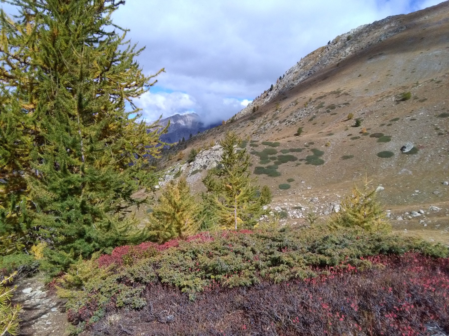
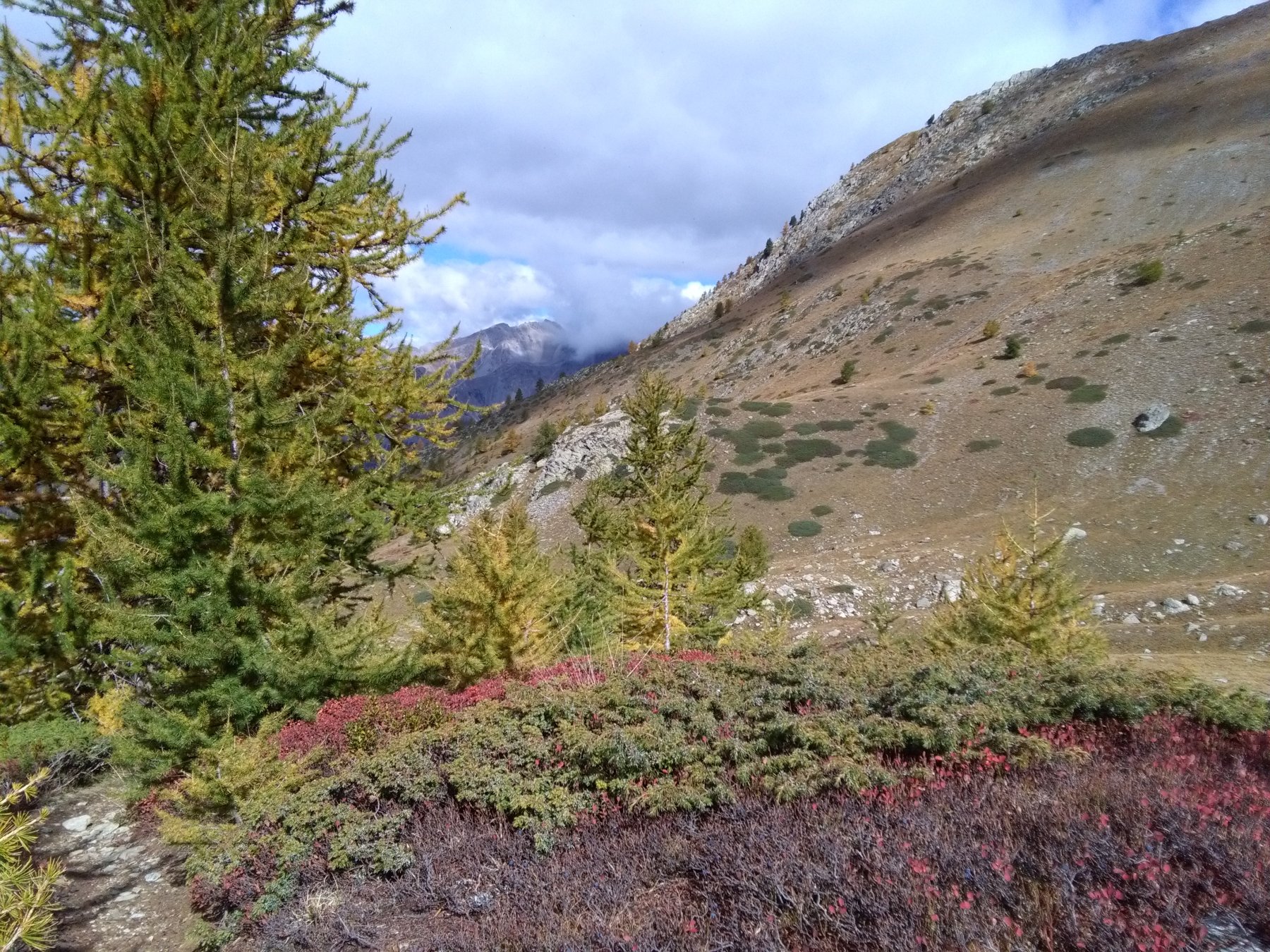
Bel giro ad anello, scorrevole, non troppo lungo, con una veloce discesa dal colle di Stau e senza difficoltà. Belle vedute sia sui laghi di Vens sia sulla costiera Blancias - Clai Superiour.
Avvicinamento
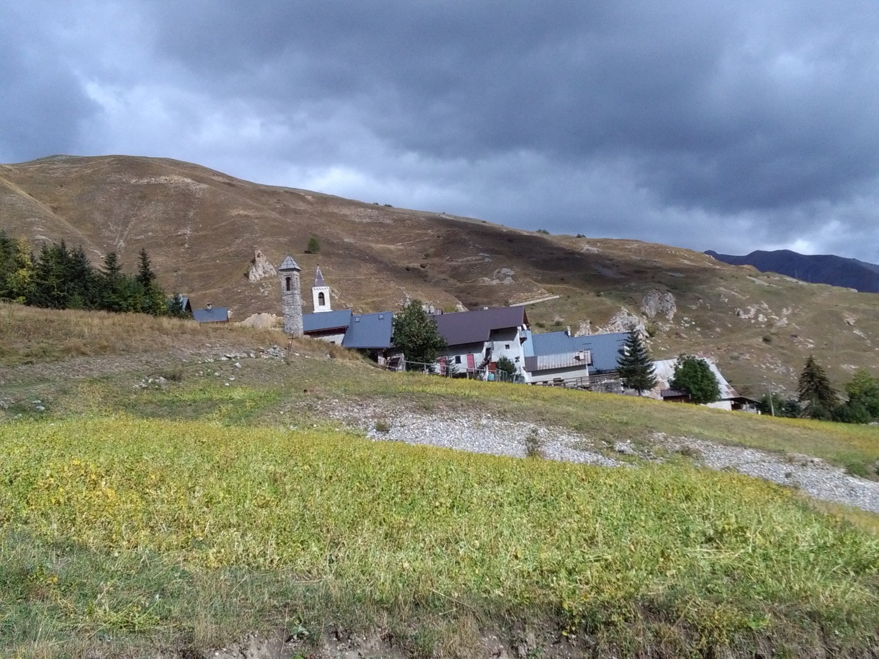
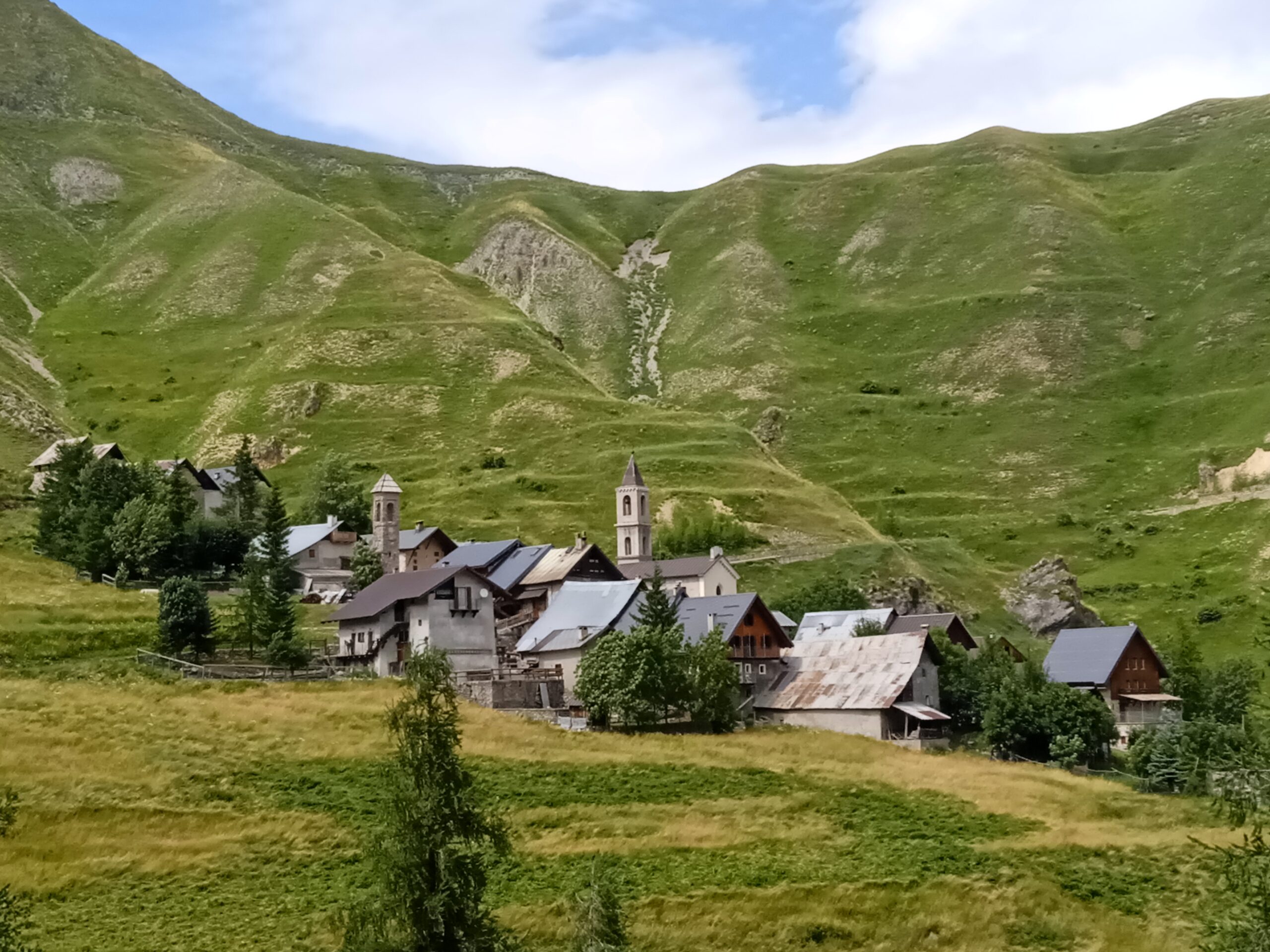
Da Cuneo/Borgo San Dalmazzo, percorrere tutta la valle Stura sino ad incrociare, a Bersezio, la rotabile che a sinistra in 6 km porta a Ferrere (1888 m; parcheggio appena prima dell'abitato)
Descrizione
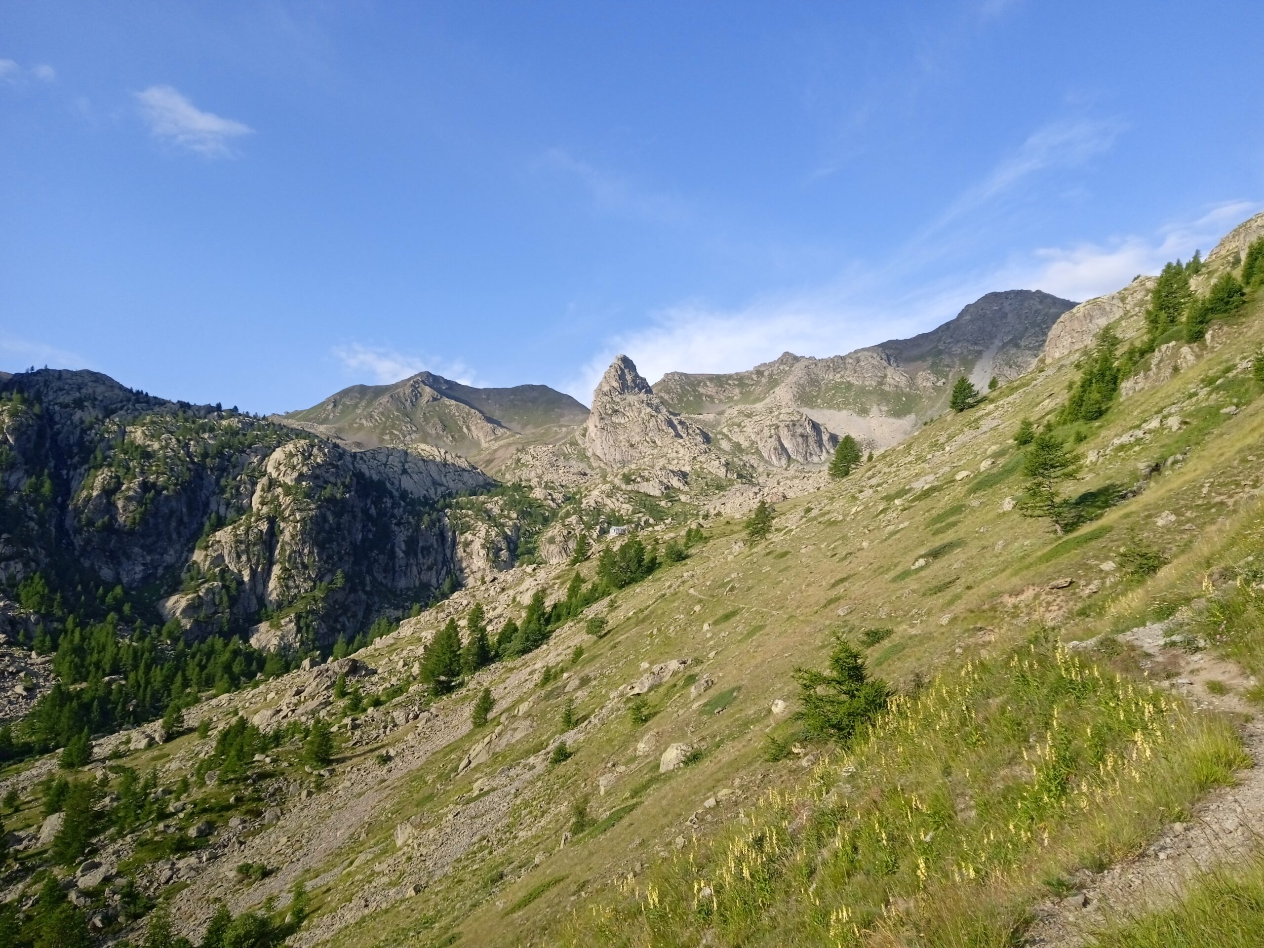
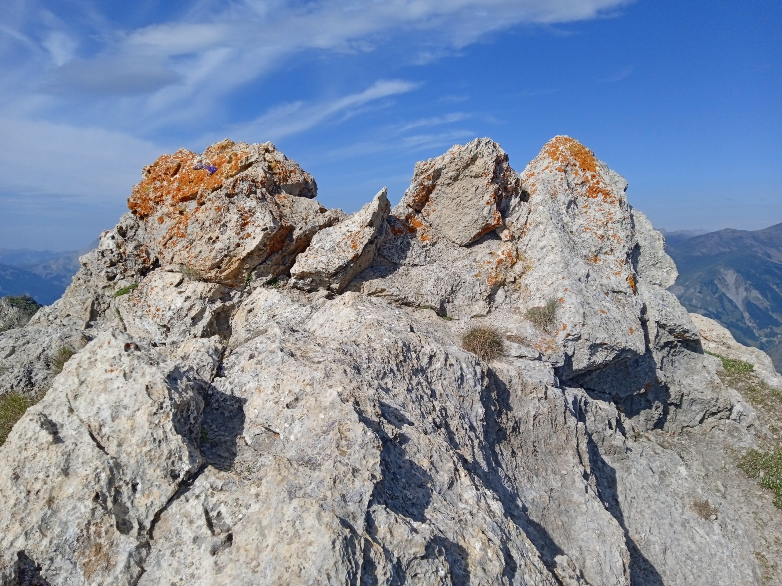
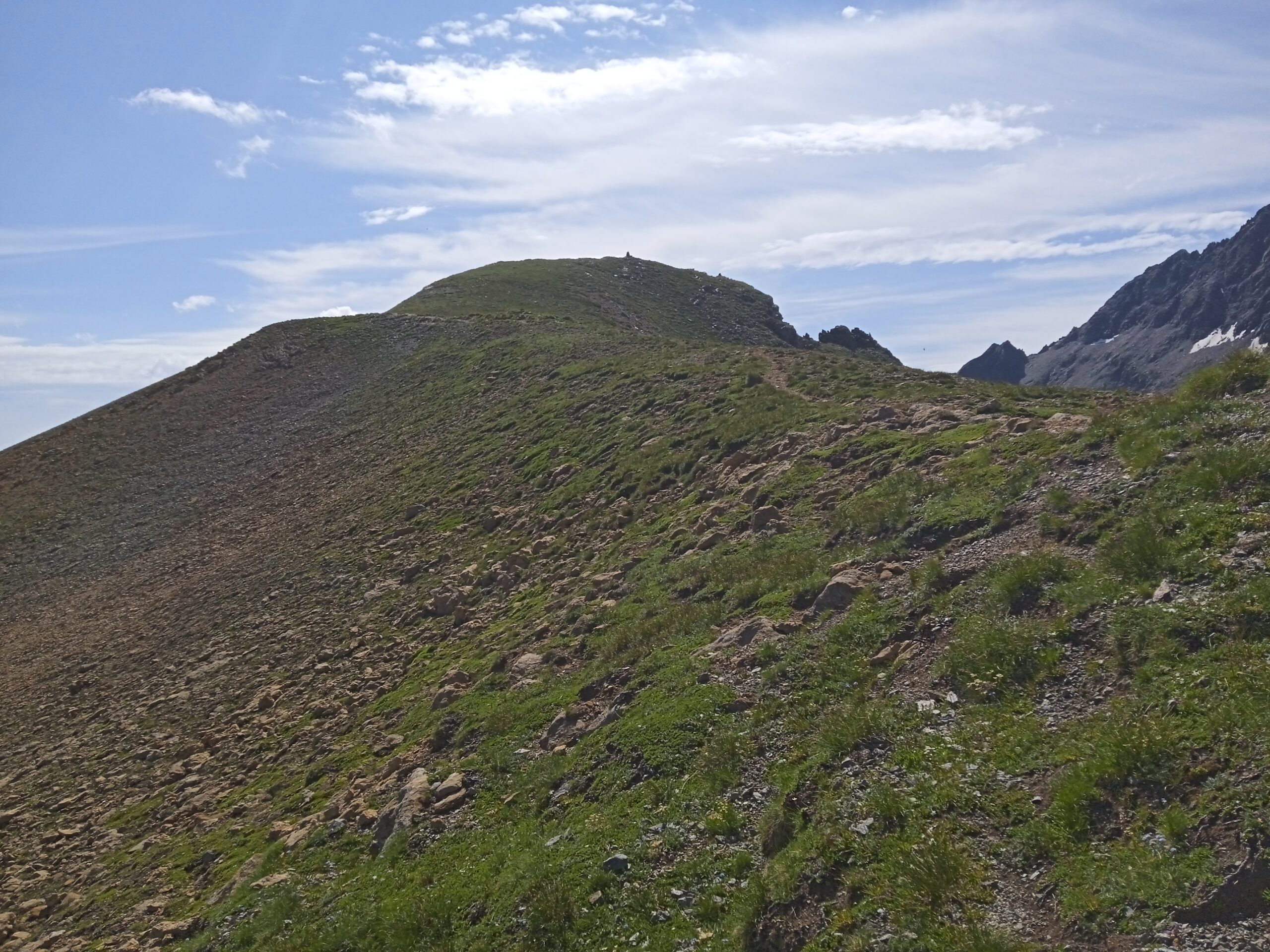
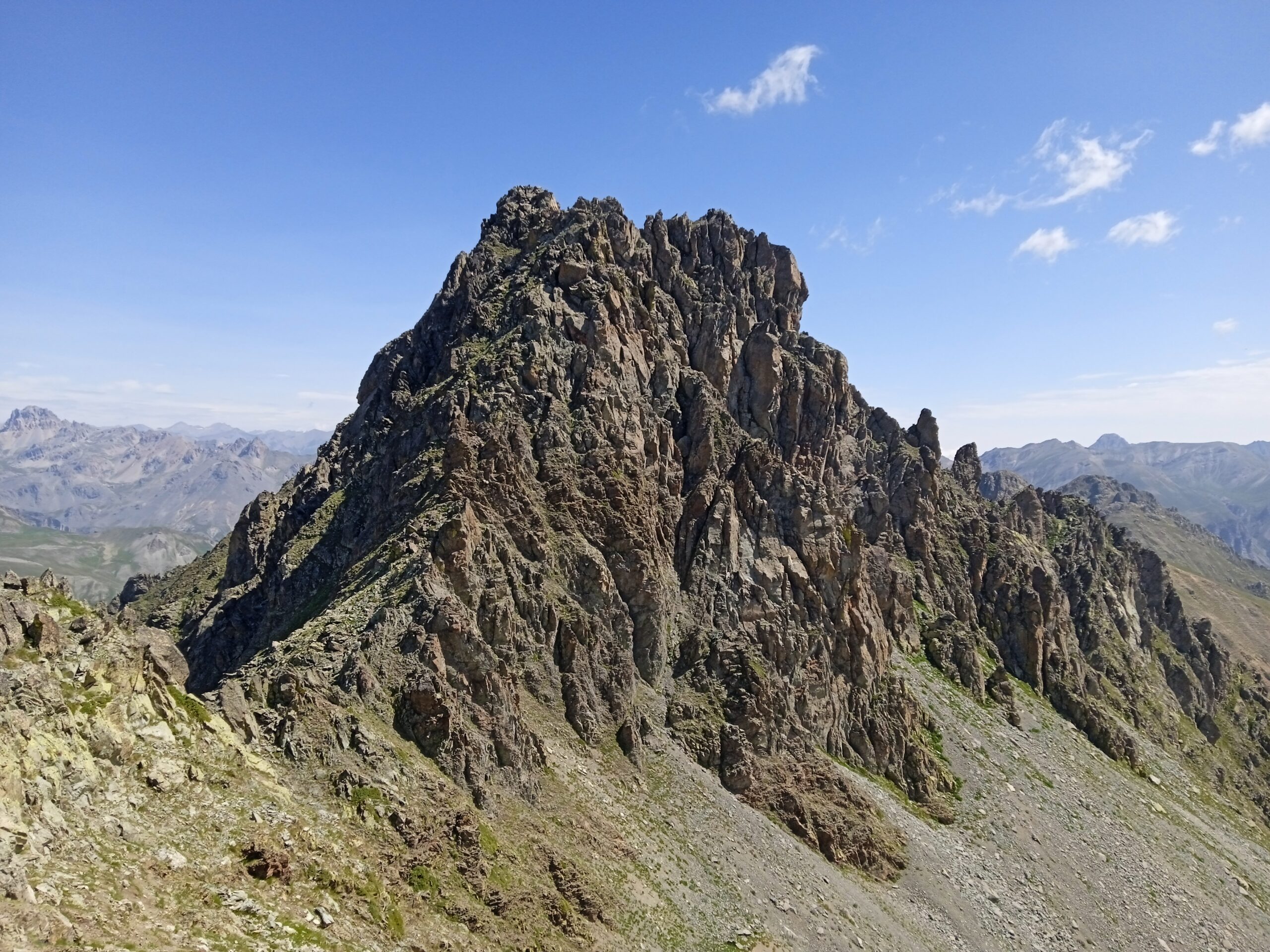
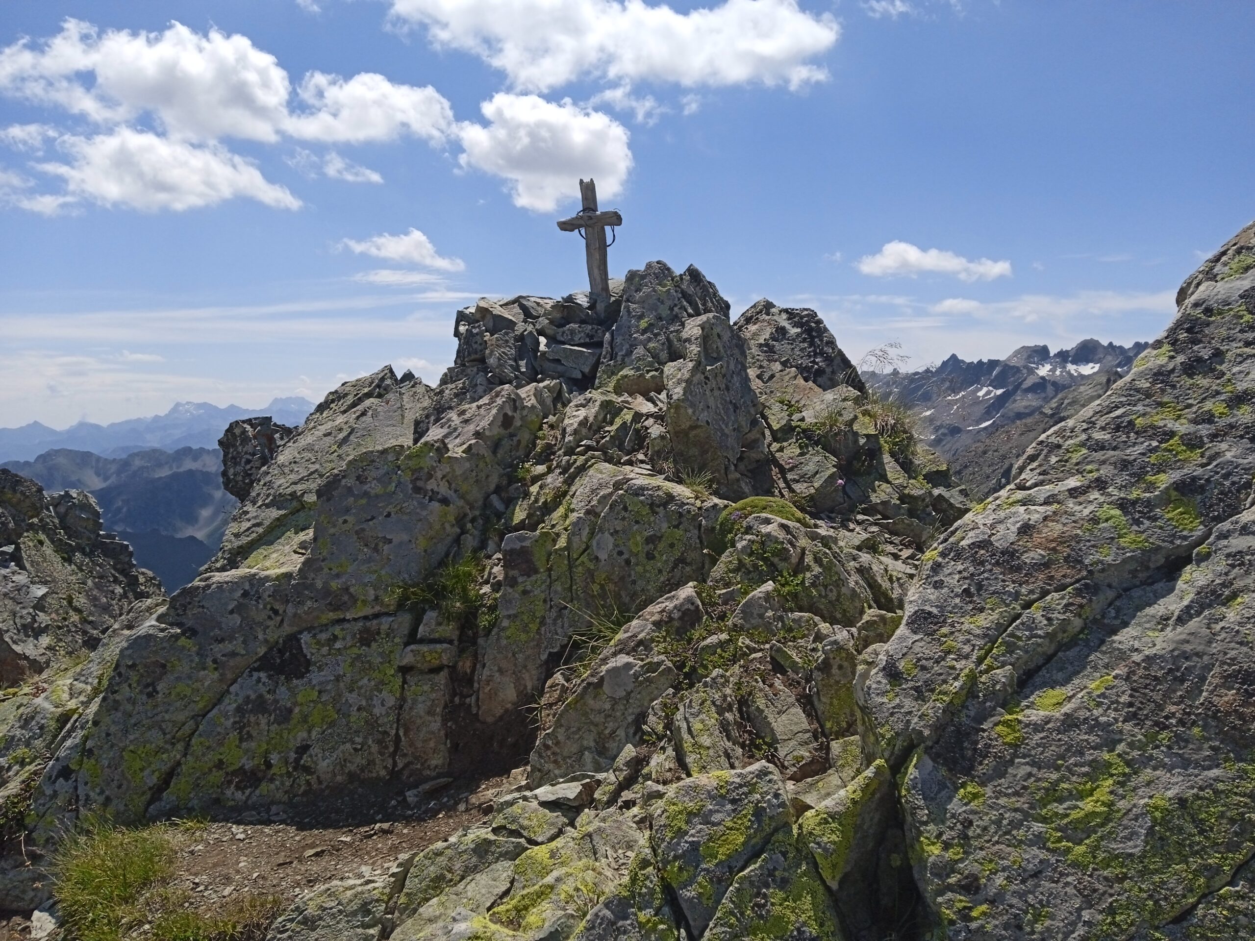
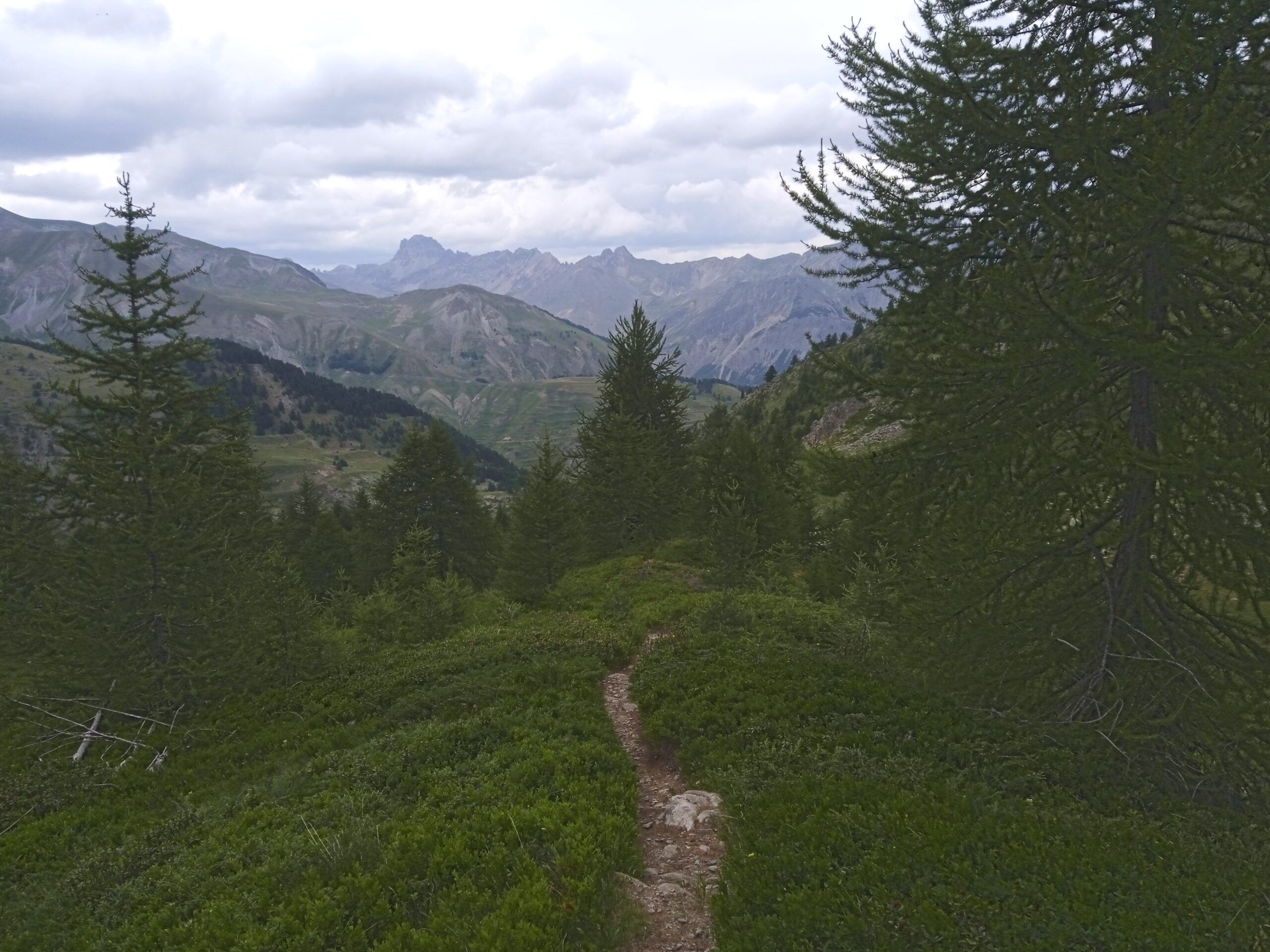
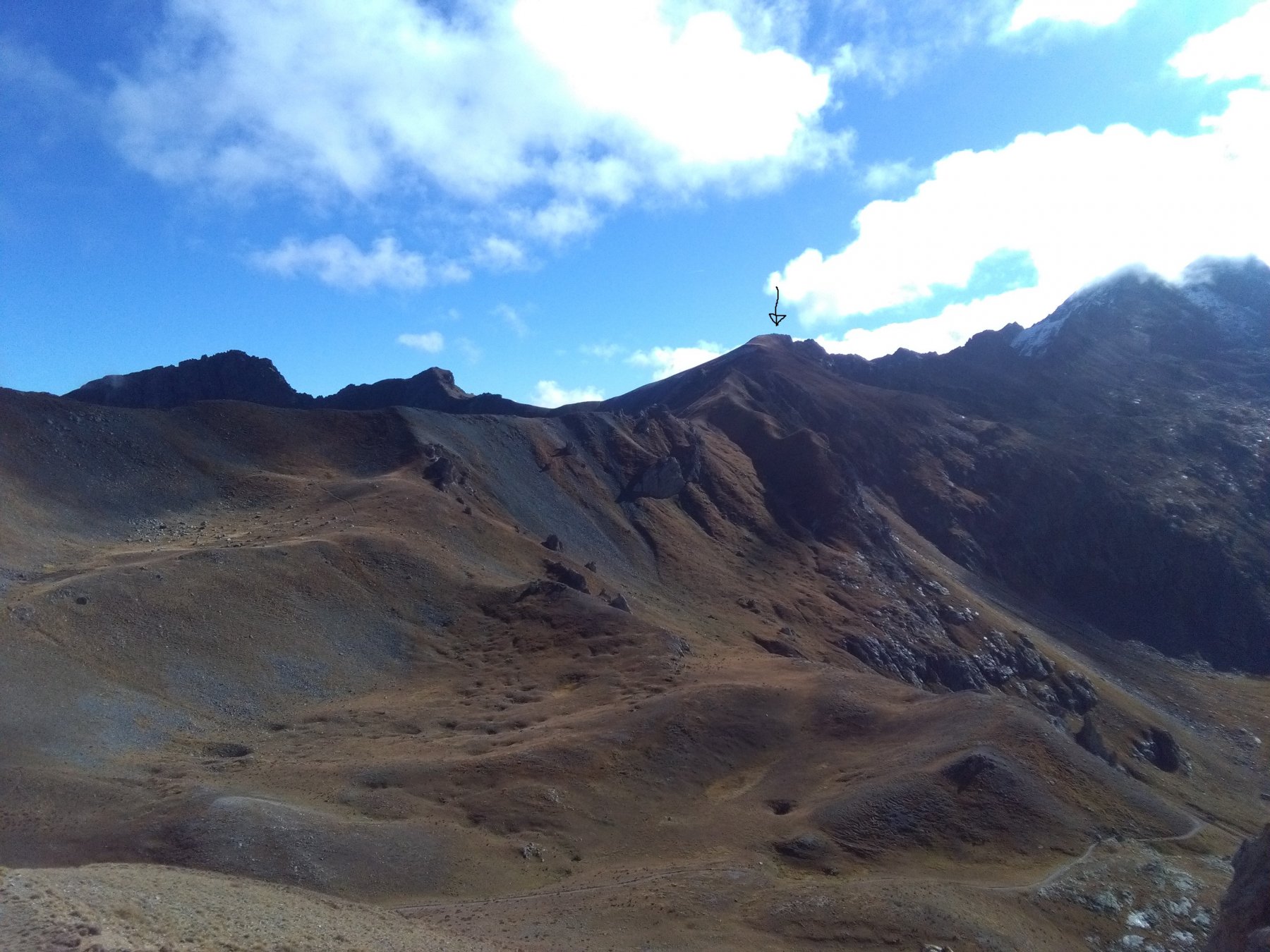
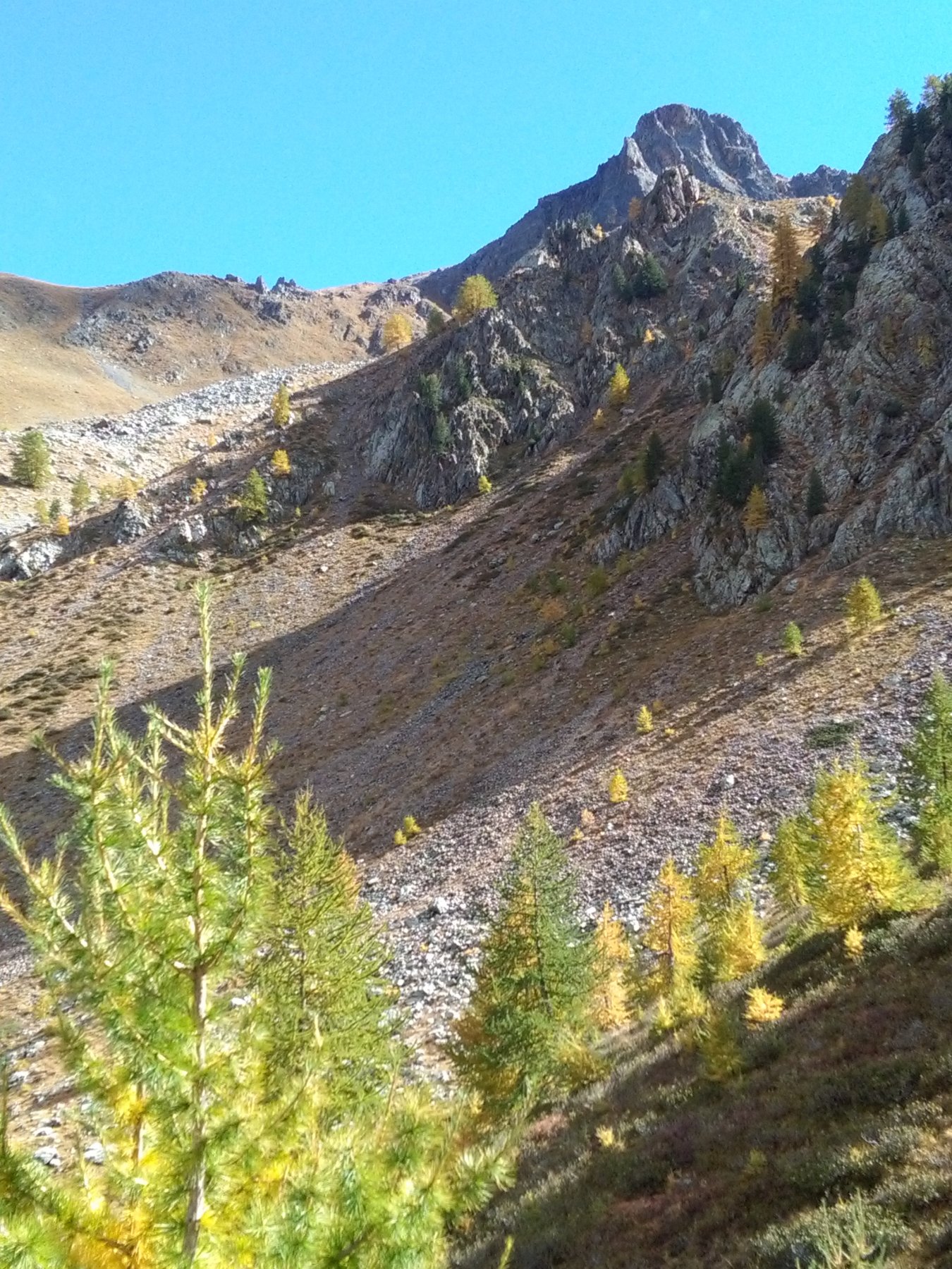
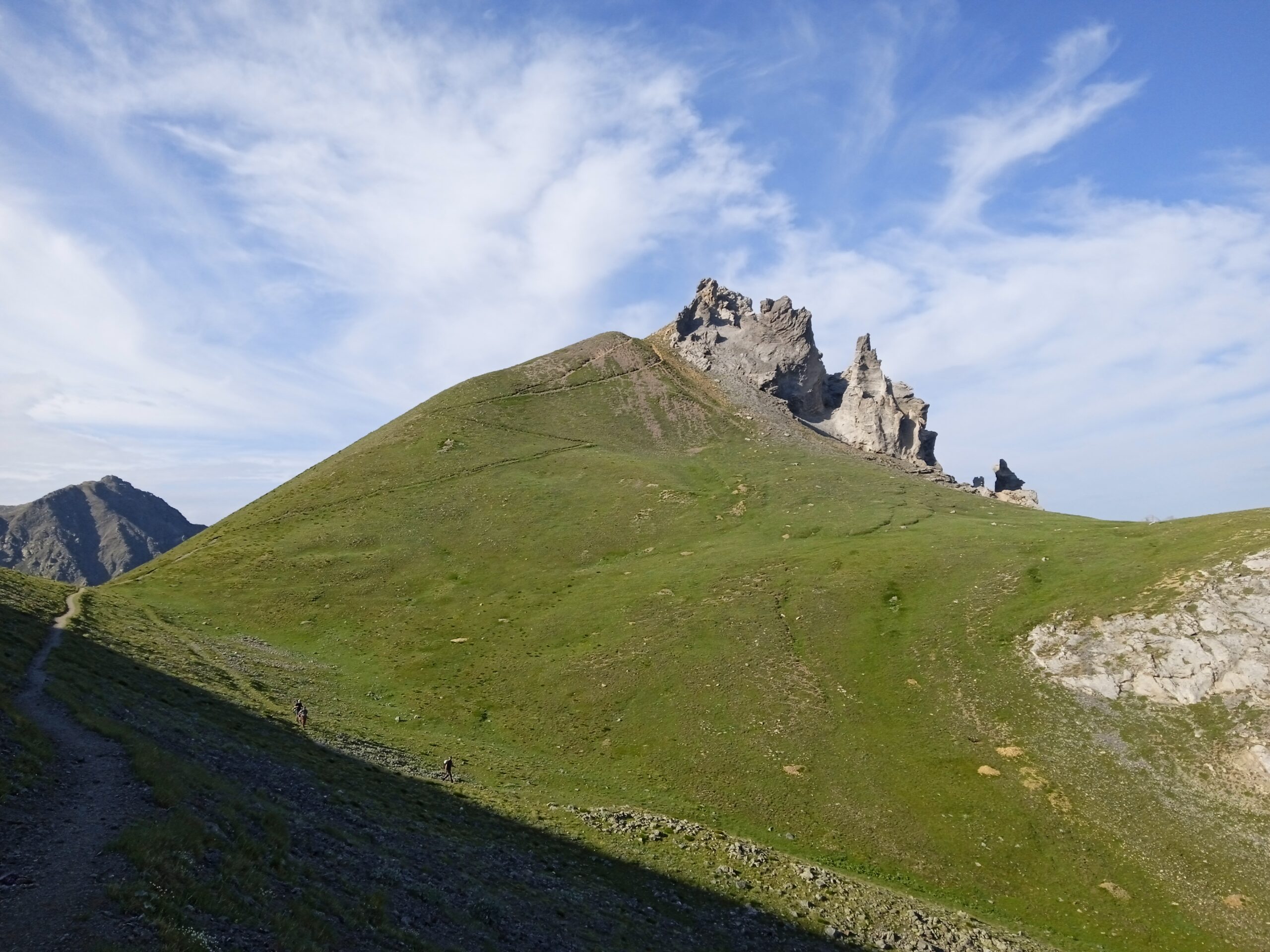
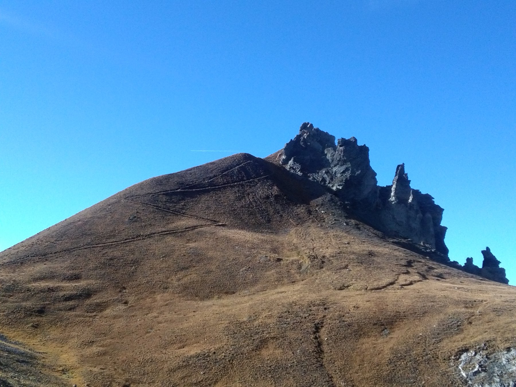
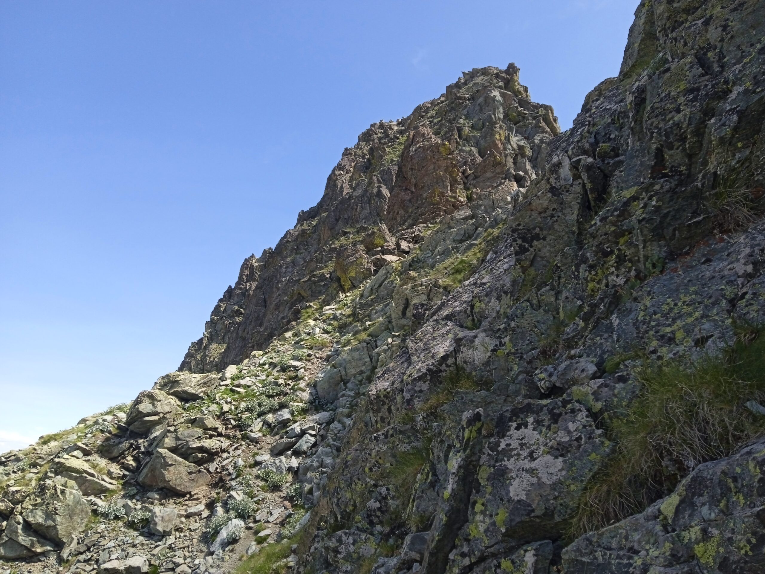
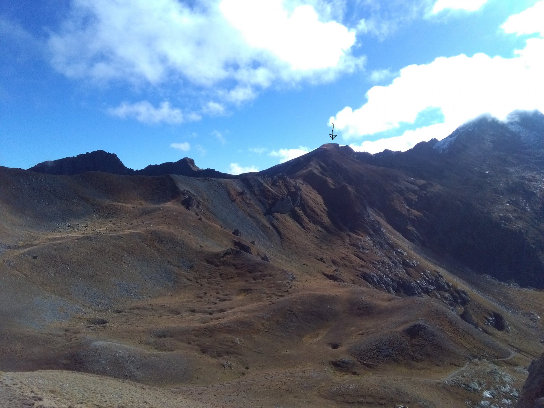
Da Ferrere seguire evidenti indicazioni per il colle del Ferro, trascurando il bivio a sinistra per il passo di Stau (sentiero per il quale si transiterà al ritorno). Giunti al colle del Ferro, seguire a sinistra per il colletto de la Tortisse, che si raggiunge in pochi minuti, dal quale volendo è possibile raggiungere la cima dell’omonima Aiguille (sentiero sin sotto la cima, per la cima 3 metri di II-). Dal colletto de la Tortisse seguire il sentiero che, dapprima a mezza costa e poi in cresta, conduce al Colle del Ferro Sud e poi transita sul lato italiano della Testa del Ferro 2769 m, che si raggiunge a piacimento e senza difficoltà e dalla quale si scende poi sul colle Panieris, zona nella quale sono presenti numerose fortificazioni militari. Da qui, scendere sul lato Pontebernardo prendendo il sentiero “alto”, che va ad intersecare il sentiero che da Prati del Vallone sale al passo di Stau (2500 m), ultimo colle della giornata. Da qui, facilmente e velocemente a Ferrere.
Nelle vicinanze Mappa
Itinerari
30/08/2009 CN, Bersezio/Argentera D+ 1900 m EE Tutte
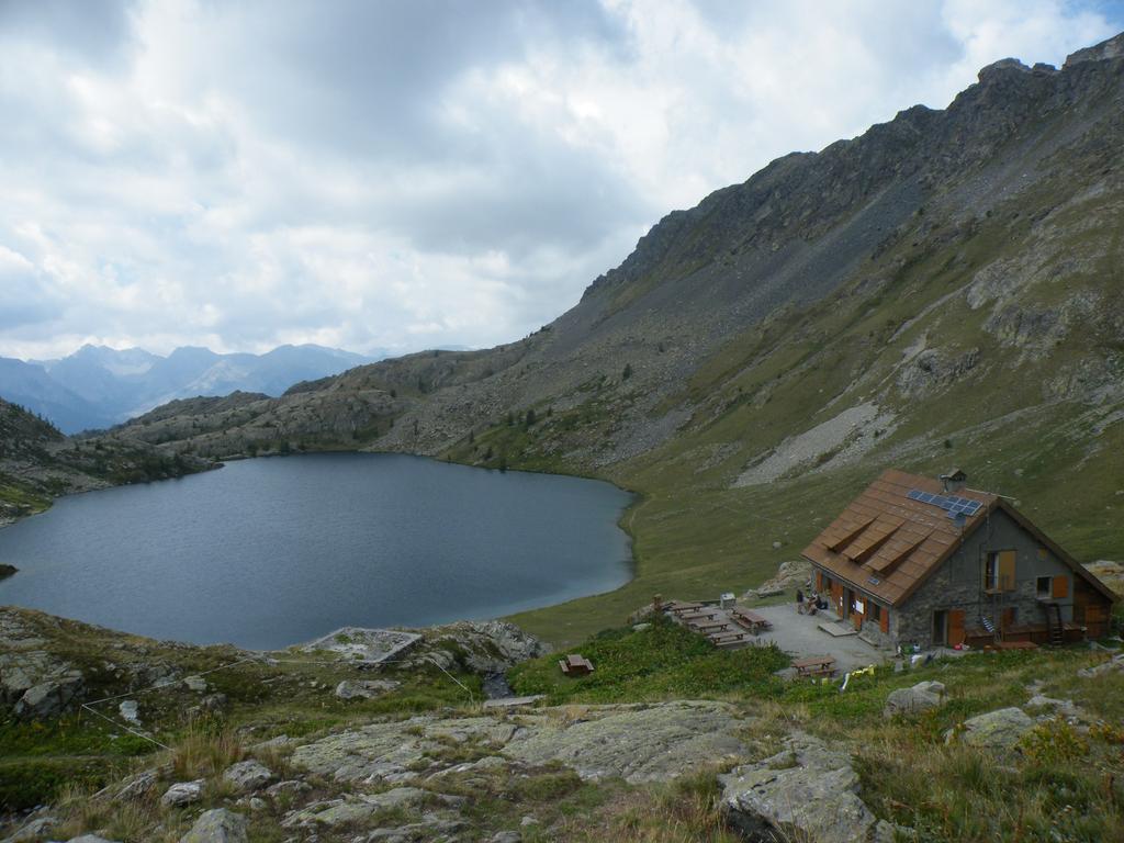
Vens (Cime di) da Ferrere, anello per Col del Ferro, Passo des Blanches, Passo di Vens, Colle di Stau
 50m
50m
22/07/2025 CN, Bersezio/Argentera D+ 800 m E Varie
Tortisse (Aiguille de) da Ferrere per il Colle del Ferro
 50m
50m
19/06/2022 CN, Bersezio/Argentera D+ 900 m EE Varie
Lose (Cima delle) e Punta del Briccas da Ferrere, anello
 50m
50m
24/09/2017 CN, Bersezio/Argentera D+ 1000 m E Varie
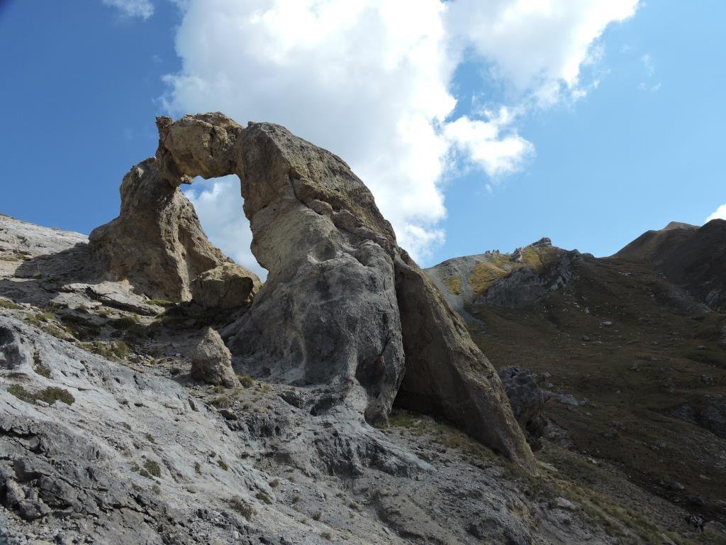
Vens (Laghi di) da Ferrere
 50m
50m
30/09/2018 CN, Bersezio/Argentera D+ 1150 m E Tutte
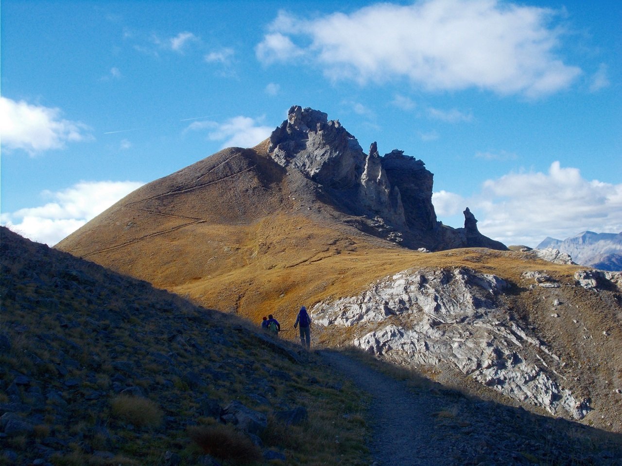
Ferro (Testa del), Aiguille de Tortisse, Cime du Fer da Ferrere, anello per il Colle del Ferro
 50m
50m
14/06/2026 CN, Bersezio/Argentera D+ 1227 m EE/F Varie
Aiga (Monte) e Monte Pebrun da Ferrere, anello per la Bassa di Colombart e la Rocca Reis
 50m
50m
14/09/2025 CN, Bersezio/Argentera D+ 850 m EE Sud-Est
Pebrun (Monte) o Pel Brun da Ferrere per il Colle del Puriac
 50m
50m
30/06/2024 CN, Bersezio/Argentera D+ 1600 m EE Varie
Babarottes (Cime des) e Cime de Fourchas da Ferrere per i Laghi di Vens
 50m
50m
07/07/2025 CN, Bersezio/Argentera D+ 1000 m EE Sud-Est
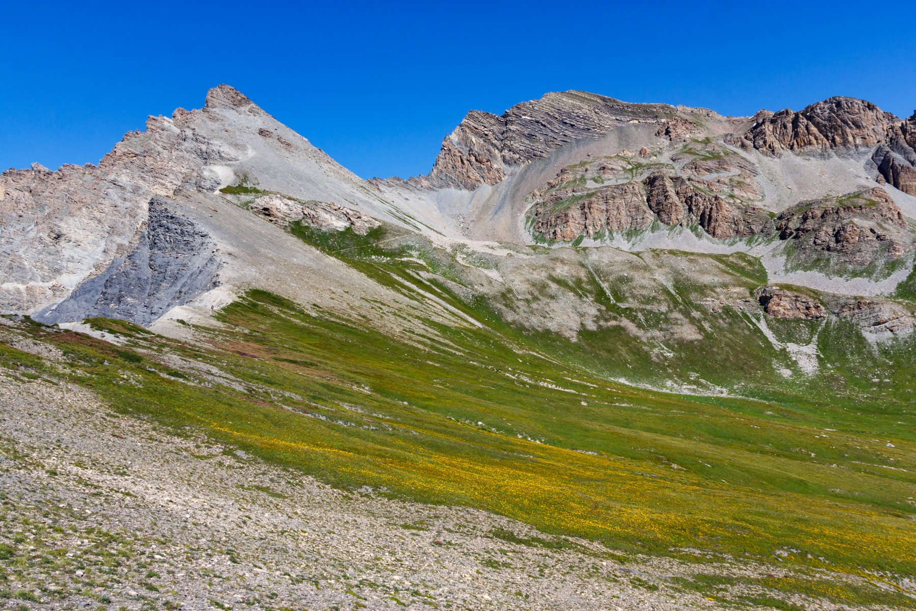
Enchastraye (Monte) o Enchastraia da Ferrere per Bassa di Colombart e Colle del Puriac
 50m
50m
05/07/2020 CN, Bersezio/Argentera D+ 900 m EE Sud-Est
Tre Vescovi (Rocca) da Ferrere per il Colle del Puriac
 50m
50m
Servizi
3Km
3.1Km
da Mo Ristorante
Bersezio/Argentera
3.2Km
B&b del Villaggio B&B
Bersezio/Argentera
4.5Km
Archibus Pub Ristorante
Bersezio/Argentera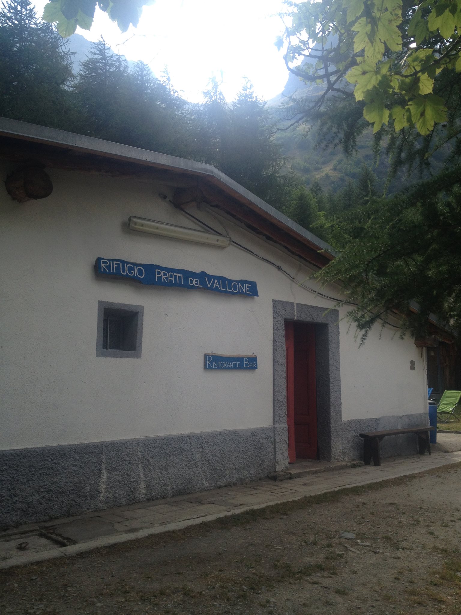 5.2Km
5.2Km
Rifugio Prati del Vallone Rifugio
Pietraporzio
7.2Km
Agri Bistrot Pecora Nera Ristorante
Pietraporzio
8.7Km
Gardetta Rifugio
Canosio
8.8Km
L’Oste d’oc Ristorante
Pietraporzio
9.1Km
Ostello Centosentieri Albergo
Pietraporzio
9.2Km