4.1Km
4.1Km
Avvicinamento
 50m
2.2Km
2.2Km
2.2Km
2.2Km
2.2Km
2.2Km
2.2Km
2.2Km
2.2Km
50m
2.2Km
2.2Km
2.2Km
2.2Km
2.2Km
2.2Km
2.2Km
2.2Km
2.2Km
.
Descrizione
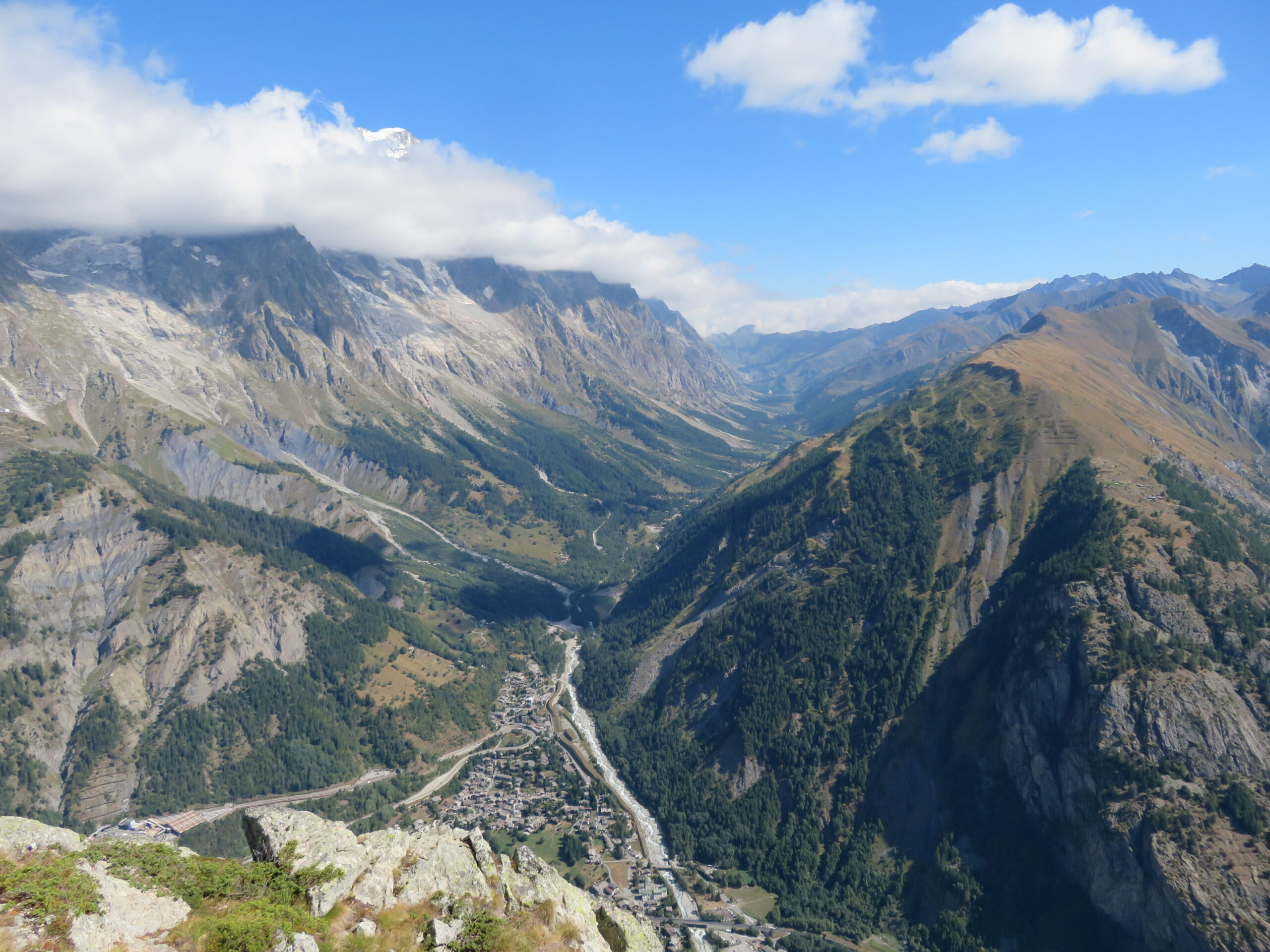
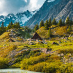
Partendo da localita Zerotta si può sciegliere 2 itinerari
1 risalendo le piste da sci, itinerario più faticoso ma più breve (piste da attreversare blu,nera)
2 salendo per una comoda strada a tornanti meno faticosa anche se più lunga.
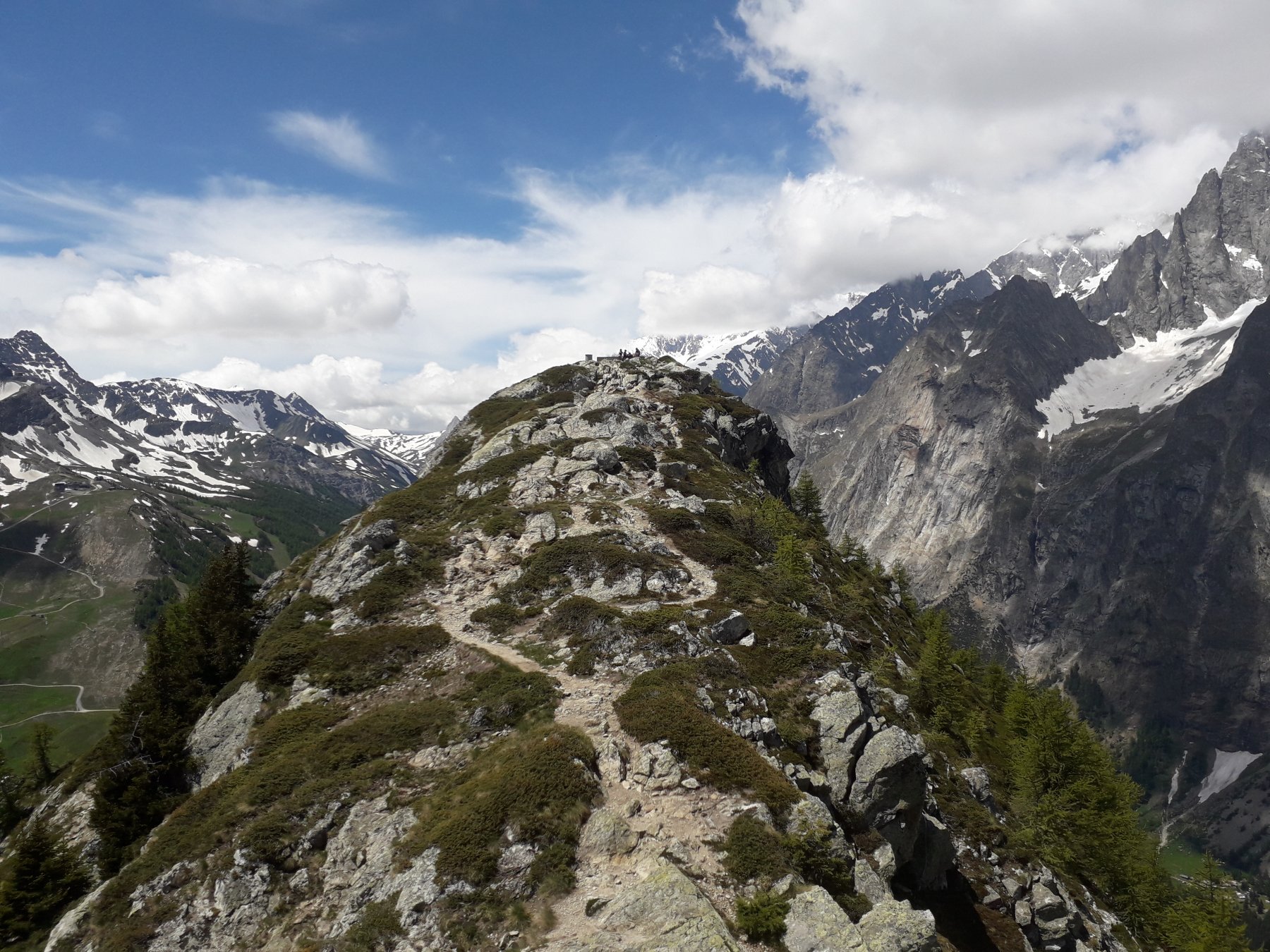
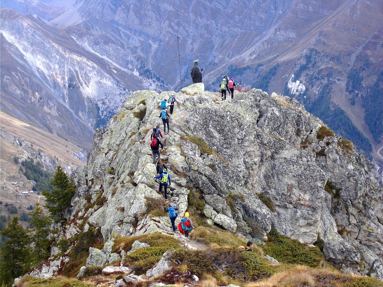
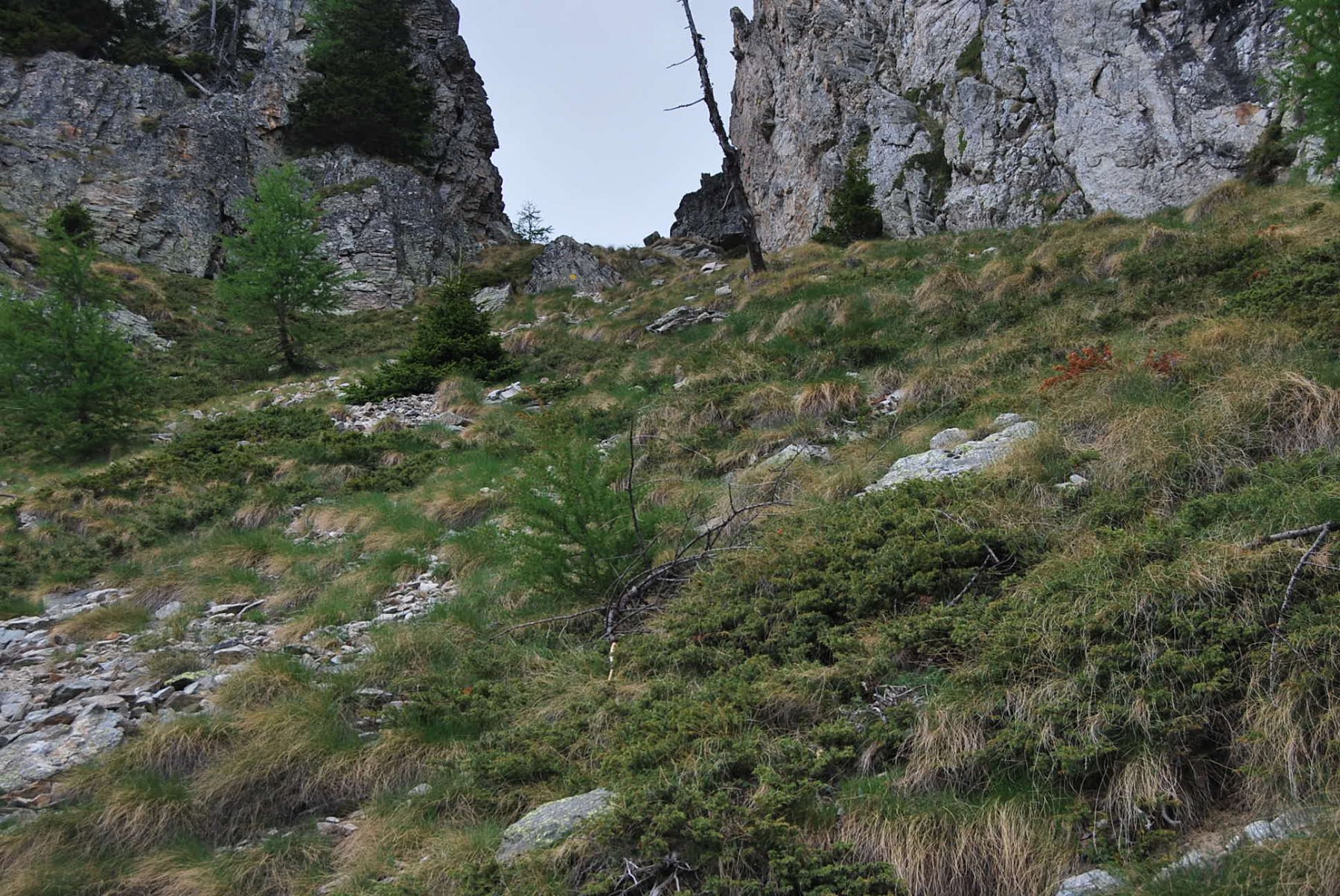
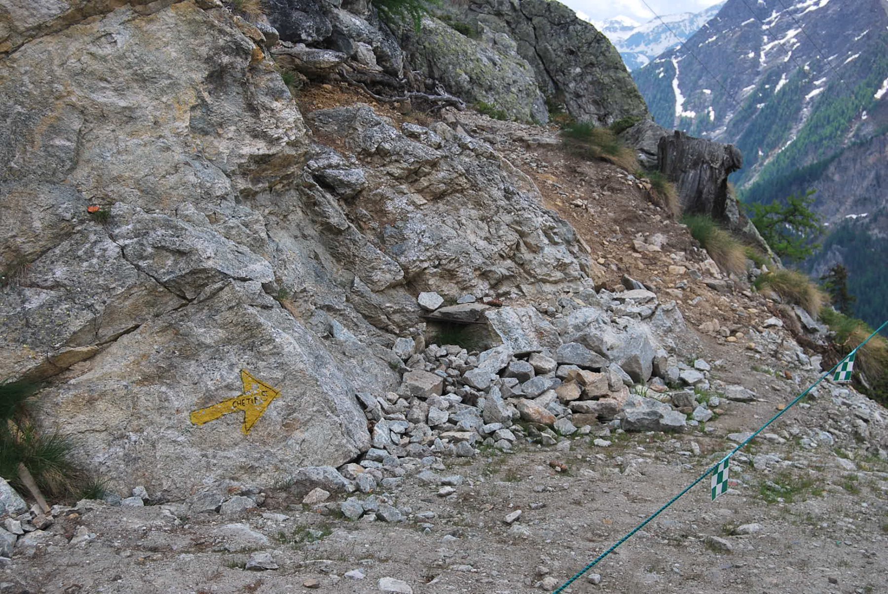
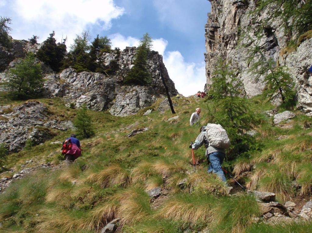
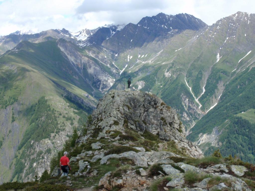
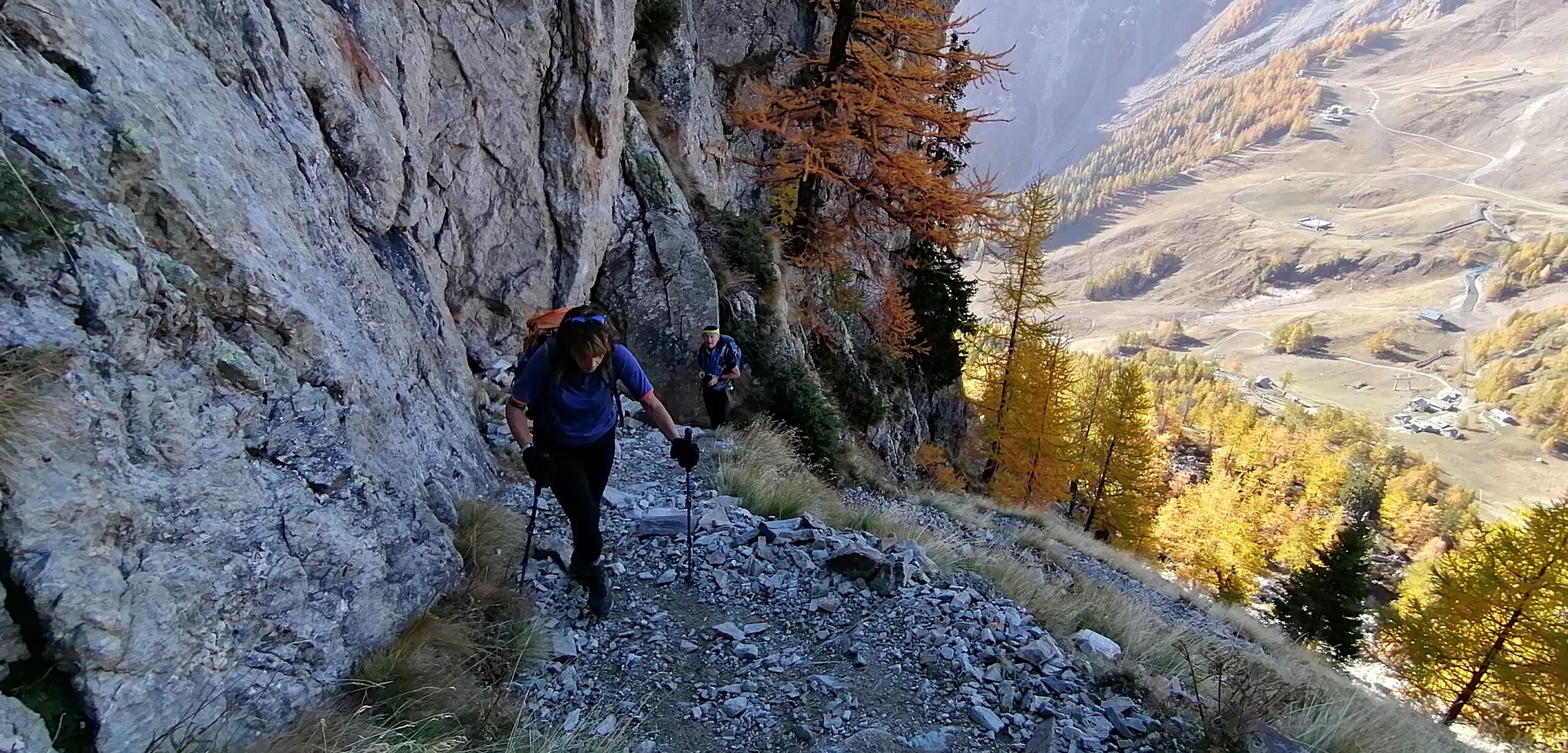
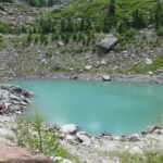
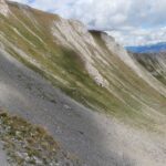
Una volta arrivati all’arrivo della funivia (non funzionante in estate) si deve continuare a salire e seguire il sentiero in salita costituito di pietre leggermente esposto. Si sale da un canalone facendo attenzione a nn fare cadere pietre. Arrivati in cima bisogna girare a dx non come indica una pietra posta li a sx (prestare attenzione)
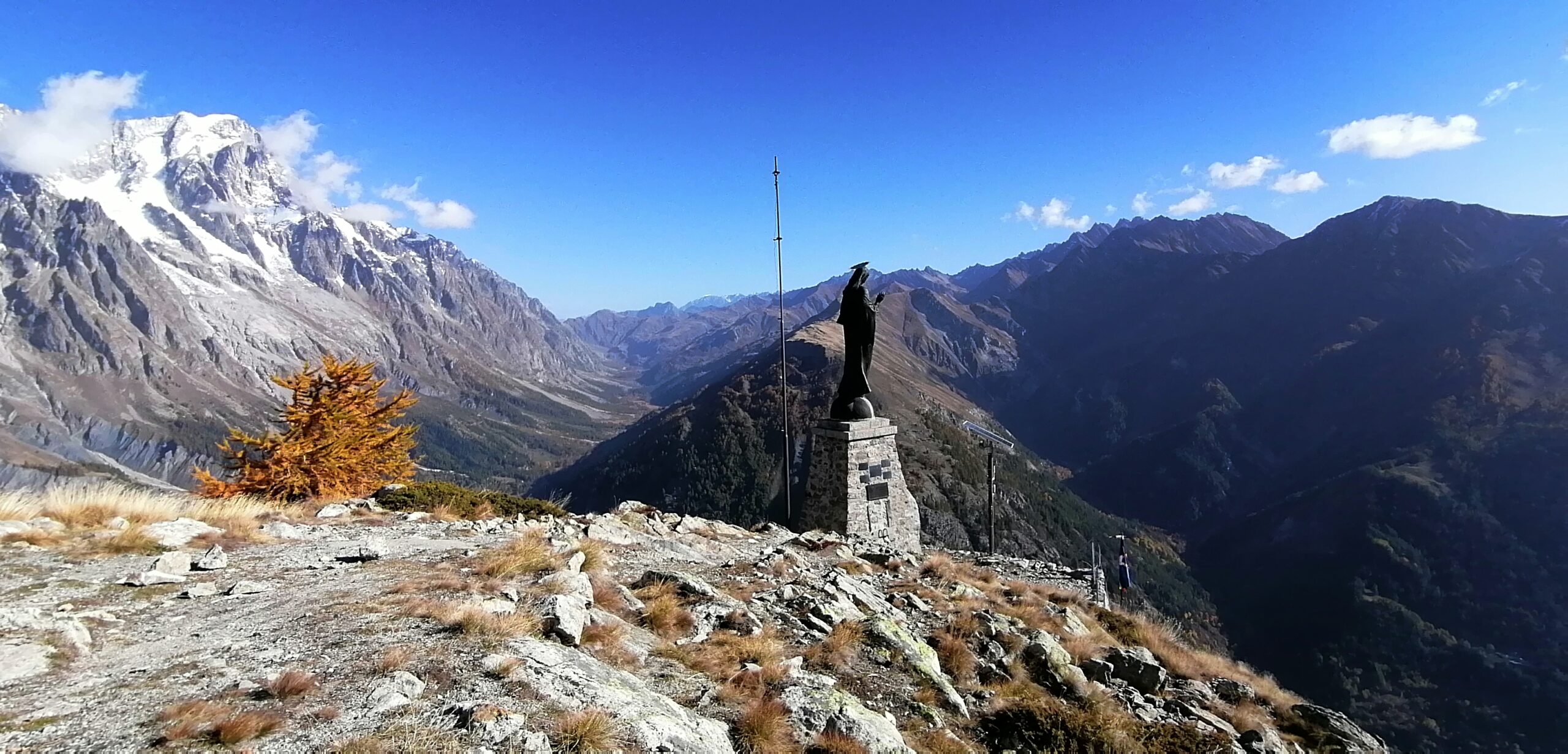
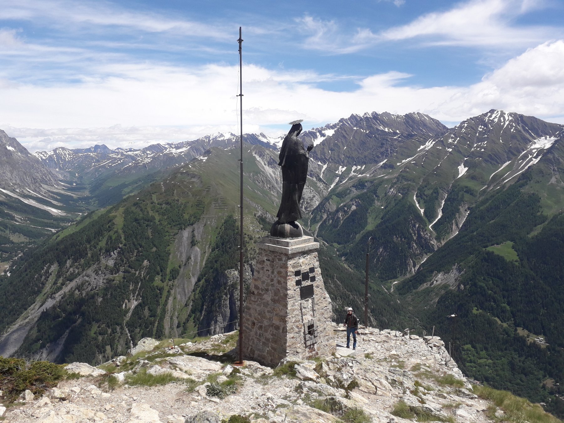
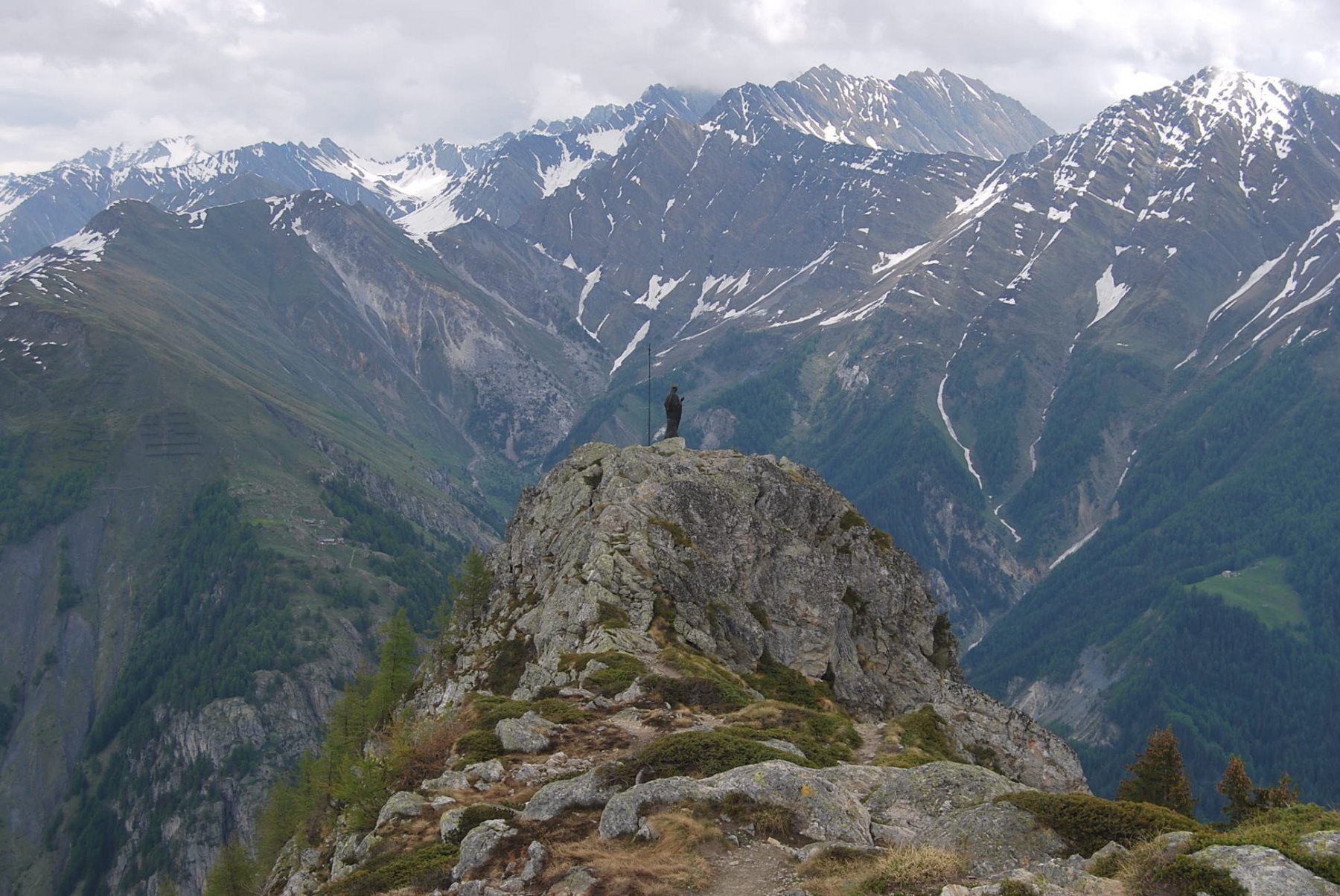
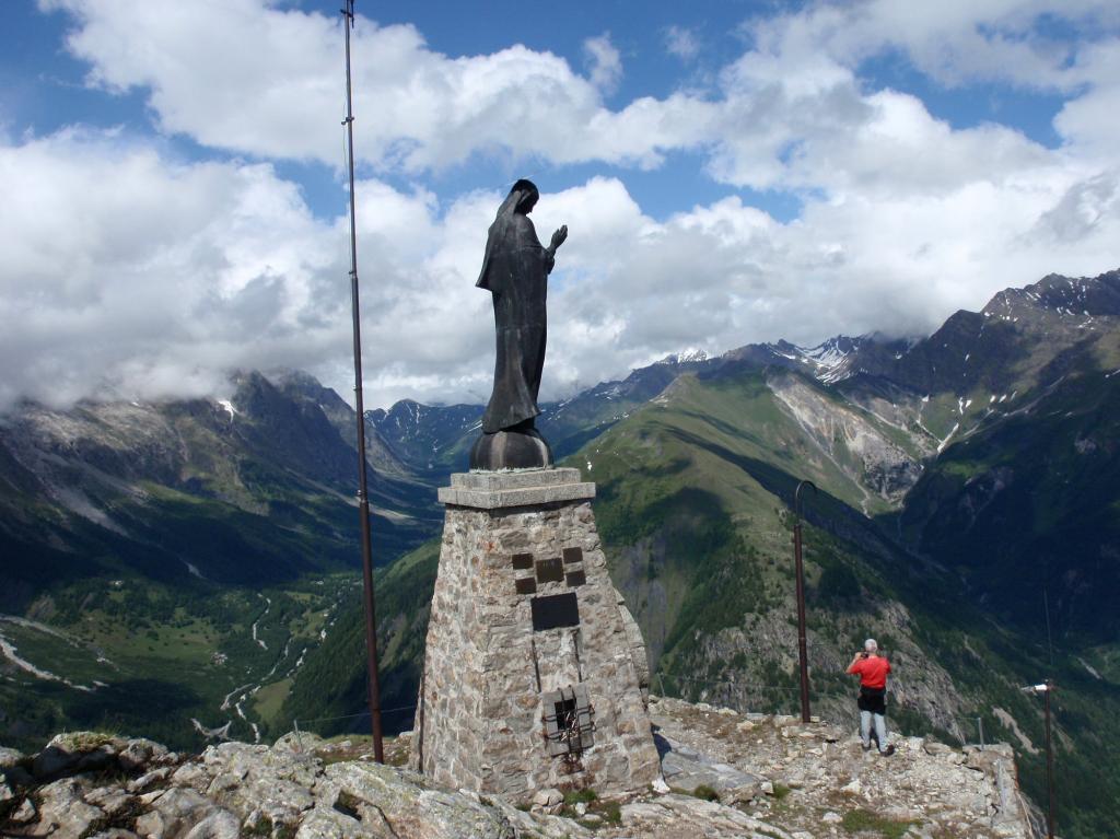
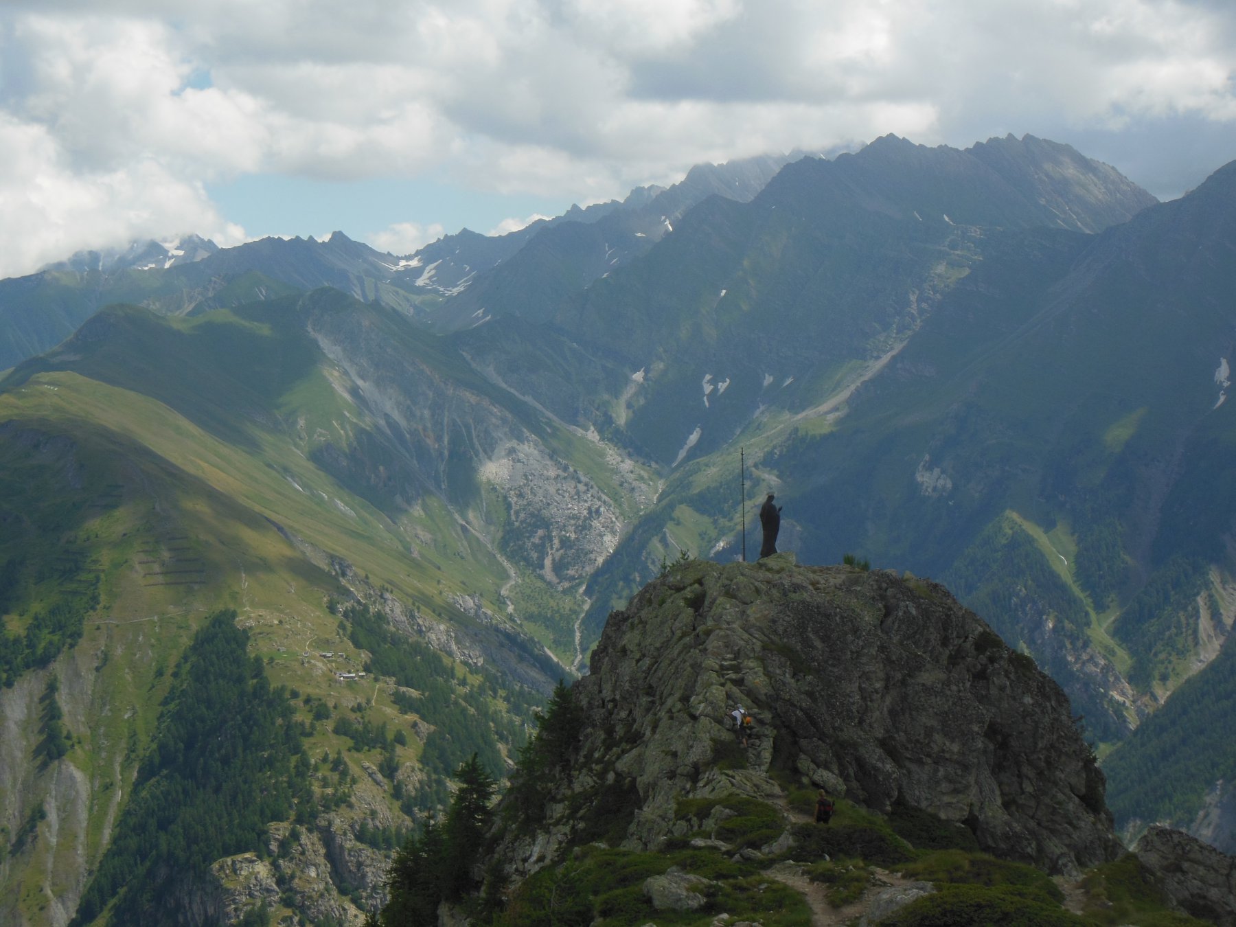
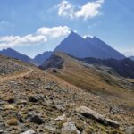
Continuando la salia si arrivera alla piataforma dove atterò l’elicottero in occaisione della visita del papa. proseguendo per 100mt si arrivera alla statua posta sopra.
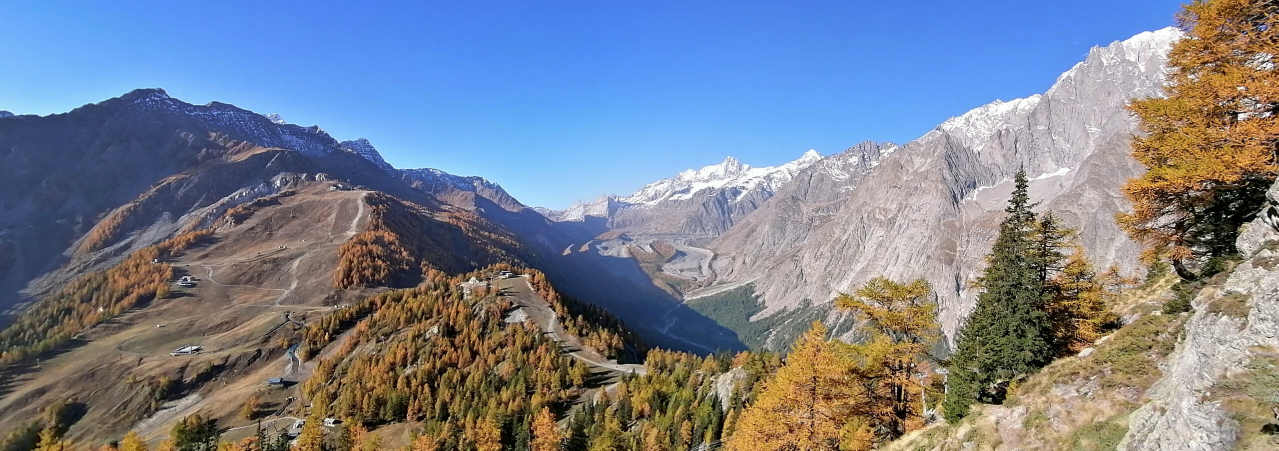
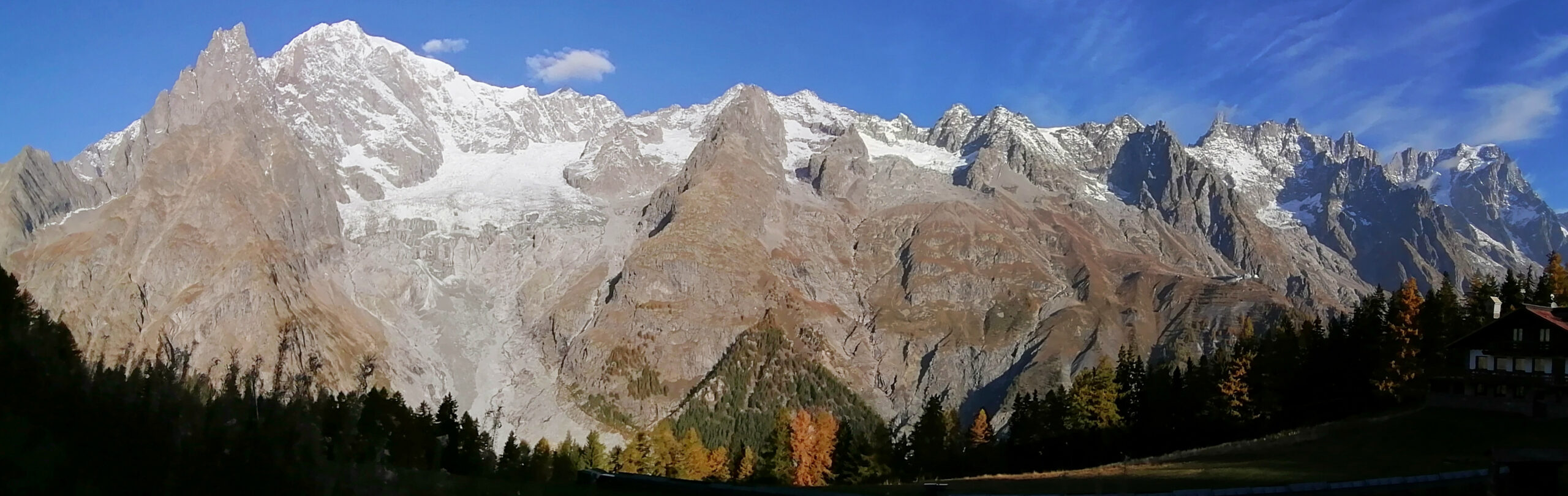
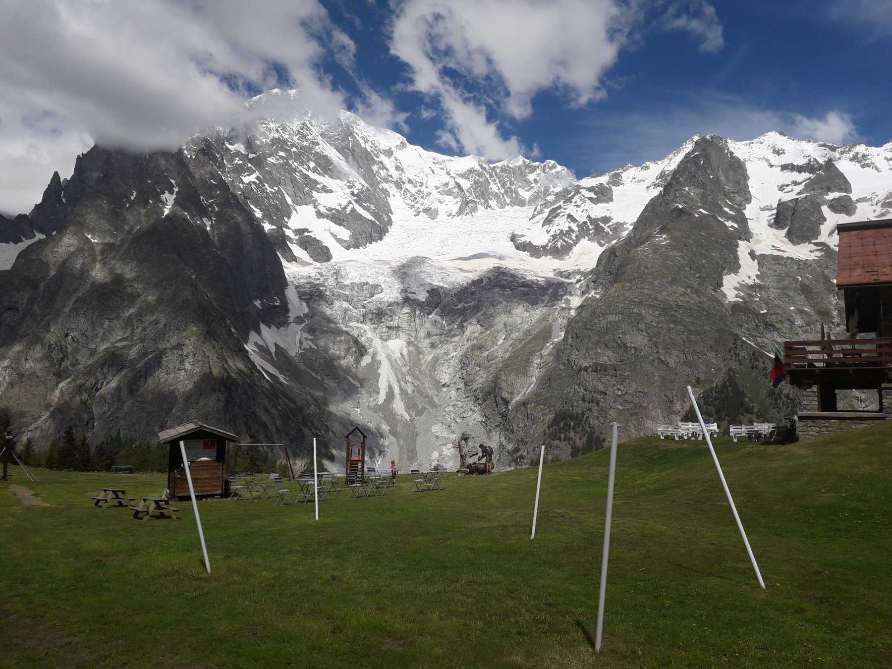
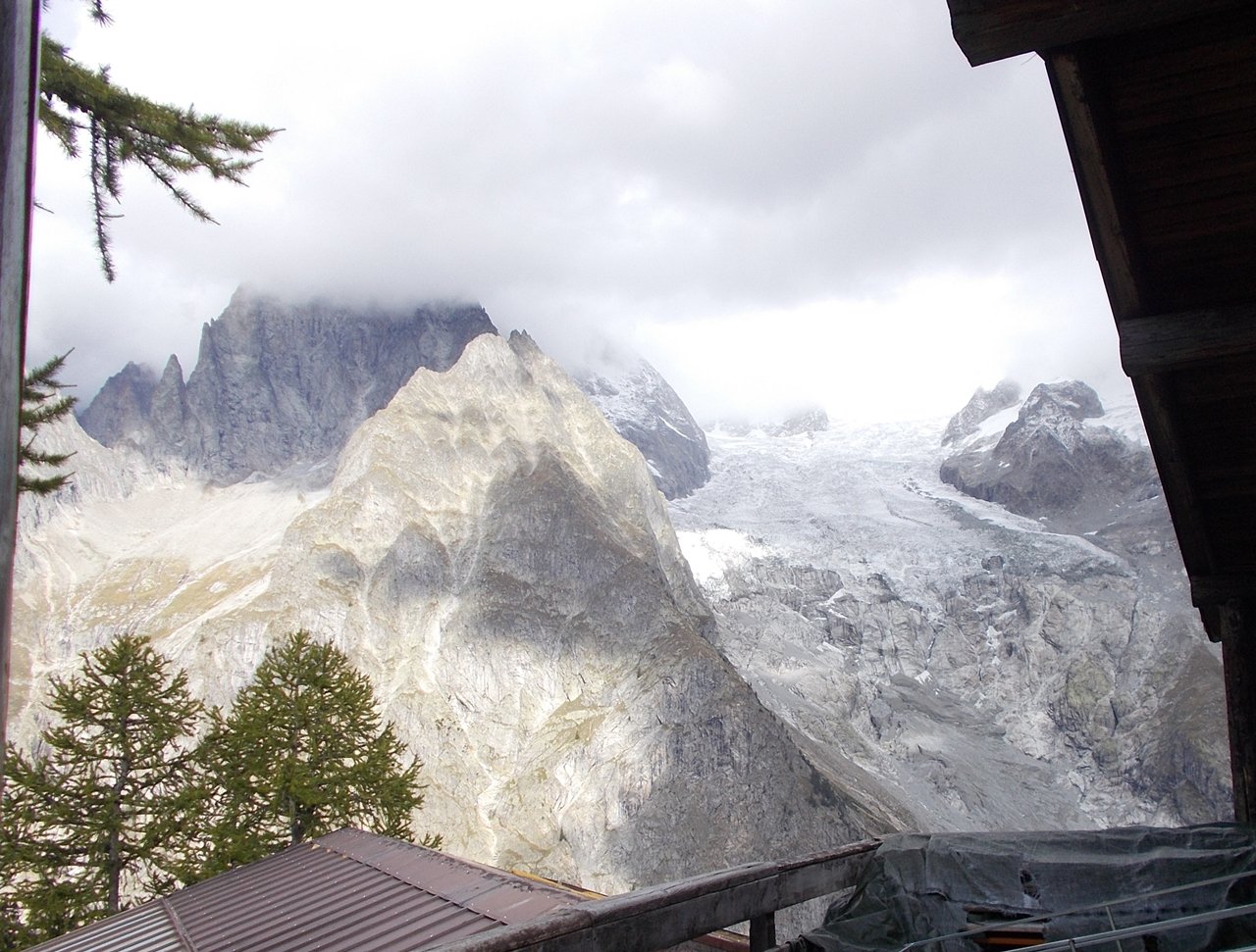
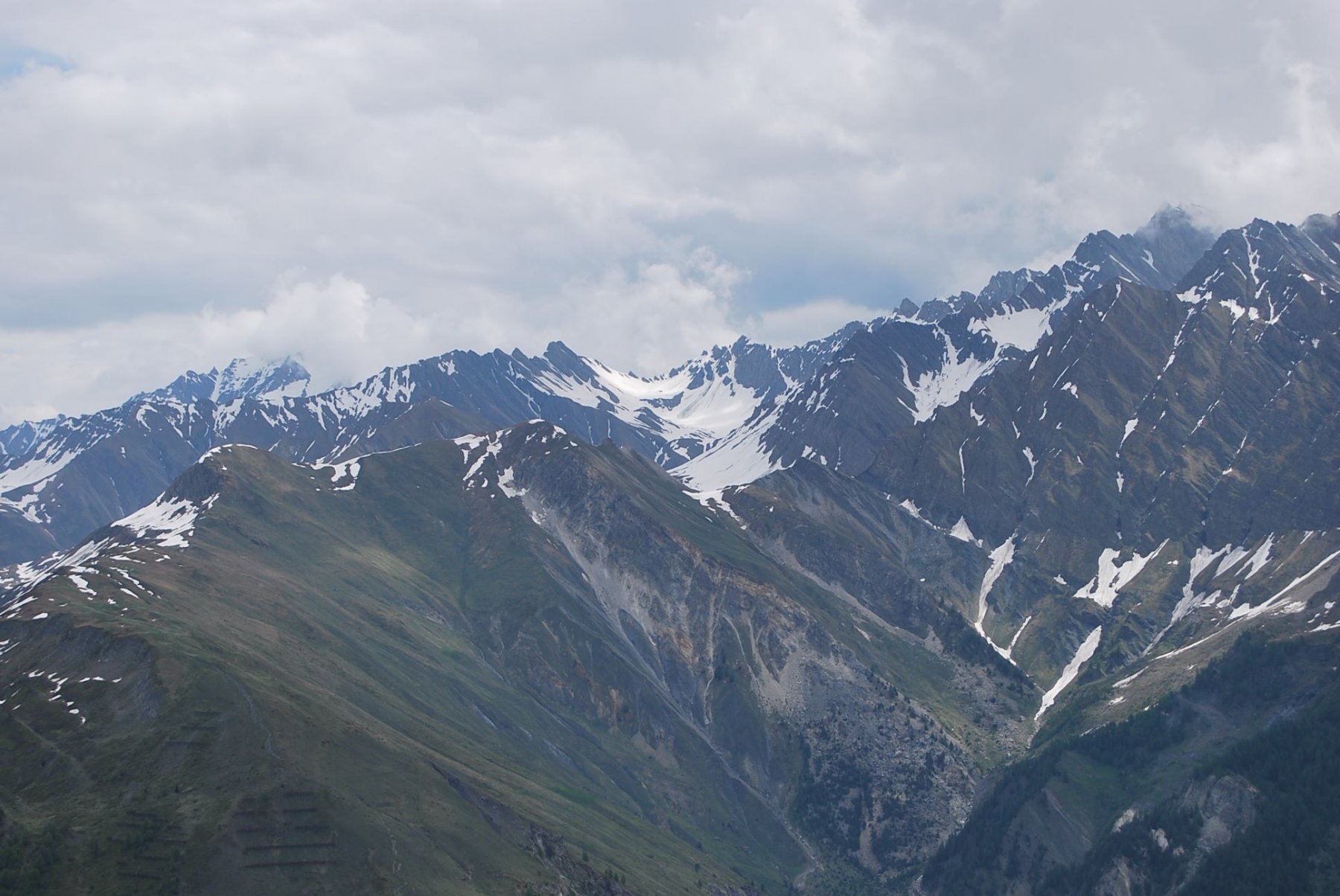
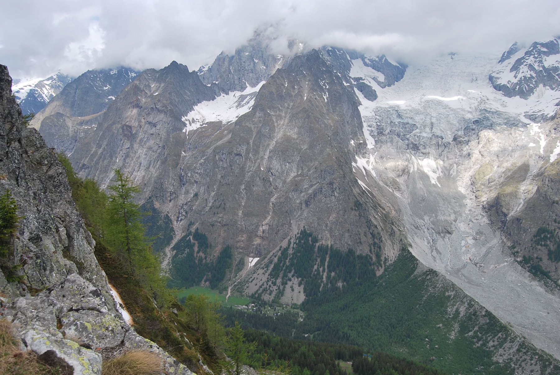
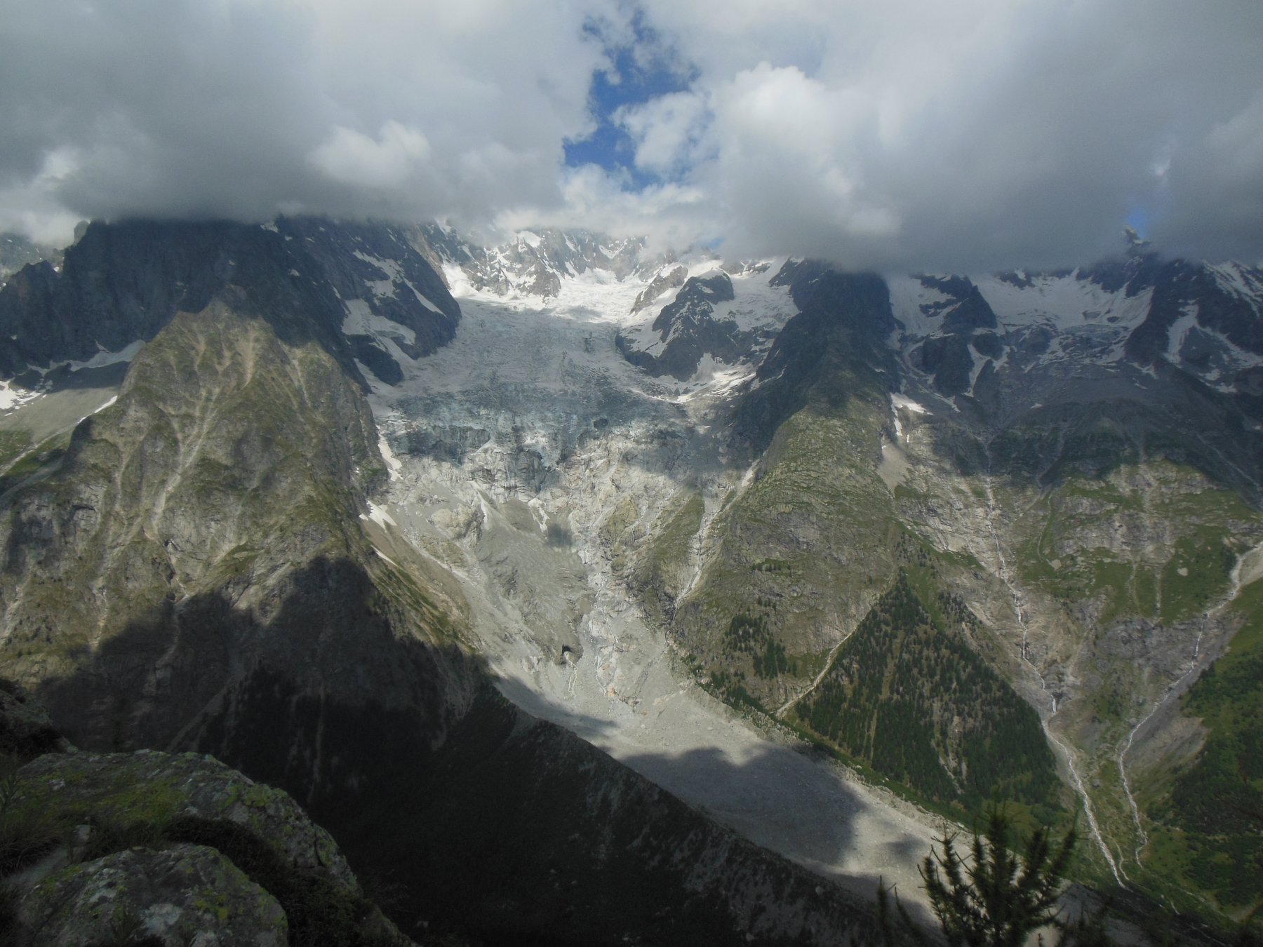
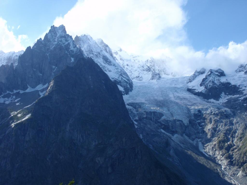
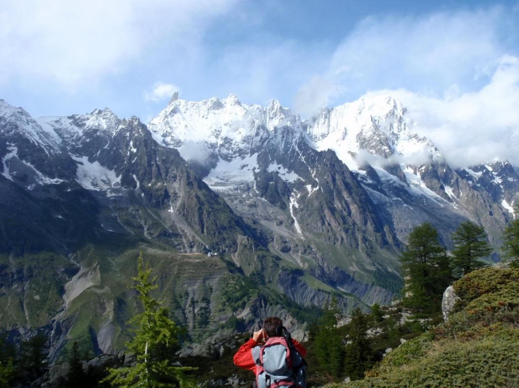
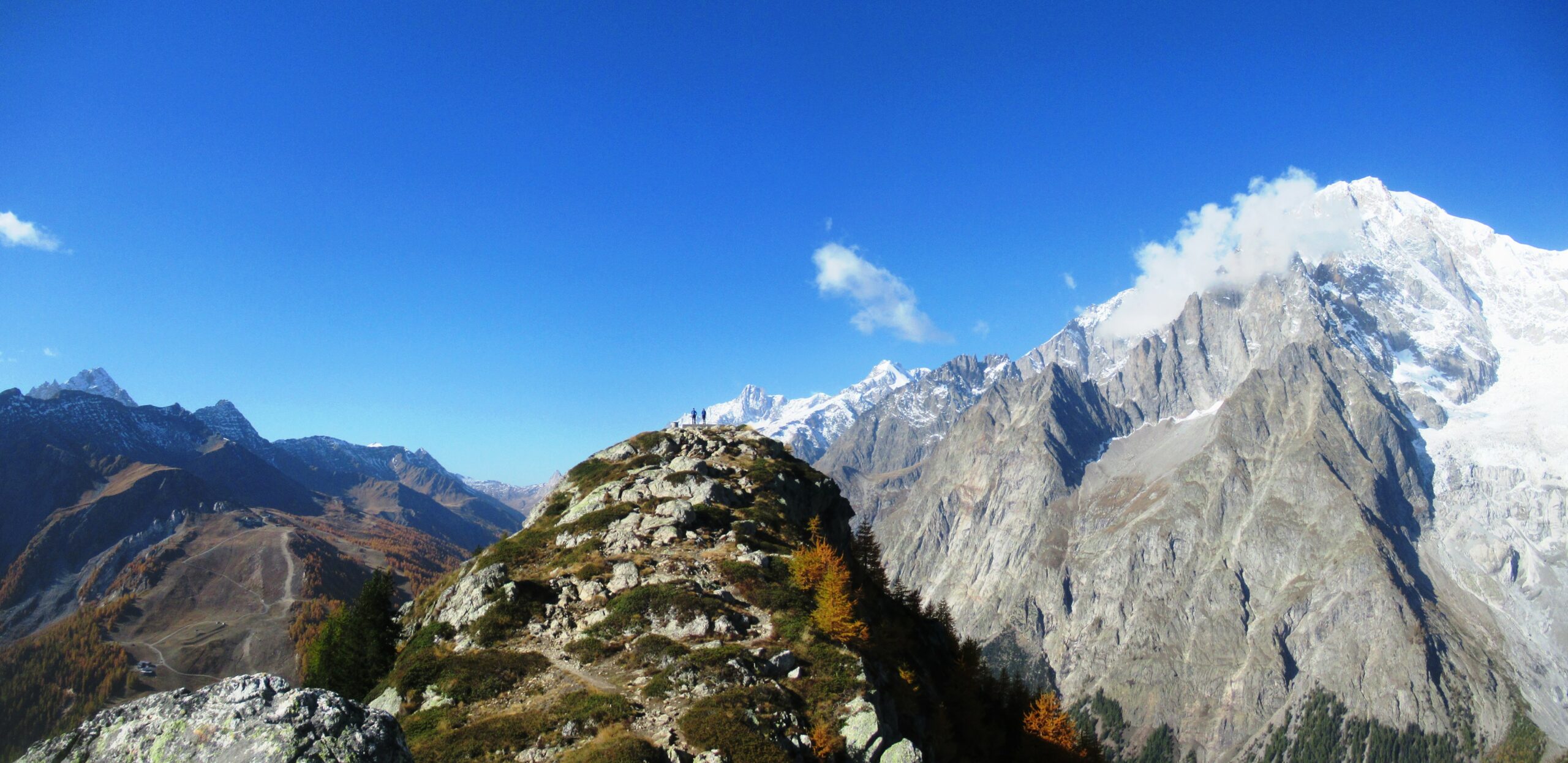
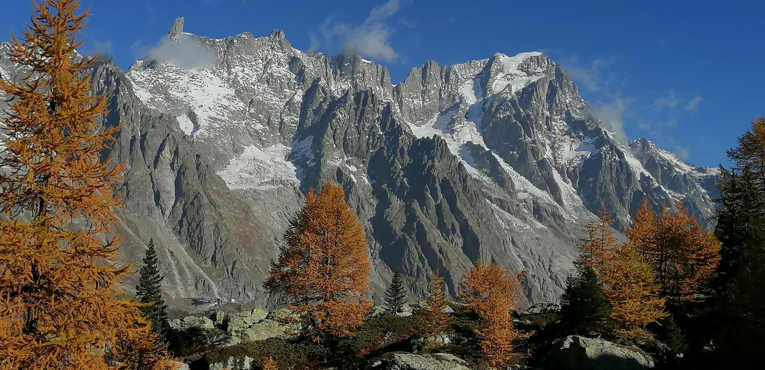
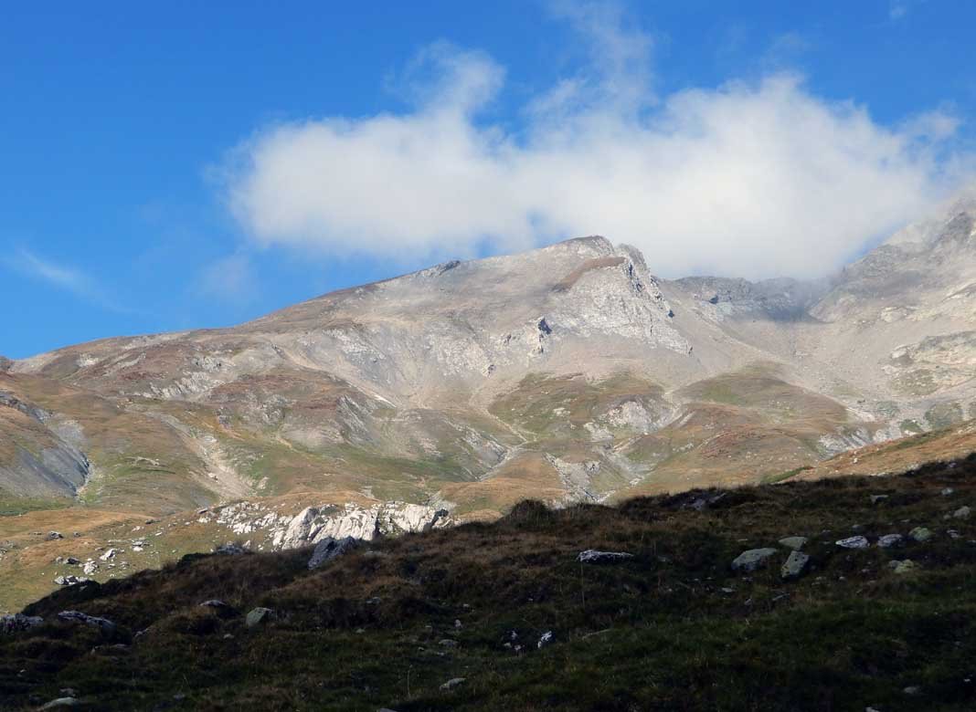
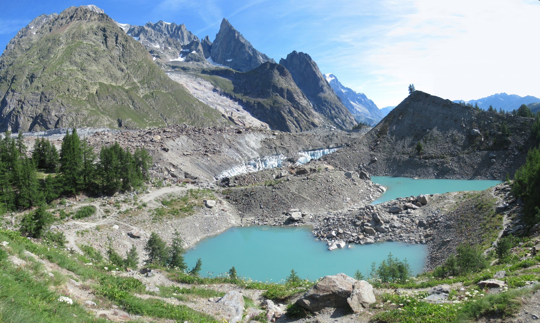
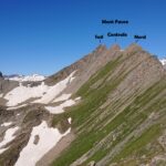
Tutto il percorso viene svolto con l’immagine di tutta la catena del Monte Bianco. Giunti in cima si possono vedere il Routor il Gran Paradiso
- Cartografia:
- Catra Monte Bianco o Guida ai sentieri del monte bianco
Nelle vicinanze Mappa
Itinerari
05/09/2021 AO, Courmayeur D+ 500 m E Varie
Checrouit (Lago) dalla Val Veny
 50m
50m
17/06/2023 AO, Courmayeur D+ 855 m E Ovest
Seigne (Col de la) da La Visaille
 2.2Km
2.2Km
24/07/2025 AO, Courmayeur D+ 333 m T Ovest
Miage (Lago del) da La Visaille per il Lago del Combal
 2.2Km
2.2Km
24/08/2022 AO, Courmayeur D+ 1099 m EE Varie
Fortin (Mont) da La Visaille
 2.2Km
2.2Km
08/08/2019 AO, Courmayeur D+ 1050 m E Varie
Glaciers (Montagnes des) da la Visaille
 2.2Km
2.2Km
14/08/2021 AO, Courmayeur D+ 1388 m EE/F Sud
Rainetto Gino (Bivacco) da la Visaille
 2.2Km
2.2Km
18/08/2020 AO, Courmayeur D+ 1450 m E Varie
Fortin (Mont) da la Visaille, anello per il Colle Youla
 2.2Km
2.2Km
17/08/2025 AO, Courmayeur D+ 550 m T Sud-Est
Soldini Elisabetta (Rifugio) da La Visaille
 2.2Km
2.2Km
23/08/2013 AO, Courmayeur D+ 700 m EE Sud
Miage (Ghiacciaio del) da La Visaille
 2.2Km
2.2Km
22/07/2021 AO, Courmayeur D+ 1347 m EE/F Tutte
Favre (Mont) o Pointes des Charmonts da la Visaille
 2.2Km
2.2Km