6.2Km
6.2Km
Note
 0m
0m
0m
0m
0m
0m
0m
0m
0m
0m
0m
0m
0m
0m
0m
0m
0m
0m
0m
0m
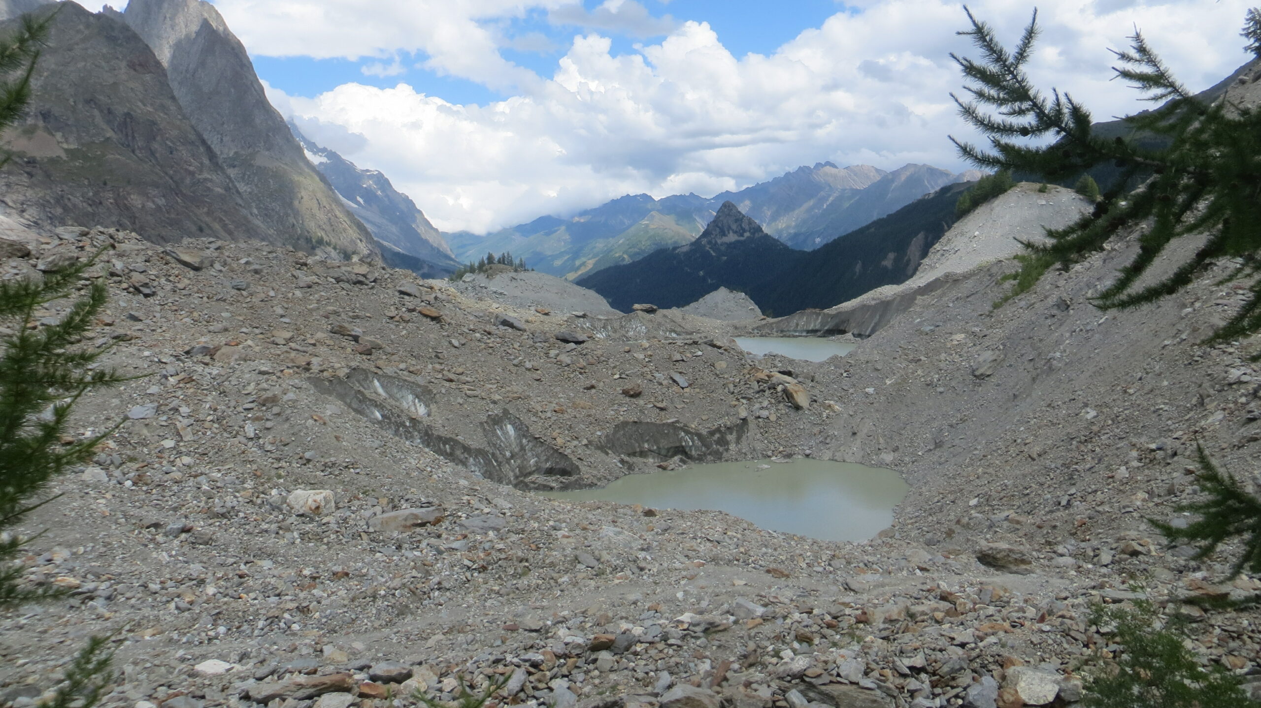
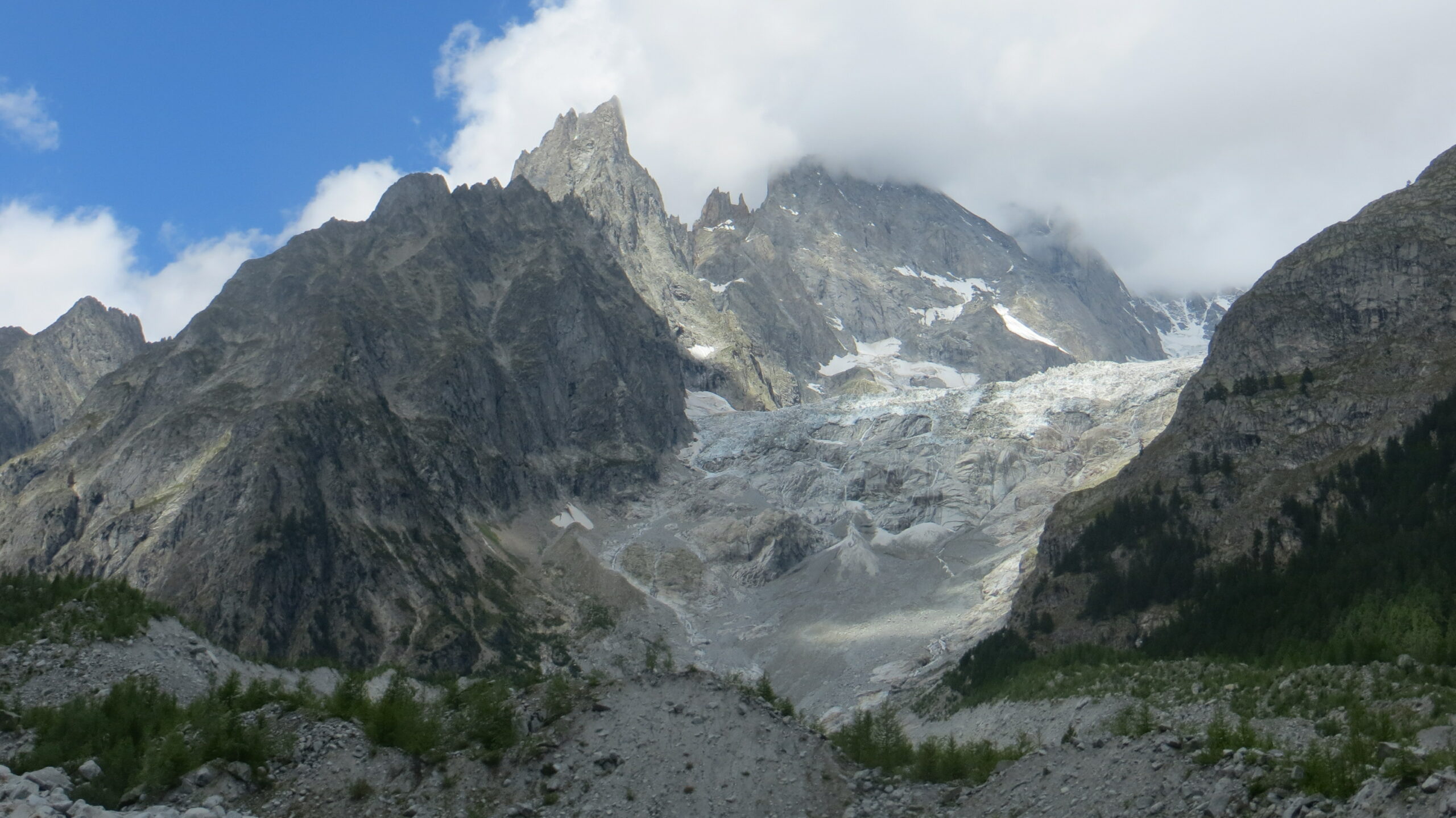
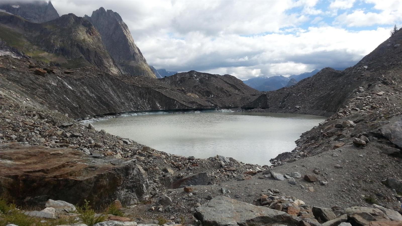
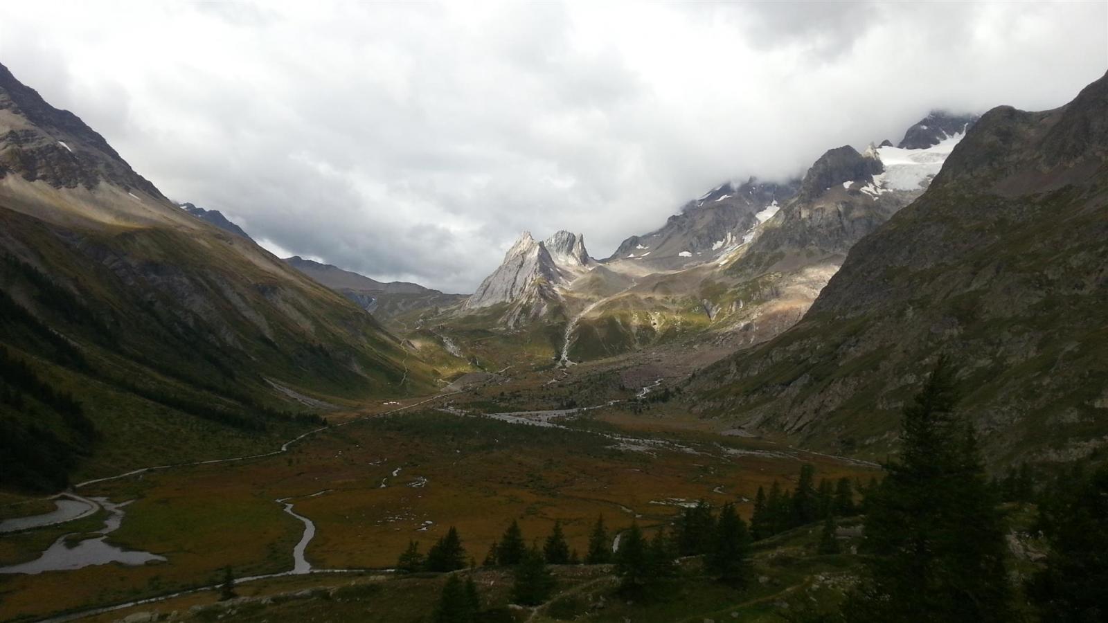
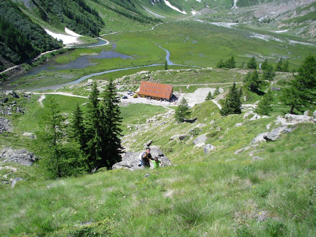
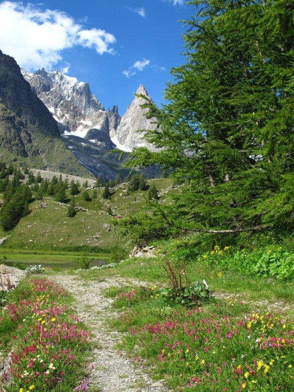
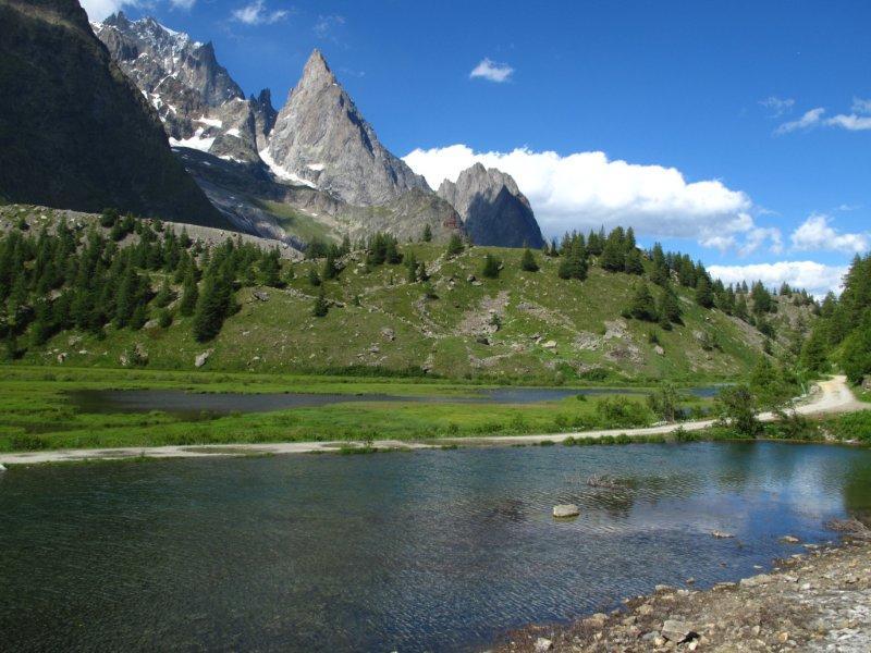
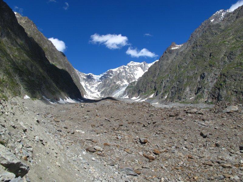
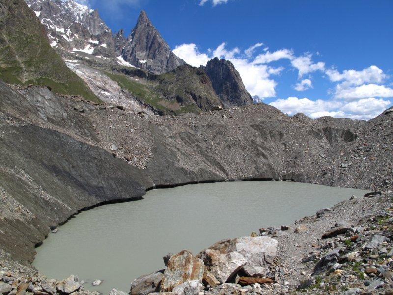
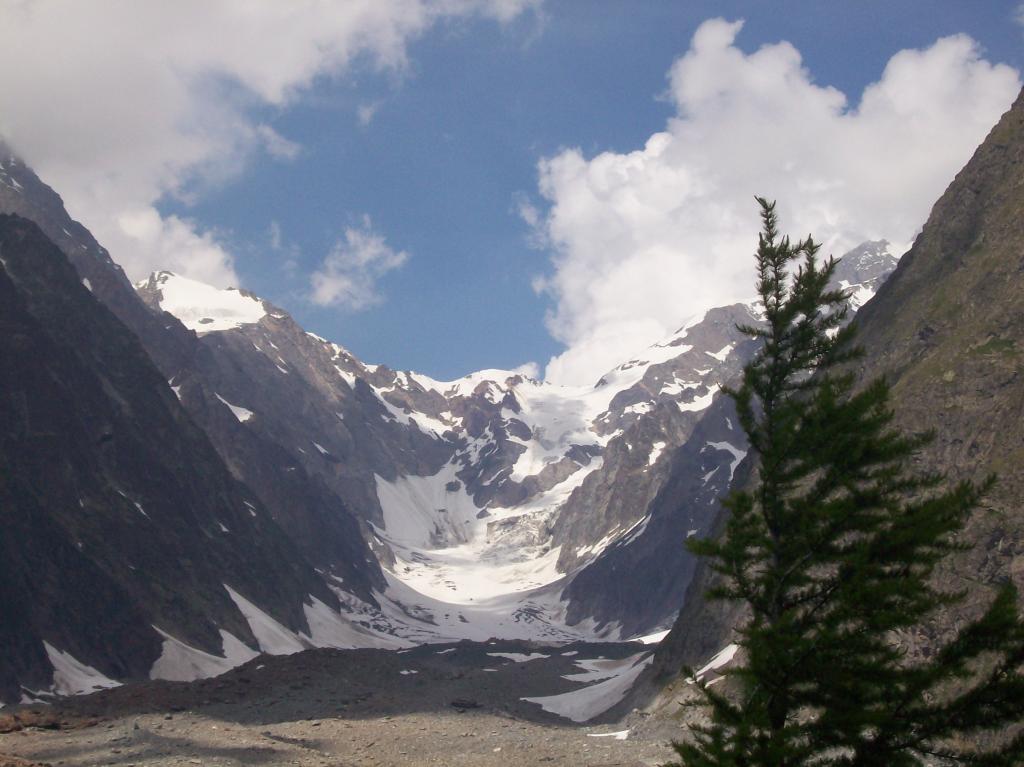
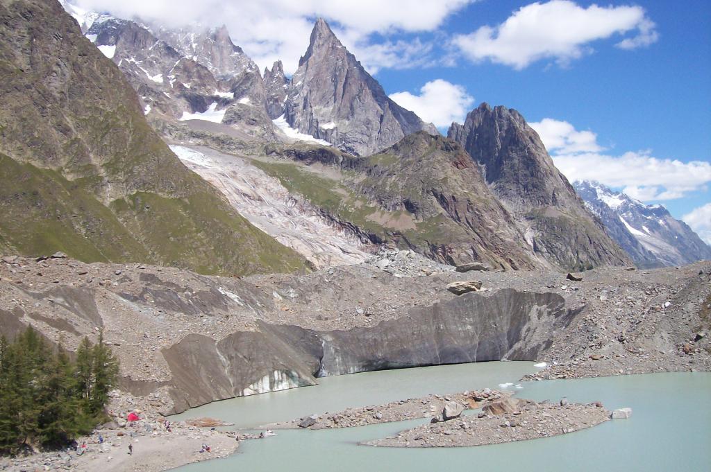
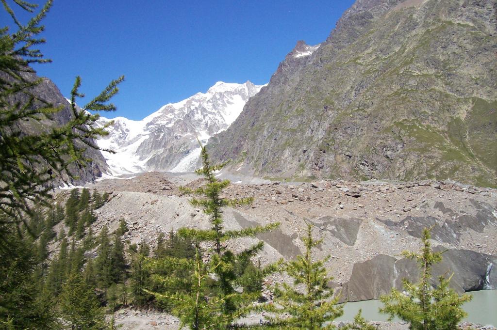
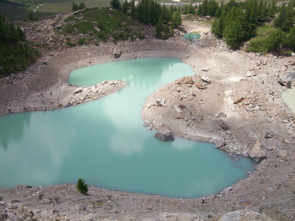
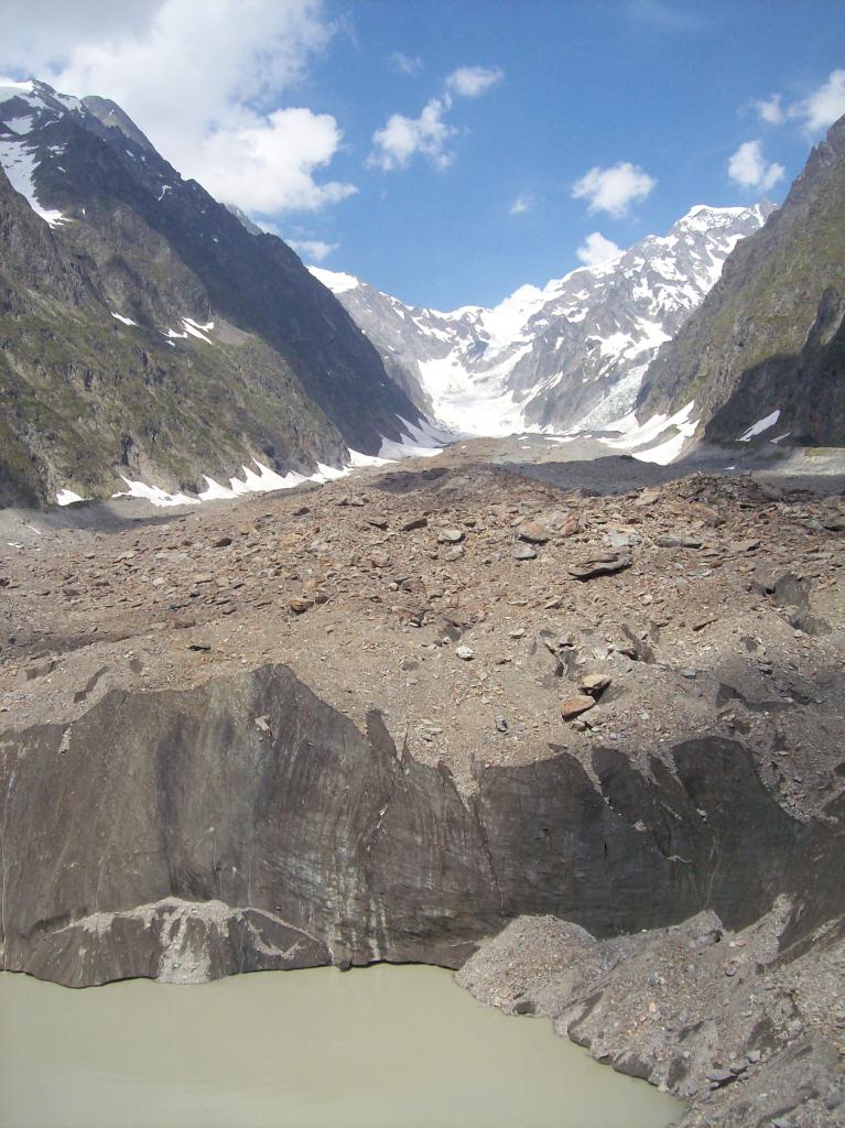
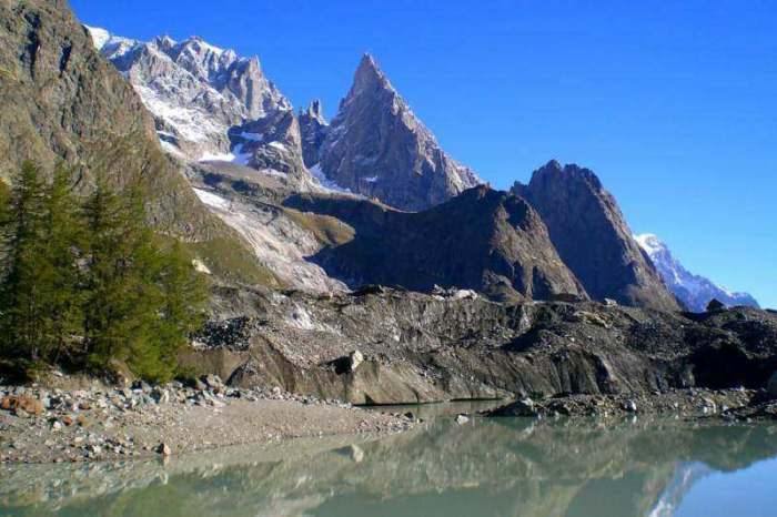
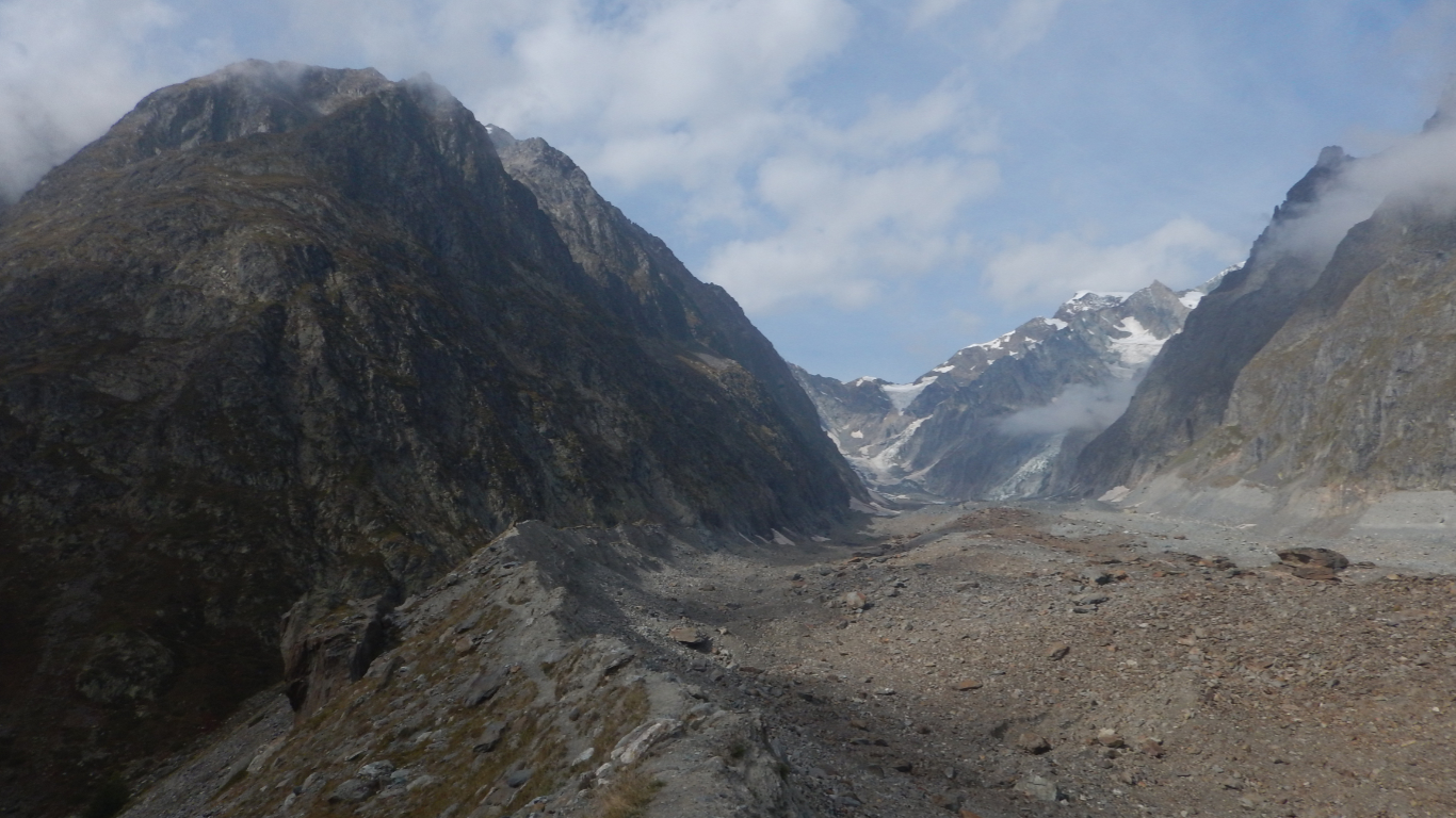
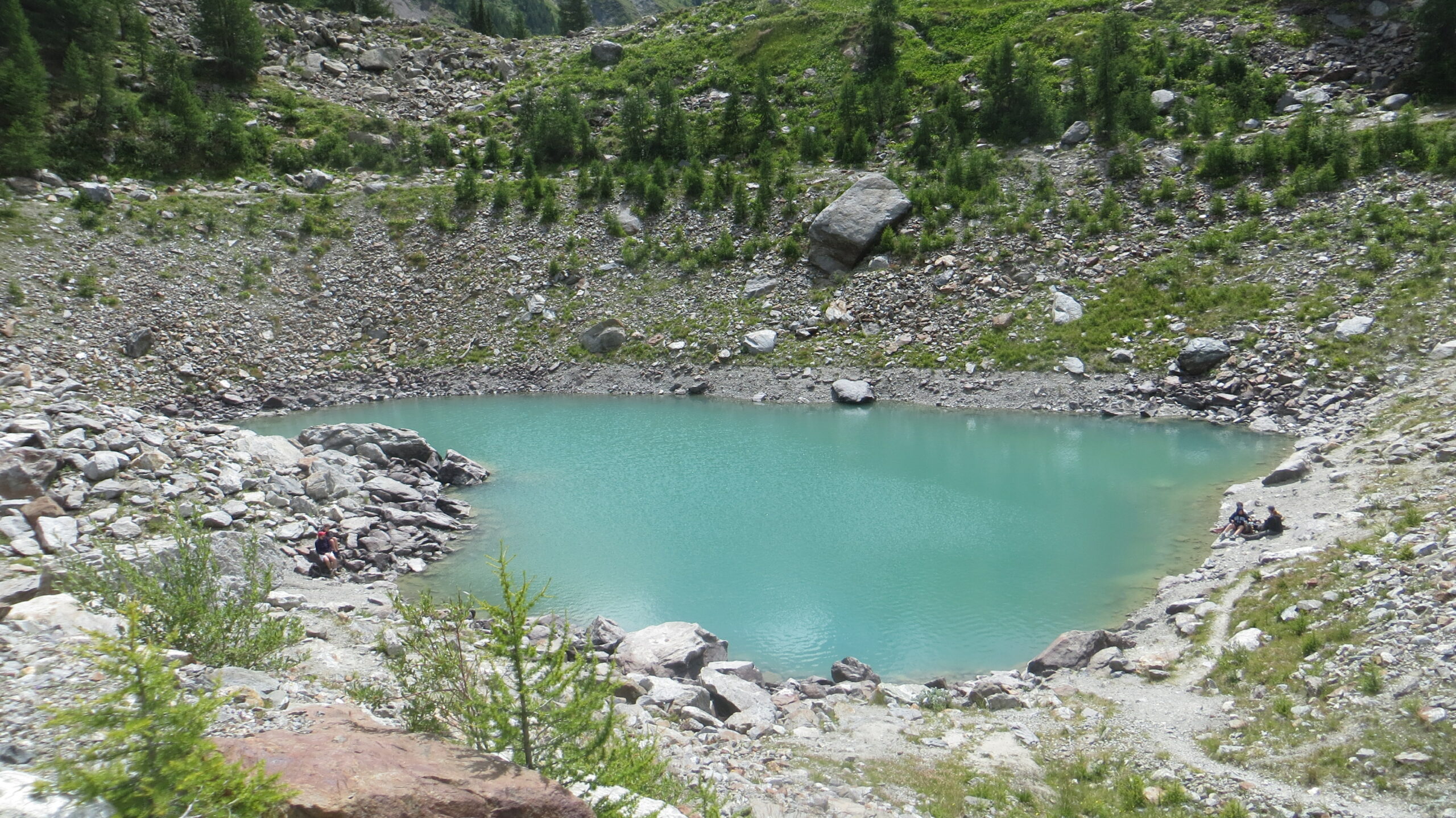
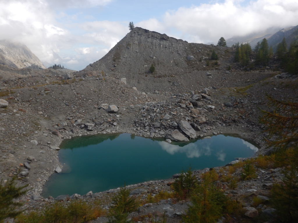
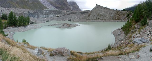
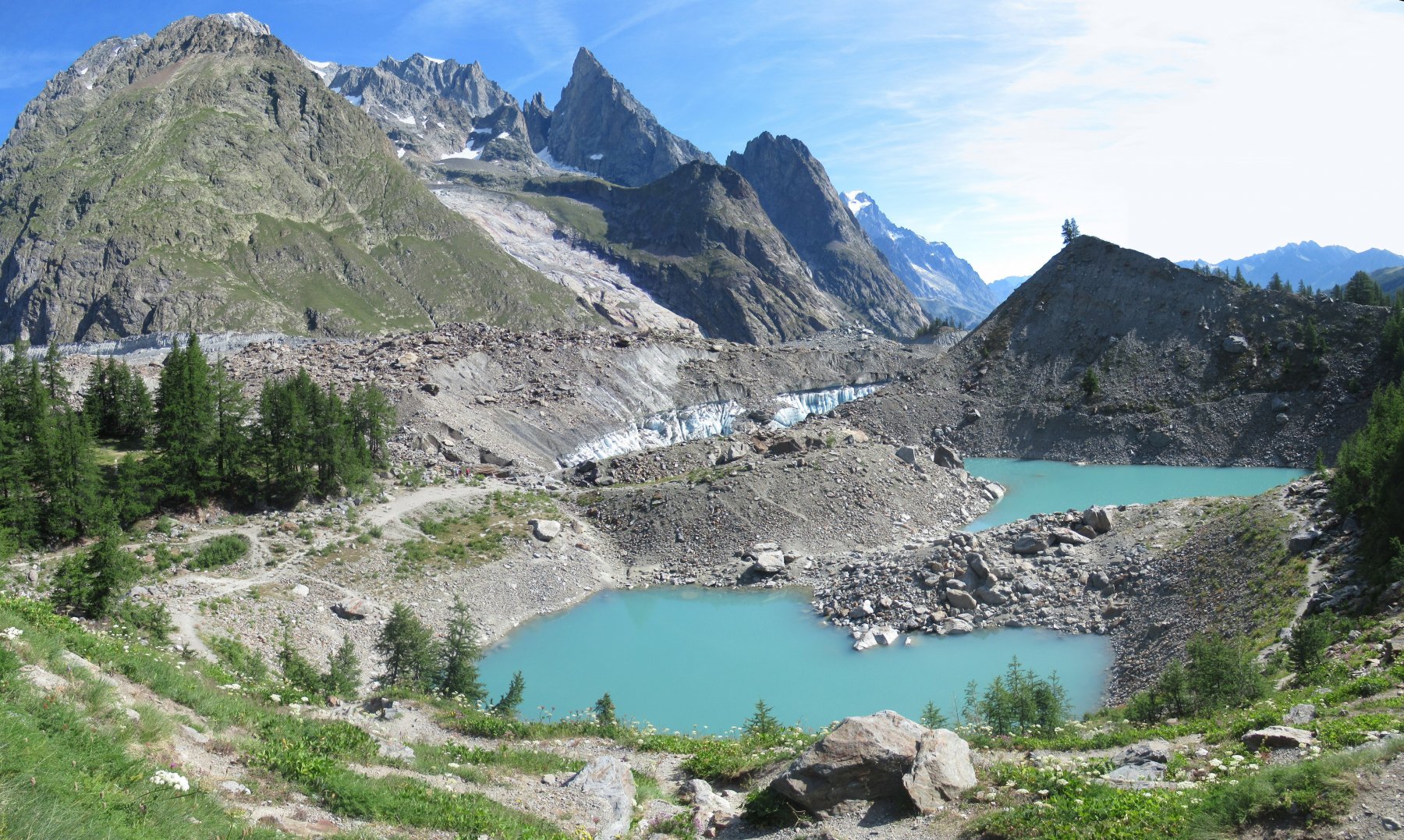
Passeggiata semplice, adatta anche ai bambini, a patto che non si scenda sul bordo del lago, soggetto a rischio "tsumani" per il costante distacco di blocchi di ghiaccio dalla morena
Avvicinamento
.
Descrizione
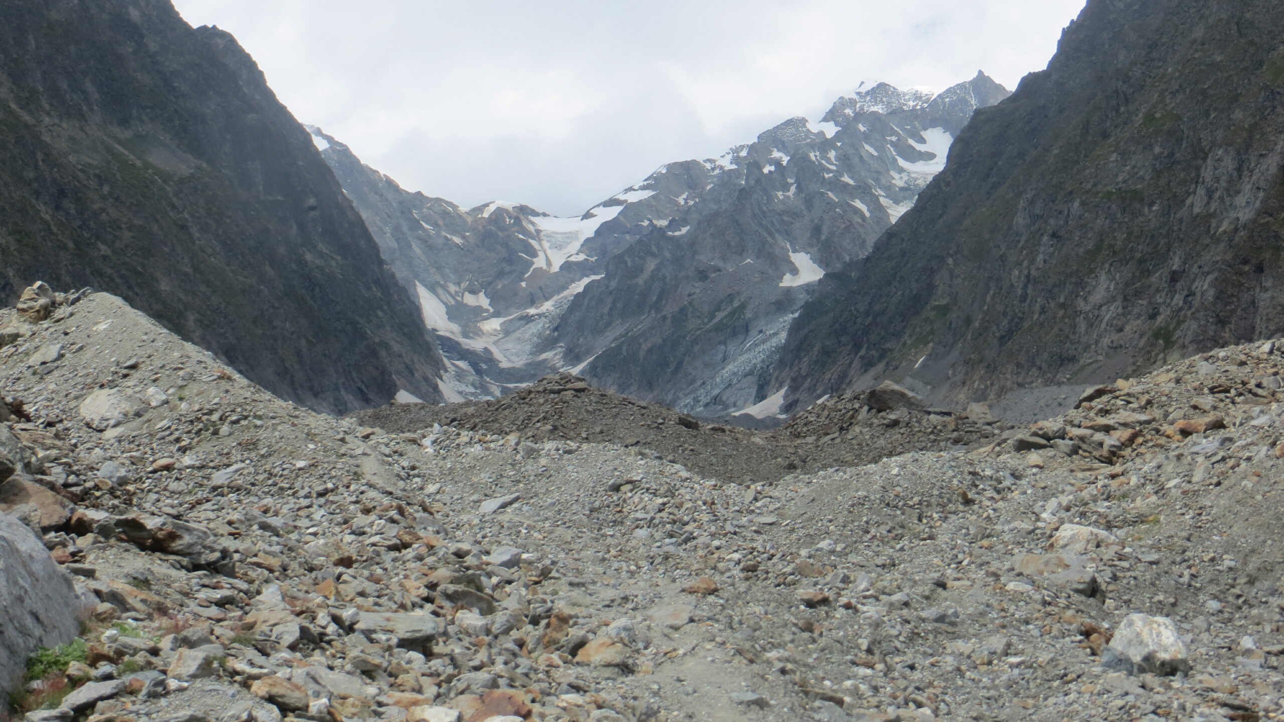
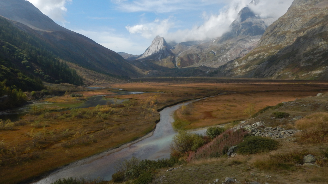
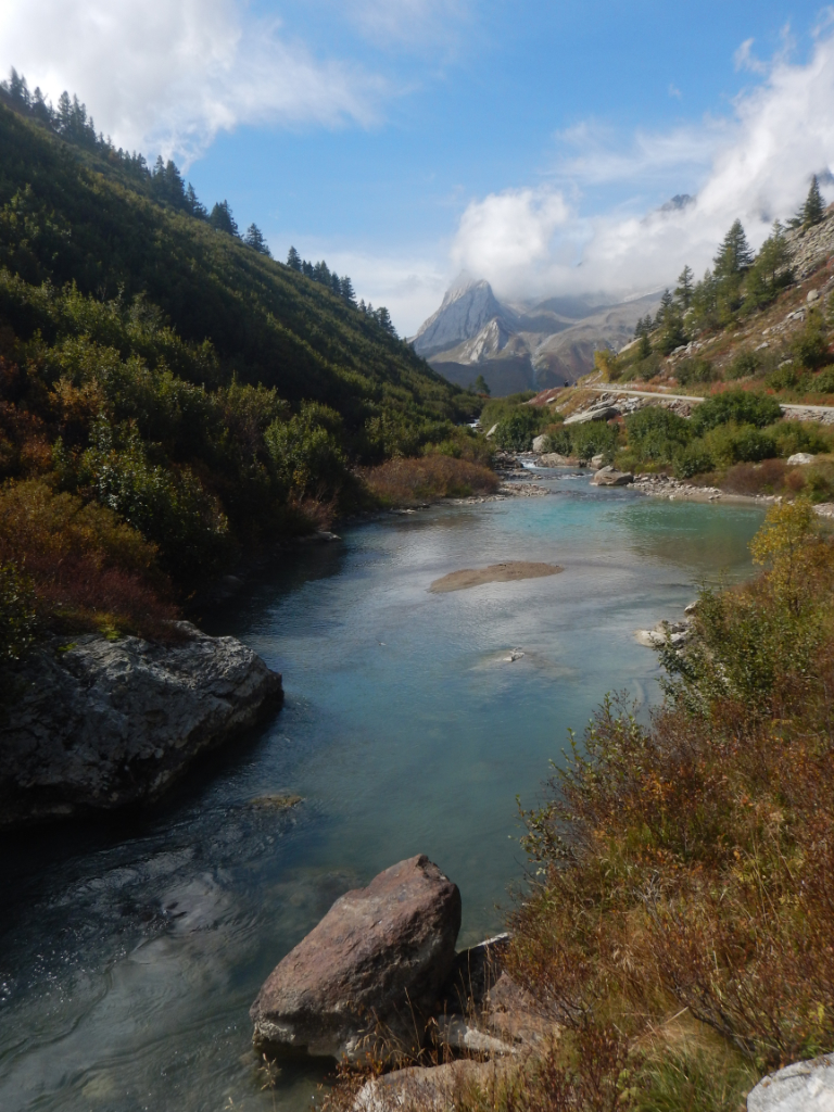
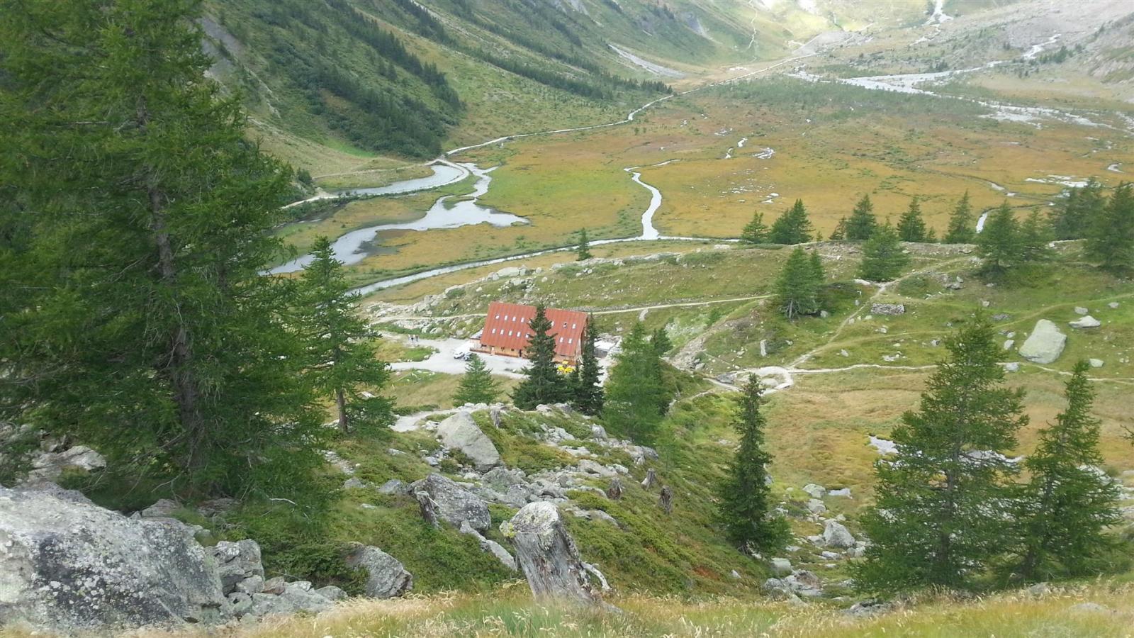
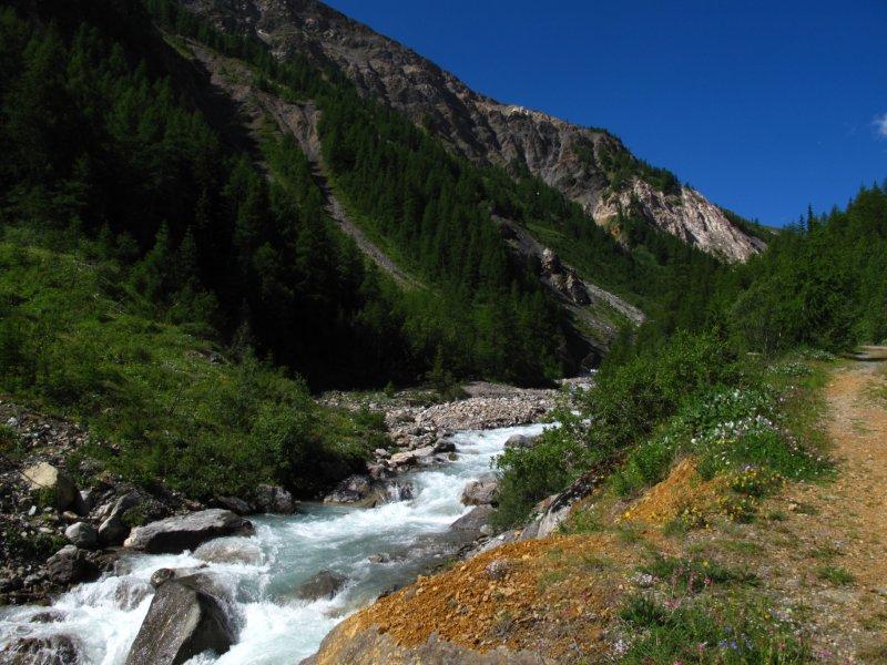
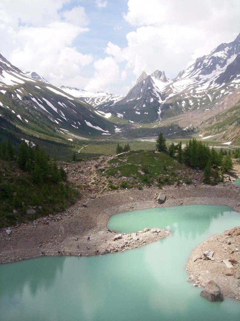
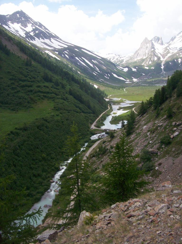
Lascicata l’auto, incamminarsi lungo la strada asfaltata fino al ponticello all’inizio del Lago del Combal. Proseguire sulla destra senza attraversare la Dora e seguendo i cartelli indicatori e i segni gialli in breve si raggiungere il bordo della morena nella quale è incastonato il lago
- Cartografia:
- IGM Monte Bianco 1:50000
Nelle vicinanze Mappa
Itinerari
17/08/2025 AO, Courmayeur D+ 550 m T Sud-Est
Soldini Elisabetta (Rifugio) da La Visaille
 0m
0m
18/08/2020 AO, Courmayeur D+ 1450 m E Varie
Fortin (Mont) da la Visaille, anello per il Colle Youla
 0m
0m
22/07/2021 AO, Courmayeur D+ 1347 m EE/F Tutte
Favre (Mont) o Pointes des Charmonts da la Visaille
 0m
0m
06/08/2020 AO, Courmayeur D+ 800 m E Varie
Maison Vieille (Rifugio) da La Visaille, Balcone della Val Veny
 0m
0m
09/08/2024 AO, Courmayeur D+ 1300 m E Varie
Fortin (Mont) da La Visaille, traversata a Dolonne per i Colli Chavannes, Berrio Blanc, Arp
 0m
0m
14/08/2021 AO, Courmayeur D+ 1388 m EE/F Sud
Rainetto Gino (Bivacco) da la Visaille
 0m
0m
06/09/2025 AO, Courmayeur D+ 855 m EE Sud-Ovest
Seigne (Col de la) da La Visaille, giro delle Pyramides Calcaires
 0m
0m
24/08/2022 AO, Courmayeur D+ 1099 m EE Varie
Fortin (Mont) da La Visaille
 0m
0m
17/06/2023 AO, Courmayeur D+ 855 m E Ovest
Seigne (Col de la) da La Visaille
 0m
0m
08/08/2019 AO, Courmayeur D+ 1050 m E Varie
Glaciers (Montagnes des) da la Visaille
 0m
0m