4.1Km
4.1Km

Note
 50m
2.2Km
2.2Km
2.2Km
2.2Km
2.2Km
2.2Km
2.2Km
2.2Km
2.2Km
50m
2.2Km
2.2Km
2.2Km
2.2Km
2.2Km
2.2Km
2.2Km
2.2Km
2.2Km
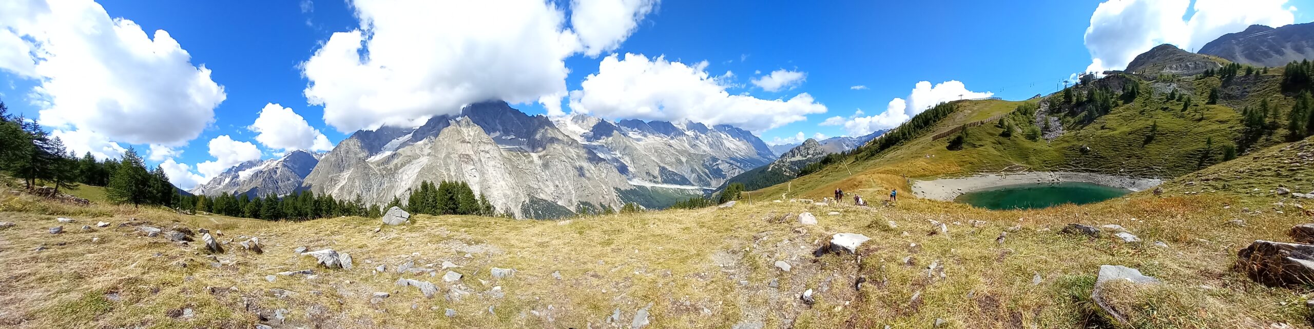
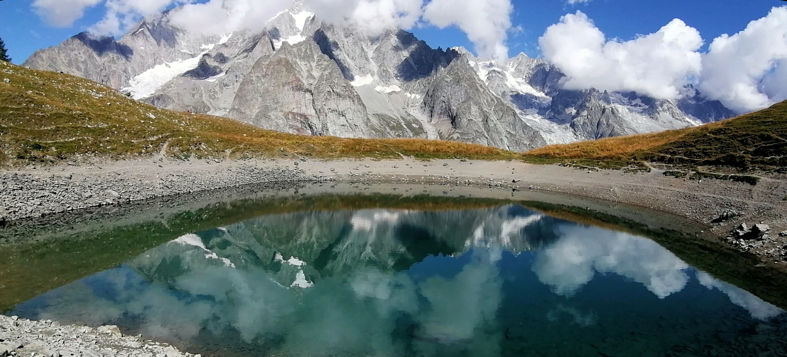
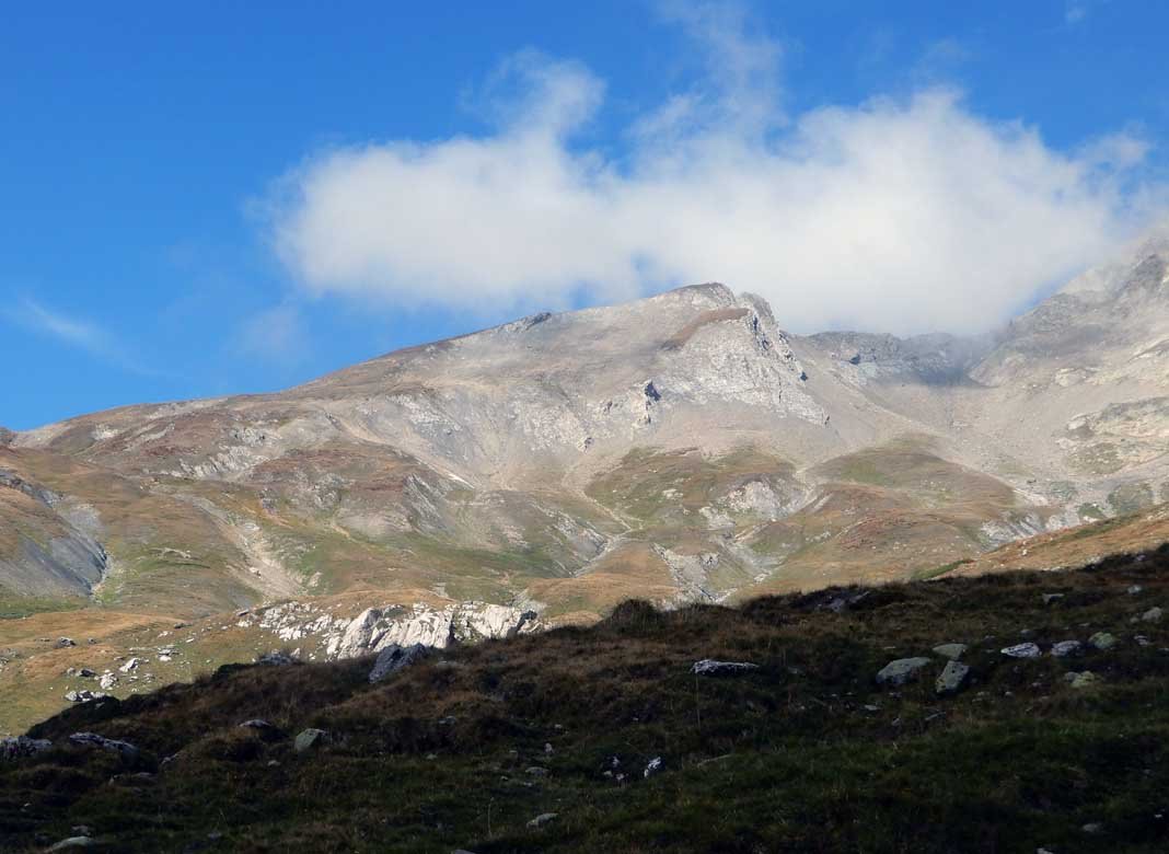
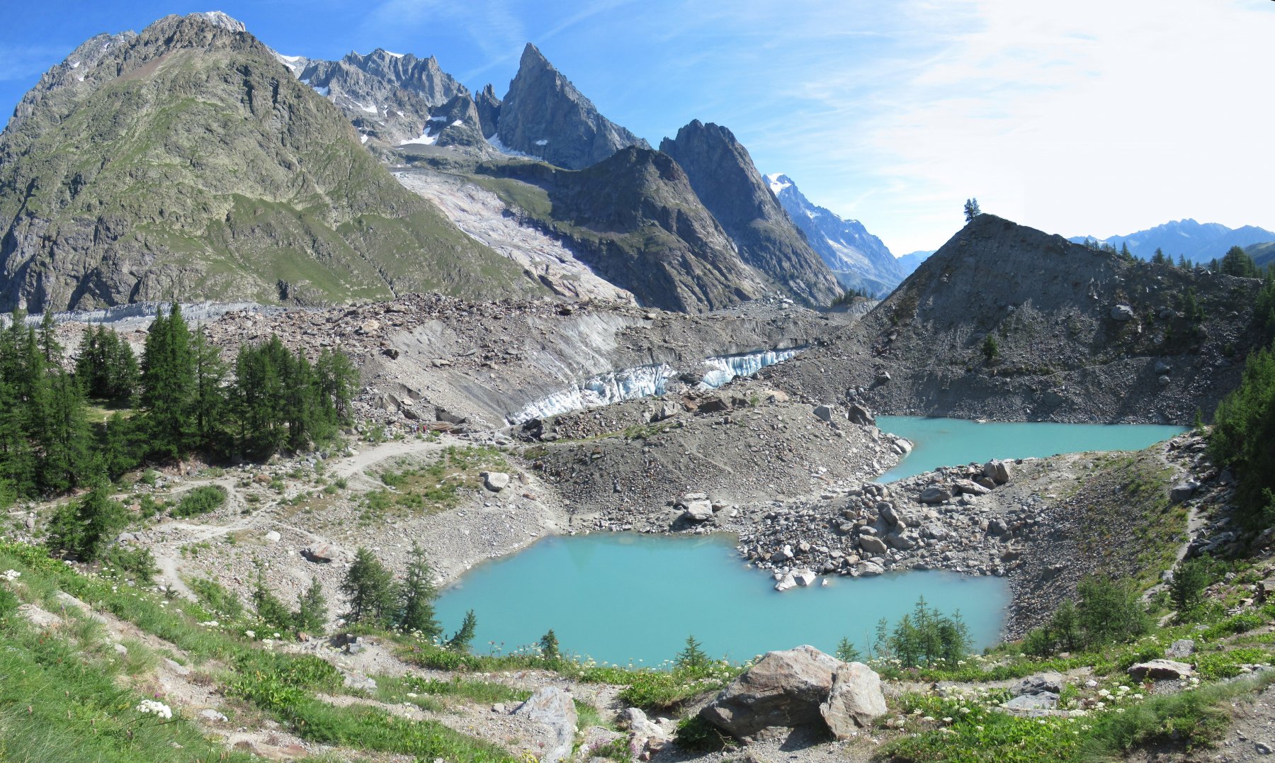
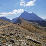
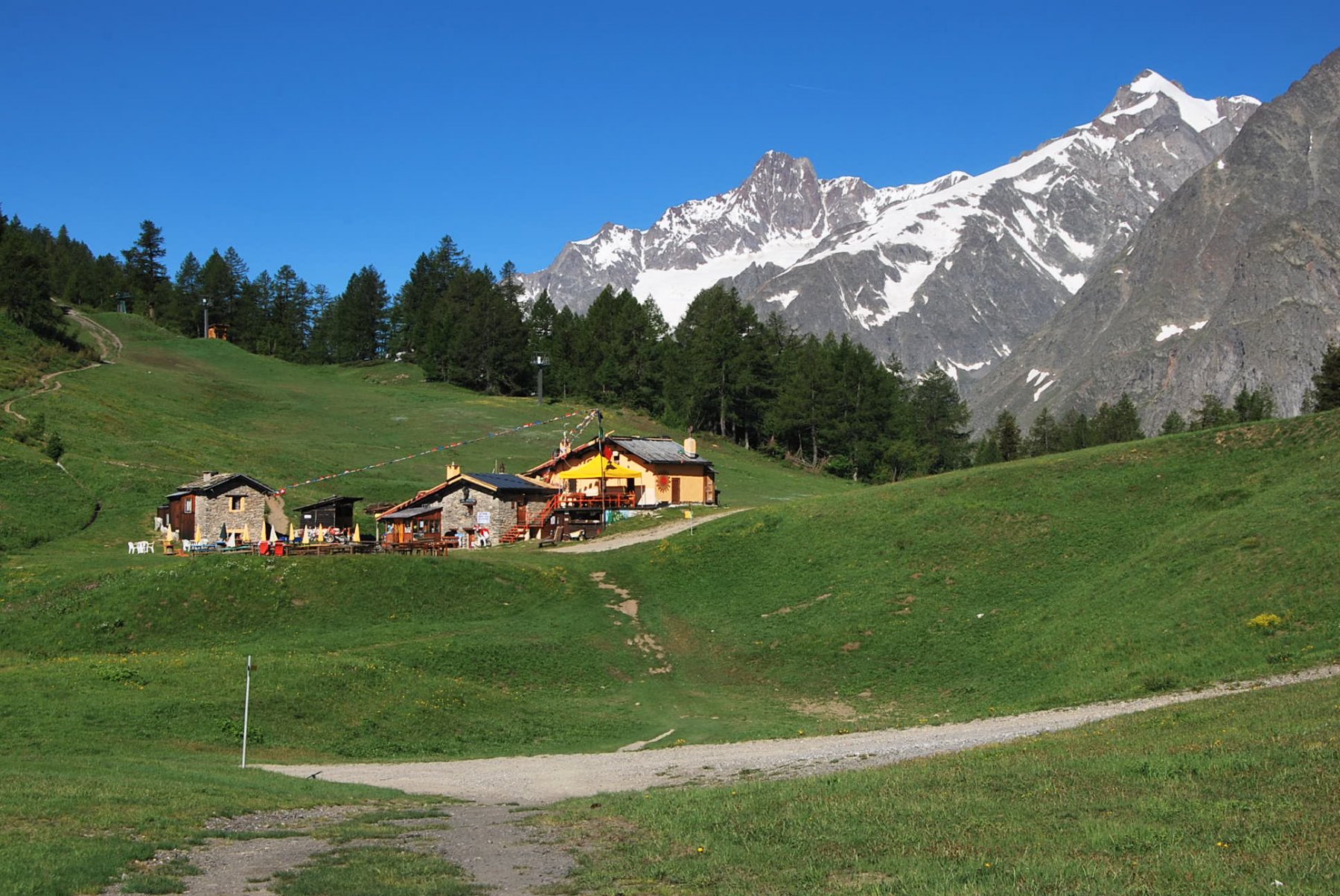
Facile escursione di un paio d'ore con splendido panorama sulla catena del Monte Bianco.
Avvicinamento
Da Courmayeur salire la Val Veny. Superata Notre Dame de la Guerrison svoltare a sx per Pre de Pascal e Rifugio CAI Uget Monte Bianco (indicazioni). Parcheggiare nei pressi del Rifugio.
Descrizione
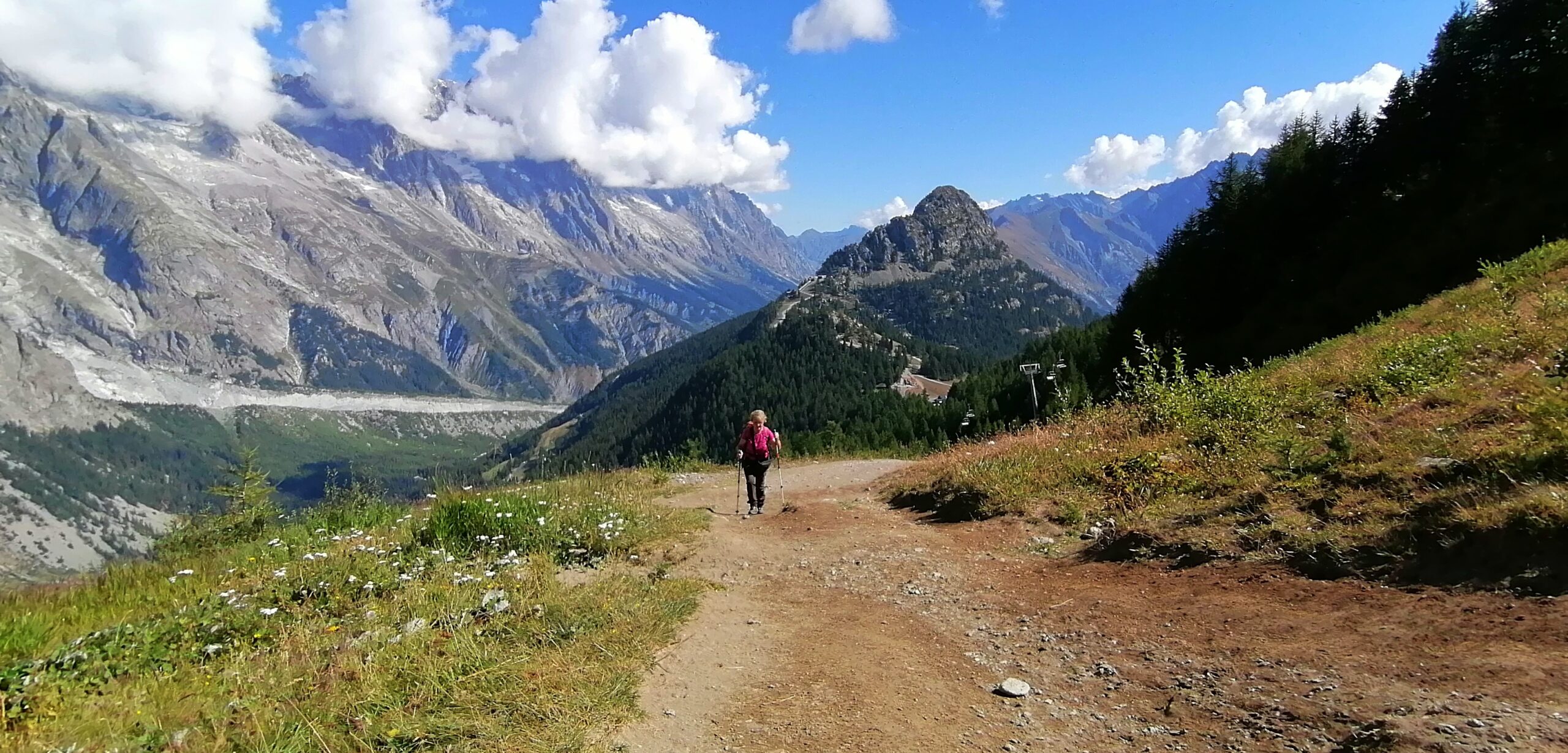
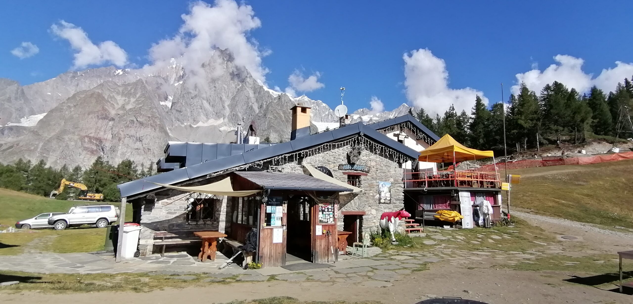
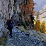
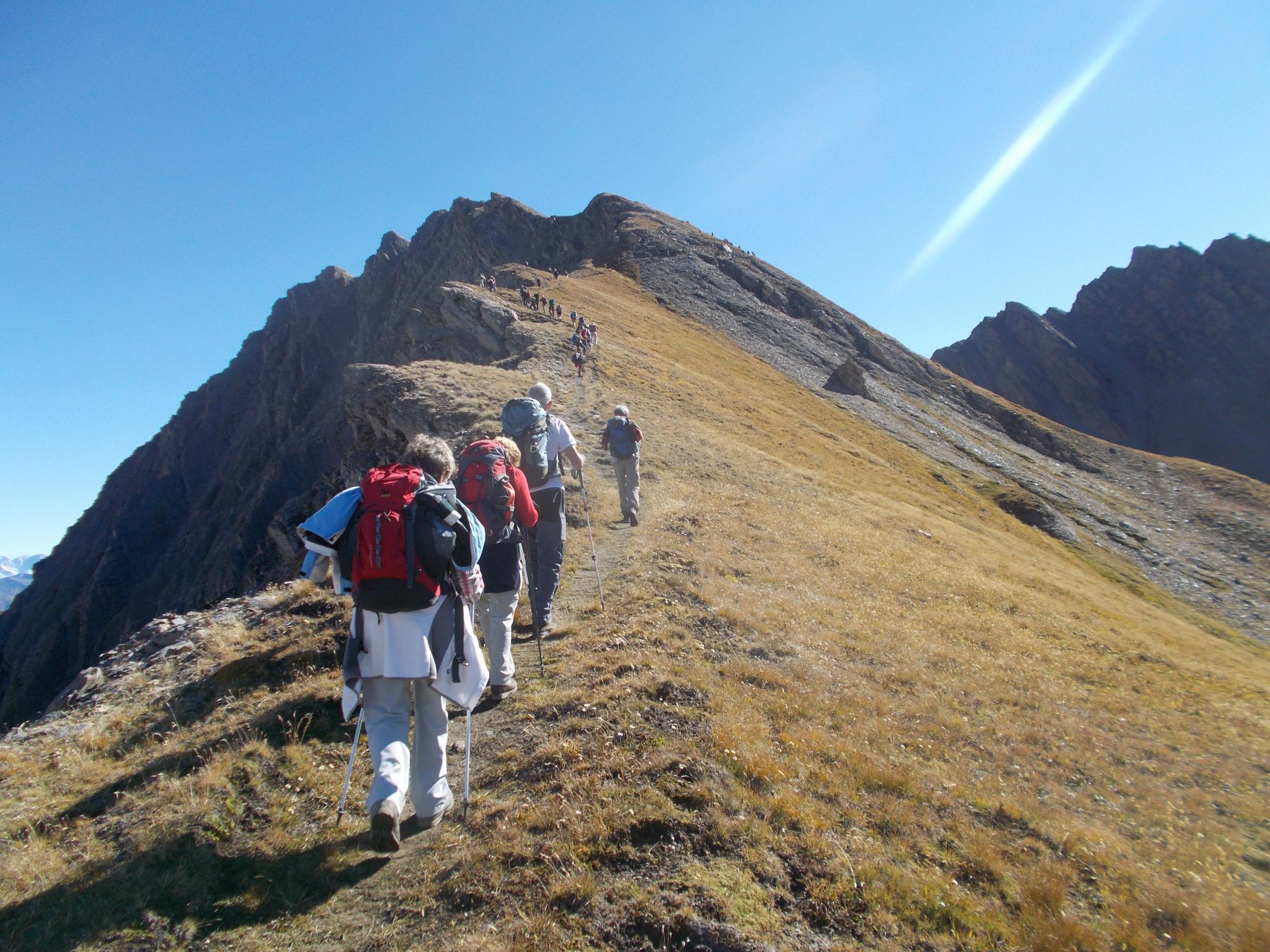
Appena dietro al Rifugio parte il sentiero 6 per il Lago Checrouit. Dopo un breve tratto si arriva su una pista da sci che si segue a dx per un lungo tratto fino ad un curvone dove si trova la palina con l’indicazione del sentiero 6. Si sale ripido nel bosco fino a sbucare nei pressi del Rifugio Maison Vieille. Si prosegue sull’Alta Via 2 con percorso panoramico fino al lago Checrouit. Ritorno per lo stesso itinerario.
Nelle vicinanze Mappa
Itinerari
22/08/2025 AO, Courmayeur D+ 509 m EE Nord-Ovest
Chetif (Mont) da Zerotta
 50m
50m
08/08/2019 AO, Courmayeur D+ 1050 m E Varie
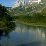
Glaciers (Montagnes des) da la Visaille
 2.2Km
2.2Km
17/08/2025 AO, Courmayeur D+ 550 m T Sud-Est
Soldini Elisabetta (Rifugio) da La Visaille
 2.2Km
2.2Km
09/08/2024 AO, Courmayeur D+ 1300 m E Varie
Fortin (Mont) da La Visaille, traversata a Dolonne per i Colli Chavannes, Berrio Blanc, Arp
 2.2Km
2.2Km
14/08/2021 AO, Courmayeur D+ 1388 m EE/F Sud
Rainetto Gino (Bivacco) da la Visaille
 2.2Km
2.2Km
24/08/2022 AO, Courmayeur D+ 1099 m EE Varie
Fortin (Mont) da La Visaille
 2.2Km
2.2Km
06/09/2025 AO, Courmayeur D+ 855 m EE Sud-Ovest
Seigne (Col de la) da La Visaille, giro delle Pyramides Calcaires
 2.2Km
2.2Km
06/08/2020 AO, Courmayeur D+ 800 m E Varie
Maison Vieille (Rifugio) da La Visaille, Balcone della Val Veny
 2.2Km
2.2Km
17/08/2025 AO, Courmayeur D+ 400 m E Sud-Est
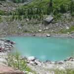
Miage (Lago del) da La Visaille per il Lago Verde
 2.2Km
2.2Km
24/07/2025 AO, Courmayeur D+ 333 m T Ovest
Miage (Lago del) da La Visaille per il Lago del Combal
 2.2Km
2.2Km