250m
250m
Avvicinamento
 50m
1.3Km
2.1Km
2.4Km
2.6Km
2.6Km
2.6Km
2.6Km
2.6Km
50m
1.3Km
2.1Km
2.4Km
2.6Km
2.6Km
2.6Km
2.6Km
2.6Km
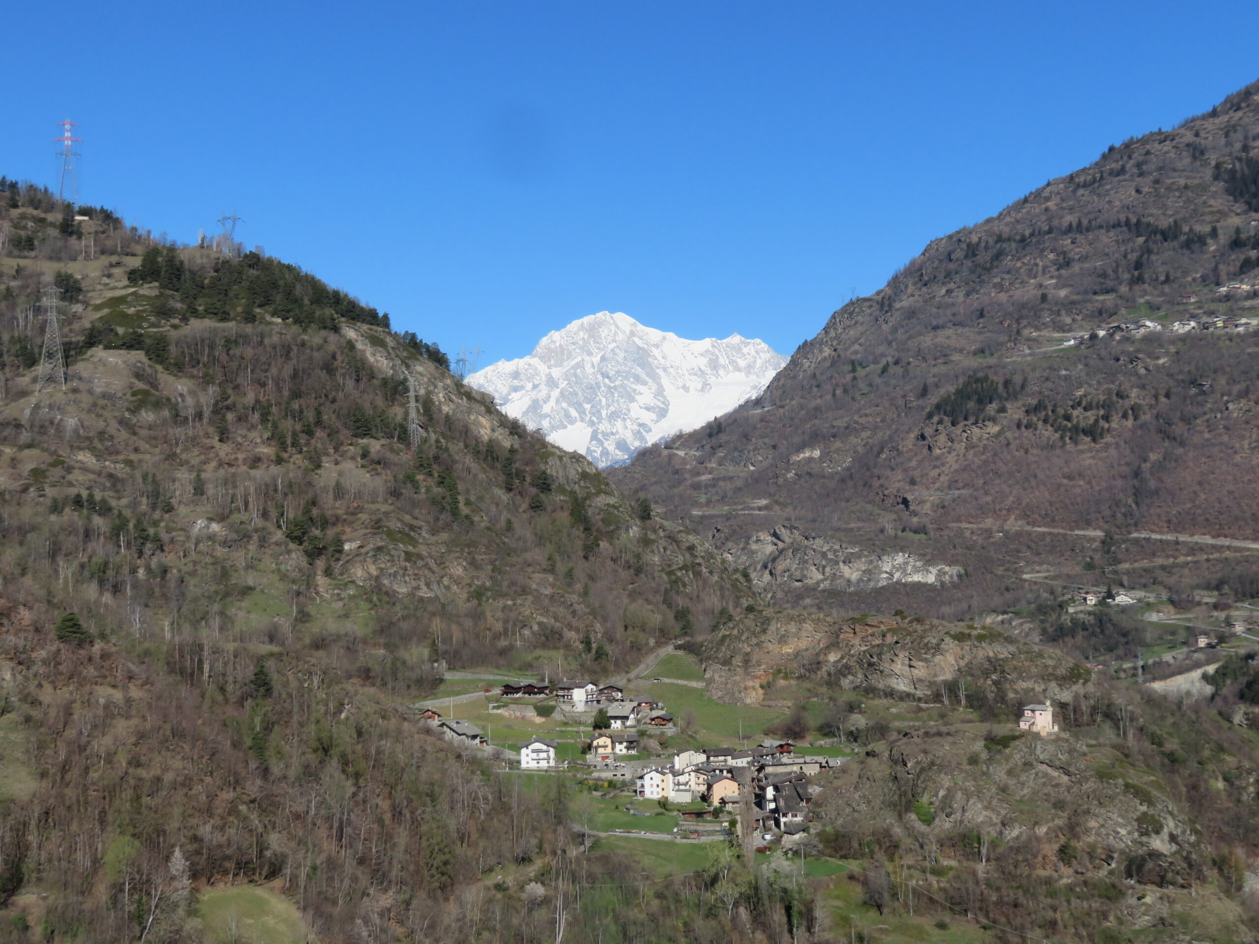
Dalla ss 26 alla rotonda di Arvier (Maurice Garin) tralasciare la prima uscita per Courmayeur e immettersi nella seconda per la regionale della Valgrisenche esattamente in via Corrado Gex .300 MT circa dopo la rotonda sulla sinistra troviamo 10,12 posti auto e li si parcheggia.
Descrizione
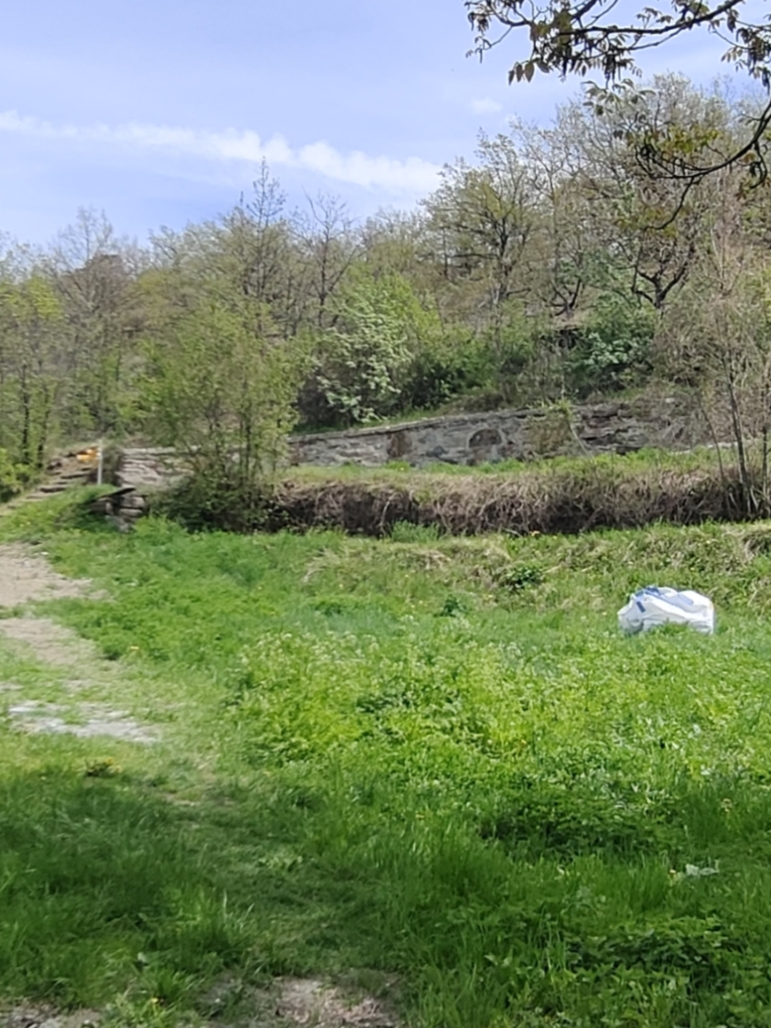
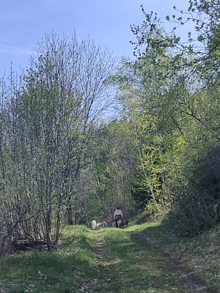
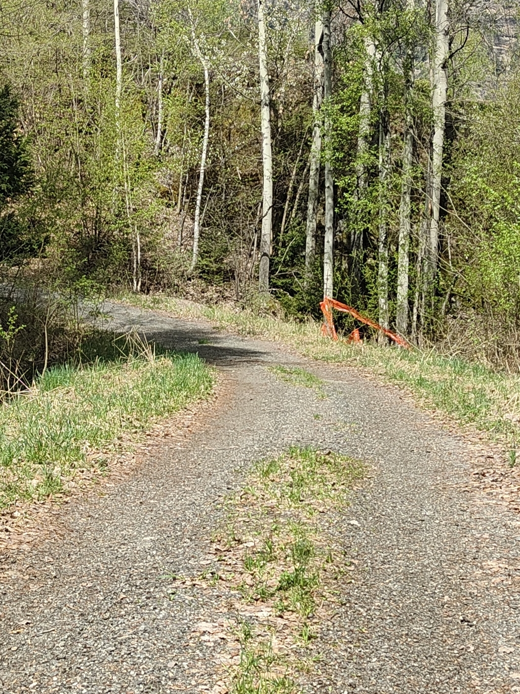
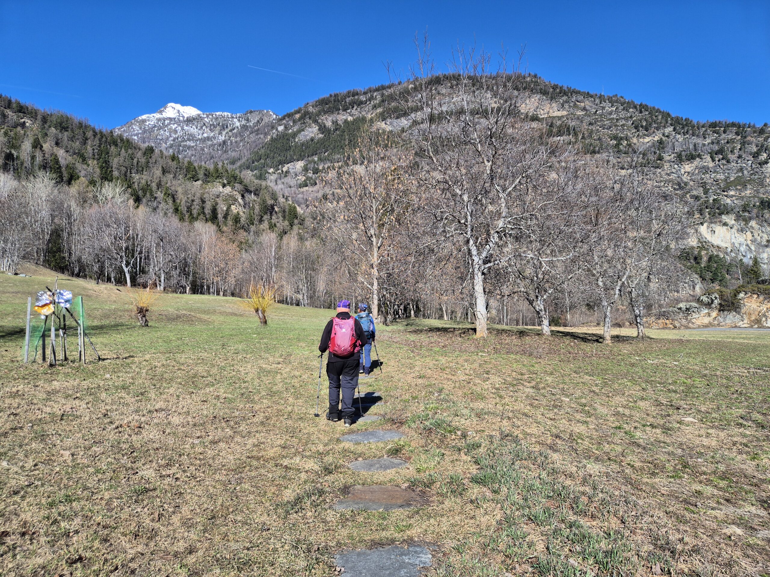
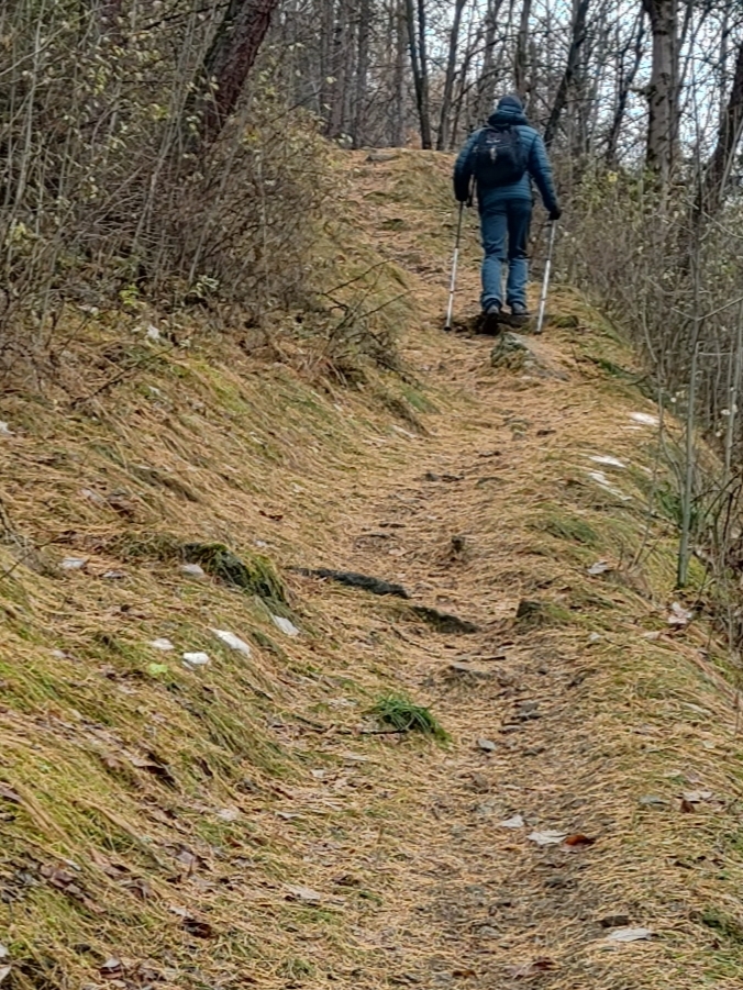
Dal posteggio si avanza una ventina di metri e si gira a sinistra in via lostan,si supera un sottopasso della ferrovia e sulla destra appare una sterrata con tanto di paline in alto.Da li parte il sentiero 1 , ma anche il 3 che va a introd. I primi 150D+ sono ripidi dopo si addolcisce dopo 1km circa si incontra una panchina gigante , dopo il sentiero spunta in strada e subito riparte sul fianco sinistro di essa ,si costeggia la strada su sentiero fino a Petit Haury.
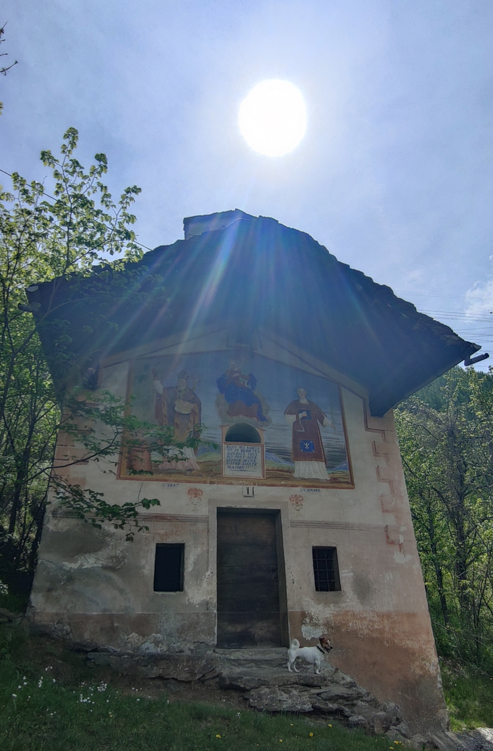
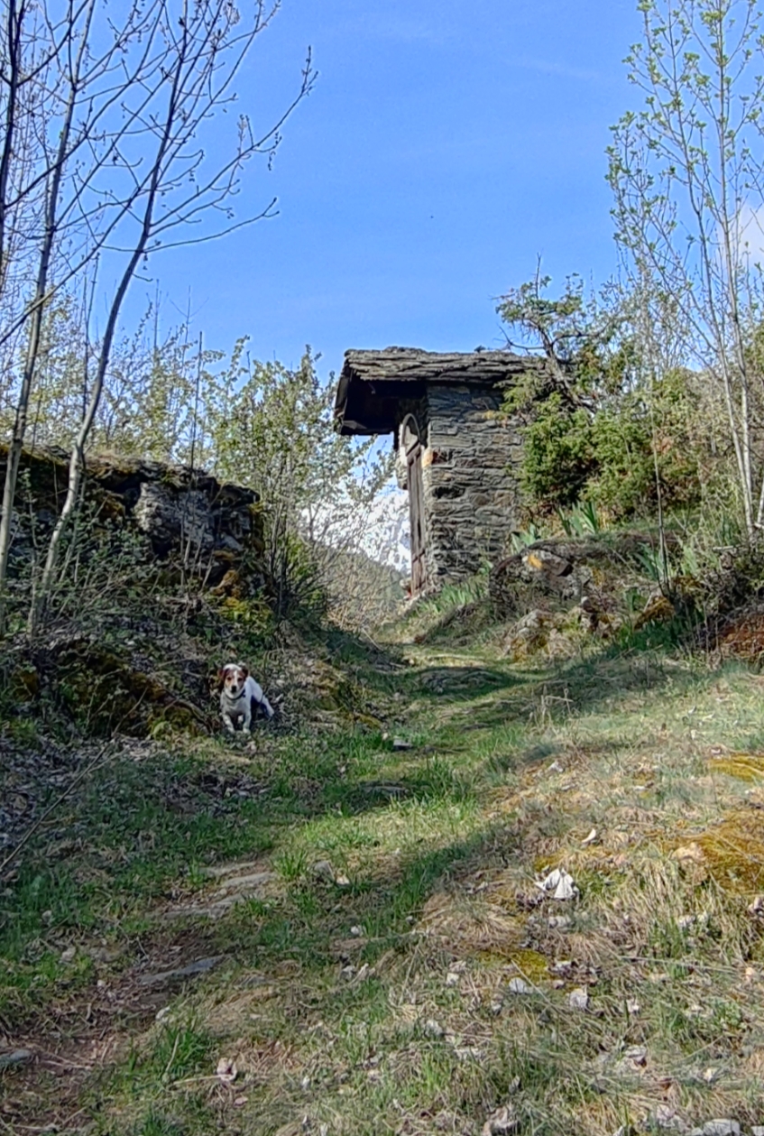
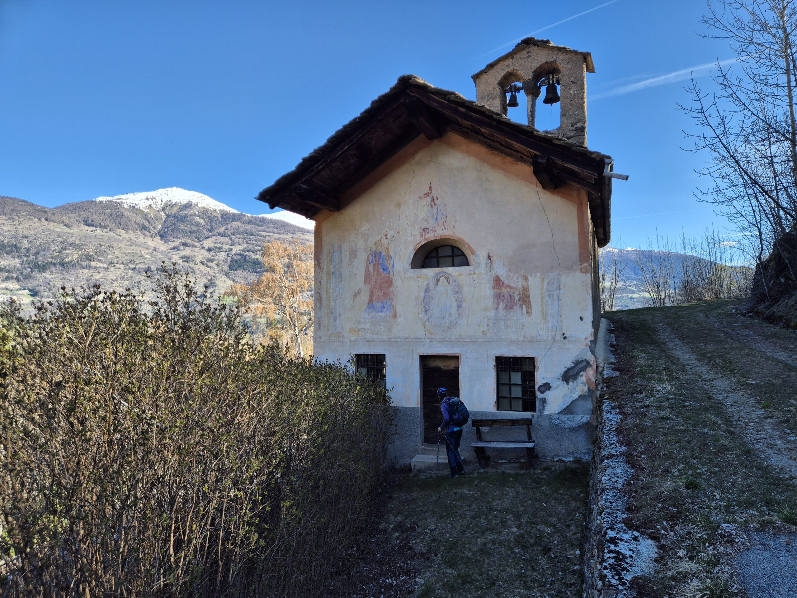
Si attraversa la piccola frazione in stato di abbandono (la via centrale)salvo poi arrivare al casotto col forno bello ristrutturato con casa a fianco. Superato Petit Haury ci si addentra nel bosco si arriva a una vecchia segheria con ruscello e di un piccolo mulino che alimentava la circolare. Si continua nel bosco con sentiero sempre ben segnalato a volte sulle pietre altre su piante fino a spuntare su strada al casotto garage dei vigili del fuoco. Si gira a destra e su strada in un attimo si è a Grand Haury.
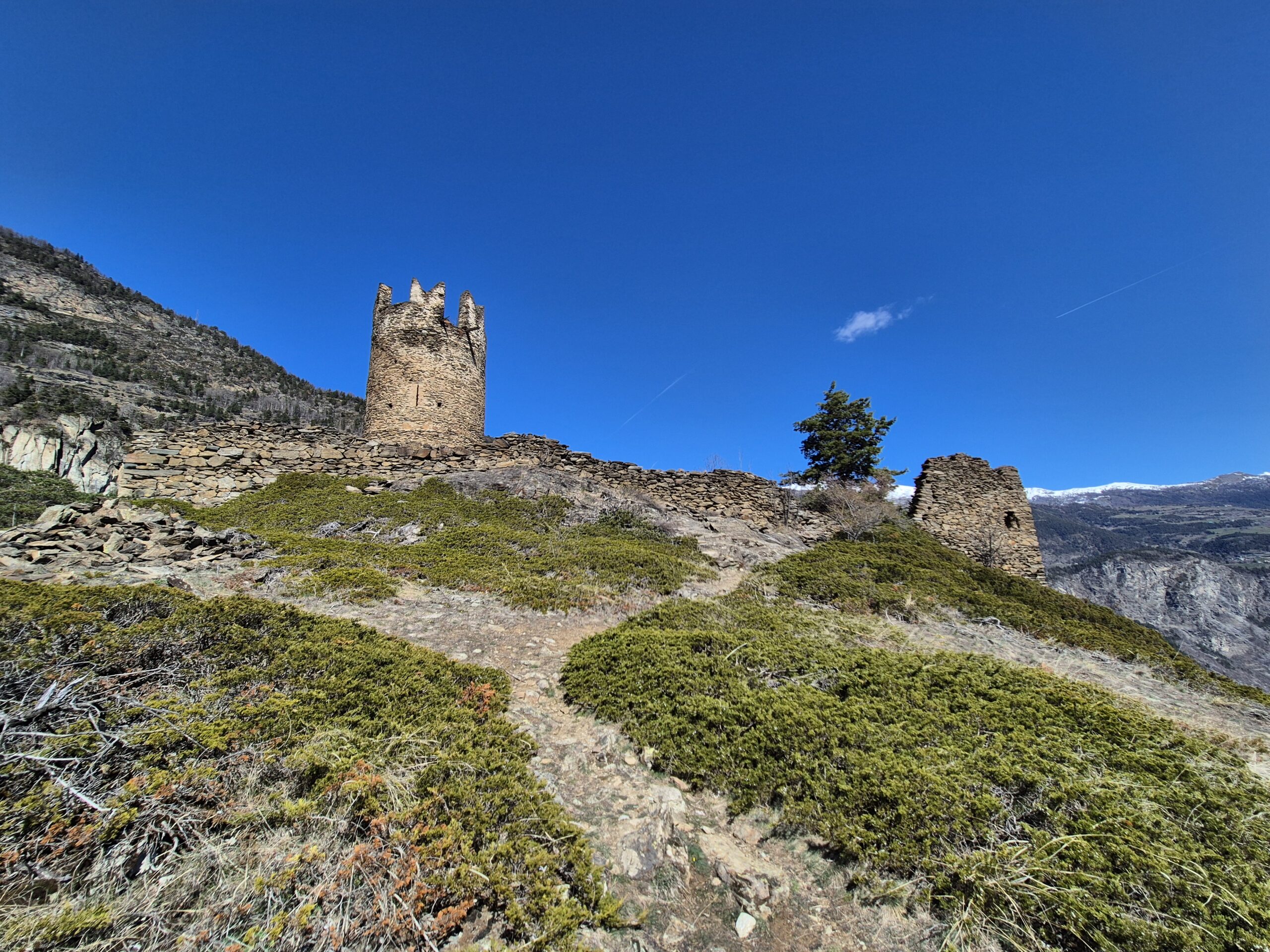
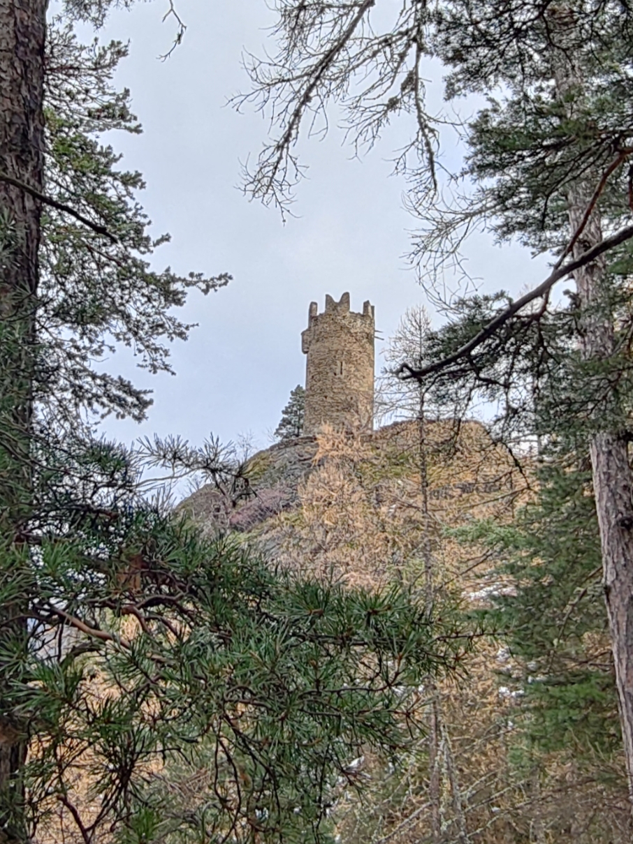
Da lì le paline indicano castello di Montmayeur 12 min troppo ottimisticamente (un po’ di più ce ne vogliono) finisce anche il 3 che prosegue a sinistra per Introd. Si entra nel borgo di Grand Haury(qui tutto nuovo e tirato a lucido)quasi subito su un pilastro e un’insegna Montmayeur (Col simbolino del castello)poggiata su una finestra, si gira a destra si supera il sottopasso e si continua per prati, si segue sempre il sentiero che si inoltra sempre più dentro il bosco,sembra di arrivare da un momento all’altro e invece non si arriva mai.
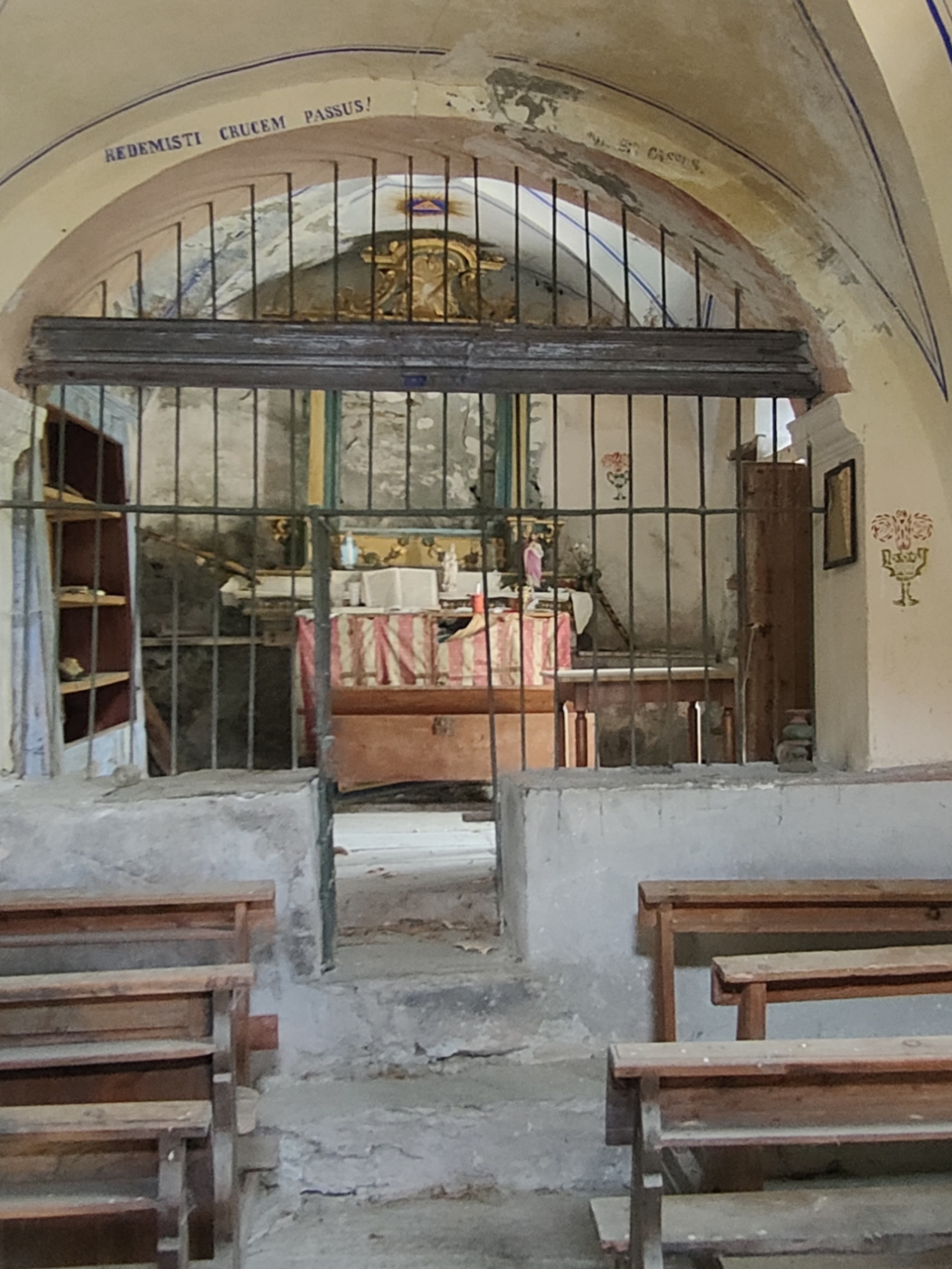
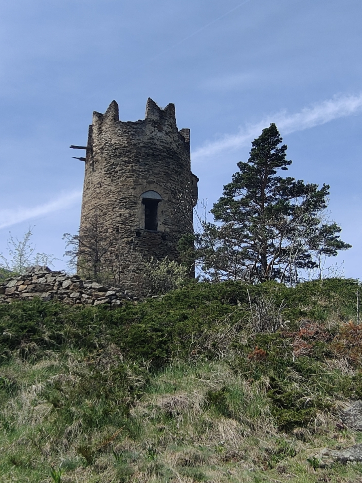
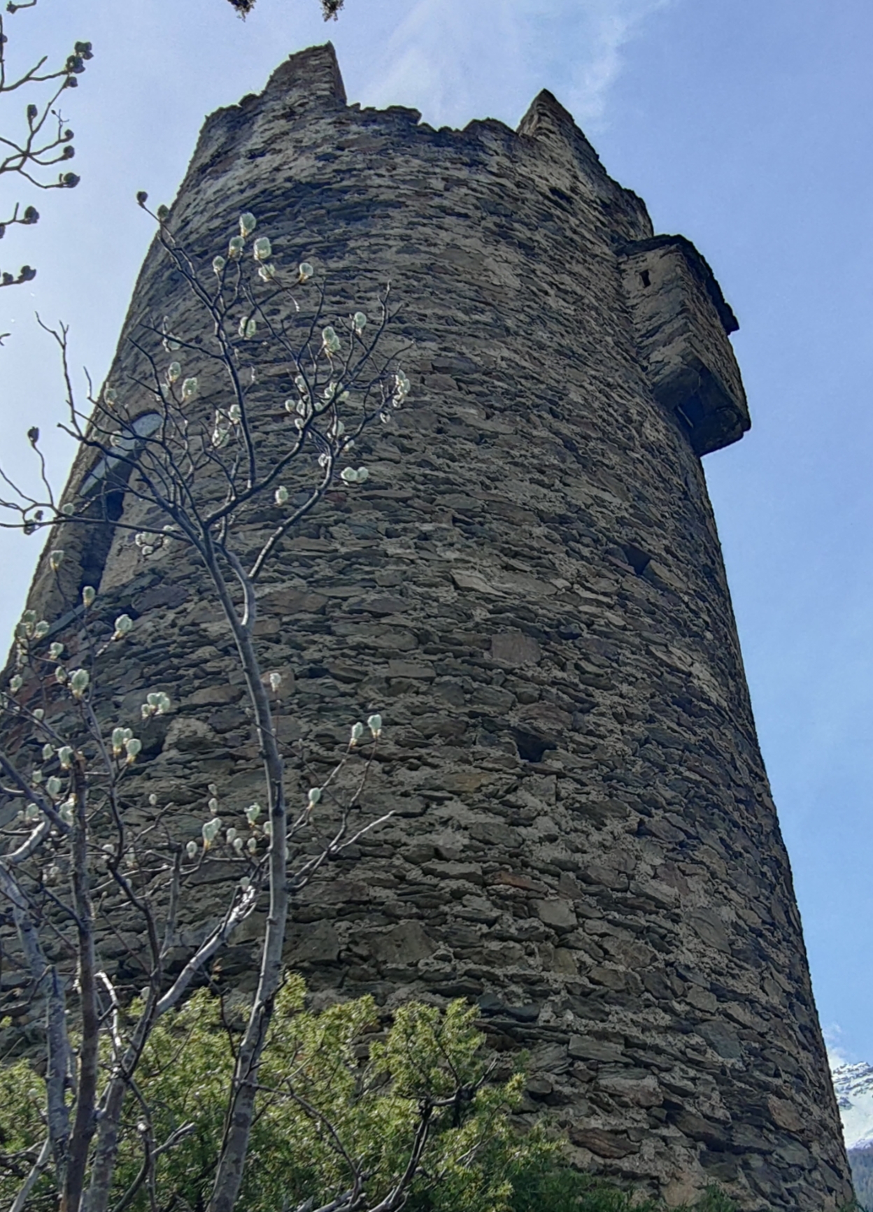
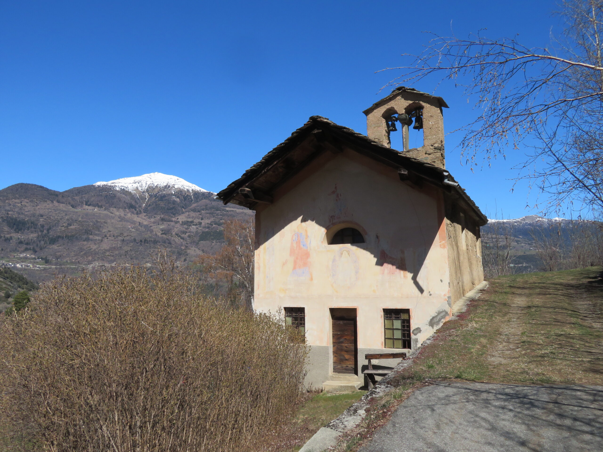
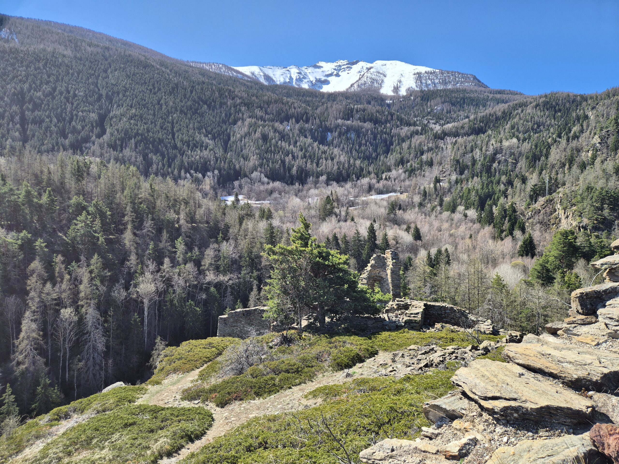
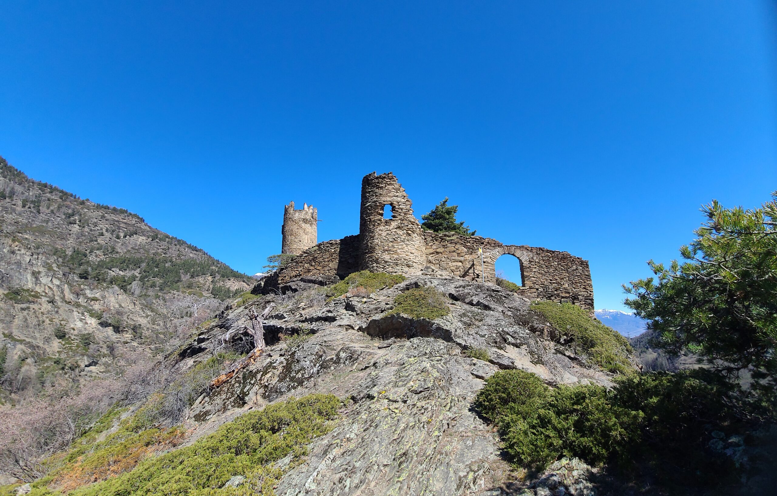
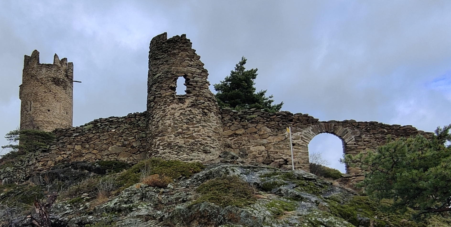
Ma a un certo punto ecco riapparire le paline col 2A che gira stretto a destra per il castello mentre a sinistra si scende verso La Ravoire. Ecco ancora 5 min ed ecco spuntare la torre del Castello per poi rivelarsi per intero lasciando a bocca aperta per lo spettacolo in questo angolo sperduto.
Nelle vicinanze Mappa
Itinerari
27/08/2011 AO, Arvier D+ 550 m E Sud
Saint Nicolas da Arvier, anello
 50m
50m
19/11/2025 AO, Arvier D+ 445 m E Nord
Saint Nicolas da Leverogne
 1.3Km
1.3Km
10/08/2009 AO, Saint-Nicolas D+ 100 m T Tutte
Bois de la Tour da Saint Nicolas
1.5Km
12/12/2025 AO, Arvier D+ 441 m T Est
Baisse Pierre (Frazione) da la Ravoire e l’oasi naturale di Lolair
 2.1Km
2.1Km
08/04/2026 AO, Introd D+ 350 m E Varie
Cammino Balteo tappa n.16 da Introd a Villeneuve
 2.4Km
2.4Km
10/08/2016 AO, Arvier D+ 578 m T Nord
Plan Bry da Les Combes, anello
 2.6Km
2.6Km
13/07/2013 AO, Introd D+ 913 m EE Est
Feluma (Alpe) da le Combes, anello
 2.6Km
2.6Km
05/09/2020 AO, Introd D+ 920 m E Nord
Cou (Plan) da Les Combes, sentiero dei Gipeti
 2.6Km
2.6Km
12/09/2023 AO, Introd D+ 1661 m EE Nord-Est
Merlo (Becca del) o di Chamin da les Combes per la cresta est
 2.6Km
2.6Km
13/10/2024 AO, Introd D+ 1100 m E Varie
Ane (Mont de l’) da les Combes, anello
 2.6Km
2.6Km