 1.5Km
1.5Km
Note
 1.5Km
1.5Km
2Km
3Km
3Km
3Km
3Km
3Km
3Km
3Km
1.5Km
1.5Km
2Km
3Km
3Km
3Km
3Km
3Km
3Km
3Km
Lungo tutto l'itinerario sono dislocati diversi pannelli didattici, di argomenti diversi, storia dell'agricoltura, flora, fauna, geologia.
Al di la' del tempo di percorrenza, tener conto di quello per leggere i tableau.
Questo itinerario puo' essere evnetualmente abbinato alla visita delle cascate di Frenay
Avvicinamento
Al di la' del tempo di percorrenza, tener conto di quello per leggere i tableau.
Questo itinerario puo' essere evnetualmente abbinato alla visita delle cascate di Frenay
.
Descrizione
A Saint Nicolas, percorrere in auto o a piedi la strada che porta alla chiesina, e parcheggiare in fondo al rettilineo; c’e’ un cartello che indica Belvedere, una fontana scavata in un tronco, in alto a destra, e di fianco, una cappella;
prima di iniziare l’itinerario, percorrere lo sterrato che porta al Belvedere, un bellissimo balcone che si affaccia su Arvier e sulla valle centrale, che ha un pannello in plastica con indicati i nomi delle vette piu’ importanti;
ritornare sui propri passi fino all’auto e salire il sentiero che passa a fianco della fontana, puntando ad una cappellina in memoria dei caduti; salire oltre la cappella fino ad un largo sentiero, e proseguire a sinistra; numerosi pannelli, e ampia vista su Grivola, Gran Nomenon a altre cime della destra orografica.
Si arriva quasi in piano ad una valletta, la si oltrepassa e si sale leggermente nel bosco, proseguendo fino ad un idrante; a questo punto si torna leggermente indietro e si scende sul sentiero alla vostra sinistra;
lo si puo’ percorrere fino alla strada tornando lungo il marciapiedi a destra all’auto, oppure si puo’ risalire al bivio successivo fino al colmo, e di qui scendere sul sentiero a sud ricongiungendosi all’itinerario di salita.
Nelle vicinanze Mappa
Itinerari
27/08/2011 AO, Arvier D+ 550 m E Sud
Saint Nicolas da Arvier, anello
 1.5Km
1.5Km
17/04/2026 AO, Arvier D+ 700 m E Nord
Montmayeur (Castello di) da Arvier
 1.5Km
1.5Km
19/11/2025 AO, Arvier D+ 445 m E Nord
Saint Nicolas da Leverogne
 2Km
2Km
13/02/2023 AO, Avise D+ 1184 m E Varie
Cammino Balteo tappa n.15 da Avise a Introd
 3Km
3Km
29/11/2025 AO, Avise D+ 500 m E Nord-Ovest
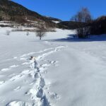
Saint Nicolas da Avise
 3Km
3Km
15/08/2024 AO, Saint-Pierre D+ 1250 m EE Sud
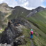
Leissè o Leysser (Punta) e Punta Aquiletta da Vetan
 3Km
3Km
01/06/2026 AO, Saint-Pierre D+ 1002 m E Sud
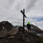
Leissè o Leysser (Punta) da Vetan
 3Km
3Km
09/07/2026 AO, Saint-Pierre D+ 1391 m EE Varie
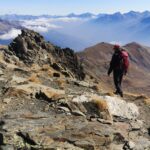
Fallère (Mont) e Bivacco Alessandro Pansa da Vetan, anello per il Lago Fallere
 3Km
3Km
07/07/2026 AO, Aosta D+ 715 m E Sud
Mont Fallère (Rifugio) da Vetan
 3Km
3Km
28/09/2025 AO, Saint-Pierre D+ 1240 m EE Sud-Est
Vertosan (Monte Rosso di) da Vetan
 3Km
3Km

