2.7Km
2.7Km
Avvicinamento
 50m
50m
50m
50m
50m
1.5Km
2.2Km
2.6Km
2.6Km
3.1Km
50m
50m
50m
50m
50m
1.5Km
2.2Km
2.6Km
2.6Km
3.1Km
.
Descrizione
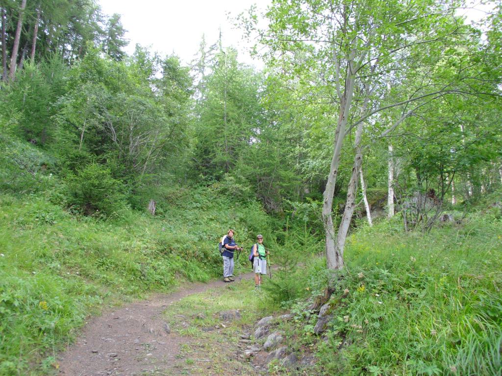
Dal parcheggino di Les Combes si passa davanti alla chiesetta di S. Lorenzo ed il museo dedicato a Papa Giovanni Paolo II, proseguendo si vedono i segnavia dei vari sentieri, si percorre il N. 5 largo e sempre ben marcato fino al raggiungimento di Plan Bry, luogo molto frequentato dal Papa stesso, bei panorami verso il Monte Bianco.
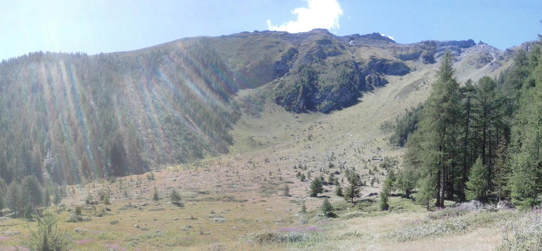
Discesa sulla poderale che parte dal Plan Bry (lato Valgrisenche) toccando vari alpeggi e si ritorna a Les Combes, chiudendo l’anello, in alternativa nell’ultimo tratto si può utilizzare il sentiero n.5A.
Nelle vicinanze Mappa
Itinerari
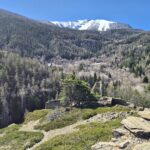
05/09/2020 AO, Introd D+ 920 m E Nord
Cou (Plan) da Les Combes, sentiero dei Gipeti
 50m
50m
13/07/2013 AO, Introd D+ 913 m EE Est
Feluma (Alpe) da le Combes, anello
 50m
50m
13/10/2024 AO, Introd D+ 1100 m E Varie
Ane (Mont de l’) da les Combes, anello
 50m
50m
11/10/2025 AO, Arvier D+ 420 m E Varie
Bouque (Croux de) da Les Combes
 50m
50m
20/06/2026 AO, Introd D+ 1661 m EE Nord-Est
Merlo (Becca del) o di Chamin da les Combes per la cresta est
 50m
50m
12/12/2025 AO, Arvier D+ 441 m T Est
Baisse Pierre (Frazione) da la Ravoire e l’oasi naturale di Lolair
 1.5Km
1.5Km
19/11/2025 AO, Arvier D+ 445 m E Nord
Saint Nicolas da Leverogne
 2.2Km
2.2Km
17/04/2026 AO, Arvier D+ 700 m E Nord
Montmayeur (Castello di) da Arvier
 2.6Km
2.6Km
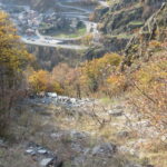
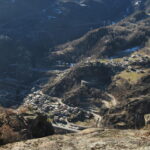
27/08/2011 AO, Arvier D+ 550 m E Sud
Saint Nicolas da Arvier, anello
 2.6Km
2.6Km
13/02/2023 AO, Avise D+ 1184 m E Varie
Cammino Balteo tappa n.15 da Avise a Introd
 3.1Km
3.1Km