1.6Km
1.6Km

Note
Storico
 4Km
4.2Km
5.6Km
5.8Km
5.8Km
6.1Km
6.4Km
7Km
7.1Km
4Km
4.2Km
5.6Km
5.8Km
5.8Km
6.1Km
6.4Km
7Km
7.1Km
1.6Km
2.8Km
2.8Km
2.8Km
3.9Km
5.3Km
5.5Km
6.1Km
6.6Km
6.7Km
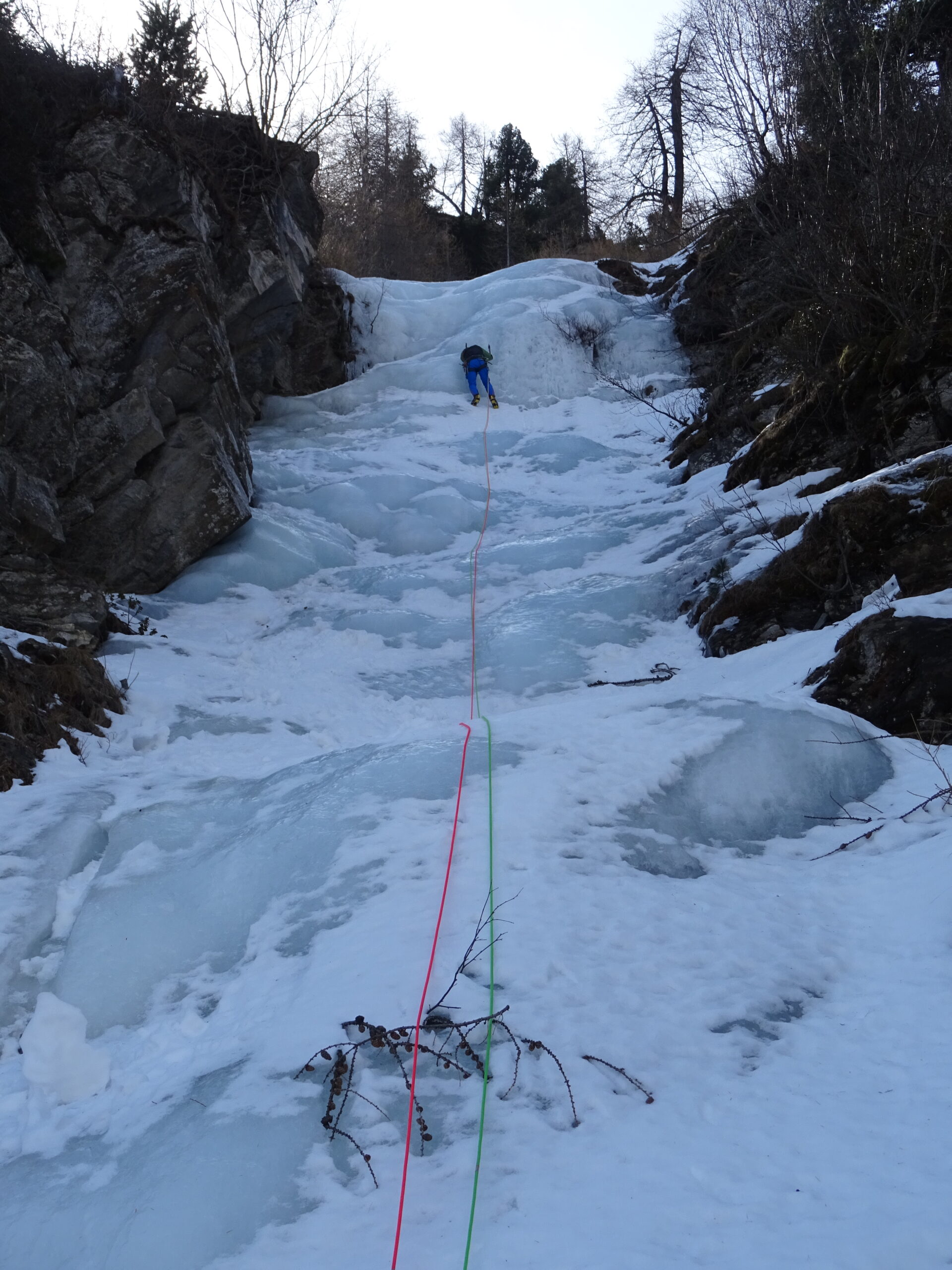
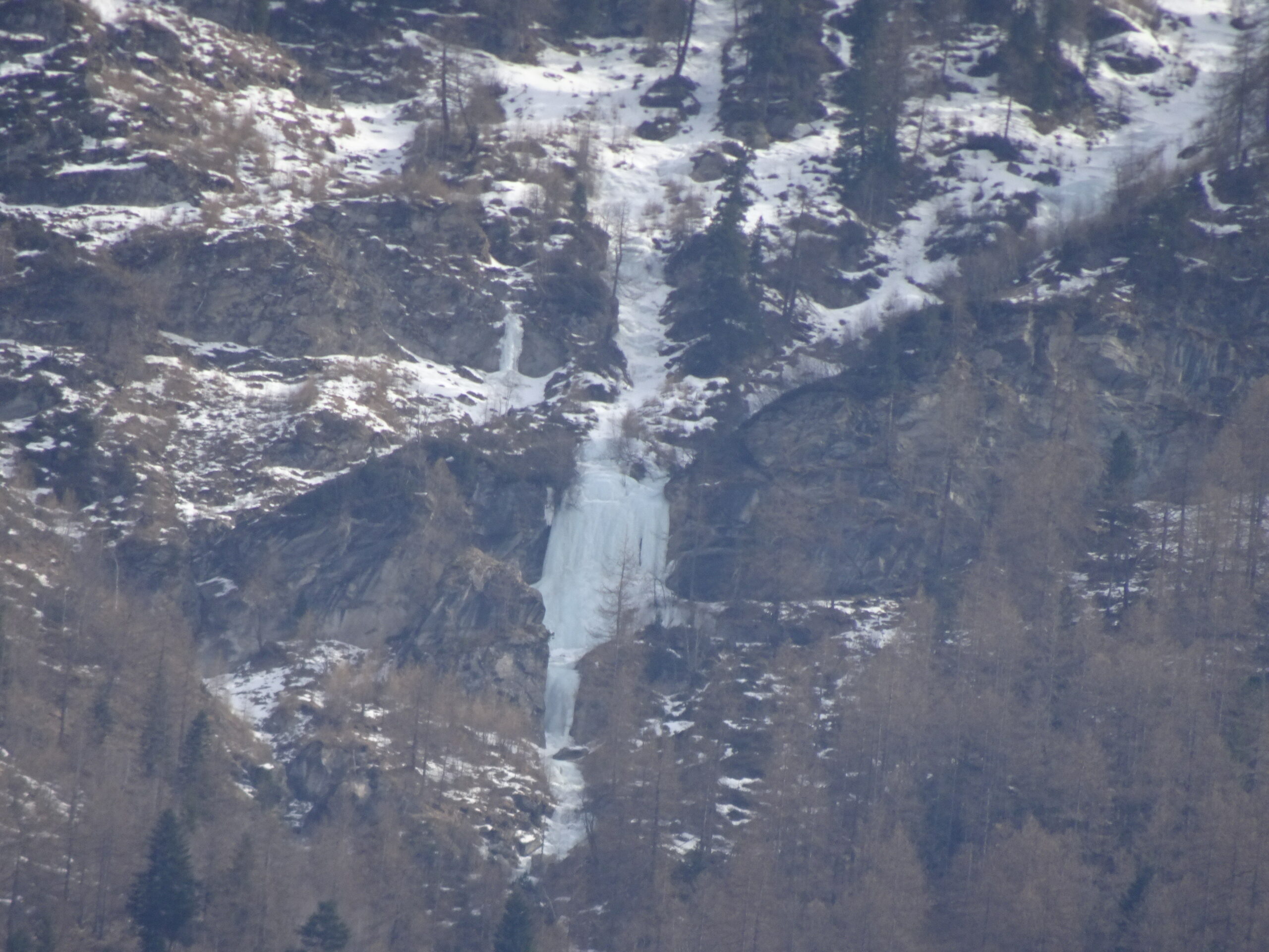
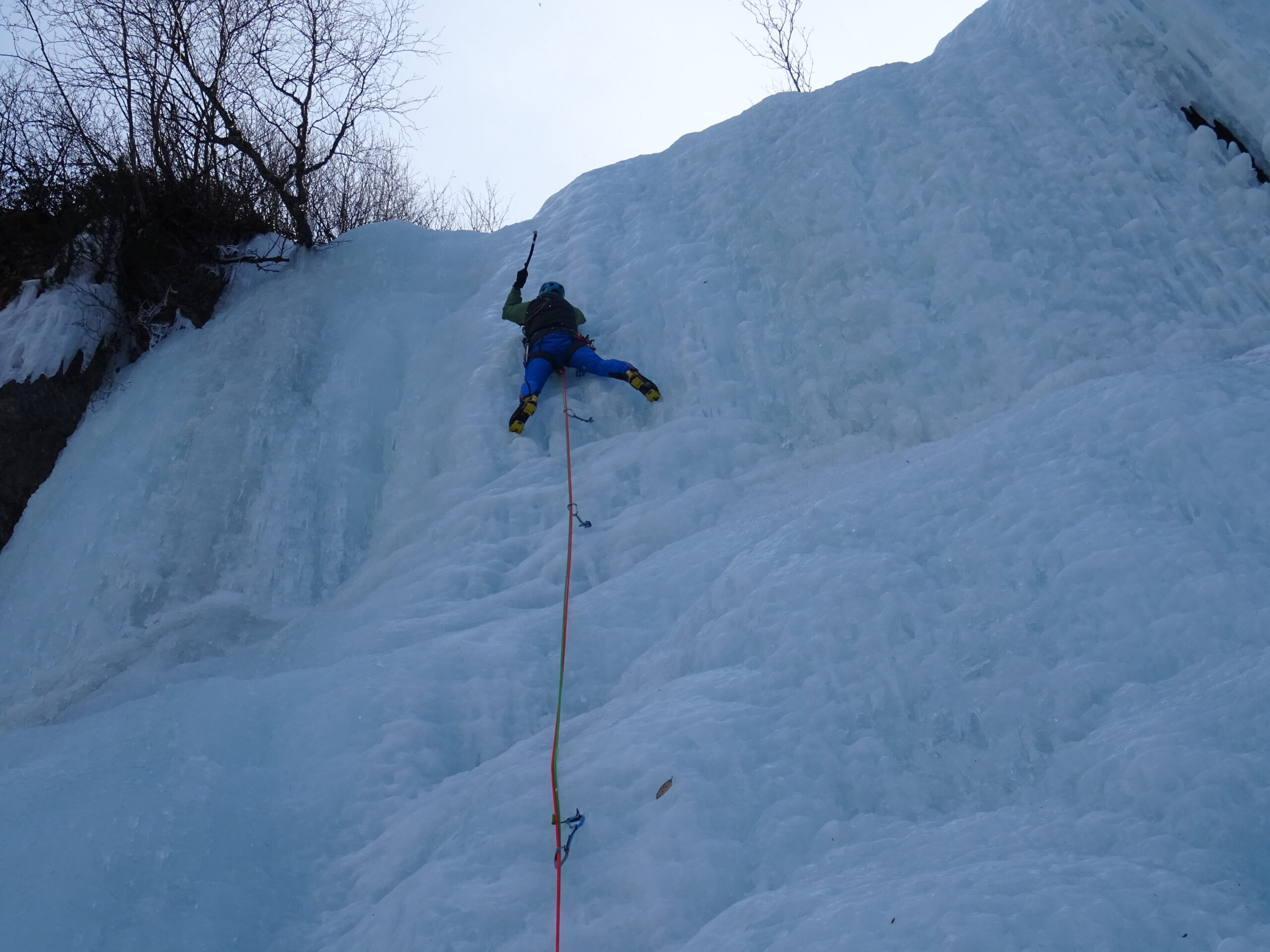
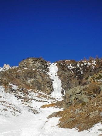
Bella cascata, poco o nulla frequentata anche se visibile dalla statale e dal paese di Exilles (da cui si possono verificare le condizioni). L'avvicinamento è ripido e redditizio e anche il tratto fuori sentiero non è eccessivamente scomodo (ma necessita comunque di assenza pressoché totale di neve). La cascata, vista la quota e l'esposizione, si forma presto ad inizio stagione rimane formata per lunghi periodi (come testimonia la data della prima salita).
Avvicinamento
Da Exilles raggiungere la vecchia stazione ferroviaria in dx idrografica (park abbandonato molto spazioso). Prendere il sentiero con indicazioni per le baite di Godissard (o Coudissard), che si raggiungono dopo circa 30-40min di sentiero. Dalle baite continuare lungo il sentiero verso sud (indicazioni grangia Ruine): la traccia prosegue molto ripida lungo la dorsale in sx idrografica del vallone di Godissard. A q. 1670m circa, in corrispondenza di una radura e poco prima che la traccia devi decisamente a dx verso sud-ovest, abbandonare il sentiero ed iniziare a traversare verso il vallone principale. Seguire tracce sporadiche di animali fino a q. 1770m ca, dove per attraversare una comba è necessario individuare un passaggio obbligato con debole traccia di animali. Quindi dopo un pianoro si raggiunge la dorsale che delimita il flusso principale della cascata, che si raggiunge a q. 1855m (coordinate 45°04'31.3"N 6°56'19.3"E, contare 2-2h30 dall'auto).
Descrizione
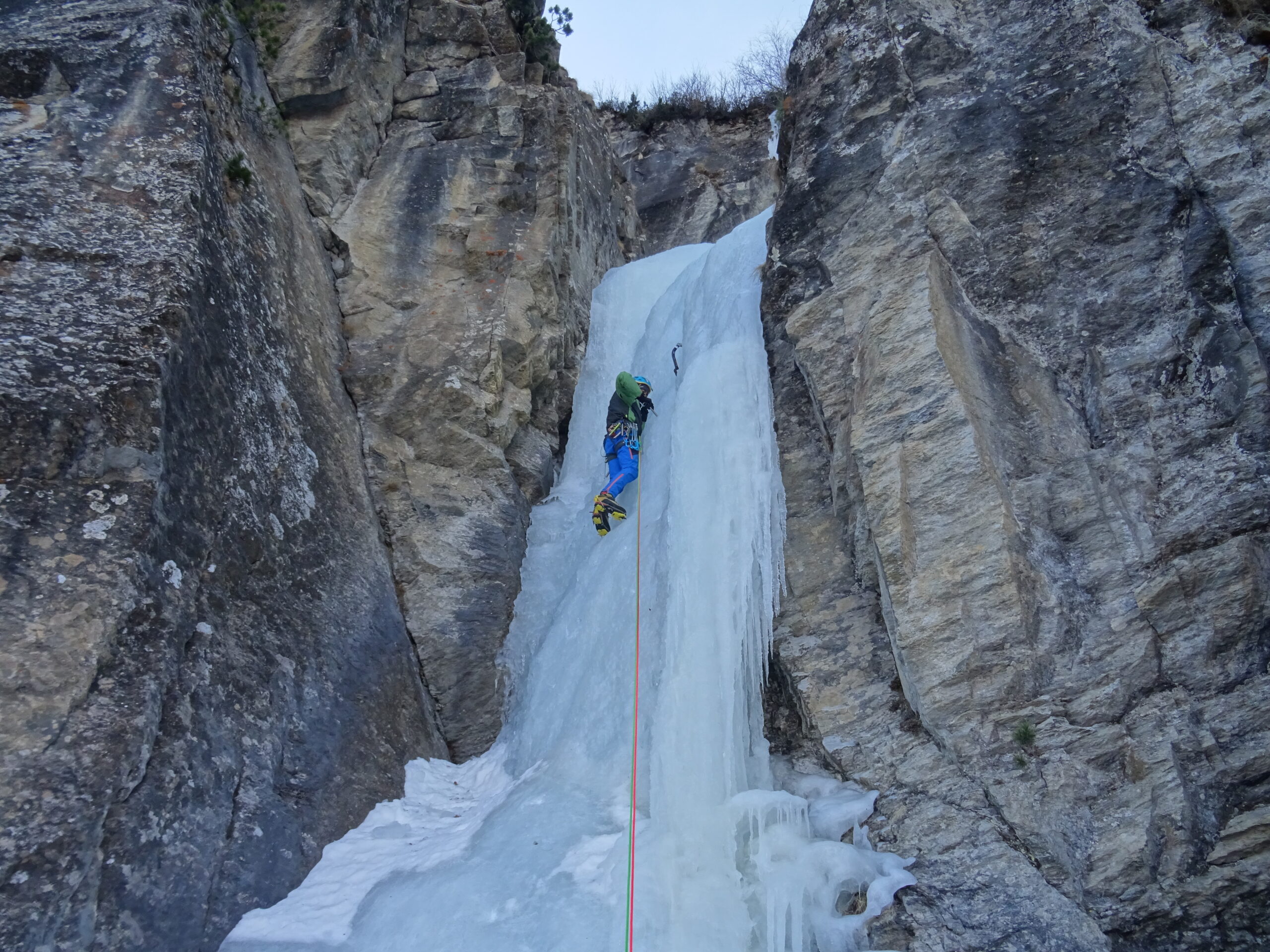
La cascata consta di 2 tiri fino ad una specie di piccolo anfiteatro, dove il flusso si divide e offre più possibilità.
L1: salire una ripida goulotte (10m max 80°) e quindi proseguire facilmente fino alla base del salto principale. 30m
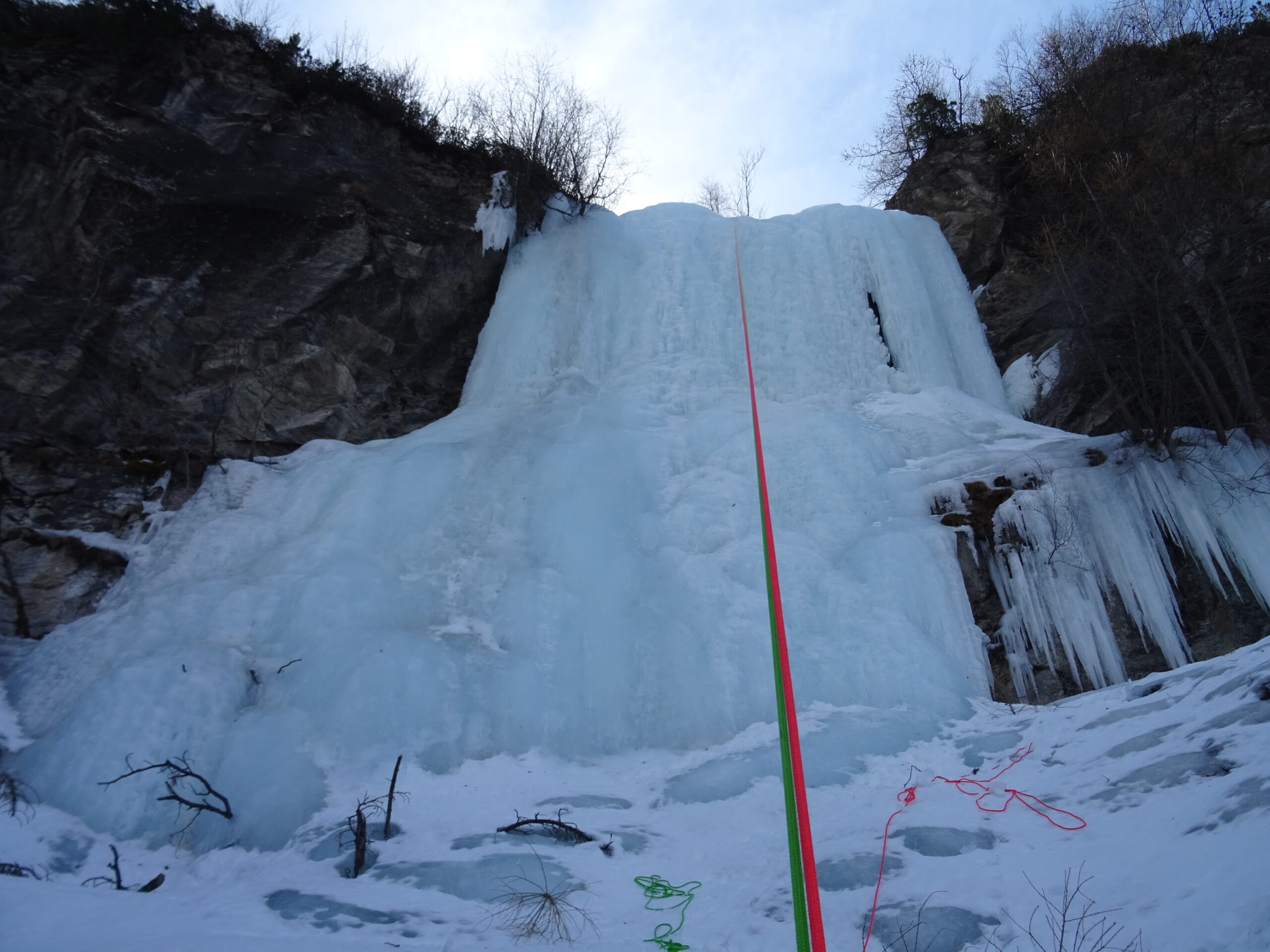
L2: salire il bellissimo muro più o meno al centro, costituito da un piedistallo (10m max 80°) e da una una seconda parte stalattitica (15m a 85°, un paio di metri a 90°), a cui segue un ultimo breve risalto di 2m a 75° che precede il pianetto dove si sosta (cordone fucsia con anello su albero). 30m
Dopo un breve trasferimento (30m), ci si trova davanti a 3 soluzioni che costituiscono la parte finale della cascata:
L3a: salire il colonnino sulla sx (6m a 90°) e quindi proseguire fin dove è presente ghiaccio, facendo sosta su albero (da attrezzare) e poi calandosi (soluzione percorsa dai primi salitori).
L3b: proseguire lungo il flusso principale, superando alcuni facili risalti per circa una 20ina di metri e quindi affrontare un muretto finale di 3-4m a 70°. Discesa a piedi in sx idrografica.
L3c: attraversare nel flusso a dx, risalire alcuni facili risalti e quindi vincere frontalmente l’ultimo breve muretto (4-5m a 75°). Discesa a piedi in sx idrografica, all’inizio, per poi traversare a dx e andare a riprendere la sosta con cordino fucsia.
Con una doppia da 55m si torna comodamente alla base della cascata.
G.C. Grassi e D. Alpe, 16 aprile 1985
- Bibliografia:
- Acqua addormentata nell'incantesimo del gelo. Cordola S., Guida alle cascate di ghiaccio della Valle di Susa. Libreria editrice La montagna, Torino 2015
Nelle vicinanze Mappa
Itinerari
23/01/2026 TO, Exilles 30 m I, 2+ Nord
Exilles – Ponte (Cascata del)
 4Km
4Km
18/01/2025 TO, Usseaux 60 m II, 4 Nord-Est
Gran Cerogne – Che Rogne! (Cascata)
 4.2Km
4.2Km
25/03/2022 TO, Pragelato 120 m II, 1+ Nord
Pragelato – Fraisse (Cascata di)
 5.6Km
5.6Km
15/01/2017 TO, Usseaux 60 m II, 3+, M4 Sud
Fraisse (Bastionata di) – Cristalli d’Annata
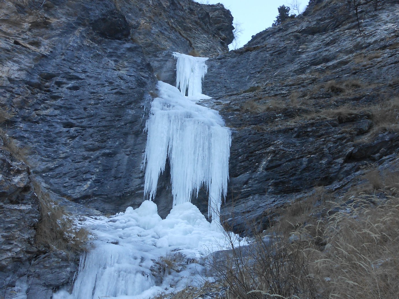 5.8Km
5.8Km
03/03/2018 TO, Usseaux 60 m II, 4 Sud
Fraisse (Bastionata di) – Suggestioni Cristalline
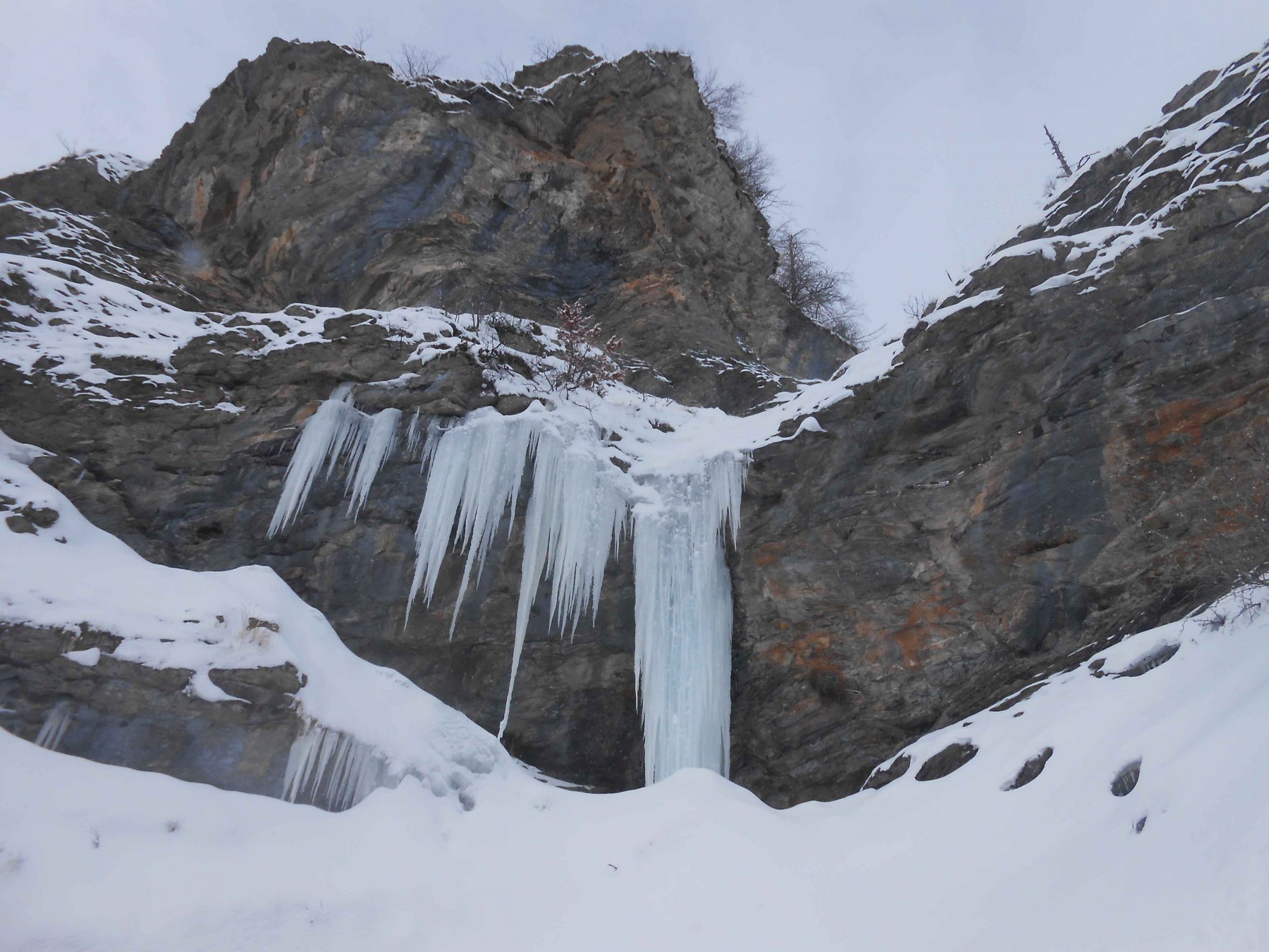 5.8Km
5.8Km
03/03/2018 TO, Usseaux 120 m II, 3 Sud
Fraisse (Bastionata di) – Effimere Circostanze (Cascata)
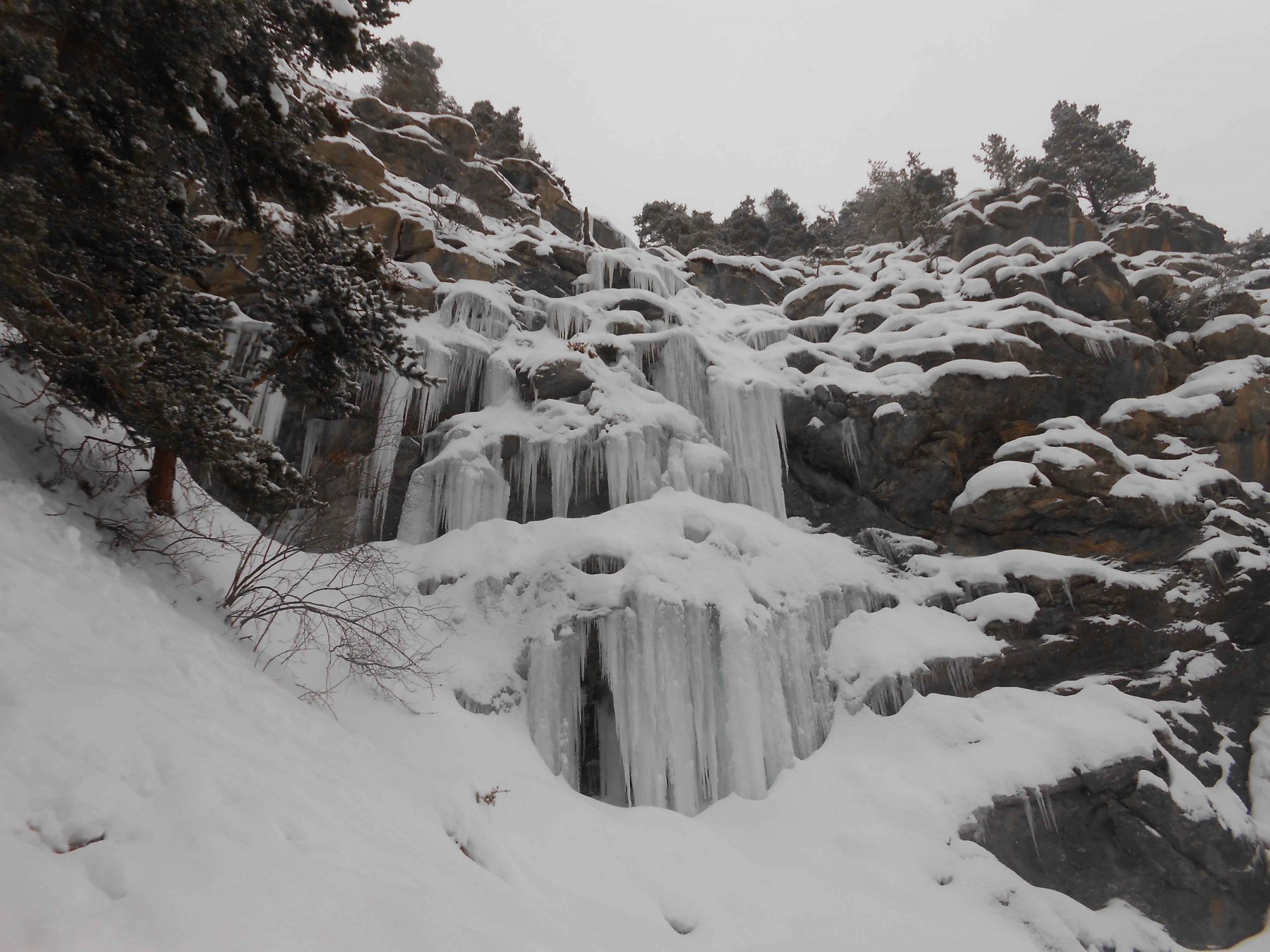 6.1Km
6.1Km
27/02/2005 TO, Salbertrand 80 m II, 3+ Sud
Salbertrand – Rio Geronda (Cascata del)
6.1Km
07/01/2021 TO, Usseaux 30 m I, 3 Sud-Est
Fraisse (Bastionata di) – Rocca del Colle (Cascata di)
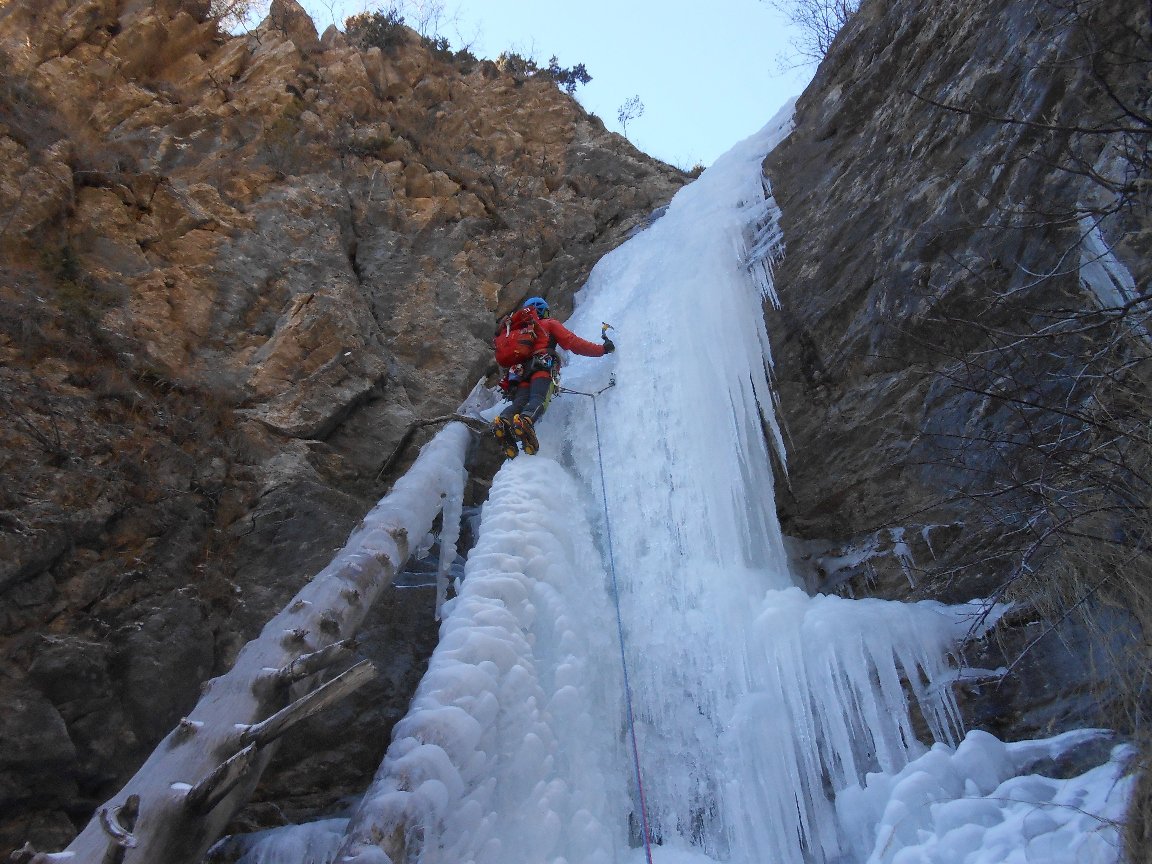 6.4Km
6.4Km
27/01/2017 TO, Salbertrand 11 m I, 2 Sud-Ovest
Salbertrand – Rio Secco (Cascata del)
 7Km
7Km
31/12/2009 TO, Salbertrand 150 m III, 4+ Sud
Vallonetto (Cima del, Cascata)
 7.1Km
7.1Km
Servizi
1.6Km
2.8Km
L’ultima stisa Ristorante
Exilles
2.8Km
La Quadriglia Ristorante
Exilles
2.8Km
Touplan Ristorante
Exilles
3.9Km
Arlaud Rifugio
Salbertrand
5.3Km
L’itialette Ristorante
Pragelato
5.5Km
1898 Ristorante
Soucheres-basses
6.1Km
Il Covo di nord ovest Ristorante
Salbertrand
6.6Km
Levi Molinari Rifugio
Exilles
6.7Km