2Km
2Km


Note
 50m
50m
50m
50m
1.6Km
1.6Km
2.6Km
3.5Km
6.3Km
6.3Km
50m
50m
50m
50m
1.6Km
1.6Km
2.6Km
3.5Km
6.3Km
6.3Km
2Km
2.1Km
2.8Km
3.1Km
3.1Km
3.2Km
4Km
4.5Km
6.1Km
6.2Km
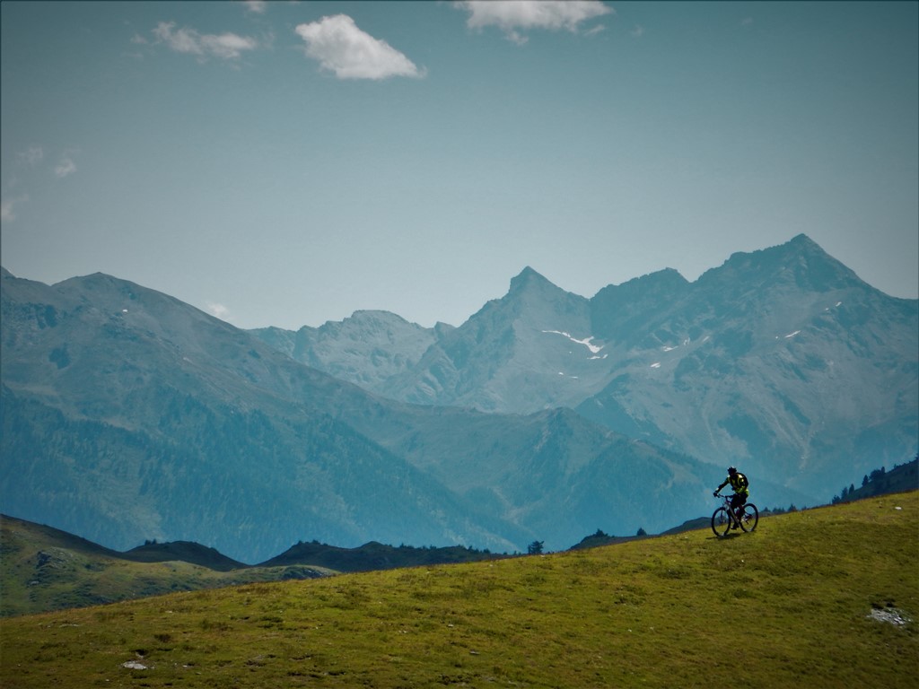
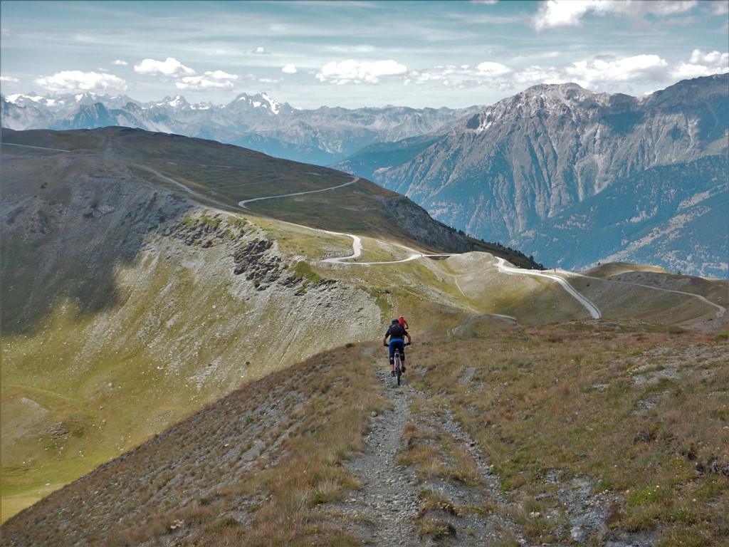
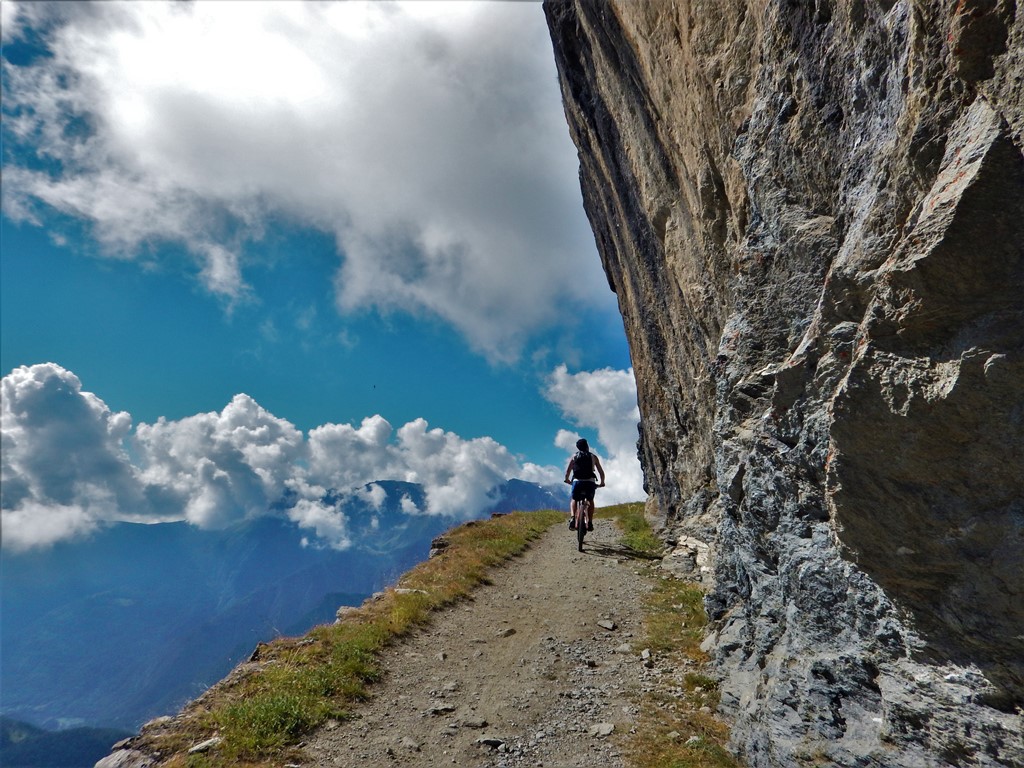
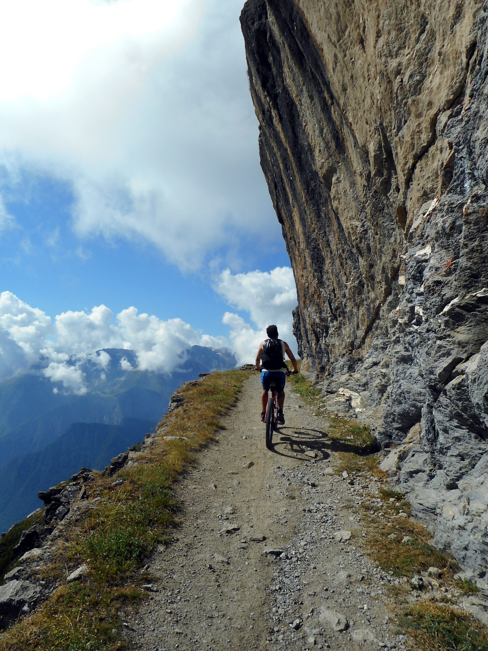
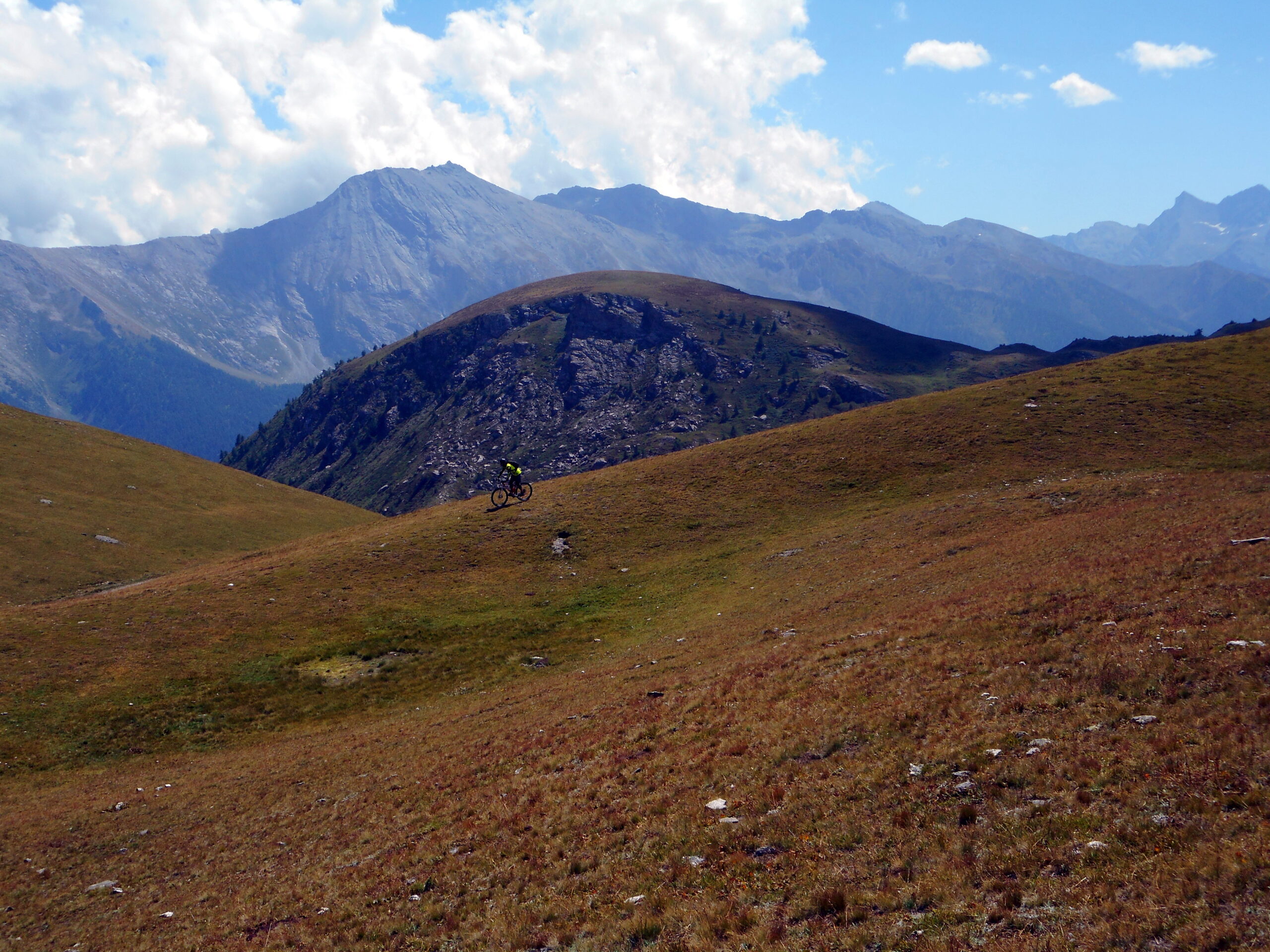
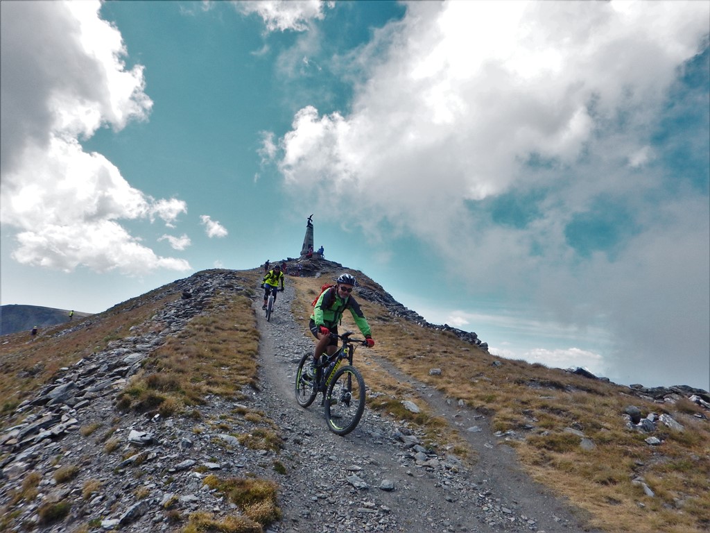
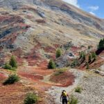
Spettacolare e panoramico anello d'alta quota lungo la dorsale che divide le valli Susa e Chisone, con salita ai 2.850 mt. della punta più alta di questo settore delle Alpi Cozie. L'Assietta si può pedalare con diverse varianti, questa è quella più in quota di tutte, con discese tecniche e molto impegnative!
Avvicinamento
.
Descrizione
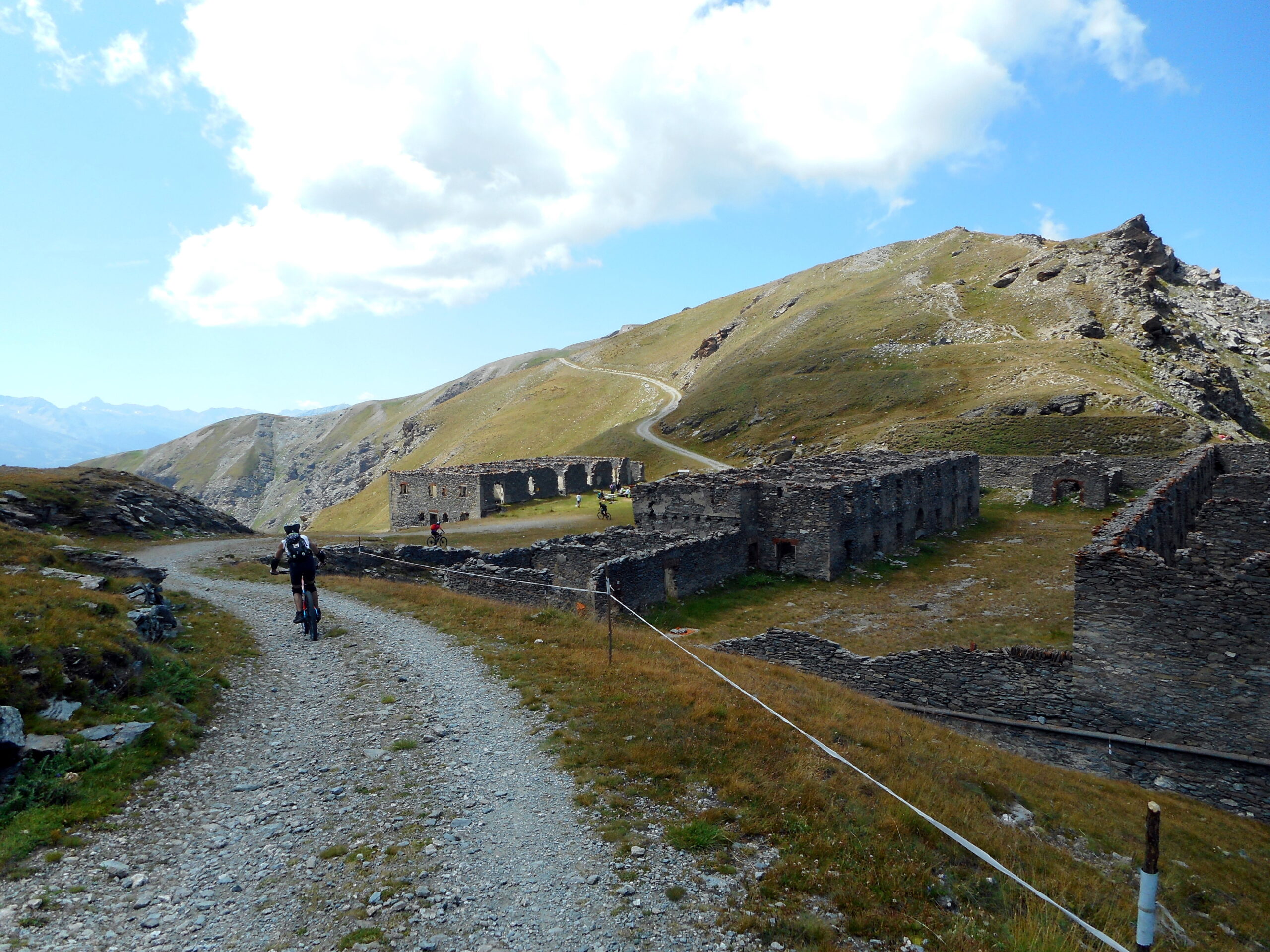
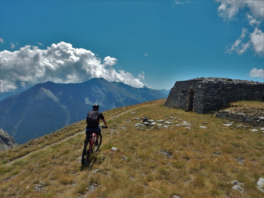
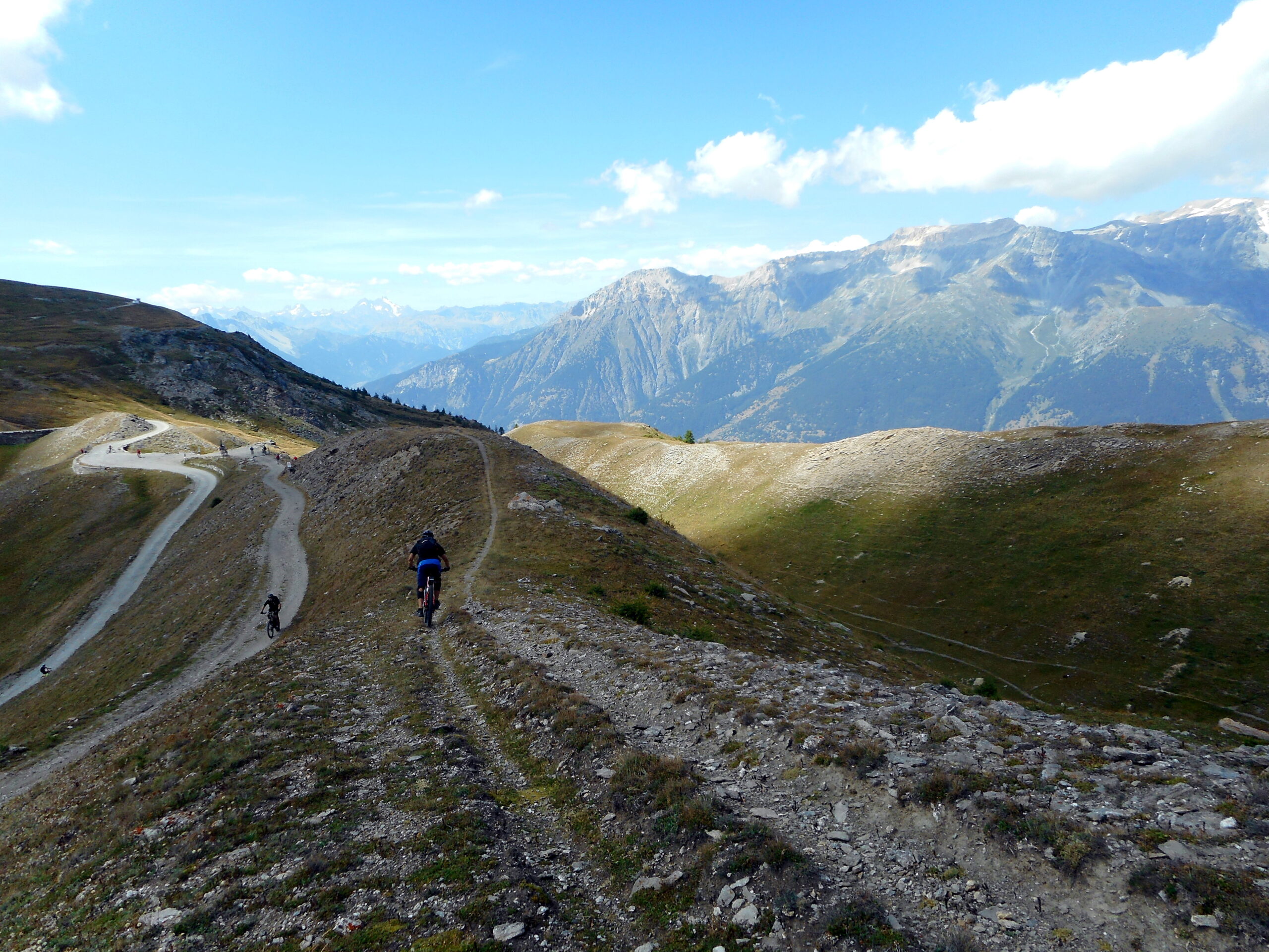
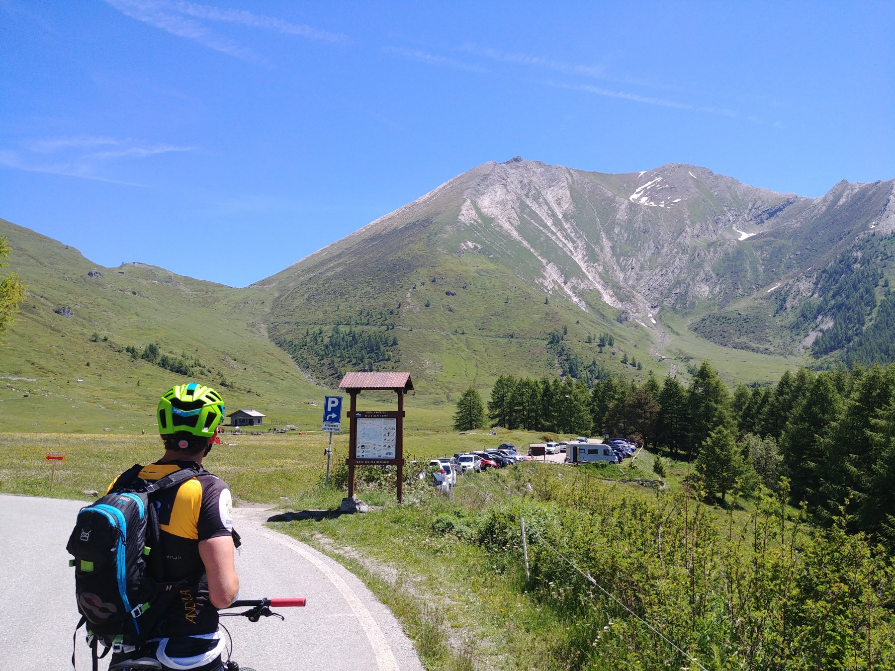
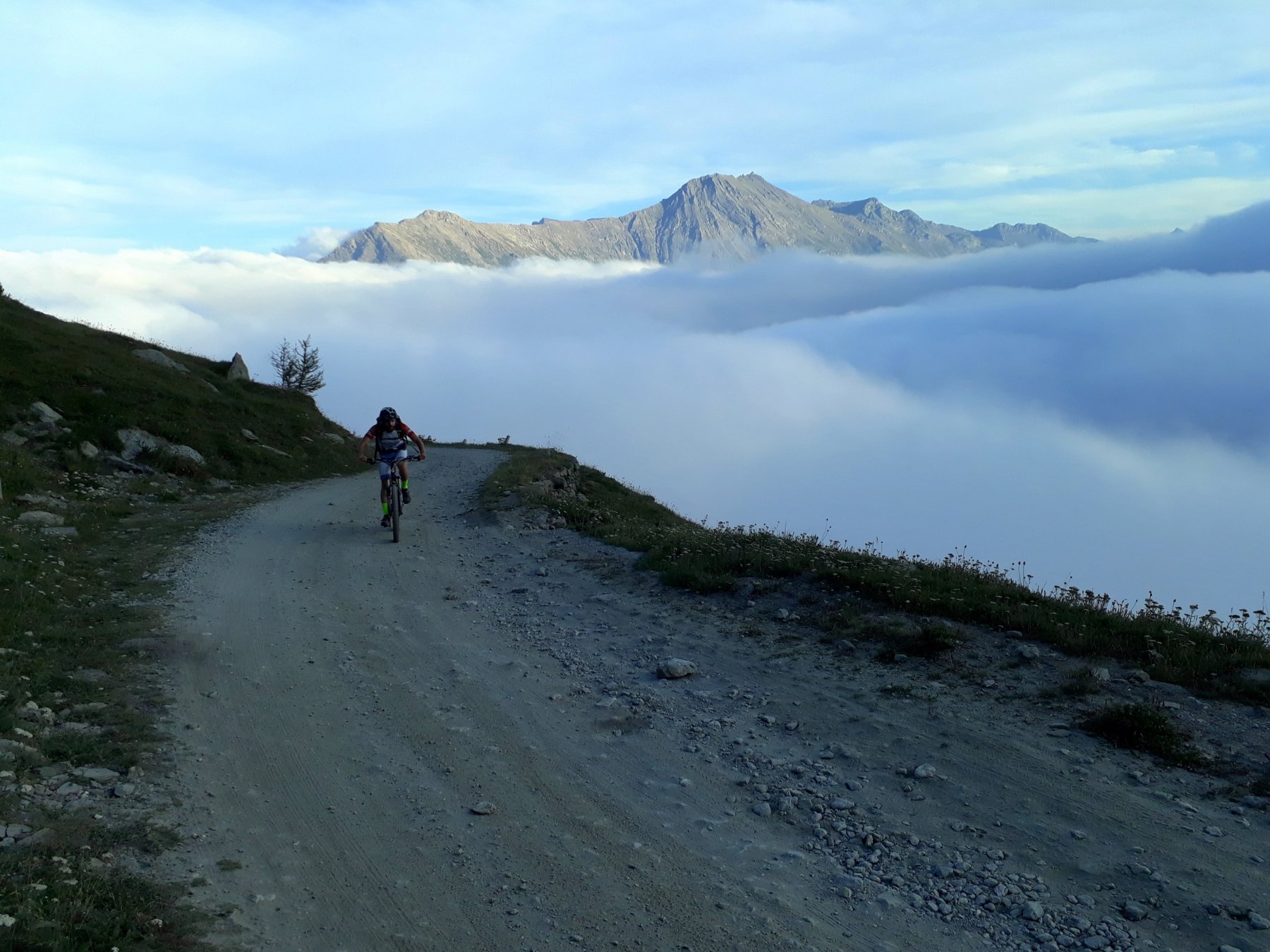
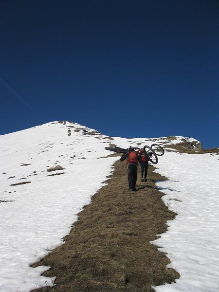
da Pourrieres (1400)(sulla statale SS23) salire a Balboutet (acqua) e poi sempre su asfalto al Pian dell’Alpe (1900); tralasciare a sin il bivio per l’Assietta e raggiungere il Colle delle Finestre (2178). Salire al forte su stradina-sentiero poco pedalabile e da qui raggiungere la vecchia militare “alta” dell’Assietta passando dalla Fontana Mourou e dal Colle della Vecchia (2439). Pedalare sulla strada militare molto panoramica con bellissimi scorci e passaggi aerei e bella vista e raggiungere il bivio per il sentiero della Ciantiplagna (cartello in legno); 100 mt. circa di portage e si è in punta!
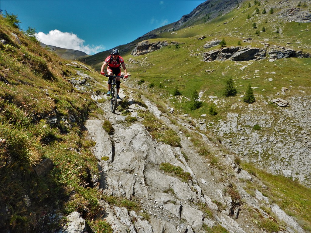
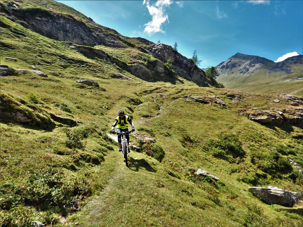
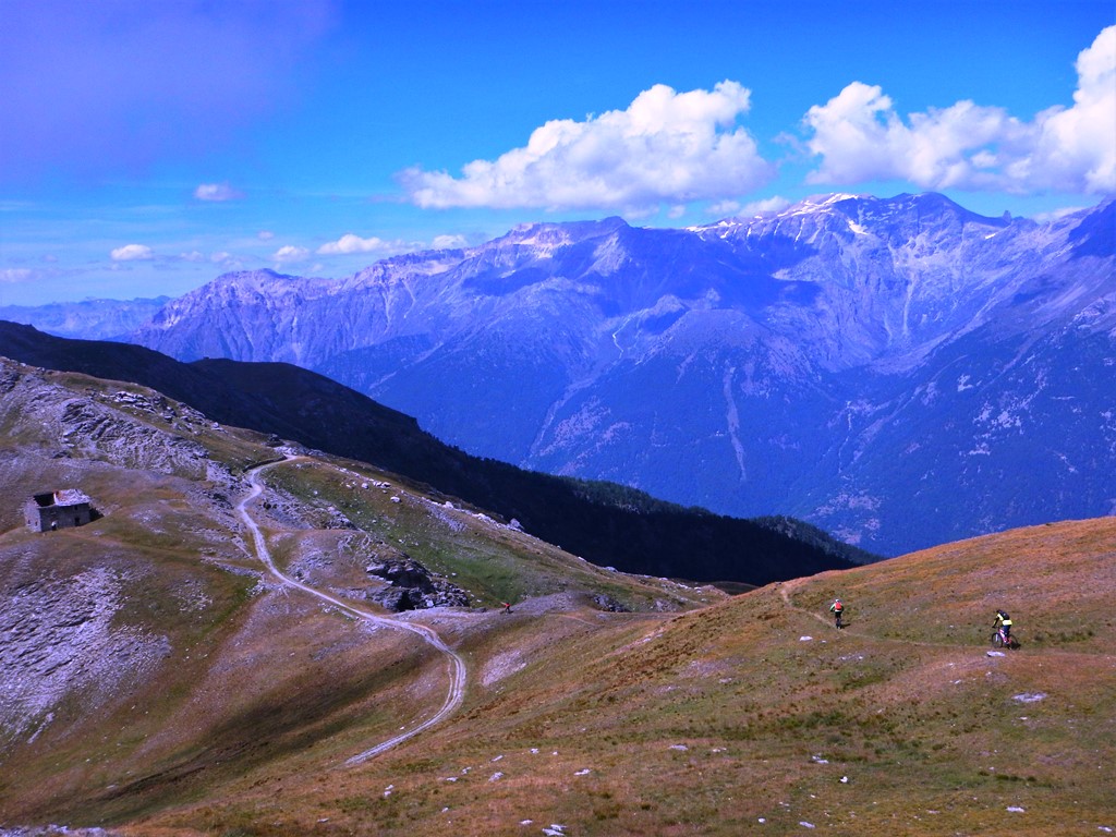
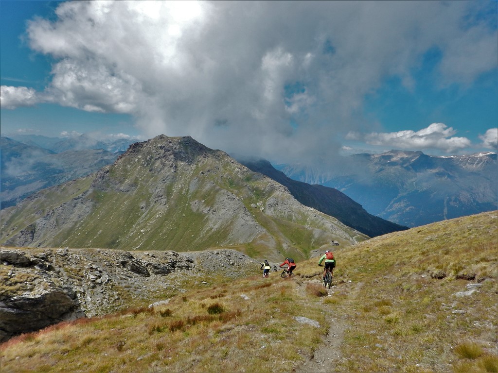
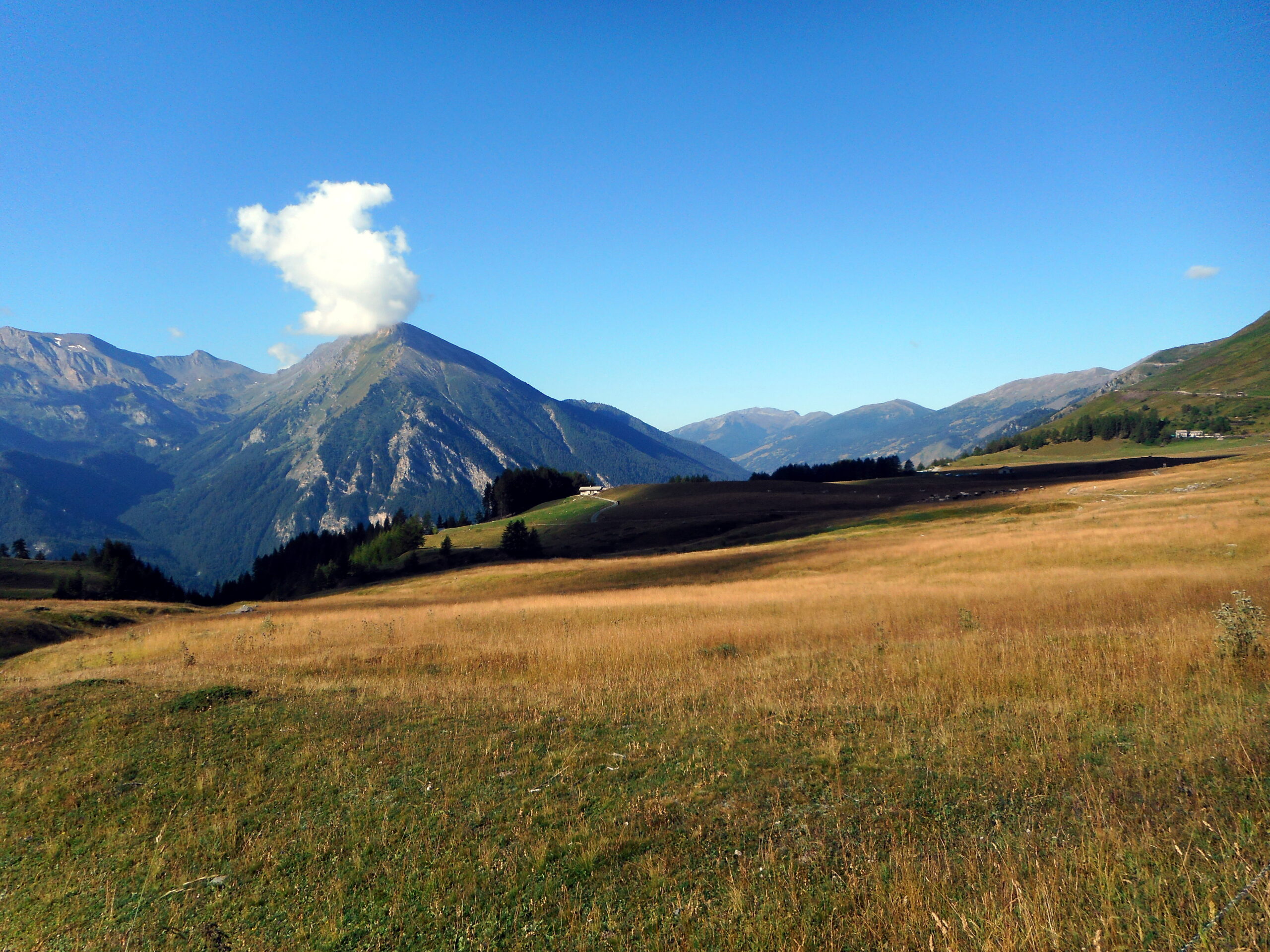
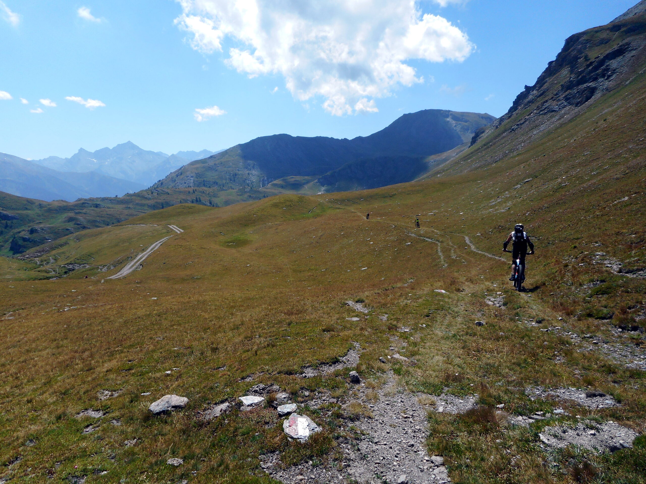
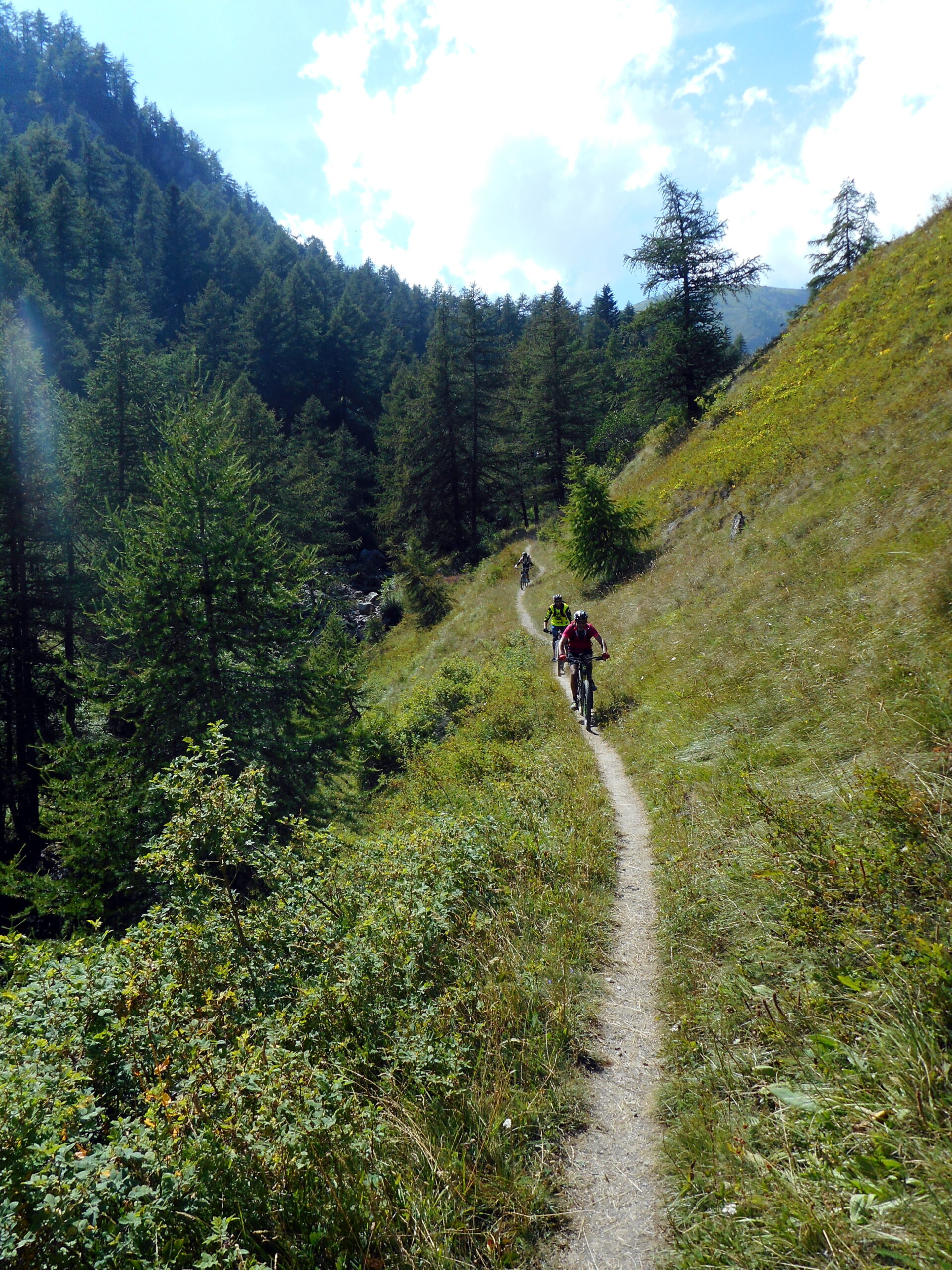
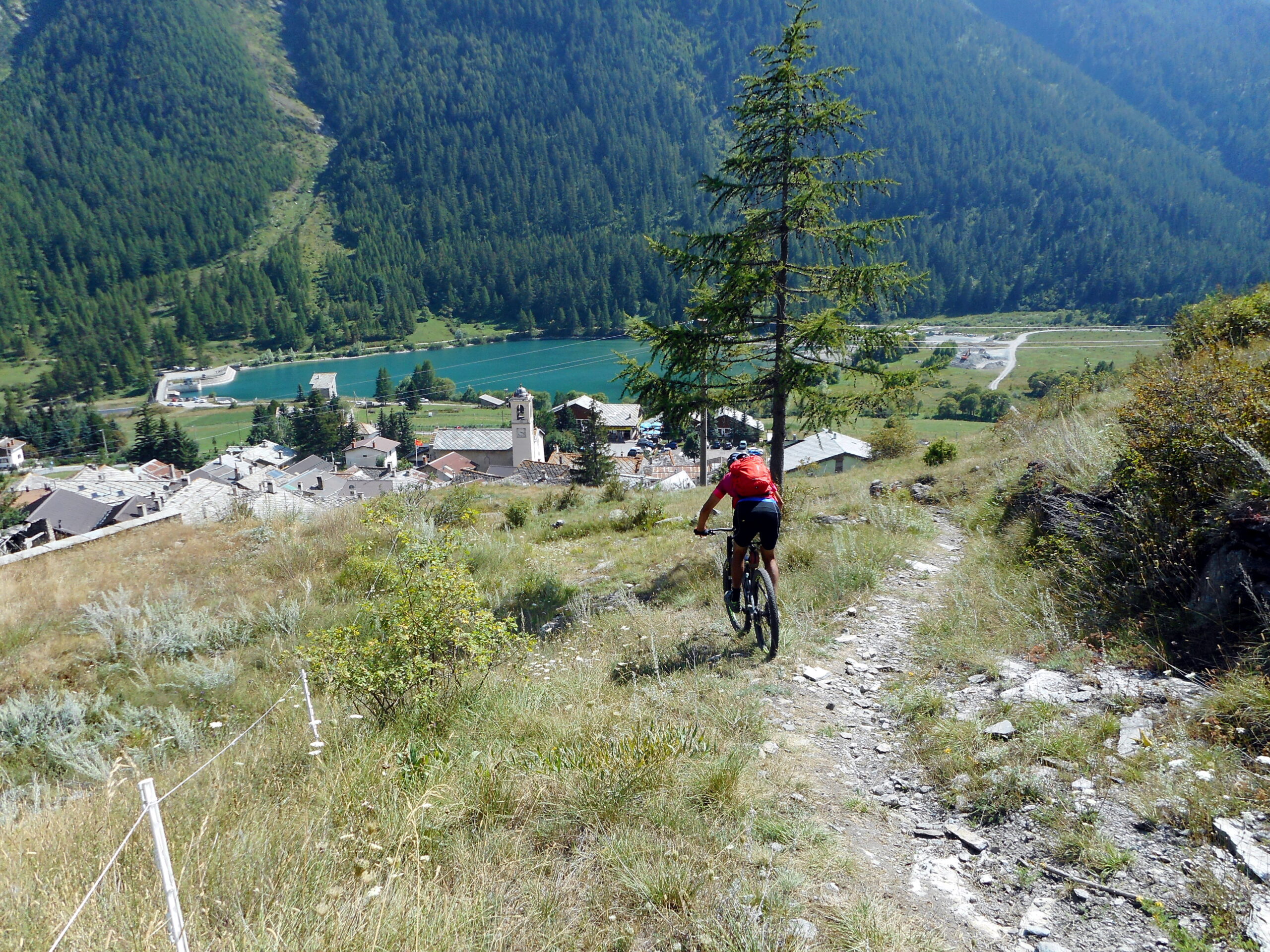
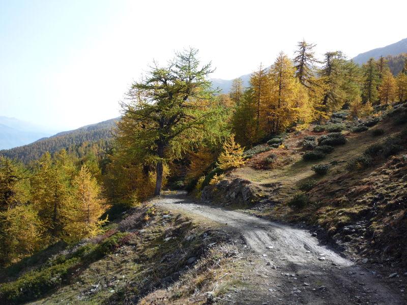
Tornati al bivio proseguire sulla militare per il Colle delle Vallette e la Caserma del Gran Serin; da qui proseguire sulla strada e nei pressi di un tornante a sin. sotto al Gran Serin reperire un sentierino che permette di raggiungere il Colle dell’Assietta. Proseguiamo la cavalcata fino al monumento della Testa dell’Assietta altro punto molto panoramico di questa gita. Dapprima in discesa poi in falsopiano sempre sulla strada militare raggiungiamo il Col Lauson, dove terminano le fatiche pedalatorie! la splendida discesa a tratti molto tecnica avverrà lungo il sentiero 328 che raggiunge il laghetto di Lauson e poi sempre in single track, l’alpe Rocce, Gran Puy e Pragelato. Da qui appena possibile oltrepassare il Chisone e raggiungere Pourrieres su una bellissima e veloce sterrata.
VARIANTE: volendo accorciare il giro e un pò anche il dislivello dal Colle dell’Assietta si può scendere direttamente con il sentiero GTA (anch’esso divertente e di difficoltà OC, con alcuni passaggini un pò esposti e un leggero tratto di risalita): il sentiero inizialmente scende per prati (seguire i paletti), poi raggiunge un laghetto e l’Alpe Assietta; da qui il sentiero presenta alcuni tratti esposti da superare con bici alla mano, poi ritorna divertente e filante. Si raggiunge l’abitato di Cerogne, che si attraversa per reperire un altro ripido sentiero che in breve porta a Pourrieres.
- Cartografia:
- Fraternali 1:25.000 n.1 e 3
Nelle vicinanze Mappa
Itinerari
25/06/2026 TO, Usseaux D+ 1600 m BC, OC+, S3 Varie
Ciantiplagna (Cima) e Colle dell’Assietta da Pourrieres per il Colle delle Finestre, discesa per il vallone di Cerogne
 50m
50m
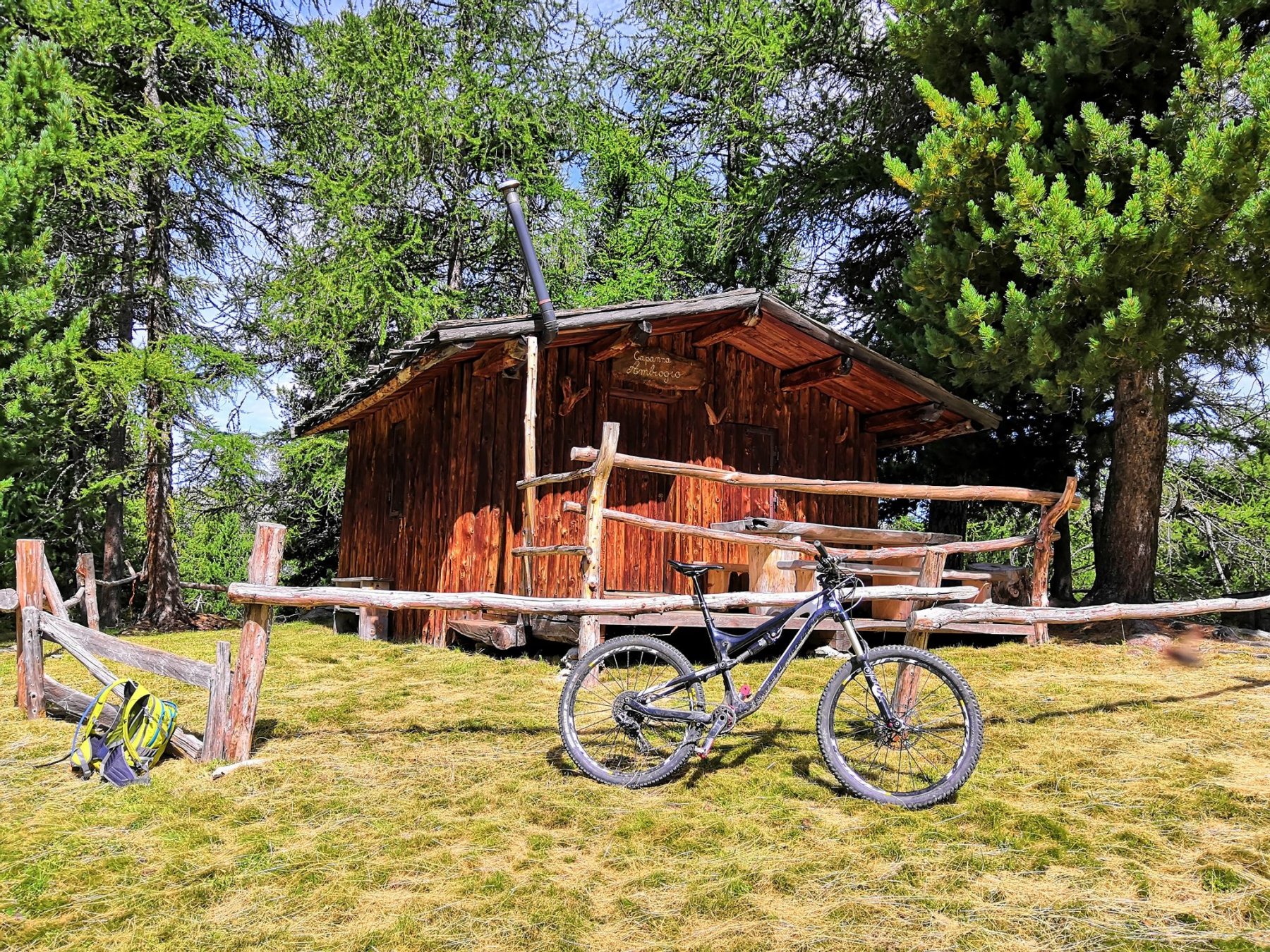
17/08/2019 TO, Usseaux D+ 750 m OC+, BC+, S3 Ovest
Ambrogio (Capanna) da Pourrieres
 50m
50m
23/06/2019 TO, Usseaux D+ 1350 m OC, TC, S2 Sud
Assietta (Testa dell’) da Pourrieres, giro con discesa nel Vallone di Cerogne
 50m
50m
24/06/2026 TO, Usseaux D+ 1200 m MC, BC, S1 Sud
Assietta (Testa dell’) da Pourrieres, giro per il Col Lauson
 50m
50m
27/07/2023 TO, Usseaux D+ 1180 m BC, OC, S3 Sud
Gran Costa (Monte) da Balboutet, giro
 1.6Km
1.6Km
27/05/2026 TO, Fenestrelle D+ 1400 m MC+, MC, S0 Varie
Ciantiplagna (Cima) e Testa dell’Assietta da Balboutet, giro per il Colle dell’Assietta
 1.6Km
1.6Km
18/07/2026 TO, Usseaux D+ 1700 m BC, BC+, S2 Varie
Albergian (Colle dell’) da Laux, giro Val Troncea – Val Chisone per il Colle del Pis
 2.6Km
2.6Km
06/01/2015 TO, Usseaux D+ 1300 m MC+, BC+, S2 Sud-Ovest
Pintas (Monte) da Usseaux, giro per il Colle delle Finestre
 3.5Km
3.5Km
21/09/2025 TO, Chiomonte D+ 1139 m BC, BC+, S2 Nord
Gran Serin (Punta del) da Frais
 6.3Km
6.3Km
07/08/2024 TO, Chiomonte D+ 1359 m BC, BC, S1 Varie
Ciantiplagna (Cima) da Frais per il Gran Serin
 6.3Km
6.3Km
Servizi
2Km
2.1Km
Edelweiss Ristorante
Usseaux
2.8Km
Souvenir Rifugio
Usseaux
3.1Km
Pian dell’alpe Rifugio
Usseaux
3.1Km
Cheese Bar Ristorante
Usseaux
3.2Km
La Placette Ristorante
Usseaux
4Km
Lago delle Rane Rifugio
Usseaux
4.5Km
1898 Ristorante
Soucheres-basses
6.1Km
Meizon Blanco Ristorante
Fenestrelle
6.2Km