4.2Km
4.2Km
Note
Storico
 1.4Km
2Km
2Km
2Km
2Km
2.9Km
2.9Km
3Km
1.4Km
2Km
2Km
2Km
2Km
2.9Km
2.9Km
3Km
4.2Km
5.3Km
5.7Km
7.1Km
7.1Km
7.2Km
7.6Km
7.7Km
7.7Km
7.7Km
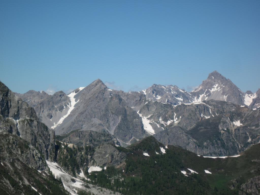
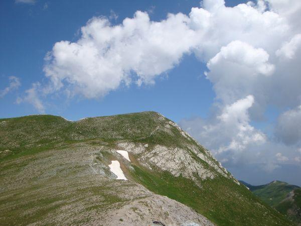
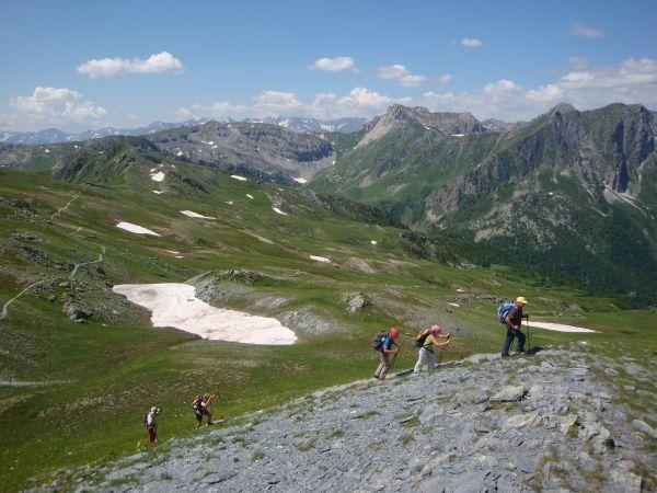
Facilissima e bellissima passeggiata in quota che permette di ammirare un panorama grandioso dalle alpi valdostane all'appennino ligure e, con poca fatica, di salire sulla Punta Tempesta. L'itinerario si sviluppa in ambiente di crinale ed è da evitare in caso di temporali violenti; nonostante la traccia sia molto ben visibile, va percorso con cautela in caso di nebbia o nuvole basse.
Avvicinamento
Il Colle d'Esischie è raggiungibile in auto con tre possibili itinerari:
1-da Demonte (Valle Stura) per il Vallone dell'Arma e i Colli di Valcavera e Fauniera (o Colle dei Morti)
2-da Caraglio (Valle Grana) per la Valle Grana oltre Castelmagno
3-da Marmora (Valle Maira) per il Vallone di Marmora
Descrizione
1-da Demonte (Valle Stura) per il Vallone dell'Arma e i Colli di Valcavera e Fauniera (o Colle dei Morti)
2-da Caraglio (Valle Grana) per la Valle Grana oltre Castelmagno
3-da Marmora (Valle Maira) per il Vallone di Marmora
Dal Colle d’Esischie (2365 m) imboccare l’evidente traccia (sentiero R29, tacche bianco-rosso) per il Colle Sibolet (o Sebolet, 2546 m). Giunti al Colle Sibolet (palina segnaletica), si tralascia sulla destra la traccia che, in discesa, raggiunge prima il Colle Intersile e poi il Monte Tibert (o verso destra per il Vallone Sibolet, scende a Castelmagno) e si sale per un brevissimo tratto più ripido in direzione nord-est.
Si seguono le tracce di sentiero sino alla cima di Punta Tempesta (2679 m). Il ritorno si effettua a ritroso con la possibilità di una breve variante seguendo una traccia che scende leggermente nel Vallone della Miniera (versante Valle Grana) da imboccare prima del Monte Pelvo (collettino a Q 2492); si transita ai piedi della Rocca Negra e si guadagna un altro colletto a Q 2427 precedentemente già raggiunto lungo l’itinerario di salita.
Dalla Punta Tempesta, in giornate molto nitide con ottima visibilità, il panorama spazia dalla Alpi lombarde sino alle Apuane, con vista a 360°
- Cartografia:
- Alta Valle Stura di Demonte, Fraternali Ed. 1:25.000
Nelle vicinanze Mappa
Itinerari
07/06/2026 CN, Castelmagno D+ 1100 m E Tutte
Tempesta (Punta), Monte Tibert, Punta la Piovosa, Punta Sibolet dal Gias Fauniera, anello
 1.4Km
1.4Km
18/06/2025 CN, Castelmagno D+ 500 m EE Varie
Sibolet (Punta) e Cima Reina dal Gias Fauniera
1.4Km
07/09/2025 CN, Marmora D+ 700 m EE Tutte
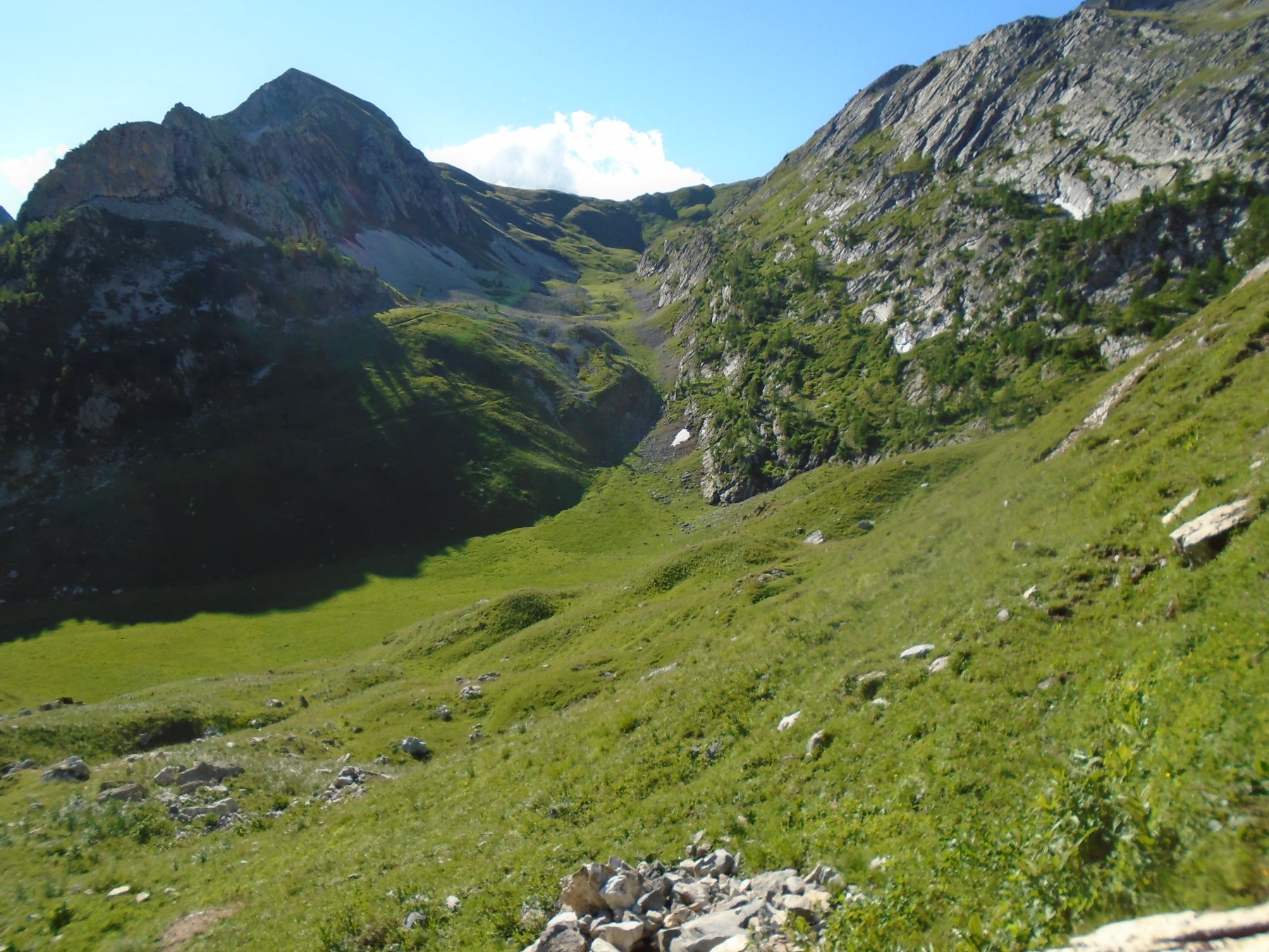
Test (Cima di) dall’Alpe Valanghe, anello per i Colli Vallonetto, Fauniera e del Mulo
 2Km
2Km
02/06/2017 CN, Marmora D+ 681 m EE/F Sud-Est
Bianca (Monte la) dall’Alpe Valanghe per la cresta SE
2Km
23/07/2023 CN, Marmora D+ 750 m EE Varie
Bianca (Monte la) dall’Alpe Valanghe per il Passo della Valletta
 2Km
2Km
05/10/2025 CN, Marmora D+ 1200 m EE/F Tutte
Grande (Becco) cime Ovest ed Est, Becco Nero e Cima di Test dall’Alpe Valanghe, anello
 2Km
2Km
08/10/2021 CN, Marmora D+ 680 m EE/F Varie
Grande (Becco) cima Est dall’Alpe Valanghe per il Colle del Mulo
 2Km
2Km
18/06/2025 CN, Castelmagno D+ 400 m EE Varie
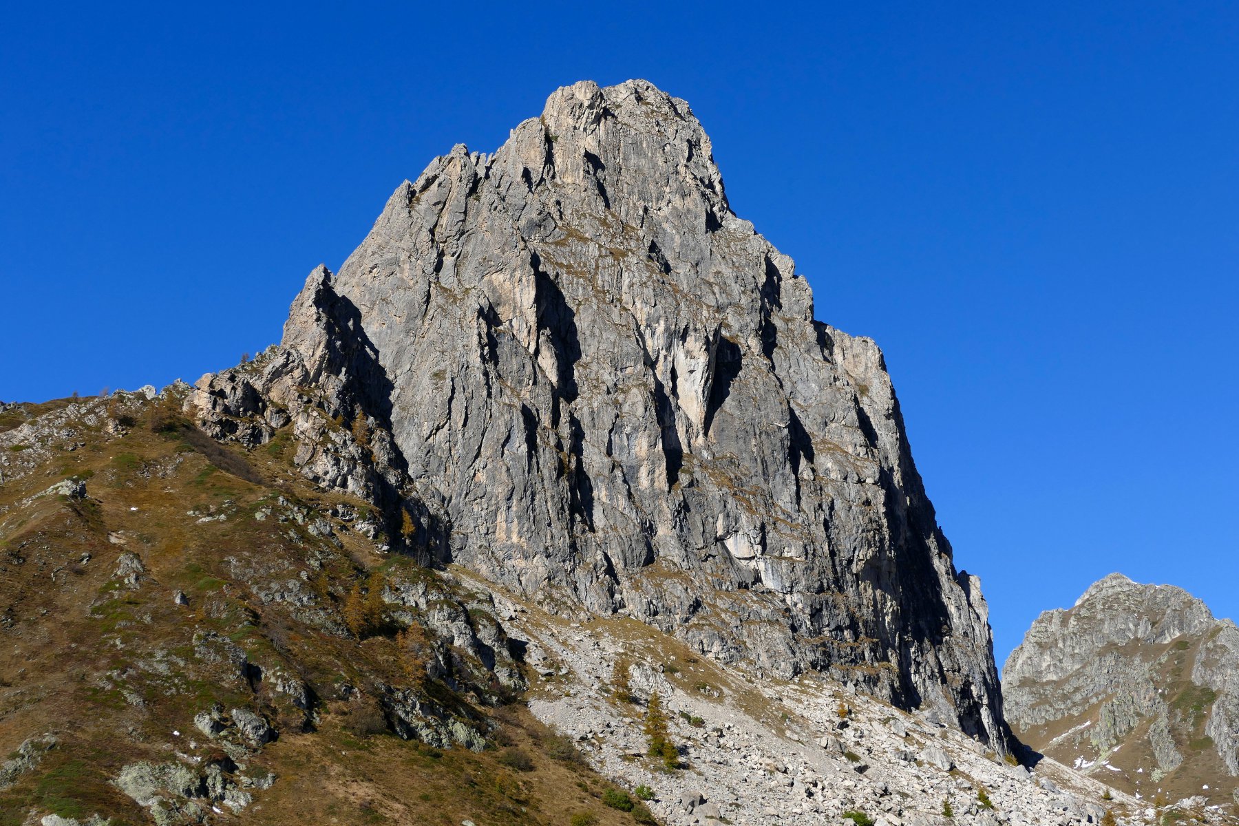
Parvo (Rocca) dalla strada per il Colle Fauniera
 2.9Km
2.9Km
07/09/2025 CN, Castelmagno D+ 880 m EE/F Varie
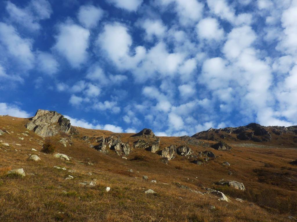
Parvo (Punta), Rocca Parvo e Parvetto dalla strada per il Colle Fauniera, anello
 2.9Km
2.9Km
12/10/2025 CN, Sambuco D+ 600 m EE Sud-Ovest
Grande (Becco) cime Ovest ed Est e Becco Nero dal Colle di Valcavera
 3Km
3Km
Servizi
4.2Km
5.3Km
La Font Albergo
Castelmagno
5.7Km
Brec Dal Vern Rifugio
Marmora
7.1Km
La Valliera Rifugio
Castelmagno
7.1Km
Des Martin B&B
Castelmagno
7.2Km
Lu Pittavin Rifugio
Marmora
7.6Km
Monte Tibert Rifugio
Castelmagno
7.7Km
Ceaglio Rifugio
Marmora
7.7Km
Posto tappa gta Ceaglio Rifugio
Marmora
7.7Km