 5.1Km
5.1Km
Note
 50m
50m
50m
50m
2Km
2Km
2Km
2Km
2Km
3.3Km
50m
50m
50m
50m
2Km
2Km
2Km
2Km
2Km
3.3Km
5.1Km
5.8Km
6.5Km
6.8Km
6.8Km
6.9Km
7Km
7.1Km
7.1Km
7.2Km
Gita tutta fuori sentiero
Avvicinamento
Da Castelmagno e il Colle d’Esischie, dal quale si scende all’ Alpe Valanga.
Da Marmora prima di arrivare al Colle di Esischie si raggiunge l’Alpe Valanga, baita recente a bordo strada di fronte alla sterrata per il Colle del Mulo.
Dall’ Alpe Valanga è pure possibile, su ottimo fondo con auto normale, raggiungere la soprastante Gr. Maro (2150m circa) sulla sterrata verso Colle del Mulo .
Descrizione
Da Marmora prima di arrivare al Colle di Esischie si raggiunge l’Alpe Valanga, baita recente a bordo strada di fronte alla sterrata per il Colle del Mulo.
Dall’ Alpe Valanga è pure possibile, su ottimo fondo con auto normale, raggiungere la soprastante Gr. Maro (2150m circa) sulla sterrata verso Colle del Mulo .
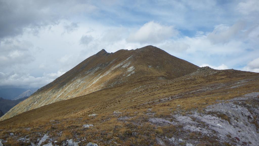
Raggiunta la Grangia Maro 2150 m circa si abbandona la sterrata per il Colle del Mulo e si sale a piacere in direzione della cresta SE fino ad un ripiano posto all’inizio di un pendio erboso con radi pini, da cui si accede alla parte inferiore della cresta. Si percorre il facile tratto di cresta successivo fino al castello roccioso che sbarra l’accesso al pendio poco ripido che costituisce la parte alta fino alla quota 2689: il passaggio è obbligato, di 2° grado, facile ma esposto. Superata l’unica difficoltà, si passa sulle ultime roccette e poi si prosegue su pendio comodo e poco ripido fino alla quota 2689, dove arriva l’itinerario della normale escursionistica da Passo Valletta e quindi in vetta per l’ultimo tratto di cresta. Discesa per la via di salita oppure via Passo della Valletta e canale sud-est, abbastanza scosceso nella parte alta e su terreno infido di erba e terriccio.
Ultima revisione 16/07/2025
Nelle vicinanze Mappa
Itinerari
23/07/2023 CN, Marmora D+ 750 m EE Varie
Bianca (Monte la) dall’Alpe Valanghe per il Passo della Valletta
 50m
50m
07/09/2025 CN, Marmora D+ 700 m EE Tutte
Test (Cima di) dall’Alpe Valanghe, anello per i Colli Vallonetto, Fauniera e del Mulo
 50m
50m
08/10/2021 CN, Marmora D+ 680 m EE/F Varie
Grande (Becco) cima Est dall’Alpe Valanghe per il Colle del Mulo
 50m
50m
05/10/2025 CN, Marmora D+ 1200 m EE/F Tutte
Grande (Becco) cime Ovest ed Est, Becco Nero e Cima di Test dall’Alpe Valanghe, anello
 50m
50m
10/08/2025 CN, Castelmagno D+ 314 m E Sud
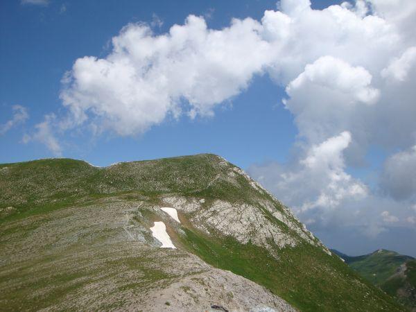
Tempesta (Punta) dal Colle d’Esischie
 2Km
2Km
12/10/2025 CN, Sambuco D+ 600 m EE Sud-Ovest
Grande (Becco) cime Ovest ed Est e Becco Nero dal Colle di Valcavera
 2Km
2Km
02/06/2015 CN, Demonte D+ 235 m E Sud
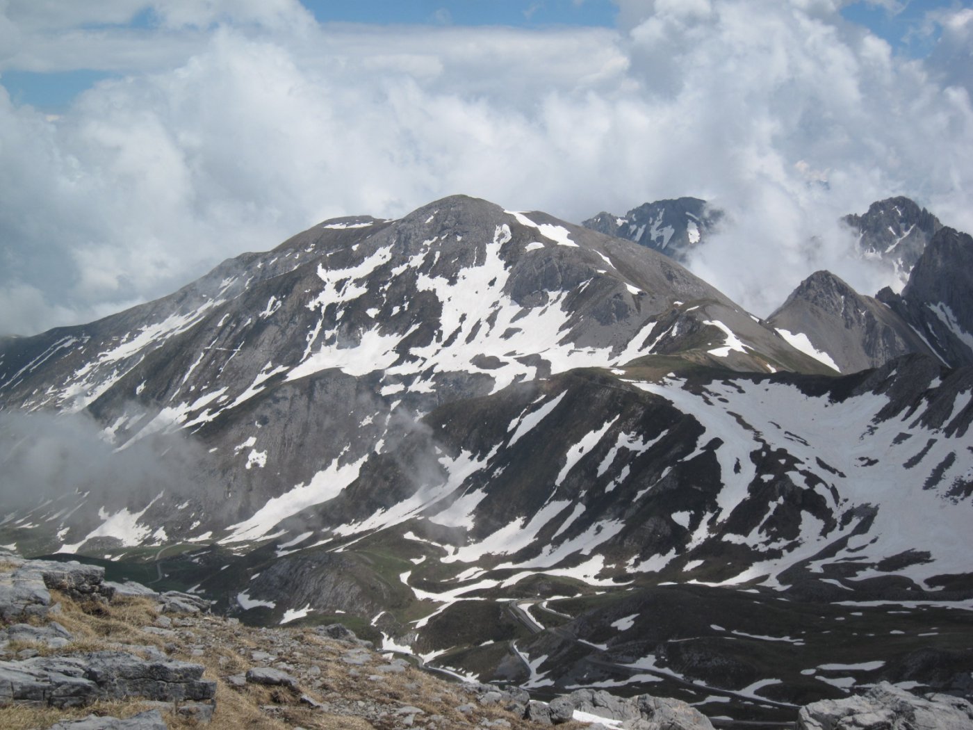
Test (Cima di) dal Colle di Valcavera
 2Km
2Km
29/07/2023 CN, Demonte D+ 300 m E Varie
Nero (Becco) dal Colle di Valcavera, anello
 2Km
2Km
23/06/2020 CN, Sambuco D+ 700 m EE Sud-Est
Bianca (Monte la) dal Colle di Valcavera, Colle del Mulo, Passo della Valletta
 2Km
2Km
07/06/2026 CN, Castelmagno D+ 1100 m E Tutte
Tempesta (Punta), Monte Tibert, Punta la Piovosa, Punta Sibolet dal Gias Fauniera, anello
 3.3Km
3.3Km
Servizi
5.1Km
5.8Km
Carbonetto Rifugio
Demonte
6.5Km
Lu Pittavin Rifugio
Marmora
6.8Km
Posto tappa gta Ceaglio Rifugio
Marmora
6.8Km
Ceaglio Rifugio
Marmora
6.9Km
Croce bianca Ristorante
Marmora
7Km
Lou Pitavin Ristorante
Marmora
7.1Km
Mascha Parpaja Rifugio
Canosio
7.1Km
Lou Lindàl Rifugio
Canosio
7.2Km

