2Km
2Km
Avvicinamento
 1.8Km
3.9Km
3.9Km
4.1Km
4.2Km
4.8Km
4.9Km
1.8Km
3.9Km
3.9Km
4.1Km
4.2Km
4.8Km
4.9Km
2Km
2.1Km
3.6Km
3.9Km
3.9Km
5.9Km
7.8Km
7.9Km
8Km
9.6Km
.
Descrizione
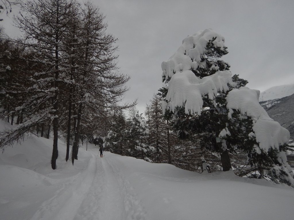
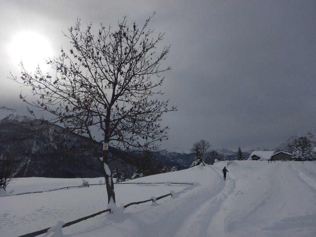
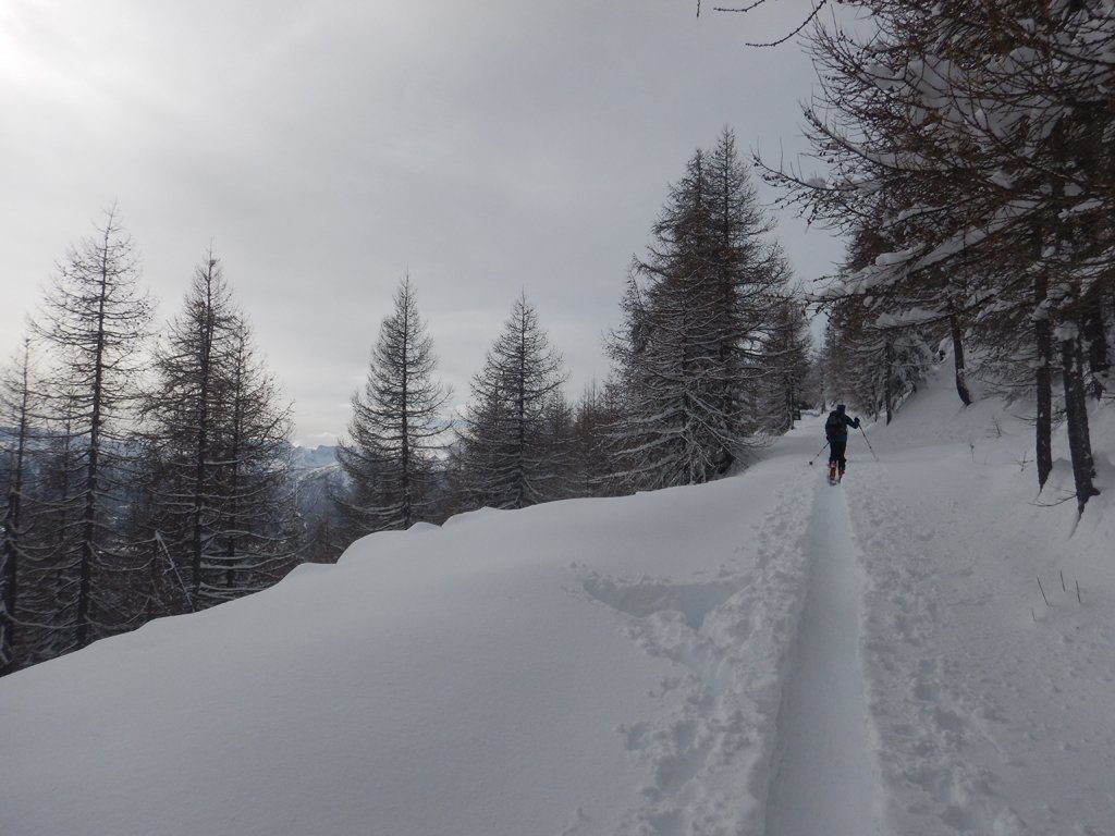
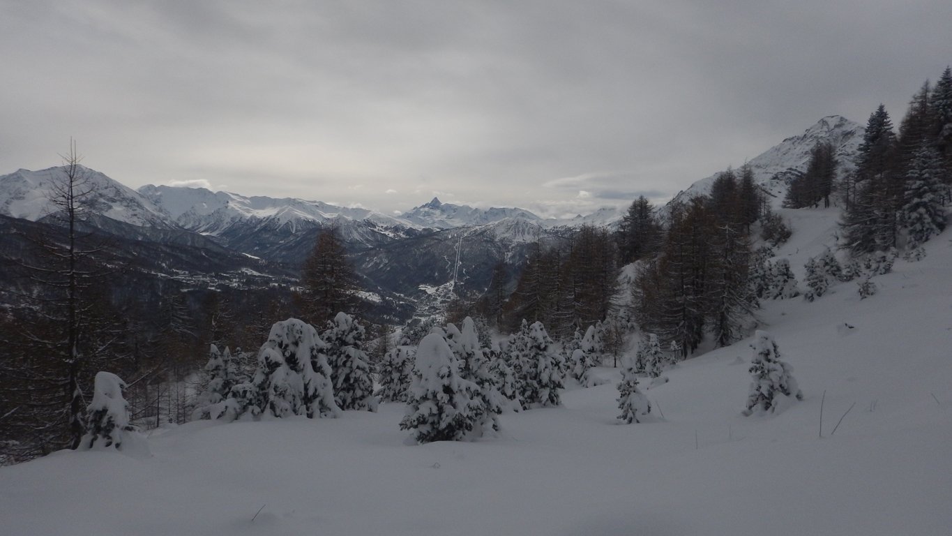
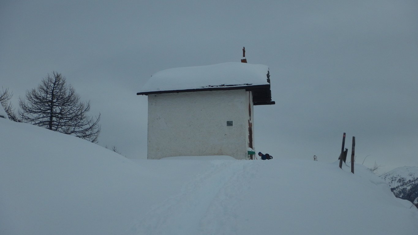
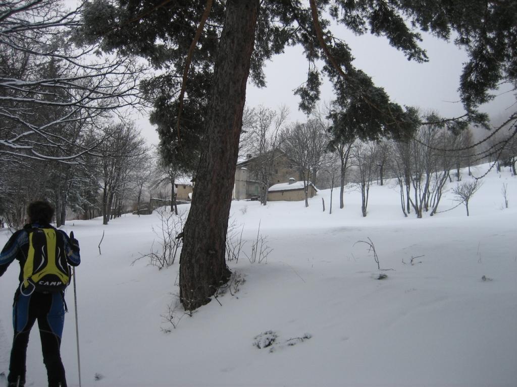
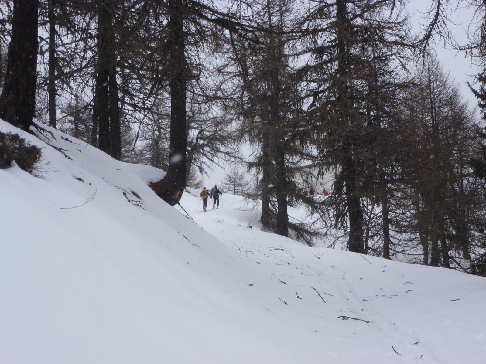
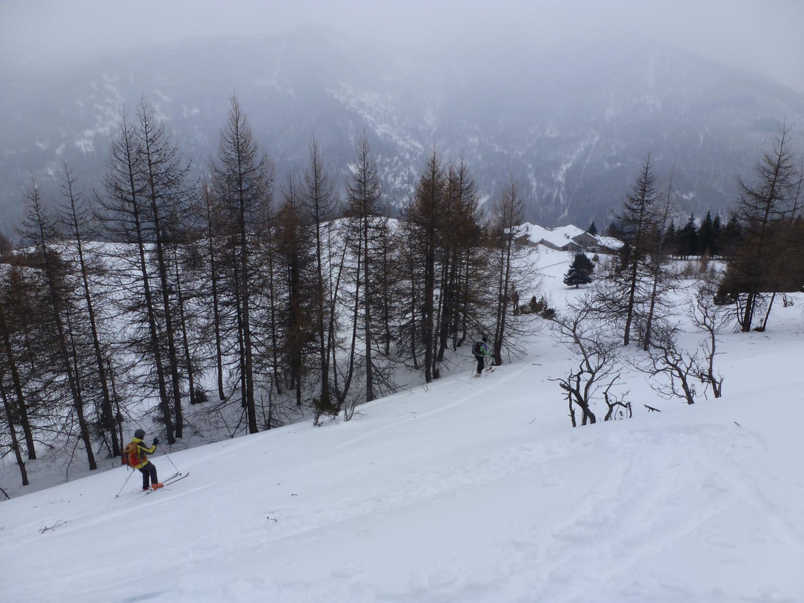
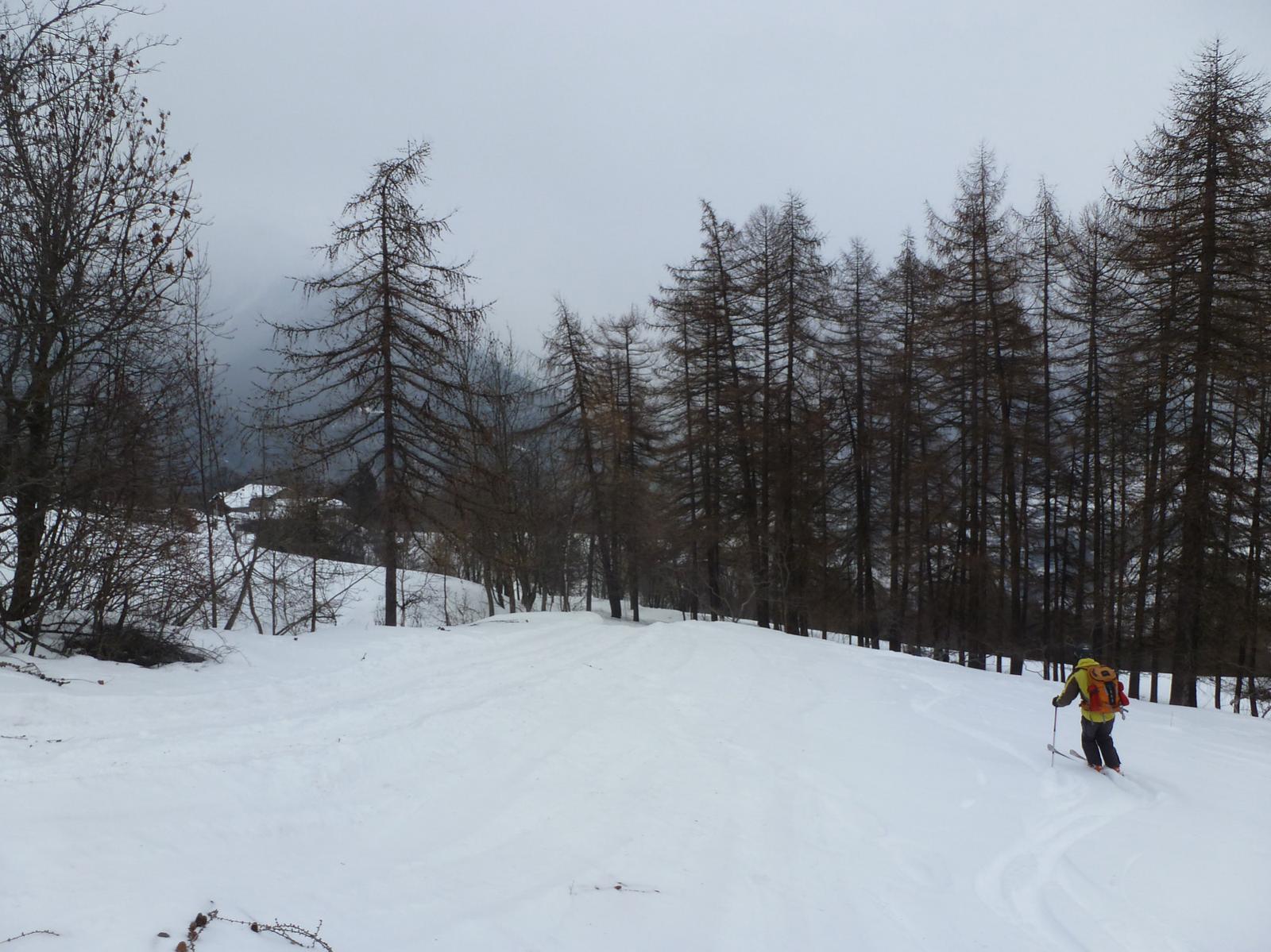
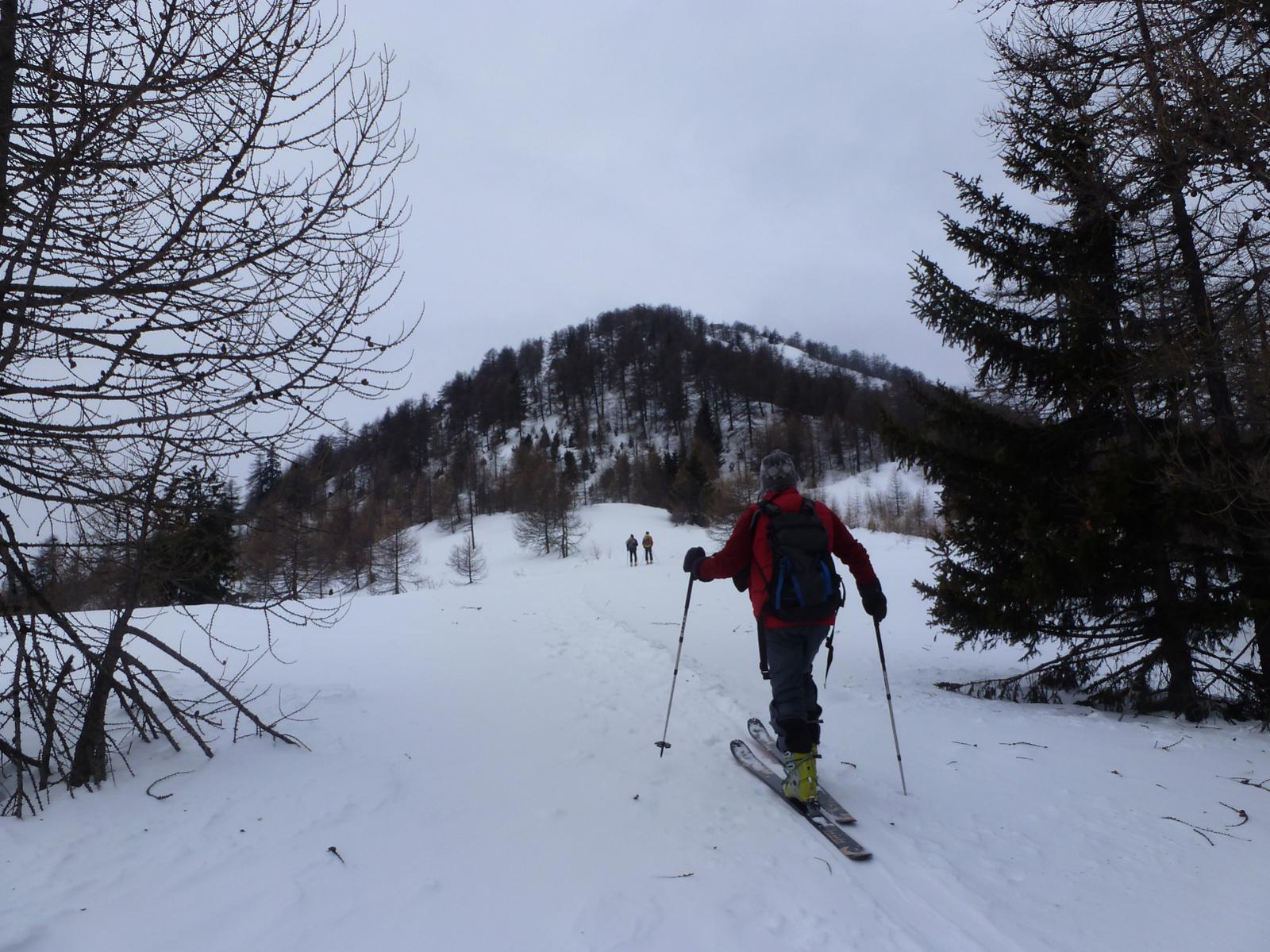
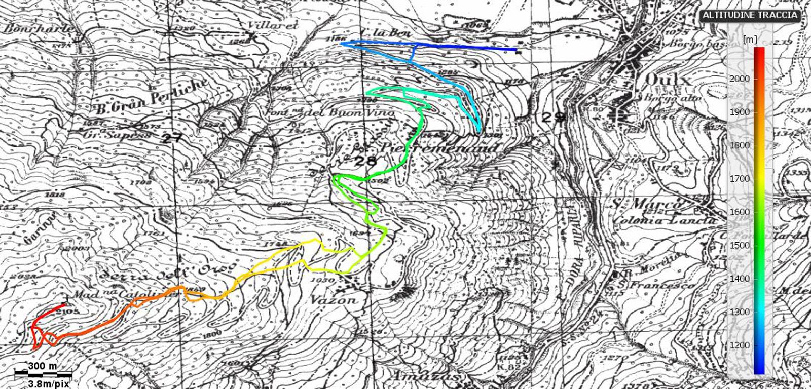
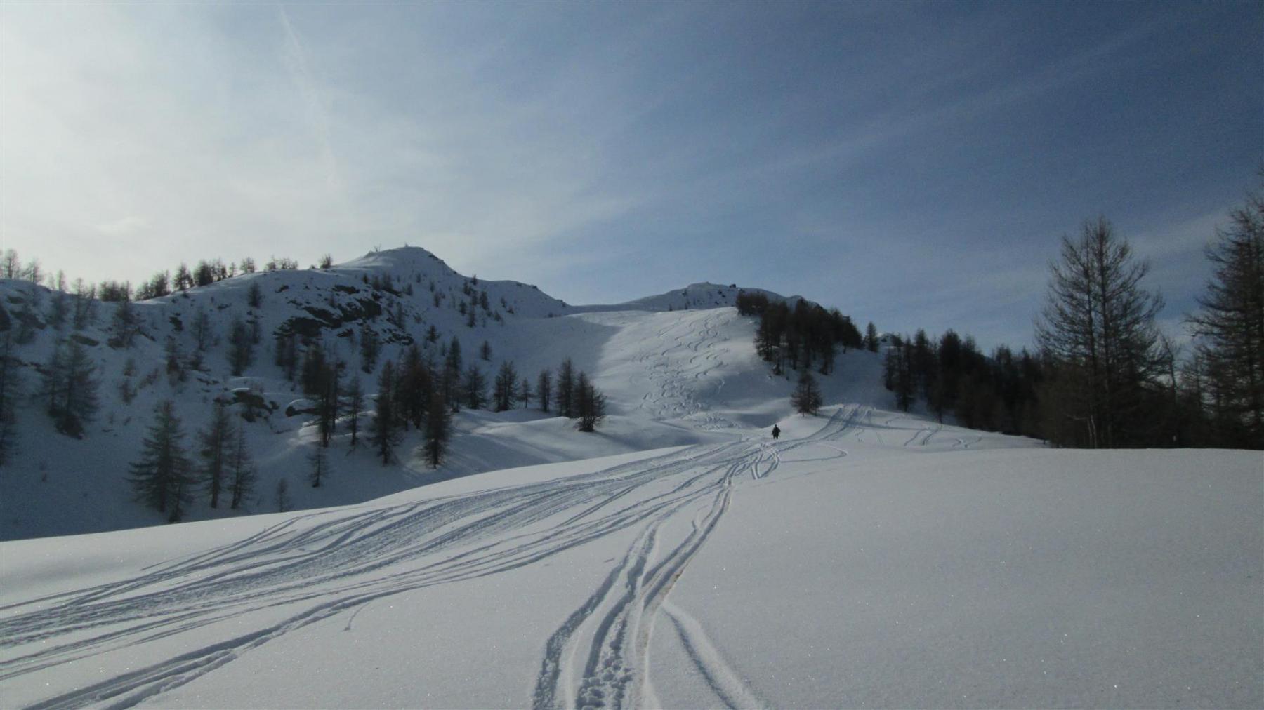
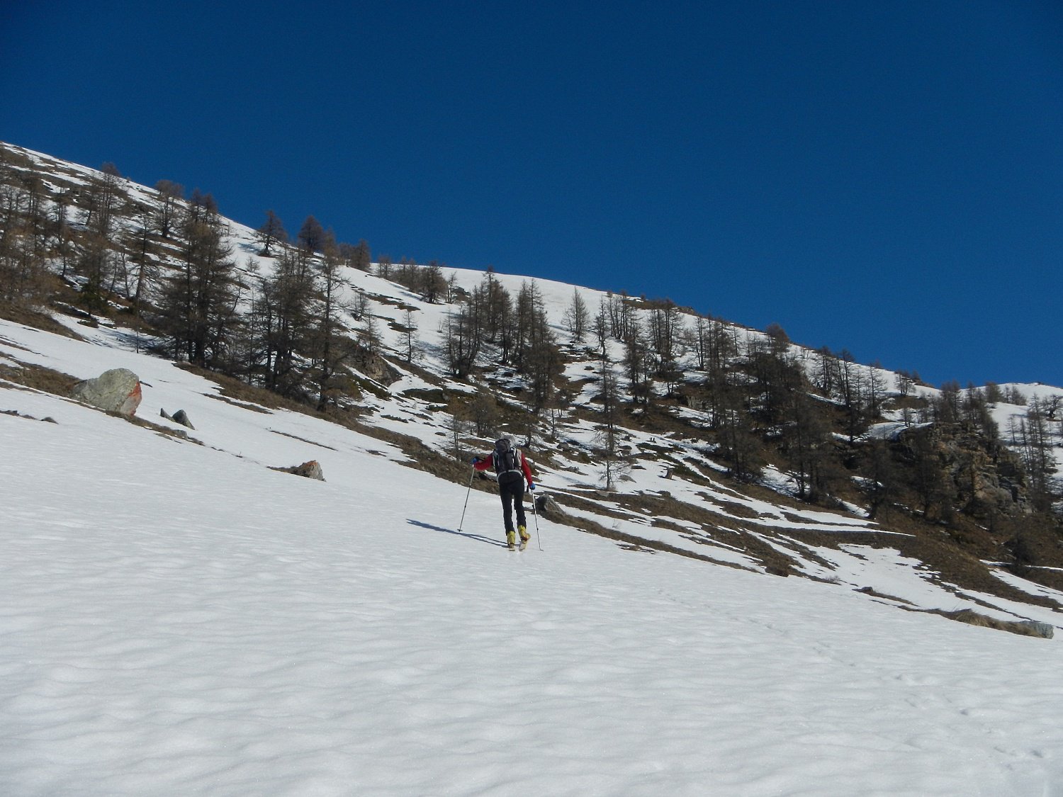
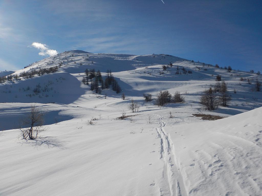
Dal piazzale del Municipio si attraversa il torrente su ponte e si percorre la mulattiera estiva che raggiunge la strada e va alle fraz. Pierre Menaud e Vazon. Per ampi pendii si riattraversa la strada che si percorre a tratti fino alla cresta terminale. Discesa per il versante di Beaulard.
Ultima revisione 17/05/2024
Nelle vicinanze Mappa
Itinerari
10/01/2016 TO, Oulx D+ 1115 m MS Nord-Ovest
Notre Dame de Broussailles (Cappella) da San Marco
 1.8Km
1.8Km
27/12/2003 TO, Oulx D+ 800 m BS Ovest
Desertes (Passo) da Vazon
2.1Km
12/12/2019 TO, Sauze d'Oulx D+ 1119 m BS Nord
Triplex (Monte) da Jouvenceaux per il Vallone di Malafosse
2.9Km
13/12/2025 TO, Sauze d'Oulx D+ 880 m MS Ovest
Triplex (Monte) da Sauze d’Oulx
 3.9Km
3.9Km
07/03/2021 TO, Sauze d'Oulx D+ 941 m MS Est
Nera (Rocca) da Sauze d’Oulx
 3.9Km
3.9Km
29/12/2025 TO, Oulx D+ 1401 m BS Sud
Vin Vert (Monte) da Savoulx
4.1Km
23/02/2017 TO, Oulx D+ 1523 m MS Sud
Aigle (Rochers de l’) da Savoulx
 4.1Km
4.1Km
25/03/2023 TO, Salbertrand D+ 838 m OS Sud-Ovest
Seguret (Monte) Versante Sud-Ovest
 4.2Km
4.2Km
13/02/2026 TO, Sauze d'Oulx D+ 1027 m BS Nord-Ovest
Genevris (Monte) da Gran Villard
 4.8Km
4.8Km
04/01/2026 TO, Sauze d'Oulx D+ 857 m MS Nord-Ovest
Moncrons (Punta di) da Sauze d’Oulx
 4.9Km
4.9Km
Servizi
2Km
2.1Km
La Chardouse Rifugio
Oulx
3.6Km
L’Cantun B&B
Sauze D'oulx
3.9Km
orto del frate Ristorante
Sauze d'Oulx
3.9Km
paddy mc ginty Ristorante
Sauze d'Oulx
5.9Km
L’Eitabl Ristorante
Oulx
7.8Km
Dell’Orsa Bar
Oulx
7.9Km
Il Covo di nord ovest Ristorante
Salbertrand
8Km
Guido Rey Rifugio
Oulx
9.6Km