2.8Km
2.8Km


Note
 0m
0m
0m
50m
50m
50m
50m
50m
50m
50m
0m
0m
0m
50m
50m
50m
50m
50m
50m
50m
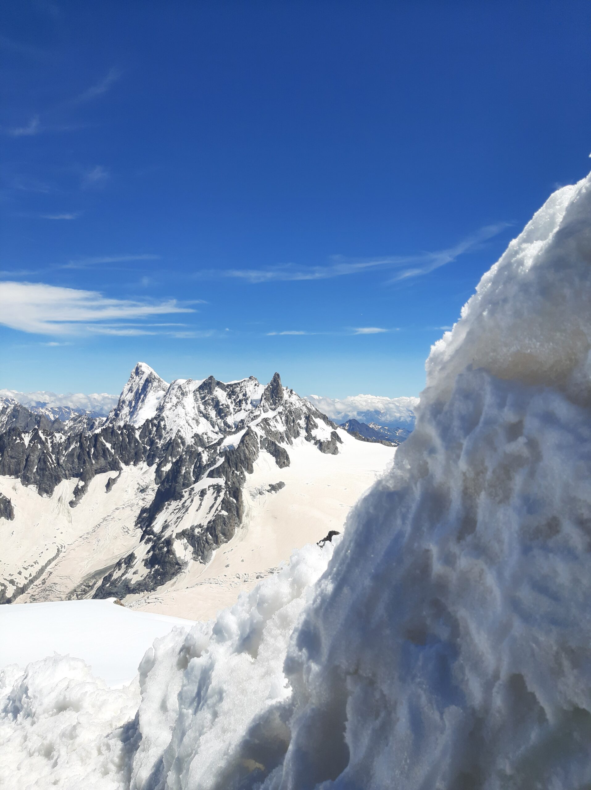
Percorso su ghiacciai immensi e molto tormentati (a seconda del periodo).
Avvicinamento
.
Descrizione
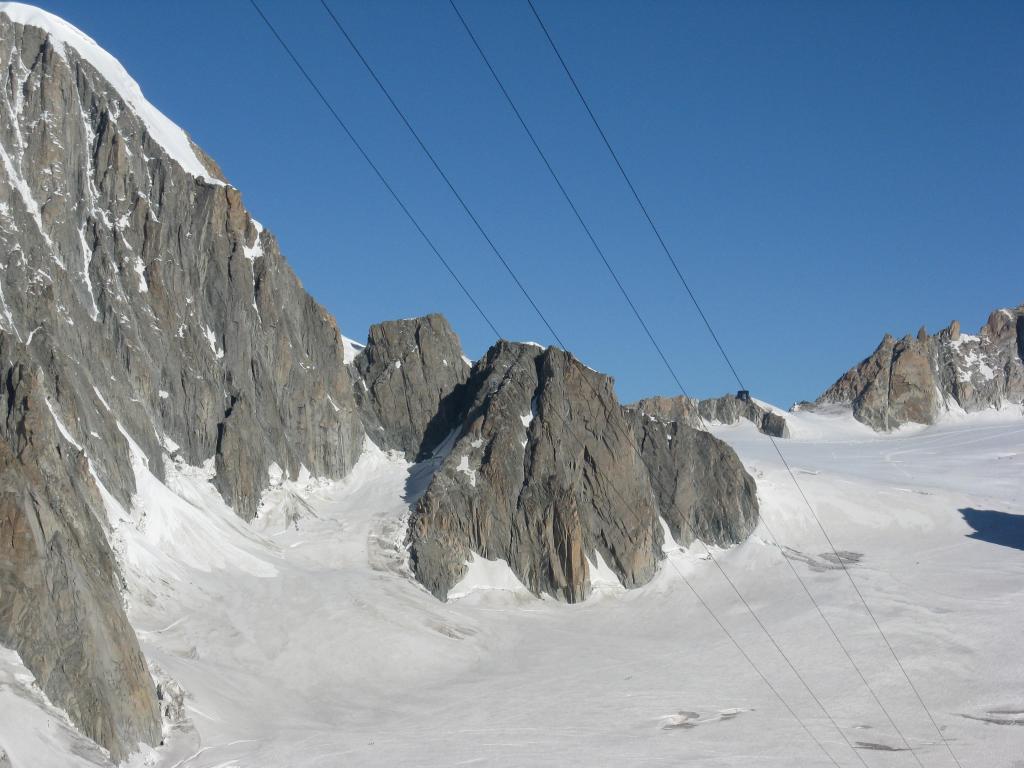
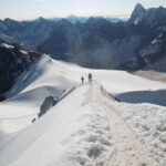
Dalla stazione di Punta Helbronner percorrere la passerella ad est sino ad arrivare ad un cancelletto da dove si mette piede sul ghiacciaio procedendo in direzione ovest verso la sella del Col des Flambeaux (3407m).
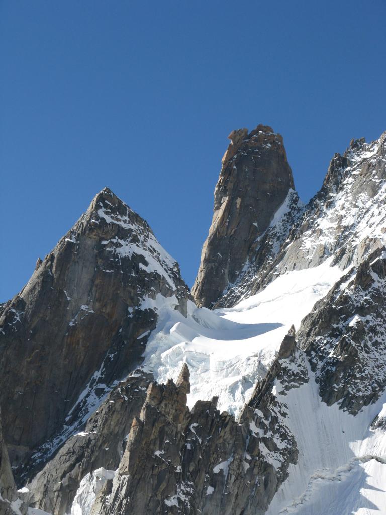
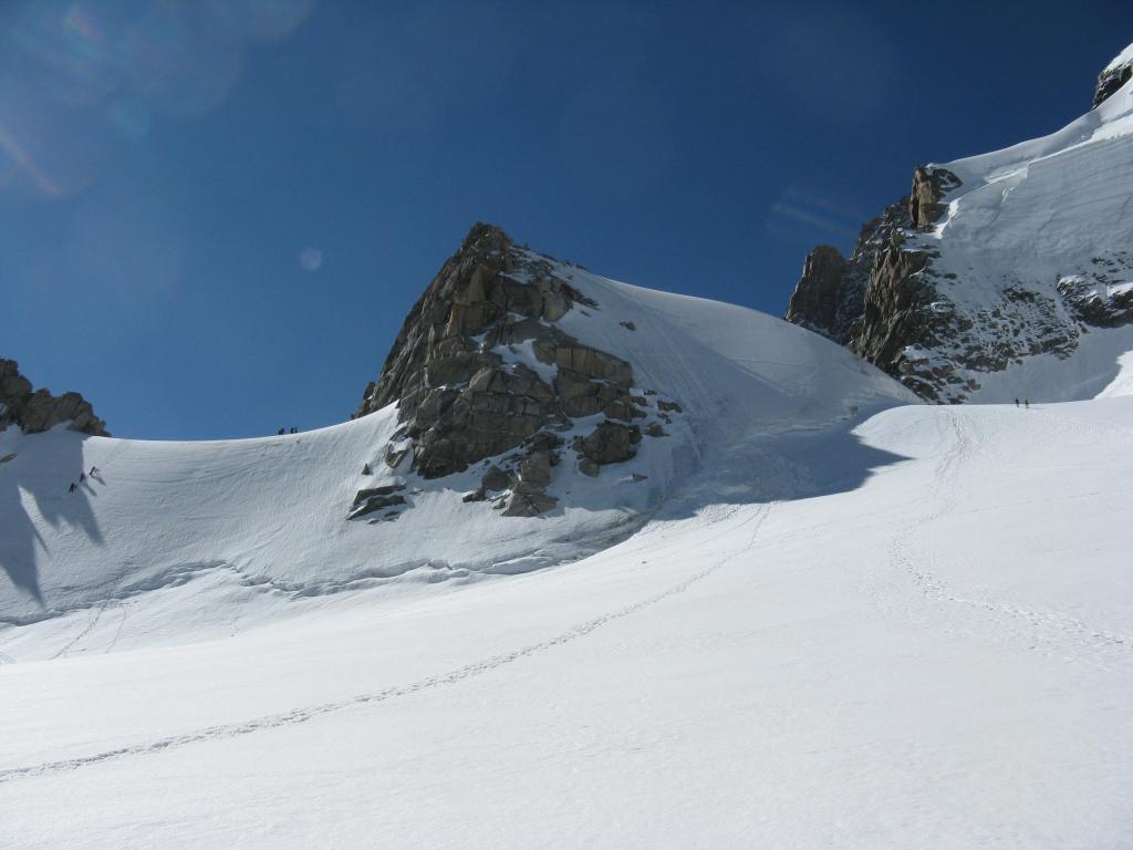
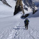
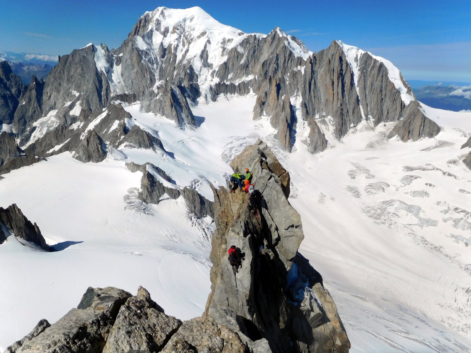
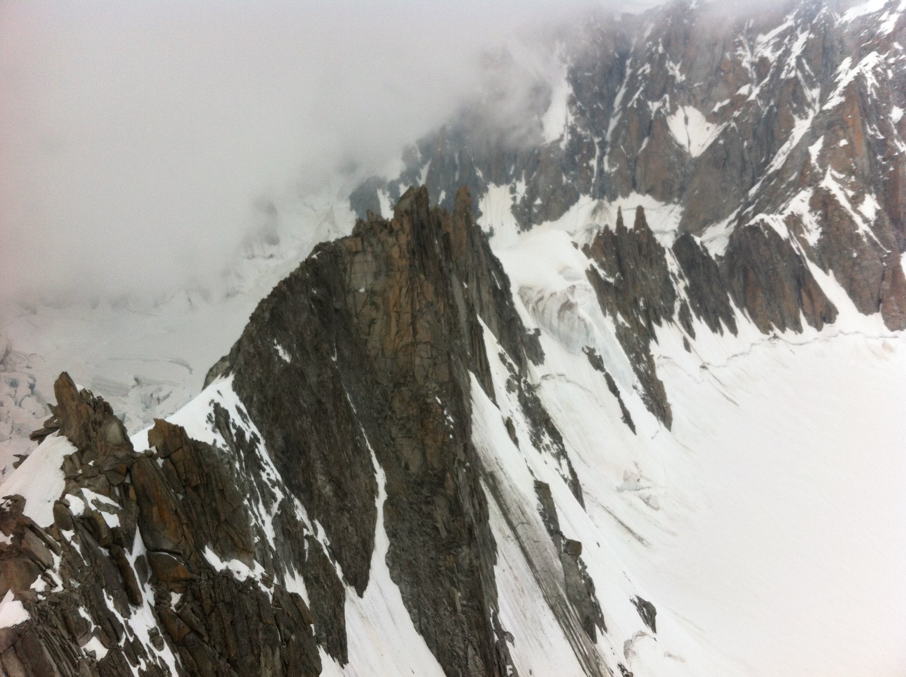
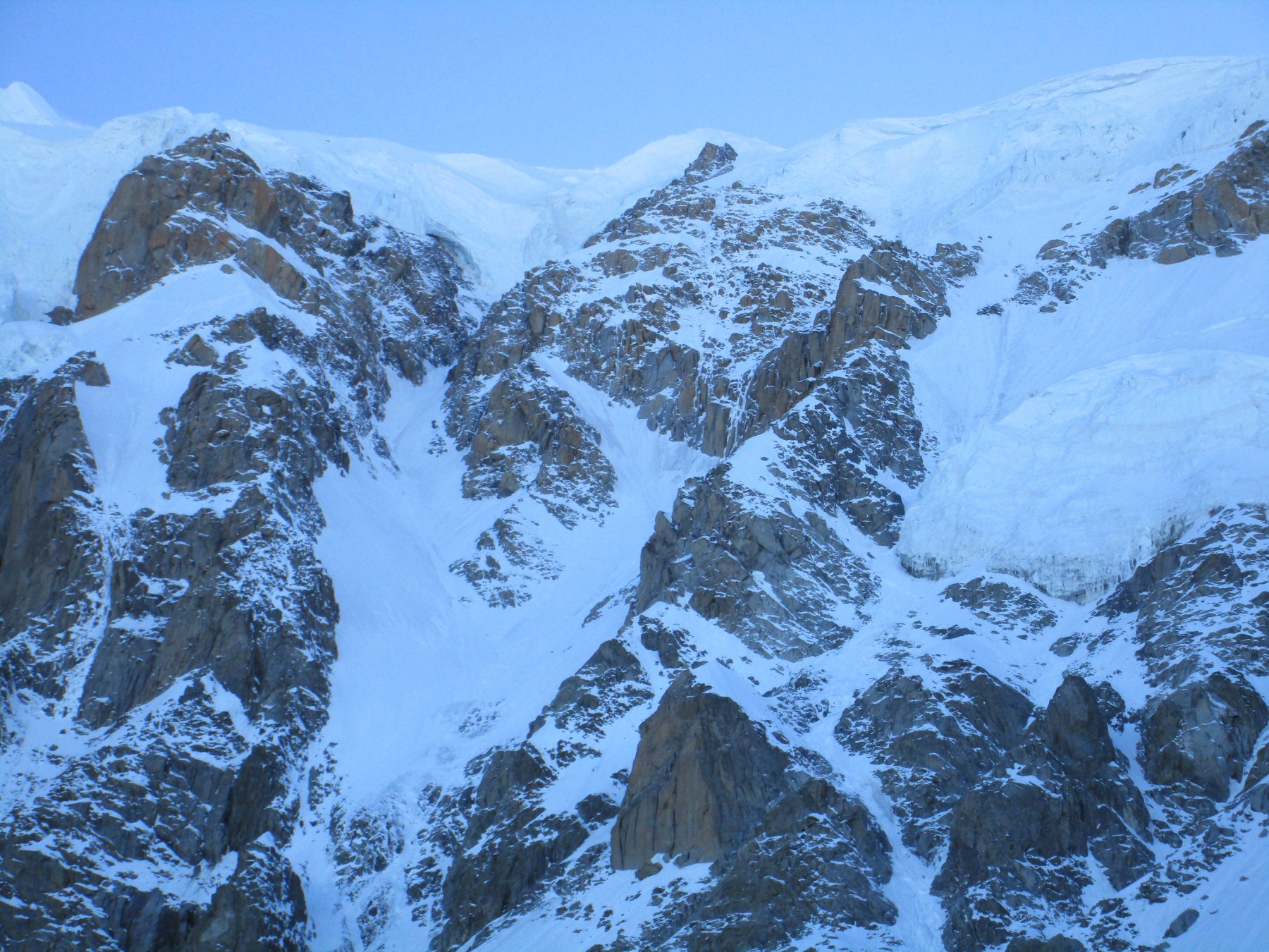
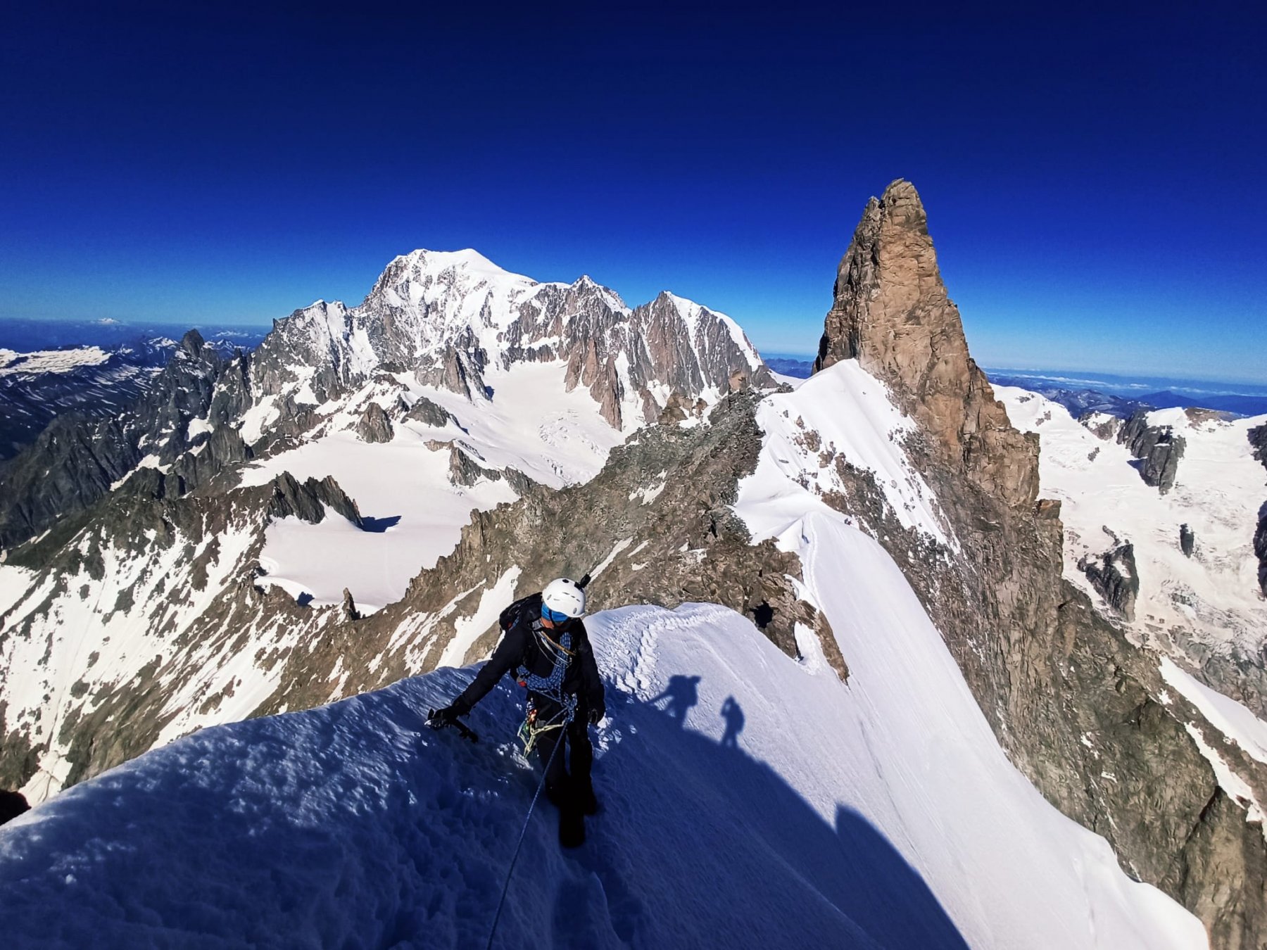
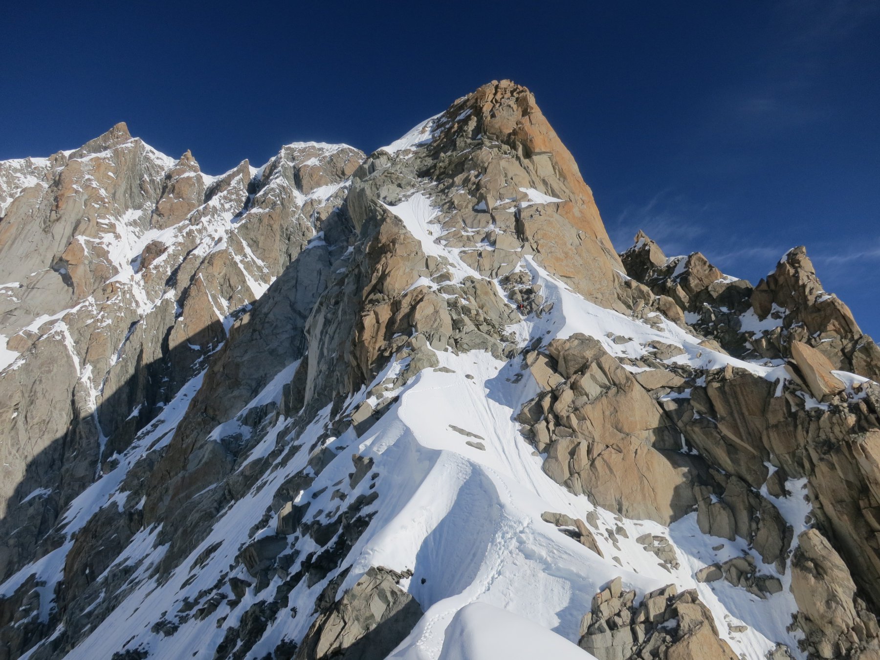
Dal colle si procede in discesa puntando verso il magnifico circo glaciale ai piedi del Mont Maudit passando ai piedi dell’Aiguille des Thoules sino ad incontrare la biforcazione delle tracce (solitamente presenti) per la Tour Ronde. Si prosegue sempre in discesa sino a raggiungere un ripiano sul ghiacciaio, qui si compie una virata a destra portandosi su un tratto abbastanza tormentato da crepacci. In questo frangente si attraversano alcuni ponti ghiacciati sui crepacci: si consiglia vivamente di seguire la traccia e di valutare attentamente le condizioni del passaggio prima di affrontarlo. Proseguire al cospetto di uno dei punti più suggestivi del massiccio: sulla sinistra si ergono imperiose le superbe bastionate rocciose del Mont Maudit; su queste aguzze guglie (Grand Capucin, Petit Capucin, Pic Adolphe ecc.) sono state scritte alcune memorabili pagine di storia alpinistica. Il percorso prosegue ancora in leggera discesa sino a raggiungere il suo punto di minor elevazione (3155m) ai piedi della Pyramide du Tacul (attenzione ad eventuali cadute di seracchi).
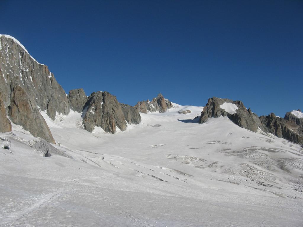
Superato l’eventuale ostacolo riprendere salita verso il Col du Gros Rognon. La salita è costante, la traccia, normalmente, si tiene al centro del pendio ghiacciato lasciando a sinistra le pareti rocciose della Punta Lachenal e a destra il bastione del Gros Rognon. Terminata la salita si raggiunge il Col du Gros Rognon (3415m).
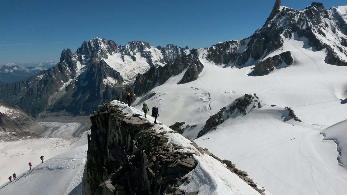
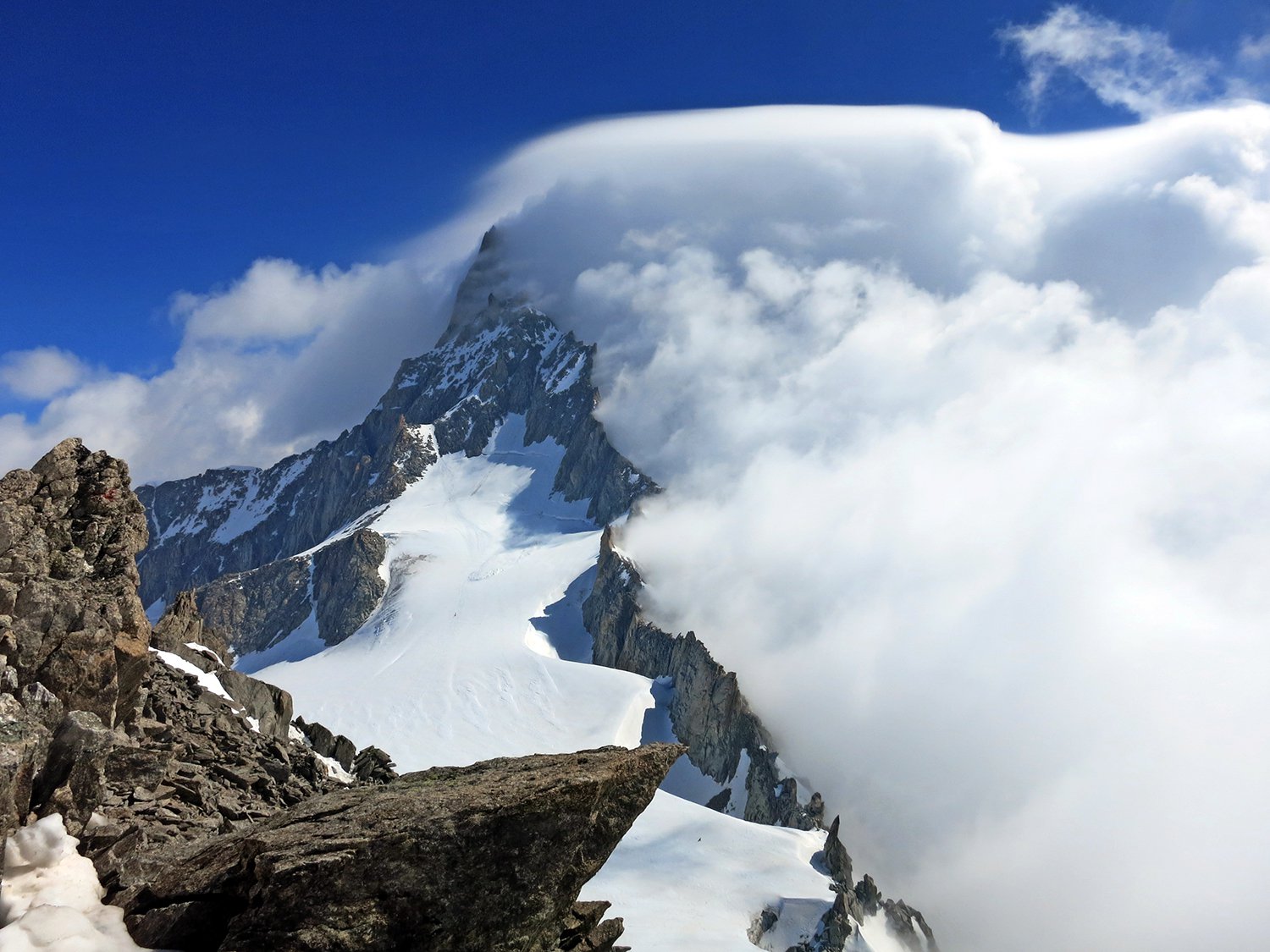
Svoltare ora a sinistra e costeggiare ad una certa distanza la cresta Est-Nord-Est dalla P. Lachenal fino a giungere sotto ad un evidente colletto posto alla sua destra (grossa crepaccia terminale). Dal colletto si sale puntando in direzione dell’ormai vicina vetta fino a raggiungerla.
- Cartografia:
- IGN 1:25000 3631ET - St-Gervais-les-Bains Massif du Mont Blanc
- Bibliografia:
- Guida dei Monti d'Italia - Monte Bianco I
Nelle vicinanze Mappa
Itinerari
08/06/2025 AO, Courmayeur D+ 400 m PD- Ovest
Toules (Aiguilles des) Versante NO e cresta NO
 0m
0m
02/06/2023 AO, Courmayeur D+ 250 m PD+ Varie
Vierge (la) da Punta Helbronner
 0m
0m
23/06/2026 AO, Courmayeur D+ 638 m AD Sud-Ovest
Dente del Gigante Via Normale
 0m
0m
11/07/2016 AO, Courmayeur D+ 900 m PD+ Sud-Ovest
Tour Ronde Cresta SO dal Col du Trident
 50m
50m
17/07/2024 AO, Courmayeur D+ 800 m F Varie
Vallèe Blanche traversata Punta Helbronner-Aiguille du Midi
 50m
50m
12/07/2026 AO, Courmayeur D+ 322 m PD+ Nord-Est
Marbrées (Aiguilles, Punta Nord) Cresta NE
 50m
50m
19/07/2026 AO, Courmayeur D+ 350 m AD Varie
Entreves (Aiguille d’) Cresta SO
 50m
50m
05/07/2020 AO, Courmayeur D+ 1600 m D Est
Bianco (Monte) – Sentinella Rossa
 50m
50m
11/07/2025 AO, Courmayeur D+ 900 m AD Varie
Rochefort (Aiguille e Dome de) Cresta di Rochefort
 50m
50m
18/06/2026 AO, Courmayeur D+ 1300 m D Sud-Est
Maudit (Mont) Cresta Kuffner
 50m
50m