100m
100m
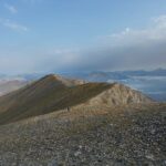
Descrizione
 50m
50m
50m
50m
50m
50m
50m
2Km
50m
50m
50m
50m
50m
50m
50m
2Km
100m
100m
150m
1.9Km
3.4Km
6.2Km
6.9Km
6.9Km
6.9Km
6.9Km
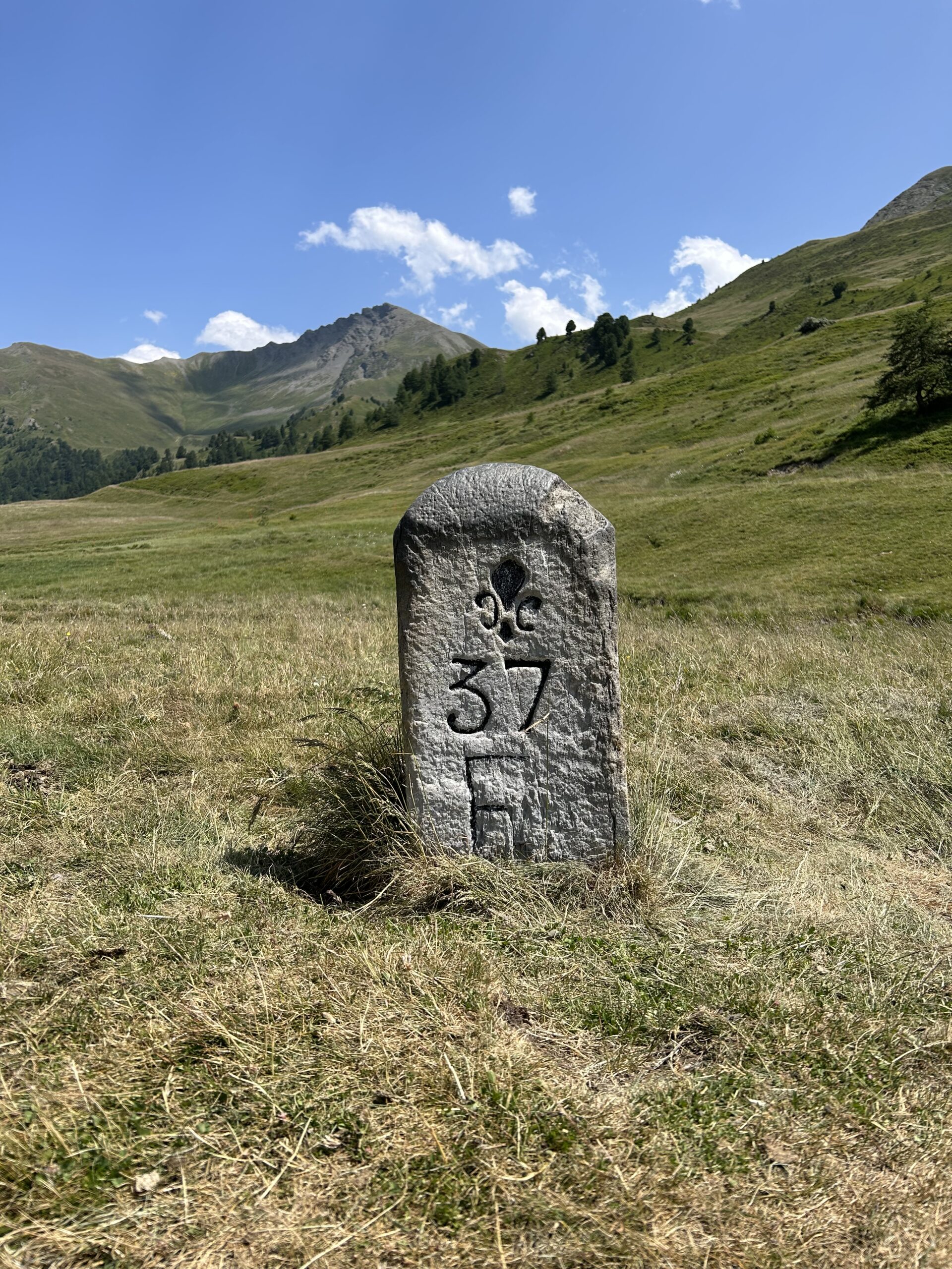
Da Rhuilles salire lungo la stradina ( o tagliando con alcune scorciatoie) alle Grange Chabaud e da qui seguire il fondovalle, tenendosi sulla dx idrografica, fino al bivio per la Dormillouze.
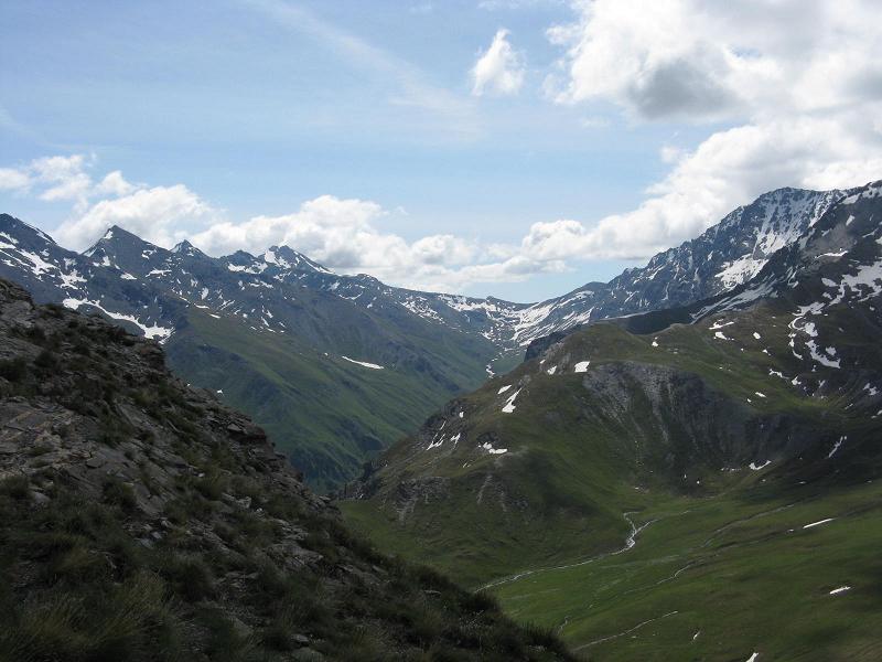
Continuando sul fondo valle si raggiunge l’ampia sella in lieve salita.
- Cartografia:
- IGC 105 1:25000 Sestriere, Calviere, Sansicario - Prali
Nelle vicinanze Mappa
Itinerari
30/07/2011 TO, Cesana Torinese D+ 2300 m EE Tutte
Ramière (Punta) o Bric Froid e Monte Appenna da Rhuilles, traversata Val Thuras – Val Troncea (3 gg)
 50m
50m
07/09/2025 TO, Cesana Torinese D+ 1300 m E Nord
Dormillouse (Cima) e Bivacco Matteo Corradini da Rhuilles
 50m
50m
16/08/2022 TO, Cesana Torinese D+ 1027 m EE Nord-Est
Dorlier (Cima) da Rhuilles per il Monte Giassiez
 50m
50m
26/04/2011 TO, Cesana Torinese D+ 750 m EE Est
Corbioun (Monte) da Rhuilles per il Colle Begino
 50m
50m
21/06/2020 TO, Cesana Torinese D+ 840 m EE Sud-Est
Fournier (Cima) da Rhuilles, anello per Col Chabaud, Colle Begino, Roche Courbe
 50m
50m
14/06/2026 TO, Cesana Torinese D+ 856 m E Nord
Giassiez (Monte) o Giaissez da Rhuilles
 50m
50m
18/08/2025 TO, Cesana Torinese D+ 1443 m EE Varie
Terra Nera (Monte) da Rhuilles, anello per i monti Giaissez, Dorlier, Dormillouse e Vallone Clausis
 50m
50m
03/09/2023 TO, Cesana Torinese D+ 1288 m EE Nord-Ovest
Dormillouse (Cima) da Rhuilles, anello per Monte Giaissez e Cima Dorlier
50m
21/08/2015 TO, Cesana Torinese D+ 1800 m EE Nord
Thuras, Rasis, Malrif, Chabaud (Colli) da Rhuilles, anello per les Fonts
50m
11/09/2023 TO, Cesana Torinese D+ 1200 m EE/F Varie
Furgon (Monte) da Thures
 2Km
2Km
Servizi
100m
100m
La Tana degli Orsi B&B
Cesana Torinese
150m
La Crota B&B
Cesana Torinese
1.9Km
La Fontana del Thures Rifugio
Cesana Torinese
3.4Km
Centro Ristorante
Cesana Torinese
6.2Km
Misun La Font Ristorante
Sauze di Cesana
6.9Km
L’Ibarus Rifugio
Cesana Torinese
6.9Km
Piergiorgio Frassati B&B
Cesana Torinese
6.9Km
Casa Cesana Bar
Cesana Torinese
6.9Km