1Km
1Km


Note
Storico
 50m
50m
50m
50m
50m
50m
50m
50m
50m
50m
50m
50m
50m
50m
50m
50m
50m
50m
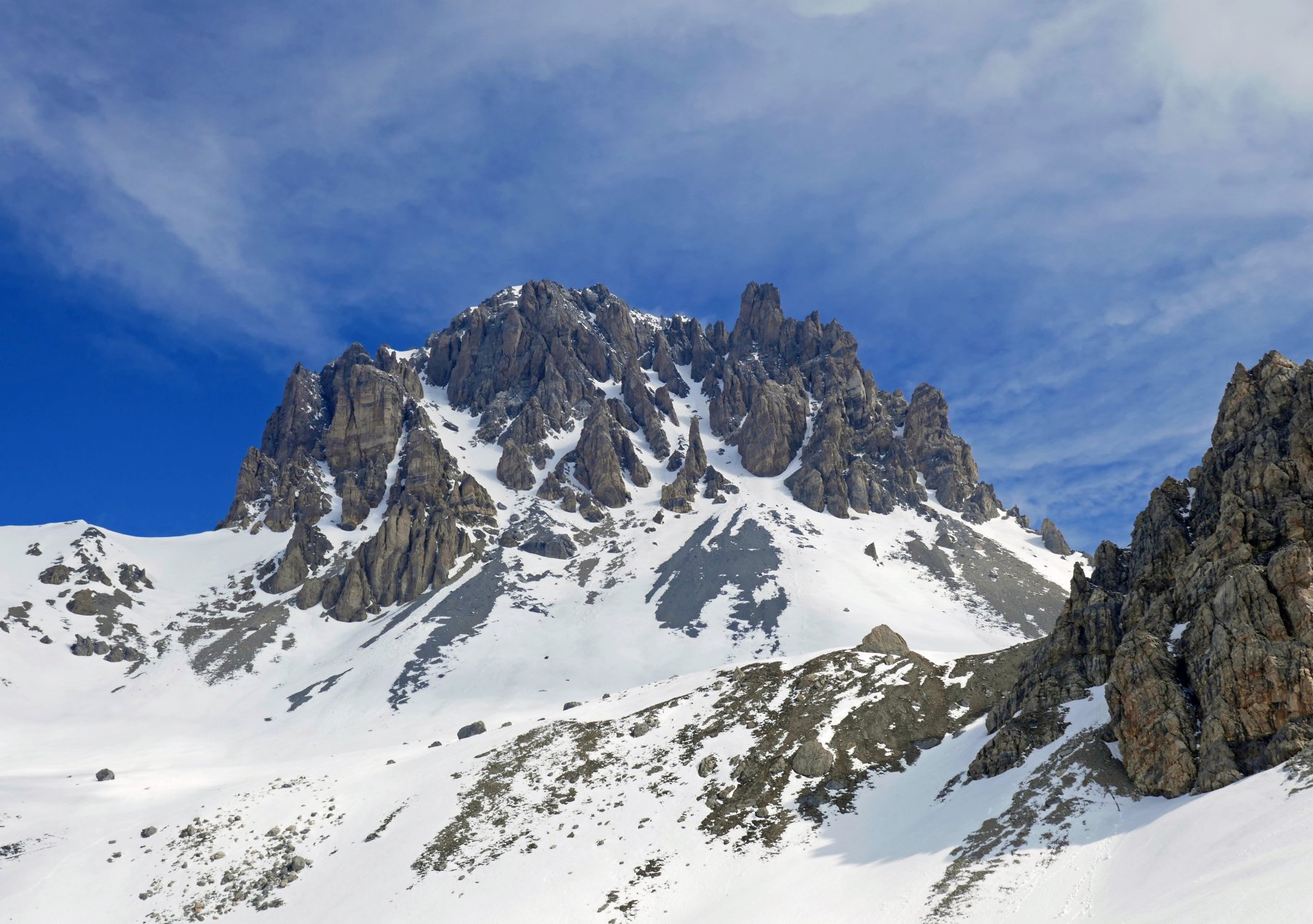
Itinerario non particolarmente lungo e di facile accesso, potrebbero tornare utili i ramponi per il tratto dal Colle delle Munie alla cima, in caso di neve dura.
Sulla cartografia francese la cima è chiamata Tete de l'Alp.
Avvicinamento
Sulla cartografia francese la cima è chiamata Tete de l'Alp.
Da Cuneo si raggiunge Borgo San Dalmazzo, quindi si risale interamente la Valle Stura di Demonte sconfinando in Francia per il Colle della Maddalena. Si scende in territorio per poche centinaia di metri, fino alla località le Pontet, dove appunto si trova il ponte sul Rio Oronaye, parecchia possibilità di posteggio a bordo strada.
Descrizione
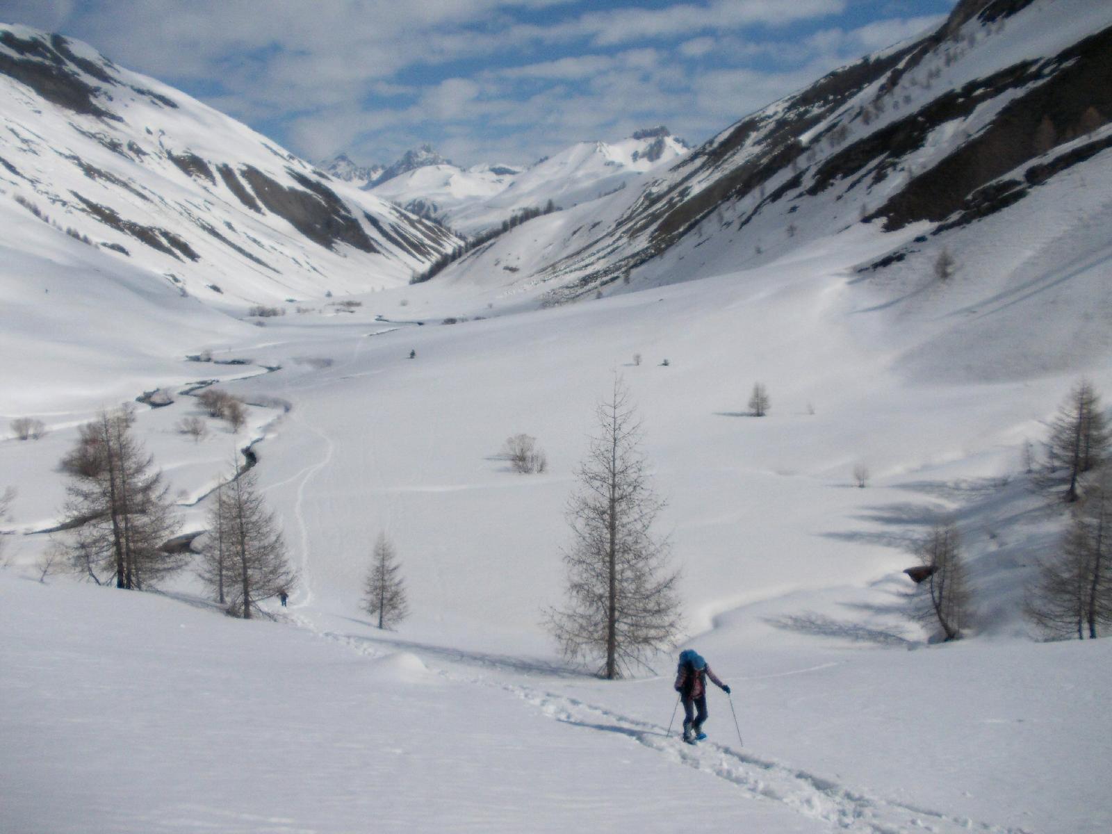
Dal ponticello sul Torrente Oronaye le Pontet 1950 m si segue il sentiero che sale verso NE, sui pendii nevosi del Vallone Oronaye, sul lato sinistro del torrente, passando nei pressi di una piccola costruzione in muratura, con una serie di serpentine si giunge ad una spianata, dove il Vallone Oronaye si biforca.
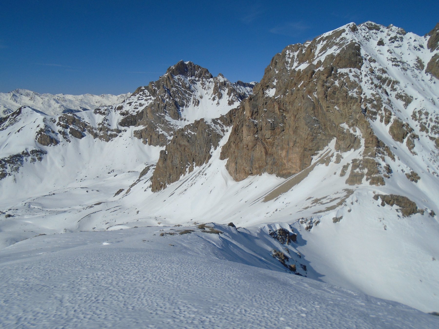
Qui si deve piegare a sinistra, tenendosi al centro del vallone si arriva nei pressi di un vecchio pluviometro e di un cartello segnaletico che indica la via per il Col de la Gipière de l’Oronaye. Si prosegue quindi sulla sinistra, seguendo il centro del vallone, passando nei pressi del Gias Villadel e risalendo successivamente i pendii nevosi fino a raggiungere la spianata del Col Gipière de l’Oronaye 2482 m.
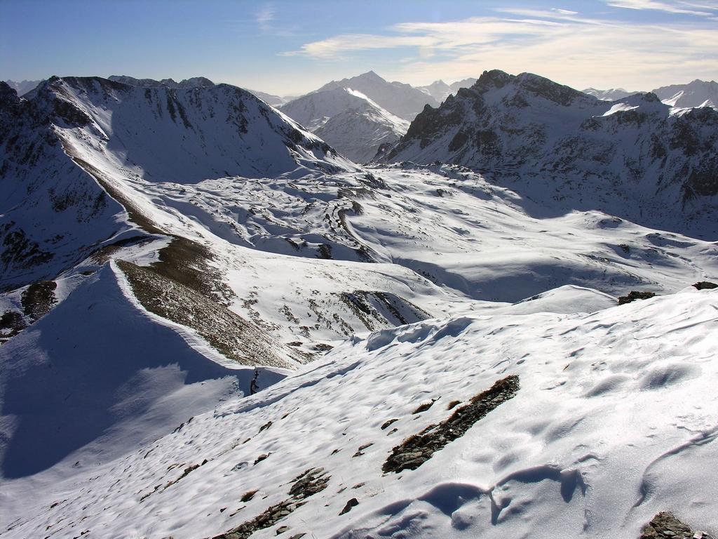
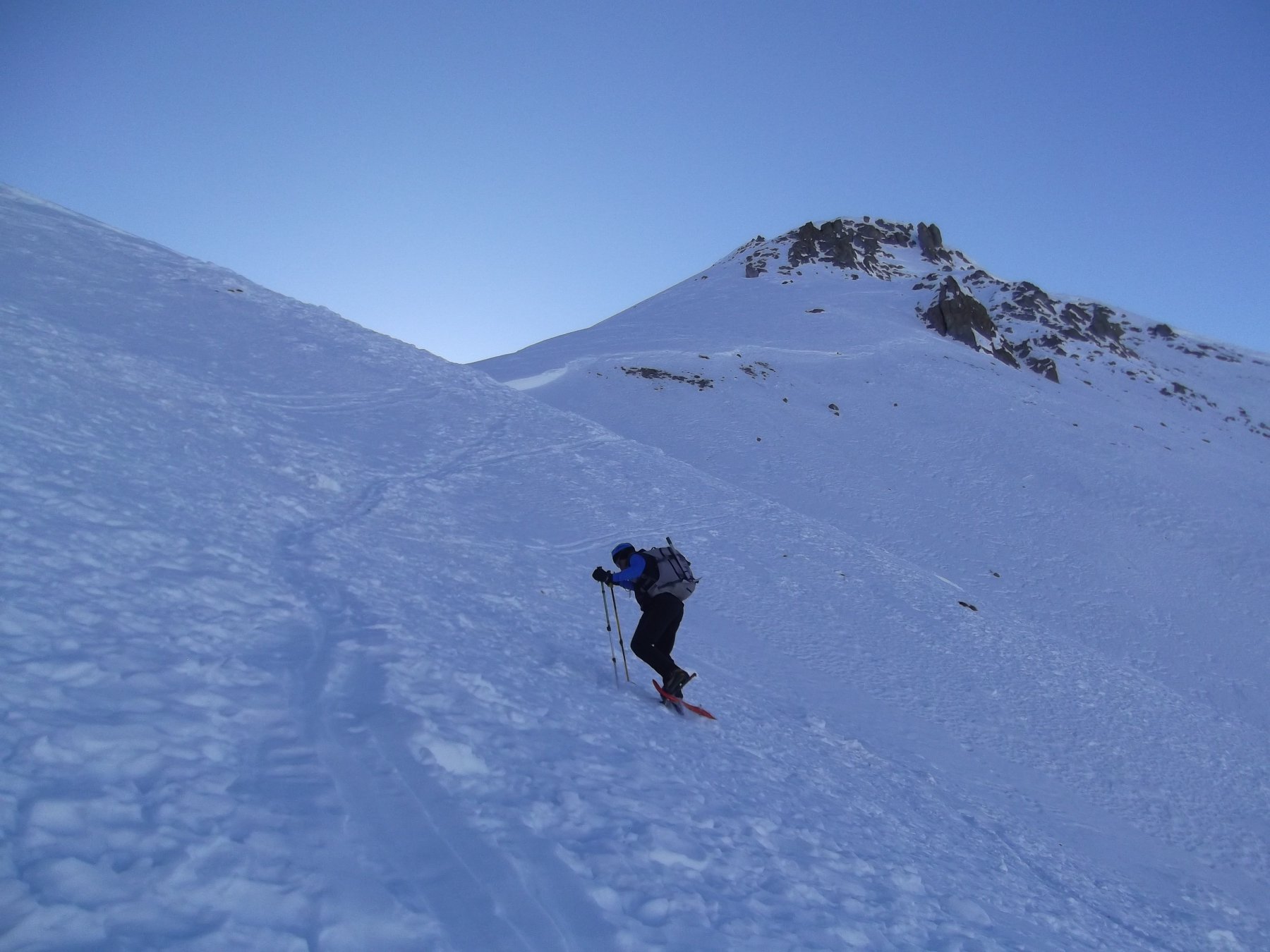
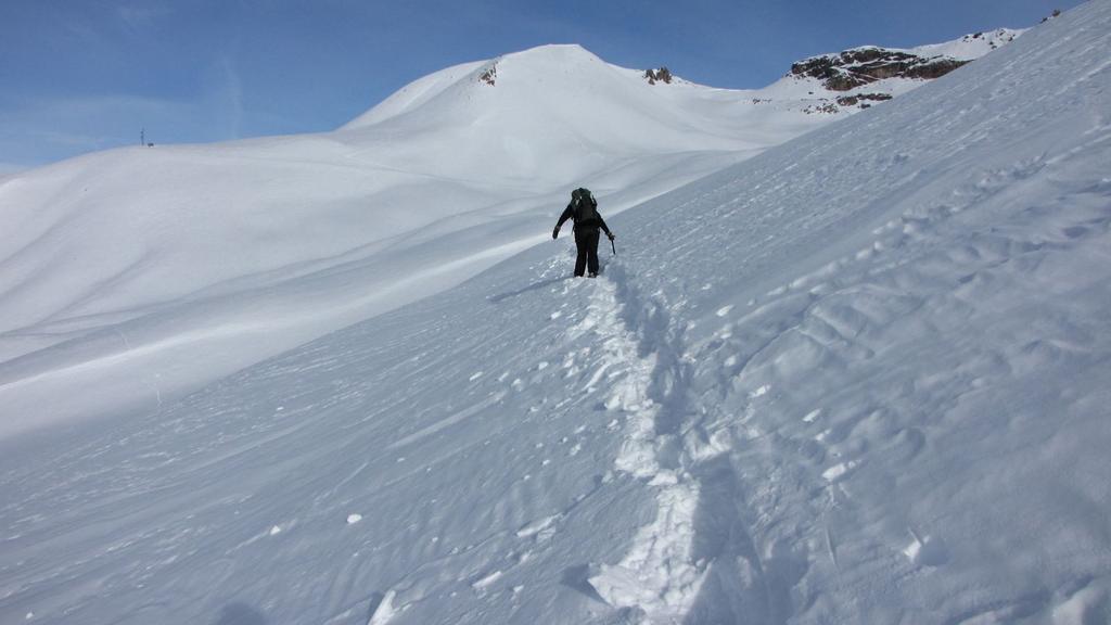
Dal Colle si vede sulla destra il Colle delle Munie e il Monte Soubeyran con il percorso che ancora resta da fare. Dal colle si piega verso SE superando il leggera salita i pendii nevosi sottostanti la Cima delle Manse, e poi con alcuni saliscendi si raggiunge il Colle delle Munie 2531 m.
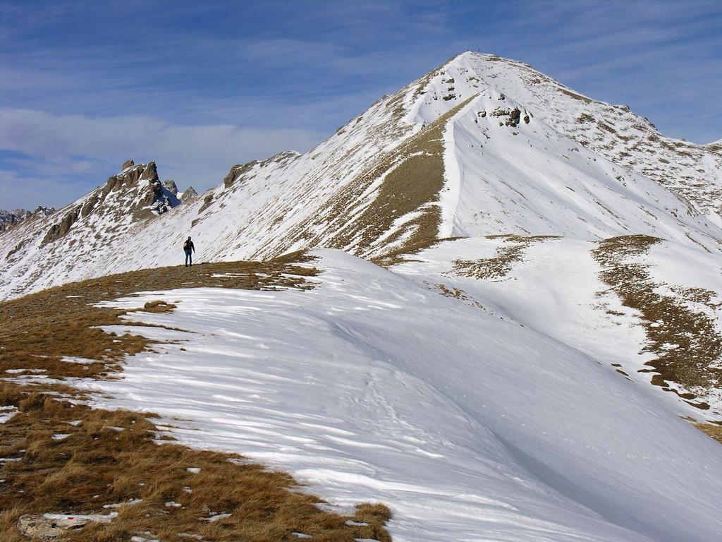
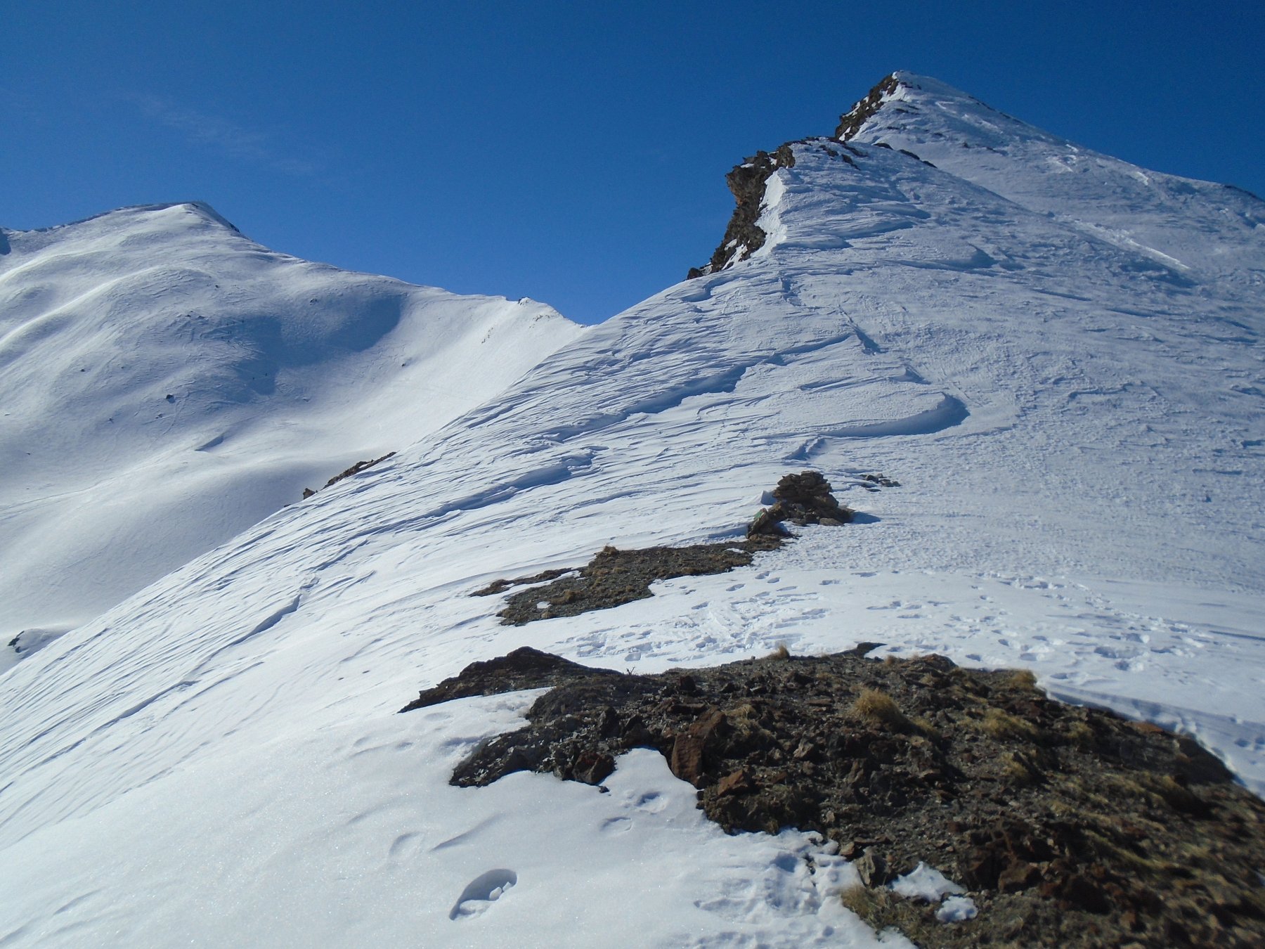
Dal Colle delle Munie si segue la cresta spartiacque su neve e facili roccette,si supera un primo rilievo e poi, sempre sul filo di cresta, su terreno più ripido si raggiunge la vetta molto panoramica, croce metallica.
La discesa avviene percorrendo a ritroso lo stesso itinerario.
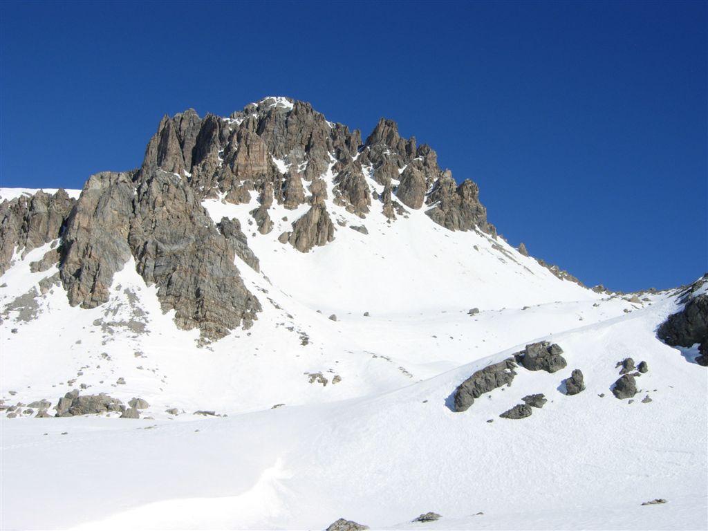
Il Monte Soubeyran si trova sullo spartiacque principale tra le Valli Maira e Ubayette a ridosso del Lac de la Reculaye.
- Cartografia:
- IGN foglio 3538 ET Aiguille de Chambeyron in scala 1:25000 oppure IGC foglio 7 Valli Maira-Grana-Stura in scala 1:50000
Nelle vicinanze Mappa
Itinerari
23/02/2019 Alpes-de-Haute-Provence, Val-d'Oronaye D+ 1200 m BR Sud-Ovest
Viraysse (Monte) o Cime de la Coste du Col da le Pontet per il Col de la Gipiere de l’Oronaye e la cresta SE
 50m
50m
14/12/2018 Alpes-de-Haute-Provence, Val-d'Oronaye D+ 334 m MR Nord
Lauzanier (Lac du) da le Pontet
 50m
50m
09/03/2019 Alpes-de-Haute-Provence, Val-d'Oronaye D+ 900 m BRA, PD Sud
Lievre (Bec du) da le Pontet per la Cima de Palets e il Rocher Peyron
 50m
50m
30/04/2017 Alpes-de-Haute-Provence, Val-d'Oronaye D+ 926 m BR Varie
Vanclava (Monte) o Tète de Vauclave da le Pontet
 50m
50m
05/02/2024 Alpes-de-Haute-Provence, Val-d'Oronaye D+ 800 m BR Sud
Manse (Cima delle) o Tete de Villadel e Tete Platasse da le Pontet
 50m
50m
07/01/2023 Alpes-de-Haute-Provence, Val-d'Oronaye D+ 700 m MR Sud
Dure (Tete) da le Pontet
 50m
50m
09/02/2025 Alpes-de-Haute-Provence, Val-d'Oronaye D+ 813 m BR Nord-Ovest
Pierassin (Monte) da le Pontet per il Vallone del Rio Oronaye
 50m
50m
02/03/2017 Alpes-de-Haute-Provence, Val-d'Oronaye D+ 500 m MR Nord-Ovest
Roburent (Colle e Laghi di) da le Pontet
 50m
50m
24/02/2019 Alpes-de-Haute-Provence, Val-d'Oronaye D+ 812 m OR Nord-Ovest
Ventasuso (Monte) da le Pontet per la Val Fourane e la cresta nord dalla Cima Vallonetto
 50m
50m
12/02/2023 Alpes-de-Haute-Provence, Val-d'Oronaye D+ 950 m BRA, F+ Varie
Reculaye (Pointe de la) da le Pontet per il Col de la Gipiere d’Oronaye
50m