6.2Km
6.2Km


Note
 0m
0m
50m
50m
50m
50m
50m
0m
0m
50m
50m
50m
50m
50m
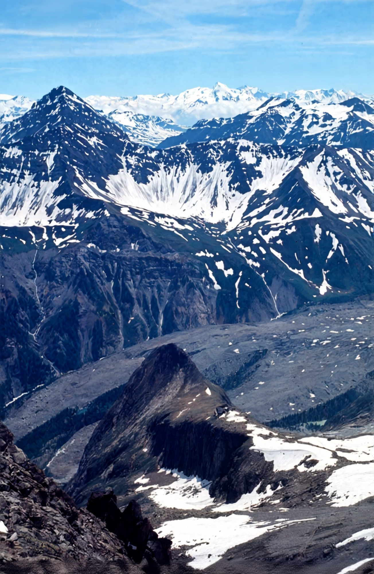
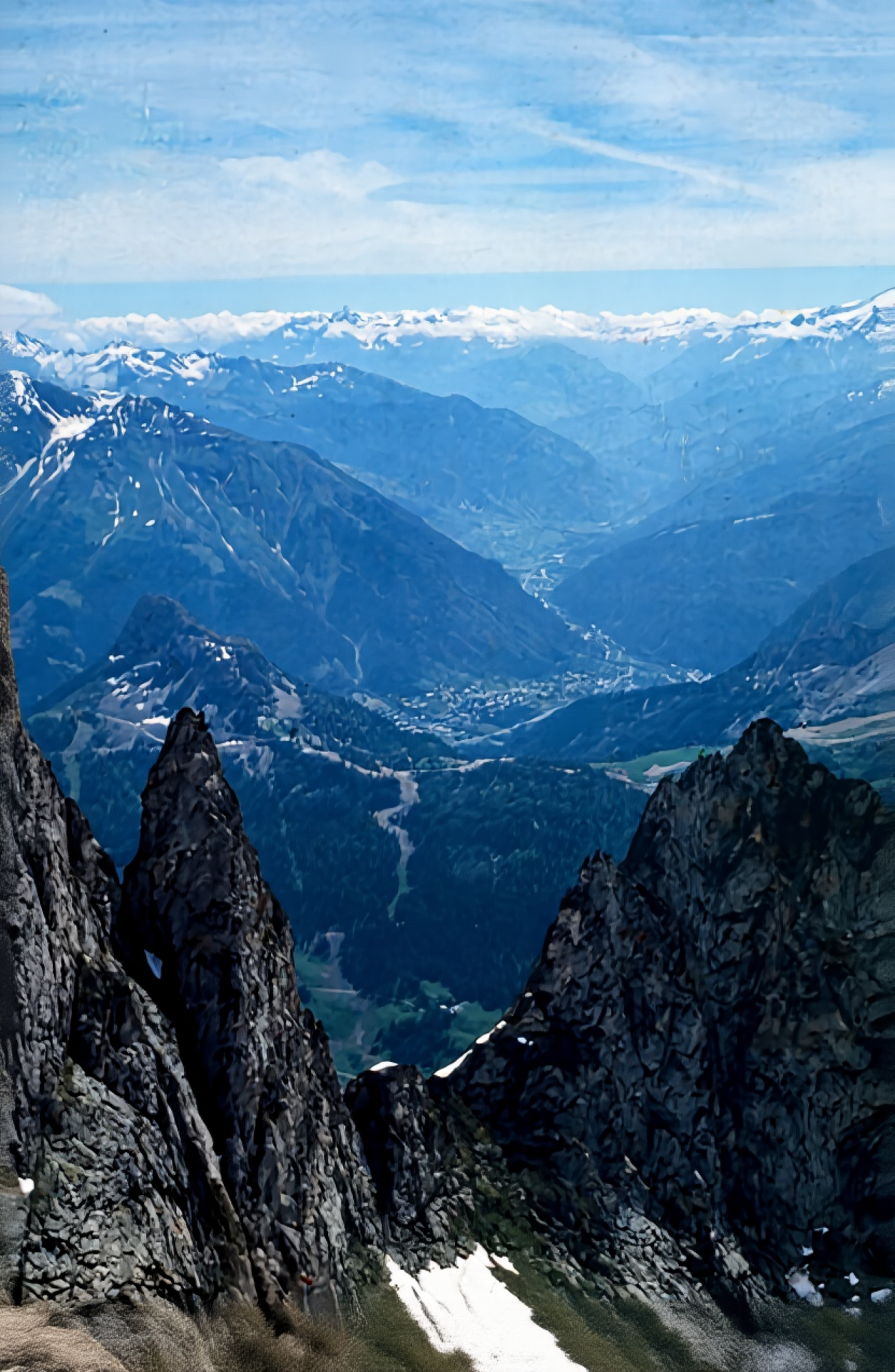
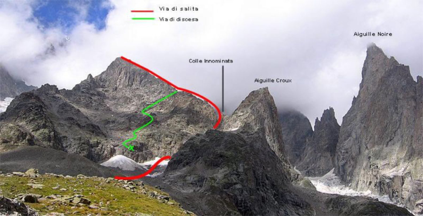
L'Aiguille Croux, dalla parete S, offre una scalata interessante, forse un pò troppo breve.
Avvicinamento
Salire al rifugio Monzino
Descrizione
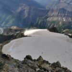
Dal rifugio Monzino salire su pendii erbosi, quindi sul piccolo ghiacciaio dello Chàtelet.
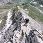
La via segue il largo couloir di placche esposte a SO che conduce a una piccola forcella ben evidente sulla cresta S e da questo punto, per la cresta dell’anticima, in vetta.
Salire obliquamente su rocce facili sino alla forcella della cresta S. Si è così alla base della “gran placca” che si supera direttamente (4°).
Si raggiunge una larga spalla, quindi la vetta. Anzichè superare le placche della parete SO si può salire, senza grandi difficoltà (3°), la cresta S dalla spalla di neve.
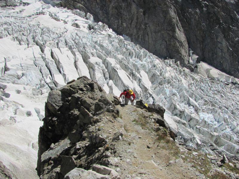
Discesa: dal couloir delle placche SO con un paio di doppie.
- Cartografia:
- Kompass 85
- Bibliografia:
- Il massiccio del Monte Bianco-Le 100 più belle ascensioni
Ultima revisione 02/07/2026
Nelle vicinanze Mappa
Itinerari
18/06/2026 AO, Courmayeur D+ 2162 m AD Sud-Est
Innominata (Punta) Cresta Est
 0m
0m
16/07/2026 AO, Courmayeur D+ 2100 m D Ovest
Innominata (Punta) Via del CAI di Tortona
 0m
0m
30/07/2017 AO, Courmayeur D+ 1922 m F Varie
Glaciers (Dome des) da La Visaille per il Rifugio Elisabetta
 50m
50m
20/09/2025 AO, Courmayeur D+ 1754 m F Sud-Est
Piccolo Monte Bianco o Petit Mont Blanc da La Visaille
 50m
50m
22/08/2008 AO, Courmayeur D+ 1300 m TD+ Sud-Ovest
Gugliermina (Pic) Via Gervasutti – Boccalatte
50m
30/07/1978 AO, Courmayeur D+ 2300 m AD Nord
Trelatete orientale (Aiguille de) dal versante Sud per il ghiacciaio sospeso
50m
10/08/2025 AO, Courmayeur D+ 1000 m PD Nord-Est
Pyramides Calcaires, cima SE – Cresta NE
 50m
50m
01/08/2010 AO, Courmayeur D+ 1630 m AD Varie
Miage (Col de) da La Visaille, traversata a Le Contamine
50m
05/08/2025 AO, Courmayeur D+ 2200 m D Sud
Glaciers (Aiguille des) Cresta SE via Kuffner
 50m
50m
18/08/2021 AO, Courmayeur D+ 1300 m F+ Sud
Gonella Francesco (Rifugio) al Dome da La Visaille
 50m
50m