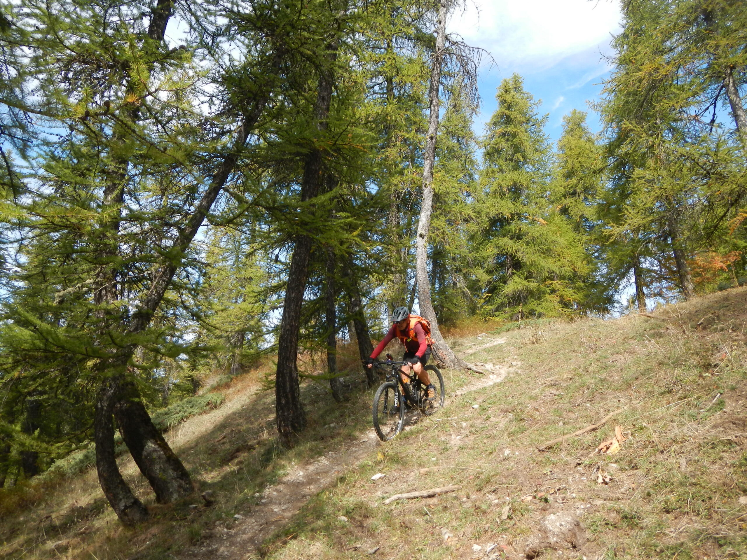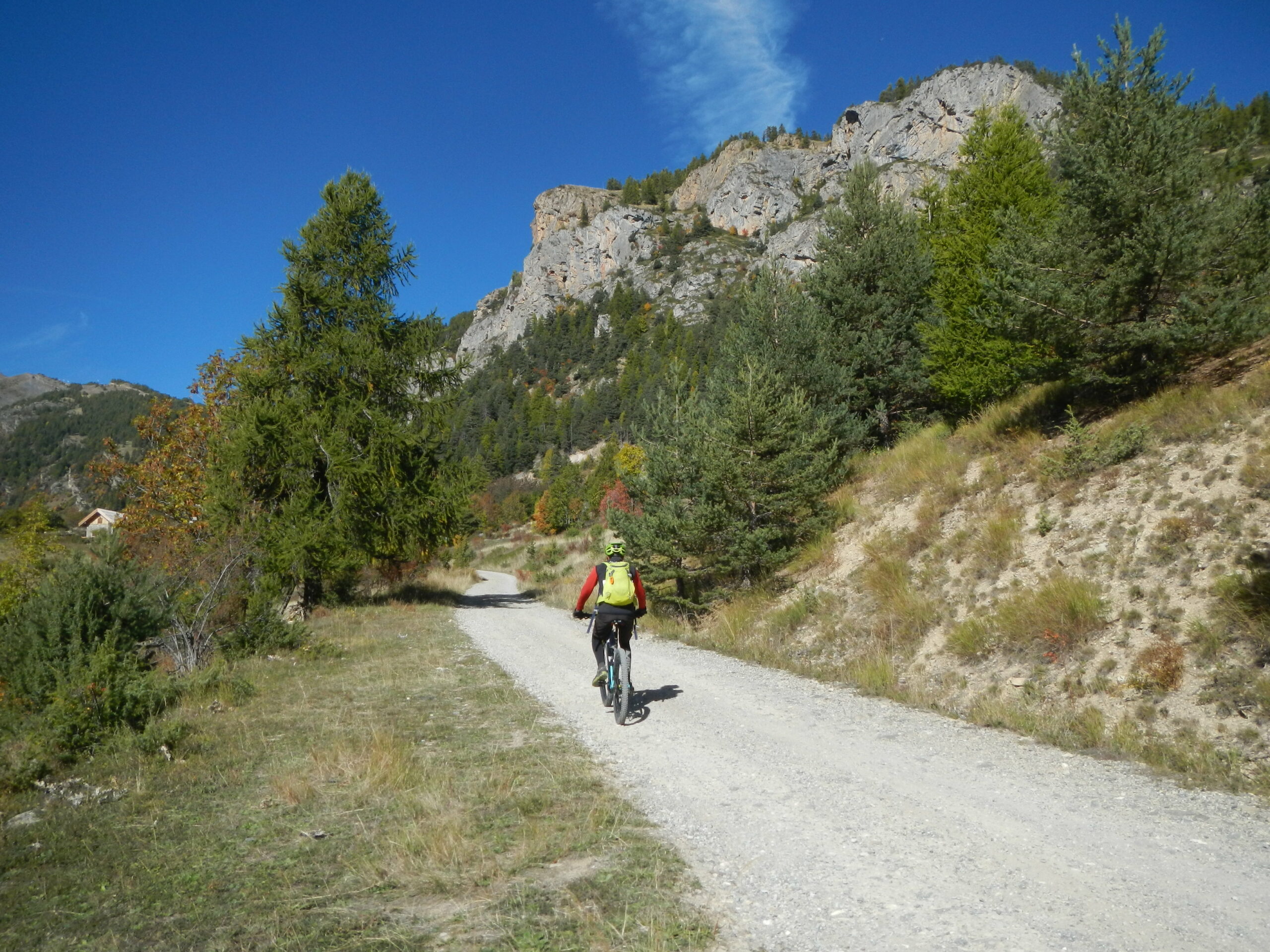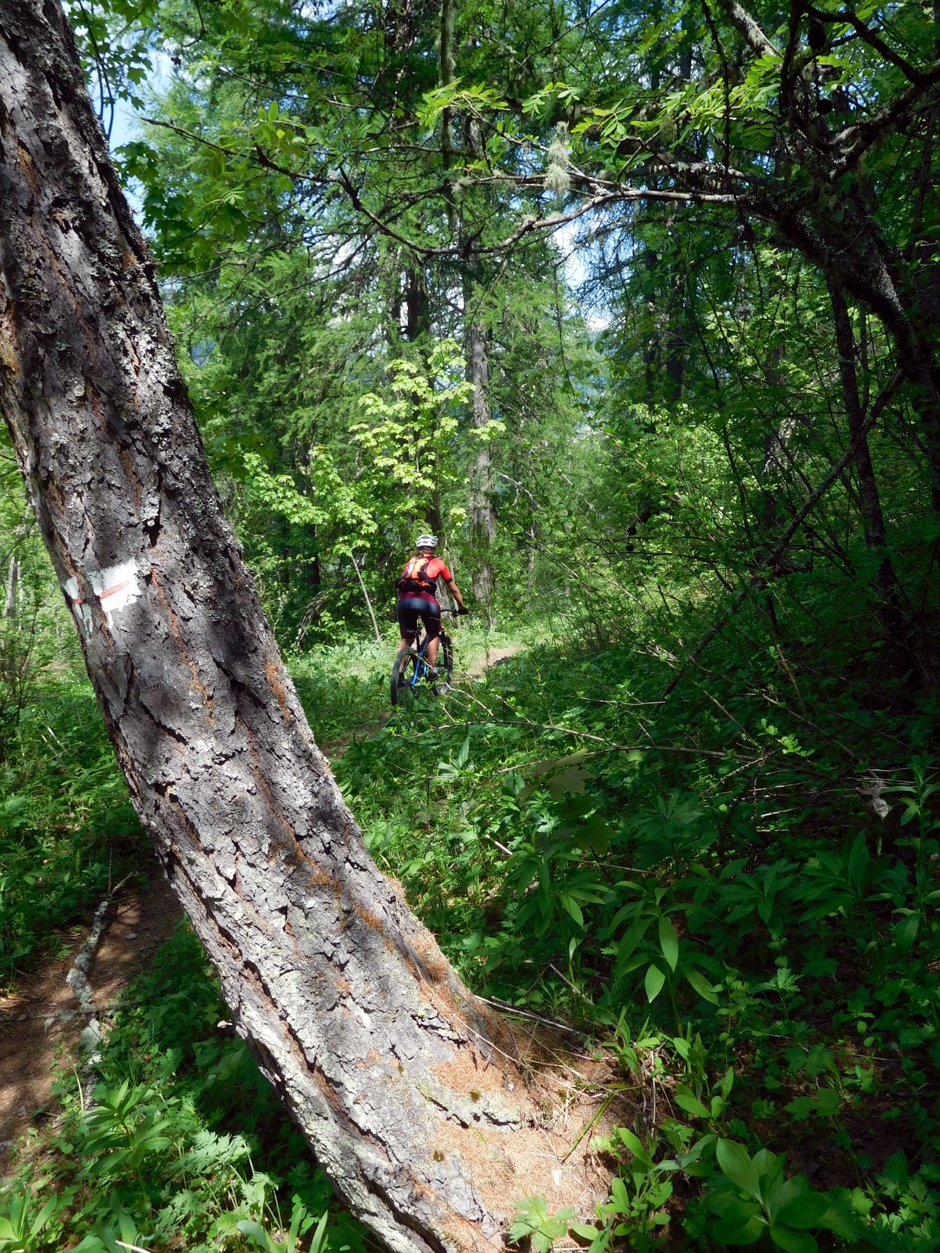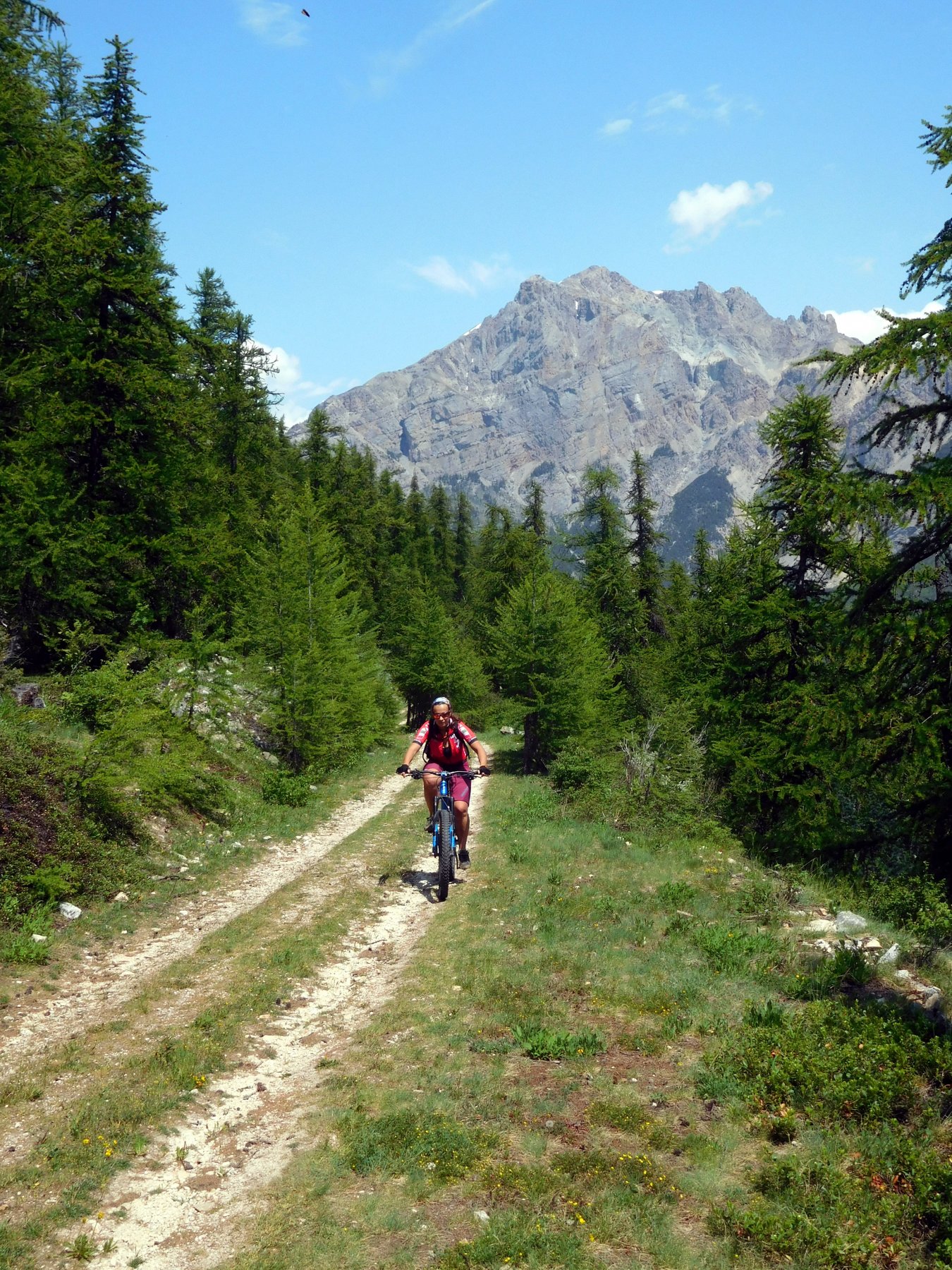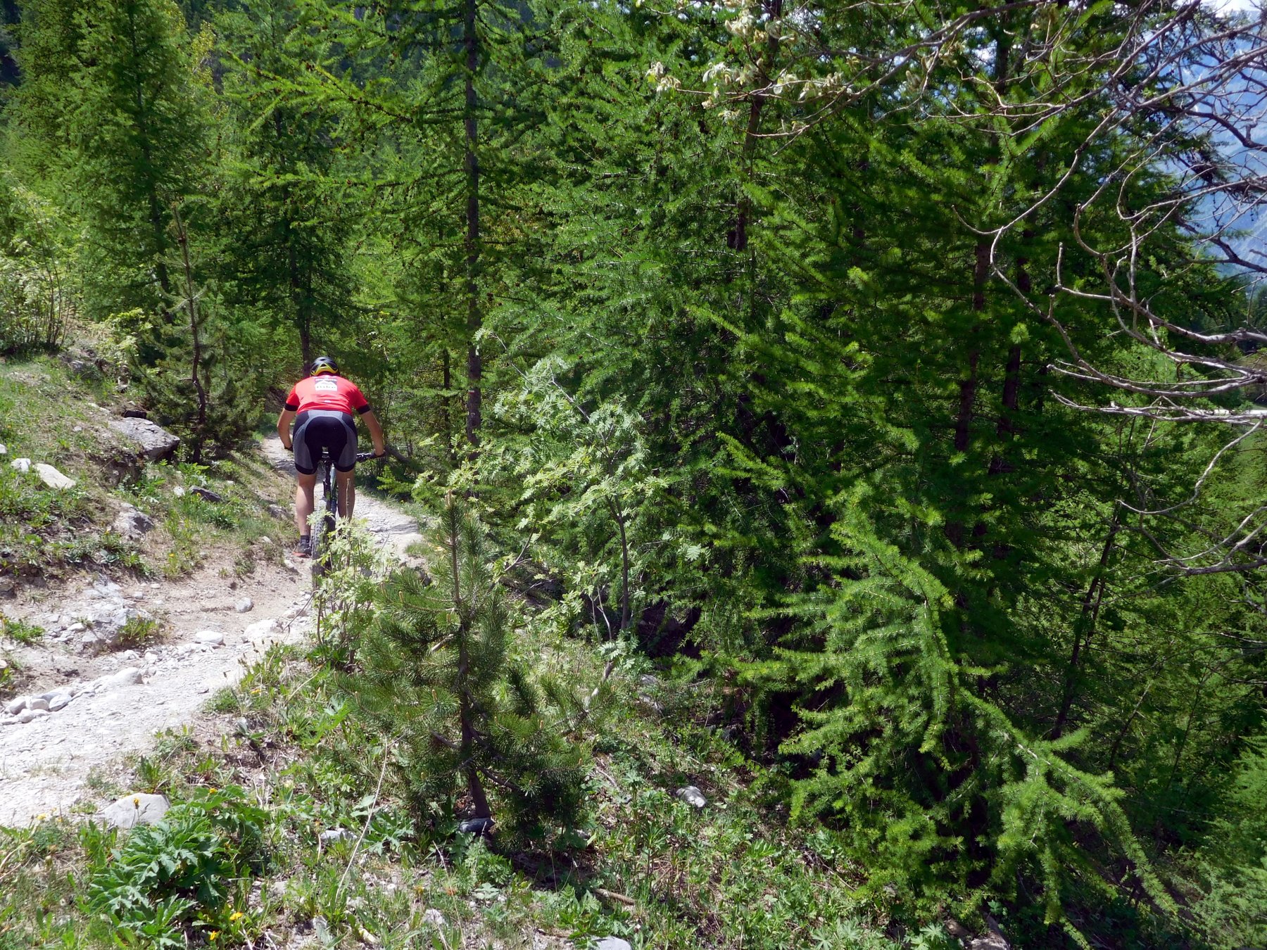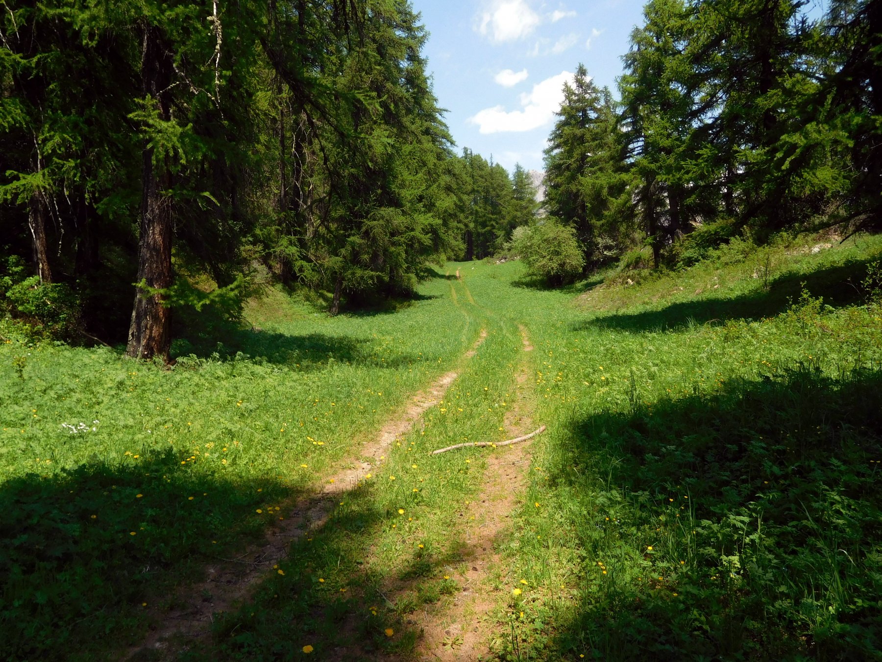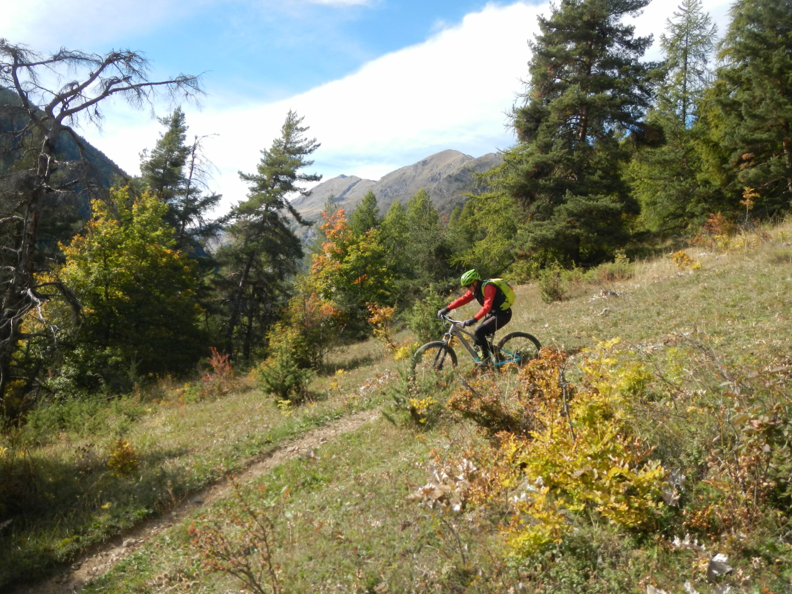
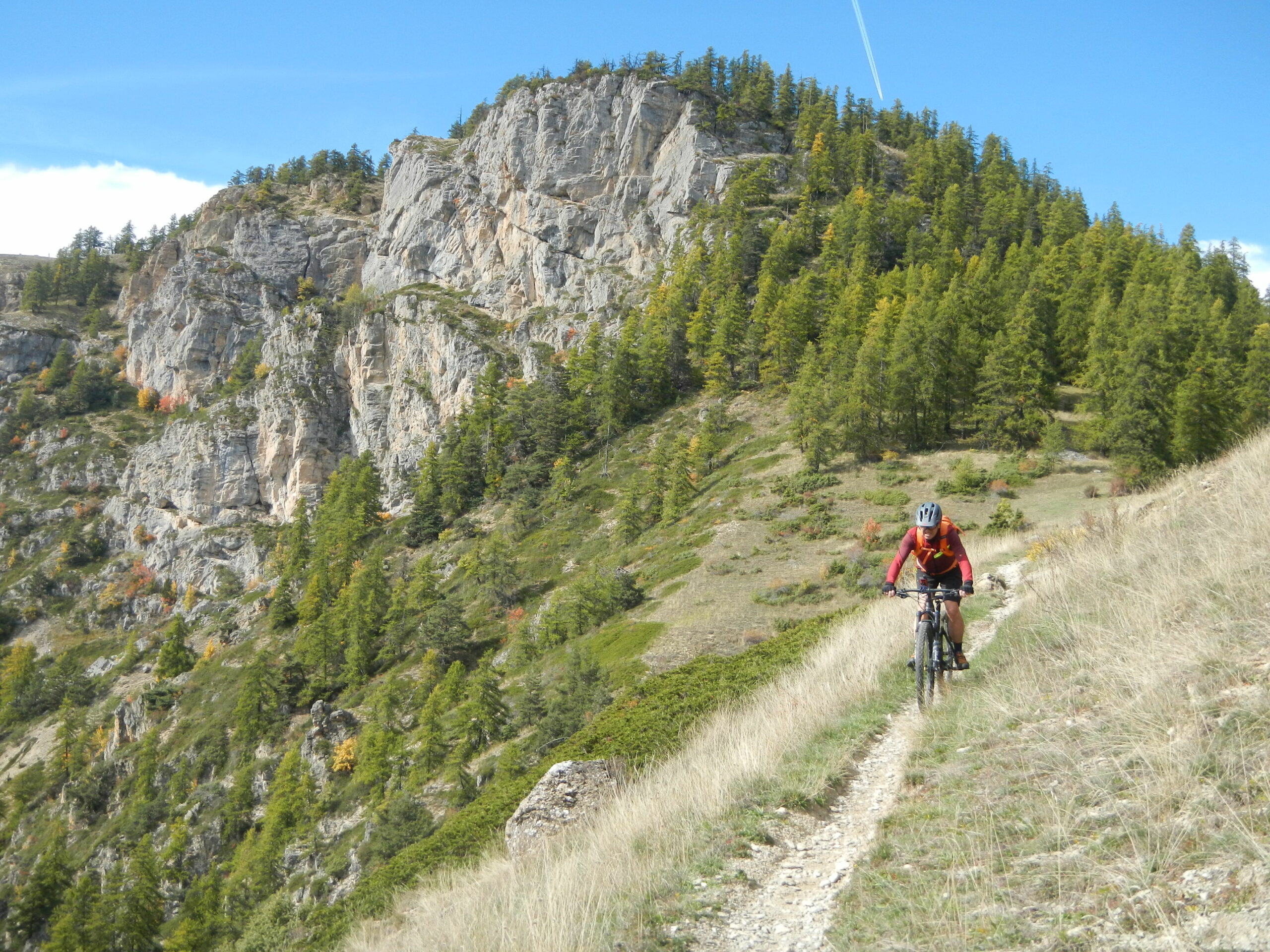
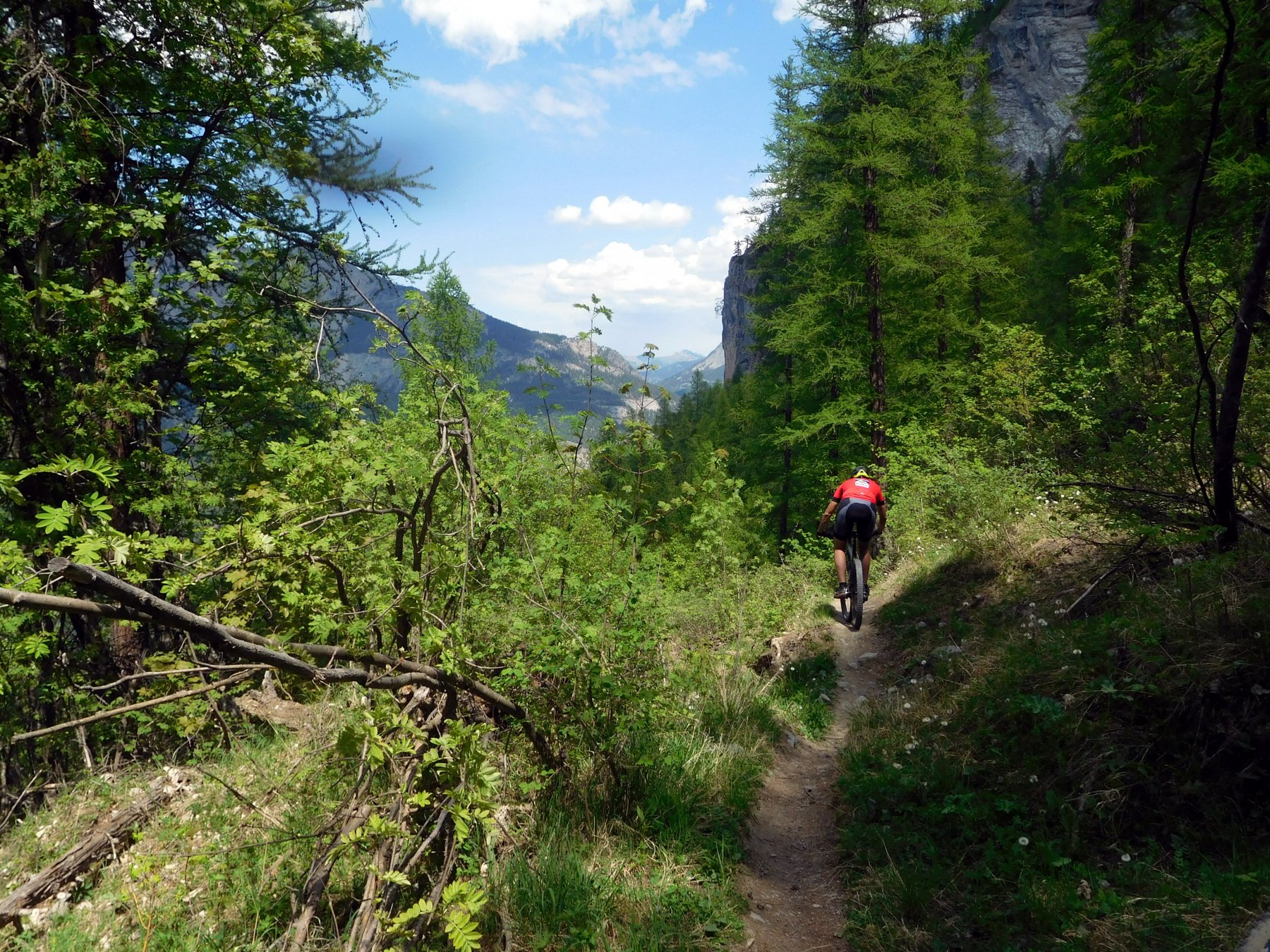
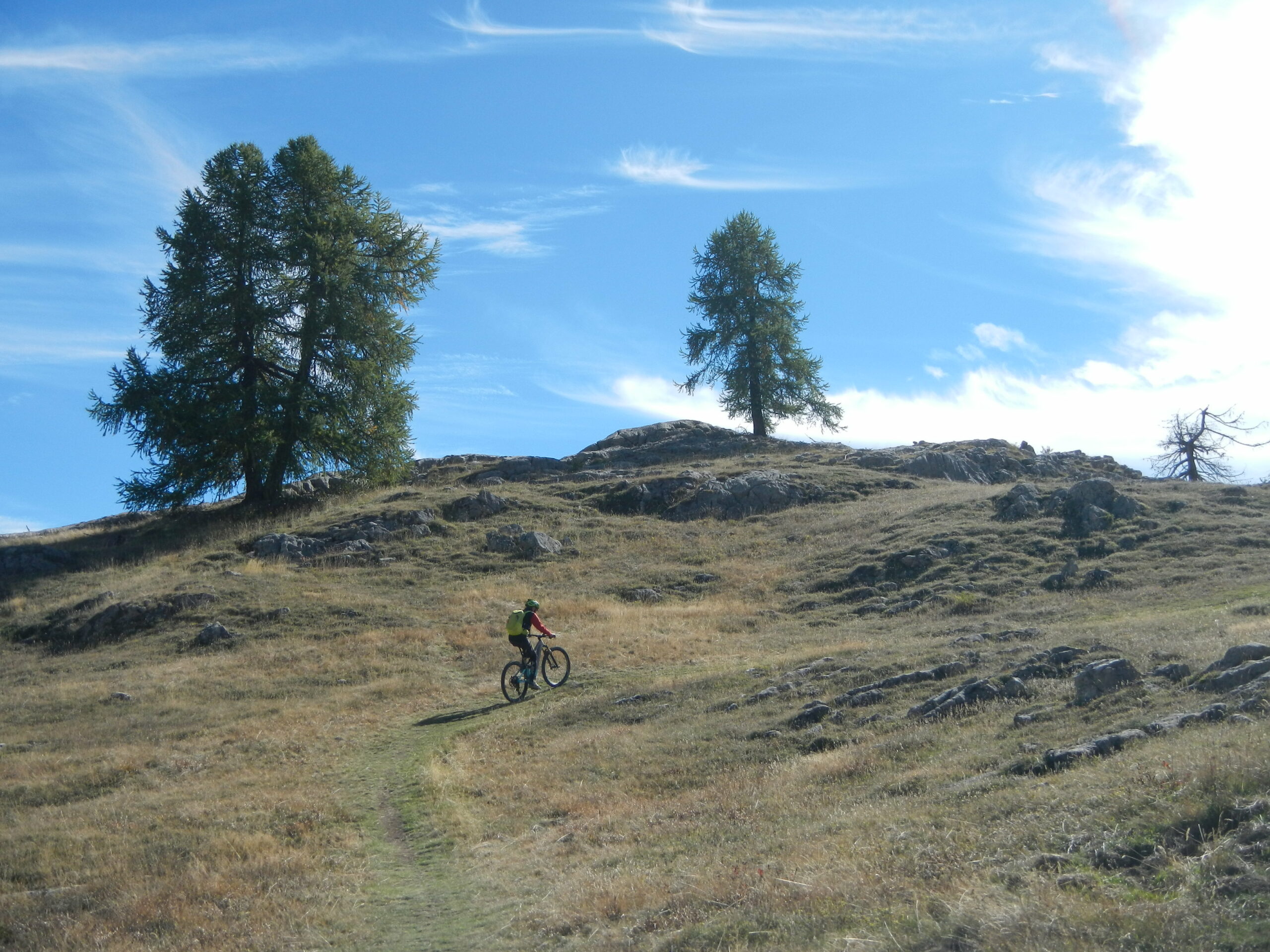
Adatto anche nel periodo estivo, nonostante la quota relativamente bassa, perché la salita si svolge in gran parte in un fresco bosco.
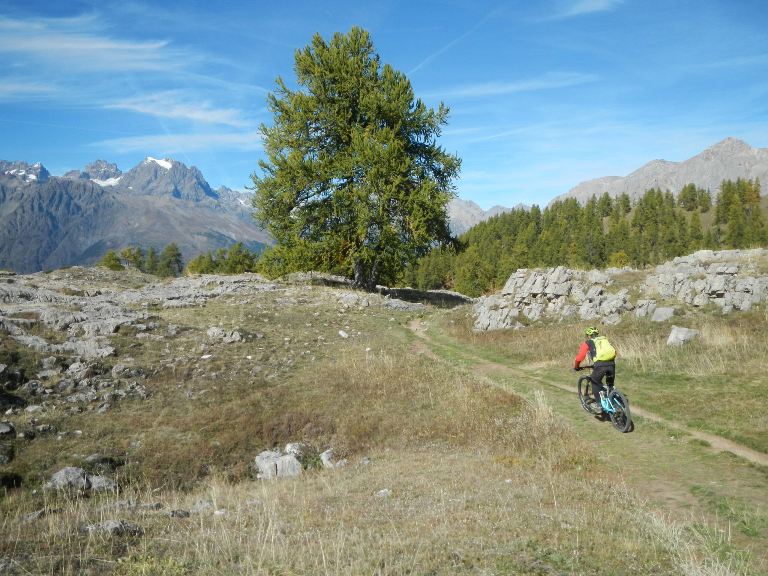
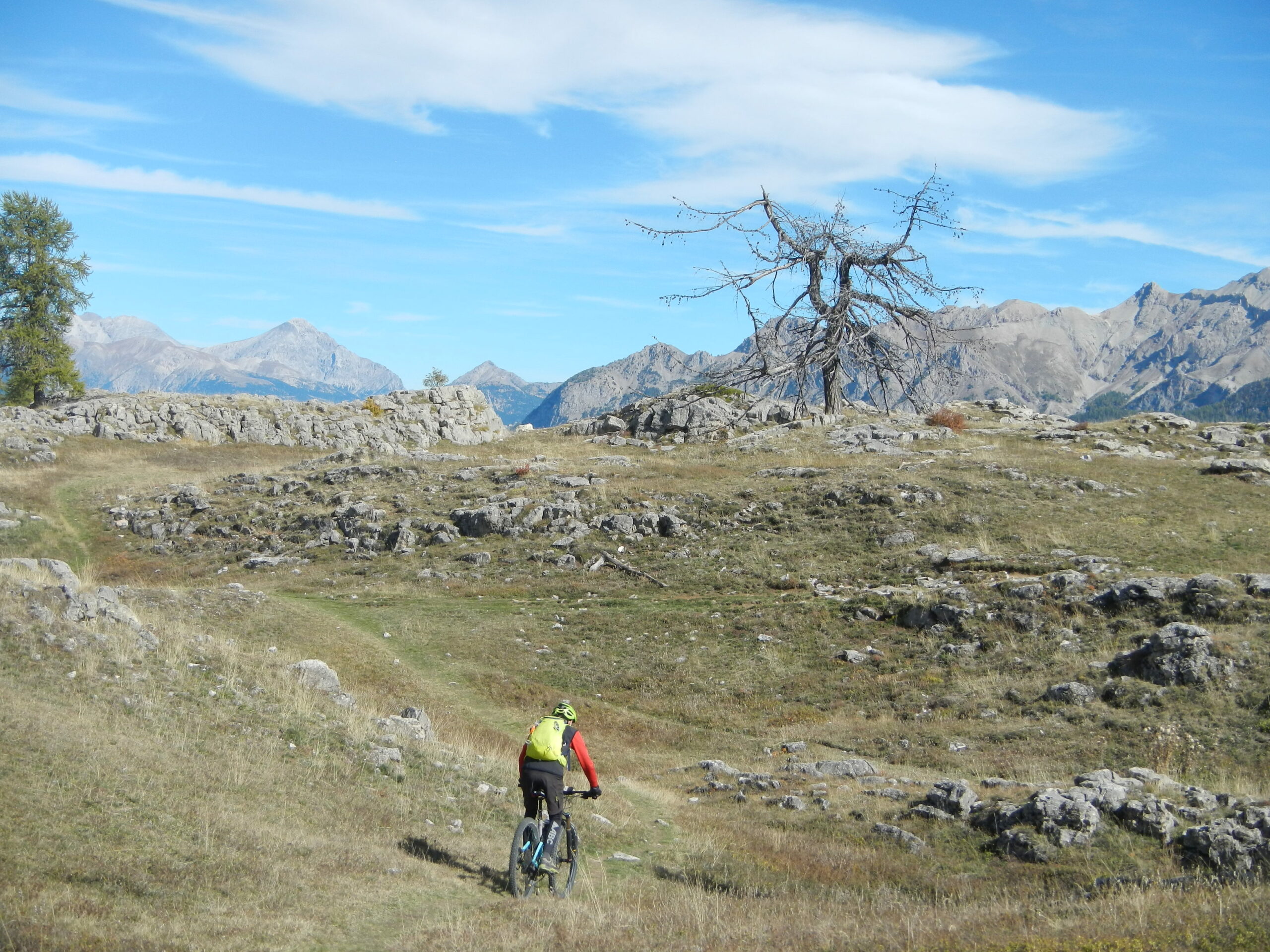
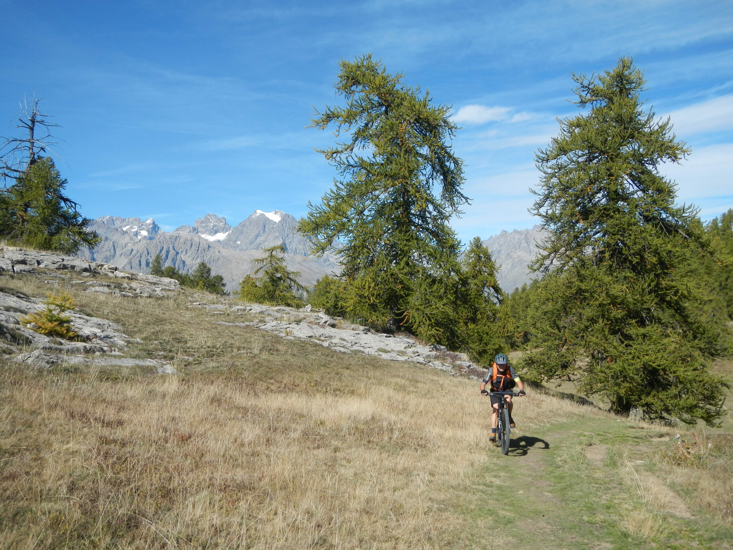
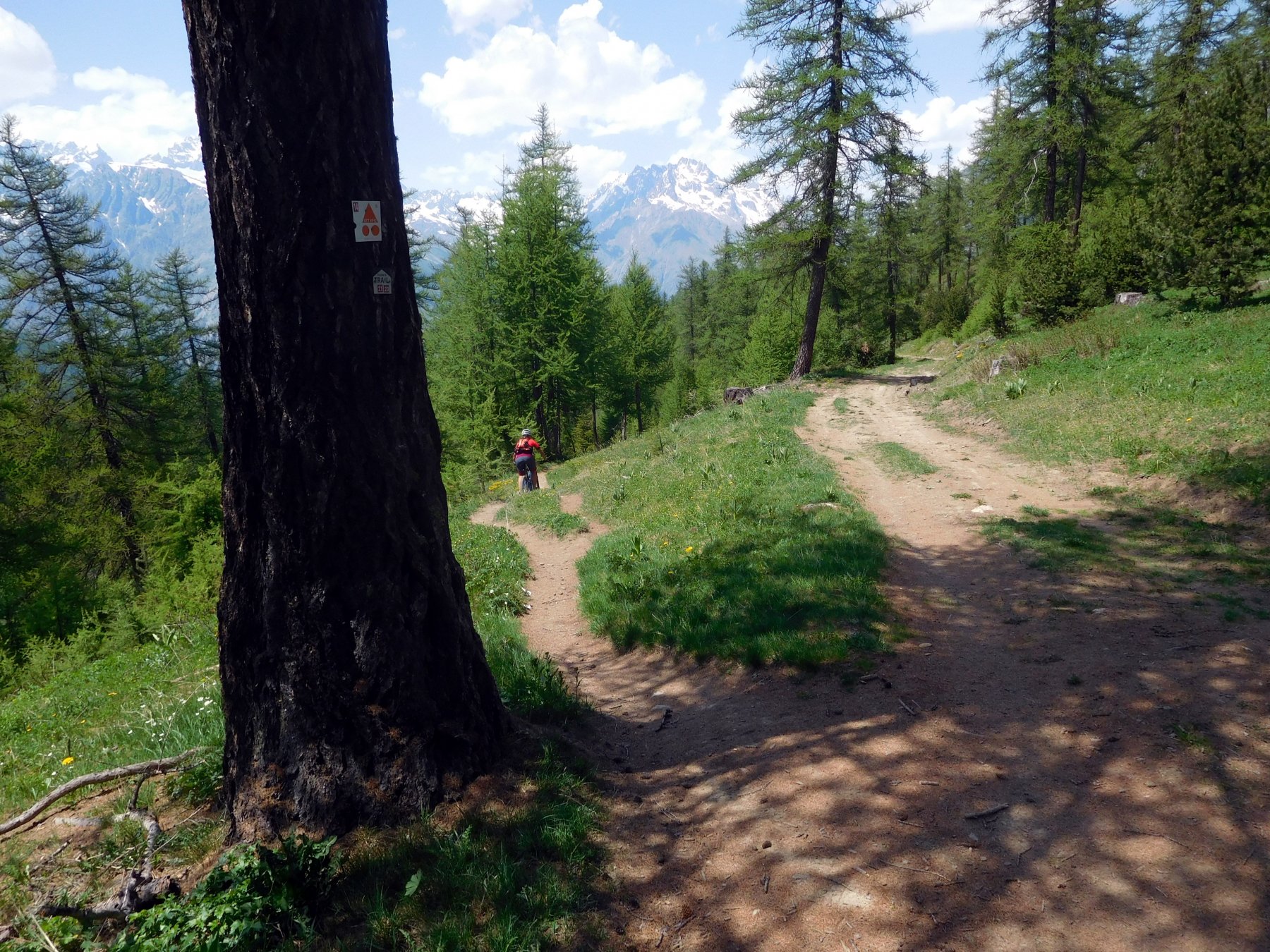
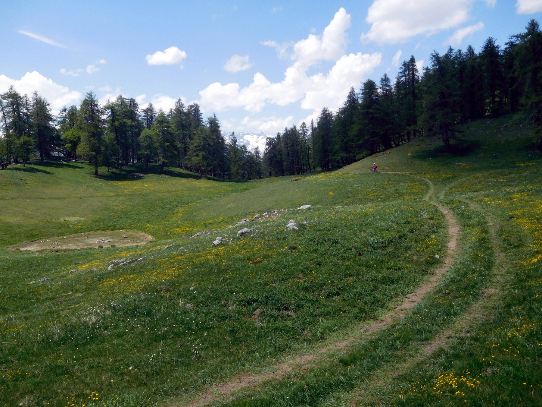
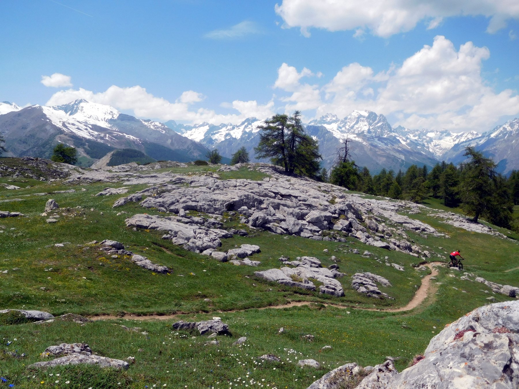
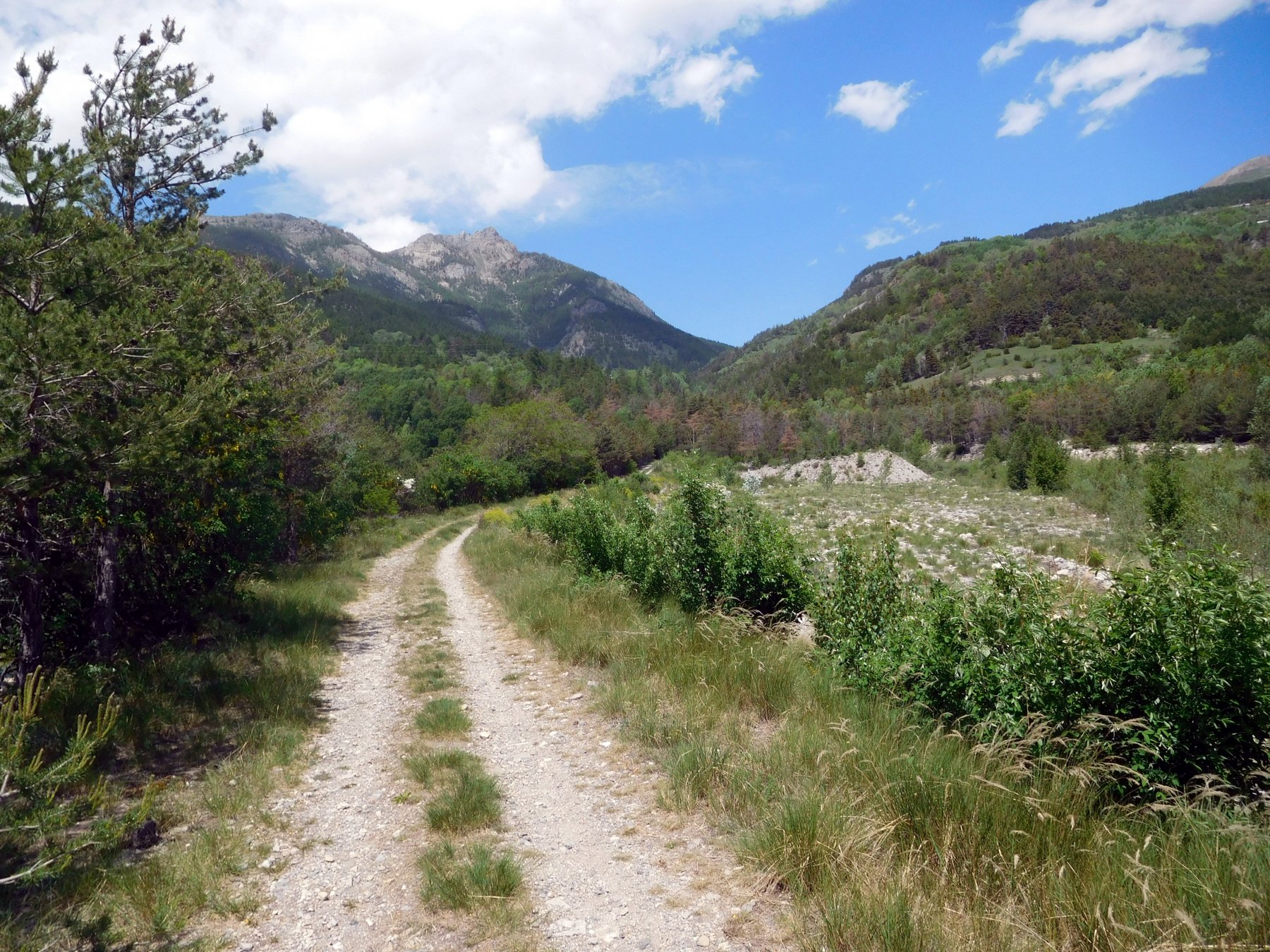
Da l’Argentiere la Besse si prosegue verso Vallouise o percorrendo la strada asfaltata principale della valle, che in dolce salita e poi in falsopiano conduce a les Vigneaux, oppure seguendo una strada sterrata che inizia nella parte alta del paese al bivio per il Vallon du Fournel alle case les Collets. Questa pista forestale conduce anch’essa a les Vigneauz 1081 m. Da qui si prosegue su asfalto per Puy Saint Vincent, raggiungendolo direttamente sempre su asfalto, oppure bypassandolo prendendo il primo sterrato che si incontra sulla sinistra, che porta a Eyssarvia 1272 m e poi successivamente oltre Prey d’Aval, da dove si incontra l’asfalto proveniente da Puy Saint Vincent. Chi invece fosse passato da Puy, deve seguire le indicazioni per il Col de la Pusterle. Si percorre l’asfalto finchè questo termina lasciando posto ad una bella e dolce sterrata che dopo alcuni tornanti porta al Col de la Pusterle 1763 m. 200 m prima del colle, a sinistra, si incontra la deviazione per les Testes, una bella pista forestale nel fitto e fresco Gran Bois. La si segue finchè si giunge ad un bivio, tralasciare la sterrata principale che prosegue dritto, per iniziare a salire un po’ più faticosamente a destra, pista forestale più inerbita ma sempre ben pedalabile. A 1860 m un nuovo bivio, entrambe le piste porteranno alla destinazione ma con due giri differenti. Il consiglio è di continuare a destra (les Tetes per per Lac des Lauzes) che con un ampio semicerchio aggira le pendici del Chateau Lebrun passando sopra al misero Lac des Lauzes (una specie di palude) e infine giungendo ad una sella erbosa con un minuscolo laghetto spesso secco a 1995 m. Qui termina la sterrata o meglio inizia quella che verrà percorsa in discesa. Per raggiungere la vicina sommità di les Testes, occorre seguire il bel single track, in parte in sella in parte a piedi che in breve porta sul ripiano roccioso dell’elevazione massima di questo altopiano di rocce ed erba, notevole punto panoramico.
Per la discesa in sella si ritorna al colletto erboso e quindi si prosegue sulla sterrata in direzione nord, che più ripida e gibbosa rispetto a quella percorsa in salita, riporterà al bivio già incontrato e quindi al Col de la Pusterle.
Ora se si vuol compiere l’anello proposto, si prosegue in discesa nel Vallon du Fournel, passando nei pressi del Refuge de la Pusterle 1730 m, e quindi per una polverosa e ghiaiosa sterrata si scende fino ad incontrare la strada anch’essa sterrata del Vallon du Fournel. Qui chi ne avesse ancora voglia, può risalire il vallone fino al termine in località Haute Salce 1541 me Basse Salce, per ammirare questo vallone pressochè deserto e molto selvaggio.
In discesa si segue la strada del vallone attraversando più volte il torrente, e poi incontrando l’asfalto verso il parcheggio delle miniere d’argento. Da qui rapidamente, dopo aver ammirato il profondo canyon del torrente, si fa ritorno a l’Argentiere la Besse.
Per la discesa sono possibili almeno altri due possibilità che permettono di percorrere due bei single-track il primo più facile ed il secondo decisamente più impegnativo e destinato a biker esperi:
1)VIA NOVO difficoltà BC- Dal colletto erboso nei pressi del quasi sempre asciutto lac des Poutilles si continua in discesa su sterrata a nord (con possibilità quasi subito di tagliarne un bel tratto attraverso un facile sentiero segnalato per bike in arancio), fin nei pressi del col de la Pusterle. Da qui si continua verso nord (a dx) facendo poi attenzione ad imboccare il ben segnalato single track dove passa anche il GR 50 (tacche rosse e bianche). La traccia taglia quattro volte la sterrata e, appena non se ne vede la prosecuzione sul lato opposto, occorre risalire a ritroso qualche metro fino al primo tornante dove sulla sx inizia un lunghissimo single track (via Novo) prevalentemente filante ma con qualche breve passaggio più tecnico. Il sentiero taglia una prima volta una sterrata quindi ne raggiunge la medesima molto più in basso. Da qui si prosegue sulla strada verso dx. Poco oltre di nuovo a sx nuova sezione in single track nel bellissimo bosco fino ad un bivio. Da qui due possibilità in base a dove si era partiti: verso sx per Les Vigneaux bel sentiero che scende a una sterrata e da qui in breve verso sx al ponte quota 1081 m sotto il villaggio; verso dx per L’Argentière-La-Bessée con bel percorso sempre filante fino a raggiunge il fondovalle dove un sterrata va seguita verso dx per breve tratto, quindi ancora a dx su sentiero che (a tratti in salita a tratti in discesa ma sempre pedalabile) deposita a Les Collets nella parte alta del paese.
2)VIA BOIS DE LA PIGNEE difficoltà OC Dal colletto erboso di prima ritornare un po sui propri passi verso est facendo attenzione ad individuare la traccia che tra i prati scende alle rovine di Les Tetes. Subito dopo il sentiero si tuffa nel bosco disegnando una moltitudine di tornanti alcuni dei quali richiedono per essere affrontati in bici una ottima tecnica. Ormai verso il fondo della discesa si incontra un bivio. Qui si consiglia di prendere a dx toccando in breve la strada del vallon du Fournel. Da qui si risale brevemente al ponte quota 1301 dove – appena oltrepassato il torrente – sulla sx stacca uno splendido tracciato in single track (denominato Bois de Champ Pelbaud) che deposita a quota 998 nei pressi di Argentère la Bessée.
N.B. Per la salita esiste un altro percorso che costituisce una valida variante a quella qui descritta. Dopo aver superato Eyssarvia si perviene ad un bivio. L’itinerario principale segue la sterrata che sale a dx ma si può anche imboccare il ramo sx che con lungo percorso mai ripido si inoltra nel bosco denominato Champ des Ans e si congiunge al principale appena sotto il Lac des Sagnes.
Nelle vicinanze Mappa
Itinerari
Salce (la) da Argentière la Bessée per il Vallon du Fournel e Boujurian
 50m
50m
Vallouise (Col de) da les Vigneaux, giro delle Tenailles de Montbrison
 4Km
4Km
Serre Piarâtre da Freissinieres
 5.5Km
5.5Km
Anon (Col d’) da La Roche de Rame per il Lac Lauzes
 5.5Km
5.5Km
Peyron (Collet du) e Lac de l’Ascension da La Roche de Rame, giro
 5.5Km
5.5Km
Freissinieres (Vallone di) da la Roche de Rame
 5.5Km
5.5Km
Cougnet (Alpe le) e Plan de la Loubiere da la Roche de Rame
 5.5Km
5.5Km
Raisins (Tete des) da Freissinieres
Sachas e Ratière da Prelles, discesa del Torrent de Sachas
 7Km
7Km
Bouchier, Ratière da Prelles, giro
 7Km
7Km