Note
 50m
4Km
5.5Km
5.5Km
5.5Km
5.5Km
5.5Km
7Km
7Km
50m
4Km
5.5Km
5.5Km
5.5Km
5.5Km
5.5Km
7Km
7Km
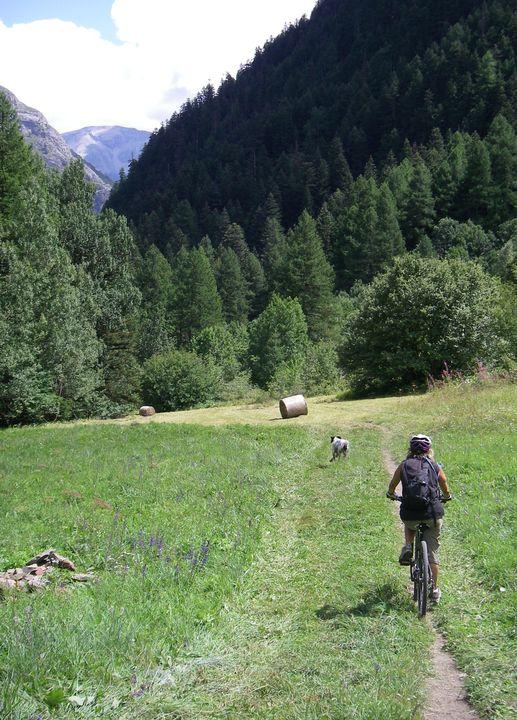
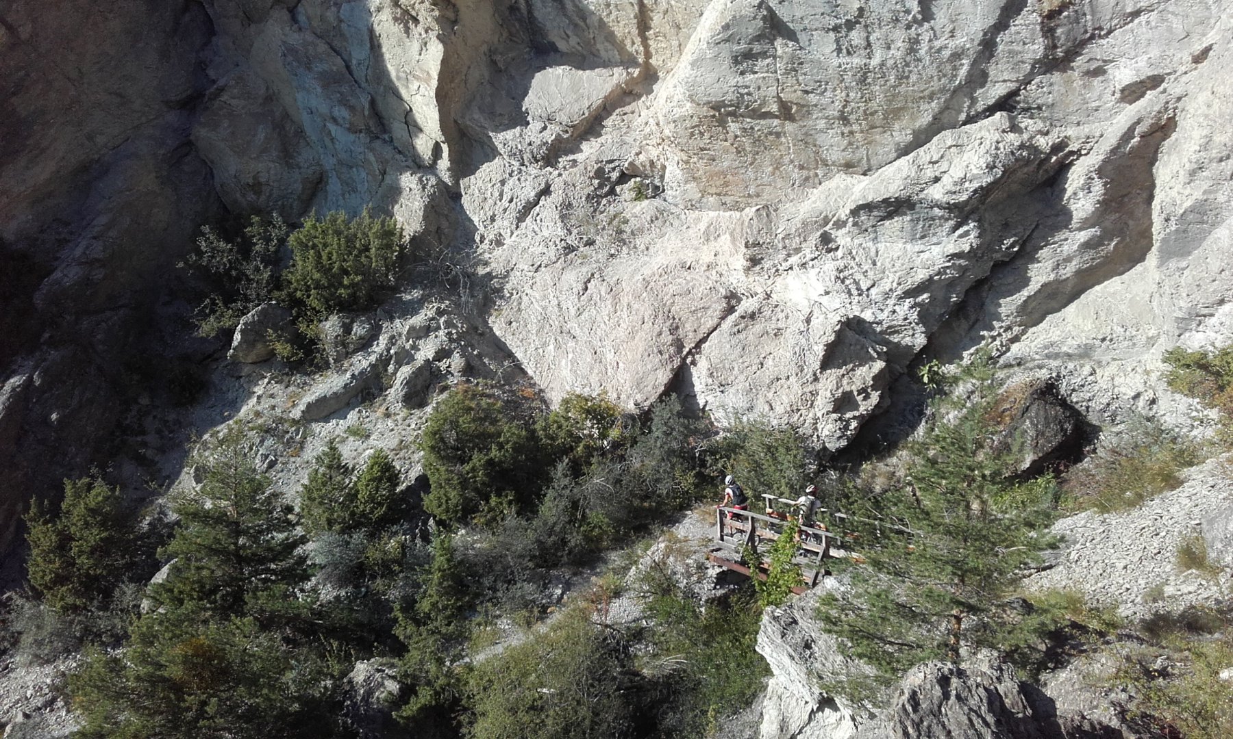
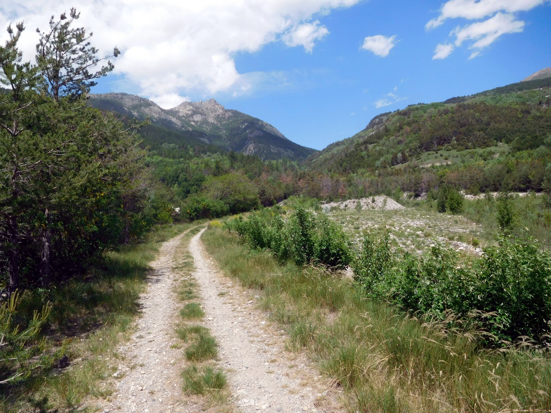
Super ciclabile tranne un tratto di sentiero assai stretto ma liscio!
Avvicinamento
Monginevro, Briancon, - direz GAP - Argentiere la Bessee, attraversare paese direz Sud, dopo sotto passo subito a destra direz Fournel.
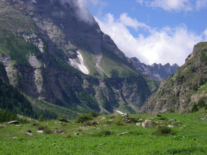
Descrizione
Fino a 1380 m rive droite su strada, poi ponte e (attenzione: 1/2 km prima di arrivare al bivio per il col de la Pusterle!) rive gauche e subito dopo ponte rive droite, sentiero stretto per Boujourian che diventa presto una larga e solitaria pista fra praterie alpine e alte pareti.
A Boujourian nuovo ponte passare rive gauche del rio Fournel e riprendere leggermente a valle la strada sterrata per La Salce, dove termina con parcheggio davanti alle alte pareti dove in inverno si salgono le cascate di ghiaccio!
- Cartografia:
- IGN 1:25000 ORCIERES MERLETTE
Nelle vicinanze Mappa
Itinerari
08/10/2025 Hautes-Alpes, L'Argentière-la-Bessée D+ 1200 m MC+, MC, S0 Tutte
Tetes (les) da l’Argentiere la Besse, giro per Col de la Pusterle e Vallon du Fournel
 50m
50m
25/09/2016 Hautes-Alpes, Les Vigneaux D+ 1852 m BC, BC+, S1 Varie
Vallouise (Col de) da les Vigneaux, giro delle Tenailles de Montbrison
 4Km
4Km
05/06/2019 Hautes-Alpes, Freissinières D+ 800 m MC+, BC, S1 Varie
Serre Piarâtre da Freissinieres
 5.5Km
5.5Km
04/08/2018 Hautes-Alpes, La Roche-de-Rame D+ 1244 m MC+, BC+, S2 Varie
Anon (Col d’) da La Roche de Rame per il Lac Lauzes
 5.5Km
5.5Km
24/08/2018 Hautes-Alpes, La Roche-de-Rame D+ 1677 m MC+, OC+, S2 Nord
Peyron (Collet du) e Lac de l’Ascension da La Roche de Rame, giro
 5.5Km
5.5Km
16/04/2022 Hautes-Alpes, La Roche-de-Rame D+ 500 m MC, MC+, S0 Nord-Est
Freissinieres (Vallone di) da la Roche de Rame
 5.5Km
5.5Km
21/08/2022 Hautes-Alpes, La Roche-de-Rame D+ 965 m MC, BC, S2 Nord
Cougnet (Alpe le) e Plan de la Loubiere da la Roche de Rame
 5.5Km
5.5Km
16/06/2024 Hautes-Alpes, Freissinières D+ 1600 m BC, BC+, S2 Sud-Ovest
Raisins (Tete des) da Freissinieres
6.2Km
07/06/2019 Hautes-Alpes, Saint-Martin-de-Queyrières D+ 800 m MC, BC, S2 Sud-Est
Sachas e Ratière da Prelles, discesa del Torrent de Sachas
 7Km
7Km
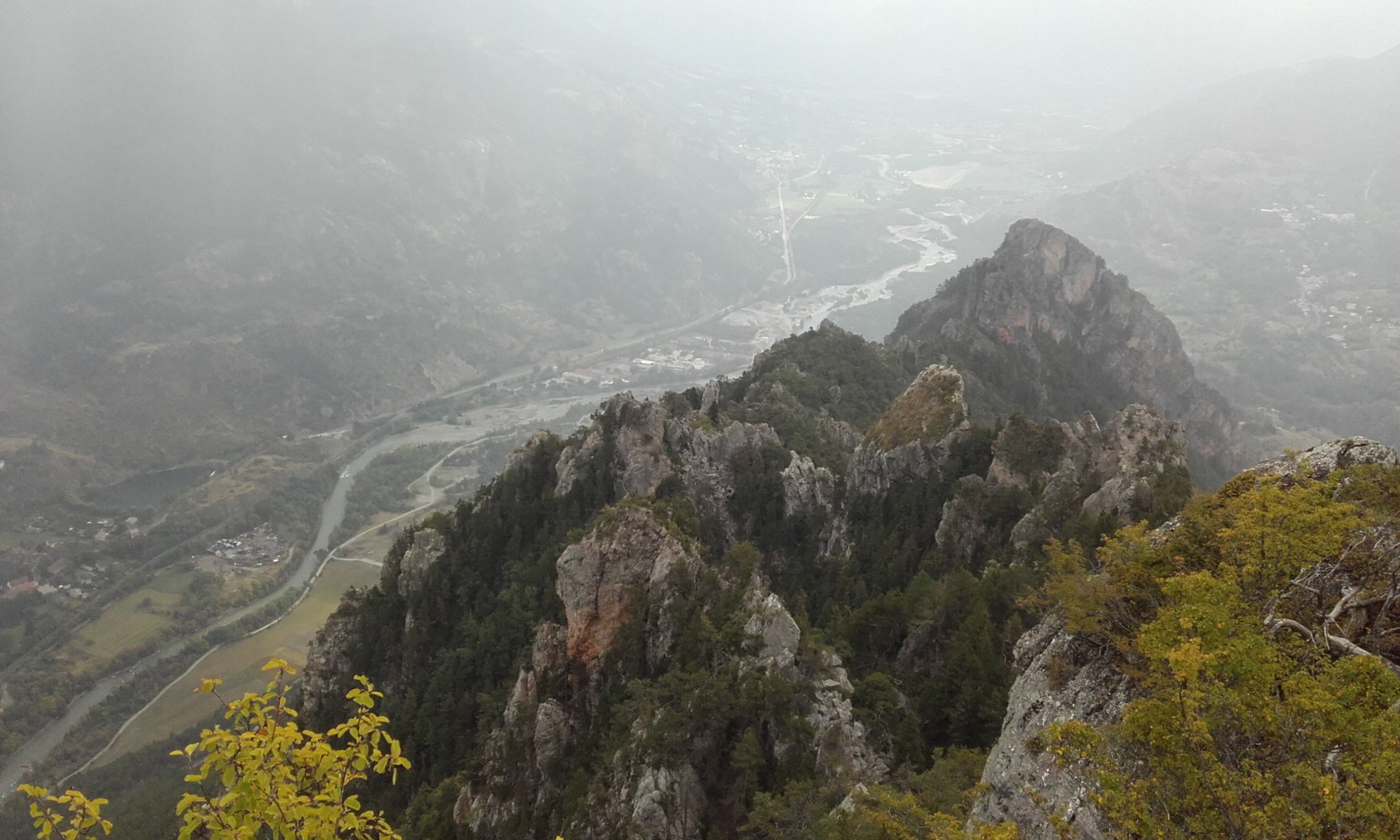
07/07/2013 Hautes-Alpes, Saint-Martin-de-Queyrières D+ 733 m MC+, MC+, S1 Est
Bouchier, Ratière da Prelles, giro
 7Km
7Km