3.9Km
3.9Km
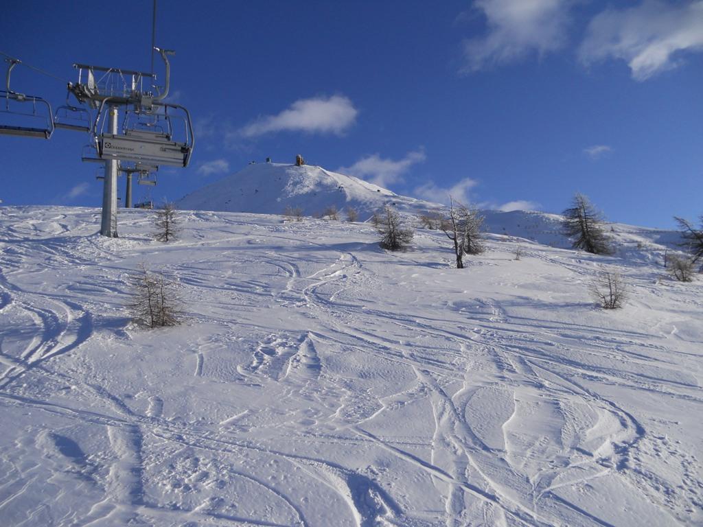
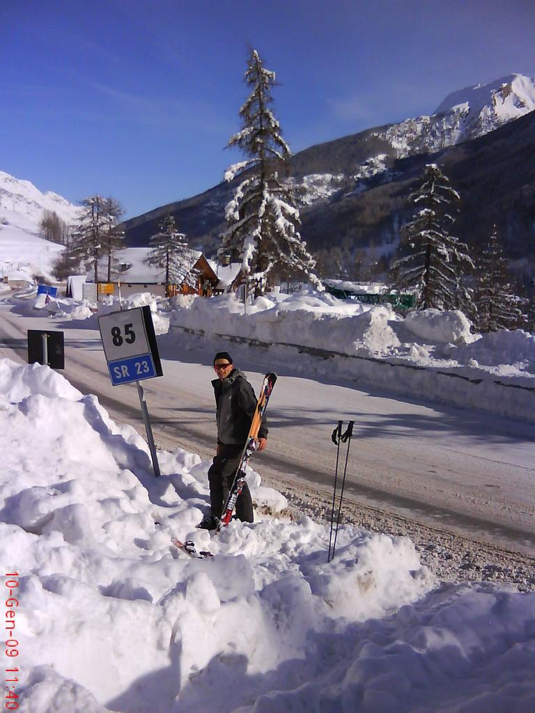
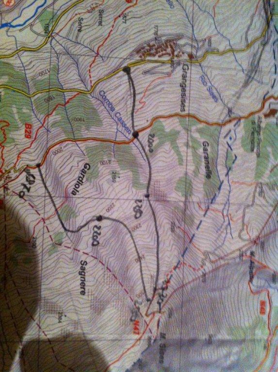
Avvicinamento
 2.1Km
2.3Km
2.3Km
3.9Km
3.9Km
4.6Km
2.1Km
2.3Km
2.3Km
3.9Km
3.9Km
4.6Km
3.9Km
3.9Km
4.3Km
4.3Km
6.6Km
7Km
7.3Km
7.4Km
7.4Km
7.4Km
.
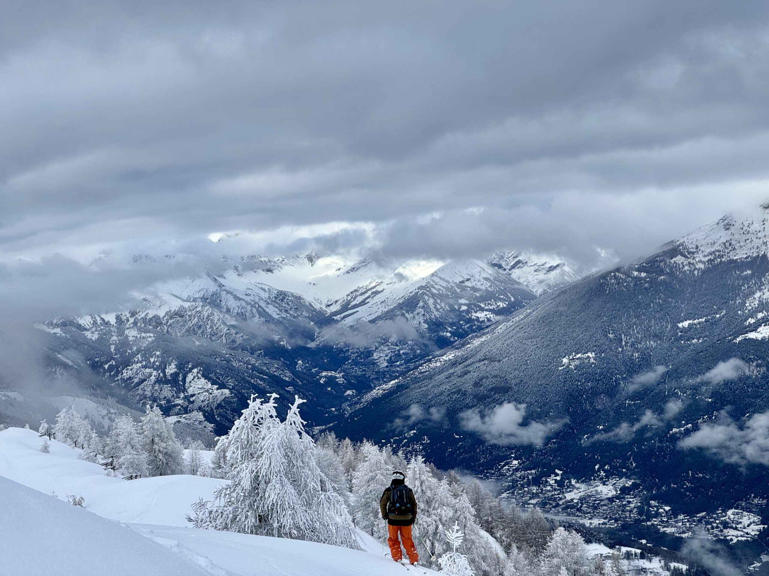
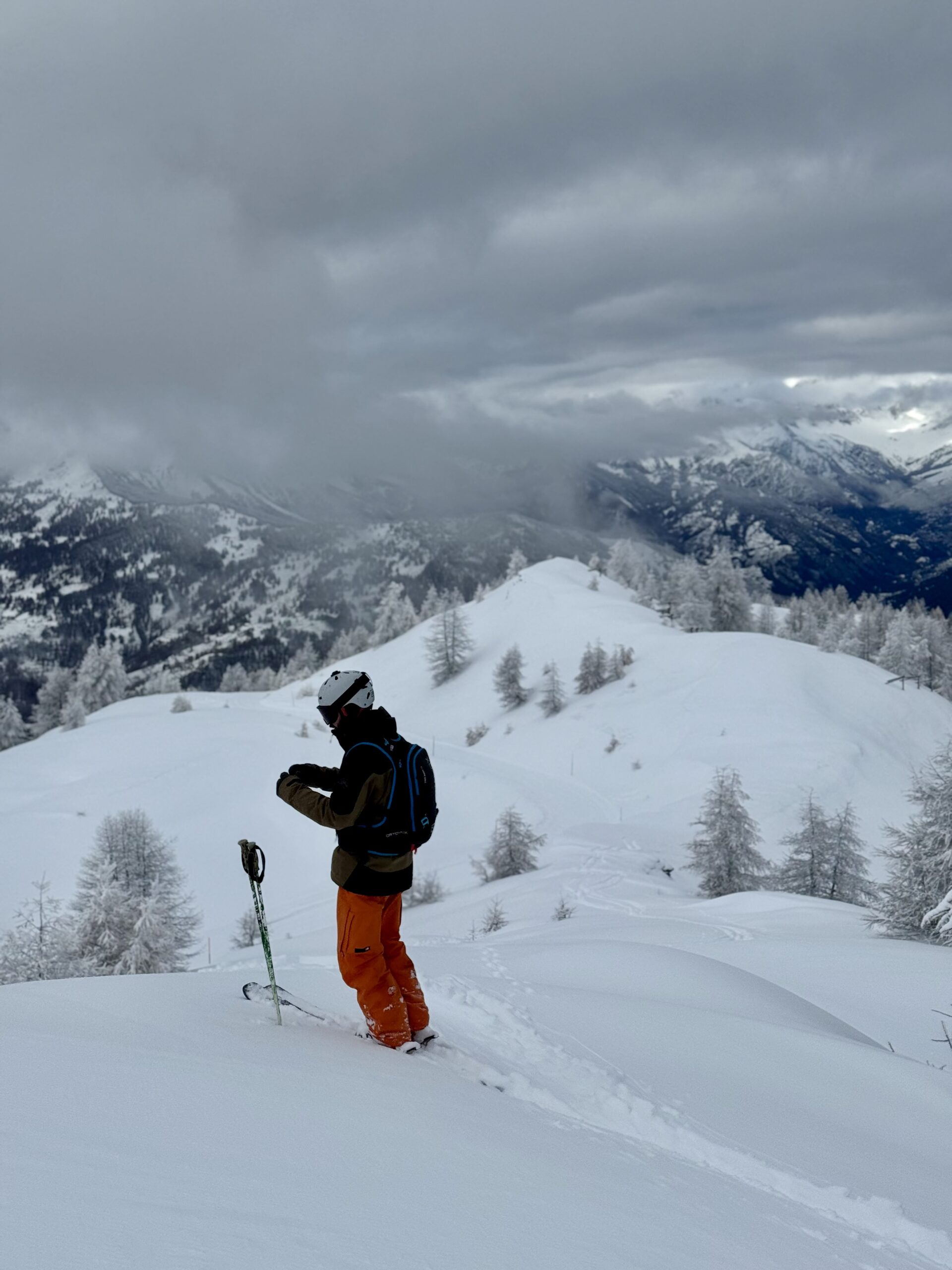
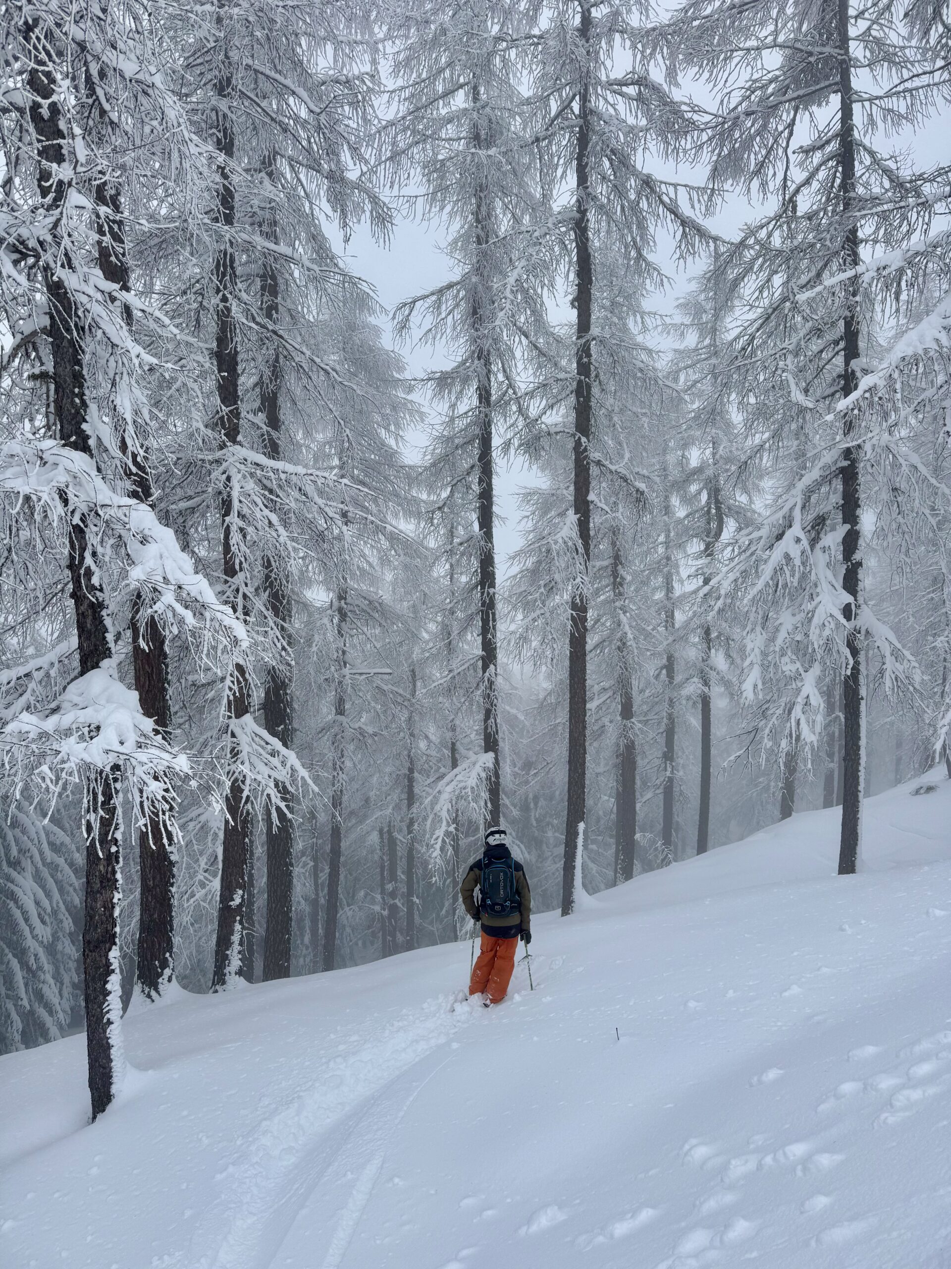
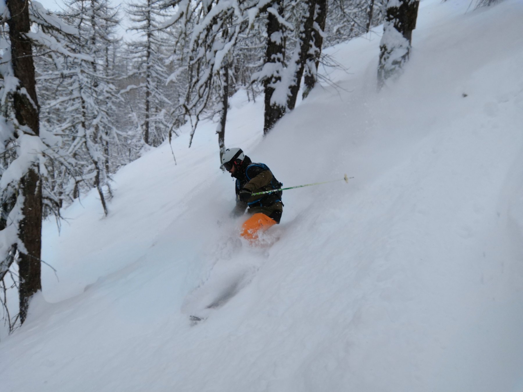
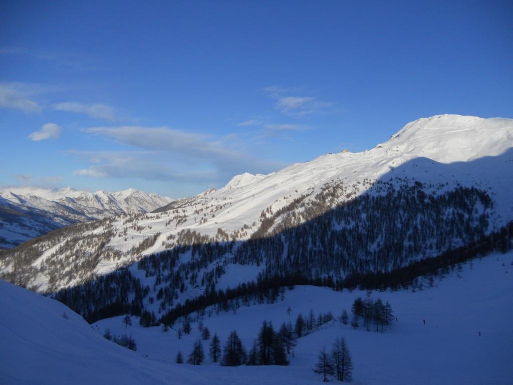
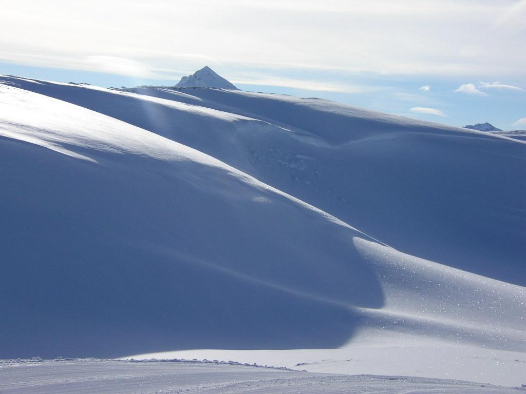
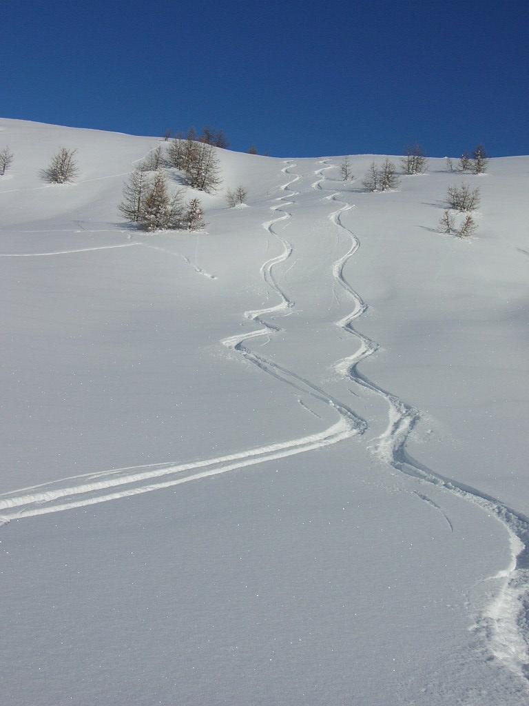
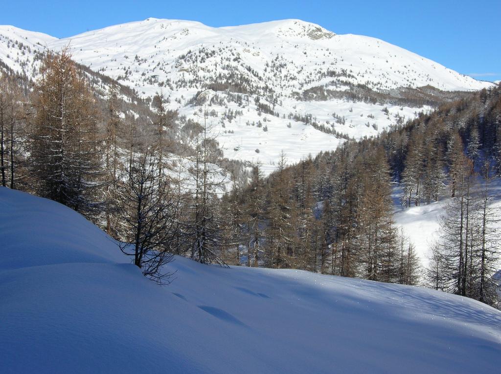
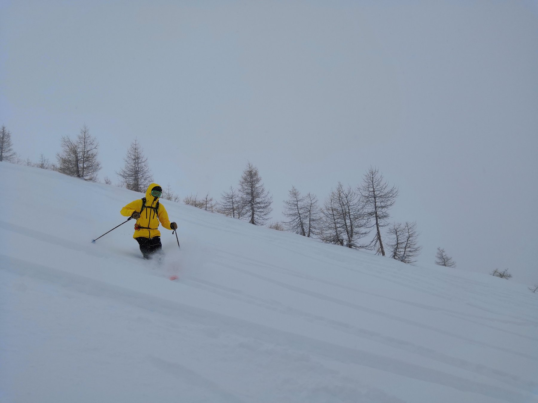
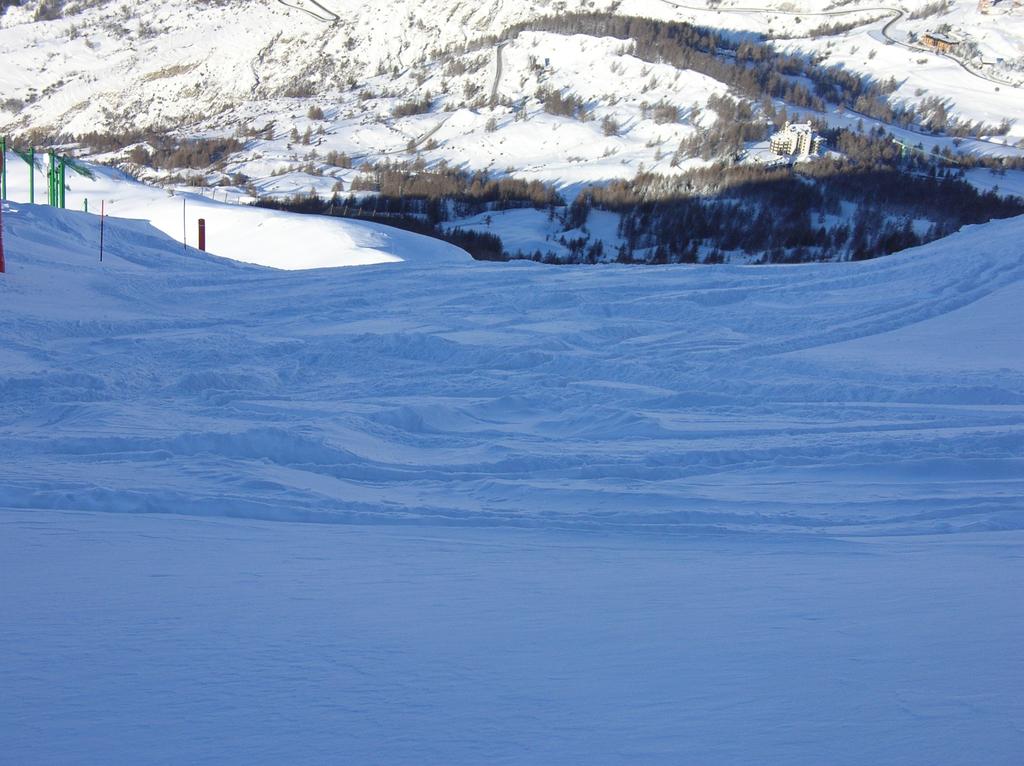
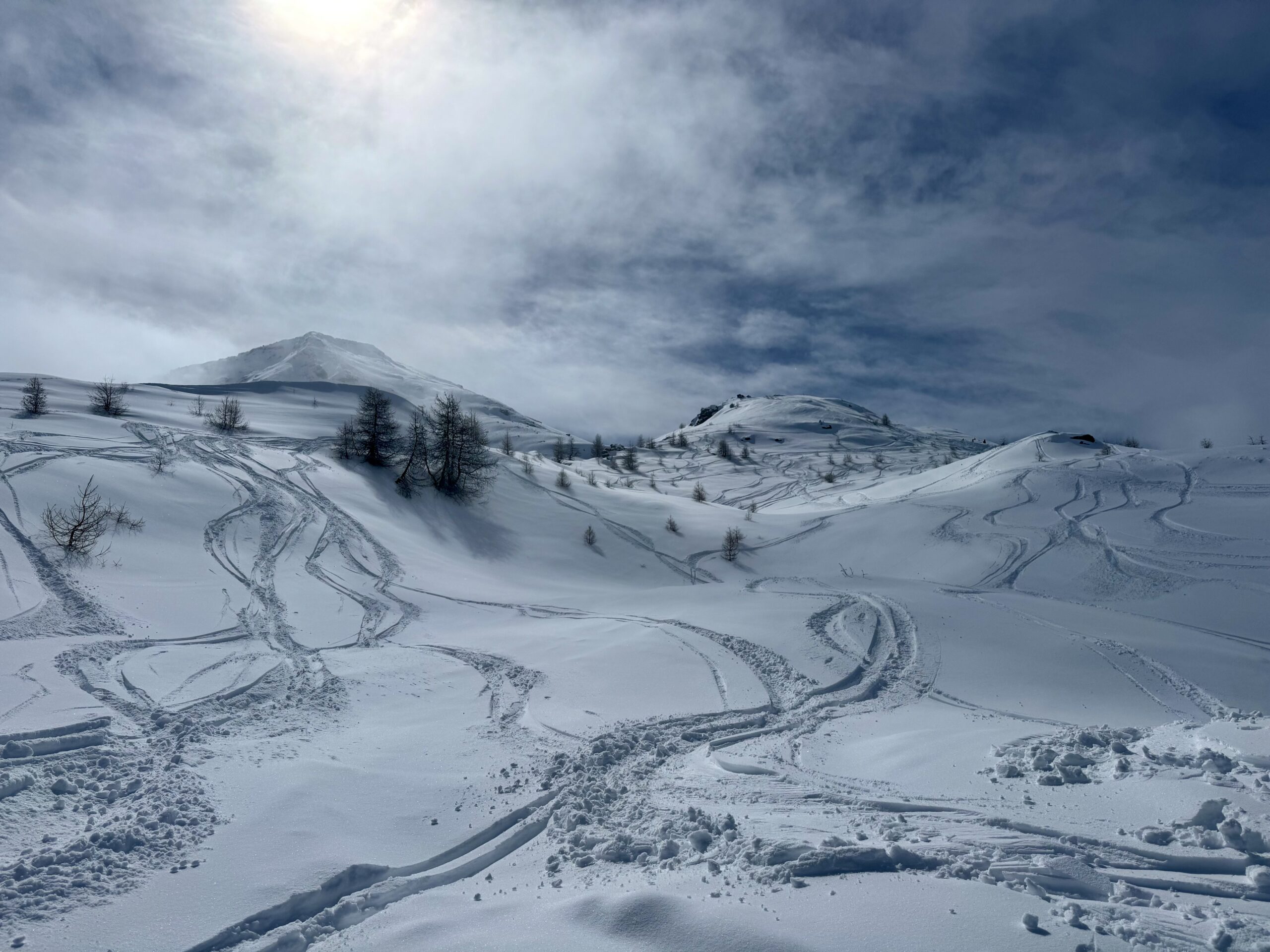
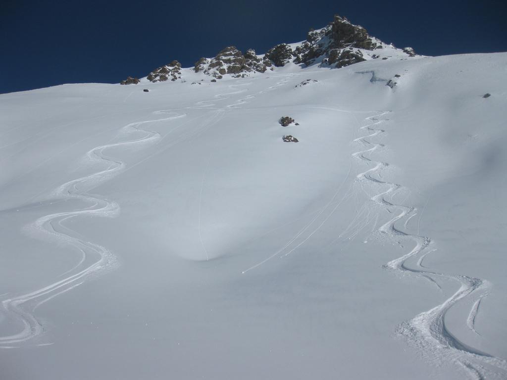
Descrizione
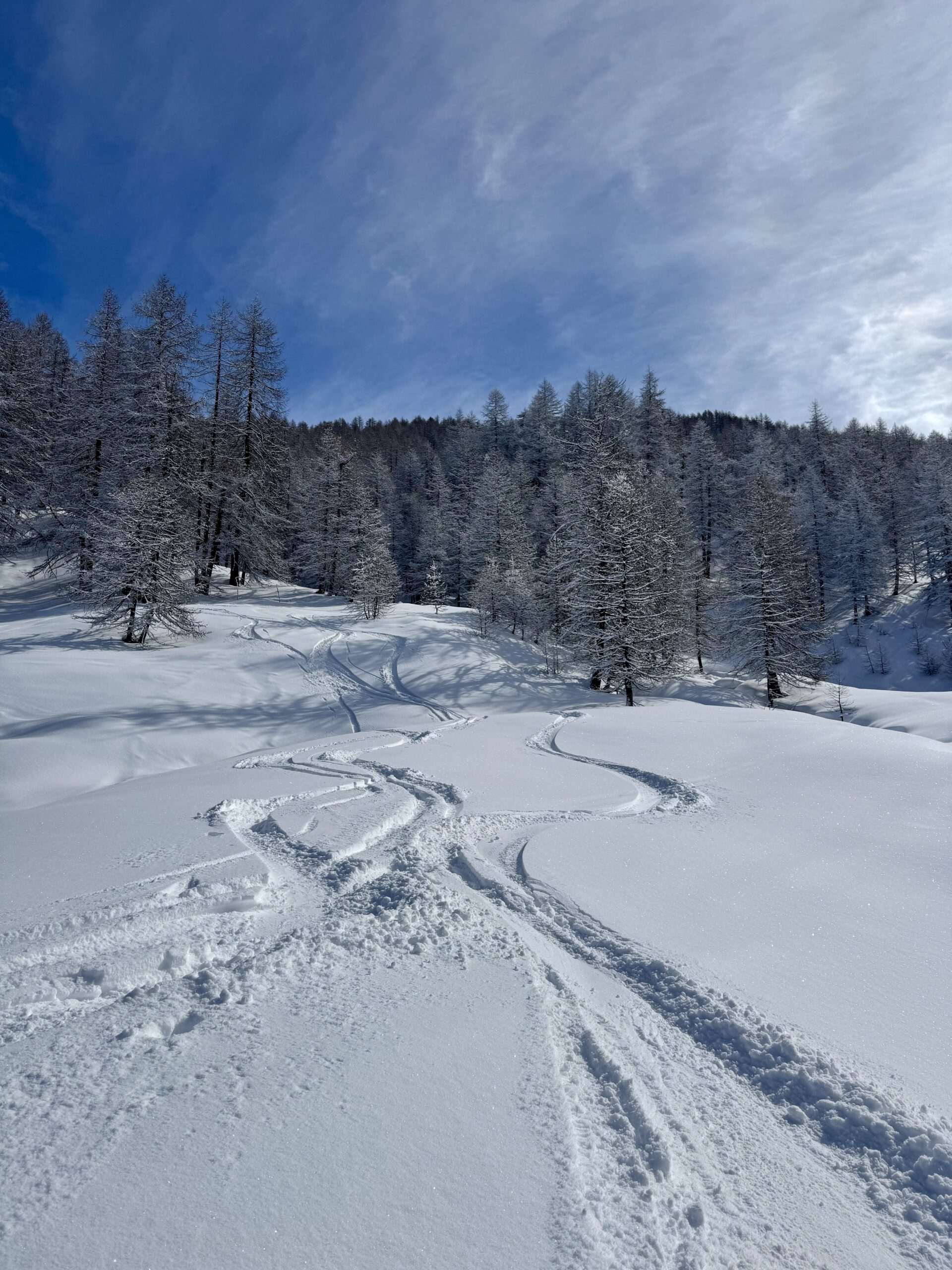
tutti i boshi e canalini
Nelle vicinanze Mappa
Itinerari
23/01/2015 TO, Sestriere 3.1, E1 Varie
Sestriere Pali della luce, Sotto Rognosa, Colombiere
 2.1Km
2.1Km
12/03/2013 TO, Sestriere D+ 595 m 3.1, E1 Sud-Est
Basset (Col) dal Fraiteve
2.3Km
22/12/2012 TO, Sestriere D+ 580 m 3.2, E1 Sud-Ovest
Sises (Monte) discesa a Bessen Haut
 2.3Km
2.3Km
14/02/2018 TO, Sestriere D+ 720 m 3.2, E1 Ovest
Grangesises dal Sises
 2.3Km
2.3Km
23/12/2016 TO, Pragelato D+ 1000 m 3.1, E1 Nord
Pragelato Fuoripista Vari
 3.9Km
3.9Km
15/12/2012 TO, Sauze D'oulx D+ 1029 m 3.2, E2 Nord
Barracano
 3.9Km
3.9Km
22/12/2012 TO, Sauze D'oulx D+ 1110 m 3.2, E1 Nord-Ovest
Rio Nero
 4.6Km
4.6Km
08/12/2012 TO, Sauze di Cesana D+ 940 m 3.1, E1 Sud
Roccia Rotonda da Sansicario
5.2Km
17/03/2013 TO, Sauze D'oulx D+ 580 m 3.2, E1 Nord
Sportinia-Prariond
5.4Km
01/12/2012 TO, Sestriere D+ 540 m 1.1, E1 Sud
Chalmettes – Rollieres da San Sicario
6.7Km
Servizi
3.9Km
3.9Km
Al Mulino Ristorante
Pragelato
4.3Km
Mulino di Laval Rifugio
Pragelato
4.3Km
Misun La Font Ristorante
Sauze di Cesana
6.6Km
Refugium – ex. Rif. Belotte Rifugio
Pragelato
7Km
Troncea Rifugio
Pragelato
7.3Km
Casa degli Escartons Alex Berton B&B
Pragelato
7.4Km
orto del frate Ristorante
Sauze d'Oulx
7.4Km
paddy mc ginty Ristorante
Sauze d'Oulx
7.4Km