50m
50m

Note
 3.9Km
5.7Km
6Km
6.1Km
6.2Km
6.2Km
3.9Km
5.7Km
6Km
6.1Km
6.2Km
6.2Km
50m
50m
1.8Km
3.3Km
3.5Km
3.6Km
3.6Km
4.9Km
5.8Km
6.4Km
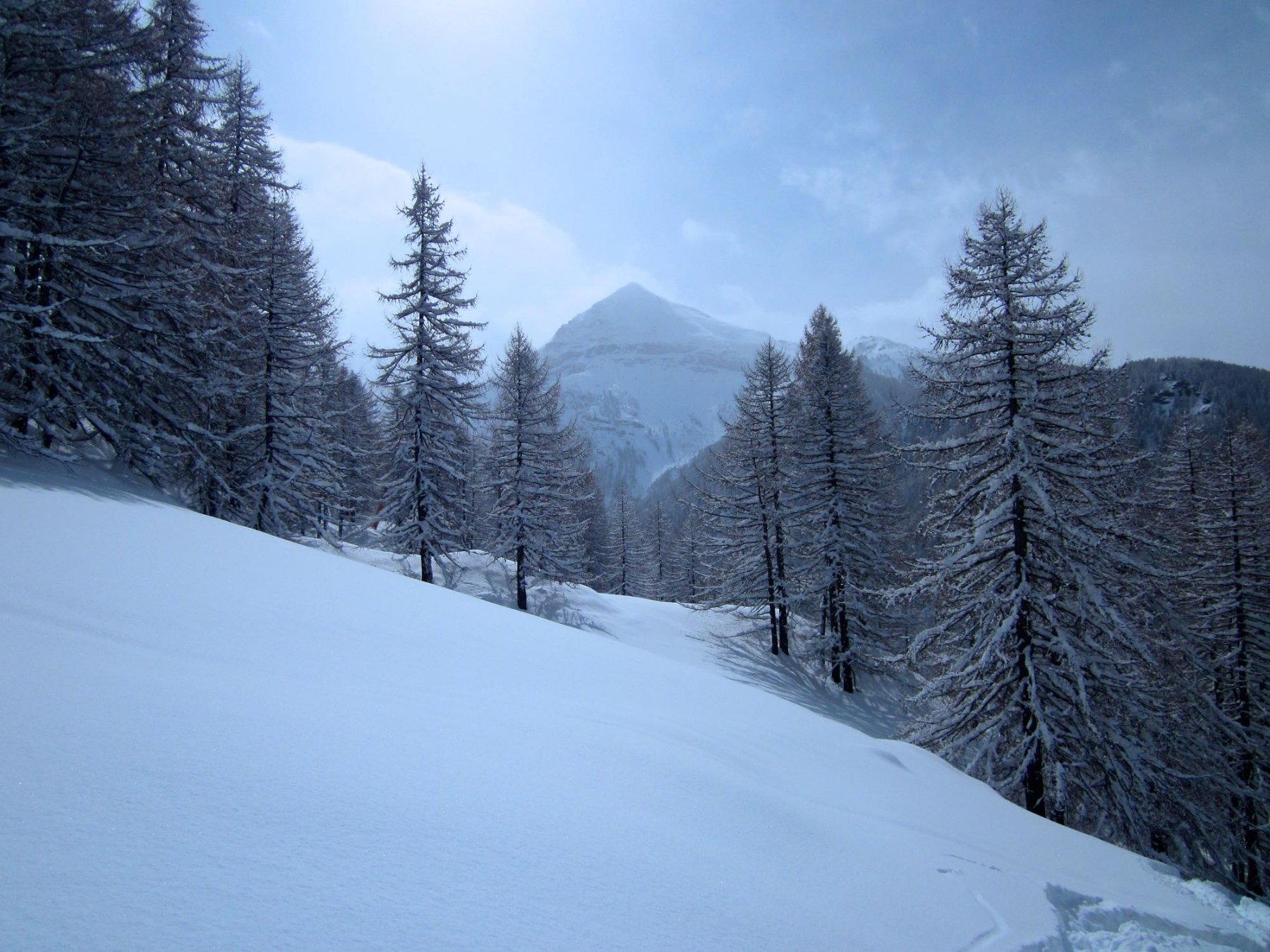
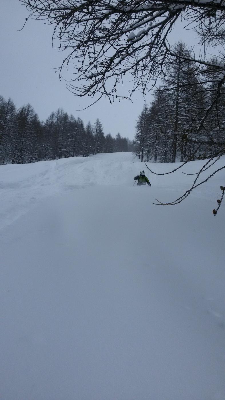
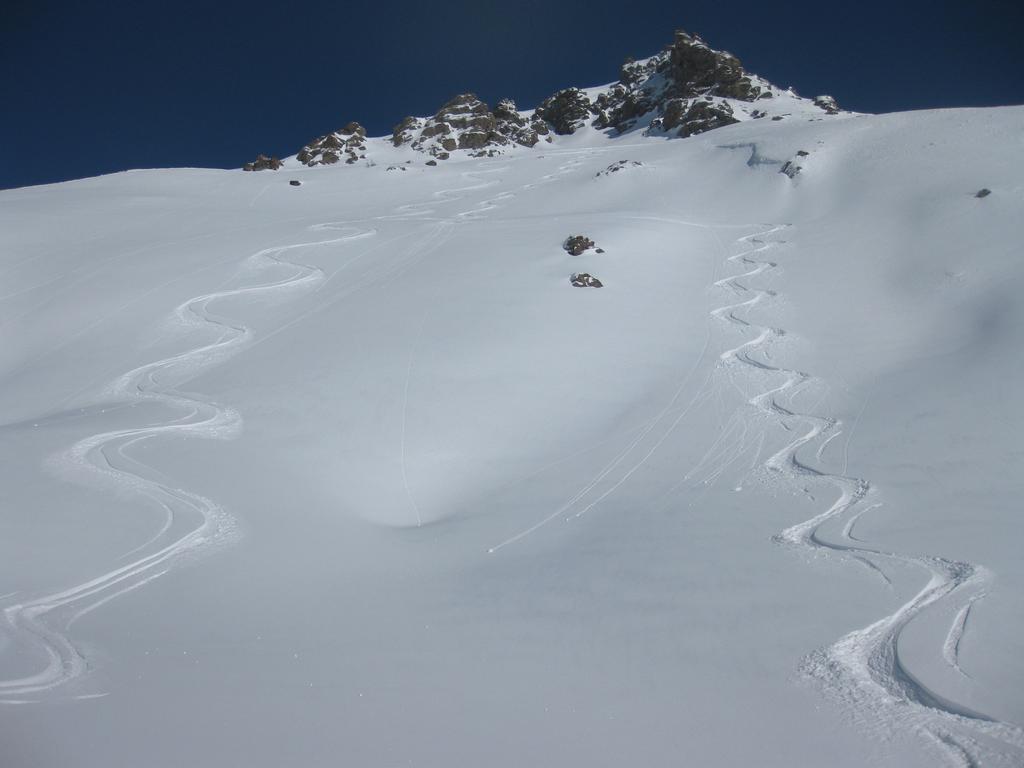
Sfruttando i due skilift e la seggiovia in funzione si possono percorre bellissimi itinerari: in alto di solito si trovano pendii ampi, man mano che si scende si passa dal bosco rado a fitto con pendenze anche sostenute. Inoltre c'è la possibilità di scendere dall'ombroso versante del clot per poi tornare a pattmouche con navetta degli impianti (informarsi prima se funziona, se la pista non è battuta solitamente non è in servizio).
Descrizione
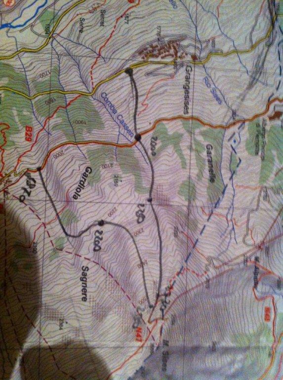
I vari fuoripista possono essere così divisi:
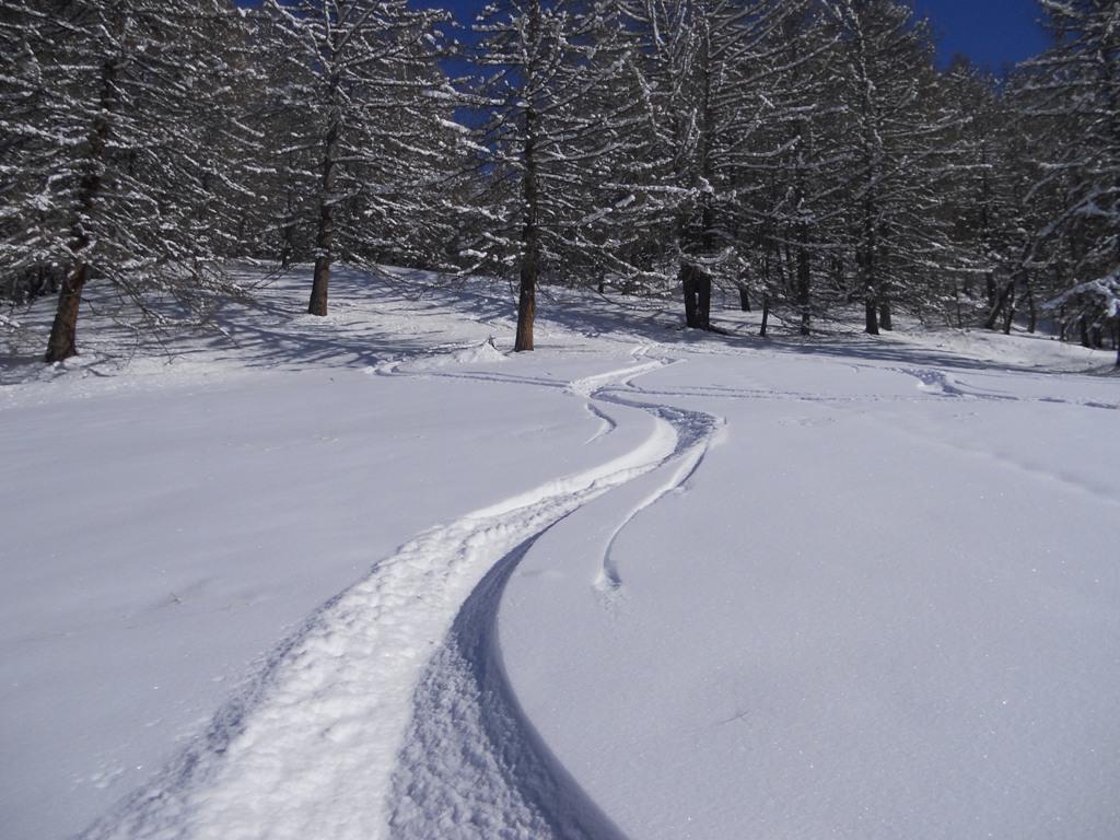
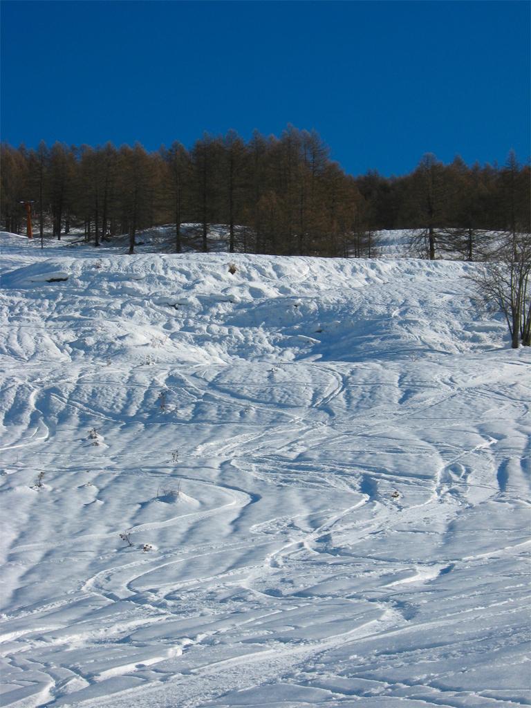
1. Boschi vari: tutti i boschi ai lati degli ski lift e della seggiovia. Più o meno fitti e con pendenze più o meno accentuate.
2. Ex Belotte: dall’arrivo dello skilift smeraldo si traversa tutto a sx fino a portarsi sotto i pali dello skilift belotte (dismesso). Principalmente pendii ampi o al massimo qualche larice basso, se tira vento è facile che i pendii vengano rovinati.
3.Laval: dall’arrivo dello skilift cristallo si scende a sx verso la comba della volpe fino a raggiungere, tra spiazzi e boschetti, la borgata di Laval. Rientro lungo la pista di fondo (ca 1.5km).
4.Joussaud: dalla partenza dello skilift cristallo si scende tenendo un po’ la sx puntando alle sottostanti baite di joussaud; di lì per pendii aperti si raggiunge la pista di fondo che riporta alla seggiovia (ca 1km).
5. Tre Croci: Dall’arrivo dello skilift smeraldo si taglia a dx verso il clot; una volta che si è sulla pistina (non sempre battuta) che porta a mezzacosta verso la seggiovia dismessa si prende il bel vallone che si ha davanti: prima parte su bei pendii aperti (quasi sempre all’ombra) e poi per boschi quasi mai fitti. Fare attenzione a stare sempre sulla SX del canale, a dx il passaggio risulta più difficoltoso e tra delle roccette (in base all’innevamento). Scendendo conviene tenere come riferimento il campanile di traverses, così facendo si arriva sulla pista da fondo all’altezza del grosso ponte di legno (ca 1km dalla seggiovia, in salita..).
6. Vallette: dall’arrivo della seggiovia dismessa del clot si scende per boschi a sx fino ad arrivare sulla sx dei trampolini (rientro con navetta).
7.Mendia: Dall’arrivo dello skilift smeraldo si scende nel grosso vallone dietro agli impianti: prima parte su pendii ampi (neve sicura), poi pianoro (attenzione a valanghe dall’alto) e poi per boschi fino a rientrare in zona clot. Se si dispone di sci d’alpinismo si può rimontare fino in cima allo skilift belotte e allungare così la discesa (3 canali principalmnte, man mano che si va da sx a dx meno ripidi).
8. Seyte: itinerario che è legato allo skilift belotte (dismesso), se si dispone di sci d’alpinismo consiste nel tagliare tutto a sx dall’arrivo dello skilift fin sotto le pendici del morefreddo e quindi per bei boschetti puntare a valle verso la pista di fondo (ca 2 km dalla seggiovia).
- Bibliografia:
- Sestriere Fuoripista
Nelle vicinanze Mappa
Itinerari
24/12/2025 TO, Sestriere D+ 1000 m 3.1, E1 Nord
Sestriere Boschi
 3.9Km
3.9Km
15/12/2012 TO, Sauze D'oulx D+ 1029 m 3.2, E2 Nord
Barracano
 5.7Km
5.7Km
17/03/2013 TO, Sauze D'oulx D+ 580 m 3.2, E1 Nord
Sportinia-Prariond
5.9Km
23/01/2015 TO, Sestriere 3.1, E1 Varie
Sestriere Pali della luce, Sotto Rognosa, Colombiere
 6Km
6Km
22/12/2012 TO, Sauze D'oulx D+ 1110 m 3.2, E1 Nord-Ovest
Rio Nero
 6.1Km
6.1Km
14/02/2018 TO, Sestriere D+ 720 m 3.2, E1 Ovest
Grangesises dal Sises
 6.2Km
6.2Km
12/03/2013 TO, Sestriere D+ 595 m 3.1, E1 Sud-Est
Basset (Col) dal Fraiteve
6.2Km
22/12/2012 TO, Sestriere D+ 580 m 3.2, E1 Sud-Ovest
Sises (Monte) discesa a Bessen Haut
 6.2Km
6.2Km
08/12/2012 TO, Sauze di Cesana D+ 940 m 3.1, E1 Sud
Roccia Rotonda da Sansicario
9Km
01/12/2012 TO, Sestriere D+ 540 m 1.1, E1 Sud
Chalmettes – Rollieres da San Sicario
10.3Km
Servizi
50m
50m
Al Mulino Ristorante
Pragelato
1.8Km
Mulino di Laval Rifugio
Pragelato
3.3Km
Refugium – ex. Rif. Belotte Rifugio
Pragelato
3.5Km
Casa degli Escartons Alex Berton B&B
Pragelato
3.6Km
Casa Alpina Rifugio
Pragelato
3.6Km
Passet Ristorante
Pragelato
4.9Km
L’itialette Ristorante
Pragelato
5.8Km
Troncea Rifugio
Pragelato
6.4Km