1.6Km
1.6Km
Note
Storico
 50m
50m
1Km
1.6Km
2Km
2.5Km
2.5Km
2.5Km
2.5Km
2.7Km
50m
50m
1Km
1.6Km
2Km
2.5Km
2.5Km
2.5Km
2.5Km
2.7Km
1.6Km
4Km
4.7Km
6Km
6Km
6.2Km
6.7Km
6.7Km
6.9Km
7.7Km
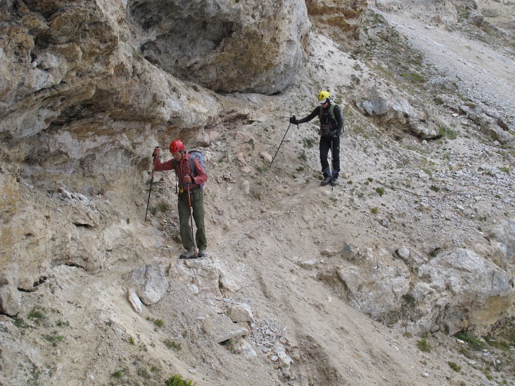
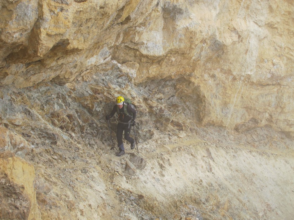
Escursione molto consigliabile per il magistrale sentiero di avvicinamento al colle dell'Argentera, scavato nella roccia, utilizzando una mulattiera costruita dagli Alpini ai primi del novecento. Alcuni tratti sono particolarmente stretti (30 cm) ed esposti vertiginosamente su pendii strapiombanti.
Verificare di volta in volta lo stato della labile traccia; evitare assolutamente in caso di pioggia, neve, gelo.
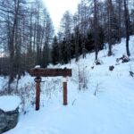
Avvicinamento
Verificare di volta in volta lo stato della labile traccia; evitare assolutamente in caso di pioggia, neve, gelo.
Percorrere la val di Susa, oltrepassare Exilles e girare a destra per Eclause e rifugio Levi-Molinari. Superato Eclause proseguire per circa 300 metri sempre su ottimo asfalto ed imboccare (a 4 km dal bivio dalla Statale 24) una sterrata a sinistra; la strada strettina, prosegue a lungo in discrete condizioni (ma è preferibile un'auto fuoristrada o almeno alta da terra) fino a raggiungere dopo circa 4,5 km il piccolo parcheggio (3-4 posti) che precede le Grange Hubert.
Descrizione
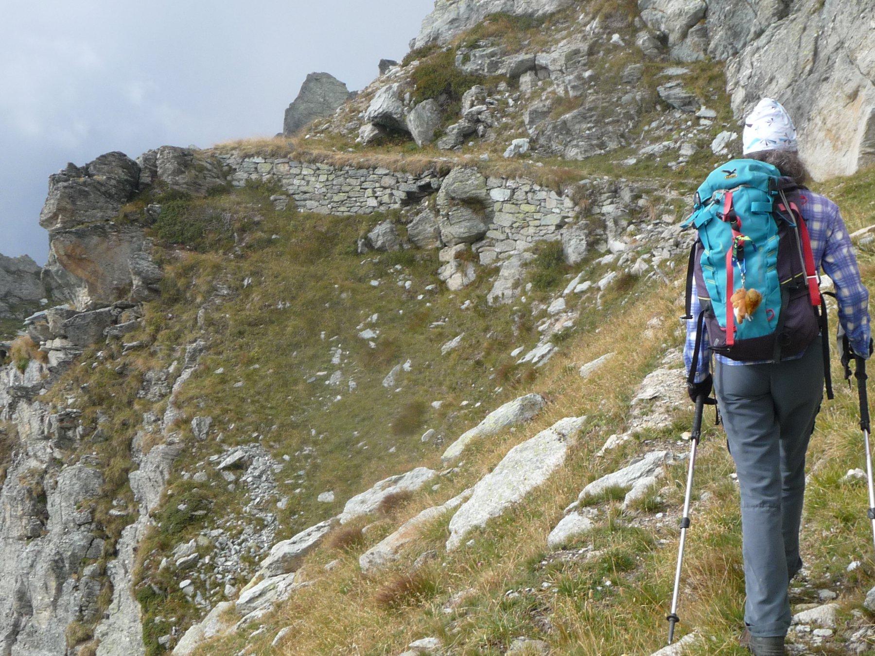
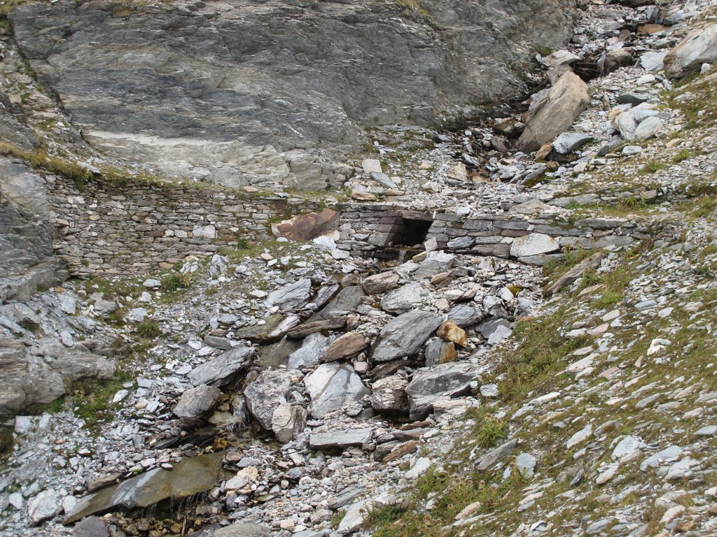
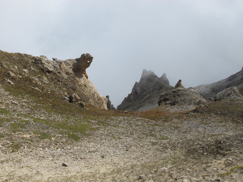
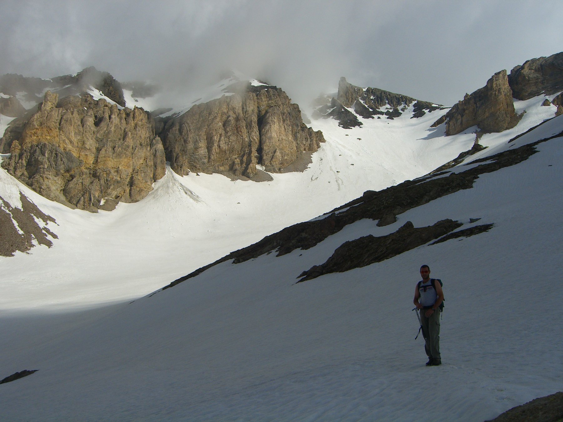
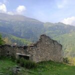
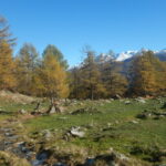
Dal parcheggio, subito prima delle baite, prendere il sentiero a destra che sale decisamente; giunti a circa 2030 metri (dopo mezzoretta) ci si imbatte in un recinto (provvisorio) per ovini, sorvegliato da cani maremmani: si può (via più breve) proseguire diritto raggiungendo in breve una canaletta per l’acqua, che si segue e poi, sempre su evidente sentiero, giungere ai 2350 metri circa del Clot du Vallon (pianoro), si attraversa il torrente portandosi sulla destra idrografica e a circa 2395 metri ci si ricongiunge con il sentiero (da destra) della seconda opzione. L’altra possibilità è quella di lasciare il recinto dell’ovile, piegando decisamente a destra e, sempre su ottimo sentiero, arrivare ai 2485 metri dei ruderi di una caserma (palina indicatrice) posta sotto Casses Blanches: si svolta a sinistra e, perdendo alcune decine di metri, si percorre una ex mulattiera militare in parte franata che solca la parete occidentale di Casses Blanches per giungere ai 2395 metri del bivio.
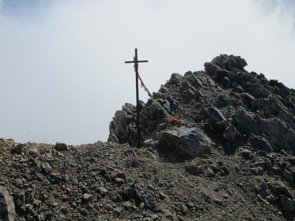
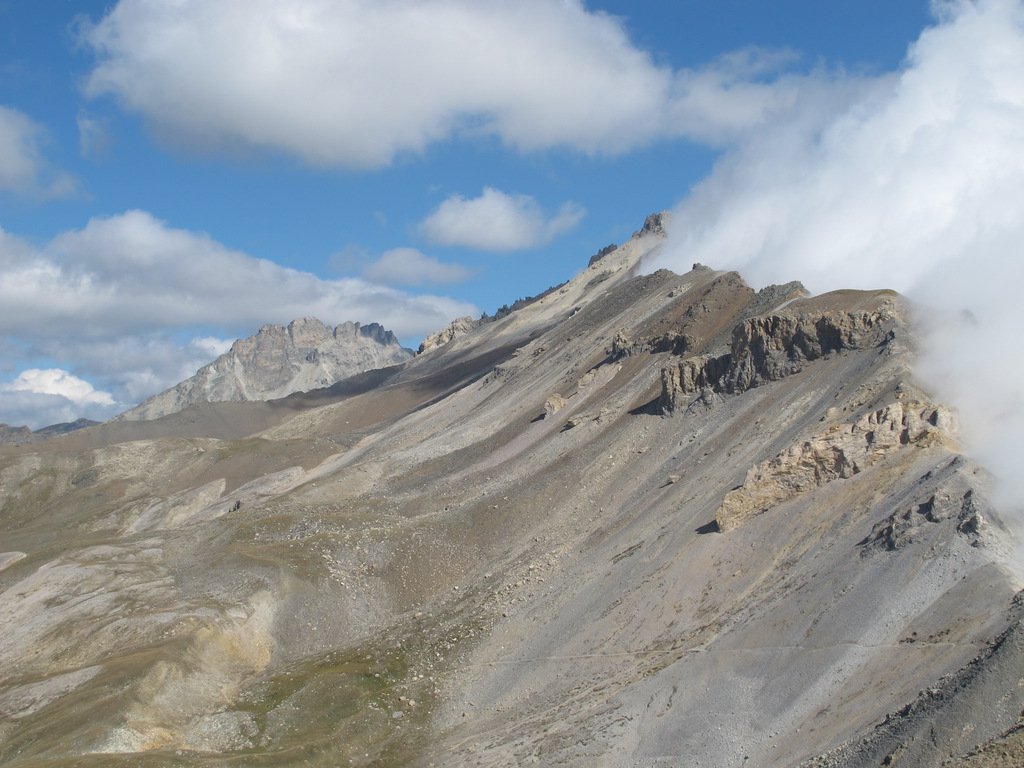
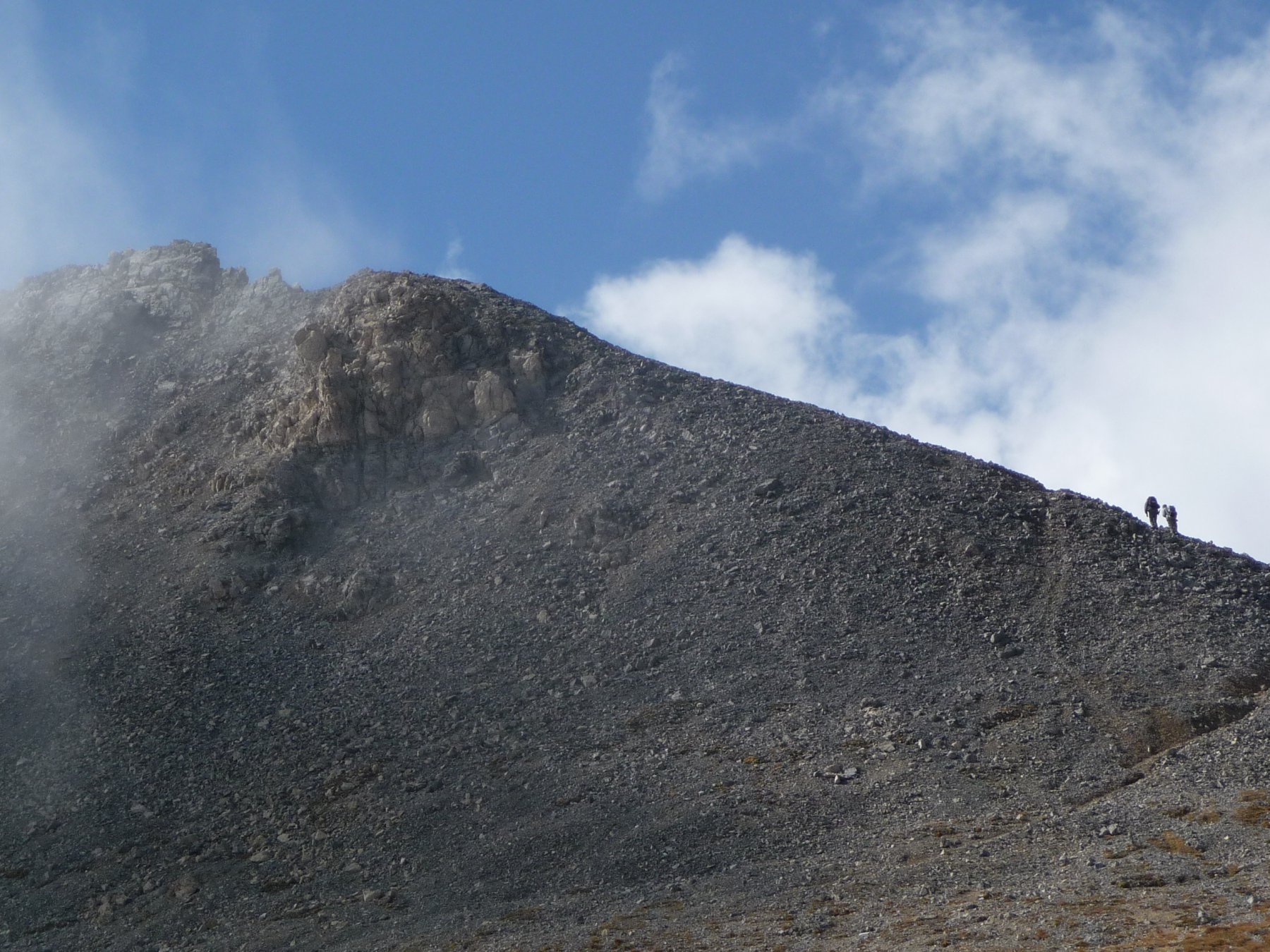
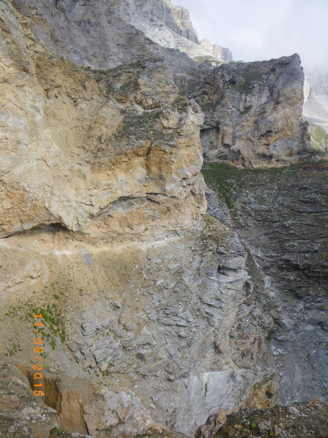
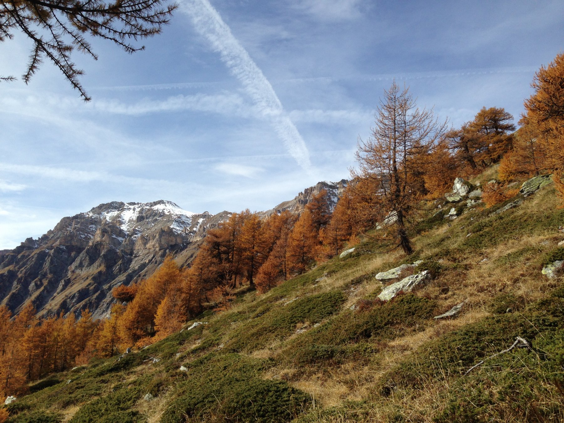
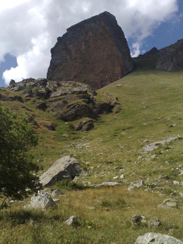
Una serie di tornanti porta lentamente in quota, per poi piegare decisamente a sinistra e raggiungere il tratto più ardito e suggestivo dell’itinerario; dopo essere transitati accanto alla lapide Tabarini (2690 metri) occorre superare il ripido Rio Secco (attenzione e prudenza) e poi alcuni tratti il cui superamento da lontano pare impossibile: la traccia diviene esile e stretta (massimo 30 cm) ma consente di proseguire, fino ad uscire al colle dell’Argentera (2796 metri), dove si spalanca la vista sull’alta val di Susa. Salendo a sinistra su sentiero sempre ben tracciato si perviene in breve alla prima piccola croce del Seguret (2926 metri) e in pochi minuti alla seconda, più bassa e più grande: panorama meritevole.
Mulattiera e sentiero costruiti con maestria dagli Alpini in luoghi apparentemente inaccessibili
- Cartografia:
- IGC 25000
Nelle vicinanze Mappa
Itinerari
17/09/2017 TO, Salbertrand D+ 958 m EE/F Sud-Est
Argentera (Colle dell’) da Grange Hubert per la Via Rossa
 50m
50m
12/09/2015 TO, Salbertrand D+ 1380 m EE/F Sud-Est
Vallonetto (Cima del) da Grange Hubert
 50m
50m
19/03/2022 TO, Salbertrand D+ 862 m E Sud
Pramand (Forte) da Moncellier
 1Km
1Km
24/03/2024 TO, Salbertrand D+ 408 m T Sud
Moncellier, Eclause (Frazioni) da Salbertrand, anello
 1.6Km
1.6Km
13/11/2025 TO, Salbertrand D+ 1299 m E Sud
Casses Blanches da Eclause
 2Km
2Km
09/04/2026 TO, Salbertrand D+ 720 m E Varie
Arlaud Daniele (Rifugio) da Salbertrand
 2.5Km
2.5Km
13/12/2020 TO, Salbertrand D+ 700 m E Est
Buissonière, Etanche (Case) da Salbetrand, anello del Gran Bosco
 2.5Km
2.5Km
26/04/2026 TO, Salbertrand D+ 1517 m E Nord-Ovest
Mottas (Testa di) da Salbertrand per il Rifugio Arlaud e il Col Lauson
 2.5Km
2.5Km
09/08/2012 TO, Salbertrand D+ 9500 m EE Nord
Troncea, Lago Verde, Jervis, Giacoletti, Melezè (Rifugi) traversata Valle di Susa – Val Varaita traversata (6 gg)
 2.5Km
2.5Km
26/10/2025 TO, Salbertrand D+ 743 m E Varie
Chabriere (Monte) da Selle Marre, anello per Grange della Valle
 2.7Km
2.7Km
Servizi
1.6Km
4Km
Levi Molinari Rifugio
Exilles
4.7Km
Arlaud Rifugio
Salbertrand
6Km
La Quadriglia Ristorante
Exilles
6Km
L’ultima stisa Ristorante
Exilles
6.2Km
Touplan Ristorante
Exilles
6.7Km
orto del frate Ristorante
Sauze d'Oulx
6.7Km
paddy mc ginty Ristorante
Sauze d'Oulx
6.9Km
L’Cantun B&B
Sauze D'oulx
7.7Km