1.2Km
1.2Km
Note
 50m
50m
50m
1.2Km
1.5Km
1.5Km
2.1Km
2.5Km
2.5Km
2.5Km
50m
50m
50m
1.2Km
1.5Km
1.5Km
2.1Km
2.5Km
2.5Km
2.5Km
1.2Km
2.2Km
4.8Km
4.8Km
4.9Km
5.1Km
5.3Km
6.3Km
6.3Km
6.6Km
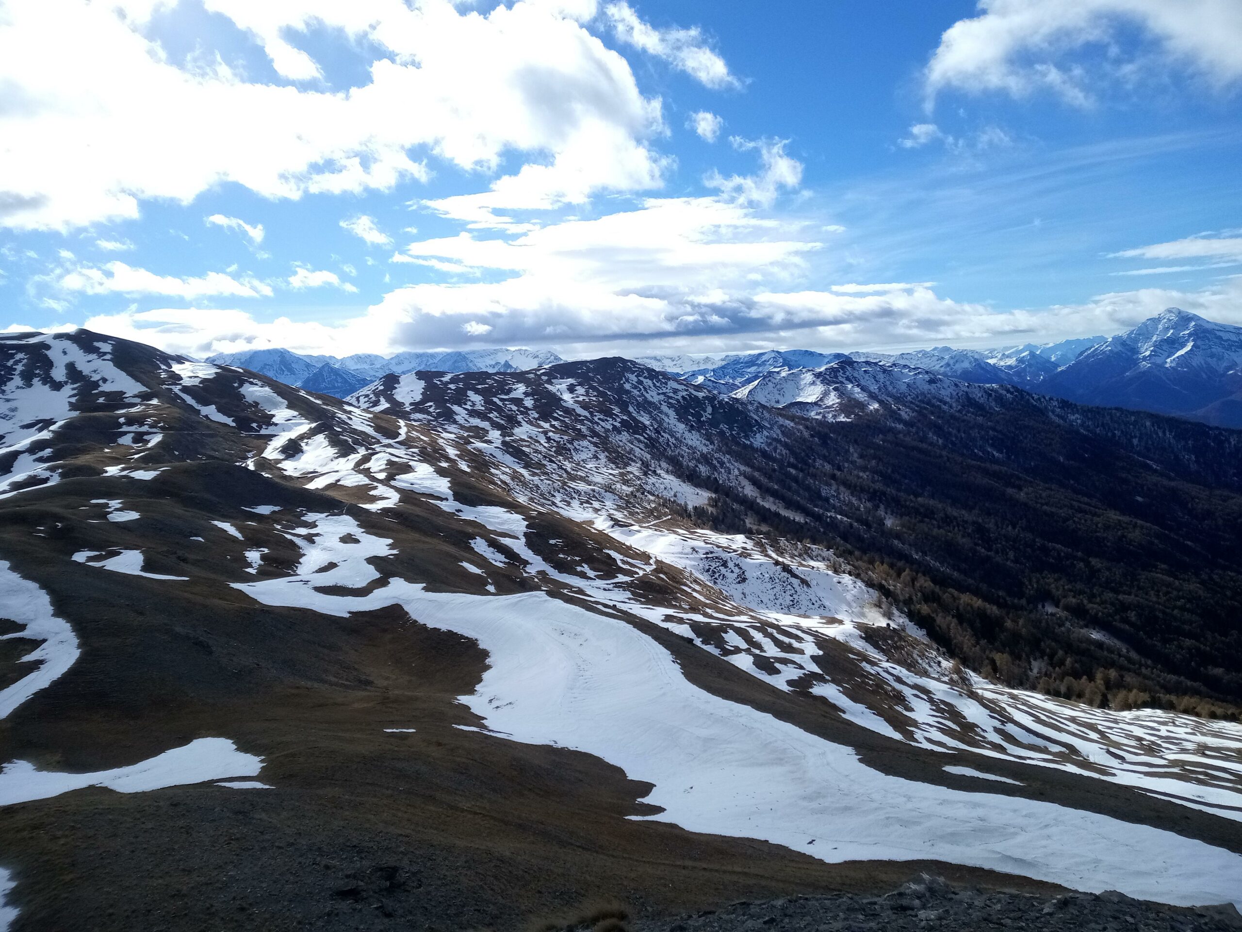
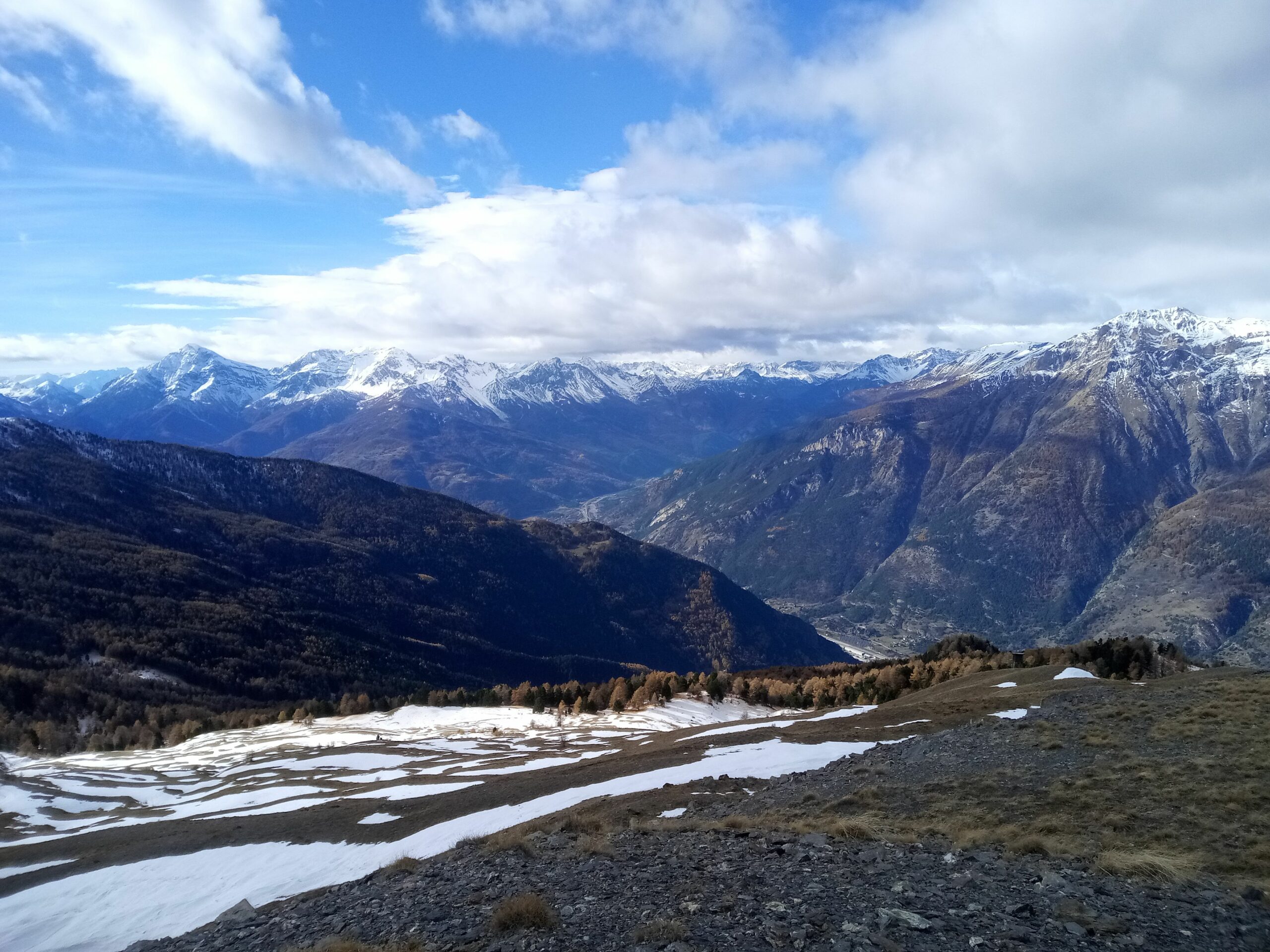
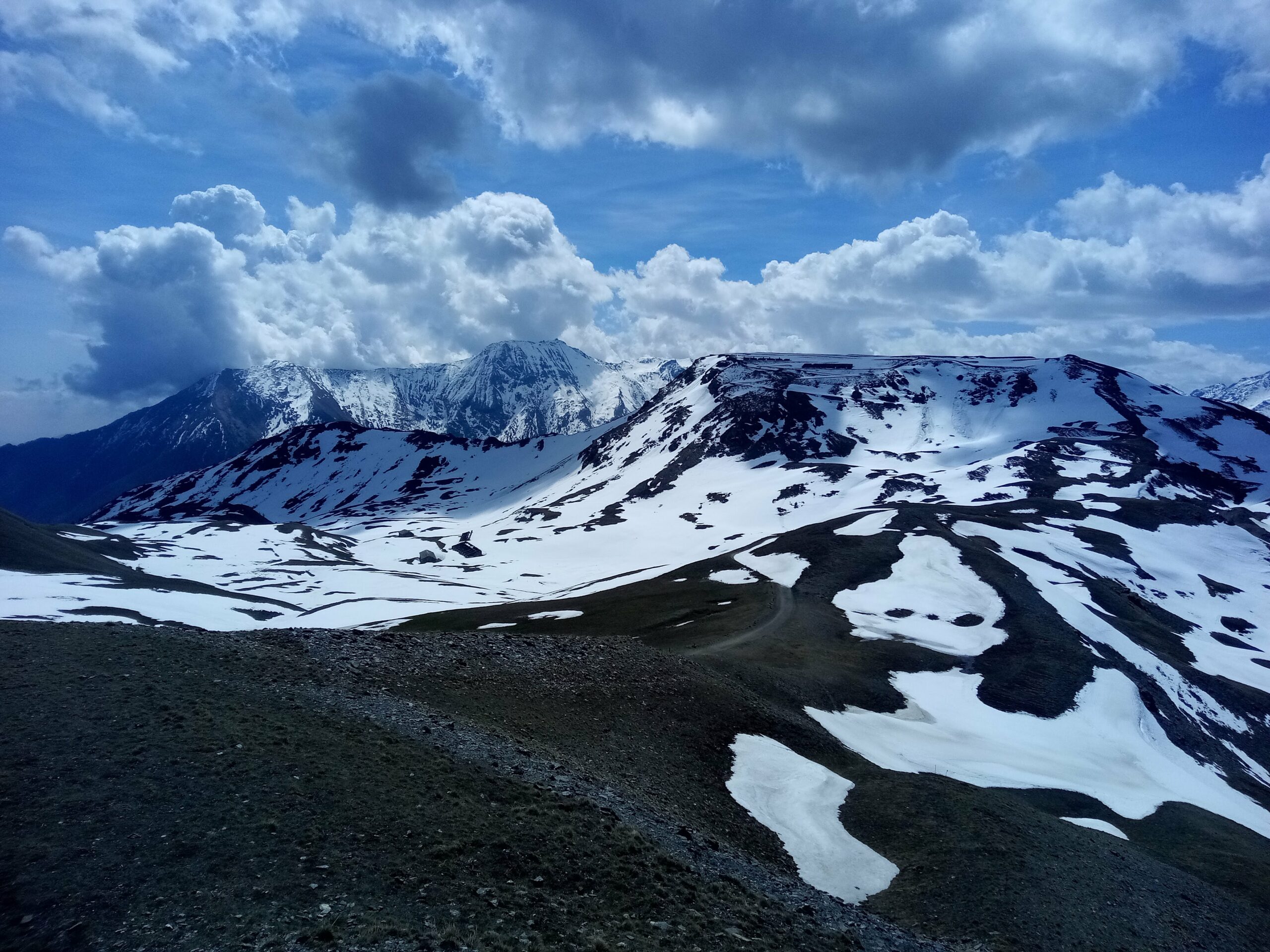
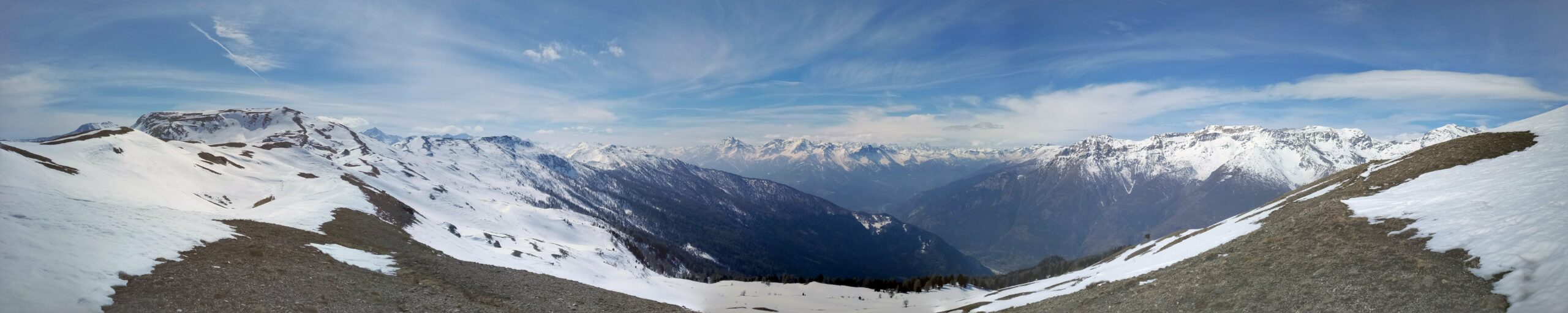
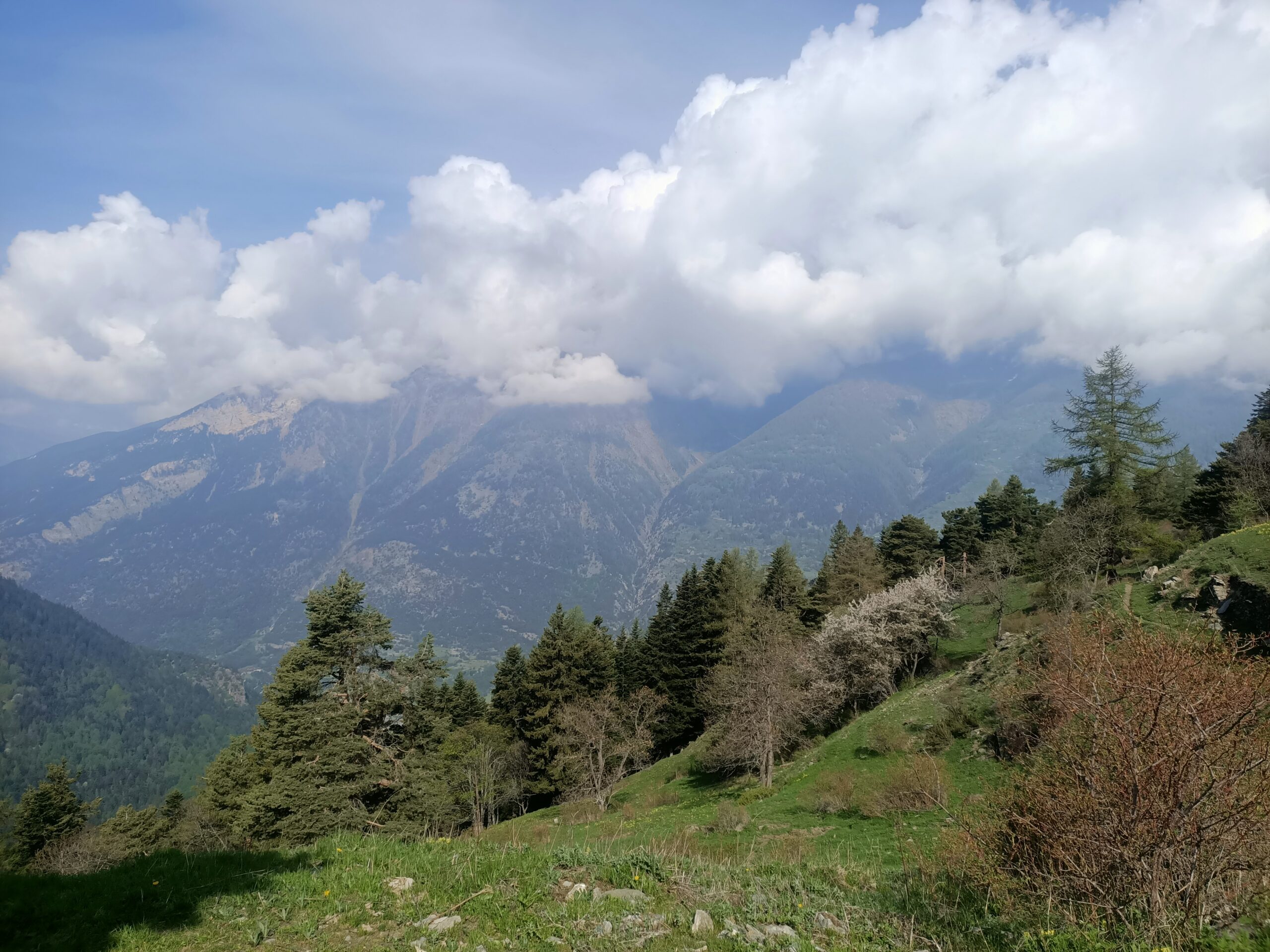
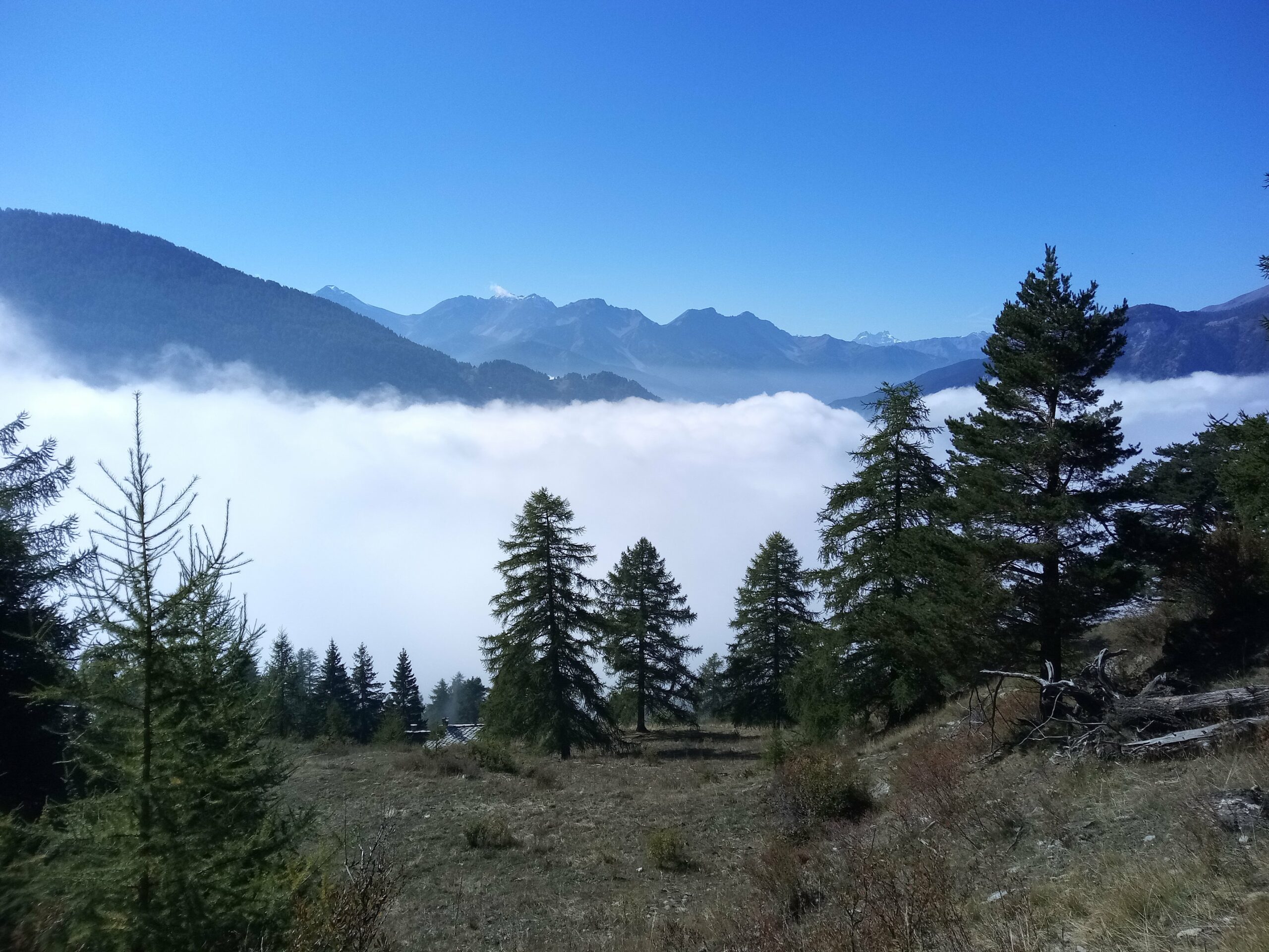
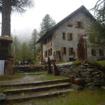
escursione di buon dislivello che permette di visitare il bellissimo Parco Naturale del Gran Bosco di Salbertand. Da qualche hanno è stato apero un rifugio a quota 1771 presso l'abitato di Montagne Seu aperto d'estate ma anche nei fine settimana invernali (informarsi prima).
Buone possibilità di avvistare camosci e cervi ma anche numerosi rapaci. Il sentiero è molto ben tenuto in quanto si tratta del Gta che permette la traversata Salbertrand-Usseaux.
Avvicinamento
Buone possibilità di avvistare camosci e cervi ma anche numerosi rapaci. Il sentiero è molto ben tenuto in quanto si tratta del Gta che permette la traversata Salbertrand-Usseaux.
,
Descrizione
Da Salbertrand seguire le indicazioni per la sede del parco, appena superato uno stretto sottopasso imboccare verso destra la sterrata che dopo poche centinaia di metri porta all’area attrezzata della Pinea (1054 m) dove si può parcheggiare.
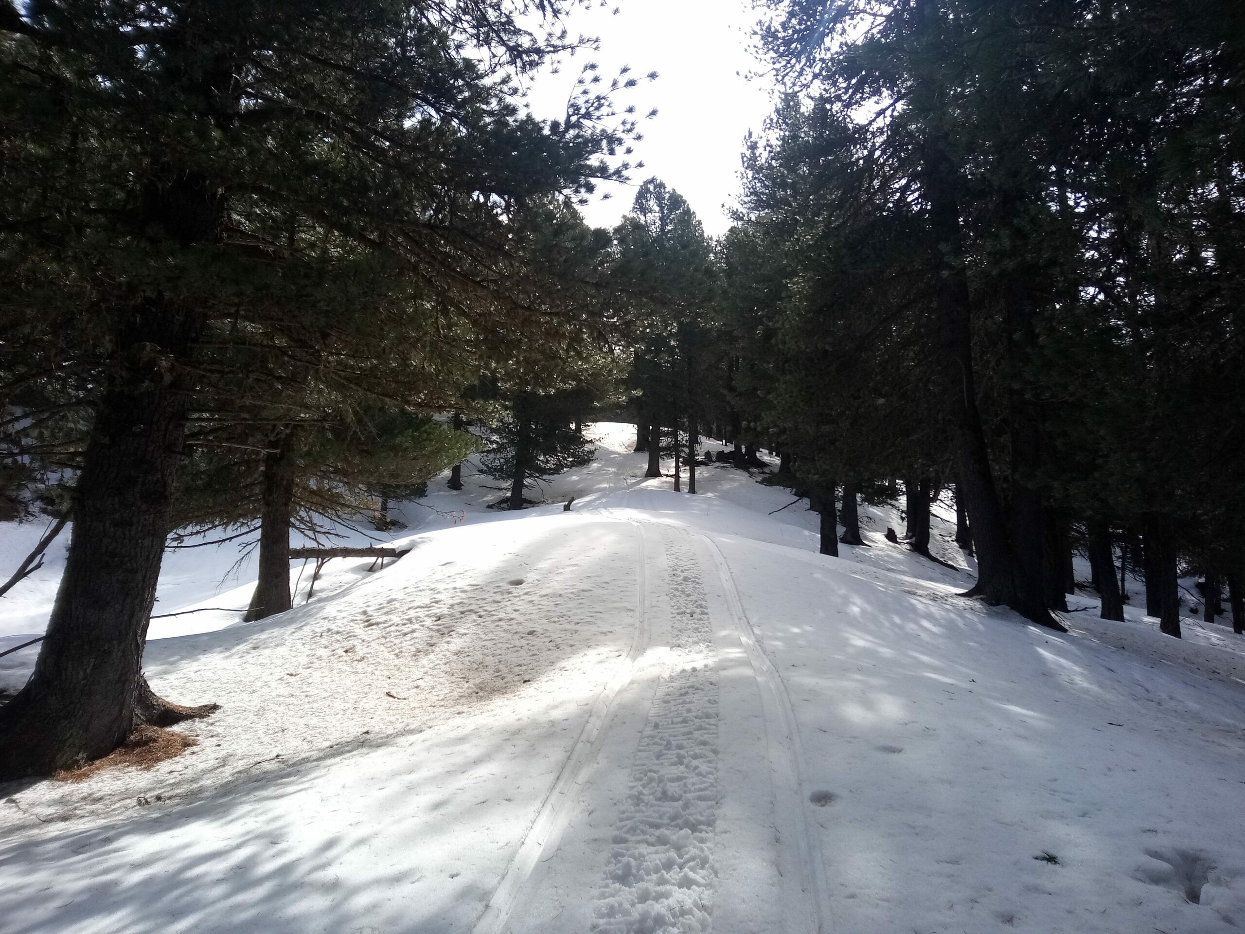
Tornando indietro per qualche metro si imbocca il sentiero gta verso sinistra che, dopo aver trascurato una diramazione a sinistra, si inoltra nel bosco di abeti.
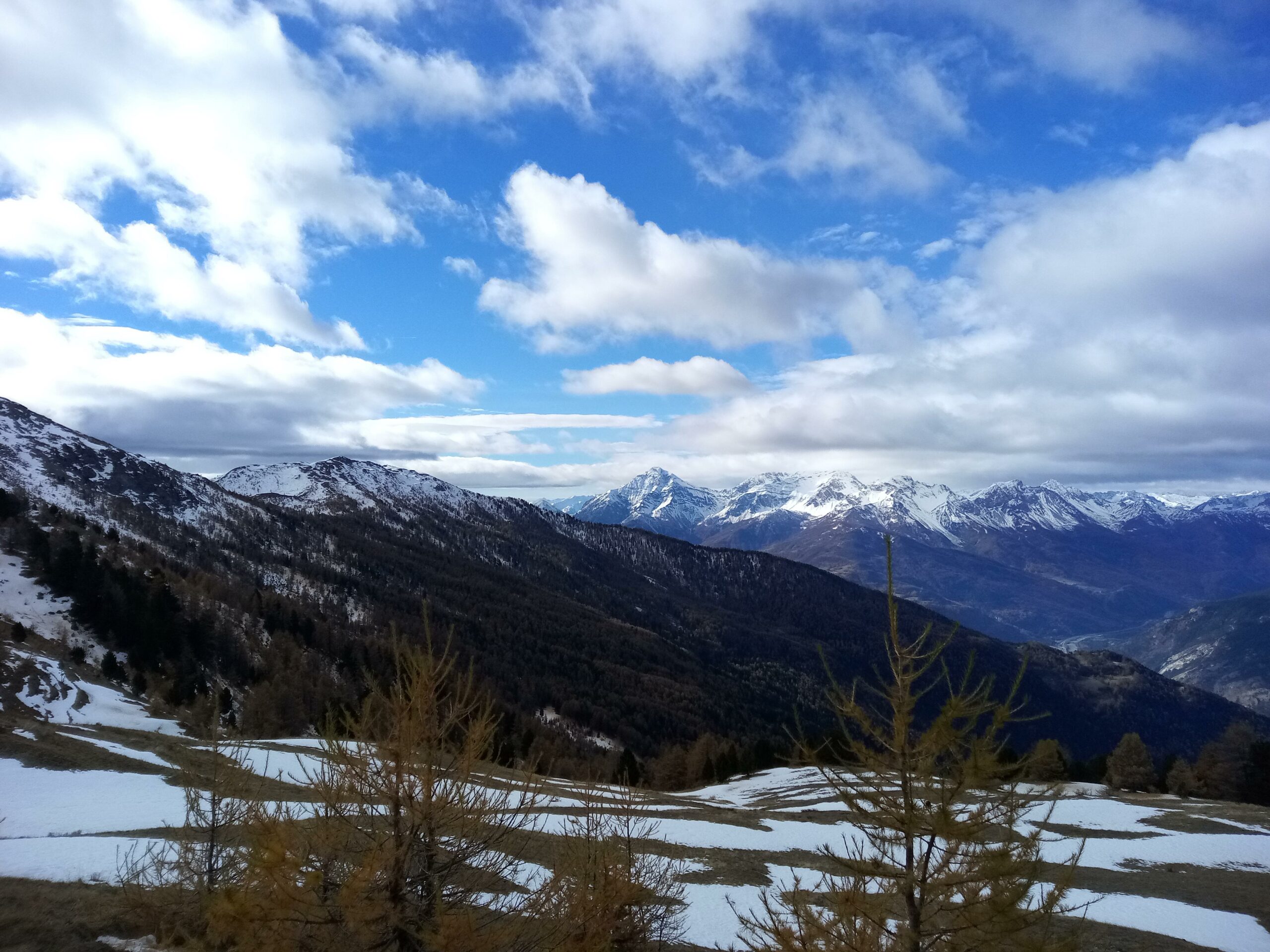
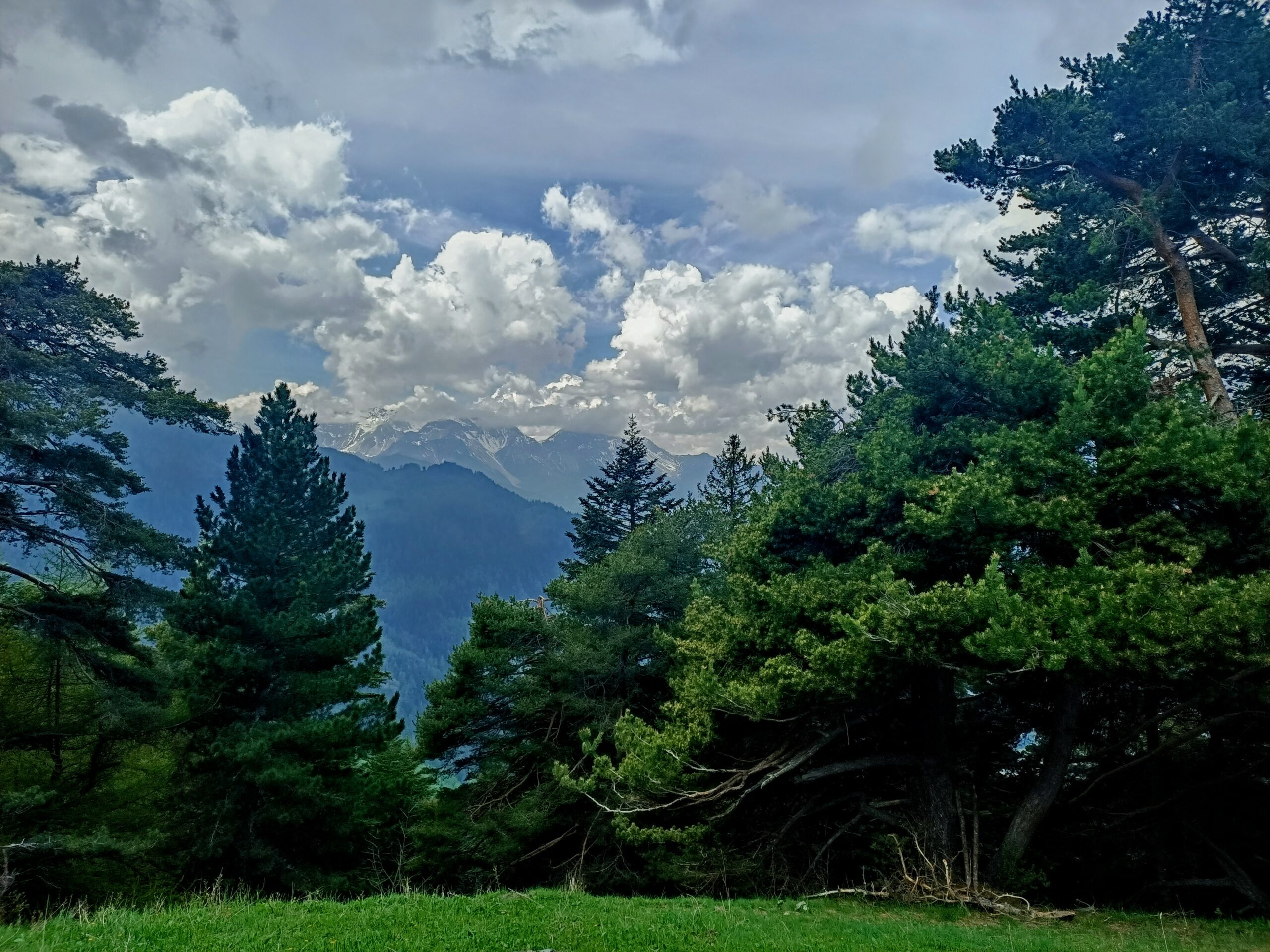
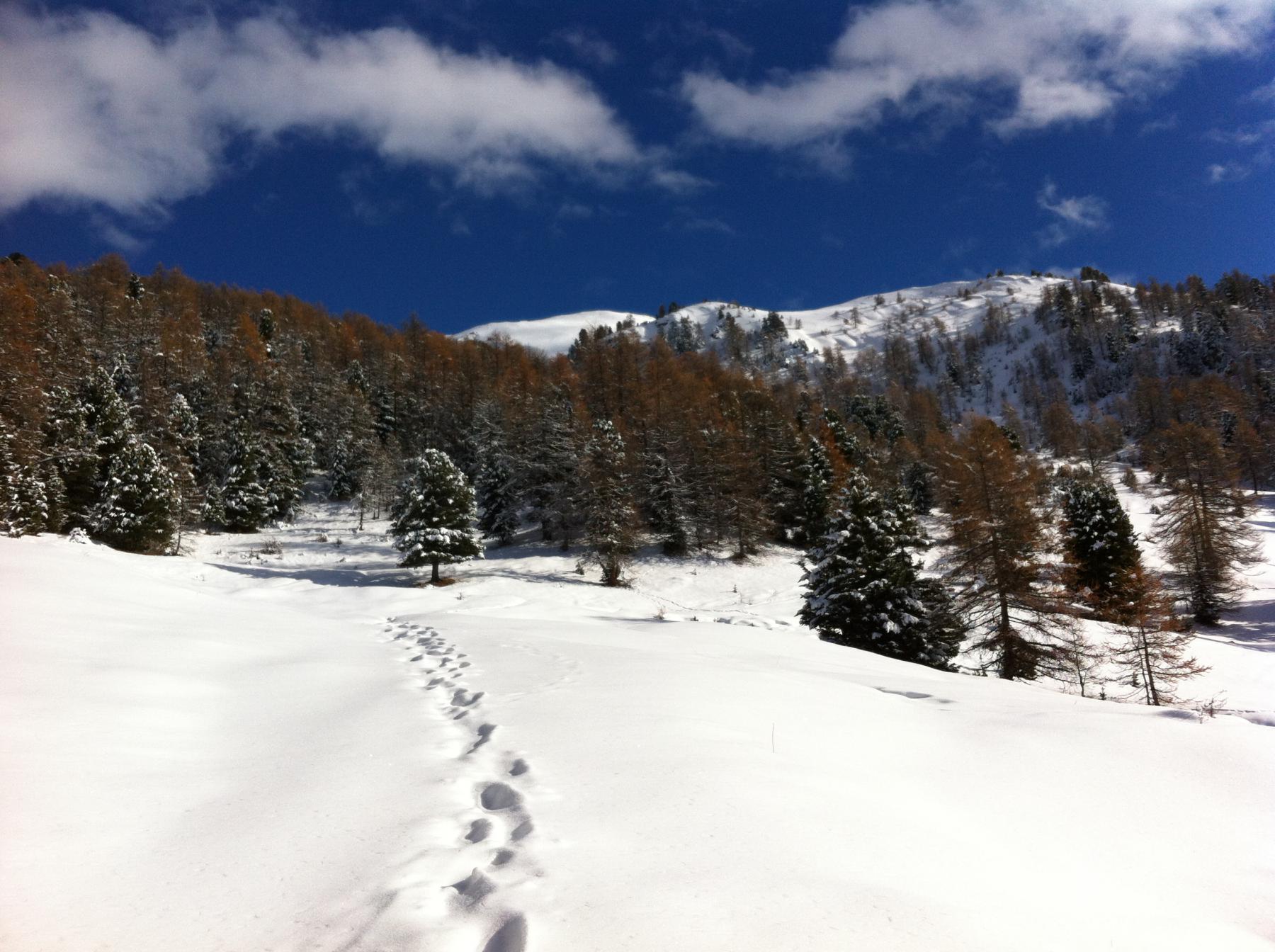
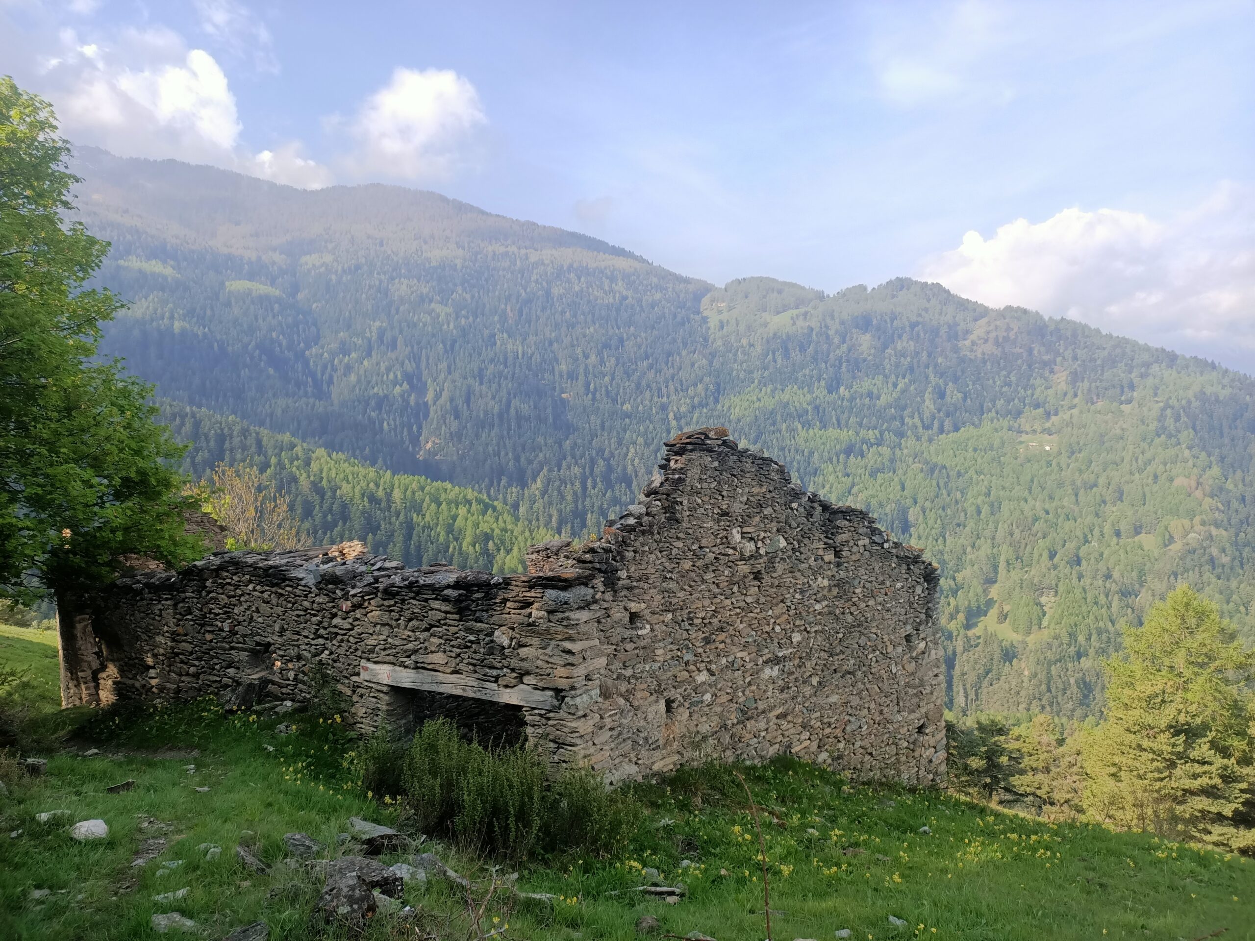
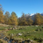
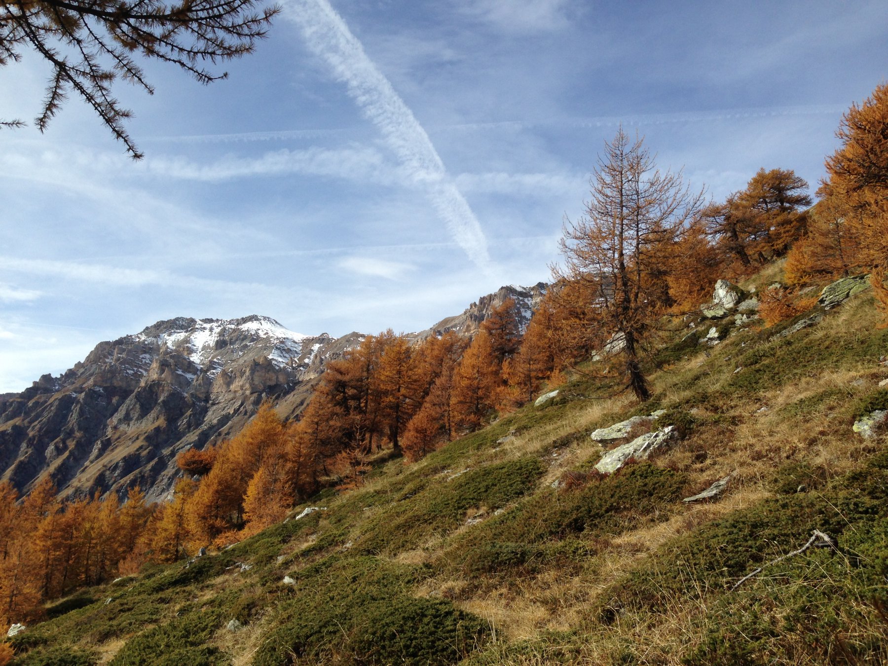
Seguendo il sentiero sempre ben segnalato si superano in successione le gr.Pineis (1346 m) e le gr.d’Himbert (1394 m) arrivando così alla grande borgata Montagne Seu dove è stata realizzata dal parco una casa rifugio (1771 m). Il gta piega a questo punto verso sinistra e continua a salire nel bosco intervallato da bellissime radure.
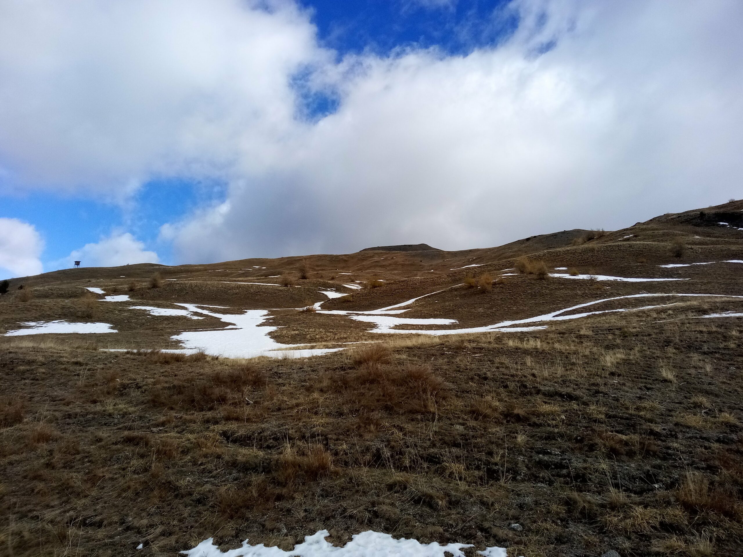
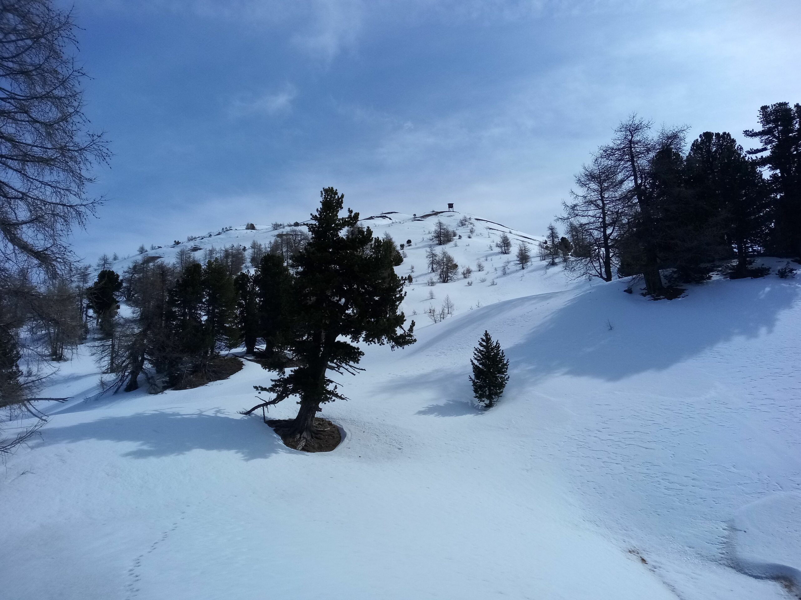
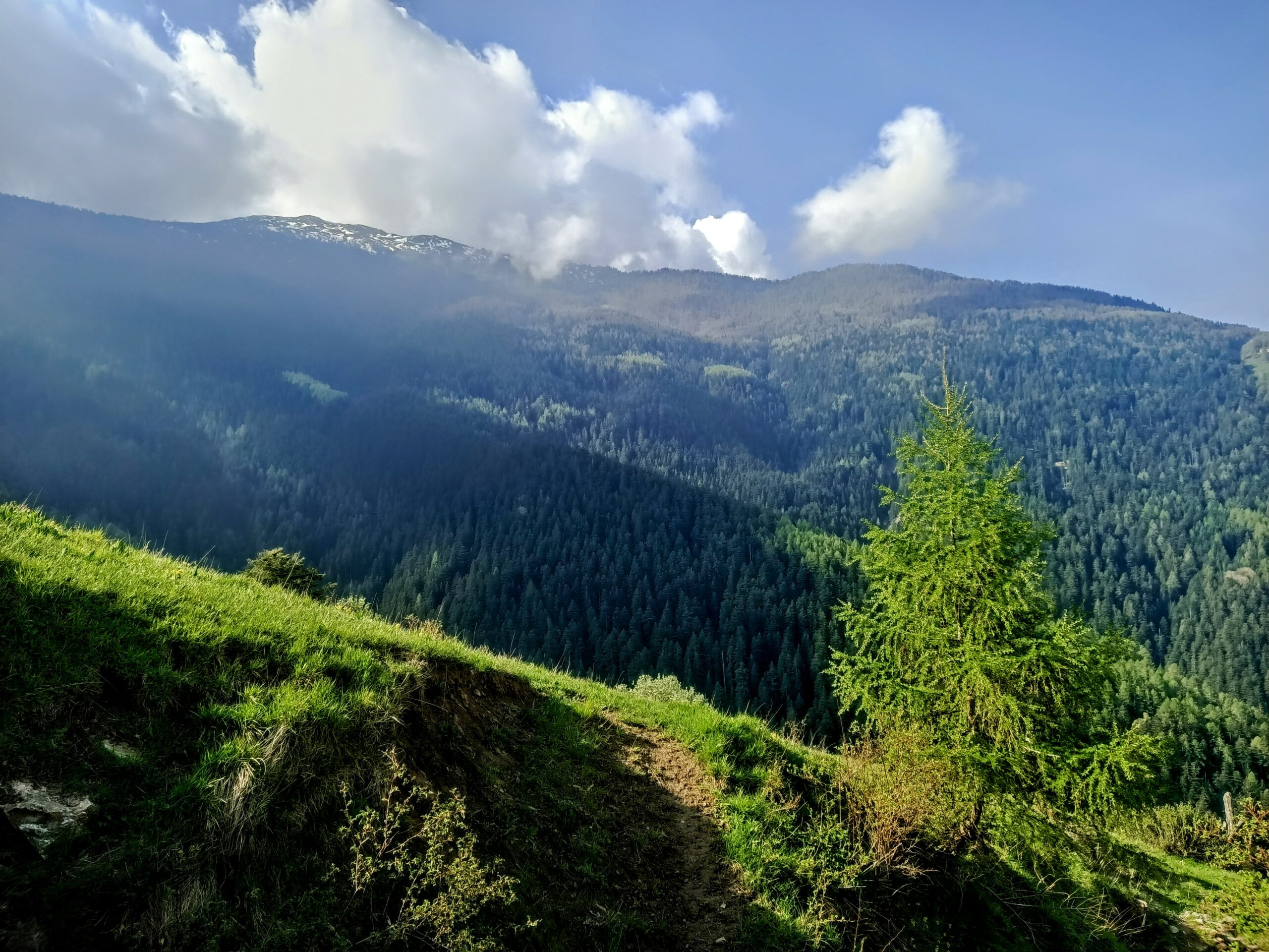
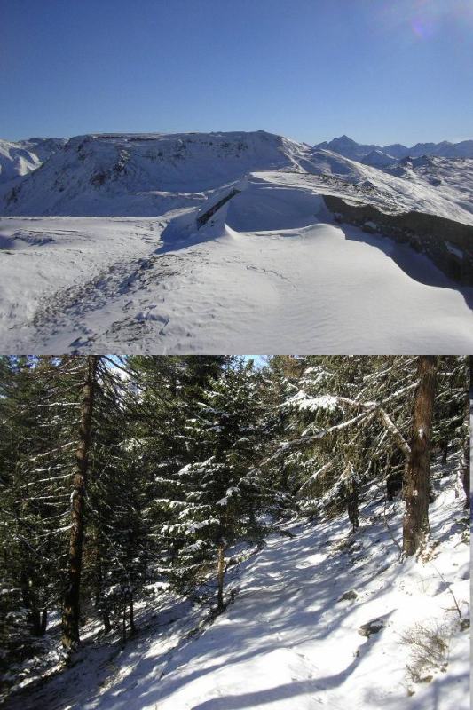
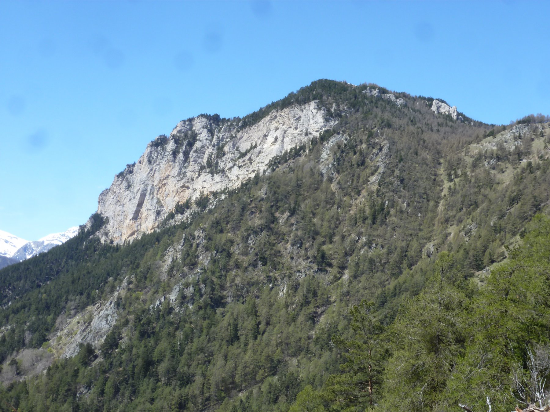
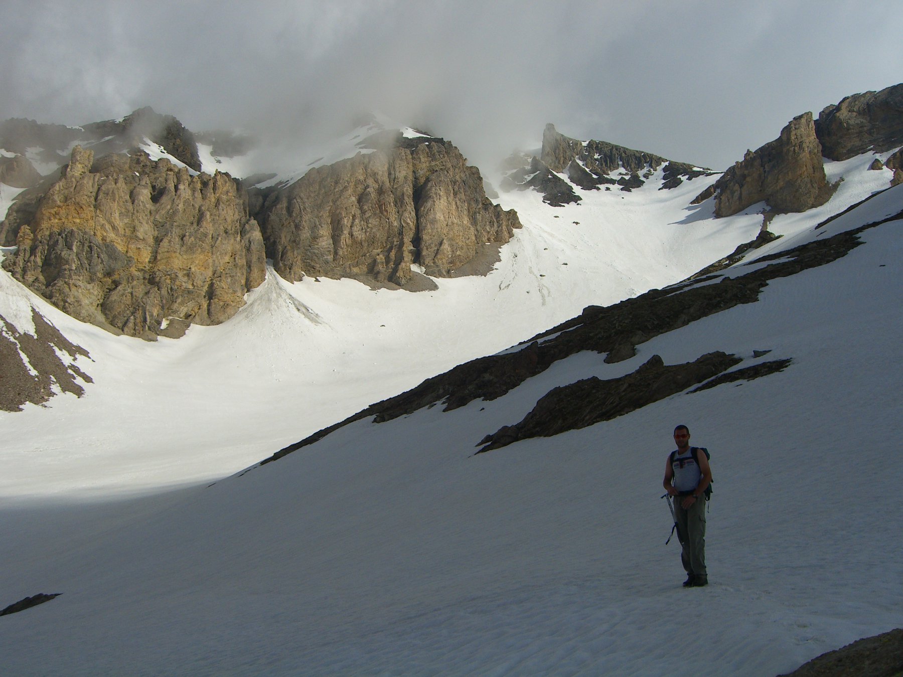
Si passa nei pressi dell’Alpe le Selle (2036 m) raggiungibile con breve deviazione e verso quota 2250 si esce sugli aperti pascoli superiori dove ben presto si incrocia la strada dei cannoni (palina, 2300 m ca.). A questo punto il sentiero gta non sale al colle Lauson proprio davanti a noi ma piega bruscamente a sinistra e, tagliando i pendii che scendono dal monte Gran Costa, raggiunge il colletto a quota 2483 apeto sulla val Chisone.
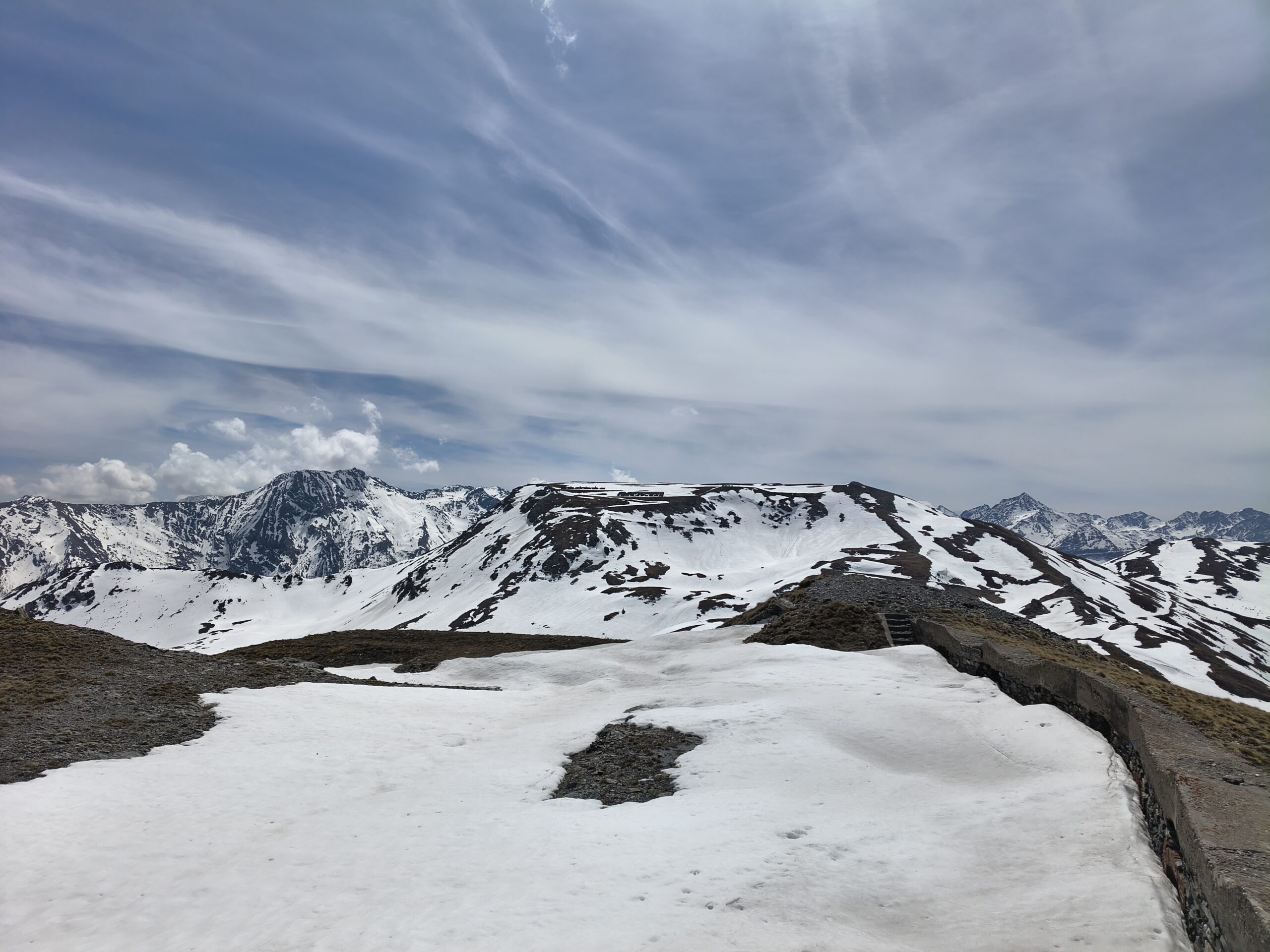
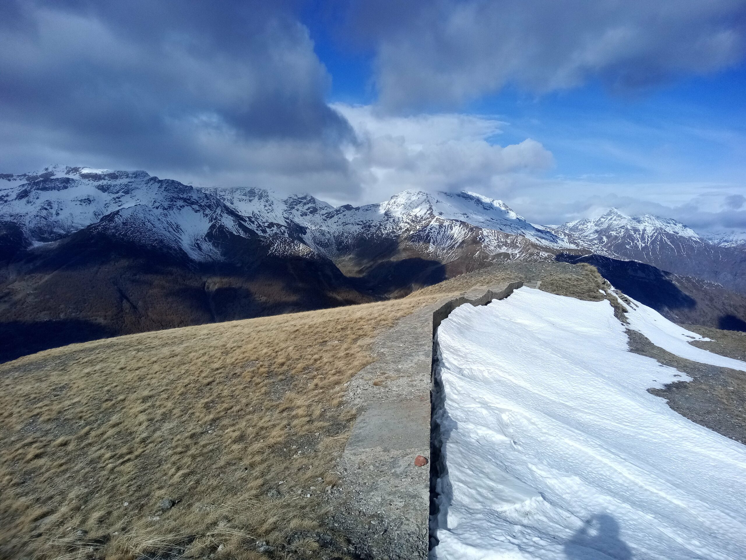
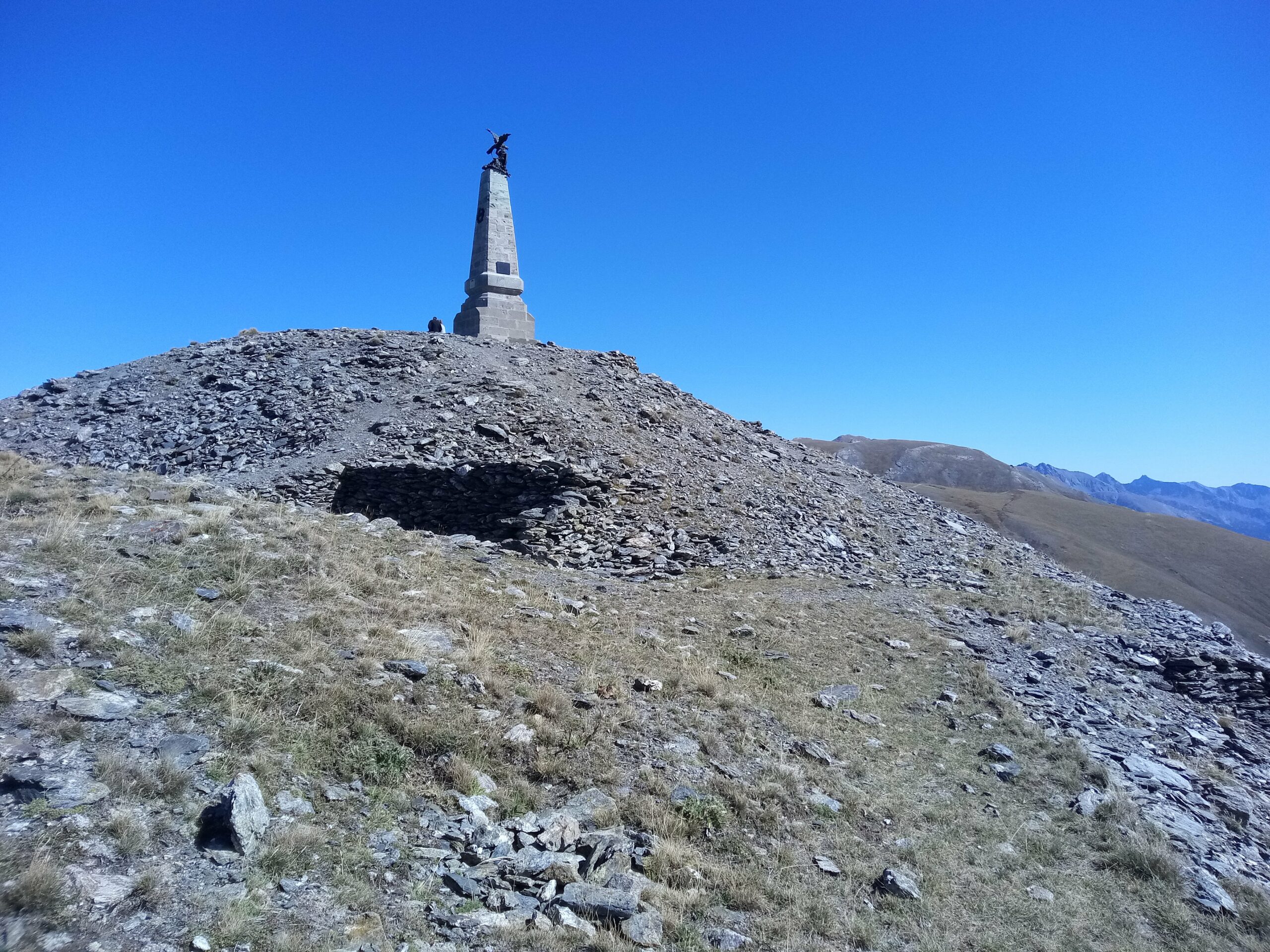
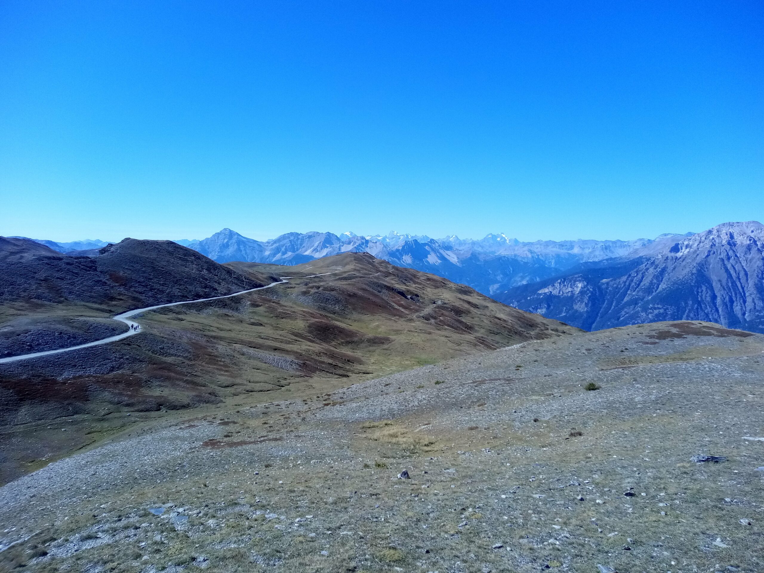
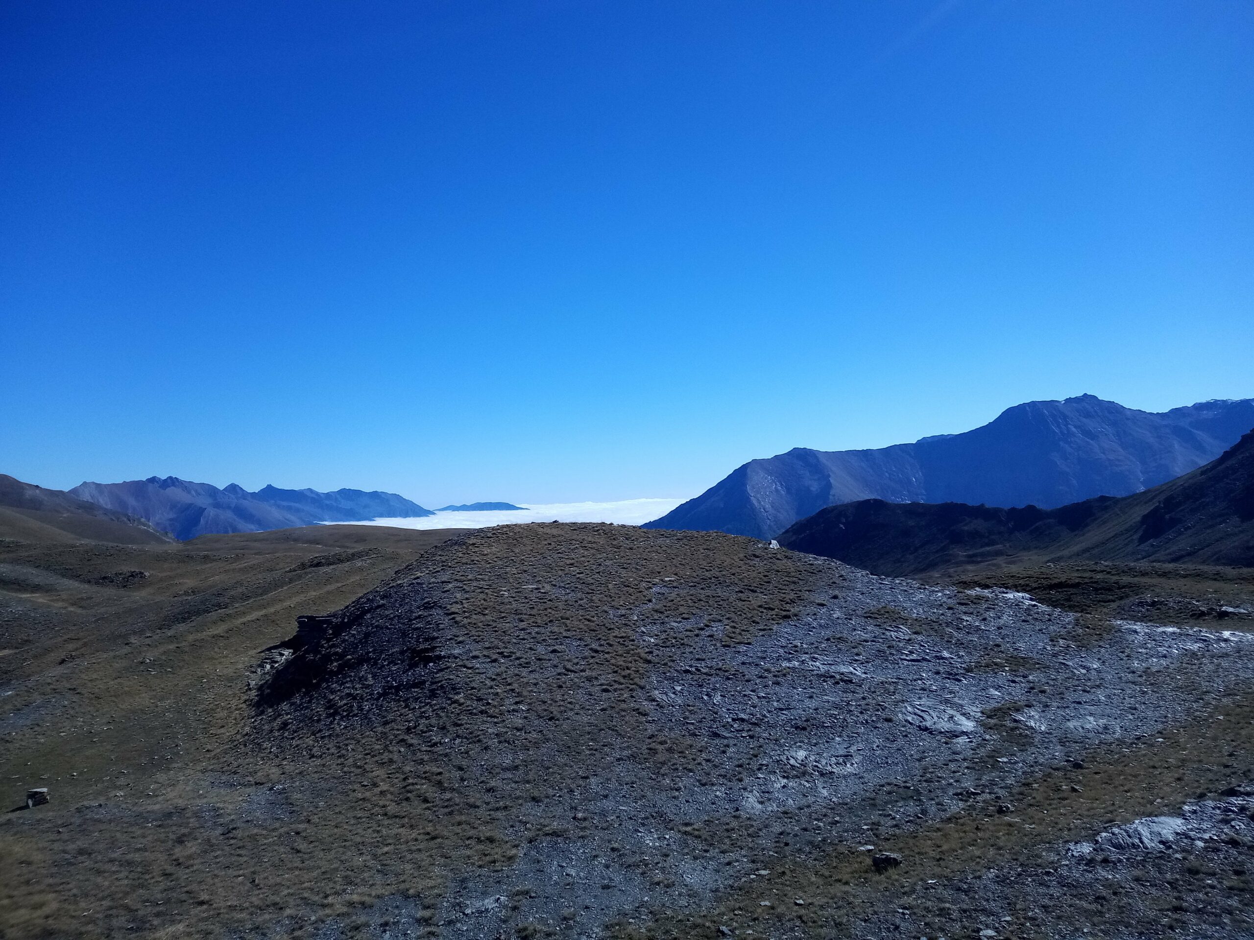
Seguendo il filo di cresta verso sinistra o la strada militare poco sotto versante val Chisone in breve si raggiunge la modesta ma panoramica Testa di Mottas (2547 m, palina) dove sorge un antica fortificazione militare.
- Cartografia:
- Fraternali 1:25000 n.1 Alta Valle di Susa, IGC n.1 1:50000
Nelle vicinanze Mappa
Itinerari
09/04/2026 TO, Salbertrand D+ 720 m E Varie
Arlaud Daniele (Rifugio) da Salbertrand
 50m
50m
13/12/2020 TO, Salbertrand D+ 700 m E Est
Buissonière, Etanche (Case) da Salbetrand, anello del Gran Bosco
 50m
50m
09/08/2012 TO, Salbertrand D+ 9500 m EE Nord
Troncea, Lago Verde, Jervis, Giacoletti, Melezè (Rifugi) traversata Valle di Susa – Val Varaita traversata (6 gg)
 50m
50m
24/03/2024 TO, Salbertrand D+ 408 m T Sud
Moncellier, Eclause (Frazioni) da Salbertrand, anello
 1.2Km
1.2Km
26/10/2025 TO, Salbertrand D+ 743 m E Varie
Chabriere (Monte) da Selle Marre, anello per Grange della Valle
 1.5Km
1.5Km
19/03/2022 TO, Salbertrand D+ 862 m E Sud
Pramand (Forte) da Moncellier
 1.5Km
1.5Km
13/11/2025 TO, Salbertrand D+ 1299 m E Sud
Casses Blanches da Eclause
 2.1Km
2.1Km
25/09/2022 TO, Salbertrand D+ 659 m E Sud
Levi-Molinari (Rifugio) e Grange della Valle da Combes
 2.5Km
2.5Km
12/09/2015 TO, Salbertrand D+ 1380 m EE/F Sud-Est
Vallonetto (Cima del) da Grange Hubert
 2.5Km
2.5Km
17/09/2017 TO, Salbertrand D+ 958 m EE/F Sud-Est
Argentera (Colle dell’) da Grange Hubert per la Via Rossa
 2.5Km
2.5Km
Servizi
1.2Km
2.2Km
Arlaud Rifugio
Salbertrand
4.8Km
L’ultima stisa Ristorante
Exilles
4.8Km
La Quadriglia Ristorante
Exilles
4.9Km
Levi Molinari Rifugio
Exilles
5.1Km
Touplan Ristorante
Exilles
5.3Km
Casa Assietta Rifugio
Pragelato
6.3Km
orto del frate Ristorante
Sauze d'Oulx
6.3Km
paddy mc ginty Ristorante
Sauze d'Oulx
6.6Km