2.8Km
2.8Km
Note
Storico
 1Km
1.2Km
2Km
2Km
2.3Km
2.3Km
2.3Km
2.3Km
2.3Km
1Km
1.2Km
2Km
2Km
2.3Km
2.3Km
2.3Km
2.3Km
2.3Km
2.8Km
2.9Km
2.9Km
3Km
3.1Km
3.8Km
5.4Km
7.2Km
8.4Km
8.7Km
Parcheggio per 4-5 macchine nello spiazzo davanti la fontana della borgata.
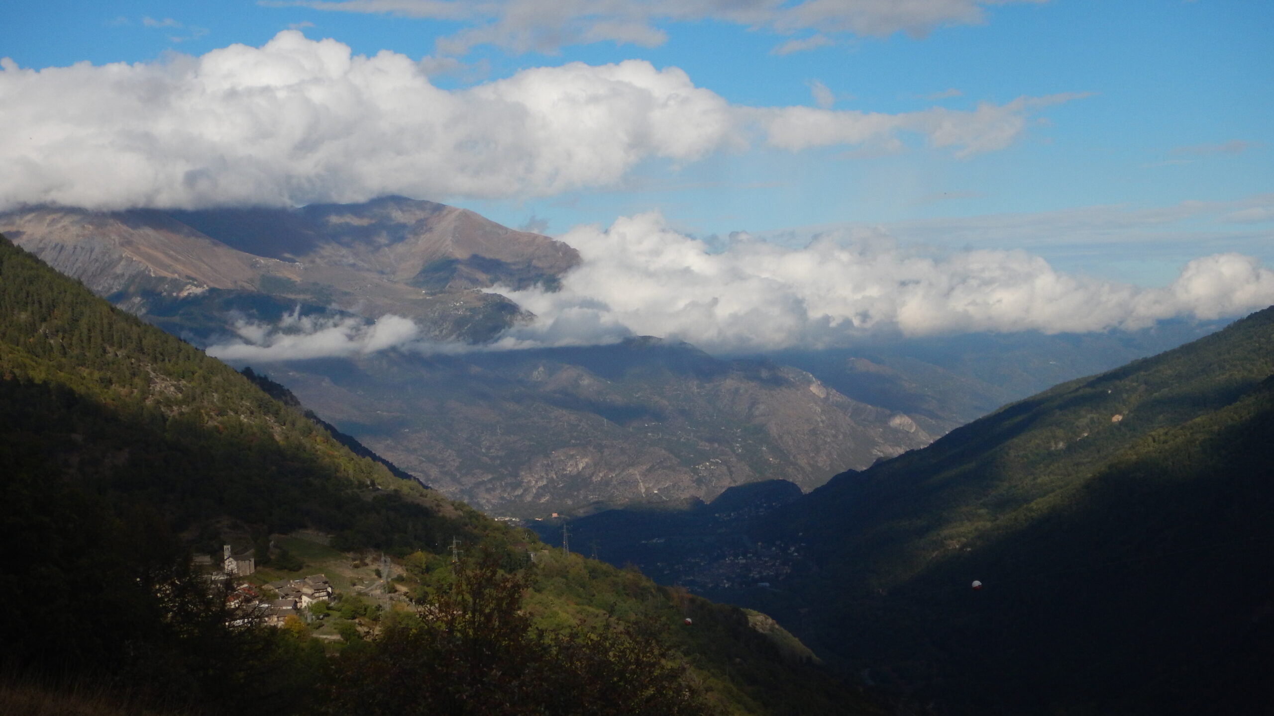
Avvicinamento
Poco prima di Eclause c'è una strada sterrata sulla destra che porta alla borgata Combes.
Descrizione
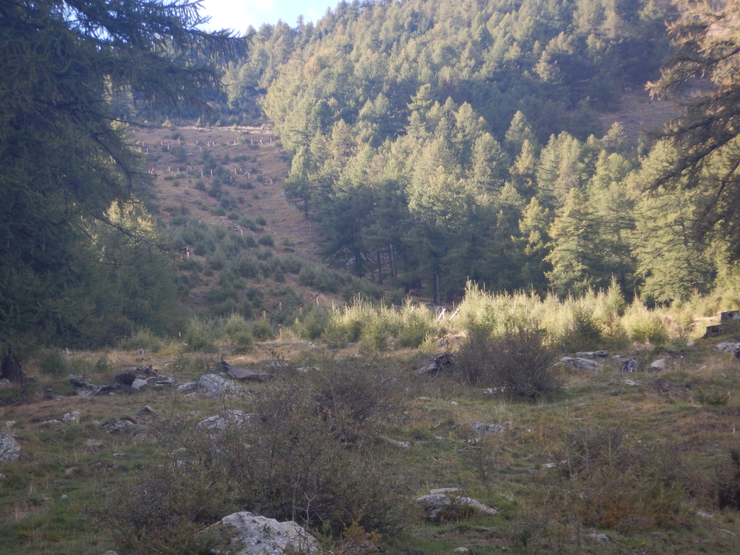
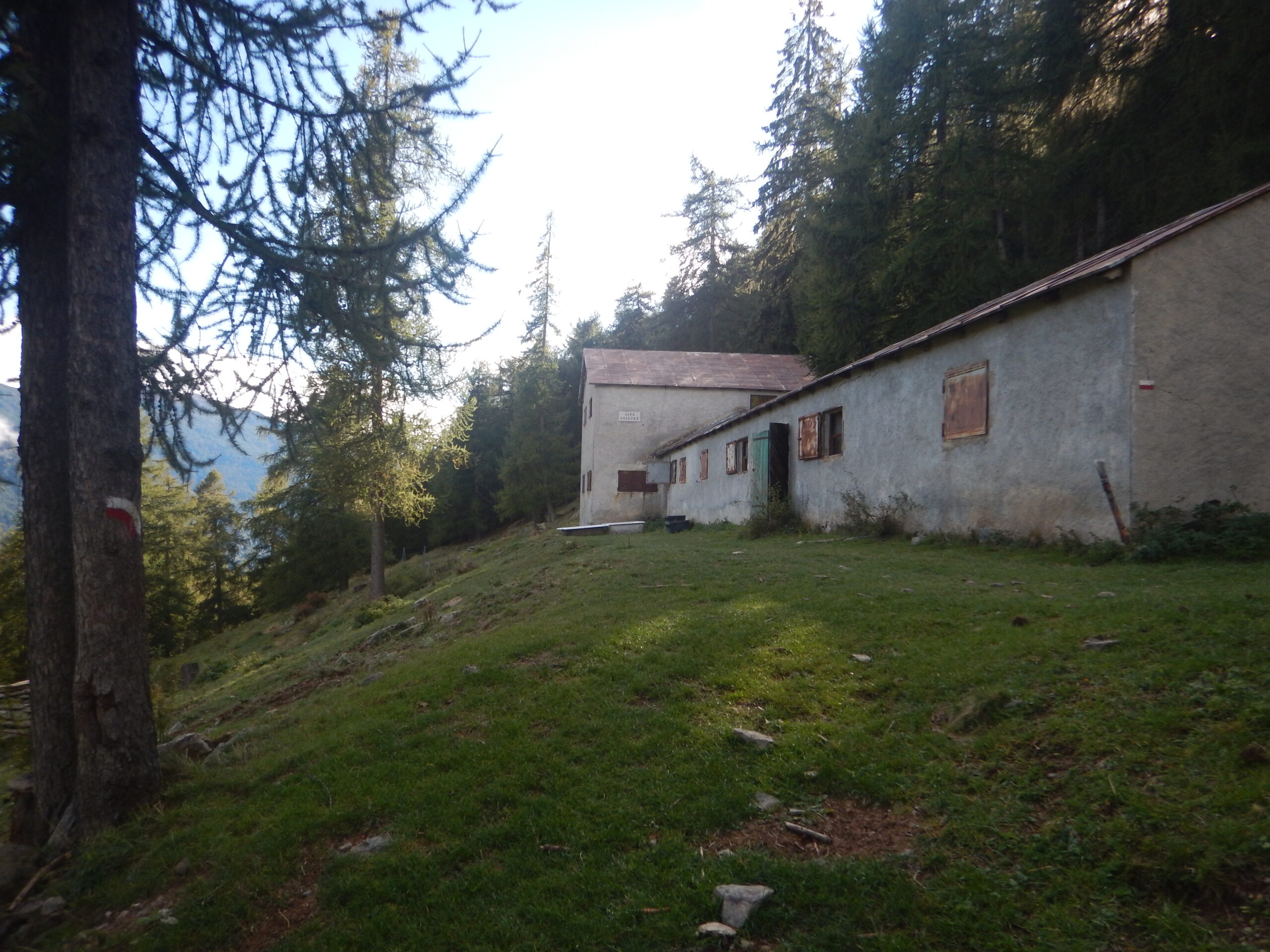
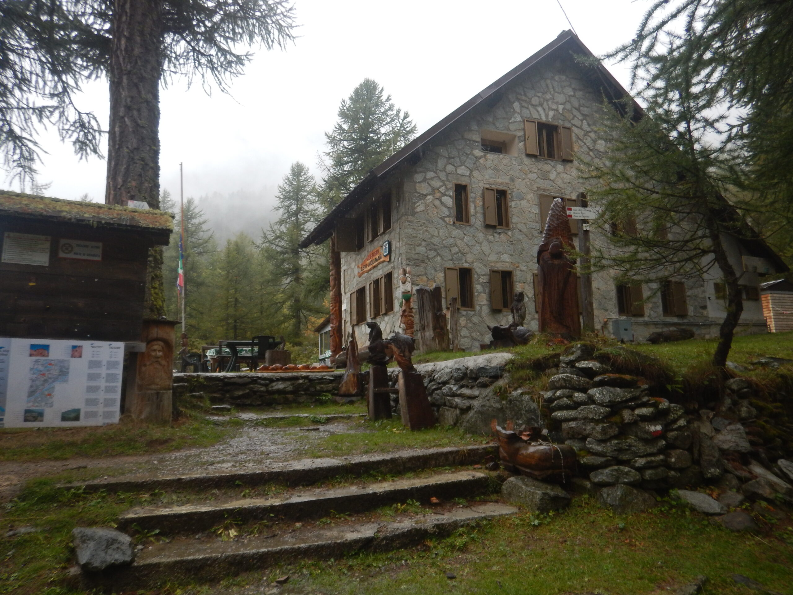
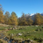
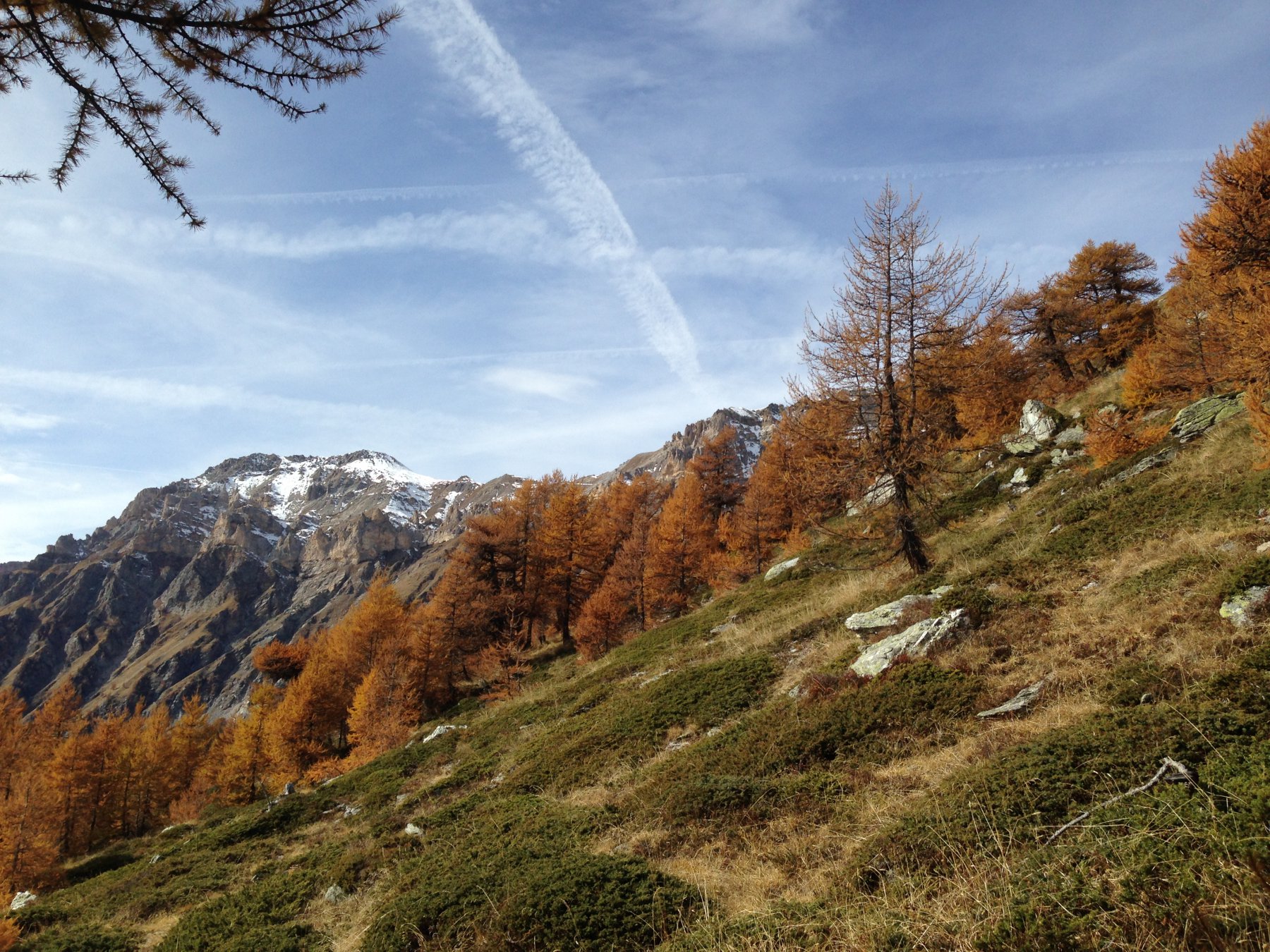
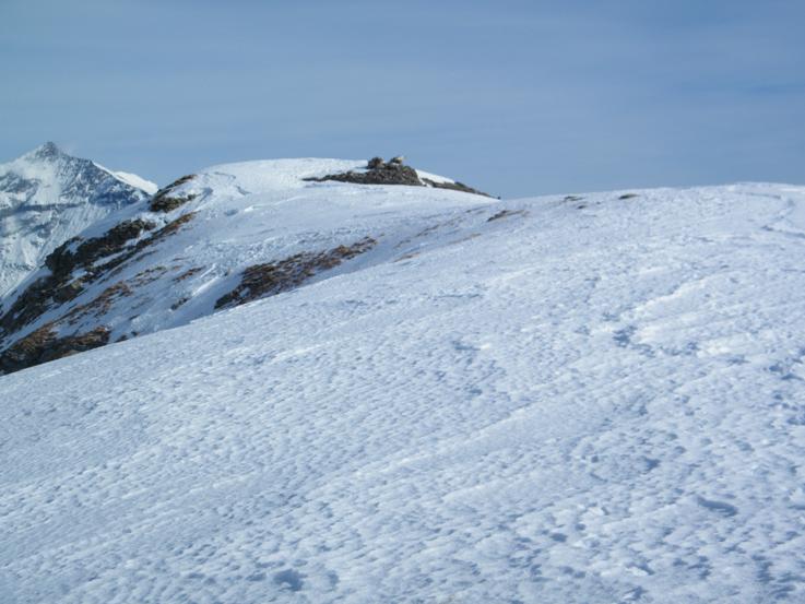
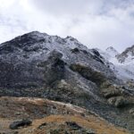
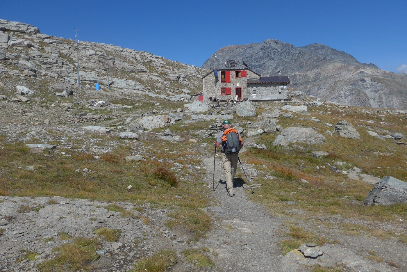
Dalla fontana si passa tra le case di pietra di Combes fino ad incrociare sulla sinistra l’inizio del sentiero 804. Usciti dalle case si sale a ripide salite percorrendo un tratto di mulattiera delimitato da sentieri di pietra. Più in alto si entra nel bosco e trascurate due deviazioni per Margaria Superiore si raggiunge l’Alpe Soullier. Da qui si percorre un pezzo di sterrata che conduce alla strada asfaltata per Grange della Valle. Si riprende il sentiero che segue un tubo dell’acqua fino a raggiungere la strada asfaltata per Grande della Valle di fronte ad uno slargo adibito a parcheggio. Seguendo la strada sterrata si attraversa il ponte sul torrente Galambra e prendendo la stradina sterrata a sinistra si passa davanti alla Colonia Alpina Viberti ed in pochi minuti si giunge al Rifugio Levi Molinari.
Il percorso fa parte di una tappa dell'itinerario Glorioso Rimpatrio dei Valdesi (GRV).
Una marcia di 250 km attraverso la Savoia, condotta in 12 giorni da un migliaio d'uomini guidati dal pastore valdese Henri Arnaud, che nell'agosto del 1689 si scontrarono contro le truppe francesi per difendere le proprie valli. Questa, in estrema sintesi, l'impresa del "Glorioso Rimpatrio" dei valdesi, che questo itinerario celebra e ripercorre.
I Valdesi discesero verso Giaglione per trattare il passaggio verso Chiomonte, ma ad attenderli trovarono le truppe sabaude del Conte Losa di Susa che, infliggendo parecchie perdite all'avanguardia Valdese, la costrinse a una ritirata lungo il vallone del Tiraculo. Si narra che la salita fosse talmente dura che gli ostaggi "imploravano di essere privati della vita piuttosto di soffrire tanto".
Alla sera i Valdesi, benché esausti, affrontarono le truppe francesi del Marchese di Larray (2500 uomini) che presidiavano l'unico ponte sulla Dora. Evitando il fuoco francese buttandosi a terra, riuscirono a forzare il ponte e dopo averlo distrutto si inerpicarono sulle pendici del Genevris disperdendosi tra Seu e Monfol. Questa terribile ed estenuante tappa fu poi ricordata da Arnaud come "le jour très memorable".
Il percorso inoltre fa anche parte del "Giro del Monte Thabor" (tappa n.4)
- Cartografia:
- Fraternali 1:25000 Alta Valle di Susa
Nelle vicinanze Mappa
Itinerari
26/10/2025 TO, Salbertrand D+ 743 m E Varie
Chabriere (Monte) da Selle Marre, anello per Grange della Valle
 1Km
1Km
13/11/2025 TO, Salbertrand D+ 1299 m E Sud
Casses Blanches da Eclause
 1.2Km
1.2Km
11/11/2007 TO, Salbertrand D+ 1410 m EE Varie
Galambra (Passo) da Selle Marre, anello per il Monte Chabriere e Casses Blanches
1.3Km
15/10/2023 TO, Exilles D+ 1100 m E Varie
Chabriere (Monte) da San Colombano per Grange della Valle
 2Km
2Km
01/11/2015 TO, Exilles D+ 1135 m E Sud
Vallone (Cima del) da San Colombano per la dorsale sud
 2Km
2Km
19/09/2025 TO, Exilles D+ 1750 m EE/F Varie
Ambin (Rocca d’) da Grange della Valle per il Rifugio Vaccarone, anello
 2.3Km
2.3Km
22/10/2023 TO, Exilles D+ 900 m E Est
Monache (Cima delle) e quota 2637 m da Grange della Valle
 2.3Km
2.3Km
12/09/2021 TO, Exilles D+ 1200 m EE Tutte
Vaccarone Luigi (Rifugio) da Gange della Valle, anello per Passo Clopaca e Cima Quattro Denti
 2.3Km
2.3Km
03/08/2019 TO, Exilles D+ 1650 m EE Varie
Agnello (Punta dell’) da Grange della Valle per il Rifugio Vaccarone, anello
 2.3Km
2.3Km
19/09/2025 TO, Exilles D+ 1600 m EE Sud-Est
Gros Muttet da Grange della Valle per il Rifugio Vaccarone, anello
 2.3Km
2.3Km
Servizi
2.8Km
2.9Km
La Quadriglia Ristorante
Exilles
2.9Km
L’ultima stisa Ristorante
Exilles
3Km
Il Covo di nord ovest Ristorante
Salbertrand
3.1Km
Touplan Ristorante
Exilles
3.8Km
Arlaud Rifugio
Salbertrand
5.4Km
Casa Assietta Rifugio
Pragelato
7.2Km
Vaccarone Rifugio
Giaglione
8.4Km
L’itialette Ristorante
Pragelato
8.7Km