3.5Km
3.5Km
Note
 50m
2.9Km
3.8Km
3.8Km
3.8Km
3.8Km
3.8Km
3.8Km
4.5Km
4.5Km
50m
2.9Km
3.8Km
3.8Km
3.8Km
3.8Km
3.8Km
3.8Km
4.5Km
4.5Km
Ciclabilità 99% in discesa
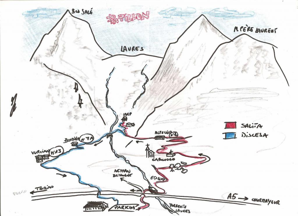
Avvicinamento
,.
Descrizione
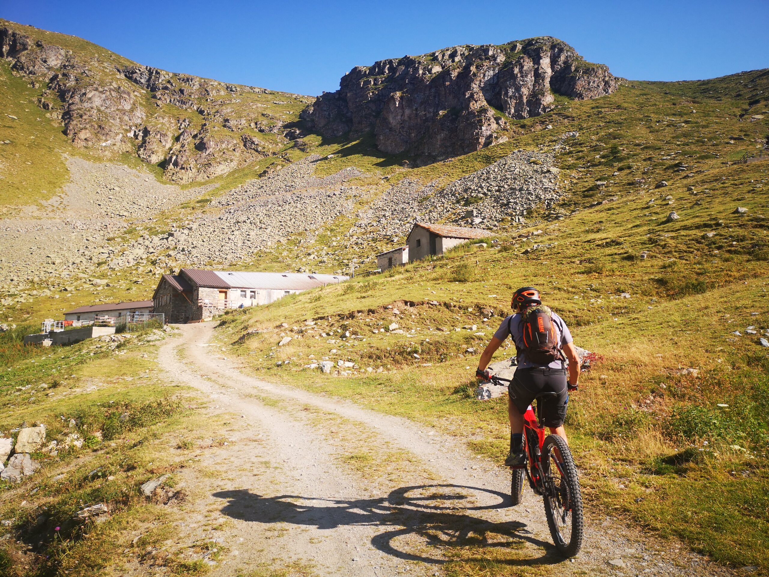
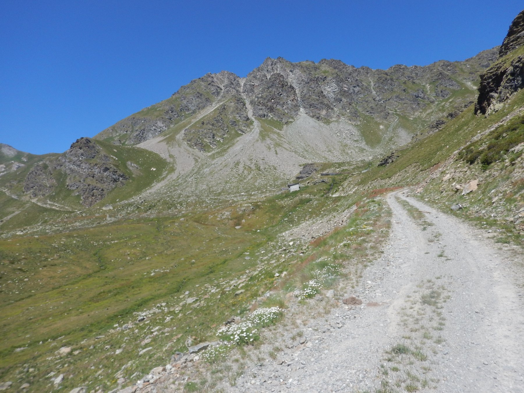
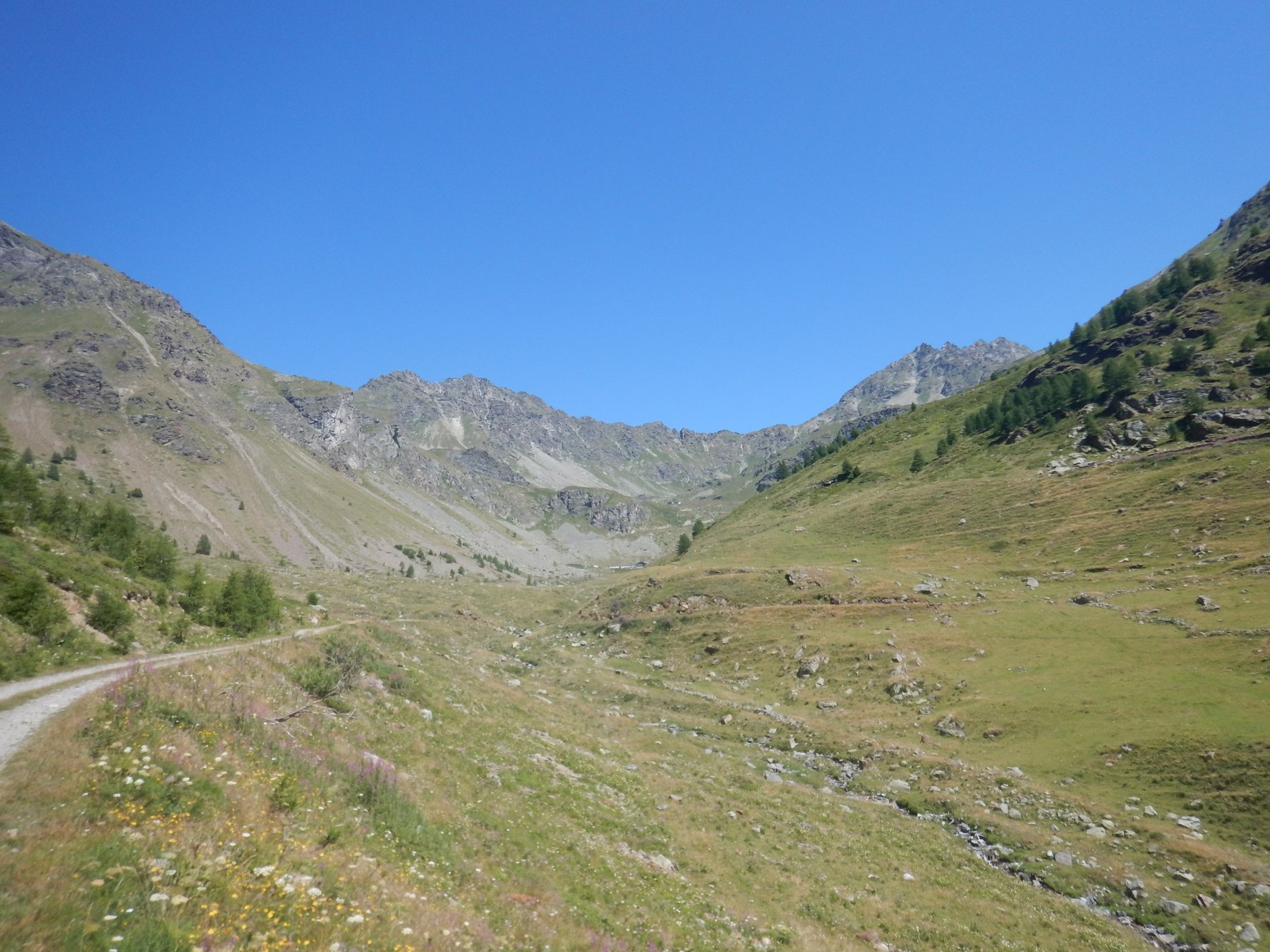
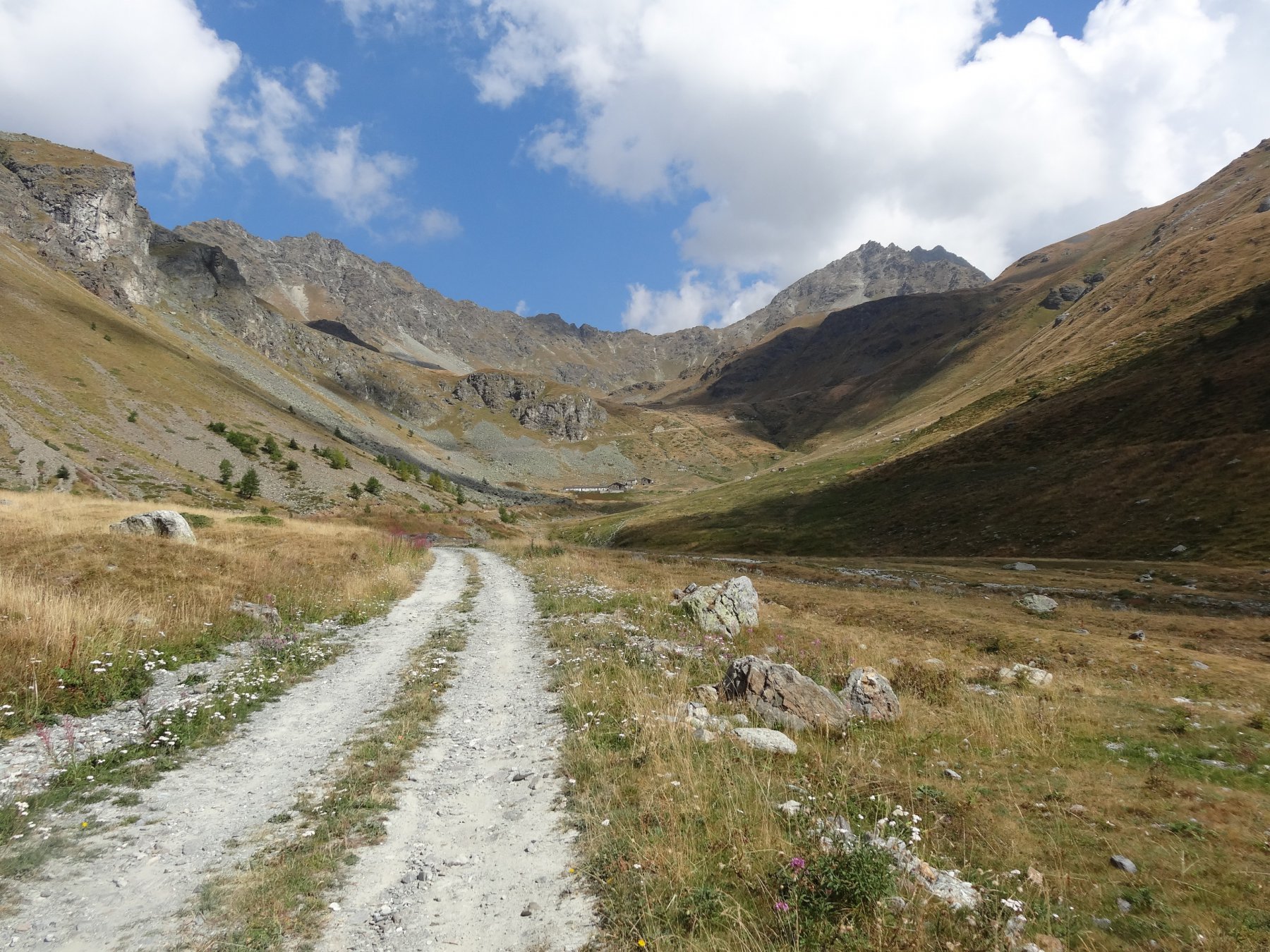
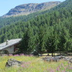
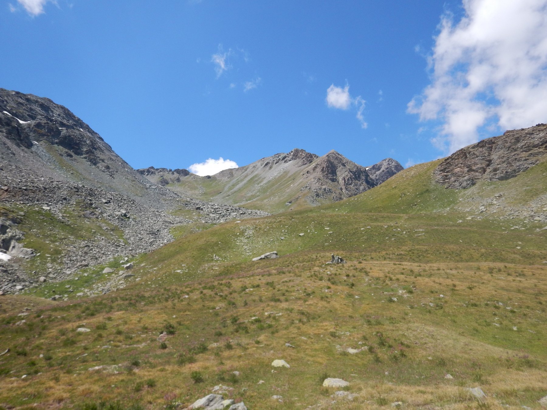
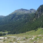
Lasciata l’auto a Fonteil 1426 m, si segue la strada sterrata che raggiunge l’Alpe Seyvaz 2181 m e che prosegue fino all’Alpe Valchourda 2392 m; qui la strada termina
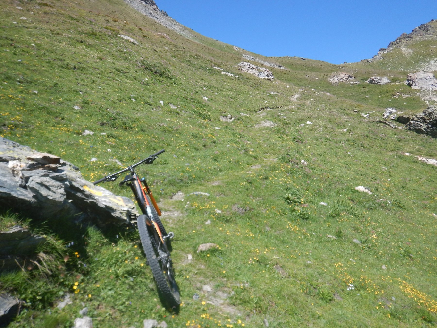
Seguire allora il sentiero in direzione ovest (segnavia “3” e “105”) che, pur avendo un fondo piuttosto uniforme, non permette a spesso di restare in sella.
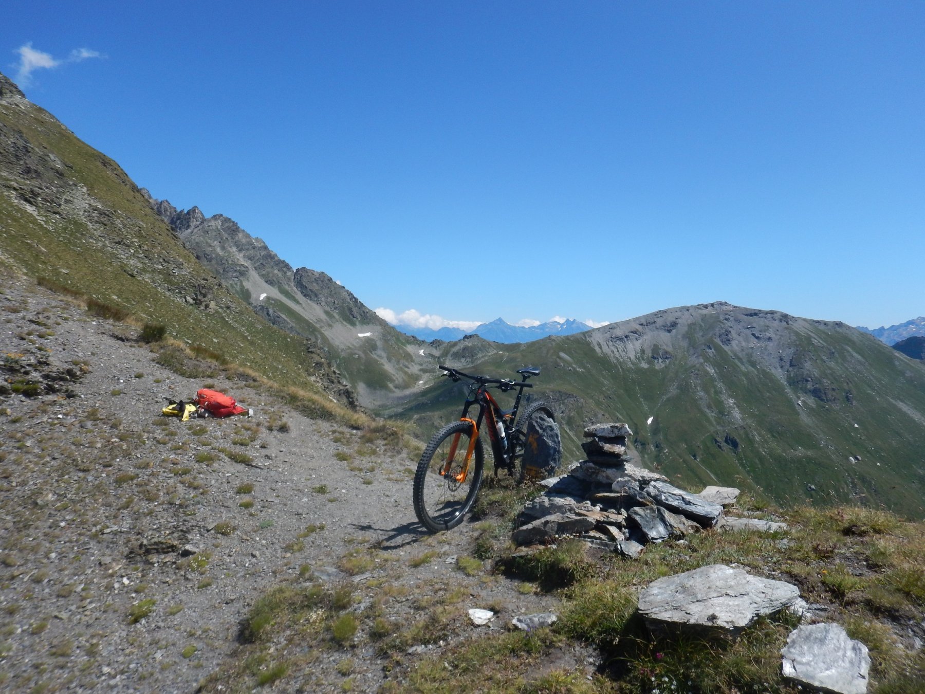
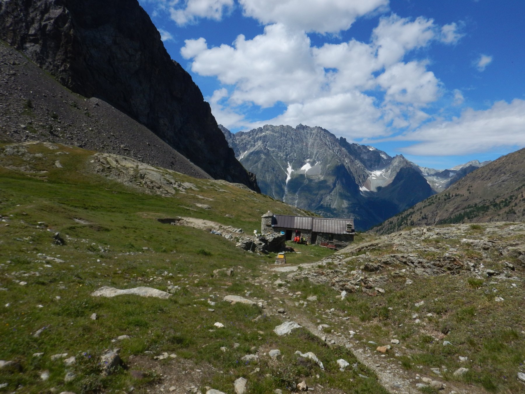
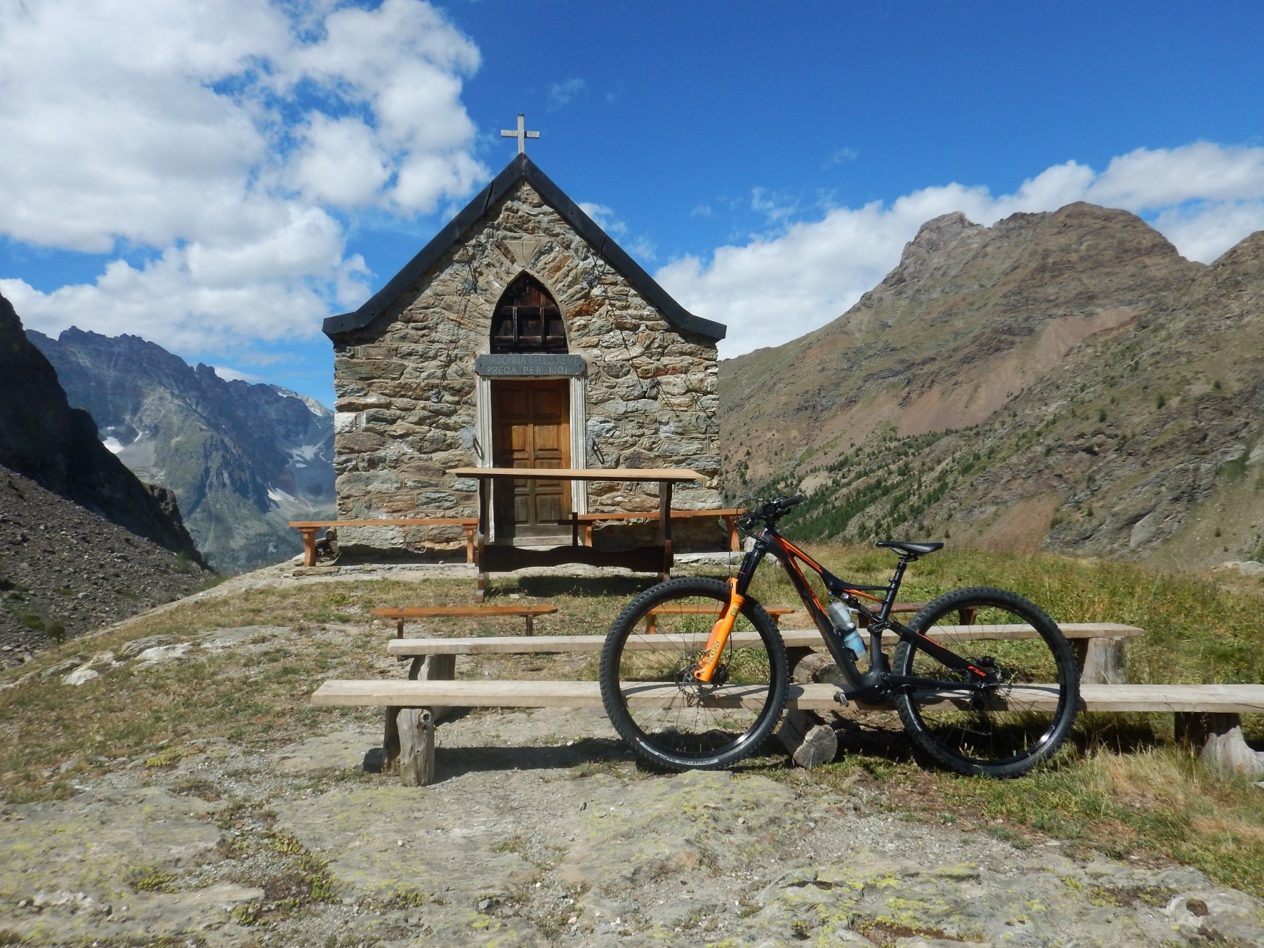
In 30 minuti si raggiunge il colle (2645m) e lo sguardo si apre sulla Valpelline.
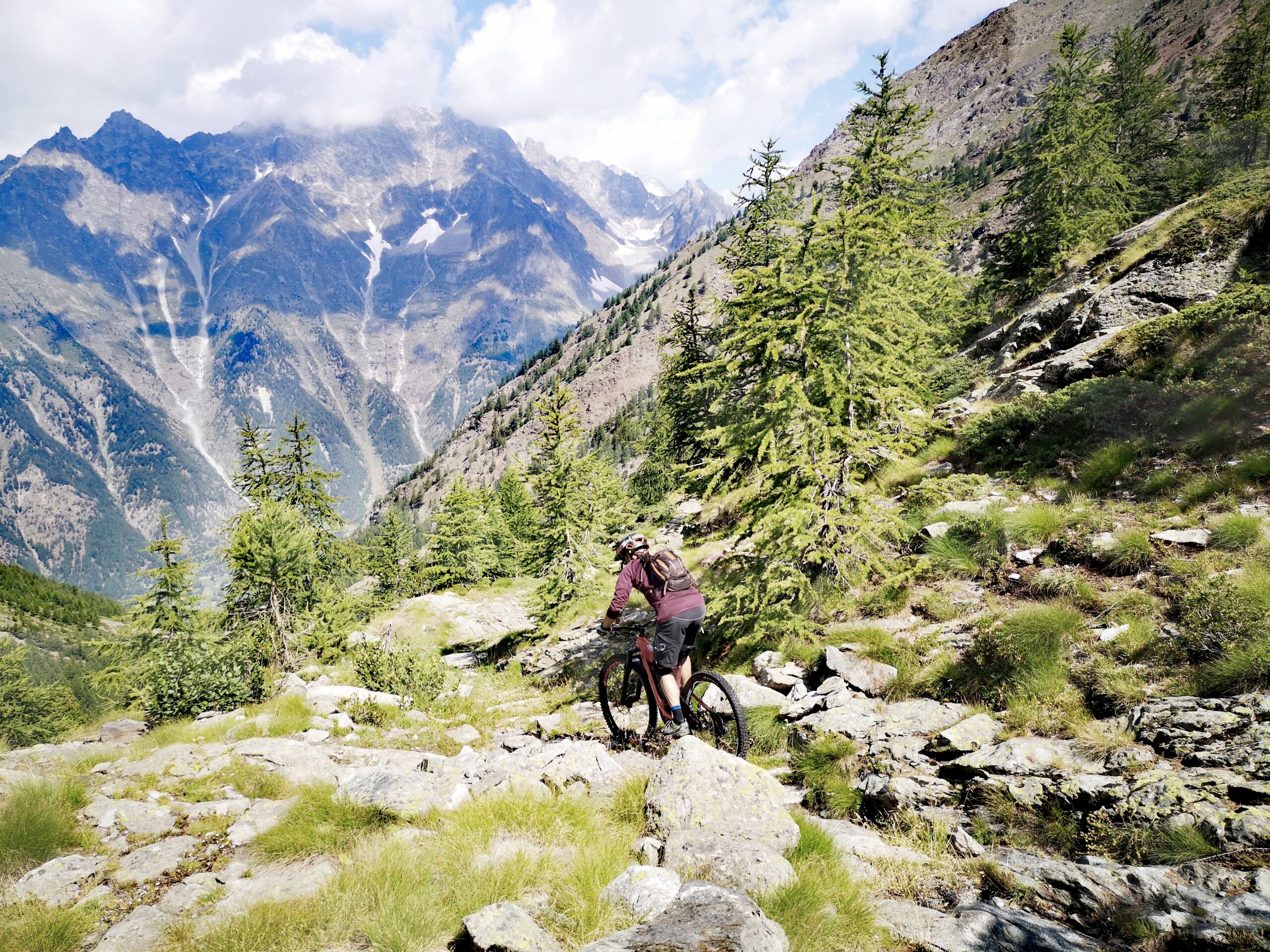
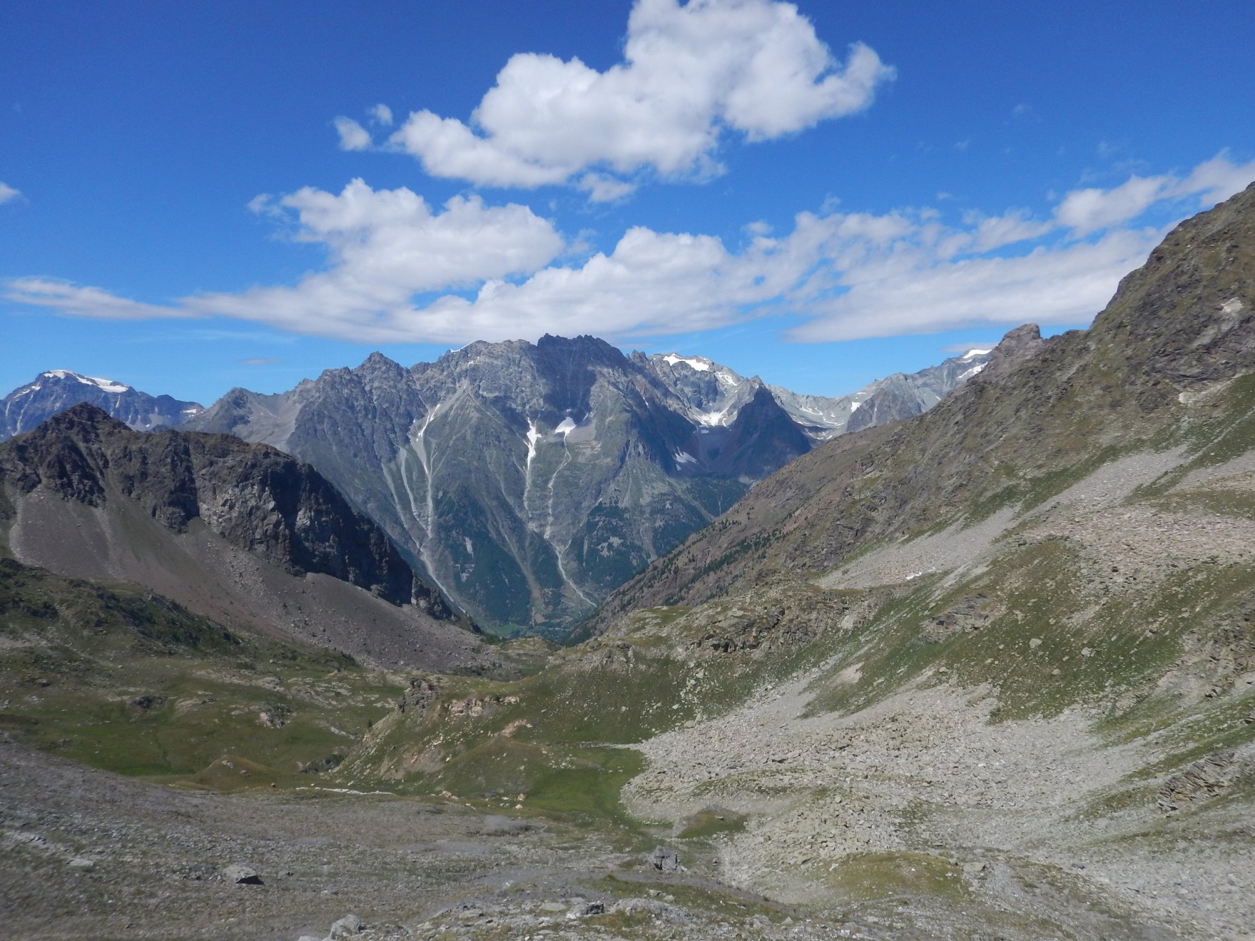
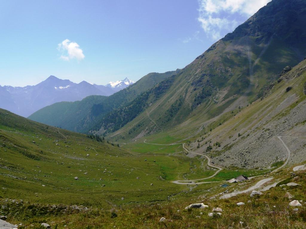
La ritorno si svolge sullo stesso itinerario, con la differenza che in discesa il sentiero è percorribile quasi interamente in sella, senza essere eccessivamente tecnico.
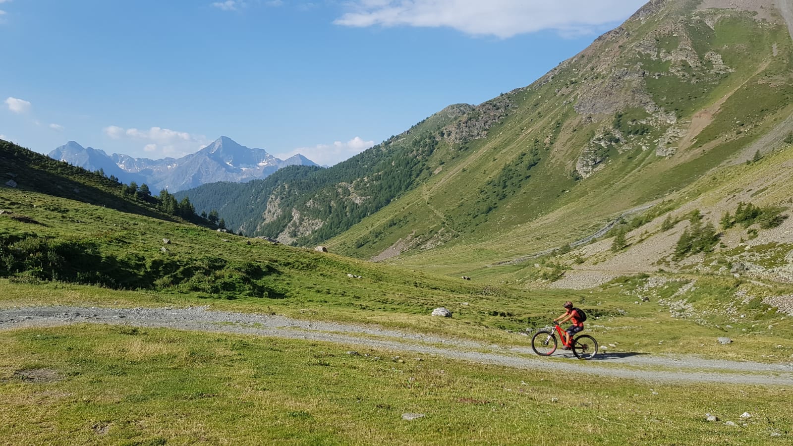
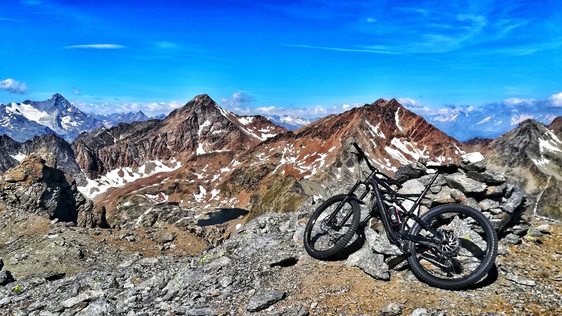
In alternativa a scendere fino alla chiesetta e poi prendere sentiero sempre 105 che sale al col de l ‘Arpeyssaou 2494 m (circa 30 min portage).
Discesa verso il bivacco Liee e seguire sentiero n.6 verso Thoules passando per Arpeyssaou ,Grand Verdzignolaz 1953 e raggiungere verdzignoletta 1386 m.
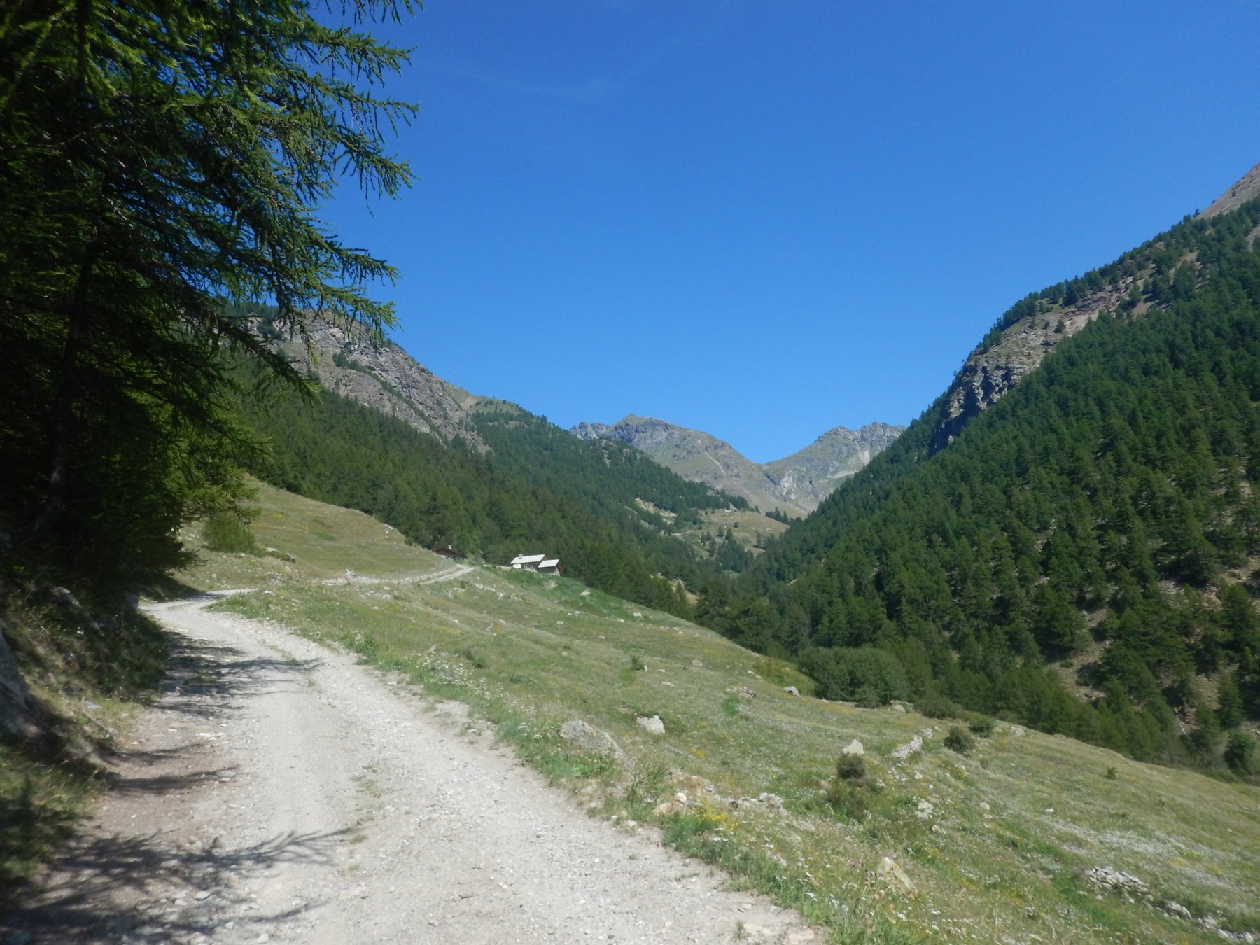
Da qui su sentiero num 7 discesa verso Thoules portarsi sul di Pompillard fino a Quart.
- Cartografia:
- IGC Cervino Mattherhorn Monterosa
Nelle vicinanze Mappa
Itinerari
28/10/2017 AO, Quart D+ 950 m OC, BC+, S3 Sud
Cornet (Col) da Avisod, giro della Croce di Fana
 50m
50m
10/09/2016 AO, Quart D+ 1445 m BC+, OC+ Varie
Grand Pays da Avion, anello
 2.9Km
2.9Km
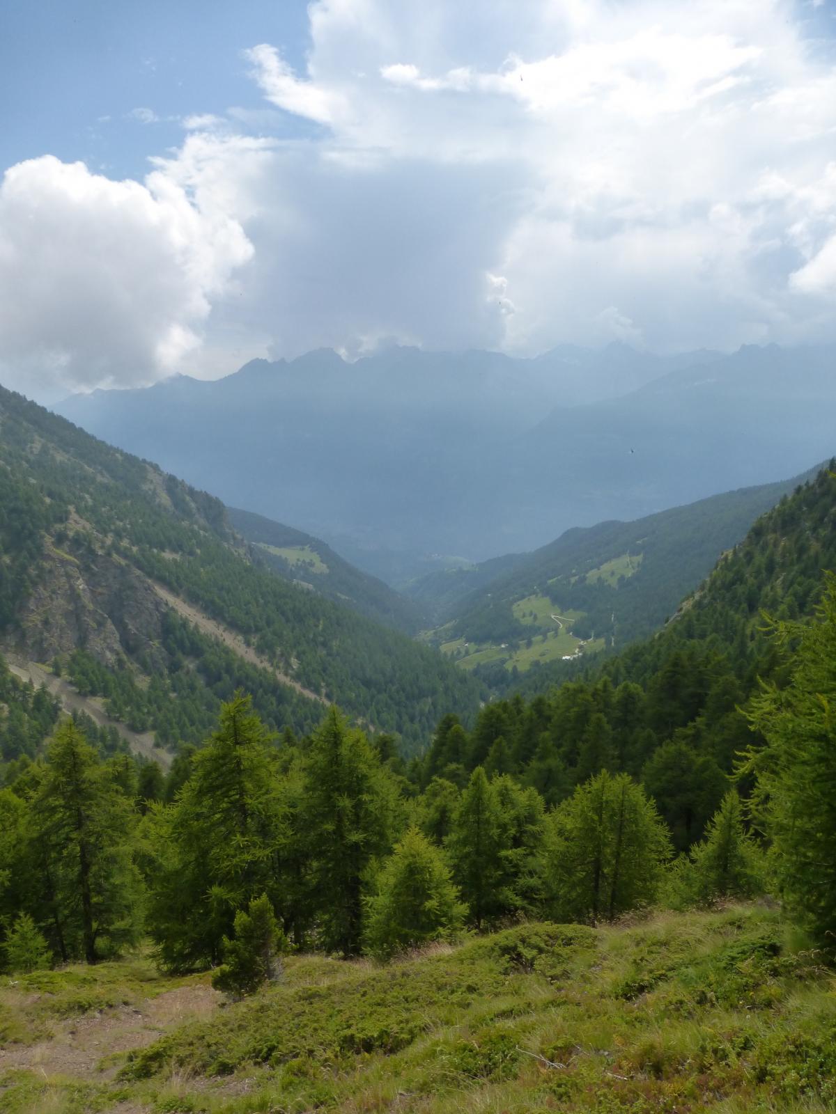
06/06/2013 AO, Brissogne D+ 600 m BC, BC, S1 Nord
Laures (Vallone di) da Brissogne, giro
 3.8Km
3.8Km
17/07/2025 AO, Saint-Marcel D+ 1900 m MC+, BC+, S1 Nord
Petite Chaux (Alpe) e Lago Layet da Saint Marcel per il Vallone di Saint Marcel
 3.8Km
3.8Km
14/08/2021 AO, Saint-Marcel D+ 2300 m BC+, BC, S2 Tutte
Saint Marcel (Colle di) da Saint Marcel, giro per Gimillan
 3.8Km
3.8Km
26/10/2018 AO, Saint-Marcel D+ 1566 m BC, OC, S3 Varie
Corquet (Mont) da Saint Marcel, giro
 3.8Km
3.8Km
16/08/2019 AO, Saint-Marcel D+ 1800 m BC+, OC+, S3 Nord-Est
Leppe (Colle di) da Saint Marcel
 3.8Km
3.8Km
16/06/2013 AO, Brissogne D+ 1200 m MC, OC, S1 Nord
Brissogne – Pollein (Collina di) da Brissogne
 3.8Km
3.8Km
03/11/2013 AO, Nus D+ 1280 m MC, BC, S1 Sud
Bornes (Col de) da Nus
 4.5Km
4.5Km
18/07/2025 AO, Nus D+ 1800 m MC, BC, S1 Sud
Magià (Rifugio) da Nus per la Valle di Saint Barthelemy
 4.5Km
4.5Km