2.7Km
2.7Km

Note
 2.9Km
2.9Km
3.1Km
3.2Km
3.2Km
3.9Km
3.9Km
4.8Km
4.8Km
2.9Km
2.9Km
3.1Km
3.2Km
3.2Km
3.9Km
3.9Km
4.8Km
4.8Km
2.7Km
3Km
3.8Km
4.5Km
5.9Km
6.8Km
7.2Km
7.8Km
8.6Km
9.7Km
Bell'itinerario che ha gran parte della salita in comune con il Colle di Saint Barthelemy. L'anello completo è di gran soddisfazione, ma richiede un'ottima tecnica di discesa.
SALITA: asfalto 10% sterrato 80%, sentiero 10% Ciclabilità 95%
DISCESA per l'itinerario di salita: CICLABILITA' 99%
DISCESA per anello completo: sentiero 45%, sterrato 40% asfalto 15% CICLABILITA' 90%
Descrizione
SALITA: asfalto 10% sterrato 80%, sentiero 10% Ciclabilità 95%
DISCESA per l'itinerario di salita: CICLABILITA' 99%
DISCESA per anello completo: sentiero 45%, sterrato 40% asfalto 15% CICLABILITA' 90%
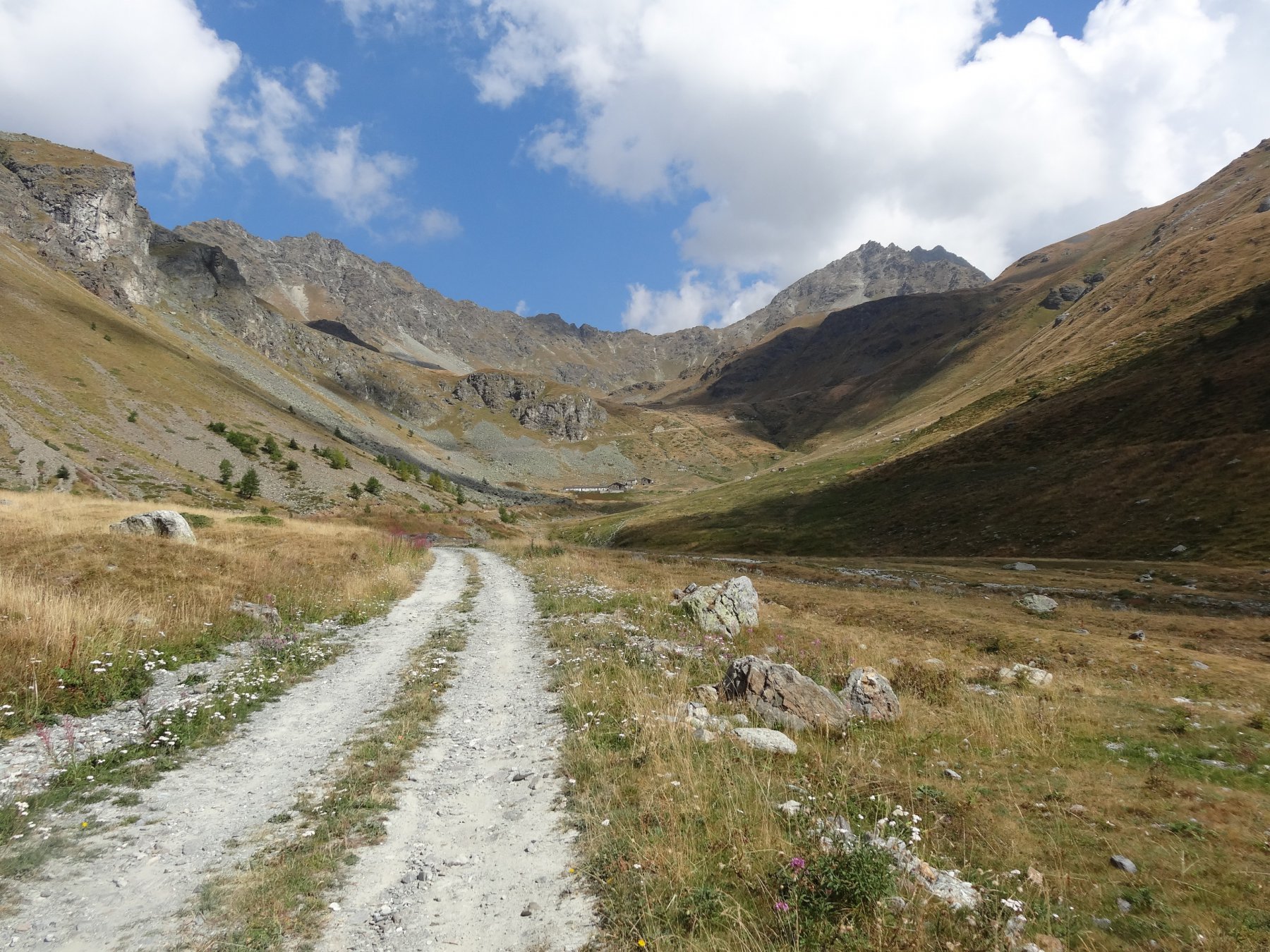
Salita: da Avion si sale verso Trois Villes, su asfalto, incontrando lo sterrato per Seyvaz e Valchourda in località Fonteil 1423m (segnavia 3,4 e 5). Si tiene subito la sx ad un bivio, si affrontano due tornanti entrando nel bosco nel vallone di Saint Barthelemy. Si segue la strada principale fino agli alpeggi Clavel, Seyvaz e Valchourda 2392m.
Dai caseggiati, si abbandona la traccia per il colle di Saint Barthelemy, seguendo i segnavia 4 e 105, che salgono con una rampa non ciclabile alle spalle della stalla, fino ad una sorta di cengione pascolivo, che conduce in traverso verso sud-est al Col de Lechy 2585m (ciclabilità in salita Valchourda – colle 60%).
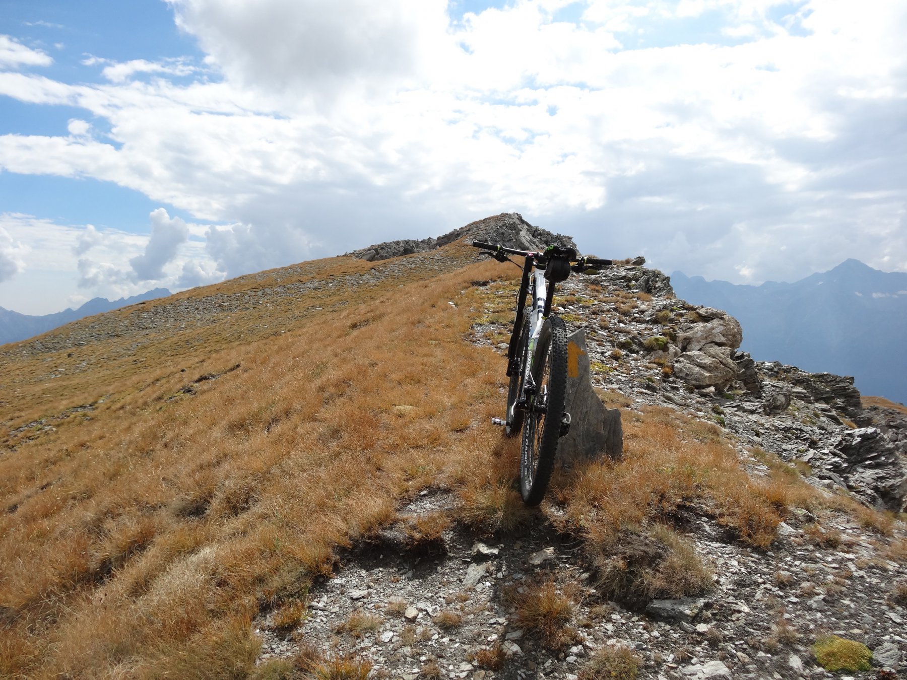
Si risale il crestone nord del Gran Pays, erboso e di fine detrito, riuscendo in breve in cima: panorama bellissimo (si riesce anche a pedalare un po’).
La disecsa dalla cima al colle è interamente in sella, restando il più possibile in cresta. Dal colle si può facilmente scendere lungo il percorso di salita (ciclabilità 99%), oppure buttarsi nel vallone verso est: si segue il sentiero che scende subito ripido tra i pascoli, puntando all’alpe Lechy 2299m, raggiunta con un magnifico single track finale. Dall’alpe si scende il pianoro pascolivo a valle, seguendo tracce di bestiame, portandosi al pianoro verso dx, sotto un testone erboso detritico. Con traverso non ciclabile si taglia verso dx fino a raggiungere il sentiero (marcato in giallo e rosso) nei pressi di un caseggiato diruto. Il sentiero diventa ripido ma sempre ciclabile (non ci sono pietroni, ma la pendenza è notevole), affrontando alcuni tornantini esposti. In breve, sempre in traverso verso dx, si raggiunge una monorotaia in costruzione: se ne segue il tracciato, raggiungendo la sterrata che conduce a Fontin. Le difficoltà sono terminate: la si prende verso sx, e con picchiata si arriva alla sterrata principale del vallone di Vessona. Andando a dx, in costante discesa, si raggiungono le borgate di brevaz e Les Rencores. Dopo un tornante, si confluisce sull’asfalto, sempre in discesa, raggiungendo Arlod e Effraz. Ancora asfalto in discesa, si oltrepassa un ponte su una forra, un falsopiano, e in breve si chiude l’anello.
- Cartografia:
- Comunità Montana Mont Emilius - 1:25000
Nelle vicinanze Mappa
Itinerari
29/07/2020 AO, Quart D+ 1219 m BC+, OC+, S1 Sud
Saint Barthelemy (Colle di) da Fonteil, giro per il Col de l’Arpeyssaou
 2.9Km
2.9Km
28/10/2017 AO, Quart D+ 950 m OC, BC+, S3 Sud
Cornet (Col) da Avisod, giro della Croce di Fana
 2.9Km
2.9Km
27/09/2013 AO, Nus D+ 1000 m OC+, TC Varie
Chaleby (Col) da Lignan, giro
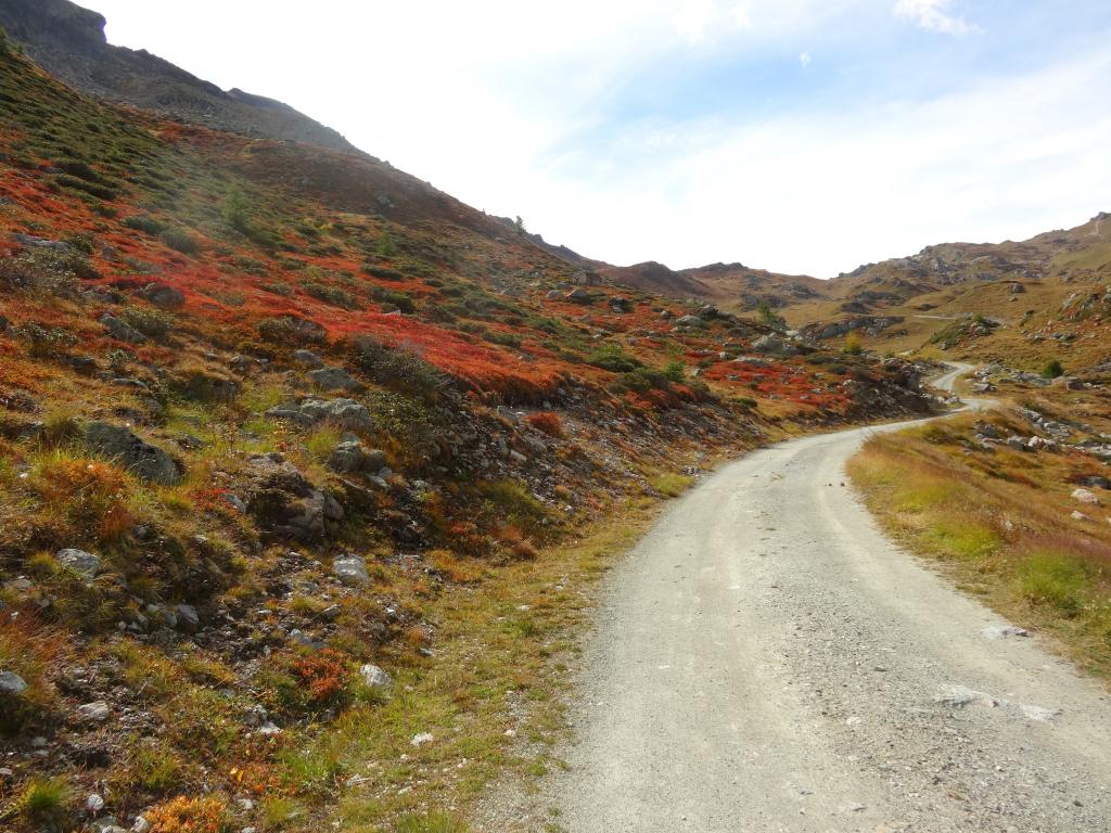 3.1Km
3.1Km
18/10/2025 AO, Nus D+ 1342 m BC+, OC+, S4 Varie
Cuney (Rifugio e Oratorio di) e Col Chaleby da Lignan, giro
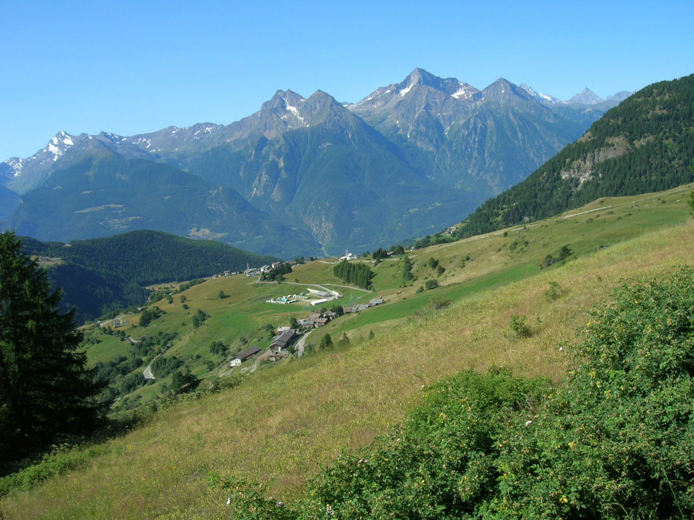 3.2Km
3.2Km
02/10/2019 AO, Nus D+ 2270 m BC+, OC+, S3 Varie
Vessona, Vaemà, Saint Barthelémy, Léché (Colli) da Lignan, giro del Mont Faroma
3.2Km
29/09/2021 AO, Nus D+ 1150 m BC+, BC+, S1 Varie
Morion (Mont) da Lignan, giro per Col du Salvè
 3.2Km
3.2Km
03/11/2013 AO, Nus D+ 1280 m MC, BC, S1 Sud
Bornes (Col de) da Nus
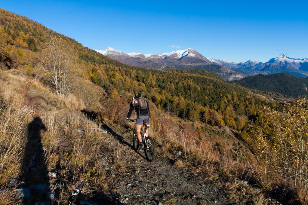 3.9Km
3.9Km
18/07/2025 AO, Nus D+ 1800 m MC, BC, S1 Sud
Magià (Rifugio) da Nus per la Valle di Saint Barthelemy
 3.9Km
3.9Km
14/08/2021 AO, Saint-Marcel D+ 2300 m BC+, BC, S2 Tutte
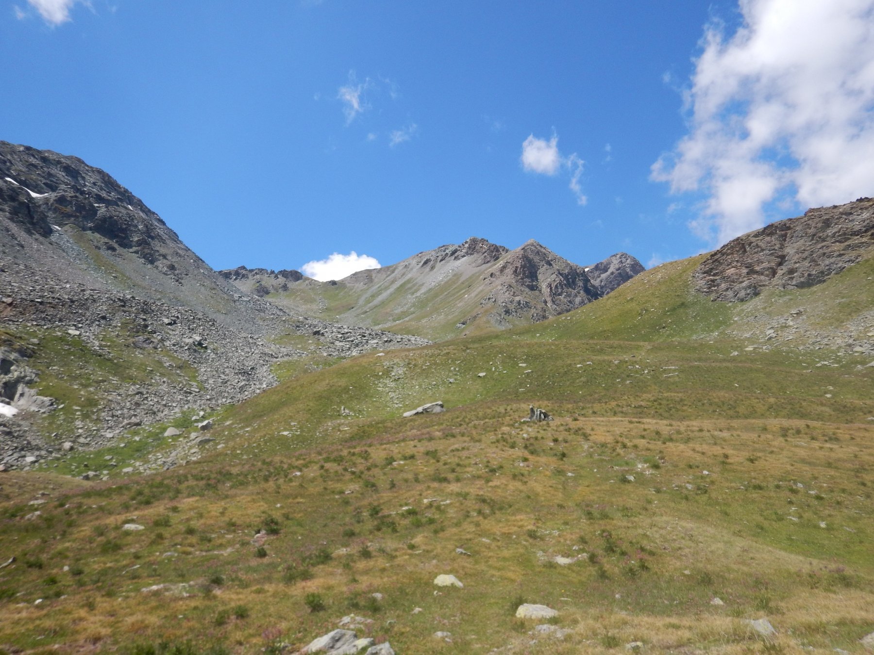
Saint Marcel (Colle di) da Saint Marcel, giro per Gimillan
 4.8Km
4.8Km
17/07/2025 AO, Saint-Marcel D+ 1900 m MC+, BC+, S1 Nord
Petite Chaux (Alpe) e Lago Layet da Saint Marcel per il Vallone di Saint Marcel
 4.8Km
4.8Km
Servizi
2.7Km
3Km
Saint Barthelemy Albergo
Verrayes
3.8Km
Maison Rosset Rifugio
Nus
4.5Km
Lou Tourbiillet B&B
Saint-Marcel
5.9Km
Chez Gaillard B&B
Fenis
6.8Km
Maison Tersiva B&B
Nus
7.2Km
del Diavolo Ristorante
Saint-Marcel
7.8Km
Tse fine e Marcel B&B
Verrayes
8.6Km
le laures Rifugio
Brissogne
9.7Km