2.9Km
2.9Km

Avvicinamento
 50m
50m
550m
550m
650m
650m
650m
1.4Km
2.9Km
50m
50m
550m
550m
650m
650m
650m
1.4Km
2.9Km
2.9Km
5.5Km
5.5Km
5.7Km
7.4Km
7.8Km
7.8Km
8Km
8.1Km
8.1Km
.
Descrizione
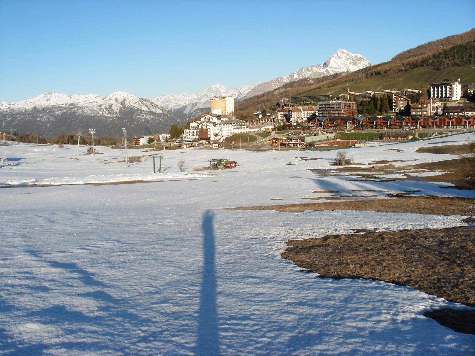
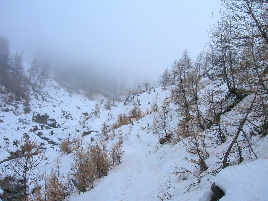
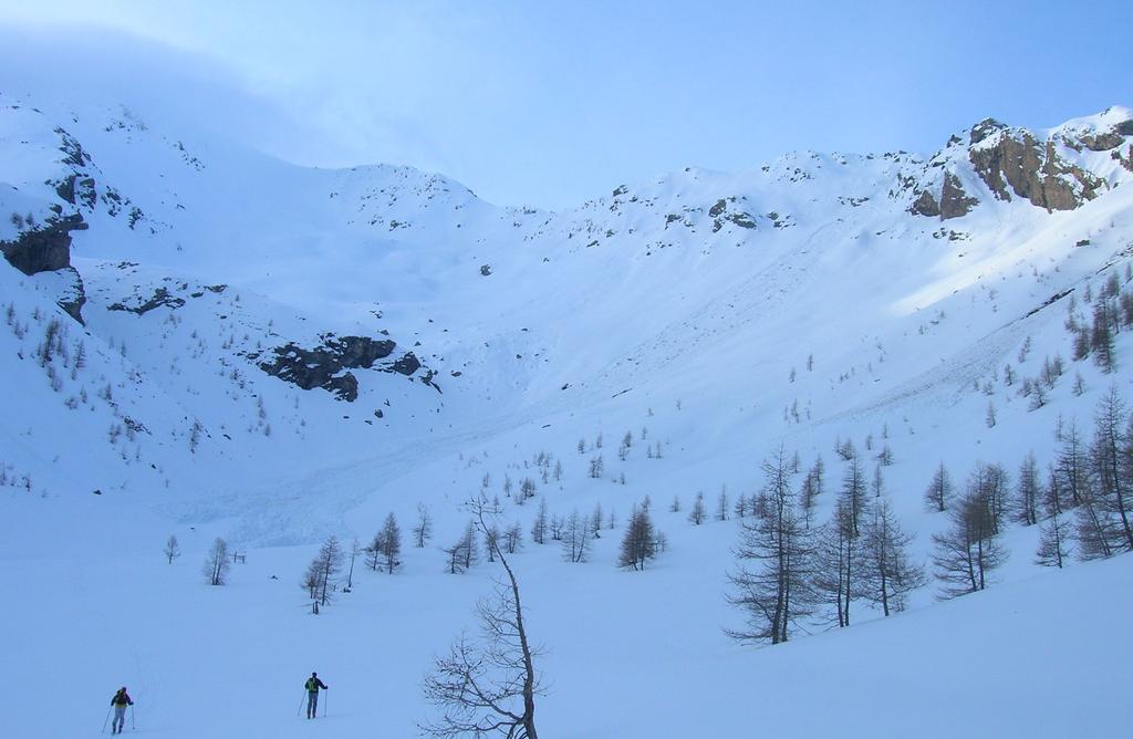
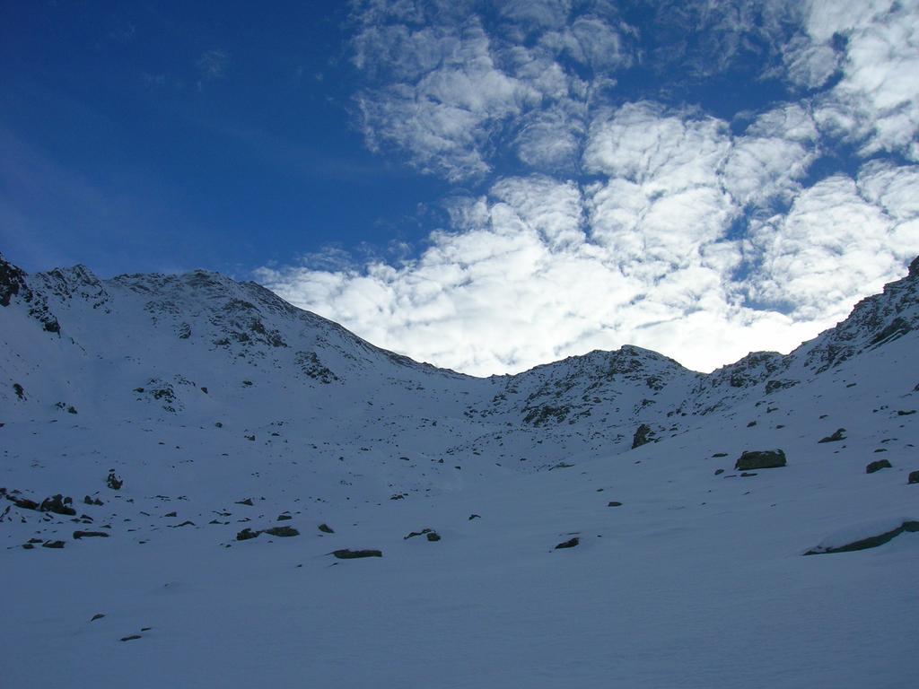
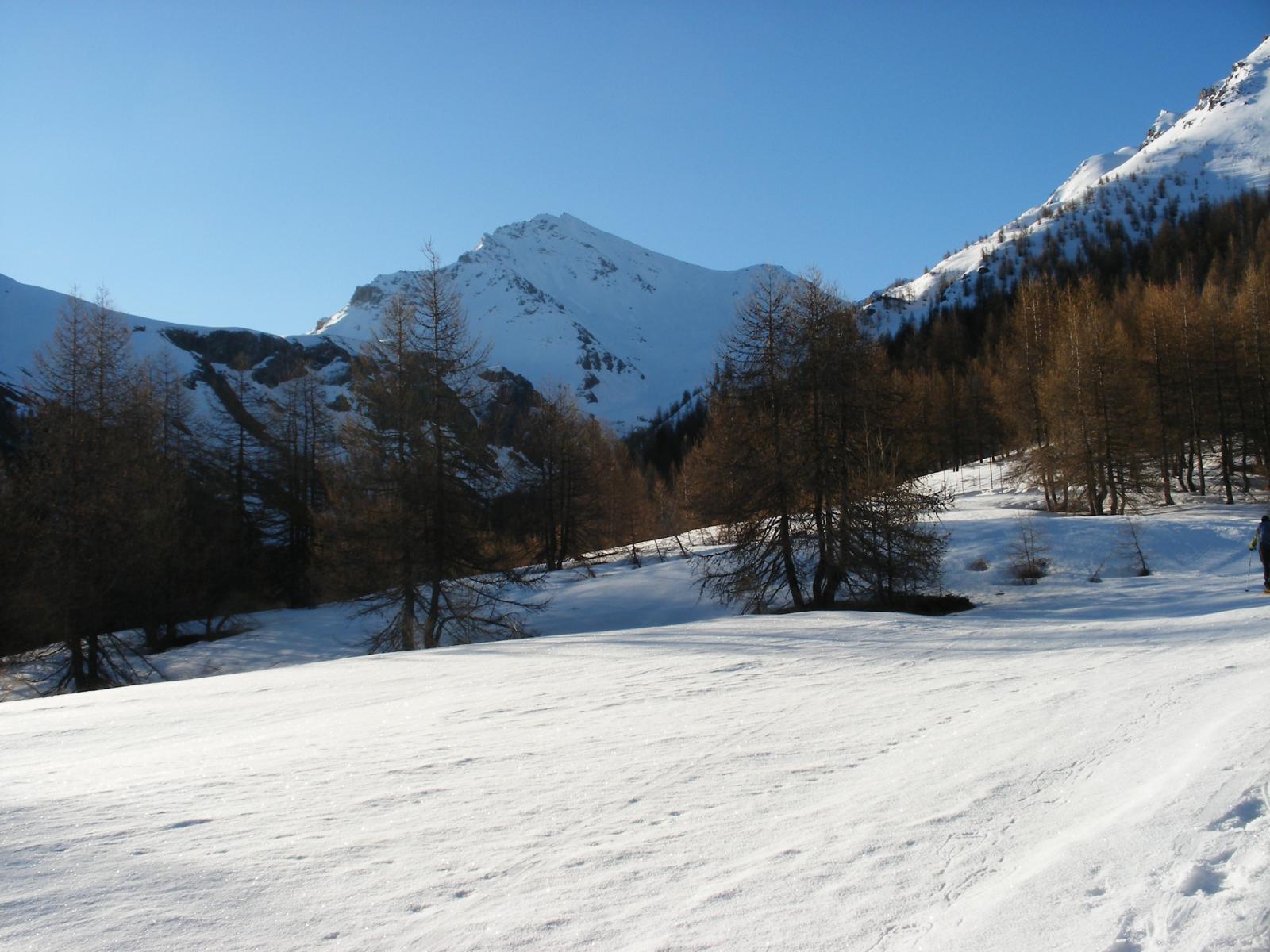
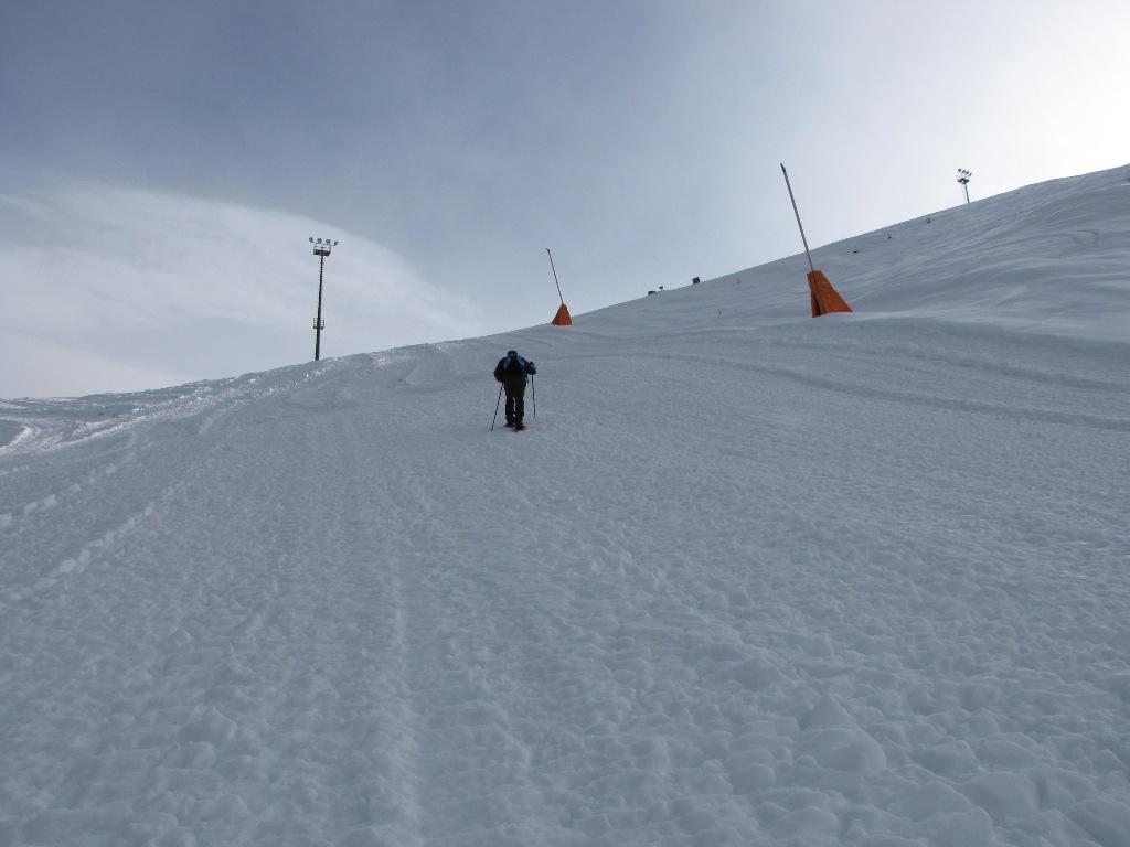
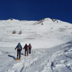
Dal parcheggio nei pressi del ricovero dei mezzi battipista, prendere la stradina sterrata che risale la valletta sulla sx idrografica del torrente Chisonetto. Raggiunta la diga Chisonetto, si sale per ampi pendii puntando al colle già ben visibile, a dx della cima e poco a sx dell’arrotondata sommità del Monte Sotto Rognosa.
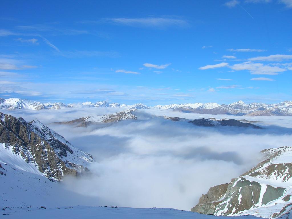
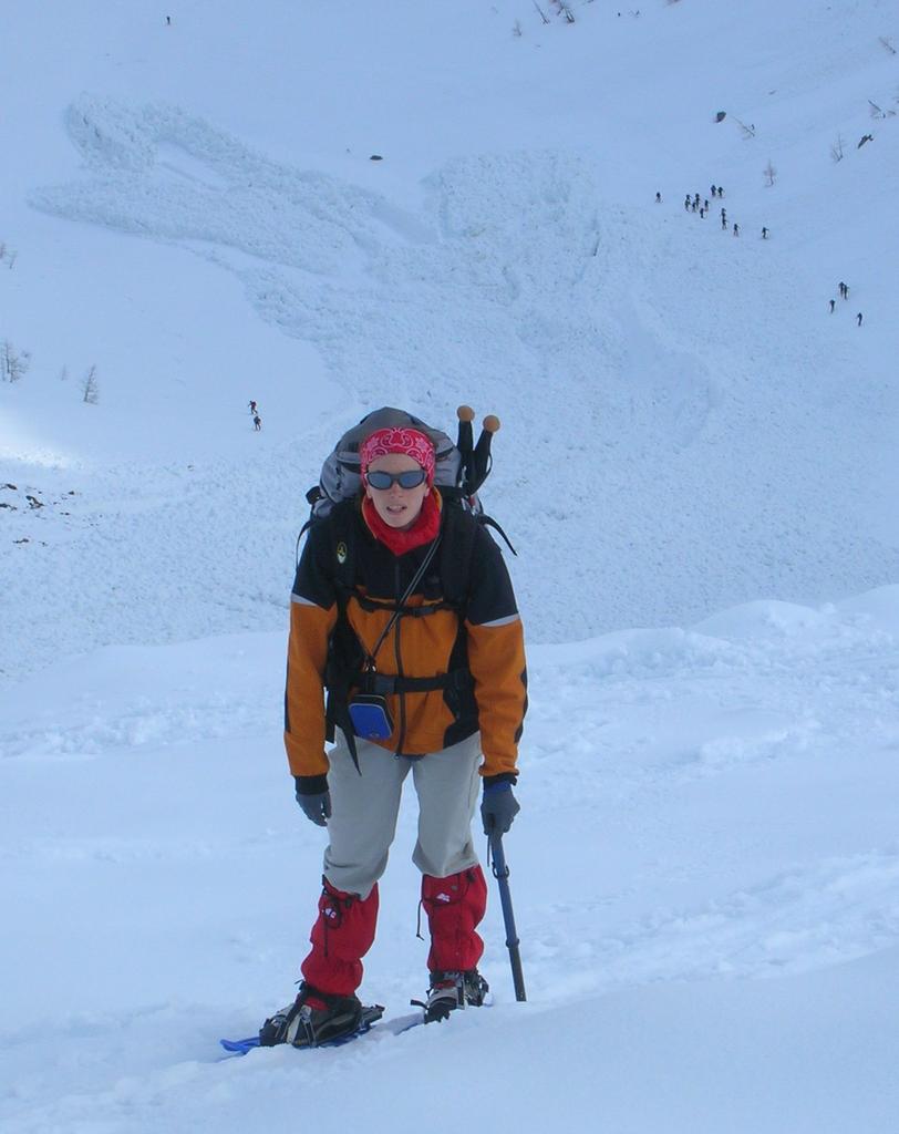
Il pendio di accesso al colle è piuttosto ripido e, soprattutto per l’uscita sono necessari i ramponi in caso di neve dura.
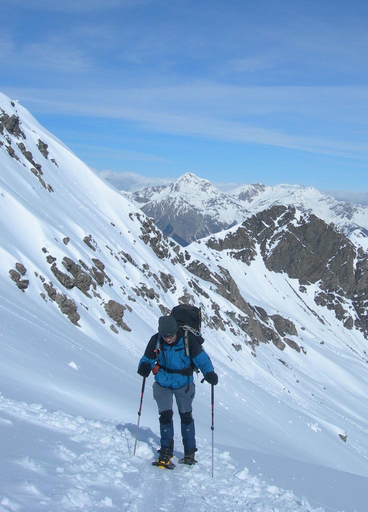
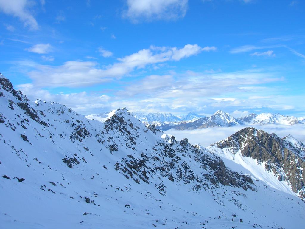
Dal colle si volge quindi a sx e si risale l’ampio dorsalone fino in vetta (ripido ma meno della salita al colle).
Discesa per l’itinerario di salita.
- Cartografia:
- IGC n°1 - Valli di Susa, Chisone e Germanasca
Nelle vicinanze Mappa
Itinerari
13/02/2021 TO, Sestriere D+ 182 m MR Sud-Est
Rotta (Monte) da Sestriere
 50m
50m
25/11/2012 TO, Sestriere D+ 1250 m ORA, PD Nord-Ovest
Rognosa del Sestriere (Punta) da Sestriere per il Canalone NO
 50m
50m
22/04/2006 TO, Sestriere D+ 270 m MR Nord-Ovest
Alpette (Monte) da Sestriere
550m
23/04/2015 TO, Sestriere D+ 800 m BR Nord-Ovest
Querellet (Monte) e Monte Sises da Sestriere, anello per Bessen Haut
 550m
550m
13/12/2020 TO, Sestriere D+ 623 m MR Nord-Ovest
Sises (Monte) da Sestriere
 550m
550m
05/01/2019 TO, Sestriere D+ 513 m MR Sud-Ovest
Aigle (Pitre de l’) da Sestriere per il Vallon Croux
 650m
650m
16/01/2021 TO, Sestriere D+ 493 m MR Sud
Treceira (Costa) da Sestriere per il Col Basset
 650m
650m
03/01/2023 TO, Sestriere D+ 670 m MR Sud
Fraiteve (Monte) da Sestriere
 650m
650m
21/04/2024 TO, Sestriere D+ 1000 m MR Sud-Ovest
Banchetta (Monte) da Sestriere Borgata
 1.4Km
1.4Km
04/12/2011 TO, Sauze di Cesana D+ 1283 m BRA, F Sud-Ovest
Rouit (Rocce del) da Bessen Haut
 2.9Km
2.9Km
Servizi
2.9Km
5.5Km
La capanna del sole Ristorante
Pragelato
5.5Km
Al Mulino Ristorante
Pragelato
5.7Km
Mulino di Laval Rifugio
Pragelato
7.4Km
Centro Ristorante
Cesana Torinese
7.8Km
La Fontana del Thures Rifugio
Cesana Torinese
7.8Km
Troncea Rifugio
Pragelato
8Km
L’Cantun B&B
Sauze D'oulx
8.1Km
orto del frate Ristorante
Sauze d'Oulx
8.1Km