200m
200m

Note
 0m
50m
50m
50m
800m
800m
1Km
1Km
0m
50m
50m
50m
800m
800m
1Km
1Km
200m
6.1Km
6.1Km
6.1Km
6.3Km
6.5Km
7.6Km
7.9Km
7.9Km
8.4Km
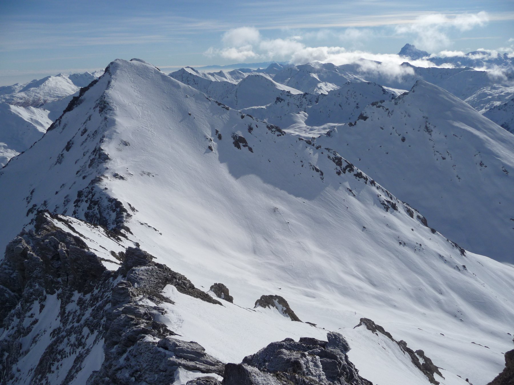
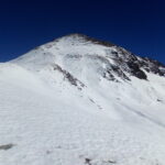
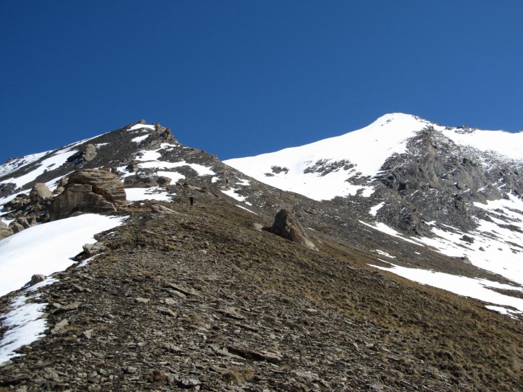
Ottima alternativa alla solita e trafficata Rognosa del Sestriere, molto più tecnica della Platasse e Giornalet, di sicura soddisfazione per chi cerca posti defilati e poco battuti. La vetta è bifida e presenta una cima Nord 3131 m e una Sud 3145 m, separate da un colletto 3110 m.
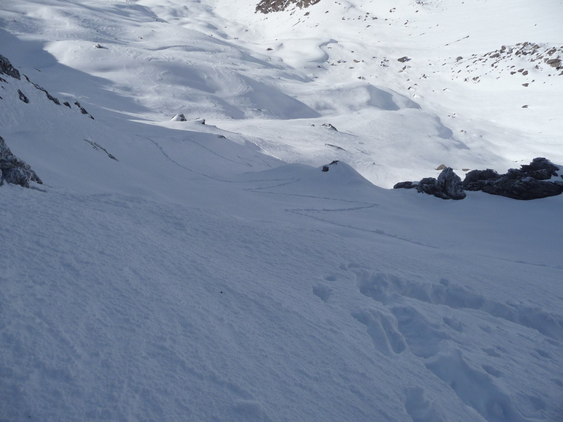
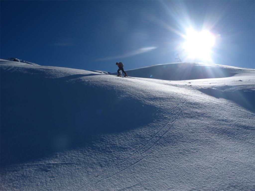
Itinerario da percorrere con neve assolutamente sicura, picca e ramponi utili sul pendio finale e indispensabili sul tratto di misto prima della vetta, in caso di neve dura. E' possibile partire anche da Bessé Bas 1748 m, salendo per prati fino alla sterrata oltre Bessé Haut.
Avvicinamento
Itinerario da percorrere con neve assolutamente sicura, picca e ramponi utili sul pendio finale e indispensabili sul tratto di misto prima della vetta, in caso di neve dura. E' possibile partire anche da Bessé Bas 1748 m, salendo per prati fino alla sterrata oltre Bessé Haut.
.
Descrizione
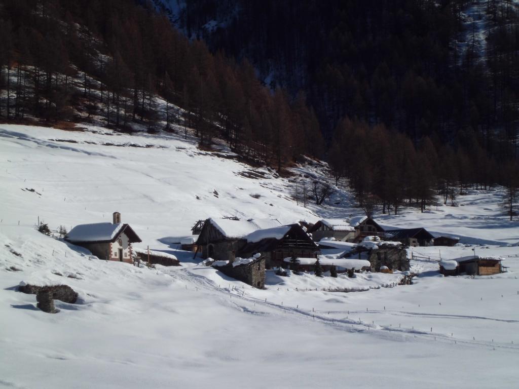
Da Bessé Haut proseguire lungo la strada sterrata verso SE che si inoltra nella Valle Argentera. Raggiunto un ampio pianoro a quota 2150 ca, dove si stacca il percorso verso la Rognosa del Sestriere, si abbandona la strada e si comincia a risalire in direzione NE verso la Serre Medette, puntando alla dorsale appena sopra la fine del rado bosco. Oltrepassata la dorsale (quota 2400 m ca) si prosegue in traverso ascendente, fino a raggiungere il fondo del vallone fra la Rognosa e le Rocce del Rouit da dove è ben visibile la nostra meta. Si risale in direzione del colle fra le due montagne quindi si piega a dx e si sale con le racchette, finchè le condizioni della neve lo permettono, il pendio ovest. Questo si fa via via più ripido e si restringe a canale nella parte finale e con un breve traverso si raggiunge il colletto fra le due cime (cornice). Si prosegue verso destra, inizialmente sul lato Val Troncea, su neve e misto ripido fino all’ometto della vetta sud.
- Cartografia:
- IGC 1:50000 - Valli Susa Chisone e Germanasca
Nelle vicinanze Mappa
Itinerari
04/04/2026 TO, Sauze di Cesana D+ 1421 m BRA, F Ovest
Giornalet (Monte) da Bessen Haut
 0m
0m
02/03/2019 TO, Sauze di Cesana D+ 350 m MR Nord
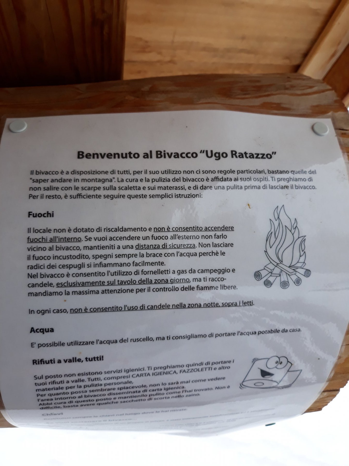
Ratazzo Ugo (Bivacco) da Bessen Haut
 50m
50m
30/03/2019 TO, Sauze di Cesana D+ 1315 m BR Sud-Ovest
Rognosa del Sestriere (Punta) da Bessen Haut per il versante SO
 50m
50m
09/04/2011 TO, Sauze di Cesana D+ 1284 m BRA, F Sud-Ovest
Platasse (Monte) da Bessen Haut
 50m
50m
11/04/2015 TO, Sauze di Cesana D+ 1090 m BR Sud-Ovest
Querellet (Monte) da Bessen Bas
 800m
800m
08/02/2020 TO, Sauze di Cesana D+ 247 m T Ovest
Brusà del Plan da Bessen Bas per la Valle Argentera
 800m
800m
19/01/2020 TO, Sauze di Cesana D+ 340 m MR Sud
Seuil (Grange) da Ponte Terribile
950m
18/11/2025 TO, Sauze di Cesana D+ 1337 m BR Ovest
Appenna (Monte) dalla Valle Argentera
1Km
05/02/2013 TO, Sauze di Cesana D+ 250 m MR Est
Plane (Alpe) dal Ponte Terribile per la Valle Argentera
 1Km
1Km
23/05/2010 TO, Sauze di Cesana D+ 1479 m ORA, F+ Nord
Gran Roc (Monte) da Ponte Terribile
 1Km
1Km
Servizi
200m
6.1Km
da Carlo Rifugio
Cesana Torinese
6.1Km
La Tana degli Orsi B&B
Cesana Torinese
6.1Km
La Crota B&B
Cesana Torinese
6.3Km
La Fontana del Thures Rifugio
Cesana Torinese
6.5Km
Centro Ristorante
Cesana Torinese
7.6Km
Mulino di Laval Rifugio
Pragelato
7.9Km
La capanna del sole Ristorante
Pragelato
7.9Km
Al Mulino Ristorante
Pragelato
8.4Km