100m
100m
Avvicinamento
 50m
700m
1.6Km
3.5Km
4.1Km
4.1Km
4.5Km
5.2Km
50m
700m
1.6Km
3.5Km
4.1Km
4.1Km
4.5Km
5.2Km
100m
600m
1.2Km
1.2Km
1.3Km
1.3Km
1.3Km
1.4Km
1.4Km
1.8Km
.
Descrizione
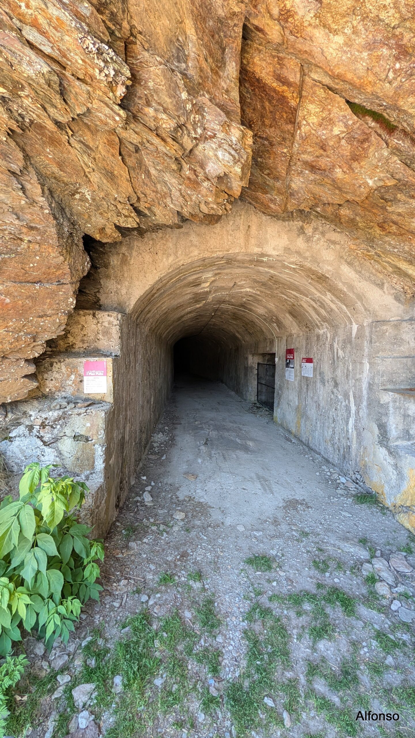
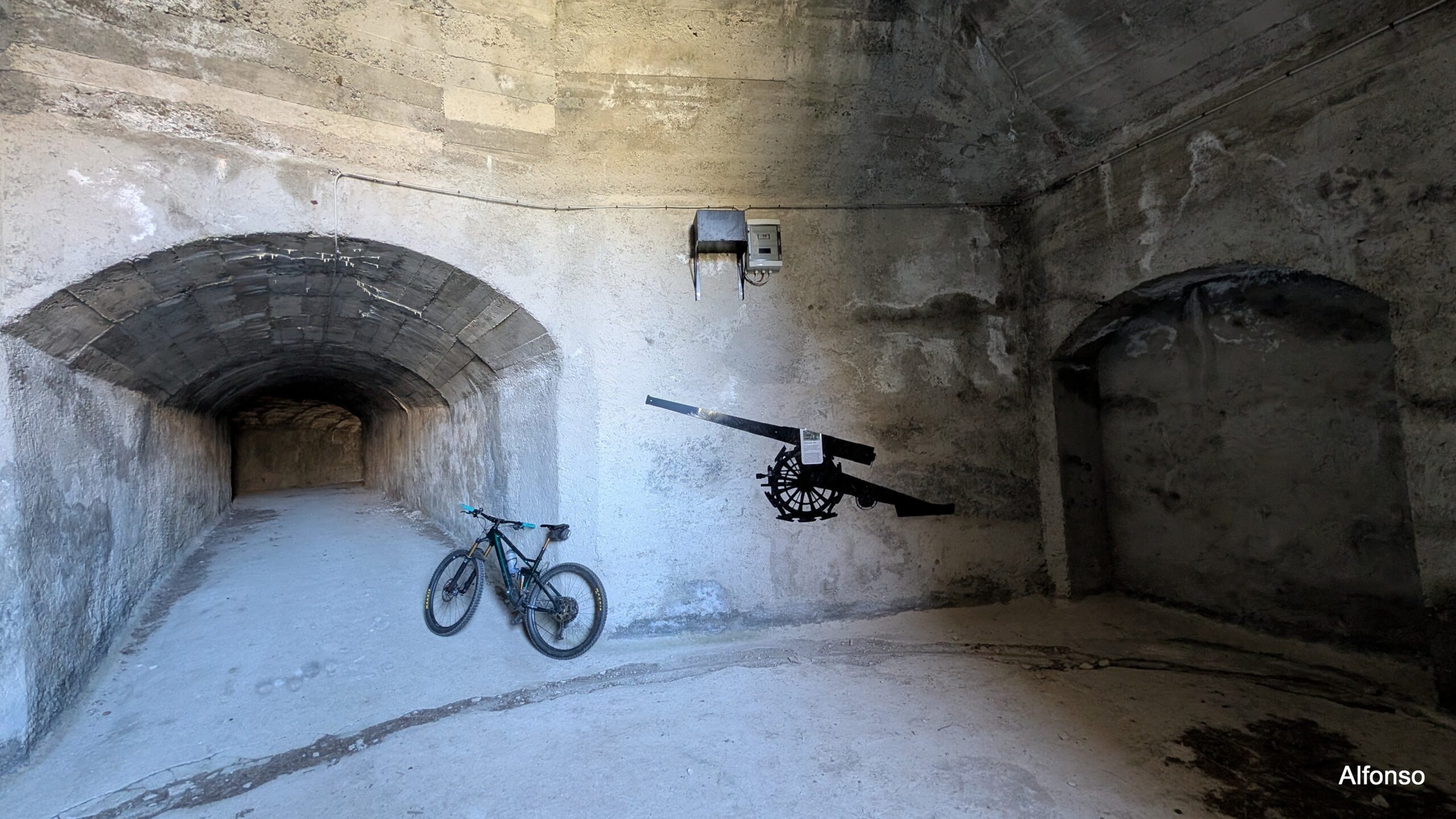
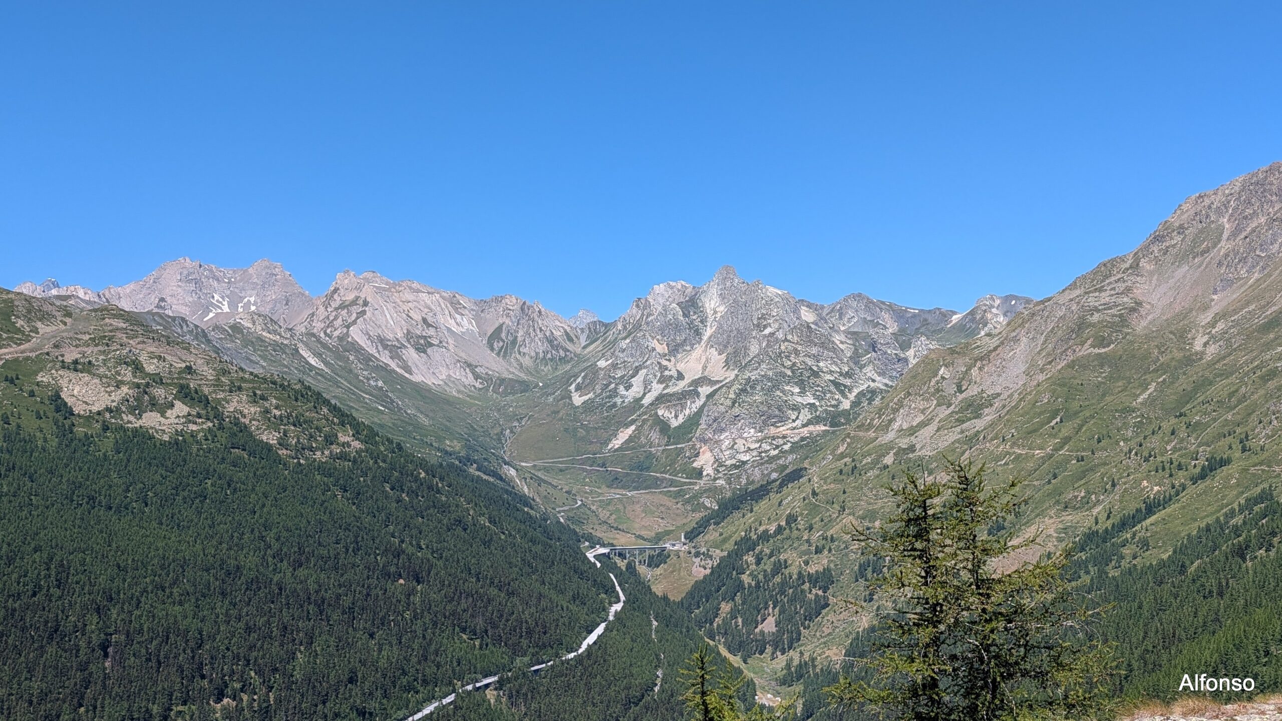
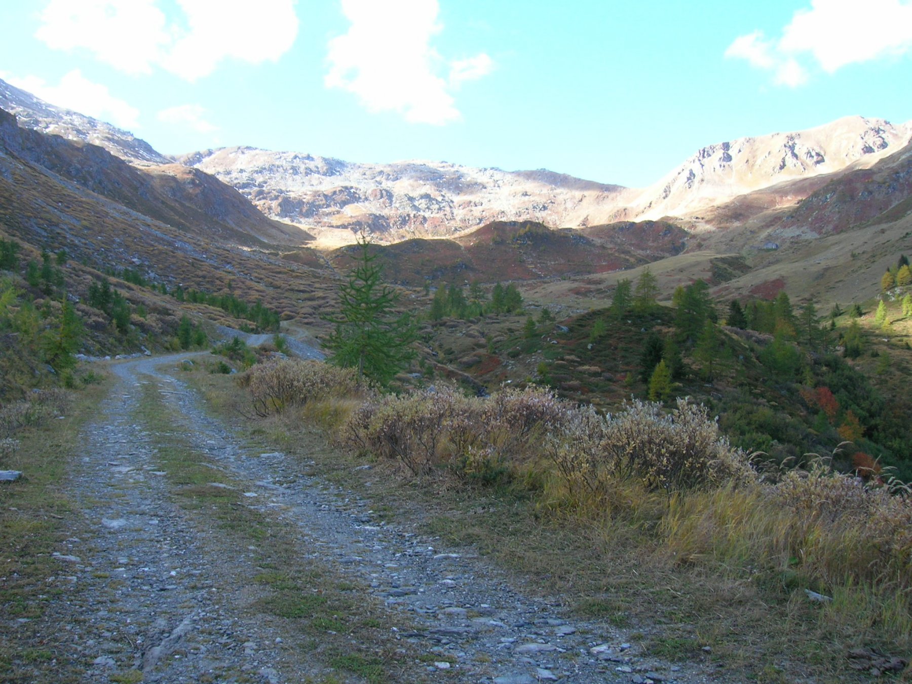
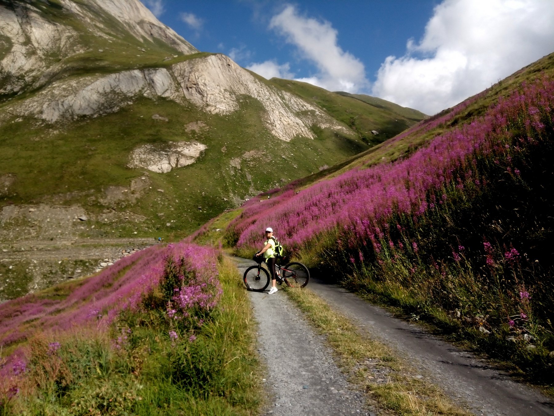
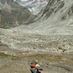
Dal centro di Saint Rhemy en Bosses si sale in direzione del Colle del Gran San Bernardo, fino ad incontrare sulla destra l’inizio della sterrata per Plan Puitz. La si segue fedelmente fino alle fortificazioni poste in cima. Lo sterrato è sempre in ottime condizioni e mai particolarmente impegnativo.
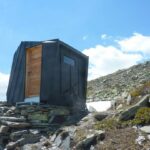
Sulla spianata sommitale, all’ingresso della fortificazione in caverna, è presente una stazione di ricarica ebike alimentata da pannelli solari.
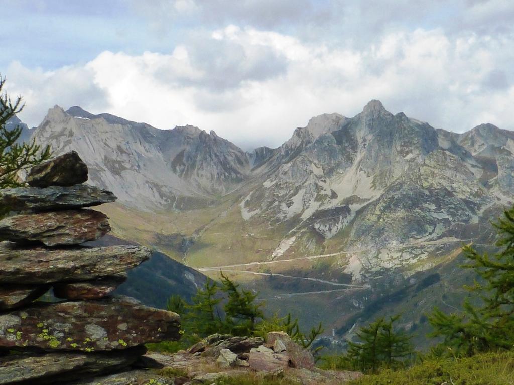
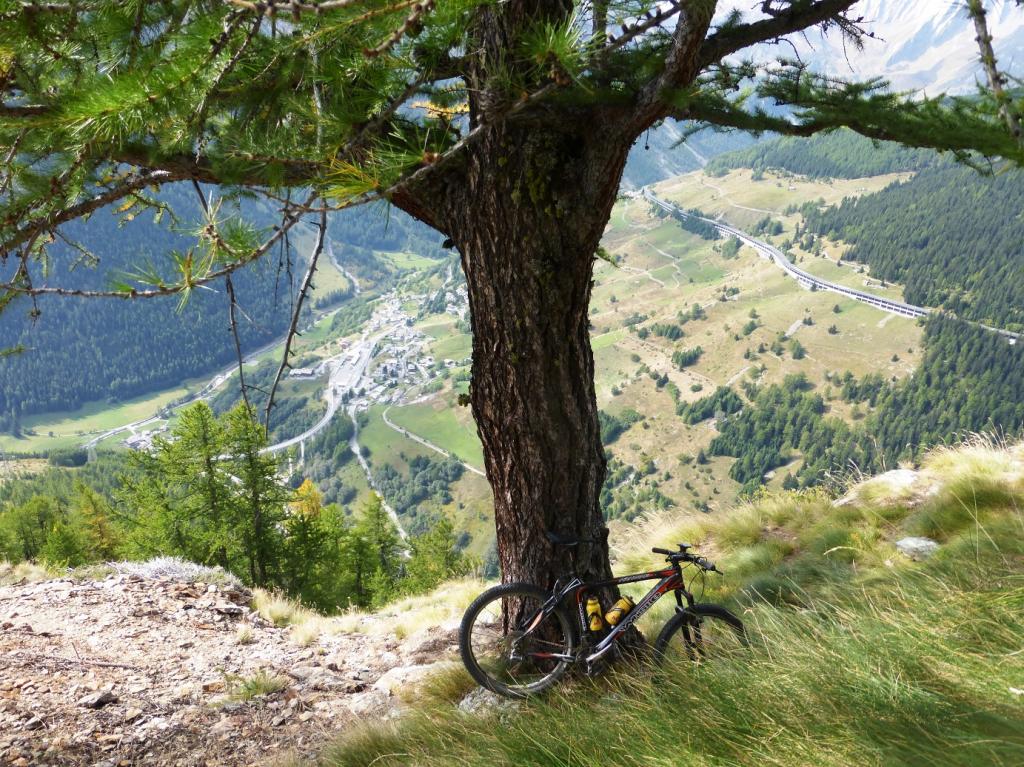
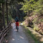
In dicesa, possibilità di scendere verso l’Alpe Barasson e quindi su Saint Oyen
- Cartografia:
- IGC n.4 1:50000 massiccio del Monte Bianco
- Bibliografia:
- Alta via 1, 14
Nelle vicinanze Mappa
Itinerari
19/08/2023 AO, Saint-Rhemy-En-Bosses D+ 3250 m OC, BC+, S2 Tutte
Malatrà, Grand Ferret, Fenetre de Ferret (Colli) da Saint Rhemy en Bosses, giro
 50m
50m
09/10/2018 AO, Saint-Rhemy-En-Bosses D+ 1405 m MC+, OC+, S4 Nord
Cordella (Testa) da Cerisey
 700m
700m
29/08/2021 AO, Saint-Oyen D+ 1864 m BC+, OC, S3 Tutte
Vertosan, Citrin (Colli) da Saint Oyen, giro
 1.6Km
1.6Km
15/08/2006 AO, Saint-Oyen D+ 2200 m BC, TC, S1 Tutte
Flassin, Falita, Serena (Colli) da Flassin, giro
1.6Km
04/09/2022 AO, Saint-Oyen D+ 1154 m MC, OC, S3 Tutte
Paglietta (Monte) da Saint Oyen
 3.5Km
3.5Km
08/07/2023 AO, Saint-Rhemy-En-Bosses D+ 1430 m MC, BC+, S2 Sud-Est
Malatrà (Col de) da Mottes
 4.1Km
4.1Km
12/06/2021 AO, Saint-Rhemy-En-Bosses D+ 1000 m MC+, MC, S1 Sud
Crevacol (Testa di) da Mottes, giro
 4.1Km
4.1Km
15/08/2025 AO, Etroubles D+ 5400 m OC+, OC+, S4 Tutte
Durand (Fenetre) e Fenetre de Ferret da Etroubles, gran Tour des Combins per i colli Tsofeiret, de Mille, Neve de la Rousse (3 gg)
 4.5Km
4.5Km
24/06/2026 AO, Etroubles D+ 940 m MC, MC+, S1 Varie
Chaligne (Rifugio) da Etroubles
 5.2Km
5.2Km
23/08/2005 AO, Etroubles D+ 871 m BC Sud
Chaz Nouva (Alpe) da Prailles
5.3Km
Servizi
100m
 600m
600m
La Vieille Cloche B&B
Saint-rhemy-en-bosses 1.2Km
1.2Km
Ristorante Des Alpes Ristorante
Saint Rhemy 1.2Km
1.2Km
Hotel Des Alpes Albergo
Saint-rhemy-en-bosses 1.3Km
1.3Km
Ristorante Suisse Ristorante
Saint Rhemy 1.3Km
1.3Km
Hotel Suisse Albergo
Saint-rhemy-en-bosses 1.3Km
1.3Km
Ettore Personnettaz Professionisti
Saint Rhemy 1.4Km
1.4Km
Le Nouveau Foyer Ristorante
Saint-rhemy-en-bosses 1.4Km
1.4Km
Noleggio sci Flassin Servizi
Saint-rhemy-en-bosses 1.8Km
1.8Km