1.1Km
1.1Km
Note
 950m
950m
950m
2Km
2Km
3.4Km
4.1Km
5.9Km
5.9Km
5.9Km
950m
950m
950m
2Km
2Km
3.4Km
4.1Km
5.9Km
5.9Km
5.9Km
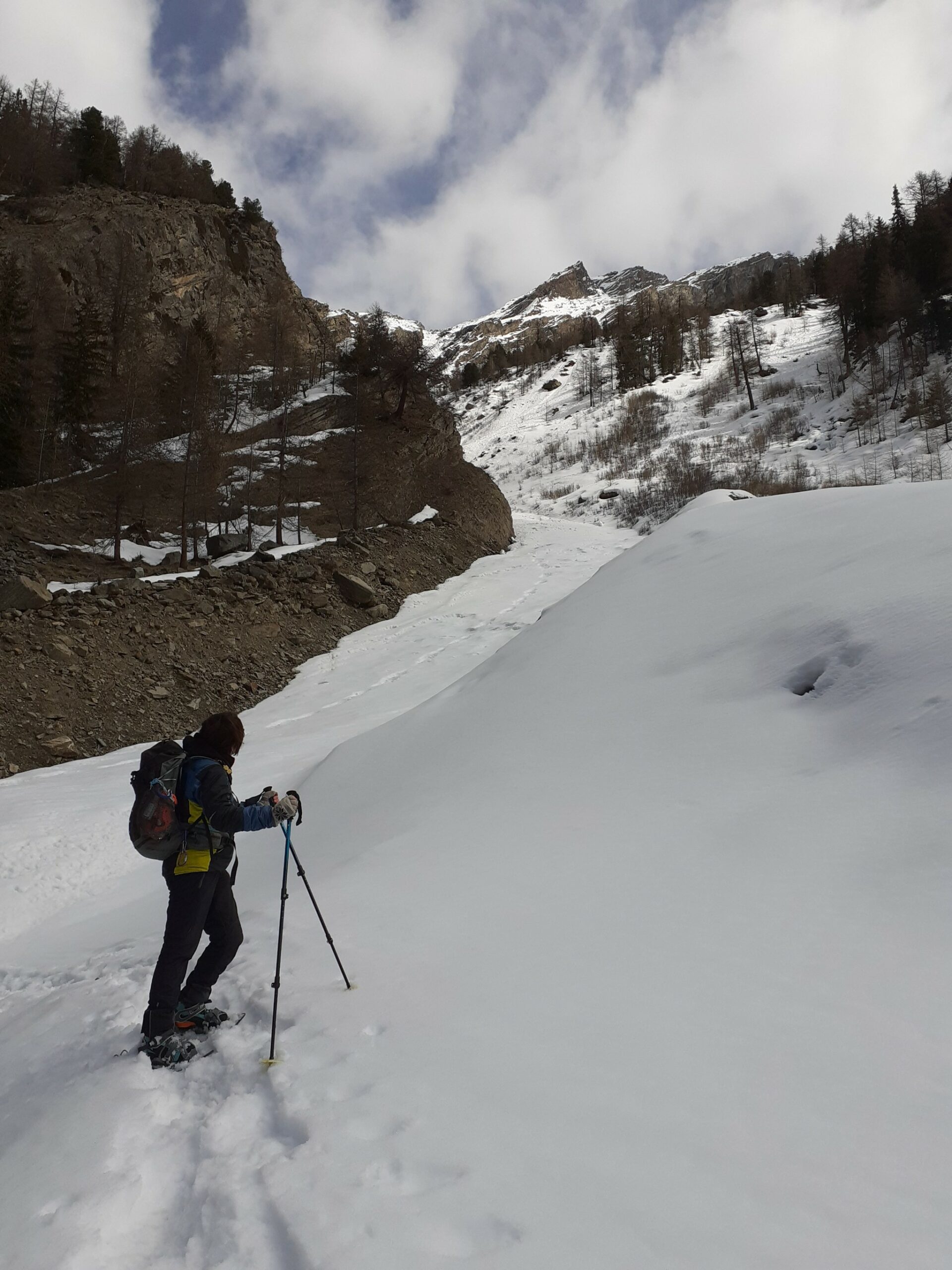
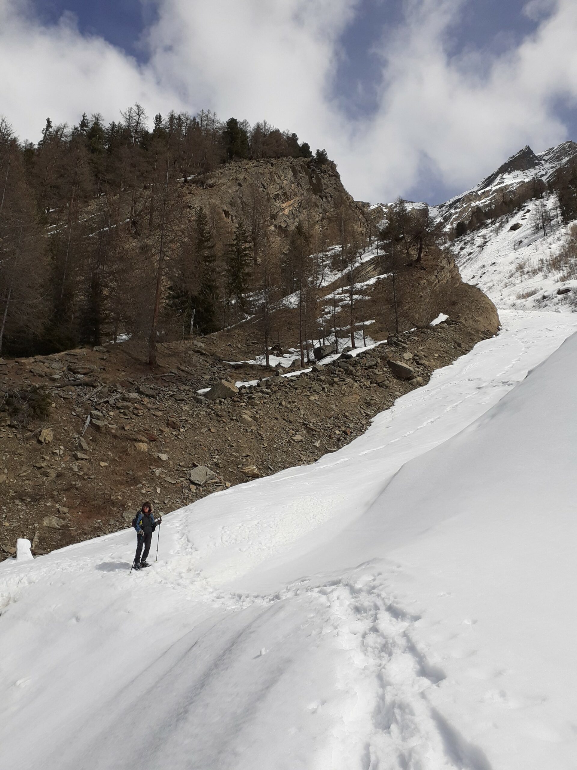
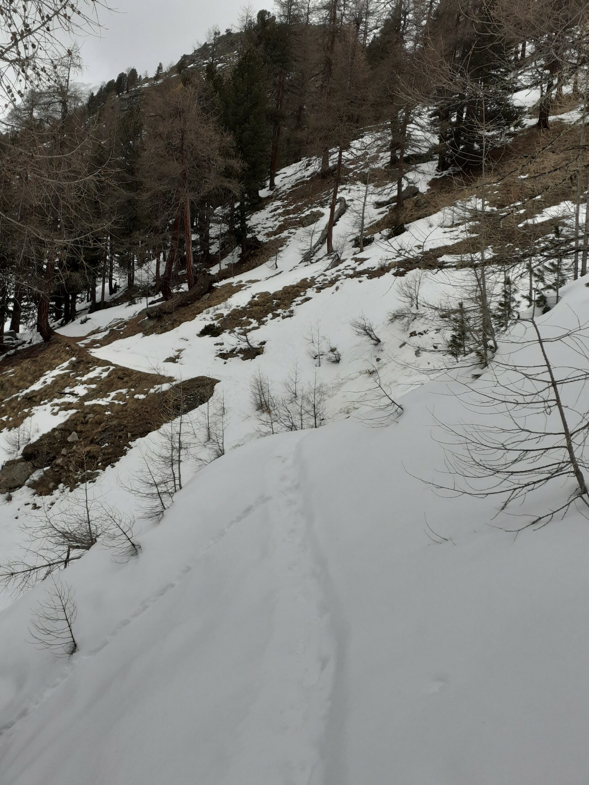
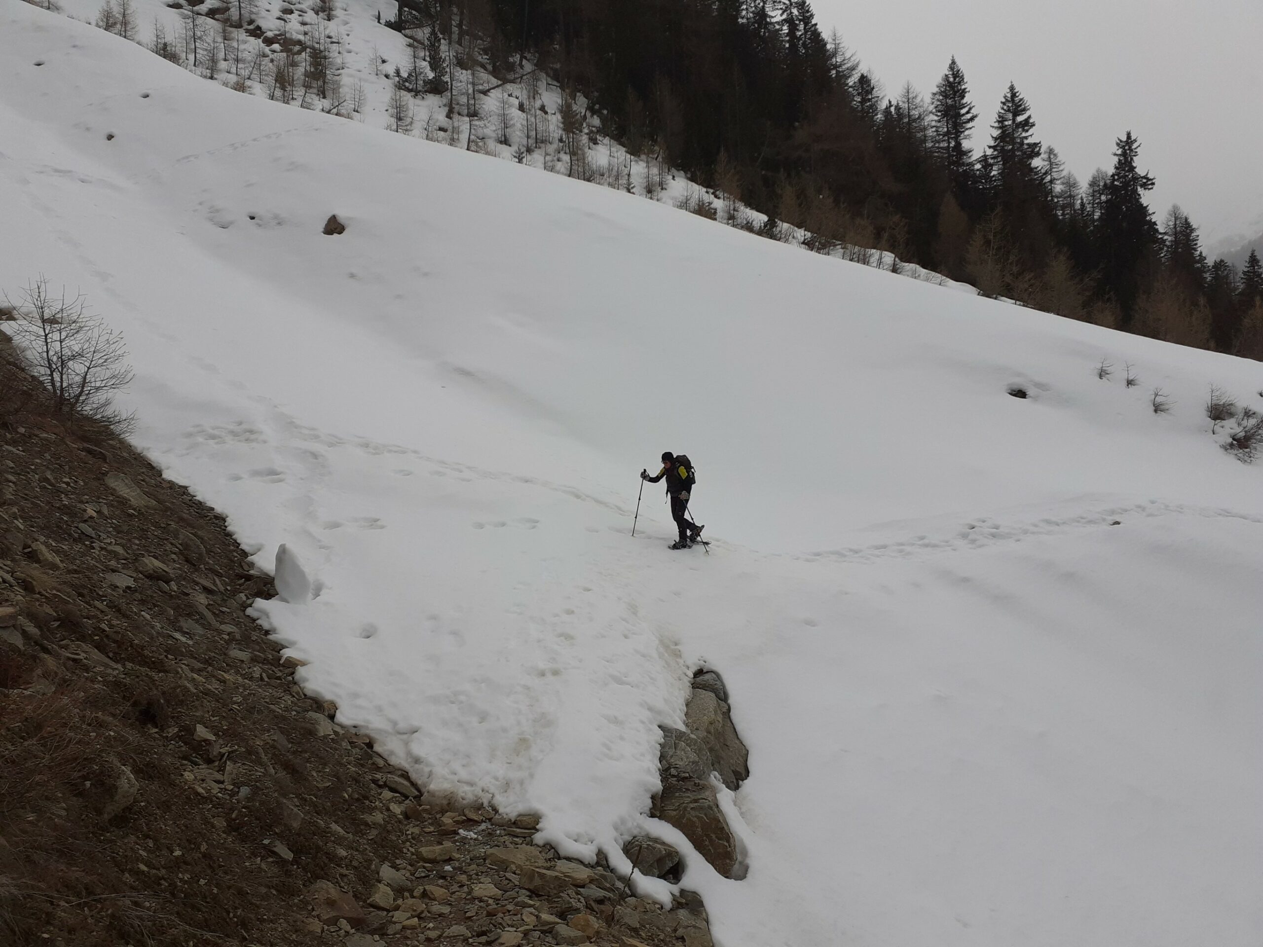
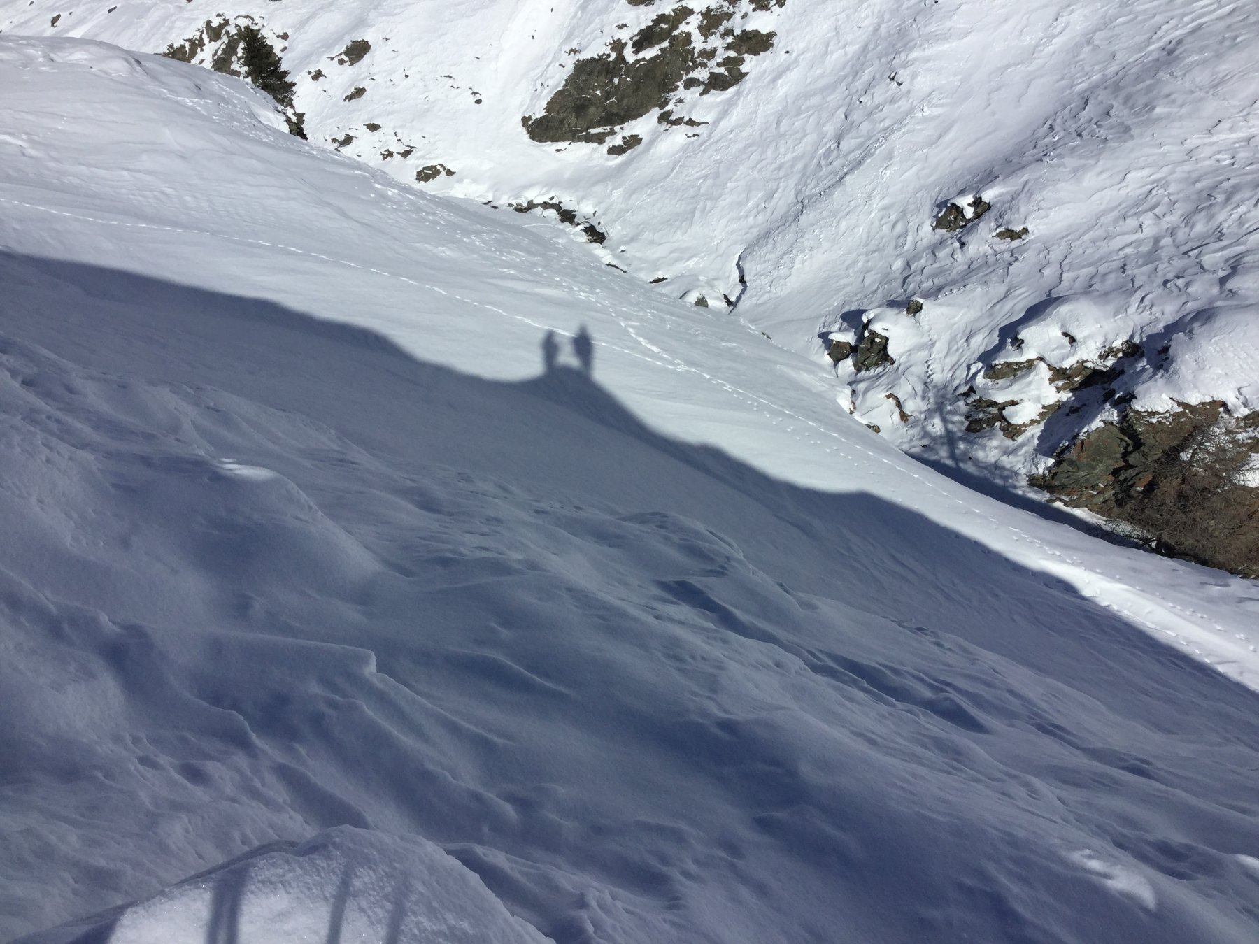
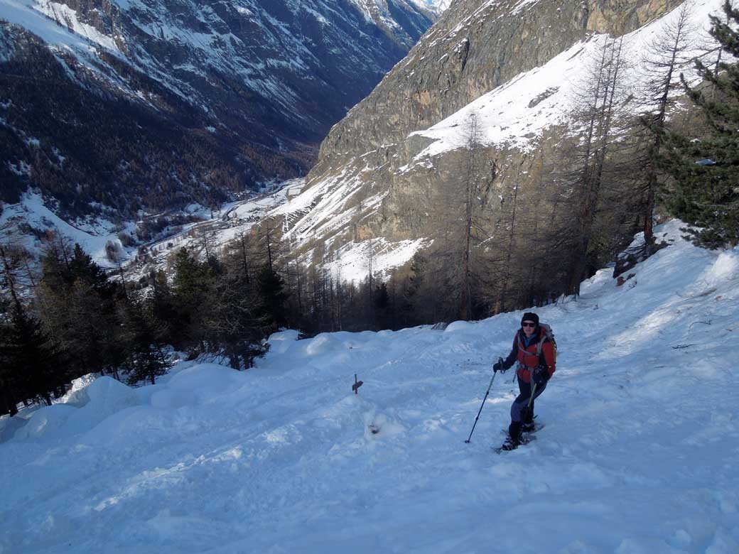
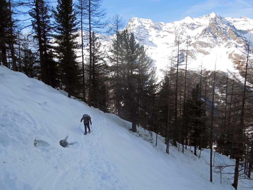
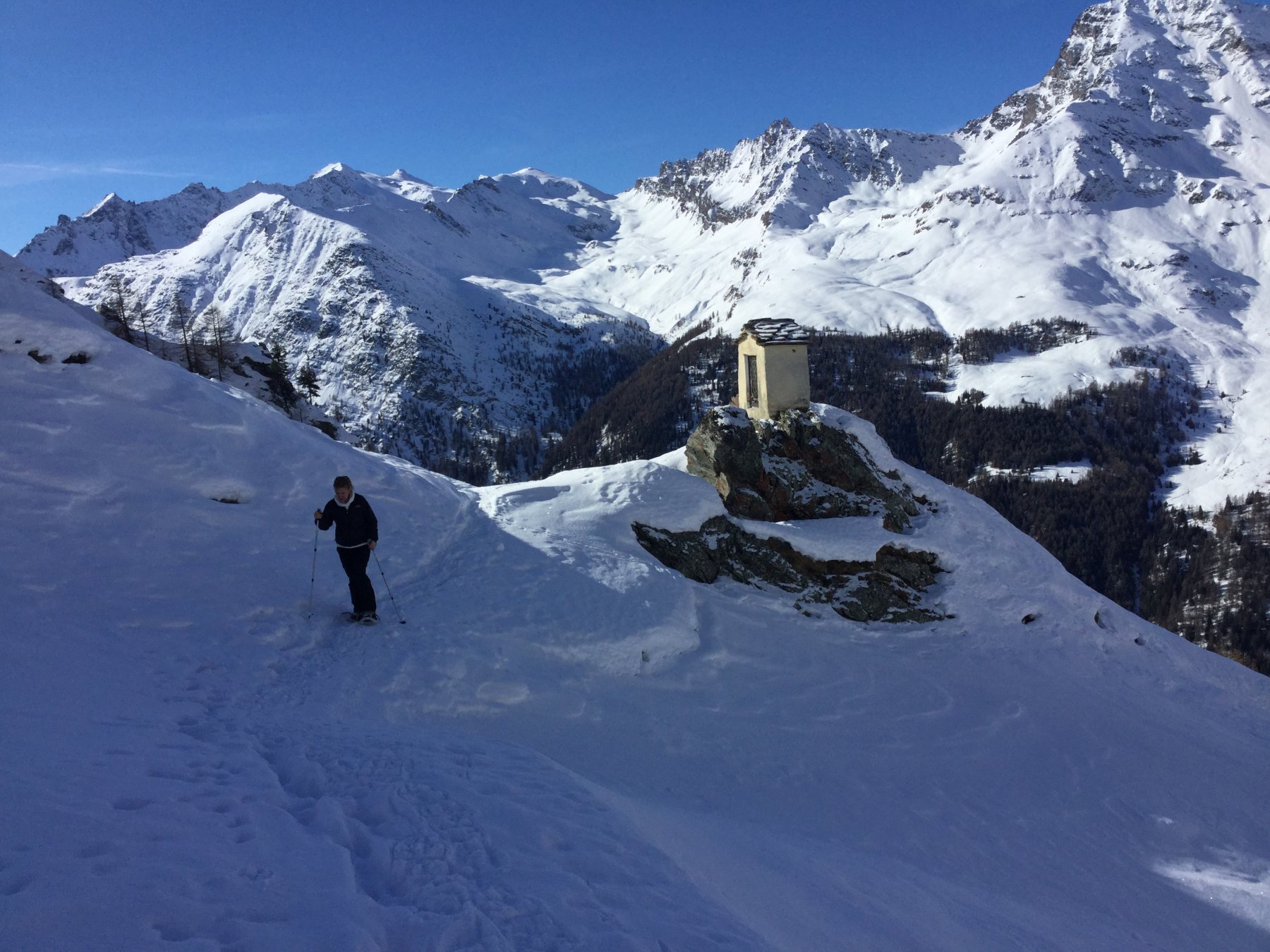
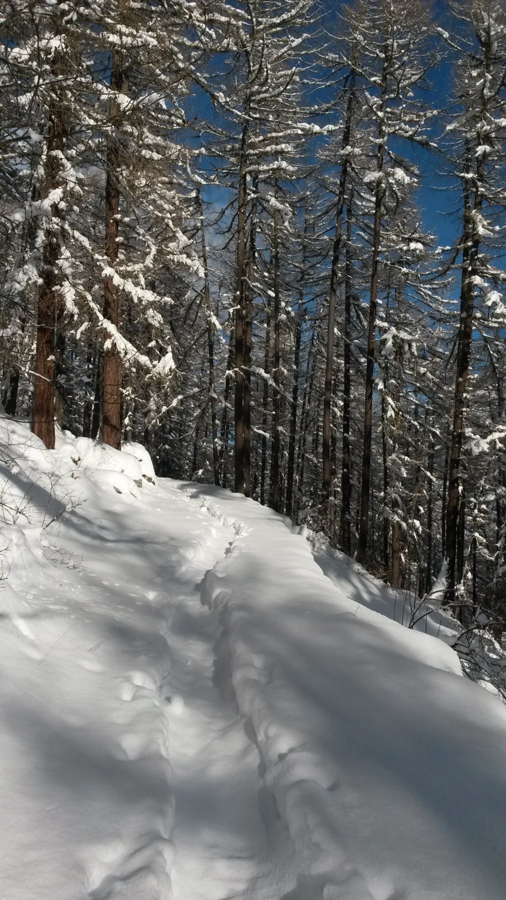
Percorso segnalato con cartelli indicatori e bollini verdi ben visibili. Evidenti in salita, lasciati piuttosto all'intuizione in discesa.
Avvicinamento
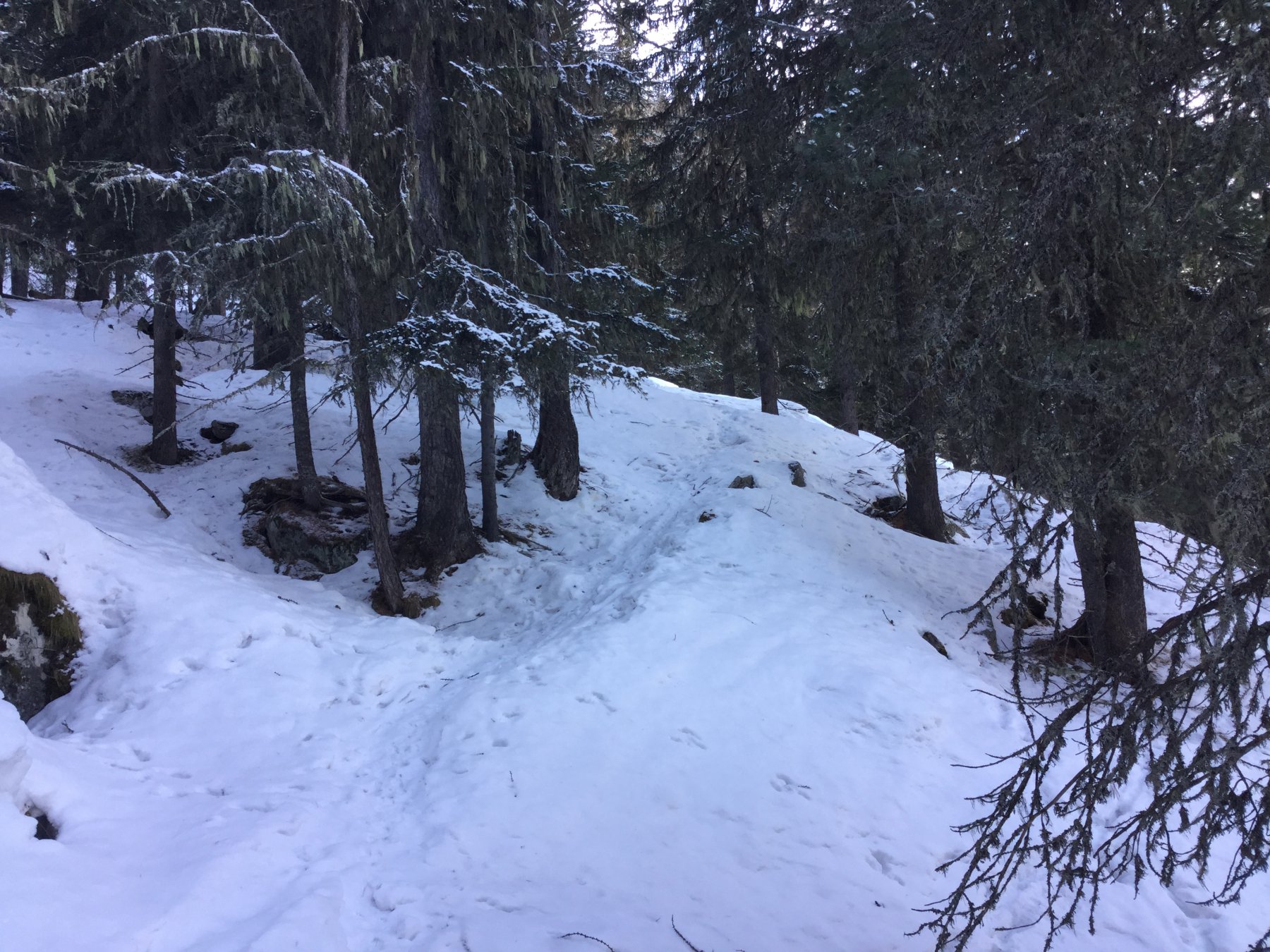
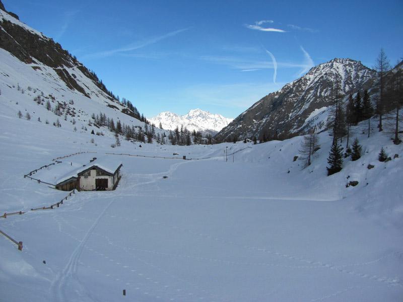
Risalire la strada regionale della Valsavarenche e superare il capoluogo Degioz. Il percorso parte direttamente dall strada regionale, poco prima del camping Grivola in frazione Bien.
C'è un grande cartello indicatore sul bordo strada.
Descrizione
C'è un grande cartello indicatore sul bordo strada.
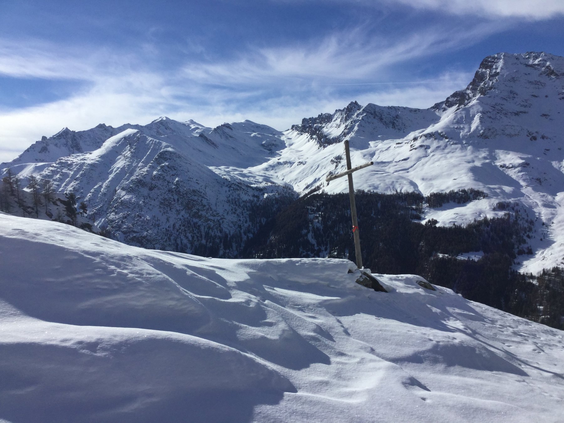
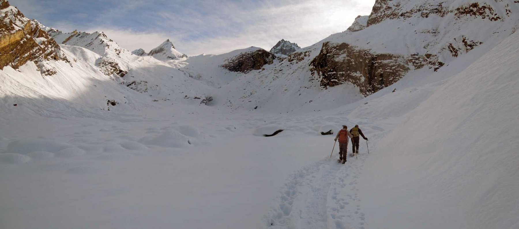
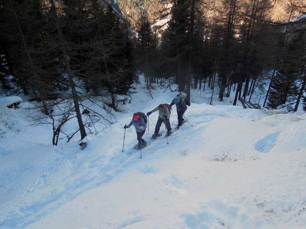
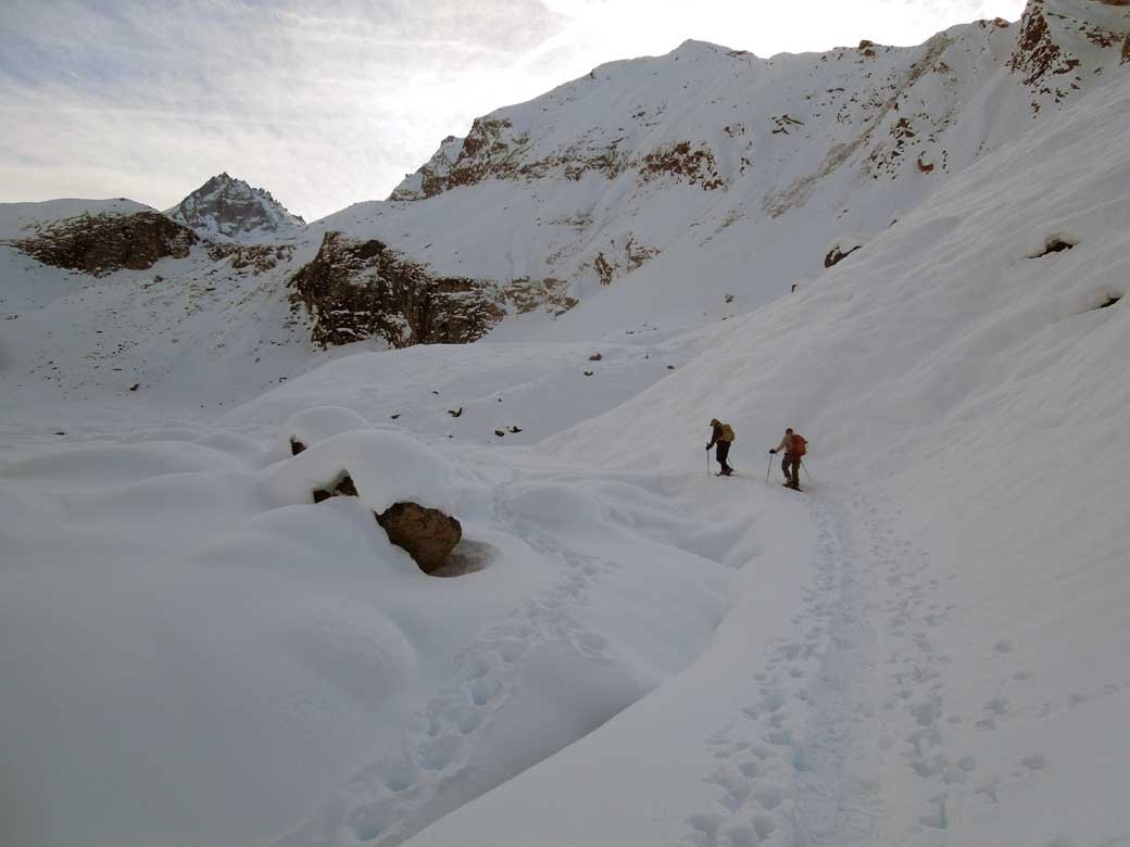
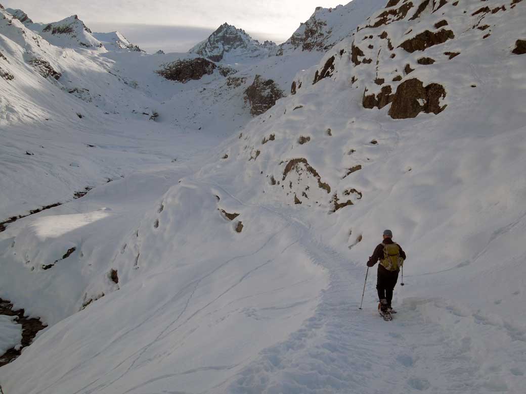
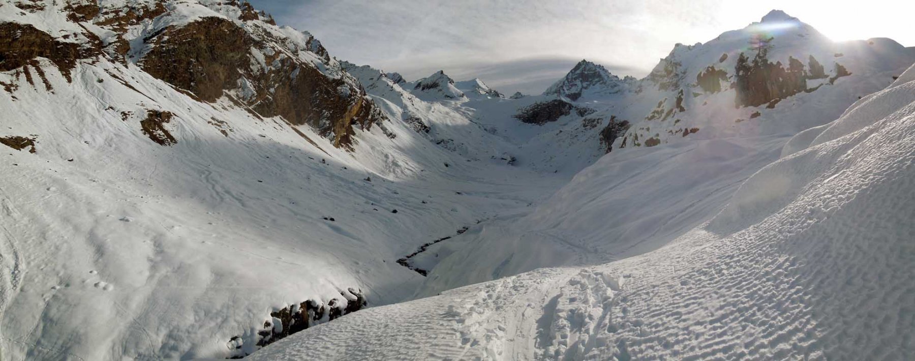
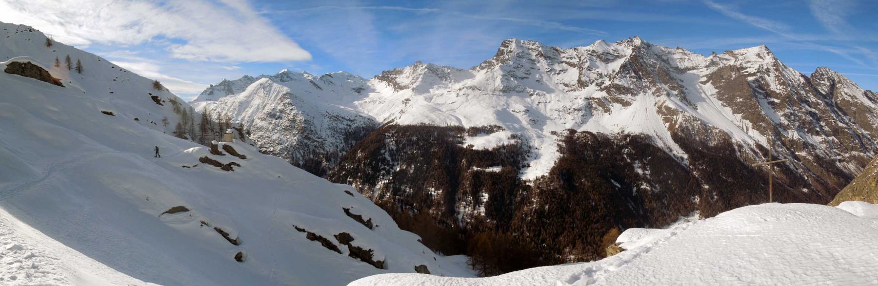
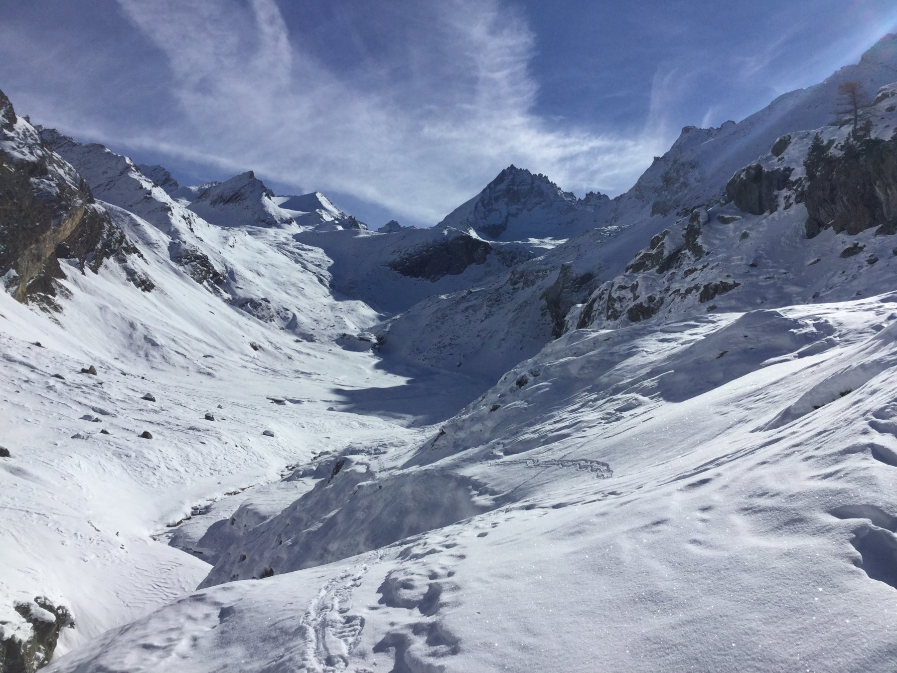
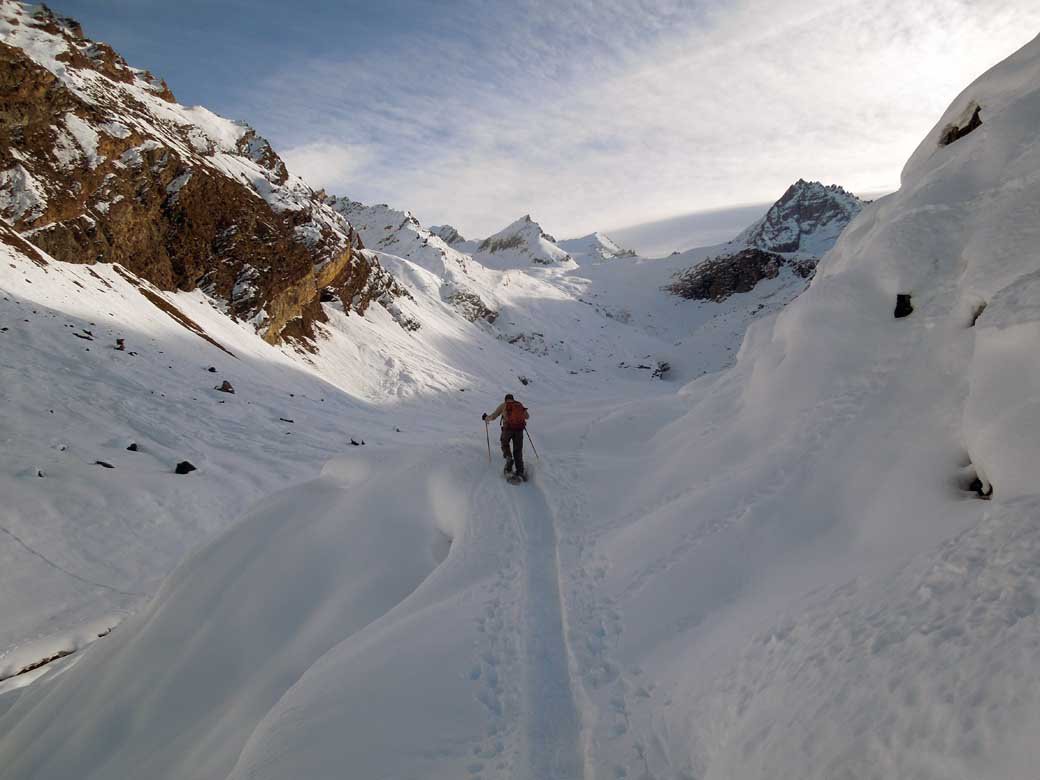
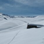
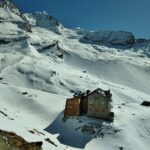
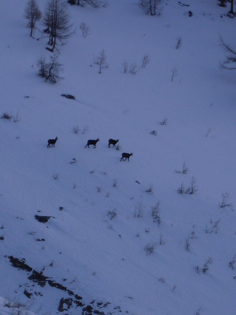
Si esegue un ampio giro compreso tra il vallone Levionaz e il sentiero AV2 del Col Lauson. Piacevole la breve digressione alle baite e casotto del Parco di Levionaz, balcone belvedere sulla Valsavarenche.
Nelle vicinanze Mappa
Itinerari
04/03/2026 AO, Valsavarenche D+ 550 m MR Sud-Est
Orvielle (Casotto di) da Eaux Rousses
 950m
950m
23/02/2008 AO, Valsavarenche D+ 1298 m BRA, F Sud-Est
Sort (Colle di) da Eaux Rousses
 950m
950m
20/03/2025 AO, Valsavarenche D+ 650 m MR Nord-Ovest
Sopranaz (Alpeggio) e Casotto di Orvieille da Eaux Rousses
 950m
950m
05/02/2011 AO, Valsavarenche D+ 601 m MR Nord
Orvielle (Casotto di) da Degioz
 2Km
2Km
05/01/2016 AO, Valsavarenche D+ 250 m BR Est
Vers le Bois – Payel, da Degioz
 2Km
2Km
05/03/2025 AO, Valsavarenche D+ 925 m MR Ovest
Chabod Federico (Rifugio) da Pravieux
 3.4Km
3.4Km
27/01/2013 AO, Valsavarenche D+ 402 m MR Ovest
Mesoncles (Casotto di) da Rovenaud
 4.1Km
4.1Km
15/03/2008 AO, Valsavarenche D+ 1470 m BRA, F Nord-Est
Entrelor (Cima di) da Pont Valsavarenche
 5.9Km
5.9Km
04/05/2016 AO, Valsavarenche D+ 1649 m BRA, PD Nord-Ovest
Tresenta (la) da Pont Valsavarenche per il versante NO e la cresta N
 5.9Km
5.9Km
16/06/2018 AO, Valsavarenche D+ 2101 m BRA, F+ Varie
Gran Paradiso da Pont Valsavarenche
 5.9Km
5.9Km