50m
50m

Note
 50m
2Km
2.2Km
2.8Km
2.8Km
2.8Km
5.4Km
7.7Km
7.7Km
7.7Km
50m
2Km
2.2Km
2.8Km
2.8Km
2.8Km
5.4Km
7.7Km
7.7Km
7.7Km
Si consiglia di utilizzare il parcheggio antistante il municipio nella frazione Degioz di Valsavarenche
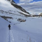
Avvicinamento
Risalire la strada regionale della Valsavarenche da Villeneuve (AO) sino al capoluogo.
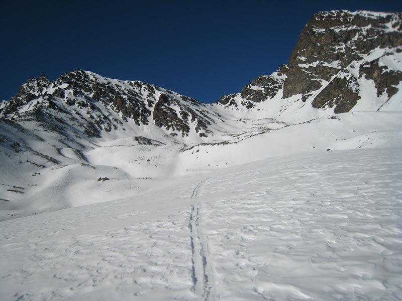
Descrizione
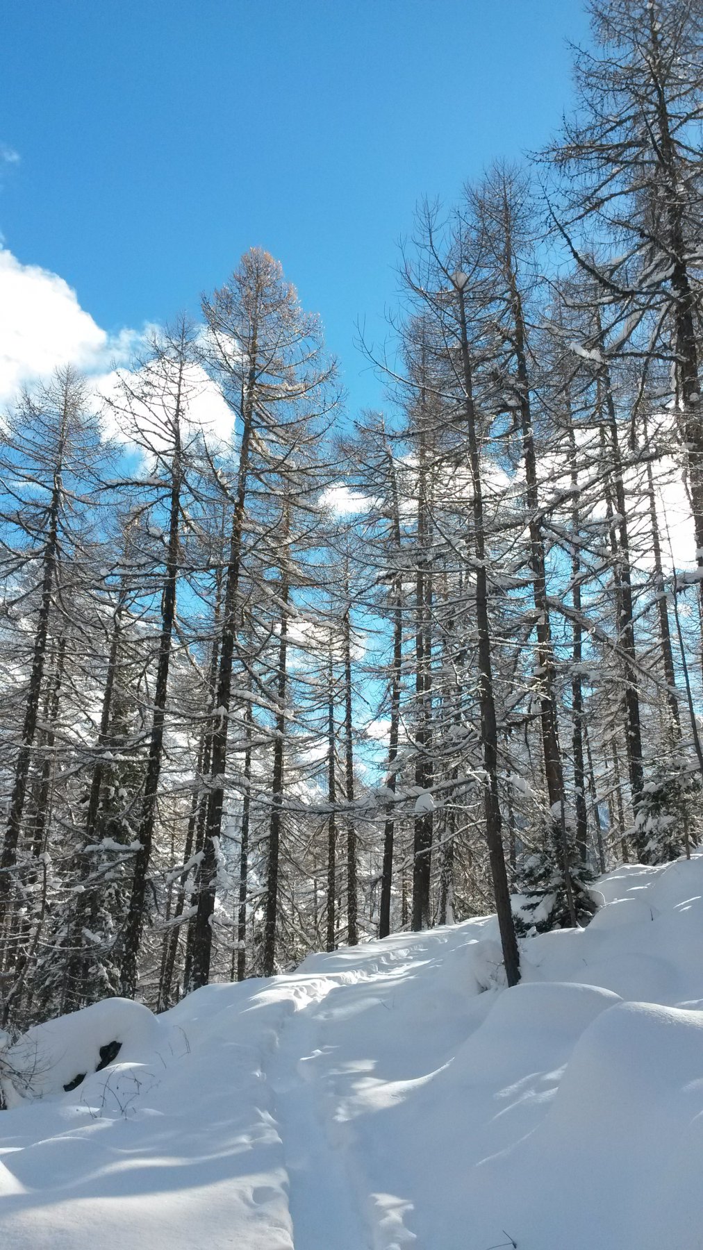
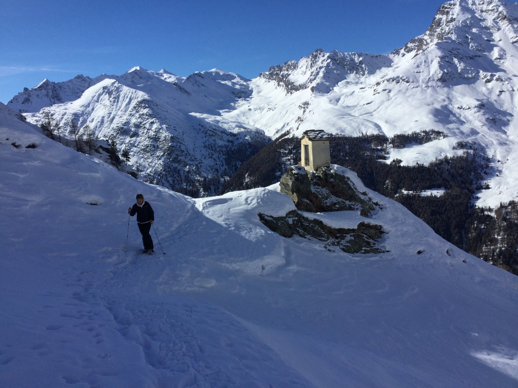
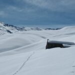
Il percorso inizia risalendo il tracciato del sentiero di caccia per il casotto del guardaparco di Orvielle. Dopo circa 2 km, raggiunta la quota di circa 1750m un evidente cartello indicatore indica di svoltare a sinistra e cominciare il nuovo tracciato per ciaspole che traversa verso sud la dorsale orografica sinistra della valle.
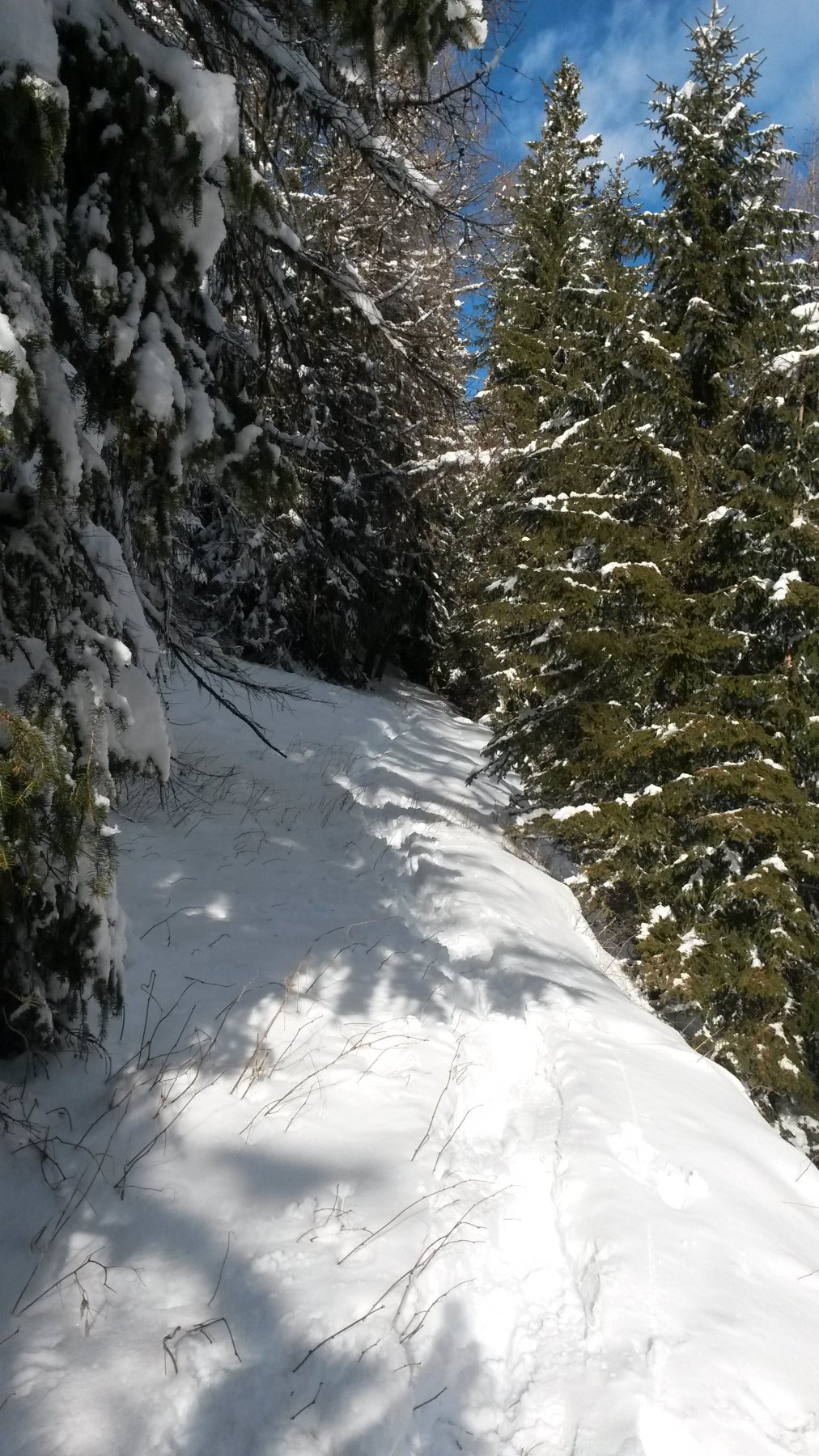
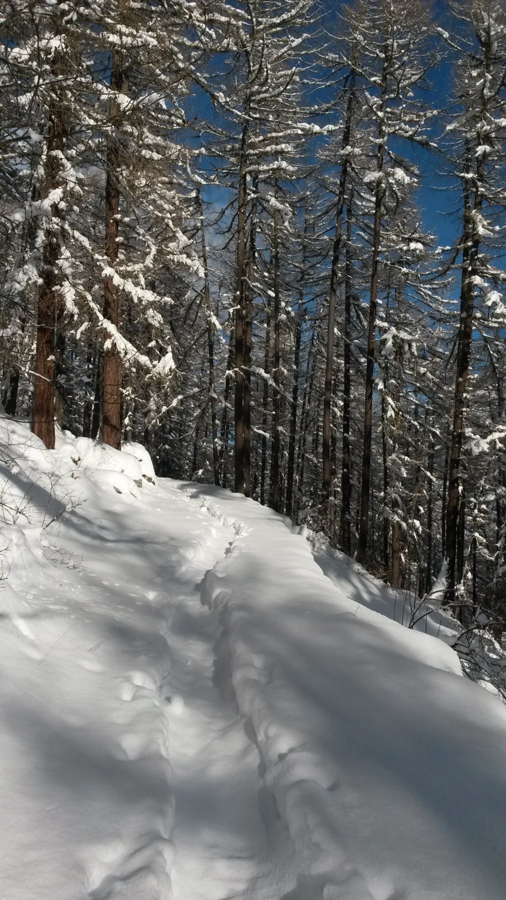
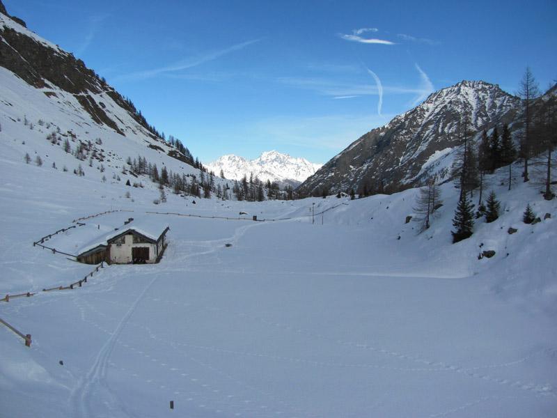
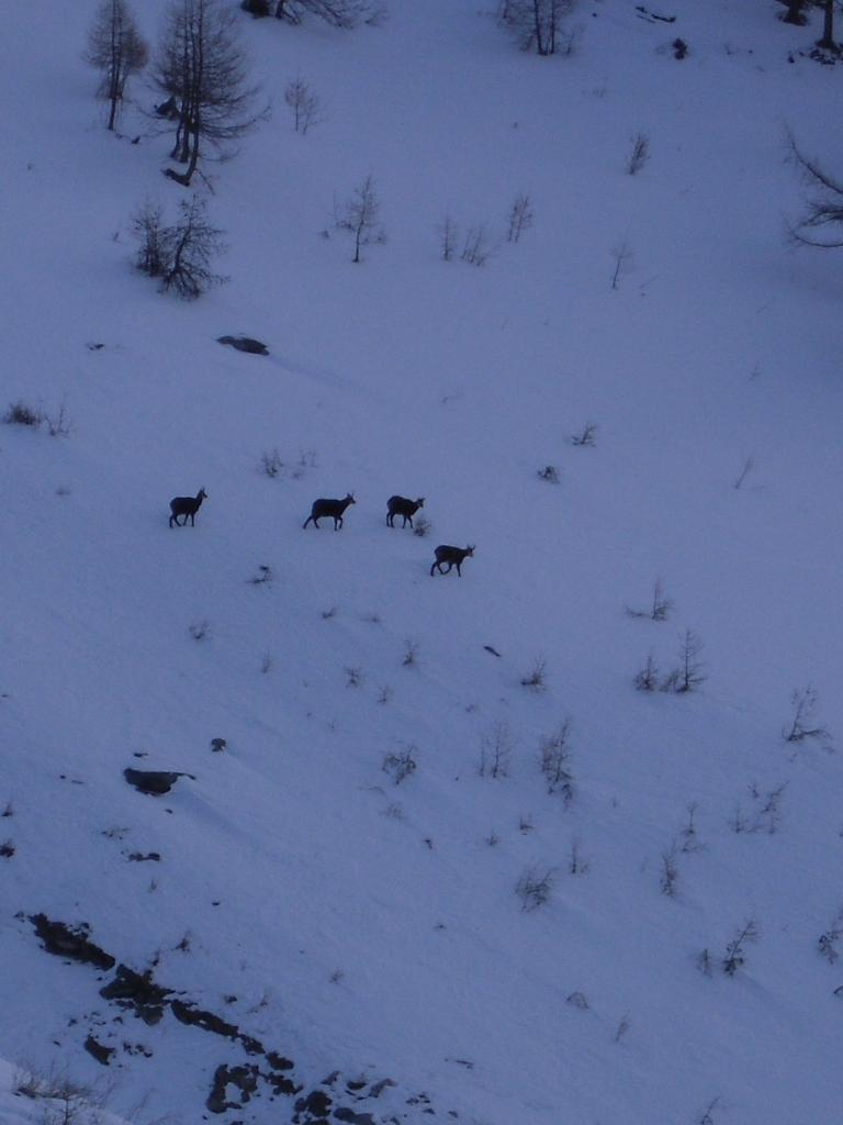
Il sentiero è ben segnalato da molte frecce lignee indicatrici, inizialmente in leggera salita e poi in leggera discesa. Alcuni passaggi richiedono un minimo di attenzione, ed infatti in un punto è stata posta una corda per aiutare l’escursionista a non scivolare. Possibili incontri con camosci. Il sentiero termina (circa 3 km) dopo aver raggiunto la sommità della seggiovia della pista da sci, da cui in breve si scende a Payel e da lì a Creton.
Nelle vicinanze Mappa
Itinerari
05/02/2011 AO, Valsavarenche D+ 601 m MR Nord
Orvielle (Casotto di) da Degioz
 50m
50m
29/03/2025 AO, Valsavarenche D+ 600 m MR Ovest
Levionaz (Vallone di) da Bien, Percorso Bequet
 2Km
2Km
27/01/2013 AO, Valsavarenche D+ 402 m MR Ovest
Mesoncles (Casotto di) da Rovenaud
 2.2Km
2.2Km
04/03/2026 AO, Valsavarenche D+ 550 m MR Sud-Est
Orvielle (Casotto di) da Eaux Rousses
 2.8Km
2.8Km
20/03/2025 AO, Valsavarenche D+ 650 m MR Nord-Ovest
Sopranaz (Alpeggio) e Casotto di Orvieille da Eaux Rousses
 2.8Km
2.8Km
23/02/2008 AO, Valsavarenche D+ 1298 m BRA, F Sud-Est
Sort (Colle di) da Eaux Rousses
 2.8Km
2.8Km
05/03/2025 AO, Valsavarenche D+ 925 m MR Ovest
Chabod Federico (Rifugio) da Pravieux
 5.4Km
5.4Km
15/03/2008 AO, Valsavarenche D+ 1470 m BRA, F Nord-Est
Entrelor (Cima di) da Pont Valsavarenche
 7.7Km
7.7Km
04/05/2016 AO, Valsavarenche D+ 1649 m BRA, PD Nord-Ovest
Tresenta (la) da Pont Valsavarenche per il versante NO e la cresta N
 7.7Km
7.7Km
16/06/2018 AO, Valsavarenche D+ 2101 m BRA, F+ Varie
Gran Paradiso da Pont Valsavarenche
 7.7Km
7.7Km