1.3Km
1.3Km

Note
 0m
50m
50m
50m
50m
50m
50m
50m
50m
0m
50m
50m
50m
50m
50m
50m
50m
50m
1.3Km
4.9Km
5.8Km
6.1Km
6.2Km
6.4Km
6.7Km
7.8Km
9.4Km
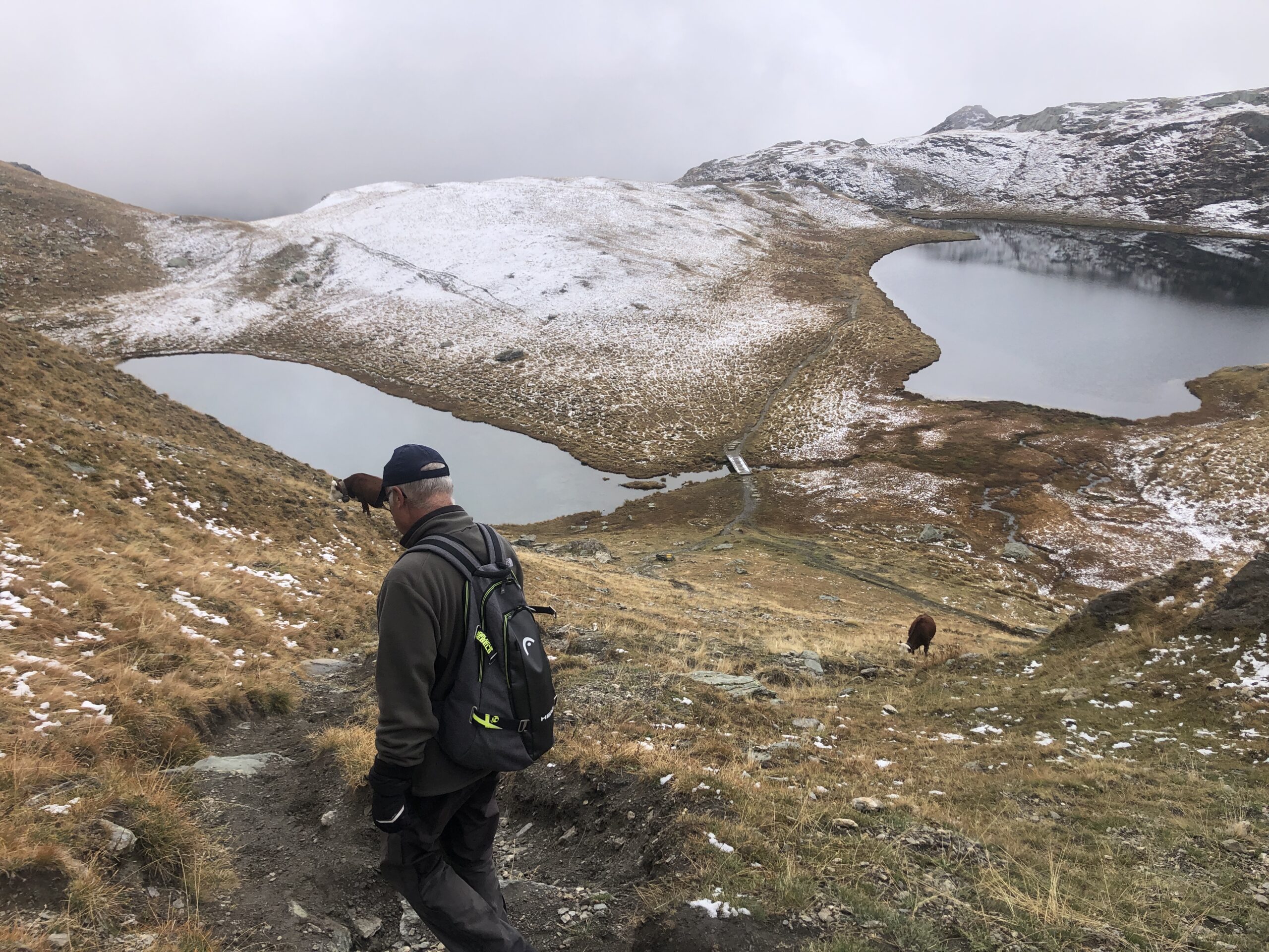
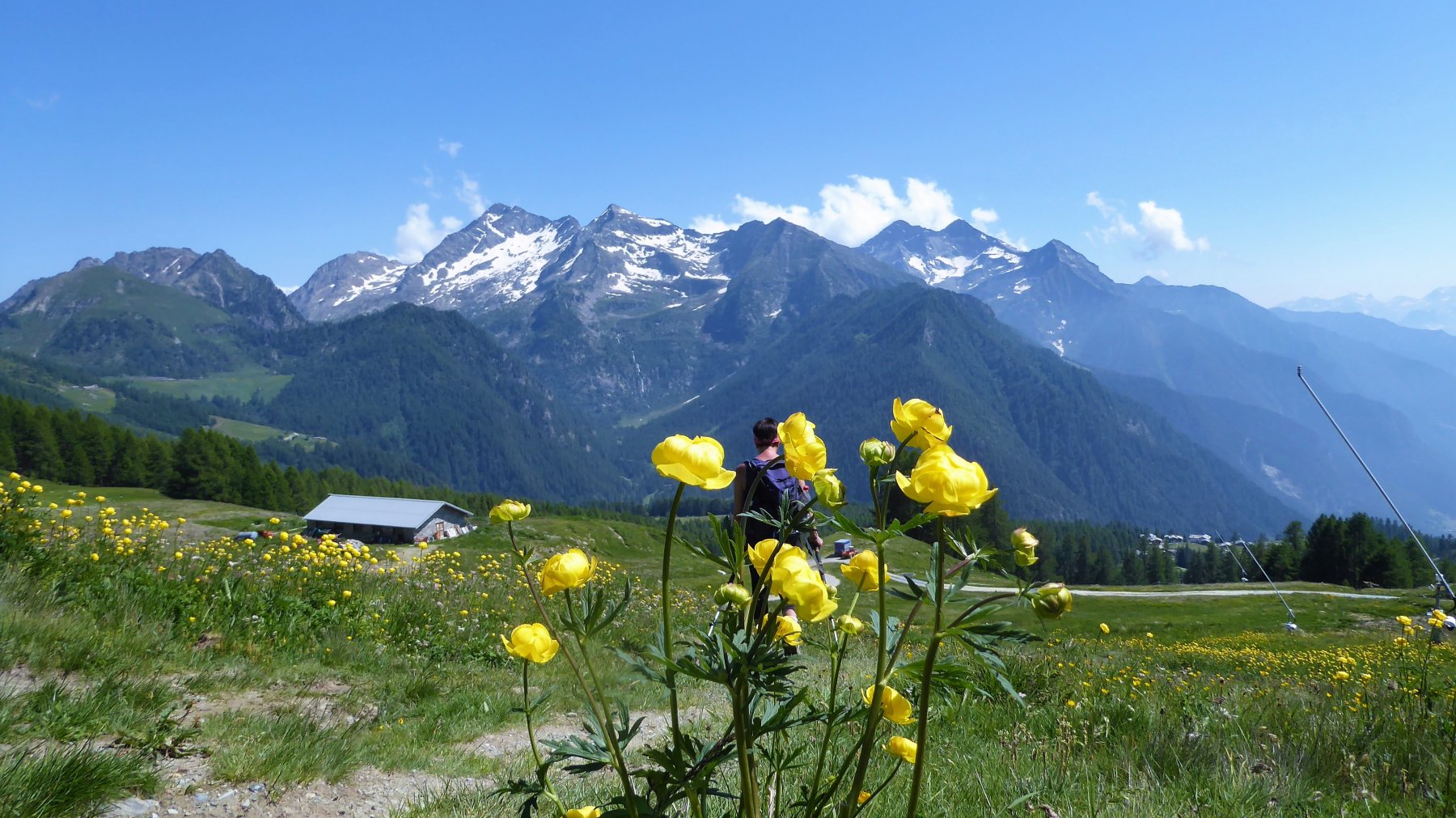
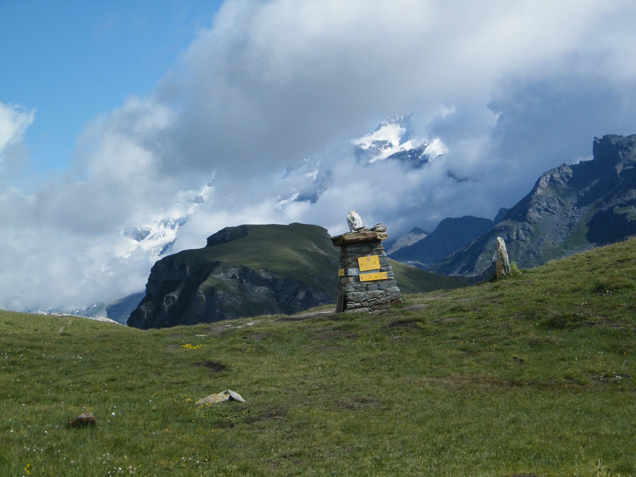
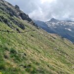
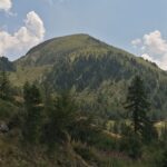
L'escursione fino ai laghi Palasina è una delle più frequentate della Valle d'Ayas sia per la facilità del percorso sia per il bel panorama
Avvicinamento
.
Descrizione
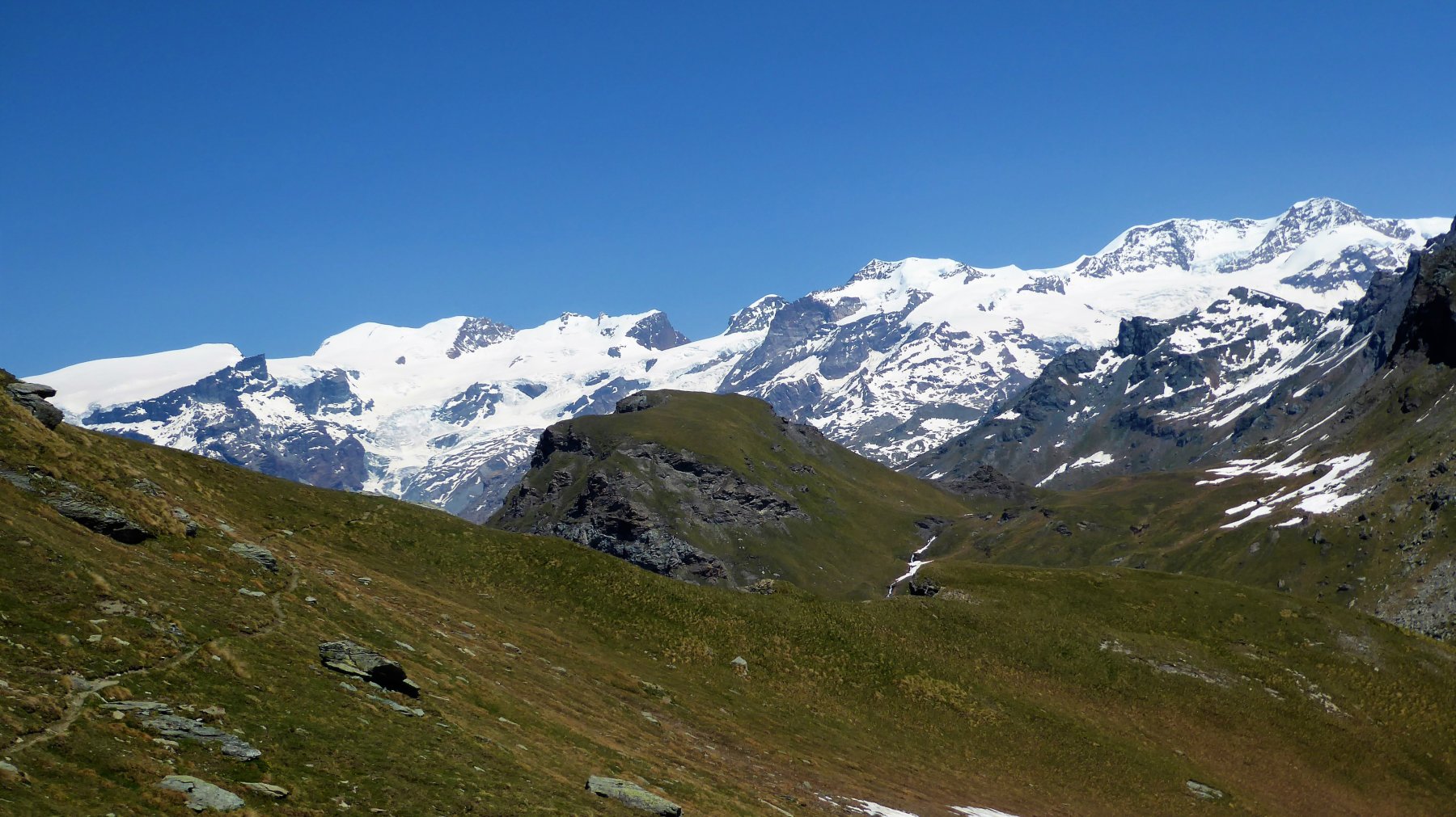
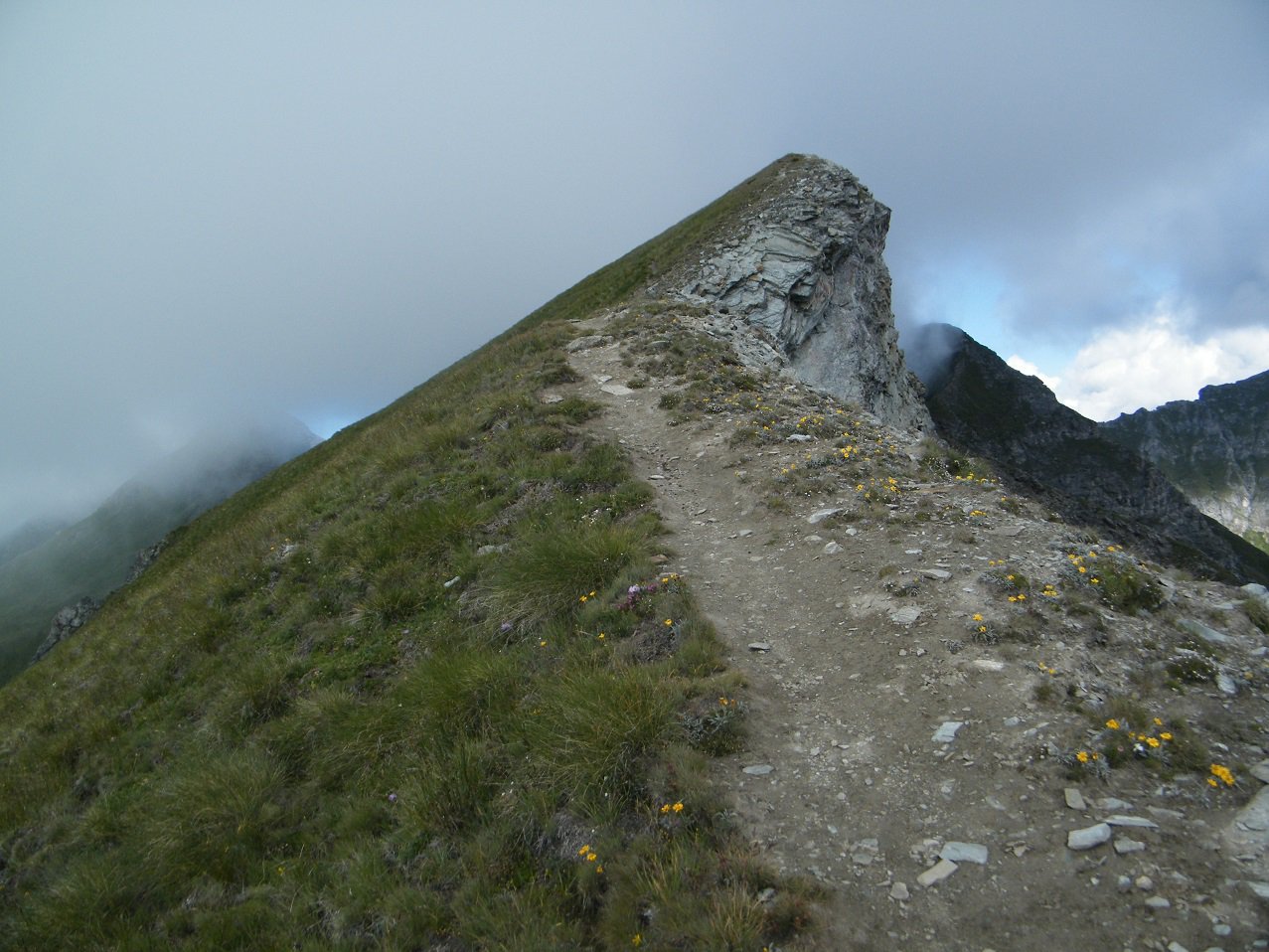
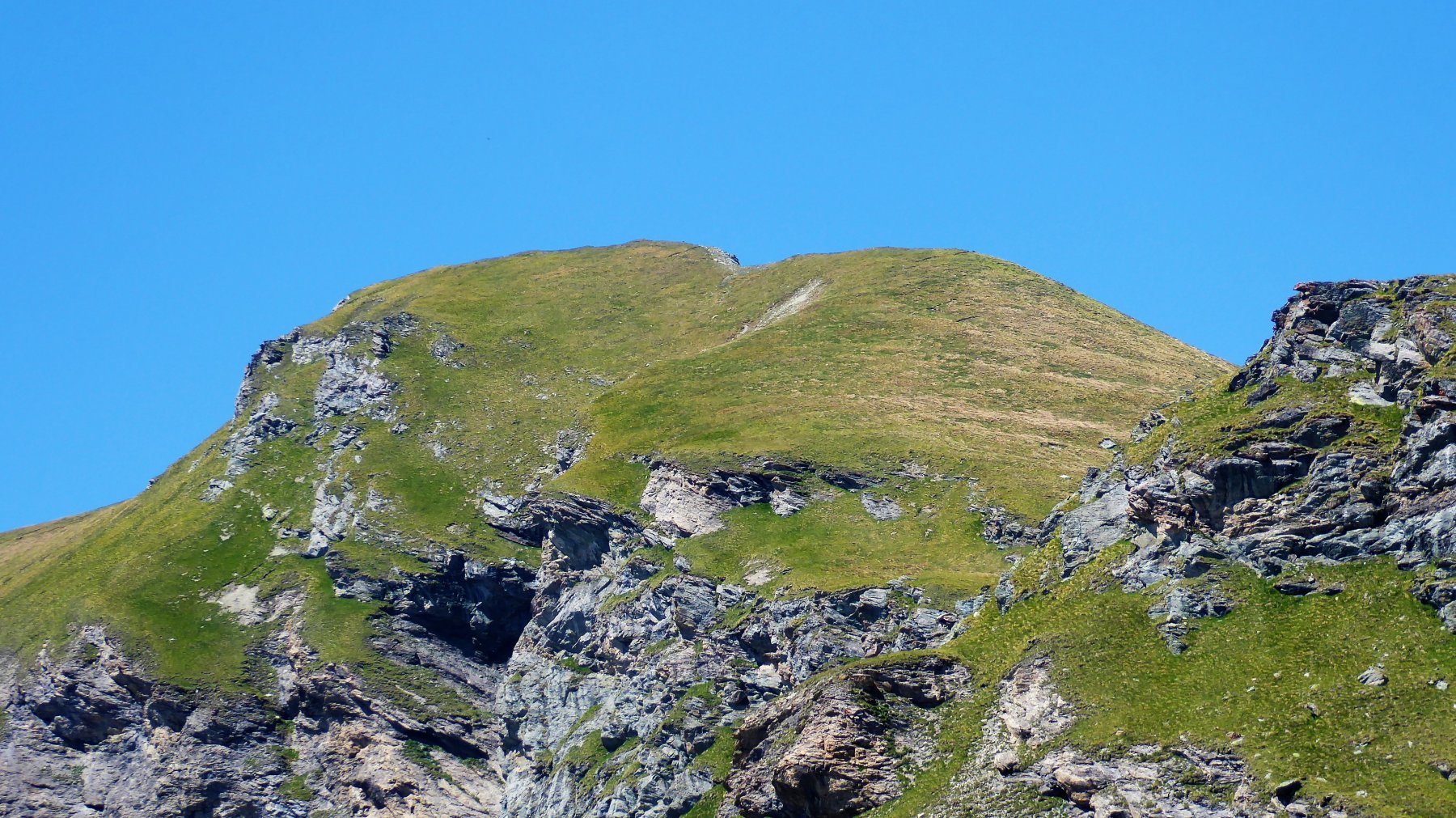
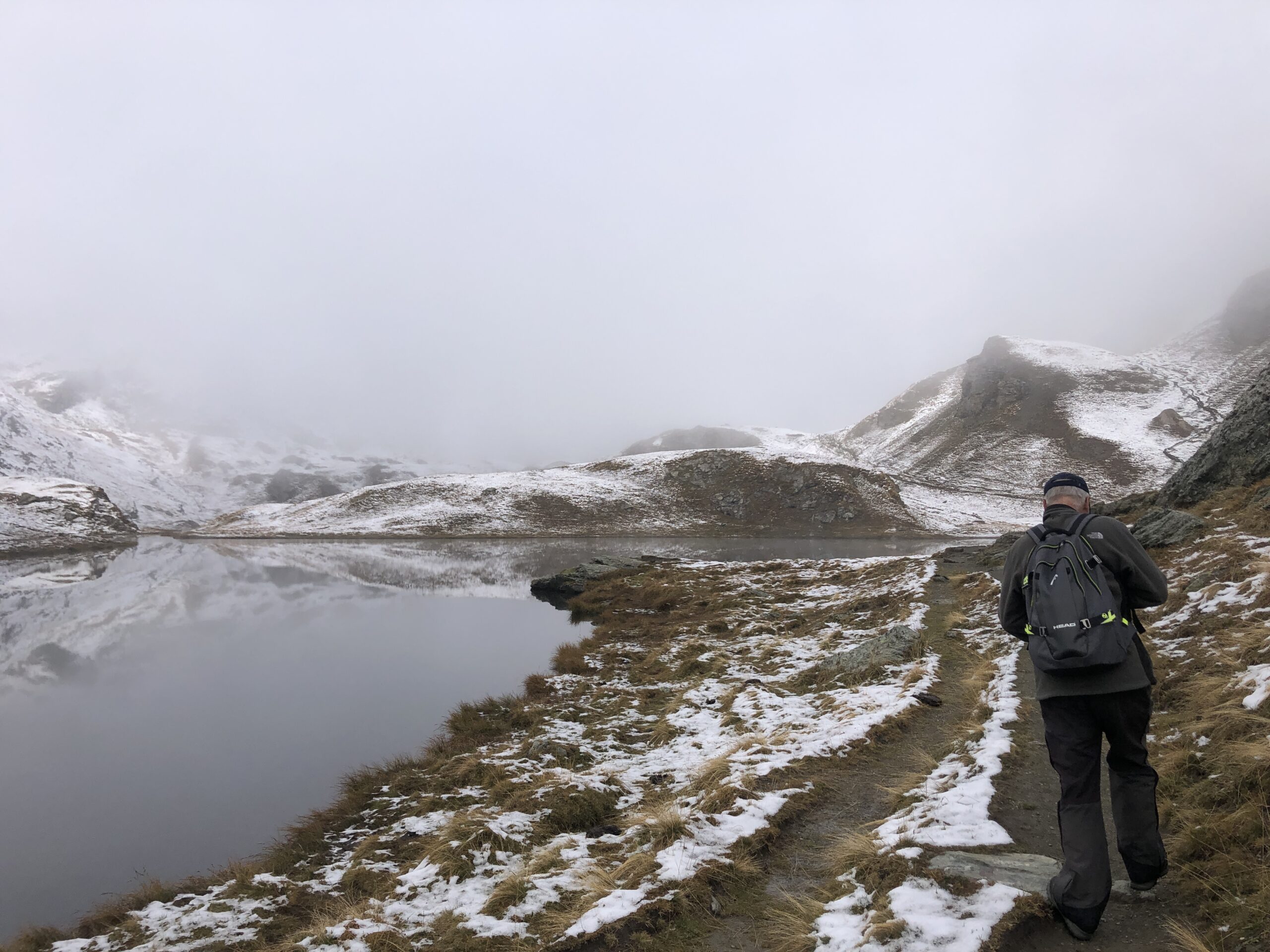
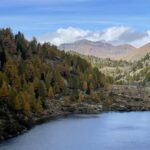
Da Estoul si segue l’itinerario E8 fino all’ alpe Palasina 2100 m seguendo il sentiero, si giunge al Lago della Battaglia 2487 m. Si attraversa il ponticello, si costeggia il lago mantenendosi sulla destra e, all’inizio della salita verso il lago Pocia 2500 m, s’imbocca il sentiero che conduce al colle Palasinaa 2668 m.
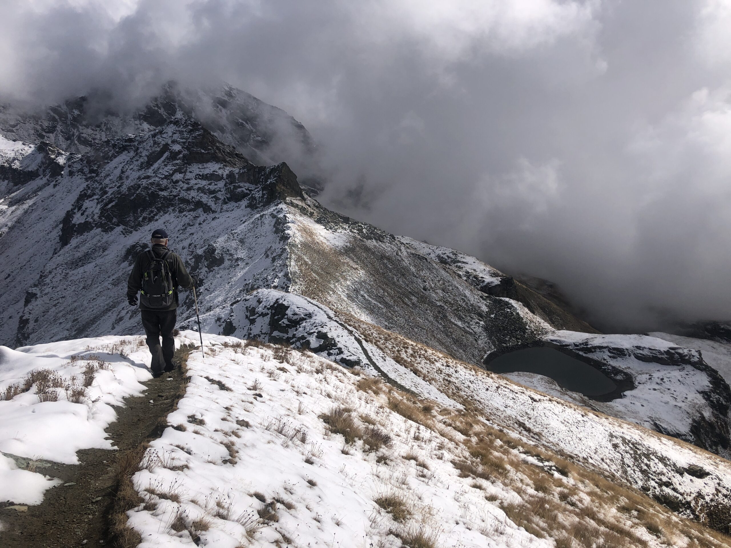
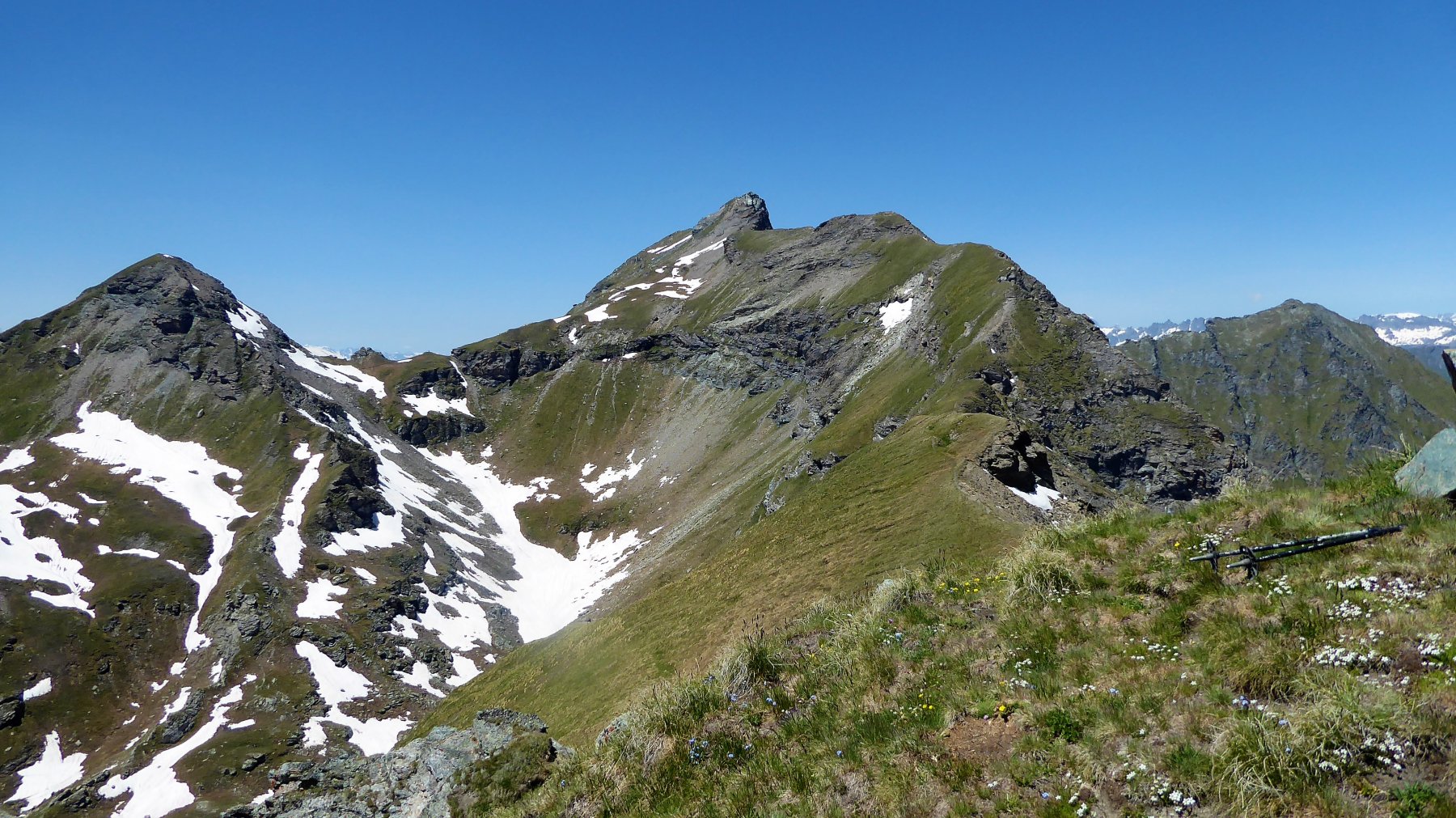
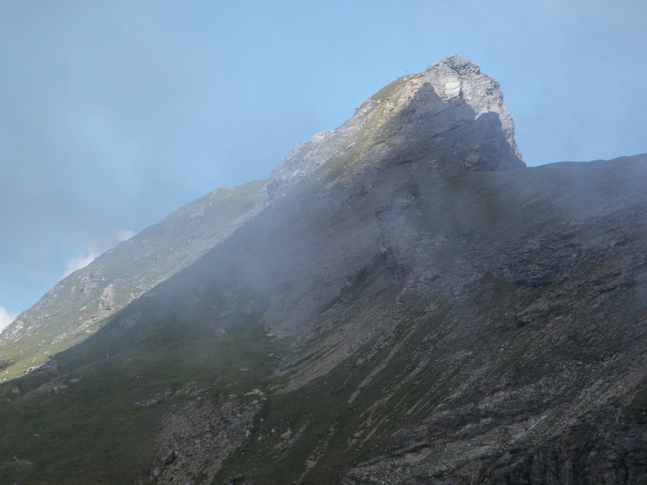
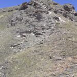
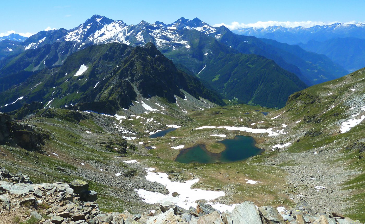
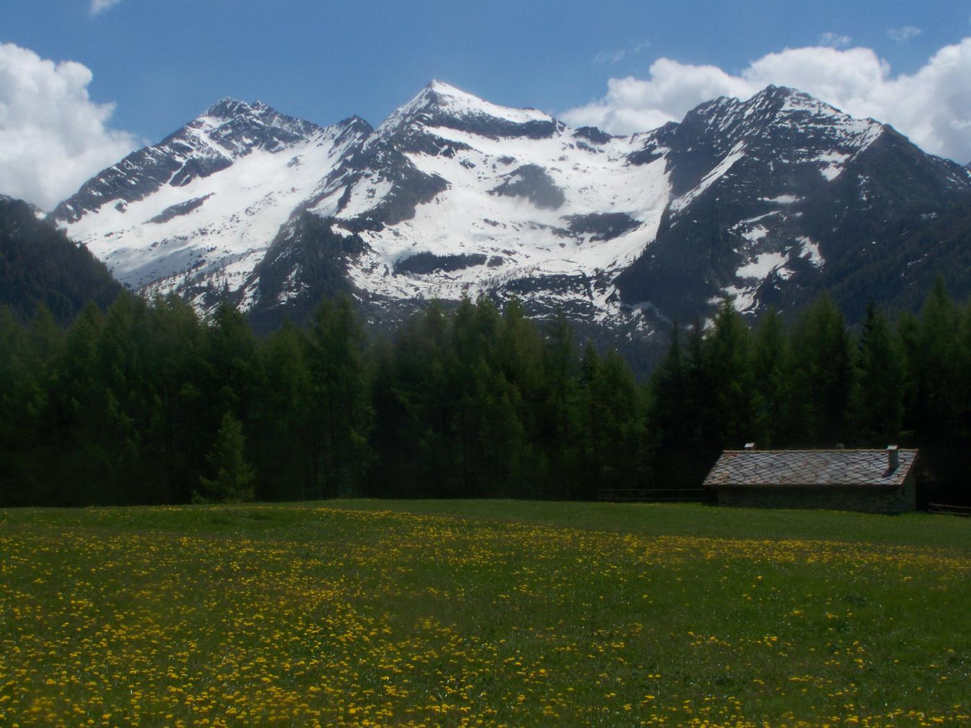
Deviare a ovest su un pendio ripido e in 25 minuti si giunge sulla punta del Lago a 2817 m con bel panorama sul Monte Rosa
- Cartografia:
- IGM f 29 tav.Gressonney IGM f 5 Cervino e Monte Rosa
- Bibliografia:
- Alpi Pennine
Ultima revisione 26/10/2023
Nelle vicinanze Mappa
Itinerari
03/05/2026 AO, Brusson D+ 958 m E Sud
Palasina (Punta) da Estoul
 0m
0m
13/10/2024 AO, Brusson D+ 1400 m E Varie
Frudiere (Laghi di) da Estoul, anello per Weissmatten
 50m
50m
24/06/2023 AO, Brusson D+ 1029 m EE Est
Cris (Punta) da Estoul, anello per i Laghi Palasina e Bringuez
 50m
50m
18/06/2026 AO, Brusson D+ 900 m EE Sud
Valnera (Punta) da Estoul
 50m
50m
30/08/2009 AO, Brusson D+ 1000 m EE Varie
Taf (Monte, Bocchetta del) da Estoul, anello per Colle Ranzola, Weissmatten, Passo Frudiere
 50m
50m
15/08/2025 AO, Brusson D+ 650 m EE Tutte
Regina (Punta della) da Estoul, anello per Colle Ranzola e Cima della Garda
 50m
50m
05/10/2025 AO, Brusson D+ 538 m E Ovest
Regina (Punta della) da Estoul per il Colle della Ranzola
 50m
50m
17/05/2026 AO, Brusson D+ 620 m E Sud
Arp (Rifugio) da Estoul e il Lago Literan
 50m
50m
12/01/2024 AO, Brusson D+ 1025 m EE/F Nord
Nery (Mont) da Estoul per il Colle Ranzola
50m
01/01/2025 AO, Brusson D+ 300 m T Ovest
Ranzola (Colle della) da Estoul
 50m
50m
Servizi
1.3Km
4.9Km
Le Coin des Melezes B&B
Brusson
5.8Km
Laghetto Albergo
Brusson
6.1Km
Gran Baita Albergo
Gressoney-Saint-Jean
6.2Km
La Grolla Campeggio
Challant
6.4Km
Flying brasserie (Paul Verlaine) Ristorante
Gressoney-Saint-Jean
6.7Km
Kleine bar Ristorante
Gressoney-Saint-Jean
7.8Km
Bìerfall Ristorante
Gressoney-Saint-Jean
9.4Km